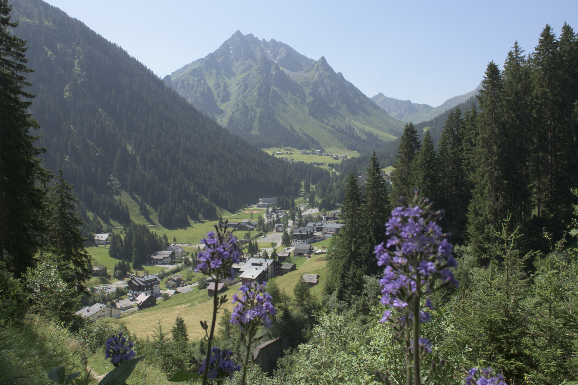
Via Alpina ​-​ Montafon ​-​ St​.​ Antönien to Gargellen

Difficult
Einkehrmöglichkeit
Mehrtagestour
Mountaineering · Refreshment stops · Multi-day tour
05:15 h duration
10,5 km Length in km
2377 m Highest point
1408 m Lowest point
963 m gain Ascent
968 m gain Descent
Stamina
Difficulty
Adventure
Scenery

Tour description

Border crossing. From St. Antönien, the further route leads you over the St. Antönier Pass (border between Austria and Switzerland) down to Gargellen.
Sicherheitstipps für Wandern in Vorarlberg

EN NOTRUF:

EN 140 - Alpine Notfälle österreichweit 

EN 144 - Alpine Notfälle Vorarlberg 

EN 112 - Euro-Notruf (funktioniert mit jedem Handy/Netz) 

Properties
Route type Mountaineering, Refreshment stops, Multi-day tour
Difficulty Difficult
Elevation profile
Best months
Jan
Feb
Mar
Apr
May
Jun
Jul
Aug
Sep
Oct
Nov
Dec