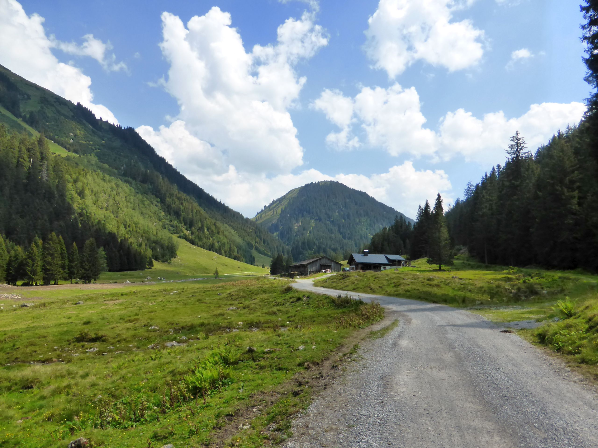
From the Lower Gaflunaalpe over Alpguessee to Hochjoch

Difficult
Einkehrmöglichkeit
Rundtour
Hiking · Refreshment stops · Round trip
06:02 h duration
15,4 km Length in km
2372 m Highest point
1354 m Lowest point
1426 m gain Ascent
495 m gain Descent
Stamina
Difficulty
Adventure
Scenery

Tour description

Hiking bus stop - Lower Gaflunaalpe - Lower Dürrwaldalpe - Alpguesalpe - Lower and Upper Alpguessee - Piziguter ridge - Wormser Törl - Grasjoch (Furkla) - Kreuzjoch - Wormser hut - Bergstation Sennigrat cable car
Sicherheitstipps für Wandern in Vorarlberg

EN NOTRUF:

EN 140 - Alpine Notfälle österreichweit 

EN 144 - Alpine Notfälle Vorarlberg 

EN 112 - Euro-Notruf (funktioniert mit jedem Handy/Netz) 

Properties
Route type Hiking, Refreshment stops, Round trip
Difficulty Difficult
Elevation profile
Best months
Jan
Feb
Mar
Apr
May
Jun
Jul
Aug
Sep
Oct
Nov
Dec