From the Untere Gaflunaalpe via the Alpguessee to the Hochjoch

Difficult
Bergbahnauf-/-abstieg
Hiking · Bergbahnauf-/-abstieg · Silbertal
06:02 h duration
15,4 km Length in km
2372 m Highest point
1354 m Lowest point
1426 m gain Ascent
495 m gain Descent
Stamina
Difficulty
Adventure
Scenery

Tour description

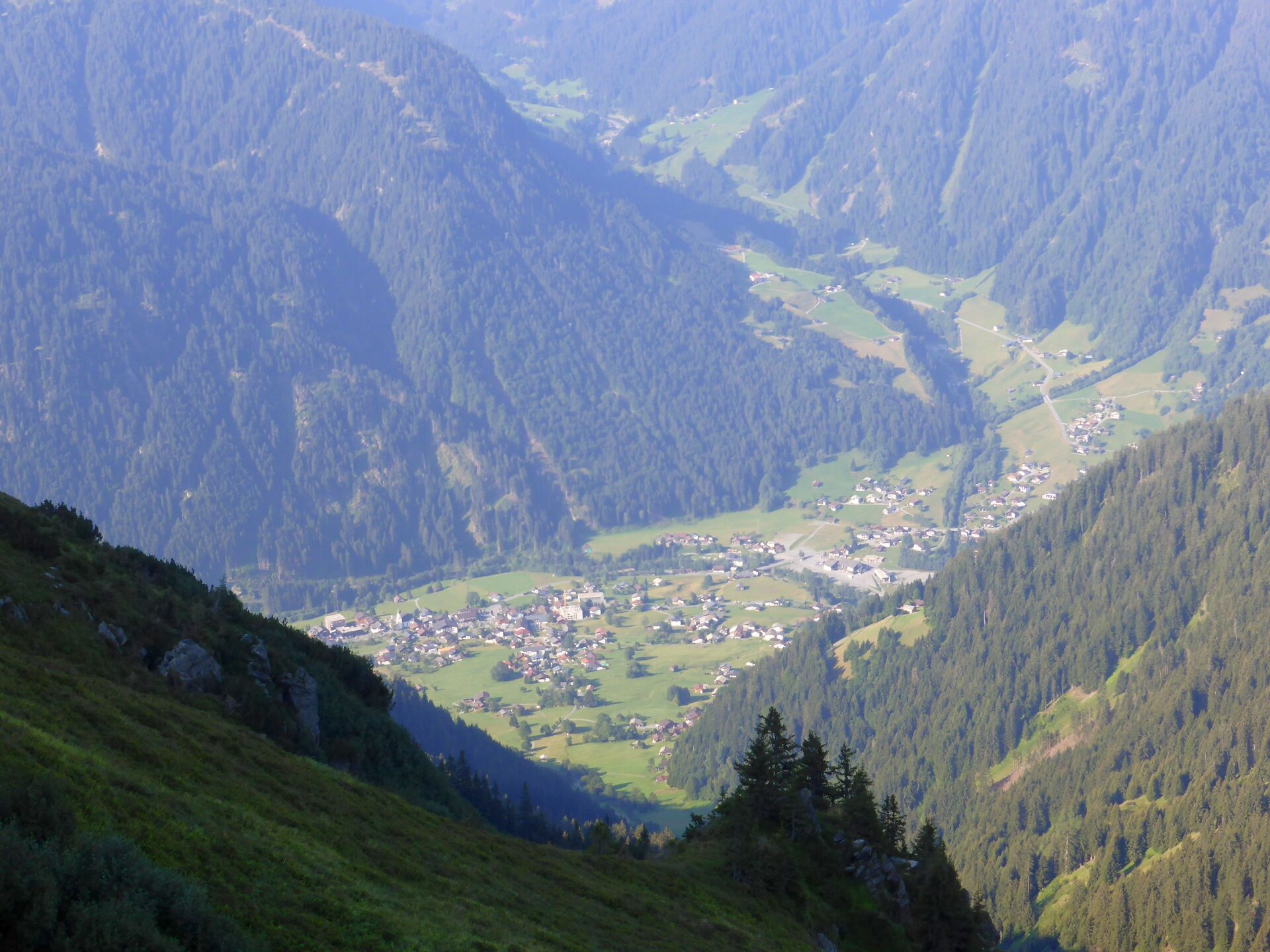
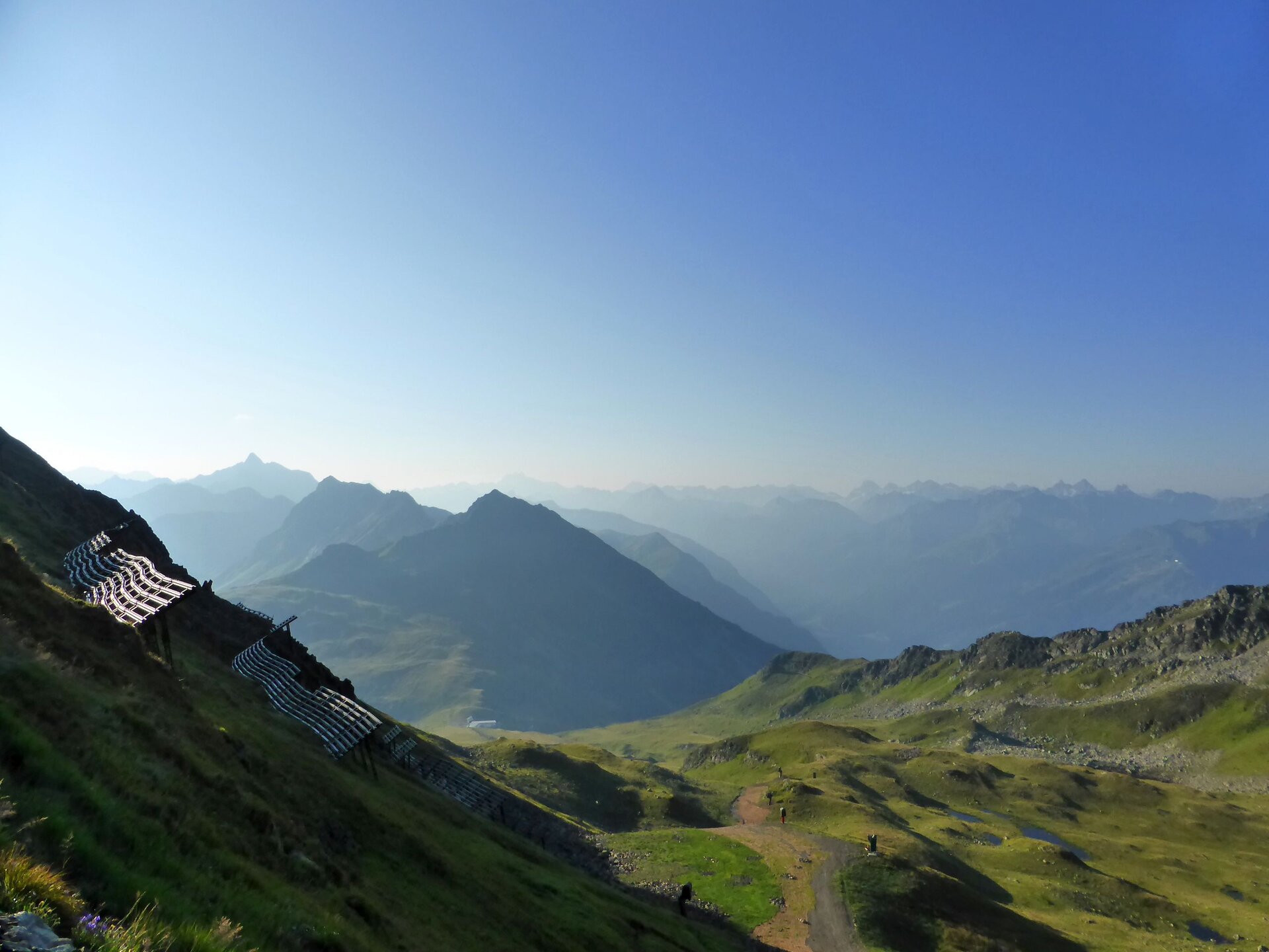
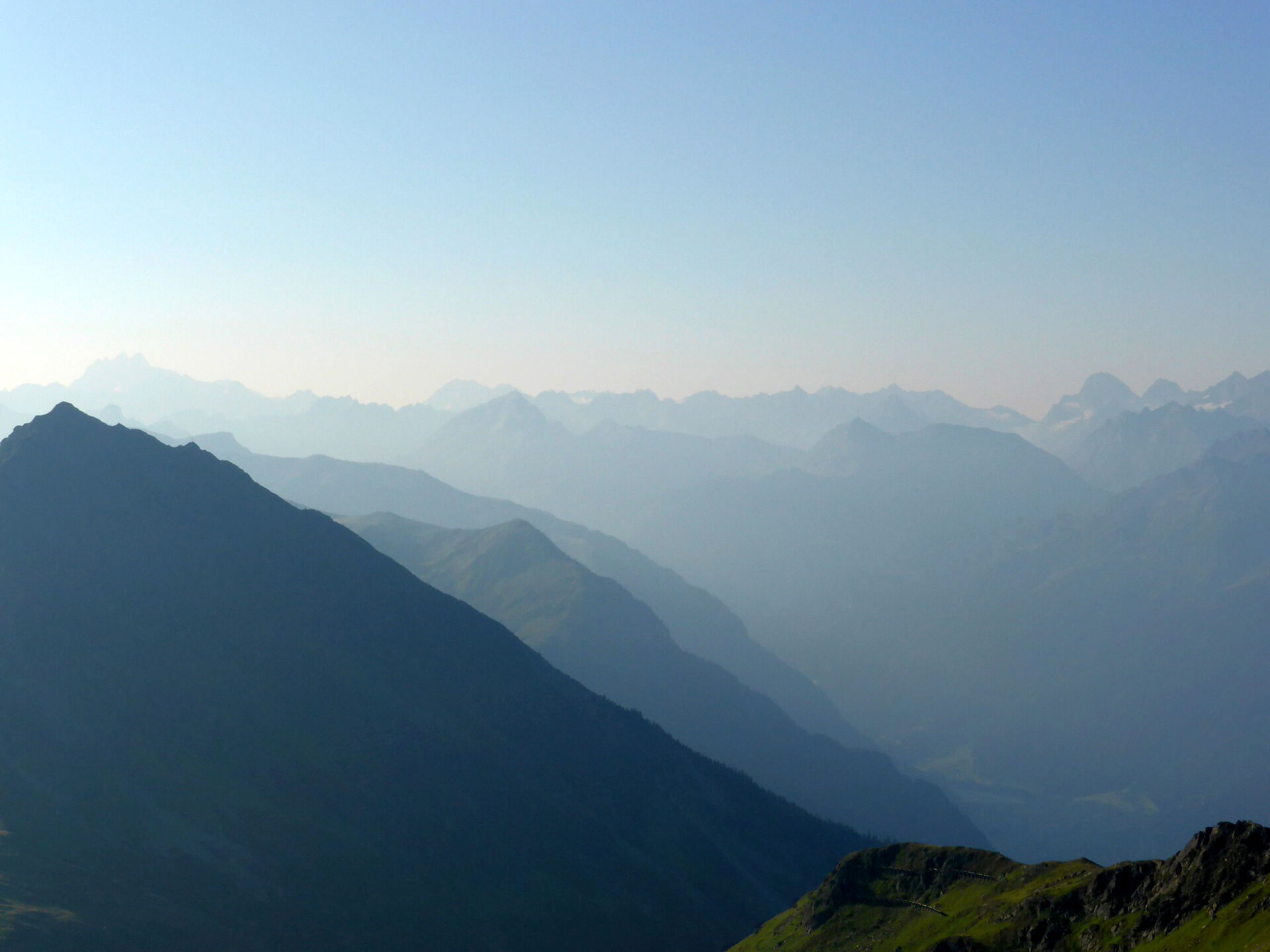
A challenging, scenically stunning hike from the Untere Gaflunaalpe via the Alpguesalpe and the Alpguessee up to the Hochjoch, offering sweeping views and impressive glimpses into the Verwall European Nature Reserve. The tour can be shortened at several points by using the mountain railways.

The trail requires good physical conditioning and sure-footedness, but it rewards you with a peaceful, unspoiled mountain landscape and the special feeling of being out in one of Vorarlberg’s quieter mountain regions. The Alpguesalpe is not staffed. Therefore, it is advisable to bring plenty of food and drinks with you.

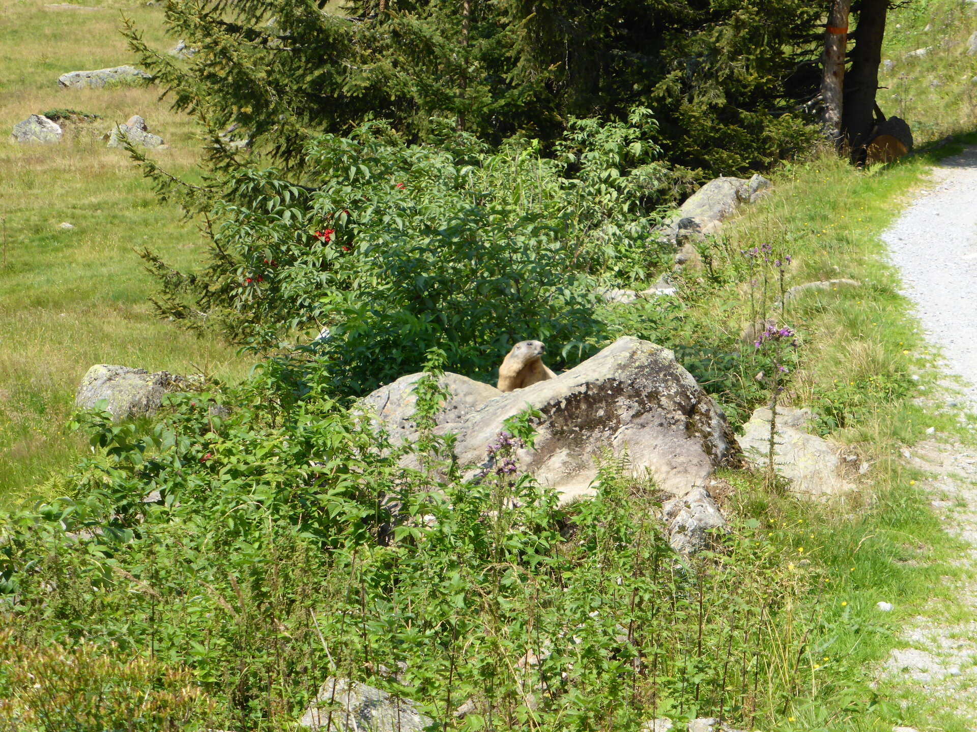
The Verwall European Protected Area—also known as the Verwall Natura 2000 site—offers exceptional scenic and ecological appeal. This largely undeveloped mountain region on the border with Tyrol, with its vast expanse and tranquility, serves as a vital habitat for numerous mountain plants and shy wildlife. Here, chamois, golden eagles, and ptarmigans, among others, find valuable refuges. The area also has something special to offer botanically, such as the dwarf willow, the “smallest tree in the world,” which rises only a few centimeters above the ground.

Starting Point - Directions - End Point

Starting Point

Hiking bus stop near the Untere Gaflunaalpe


Directions

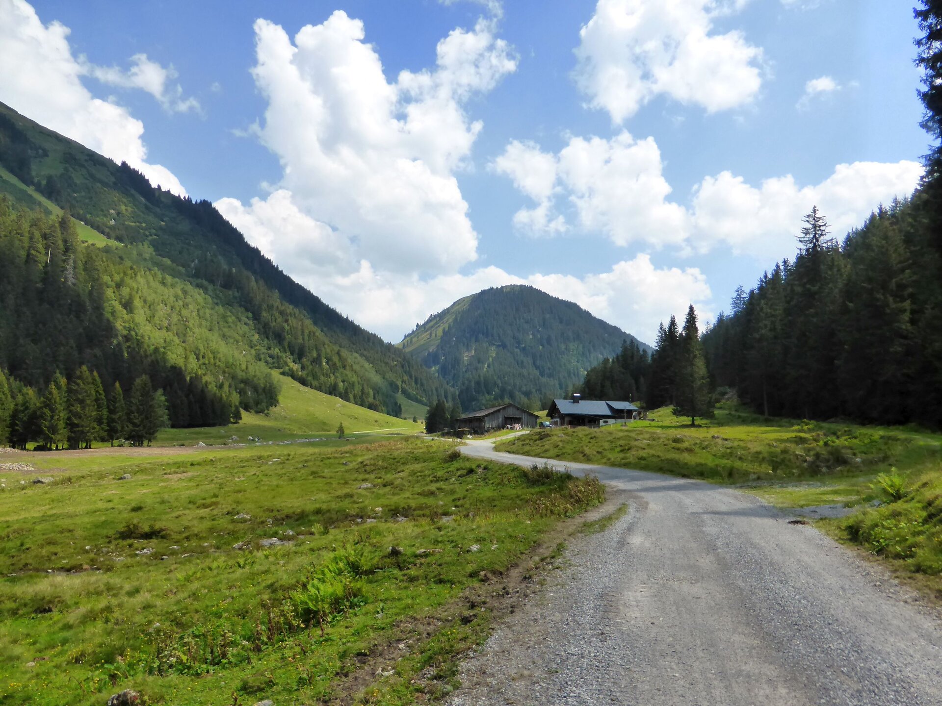
Take the hiking bus to the stop near the Untere Gaflunaalpe. From there, continue on foot slightly uphill into the valley. The signs indicate that you’ll reach the Untere Dürrwaldalpe in about 35 minutes.

At the “Untere Dürrwaldalpe” junction, turn right and follow the wide trail further uphill. Shortly afterward, you’ll pass the Untere Dürrwaldalpe. Continue hiking uphill along the wide trail to the Alpguesalpe. It’s worth taking a break here. Please note that the Alpguesalpe is not staffed.

From the Alpguesalpe, two trails branch off in different directions. Take the trail toward “Wormser Höhenweg/Roßberg.” After a while, you’ll first reach the Lower Alpguessee and shortly thereafter the Upper Alpguessee. The view from this hilltop is already impressive.

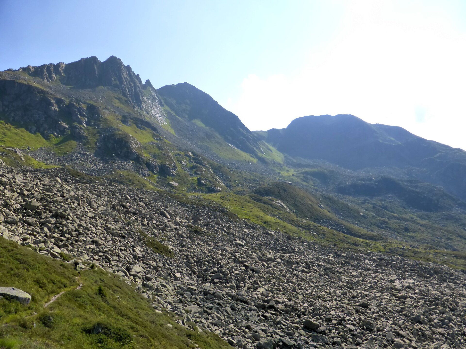
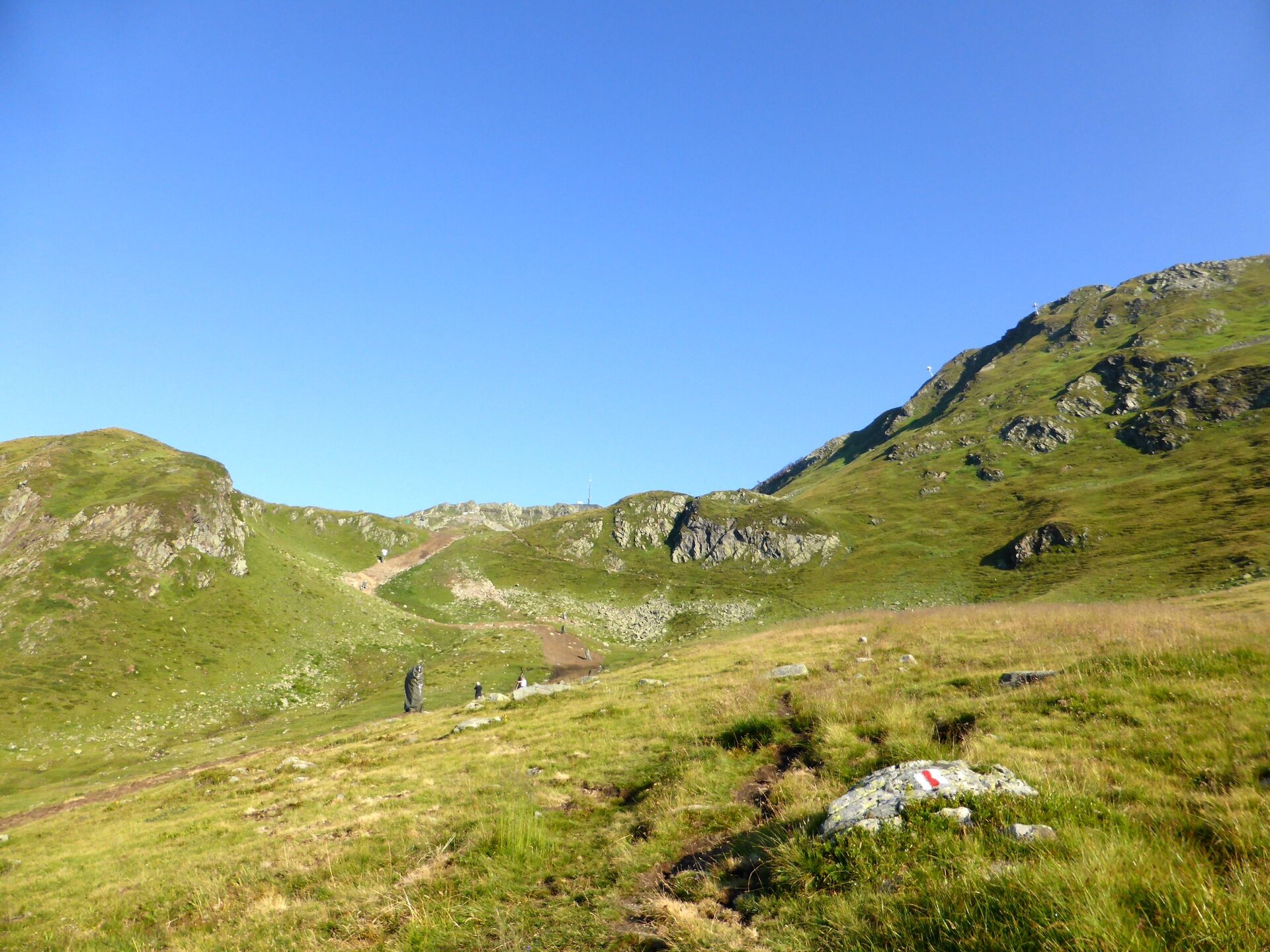
Soon after, you’ll reach the Wormser Höhenweg. From the ridge, the view opens up to the other side of the valley, toward the Innermontafon. Now the first descent begins, winding down into the valley. You’ll then hike along the Piziguter Ridge over rocky scree. The trail markers are clearly visible.

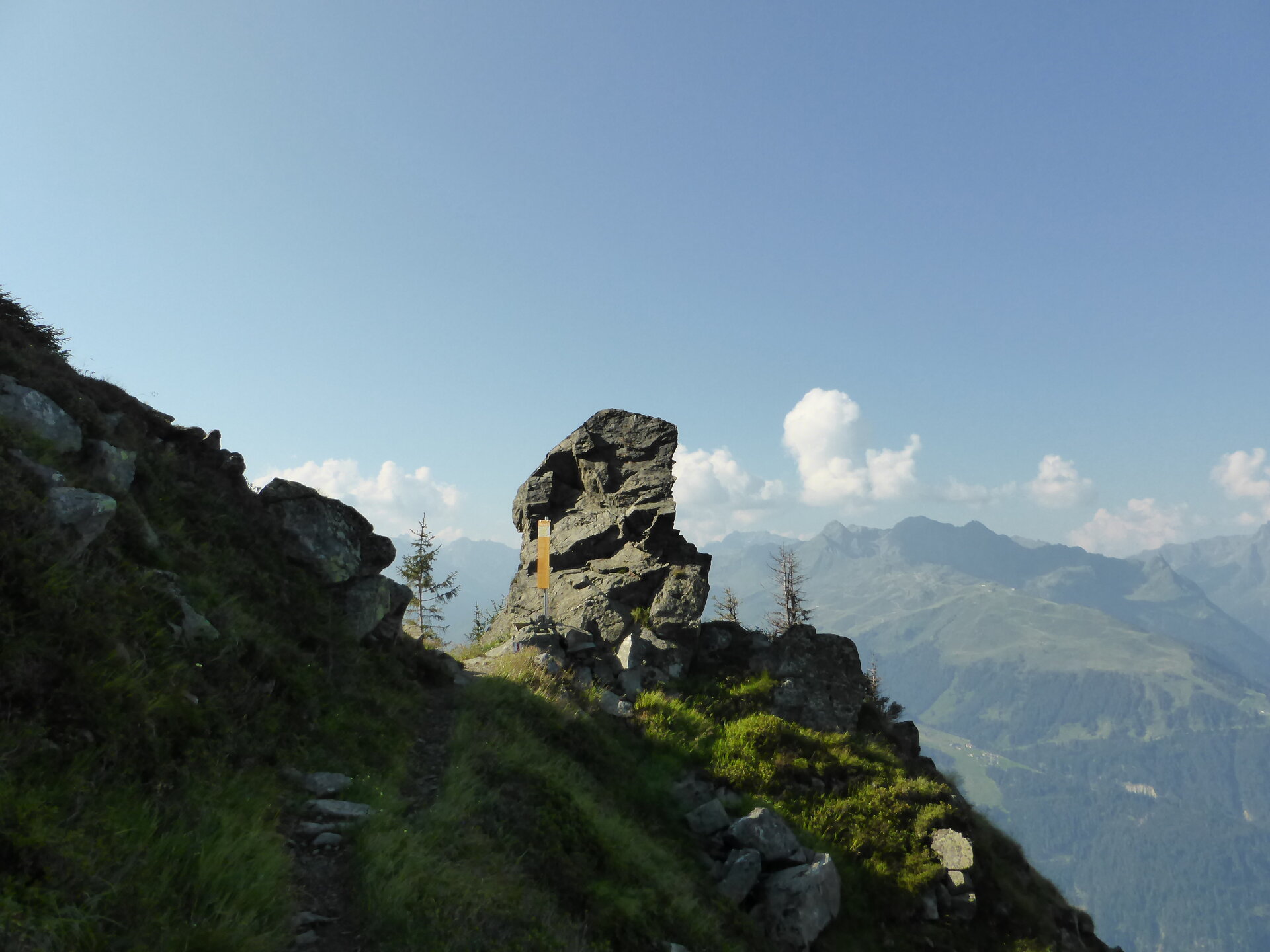
This is followed by a gentle ascent to the turnoff for the Scheimersch. Climbing the Scheimersch is recommended only for experienced hikers who are not afraid of heights and have sure footing. You’ll hike around the Scheimersch and shortly thereafter reach the Wormser Törl. There, you can read an information board with interesting facts about the Verwall European Nature Reserve.

Another gentle descent leads you to the Grasjoch Hut in the Grasjoch/Furkla area. This is also where the other trail from the Alpguesalpe joins up.

Now the final ascent of this hike begins. You’ll hike uphill along the ski slope until the summit cross of the Kreuzjoch is clearly visible. The short climb to the summit cross is easily manageable and rewards you with a wonderful view over the Außermontafon.

Alternatively, you can shorten the ascent from the Grasjoch Hut toward the Kreuzjoch by taking the Hochalpila Cable Car (check operating hours).

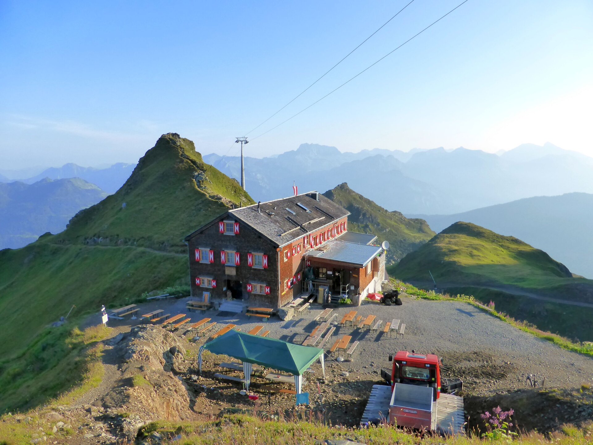
From here, the Wormser Hut is not far away. You can choose either the ridge trail or the road to reach the hut. After this challenging hike, the road is the easier option. The Wormser Hut is nestled in a hollow and is a great place to stop for a break.

From the Wormser Hut, an easy trail takes you to the Sennigrat Bahn mountain station in about 10 to 15 minutes. From there, continue on foot downhill to Kapell. Alternatively, you can take a shortcut on this section using the Sennigrat Bahn’s two-person chairlift (check operating hours). From Kapell, you can take the Hochjoch Bahn back down to the valley in Schruns.


End Point

Sennigrat Bahn mountain station or Kapell, followed by the descent to Schruns

Getting to the starting point

This tour starts at the lower Gafluna Alpe. You can get there from the Silbertal town center by taking the hiking bus (check schedules and make reservations).

Take public transportation to the Silbertal town center:
The Montafon regional bus and the Montafonerbahn provide convenient and flexible travel throughout the valley. The train and bus connect the towns regularly, every half hour or every hour depending on the route. You can find the right connection here. Bus stop for the start/end of this tour: Silbertal Kristbergbahn

Driving to Silbertal:
Take the
A14 to the Bludenz/Montafon exit and continue on the Montafonerstraße L188 to Schruns. In Schruns, follow the signs toward Silbertal. Paid parking is available at the Kristbergbahn.

Important Information

For this challenging mountain hike, we recommend that you bring the right gear: a daypack with a rain cover, sturdy and comfortable footwear, weather-appropriate and durable clothing in layers, trekking poles if needed, sun and rain protection, provisions and plenty of drinking water, a first-aid kit, a pocket knife, a cell phone, a headlamp if needed, and maps.


Places to Stop for Refreshments

Along the route, there are places to stop for refreshments at the Grasjoch Hut, the Wormser Hut, and the Kapell Restaurant at Hochjoch. Please note the respective opening hours.

Useful tips

Silbertal Hiking Bus:

The Silbertal Hiking Bus runs from mid-June to mid-September on Tuesdays and Fridays between the Silbertal town center and the Untere Gaflunaalpe. Tickets are available exclusively at the Silbertal Citizen Service Center, by email at buergerservice@silbertal.at, by phone at +43 5556 74104, and online at montafon.at/wanderbus-silbertal. Reservations are required and must be made by 5:00 p.m. the day before at the latest. Please note: The hiking bus is not included in the Montafon Brandnertal Card, the Summer Multi-Day Pass, or the Season Pass.


You can find many more highlights of this hike at:
https://naturvielfalt.at/schutzgebiet/verwall/

Sicherheitstipps für Wandern in Vorarlberg

EN NOTRUF:

EN 140 - Alpine Notfälle österreichweit 

EN 144 - Alpine Notfälle Vorarlberg 

EN 112 - Euro-Notruf (funktioniert mit jedem Handy/Netz) 

Properties
Route type Hiking, Bergbahnauf-/-abstieg
Difficulty Difficult
Start Alpe Gafluna
Finish Bergstation Hochjoch Bahn
Elevation profile
Best months
Jan
Feb
Mar
Apr
May
Jun
Jul
Aug
Sep
Oct
Nov
Dec