Montafoner huts route | Silvretta-Bielerhöhe to Wiesbadener Hütte

Tour description
A high-alpine stage of the Montafon Hut Loop through the Bieltal Valley to the Radsattel, offering impressive views of the Ochsental Glacier and Piz Buin.
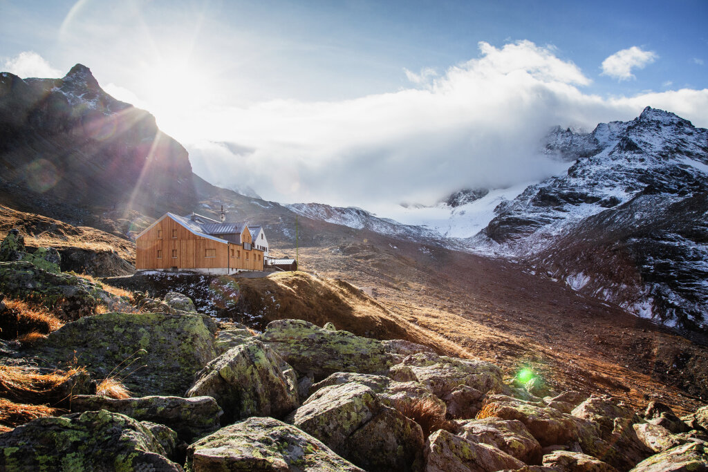
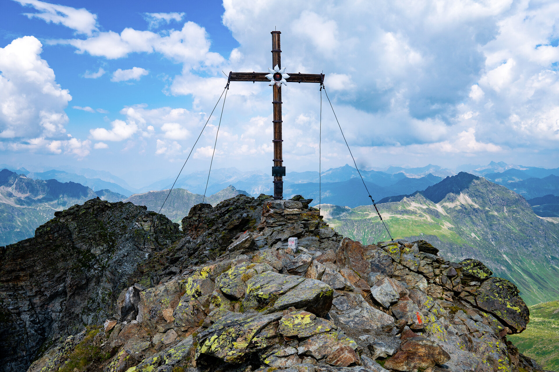
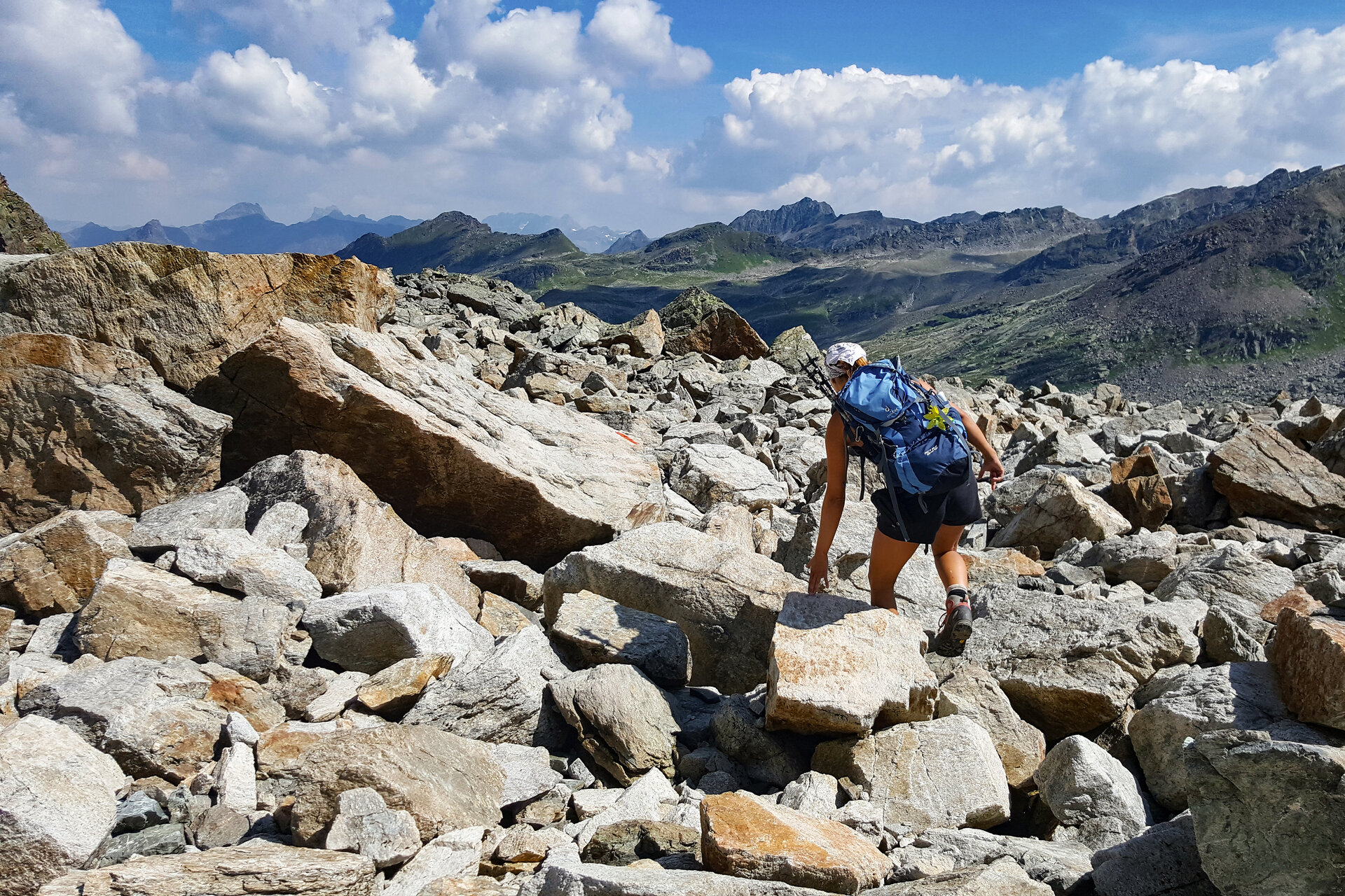
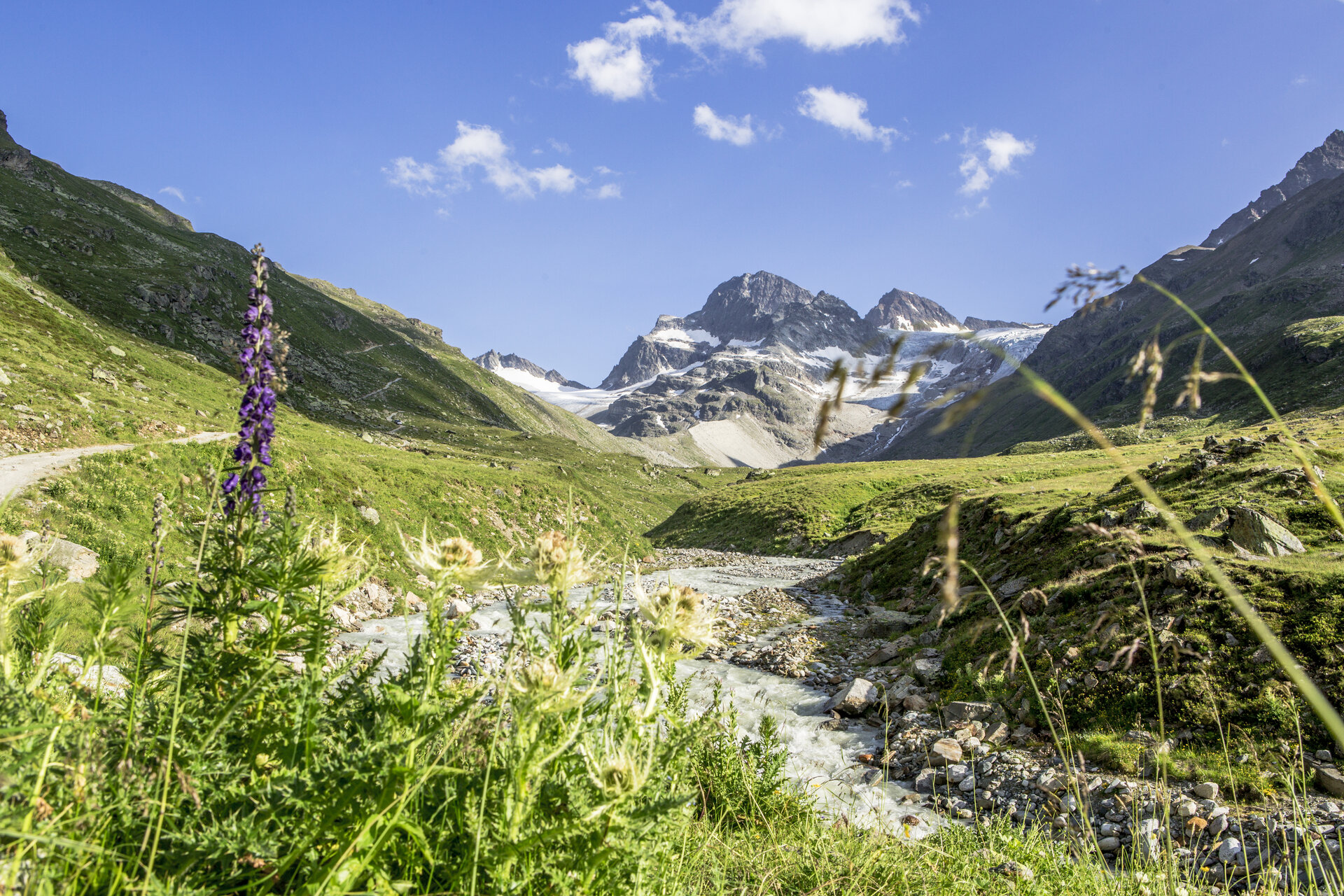
At the Hohe Rad, a peak in the Silvretta range just under 3,000 meters high, this stage takes you deep into the high-alpine landscape. The Bieltal Valley, with its surrounding peaks and the Bieltalferner glacier, is a particular scenic highlight.
From the Radsattel, an impressive view opens up of the Ochsentaler Glacier, Piz Buin, and the entire Silvretta massif. The descent to the Wiesbadener Hut then continues through this striking high-mountain landscape.
Sicherheitstipps für Wandern in Vorarlberg
EN NOTRUF:
EN 140 - Alpine Notfälle österreichweit
EN 144 - Alpine Notfälle Vorarlberg
EN 112 - Euro-Notruf (funktioniert mit jedem Handy/Netz)