Tour description
Aktivpark Montafon – Schruns – Silbertal – Alpengasthaus Fellimännle – Jausenstation Hasahüsli – Wasserstubental – Obere Wasserstubenalpe – Bergstation Sonnenkopfbahn – Talstation Sonnenkopfbahn – Dalaas – Braz – Stallehr – Lorüns – St. Anton im Montafon – Vandans – Aktivpark Montafon
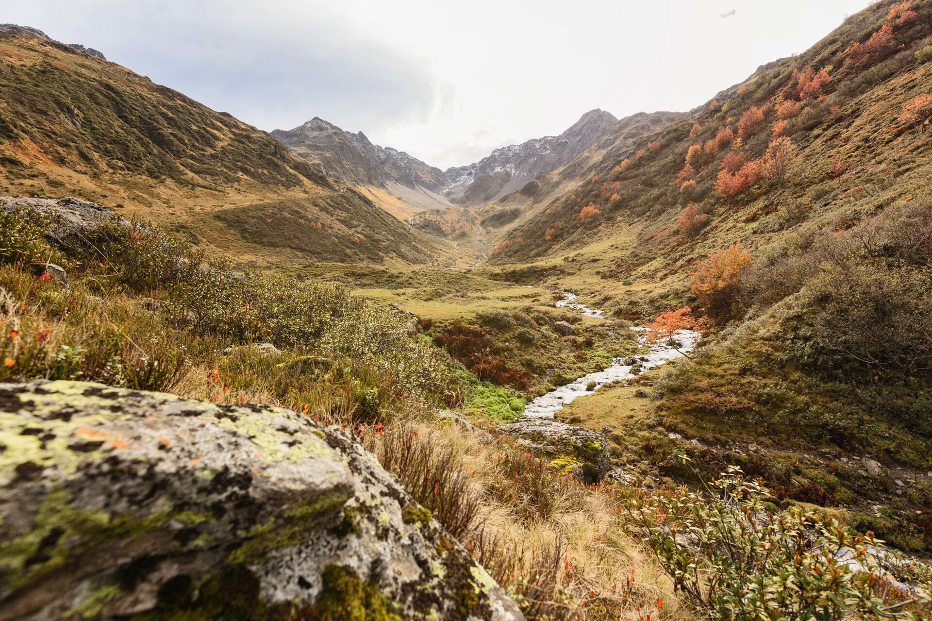
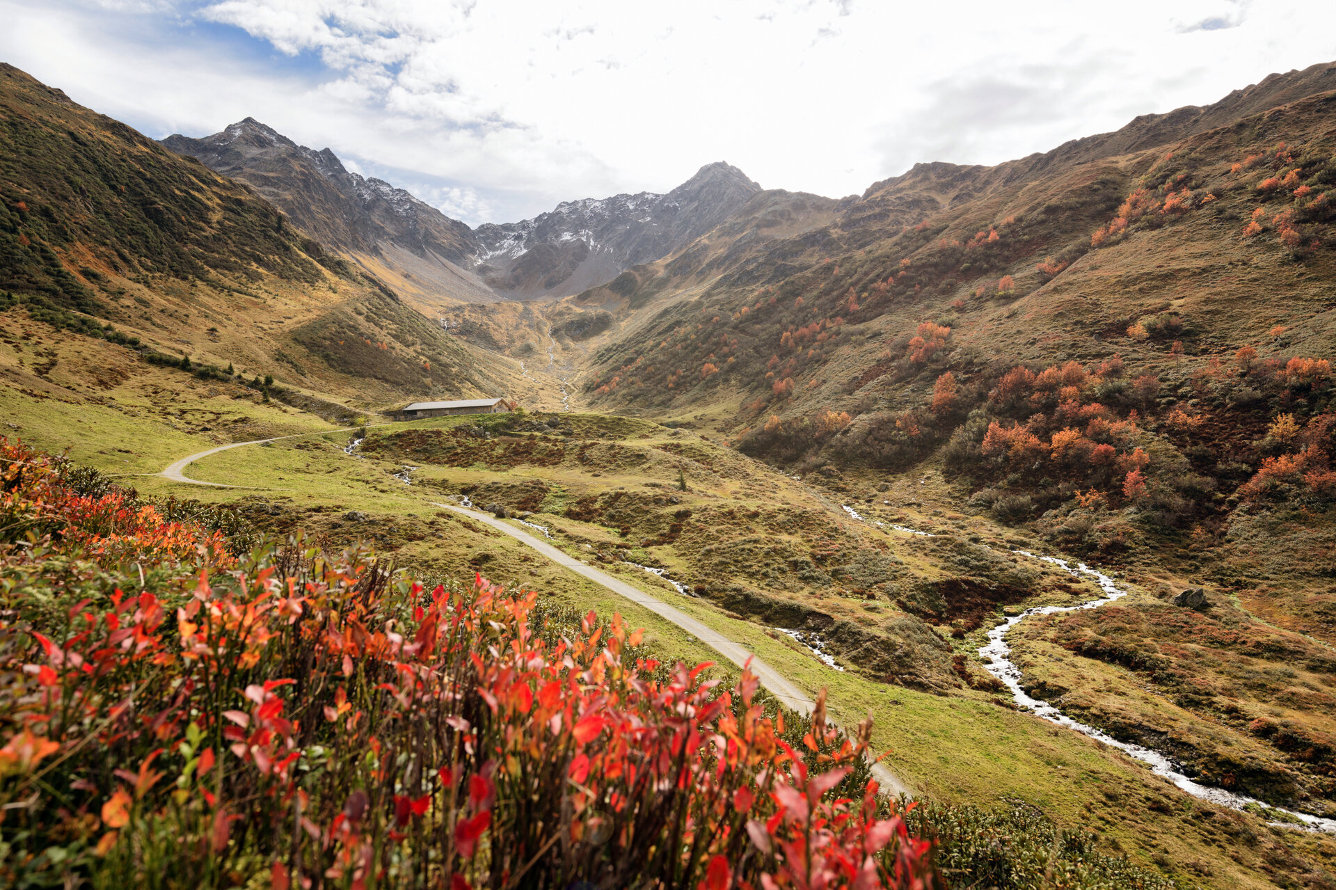
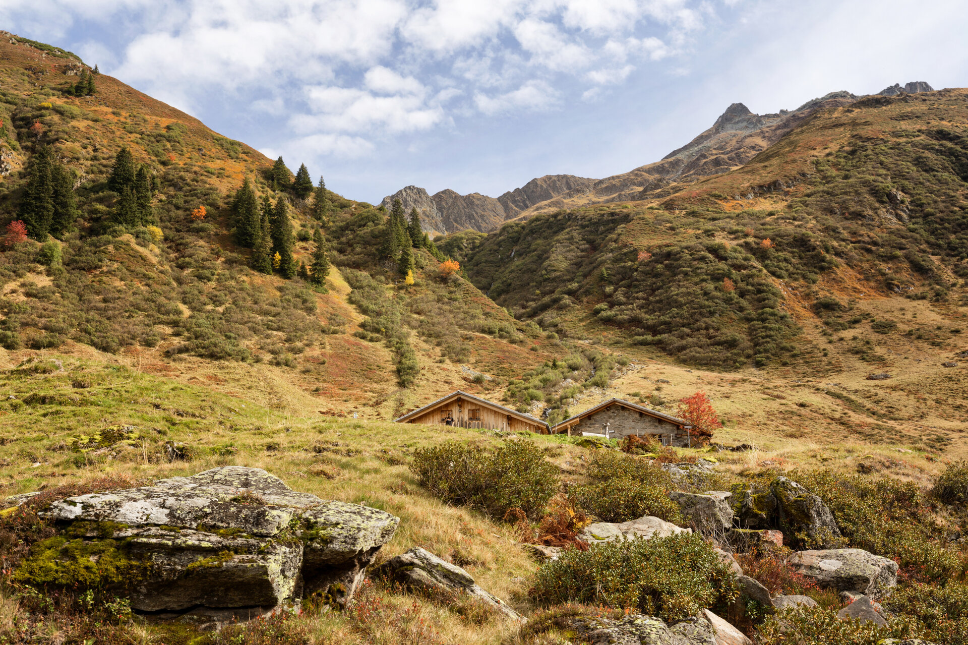
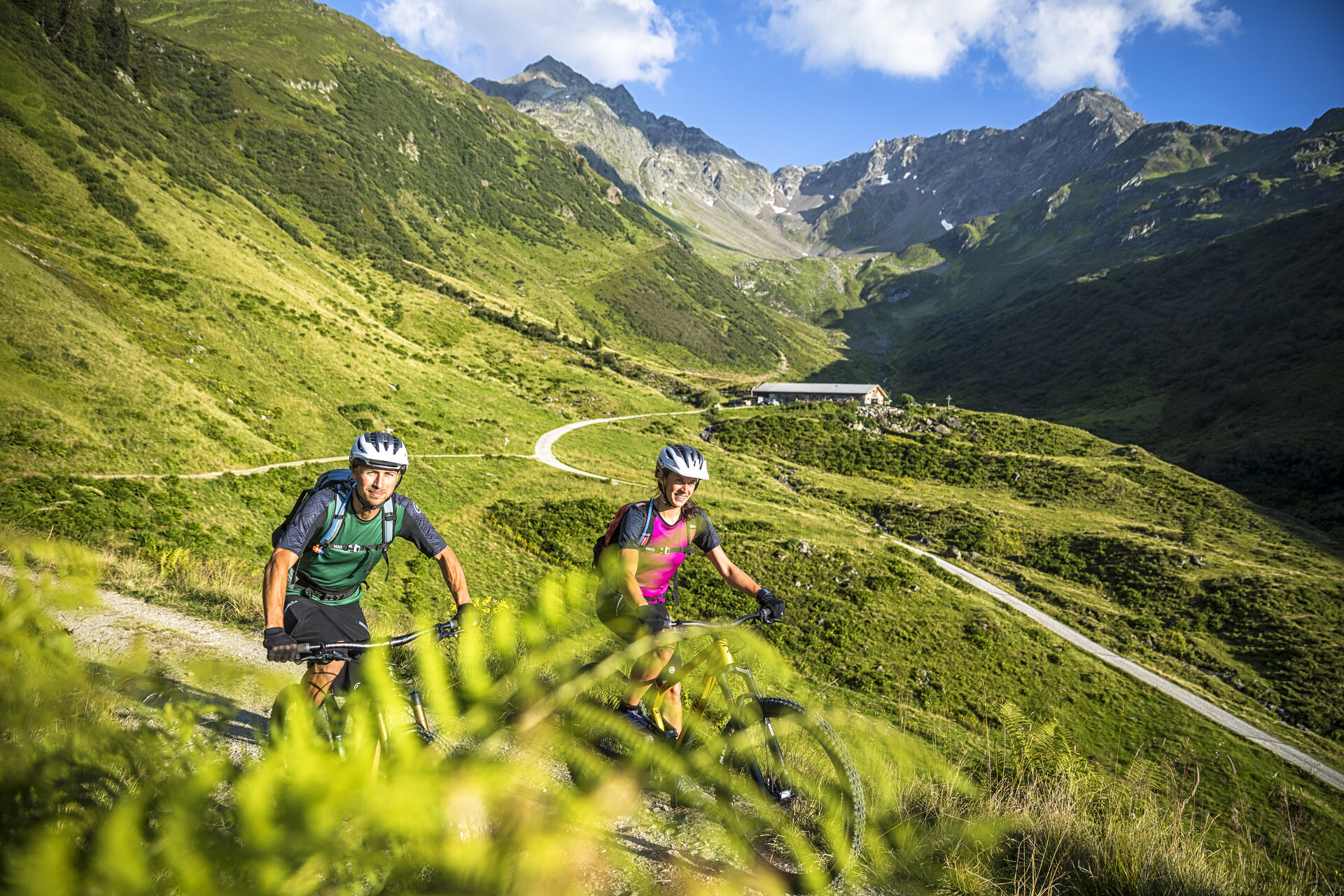
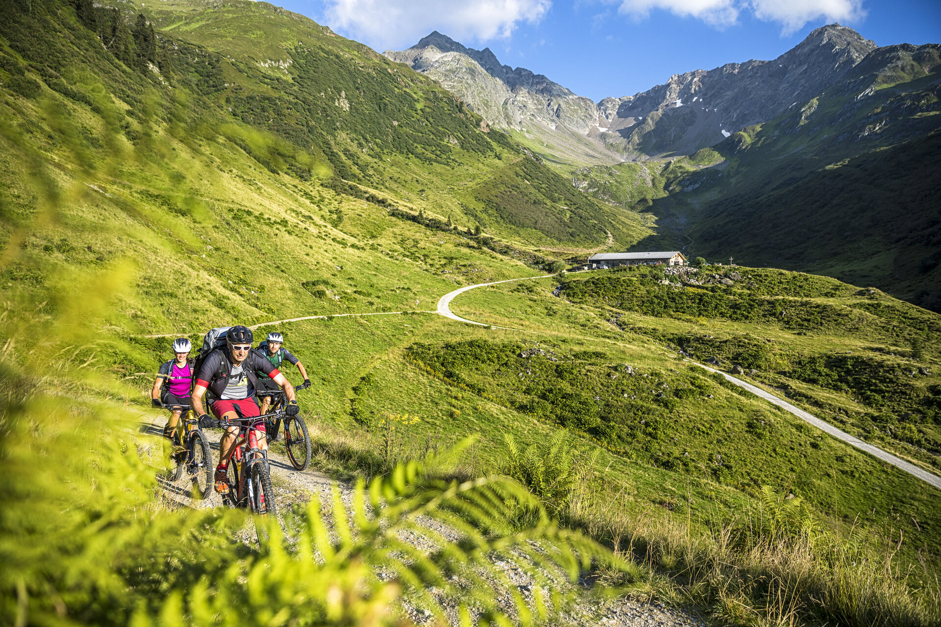
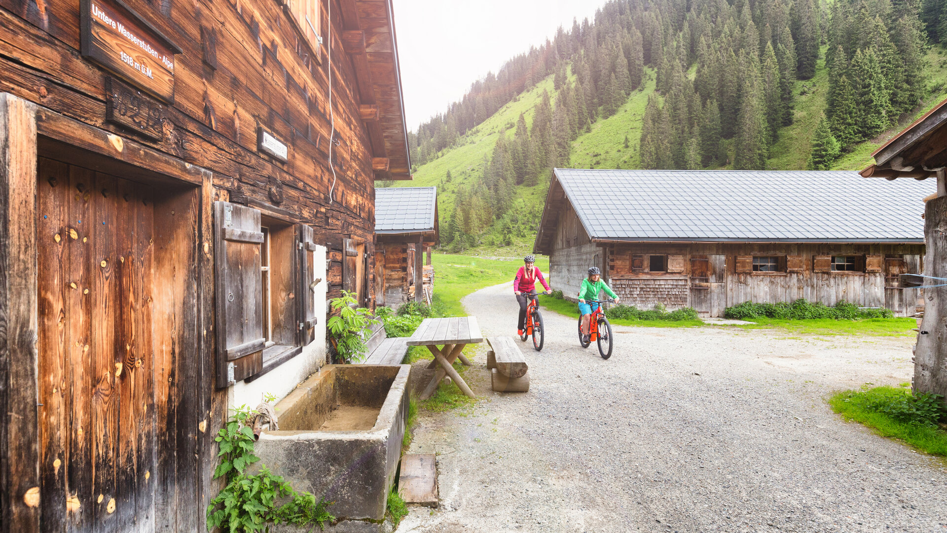
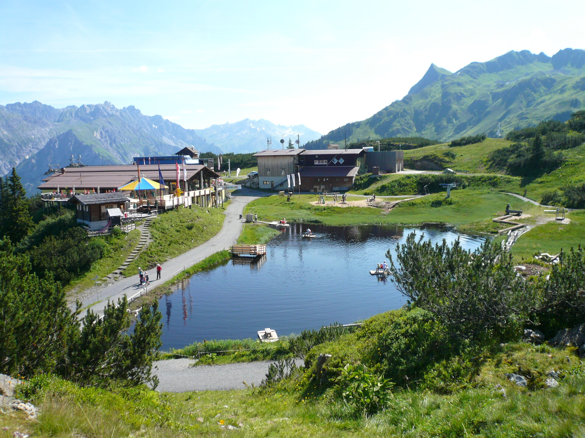
The route through the pristine Wasserstubental leads into the neighboring Klostertal and back again. After a steady, partly steep ascent through Silbertal and the Wasserstubental, you reach the Sonnenkopf. Here you are rewarded with a wonderful view of the surrounding mountain worlds before it goes back down into the Klostertal. Slightly downhill along the Alfenz stream, you recover from the altitude gained until you reach the turnoff to Montafon. The path leads back to the starting point at Aktivpark Montafon in Schruns-Tschagguns via the communities of Lorüns, St. Anton i. M., and Vandans.