Vermunt Lake ​-​ Silvretta​-​Bielerhöhe

Moderate
Einkehrmöglichkeit
Hiking · Refreshment stops
02:00 h duration
5,60 km Length in km
2035 m Highest point
1753 m Lowest point
283 m gain Ascent
1 m gain Descent
Stamina
Skill
Difficulty
Adventure
Scenery

Tour description

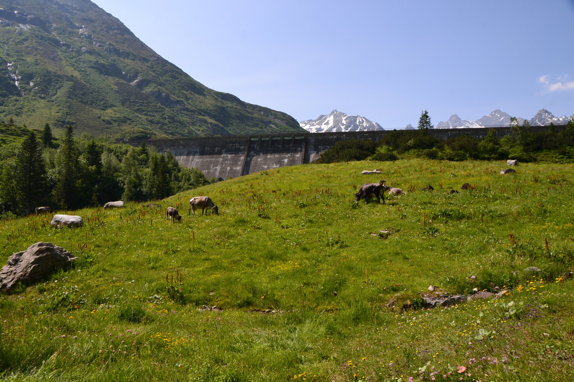
A scenic hike from Lake Vermunt through the high-alpine landscape of the Silvretta up to the Silvretta-Bielerhöhe at over 2,000 meters.

From Lake Vermunt, you’ll first hike toward Kromertal and the Saarbrücker Hut, then—after a short stretch of trail—follow a wide gravel path to the turnoff toward Silvretta-Bielerhöhe. After the steepest climb, a narrower hiking trail leads you through the impressive mountain landscape to the Madlenerhaus and from there on to Silvrettasee on the Silvretta-Bielerhöhe.
Sicherheitstipps für Wandern in Vorarlberg

EN NOTRUF:

EN 140 - Alpine Notfälle österreichweit 

EN 144 - Alpine Notfälle Vorarlberg 

EN 112 - Euro-Notruf (funktioniert mit jedem Handy/Netz) 

Properties
Route type Hiking, Refreshment stops
Difficulty Moderate
Start Vermuntsee
Finish Bushaltestelle Silvrettasee
Elevation profile
Best months
Jan
Feb
Mar
Apr
May
Jun
Jul
Aug
Sep
Oct
Nov
Dec