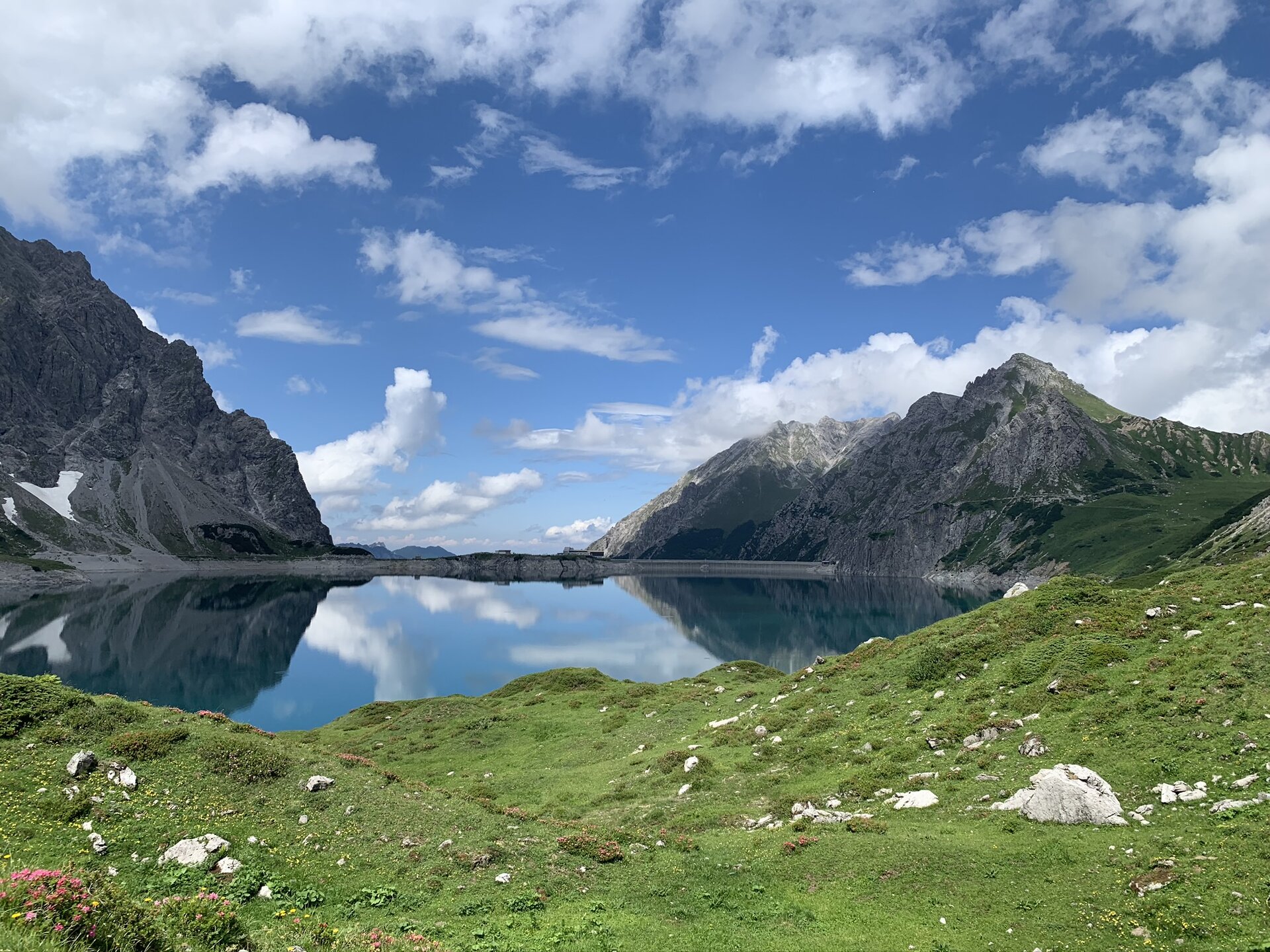
Montafon Rätikon route


Tour description
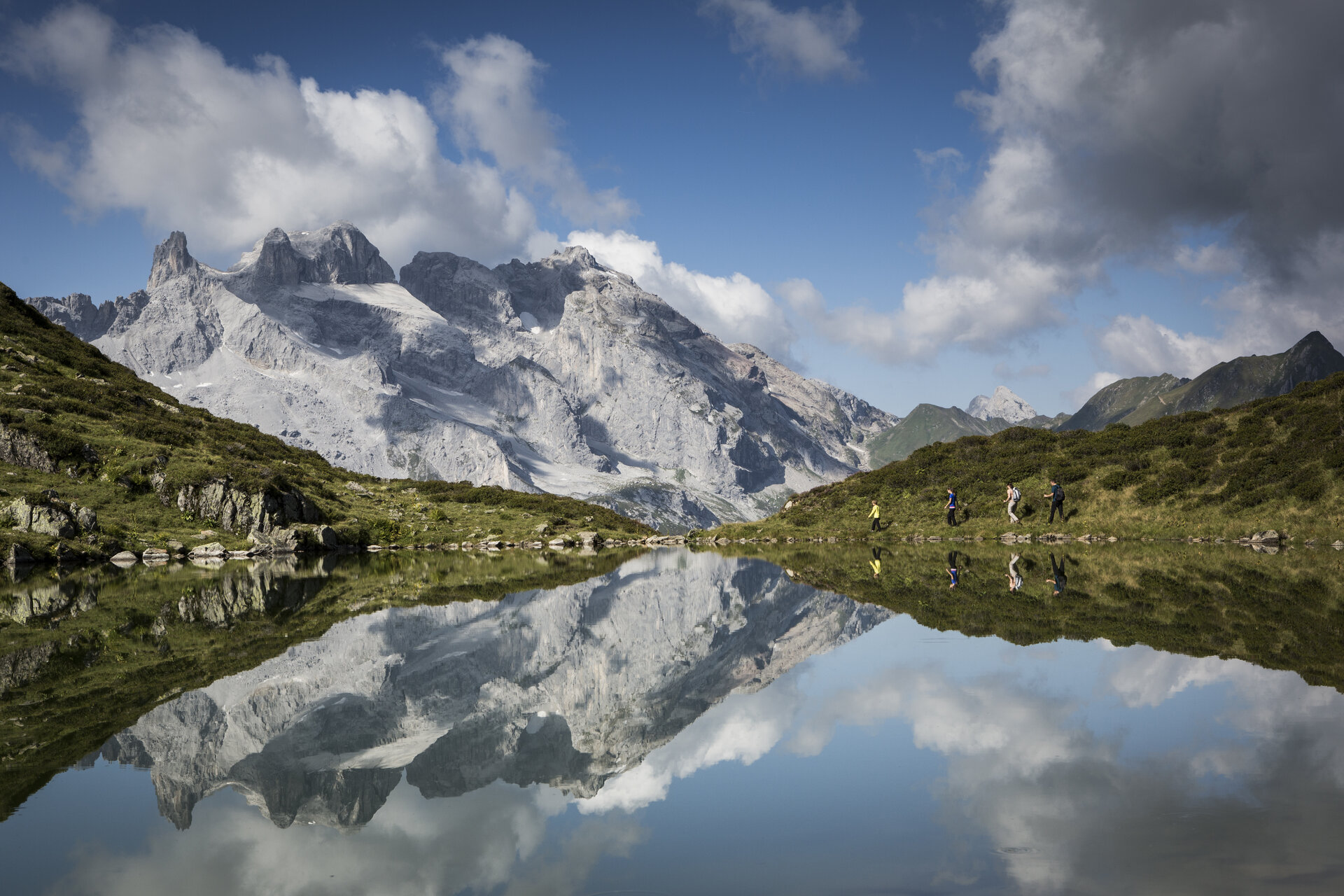
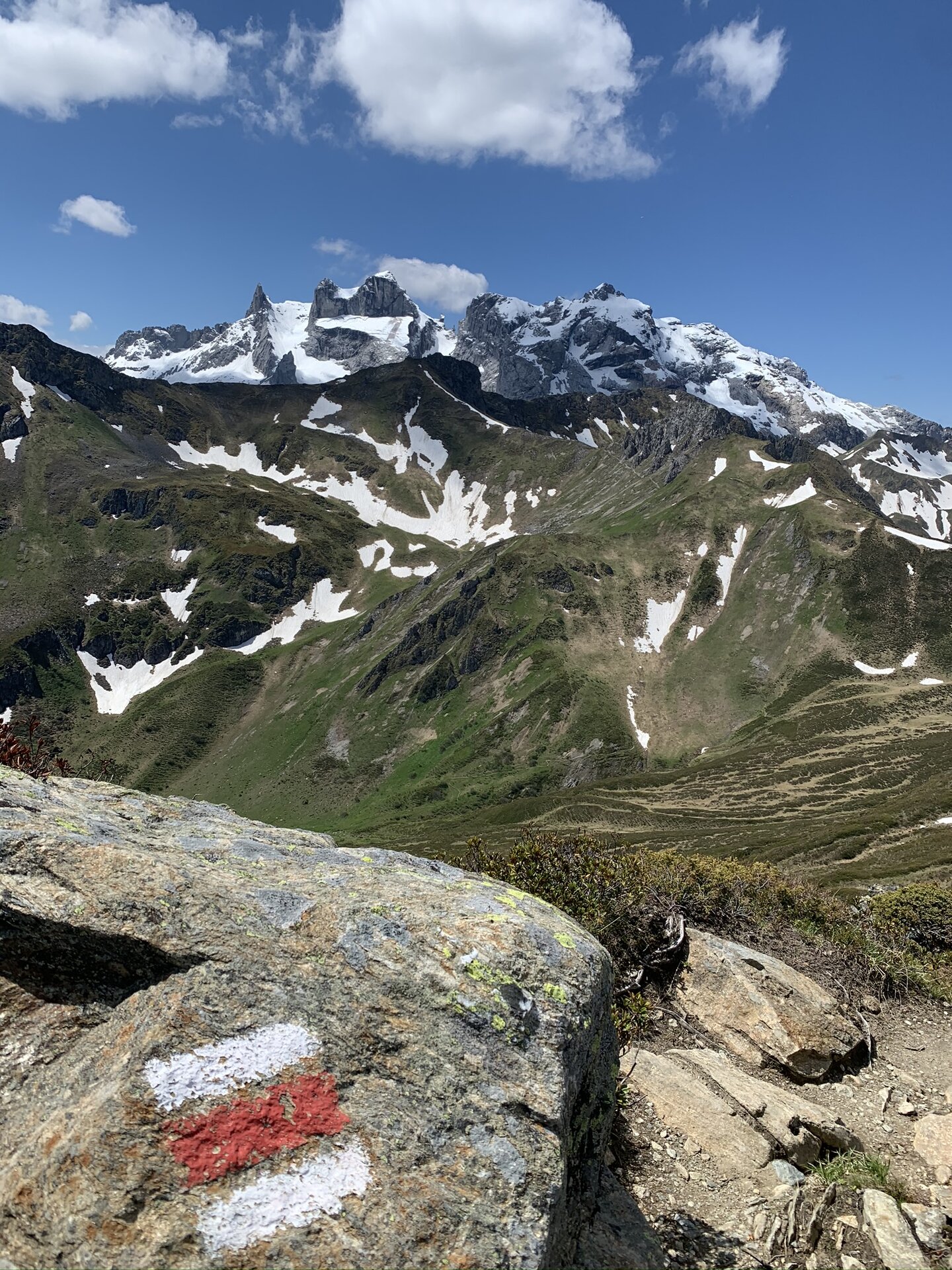
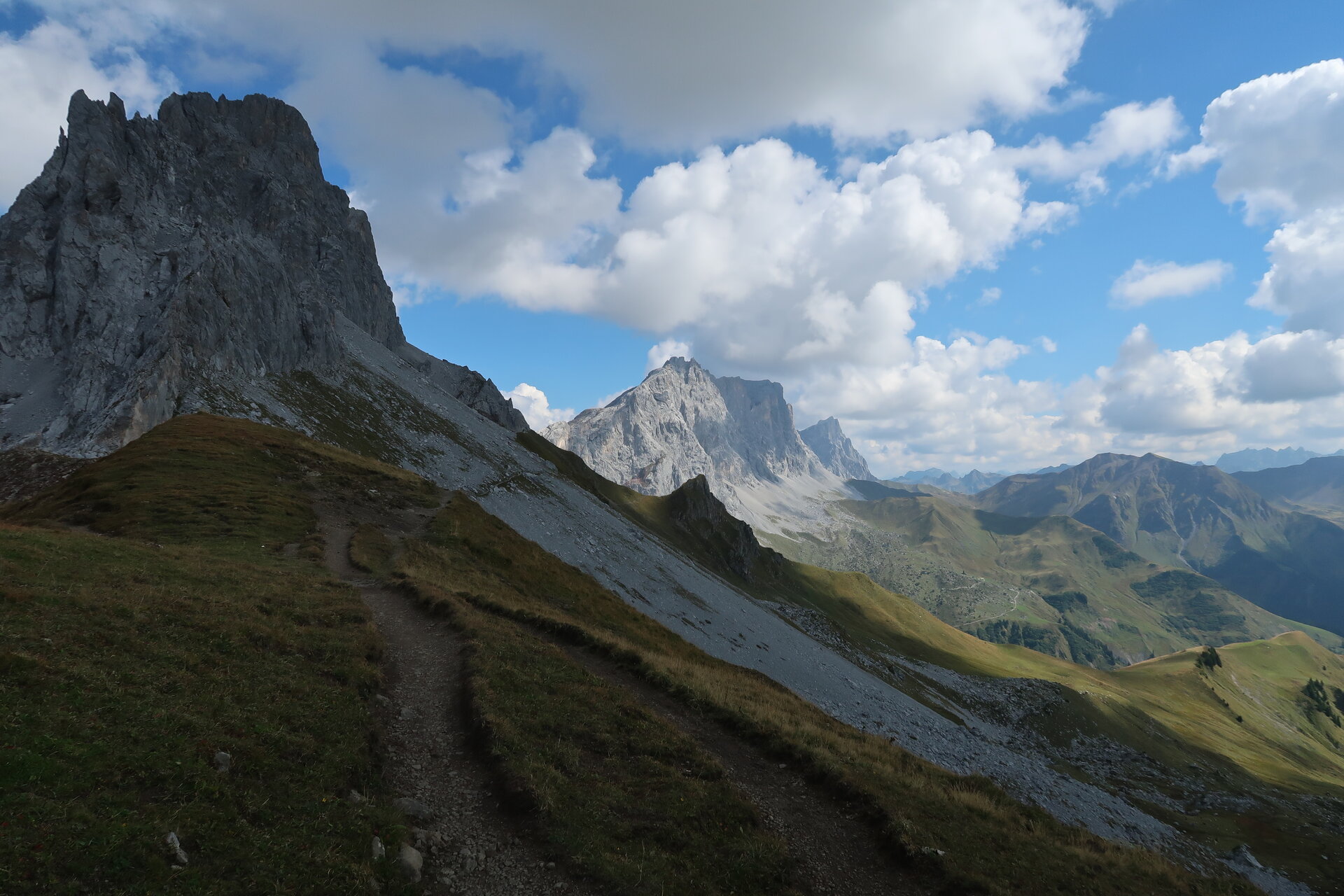
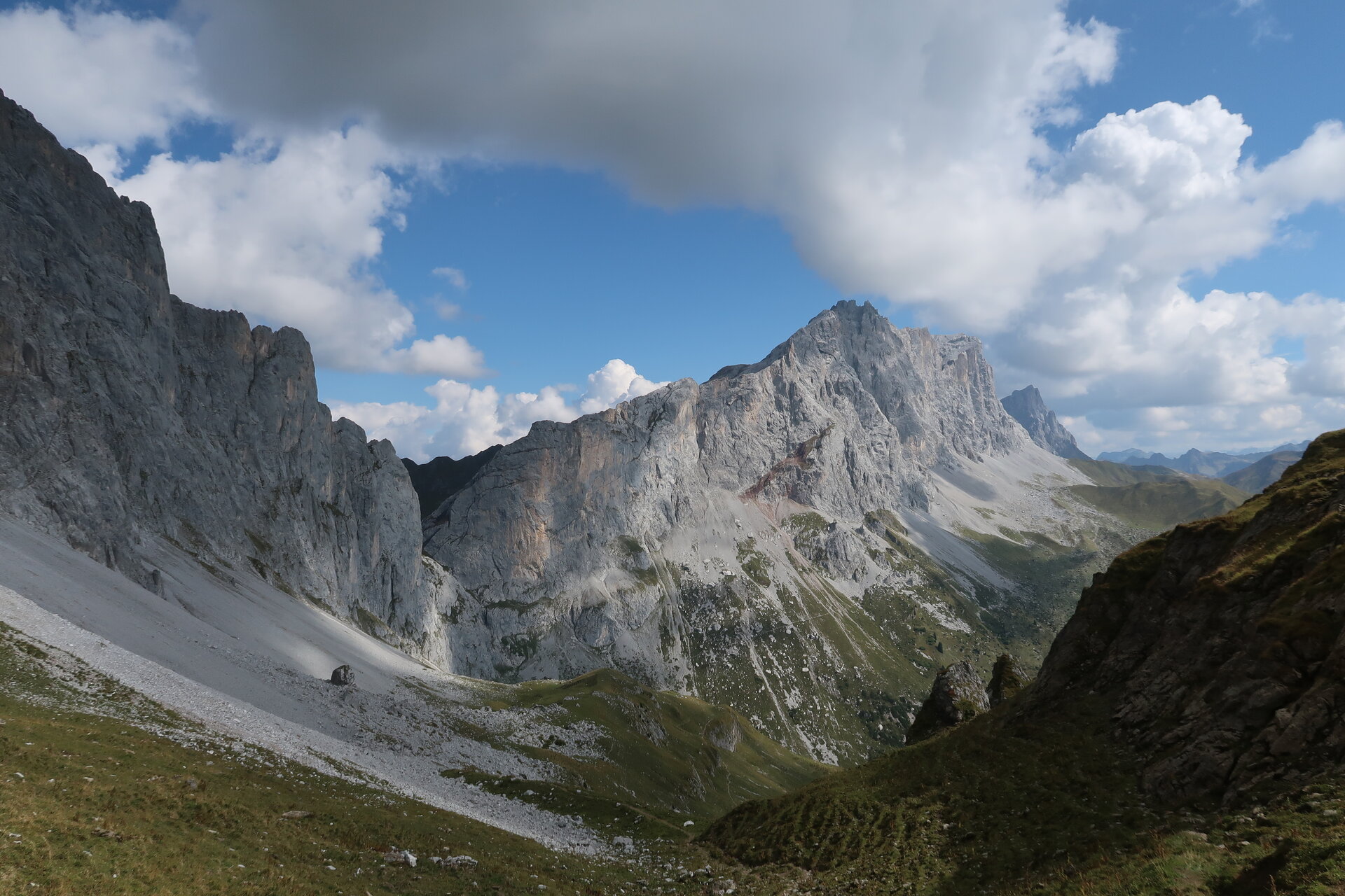
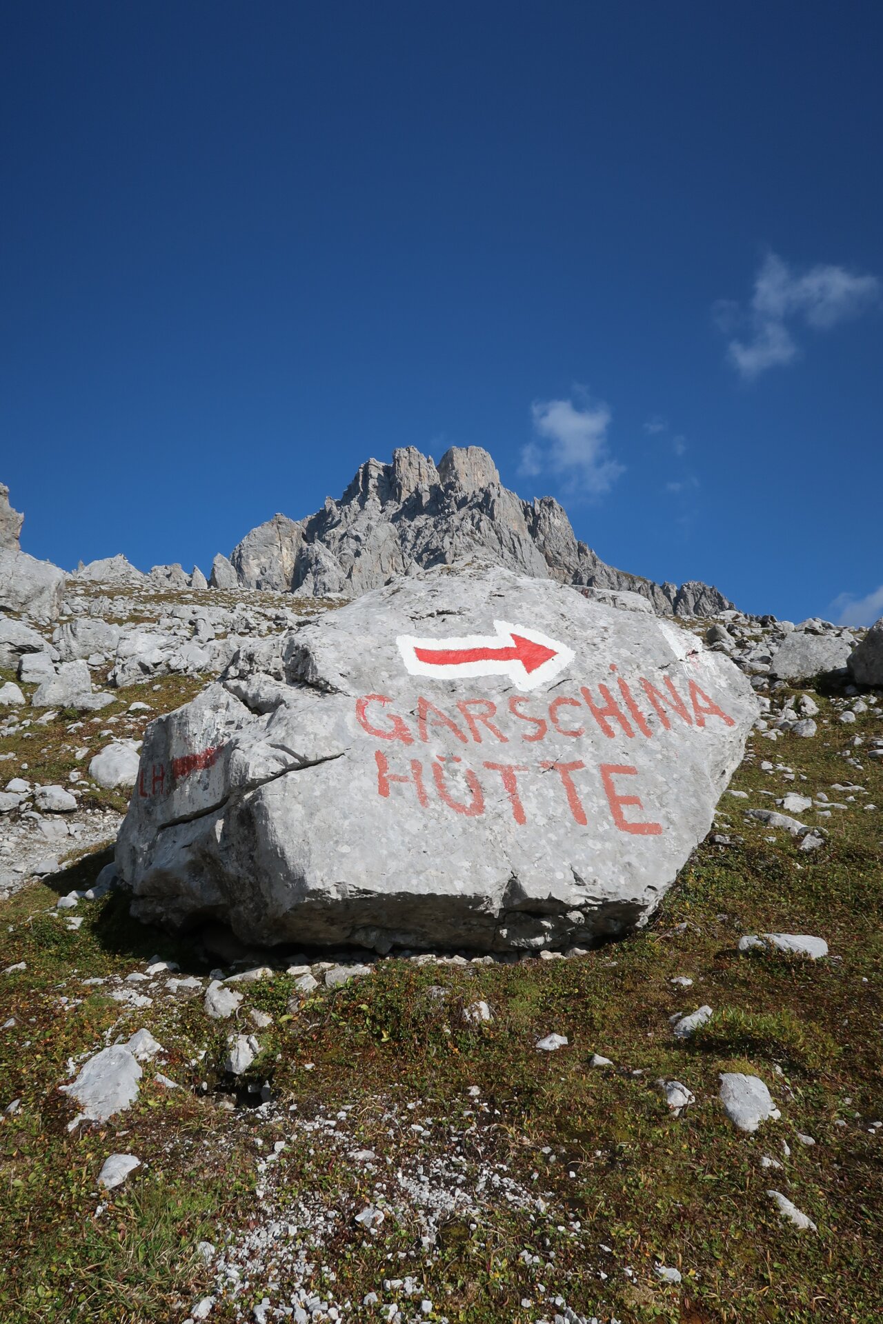
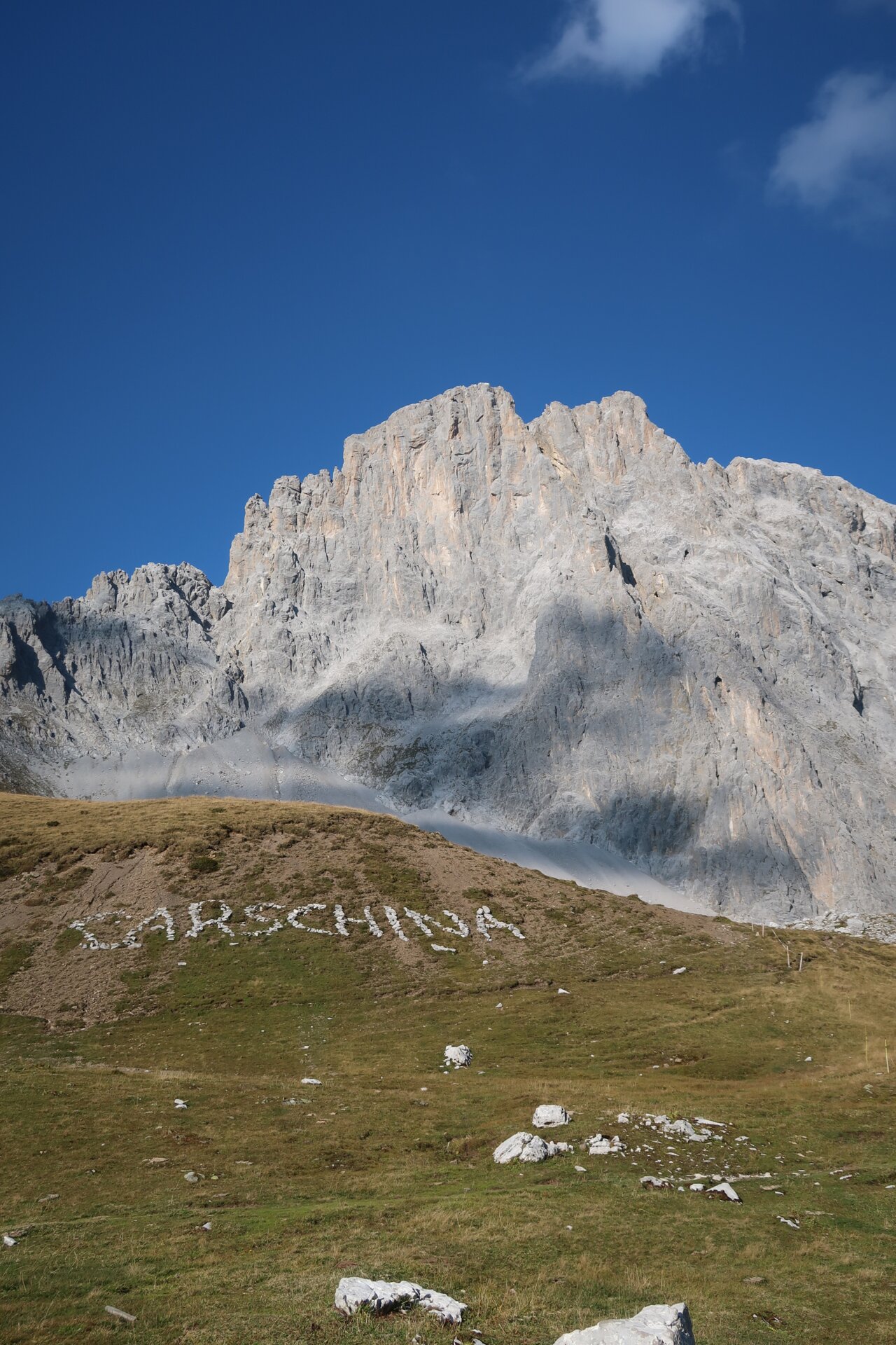
The Montafon Rätikon Loop takes you through the diverse mountain landscape of the Rätikon in four challenging stages—from the Drei Türme and the Zimba, past Lünersee, to the Sulzfluh, and back to Latschau.
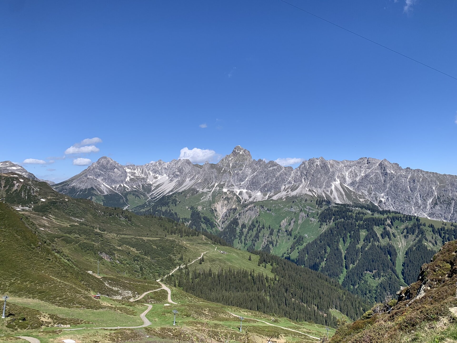
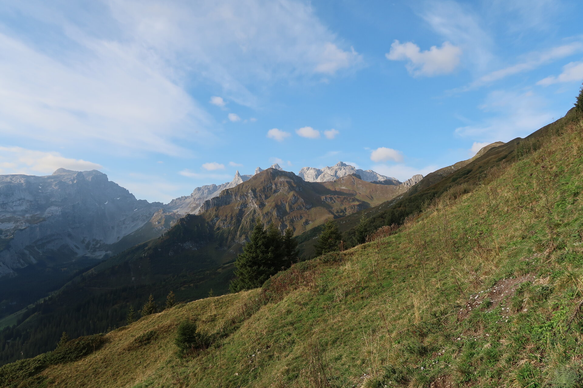
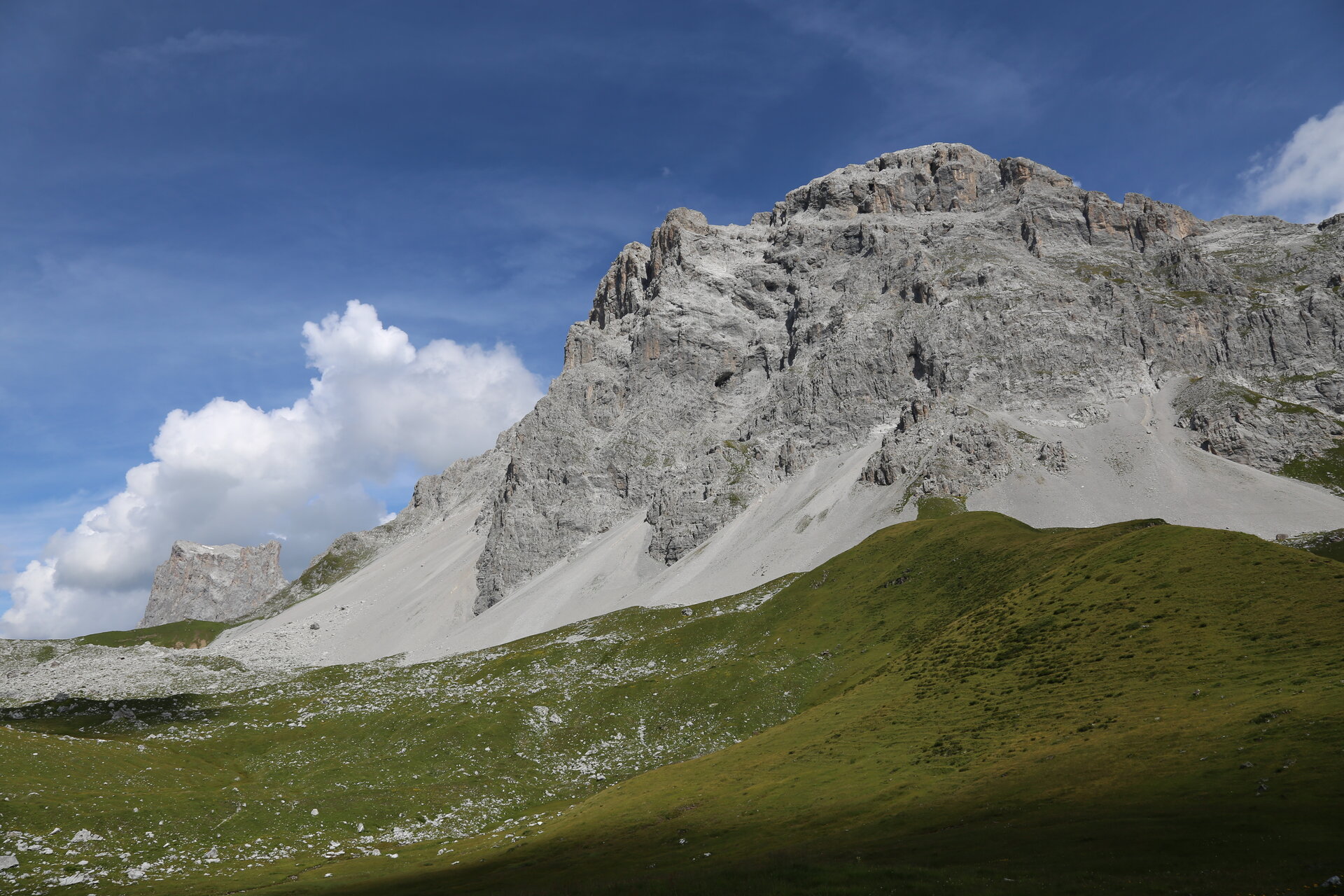
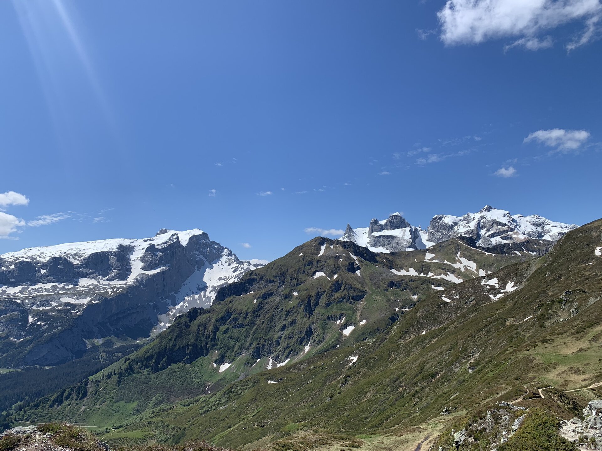
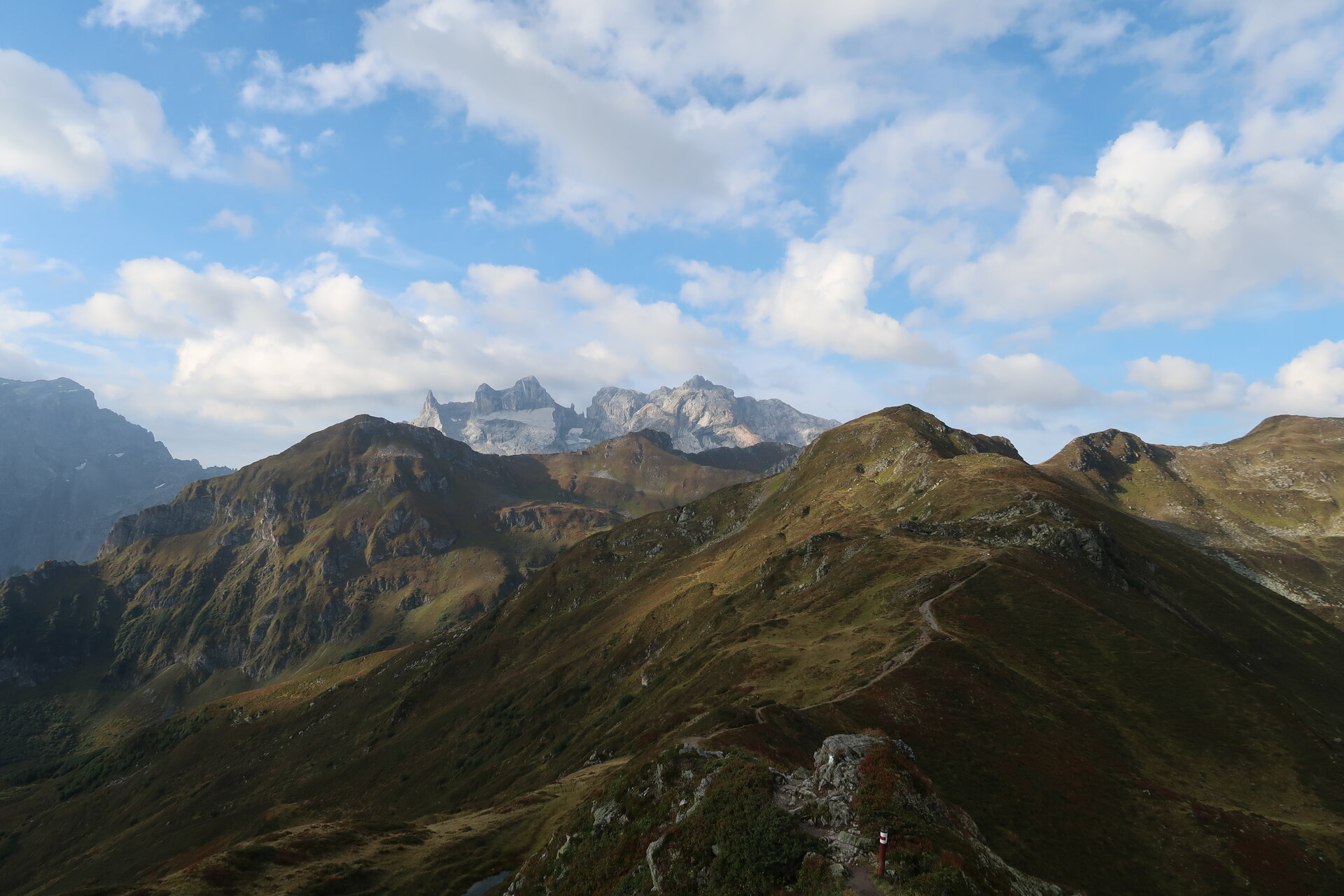
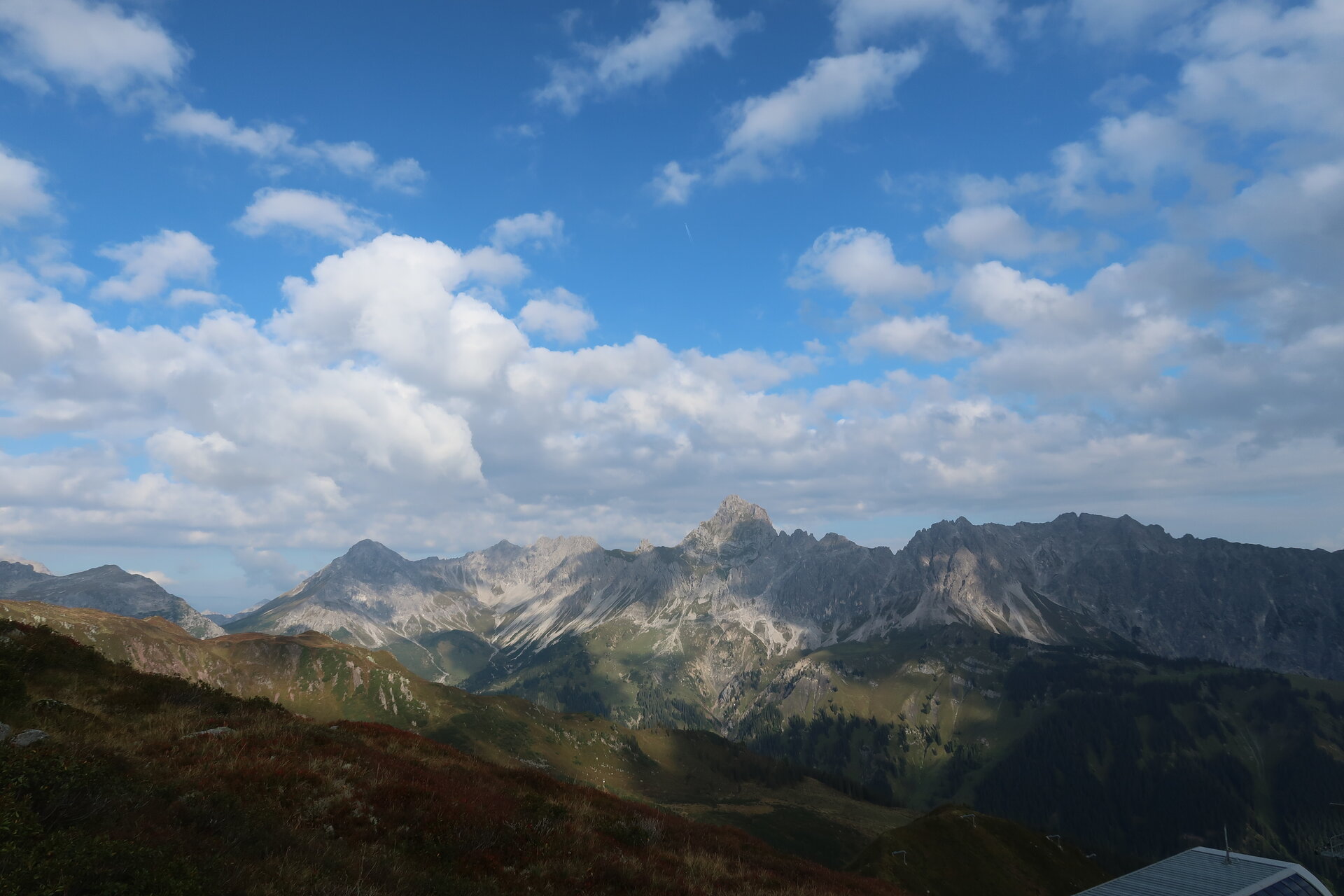
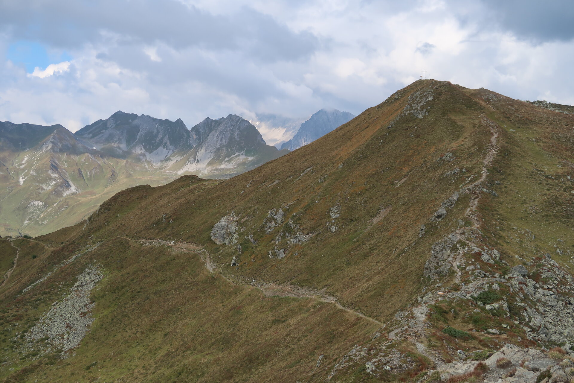
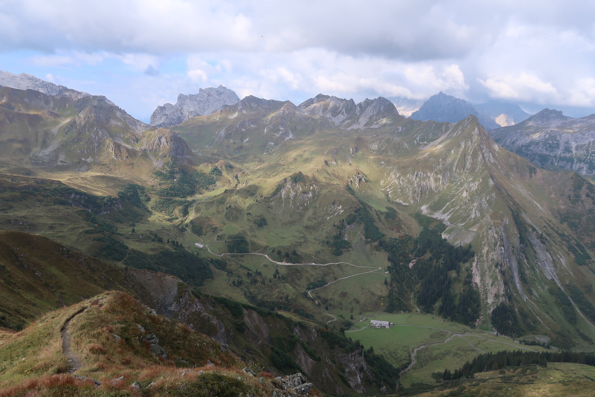
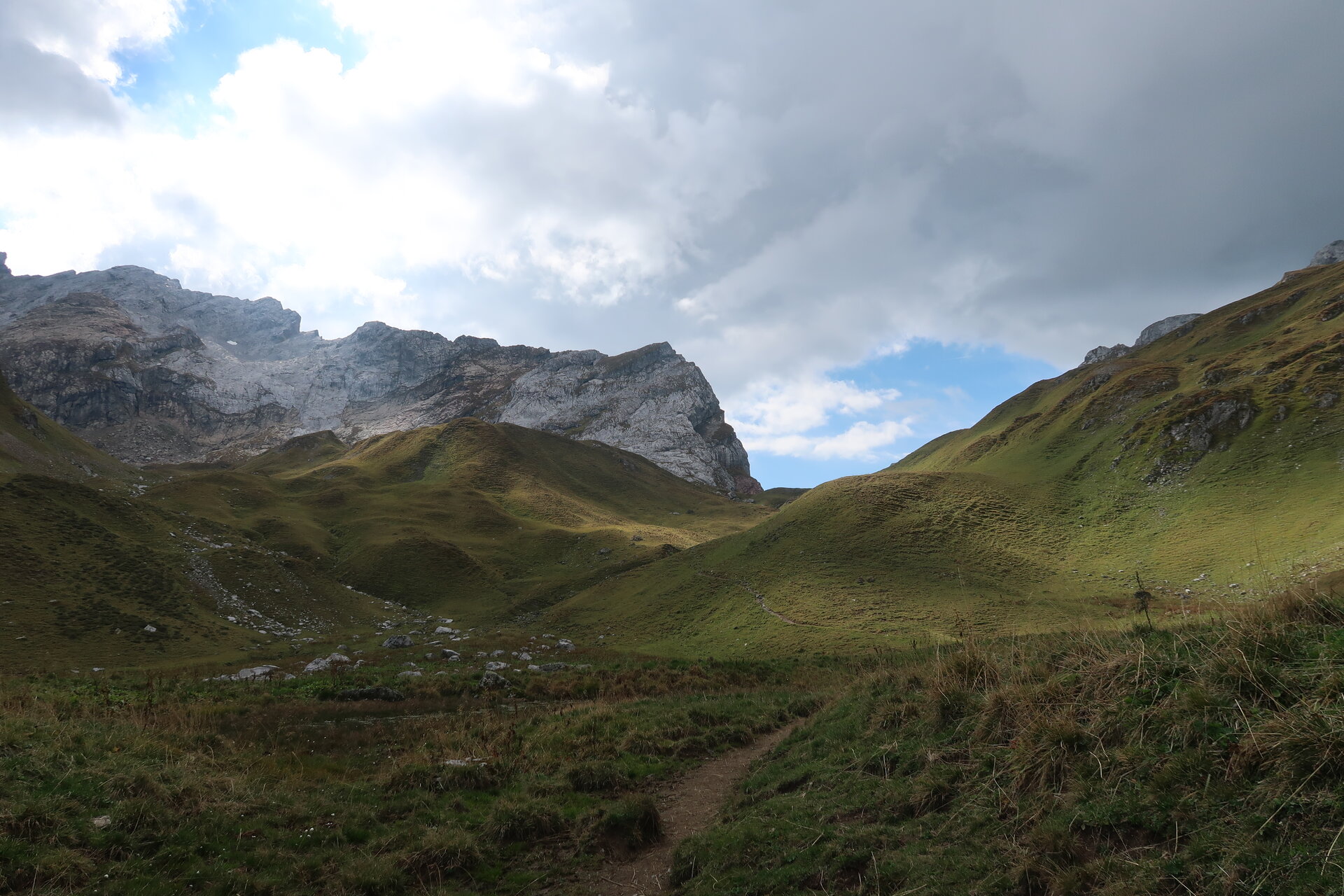
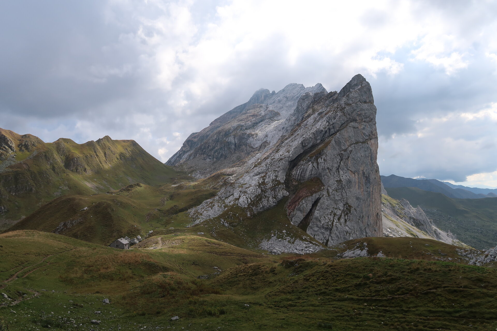
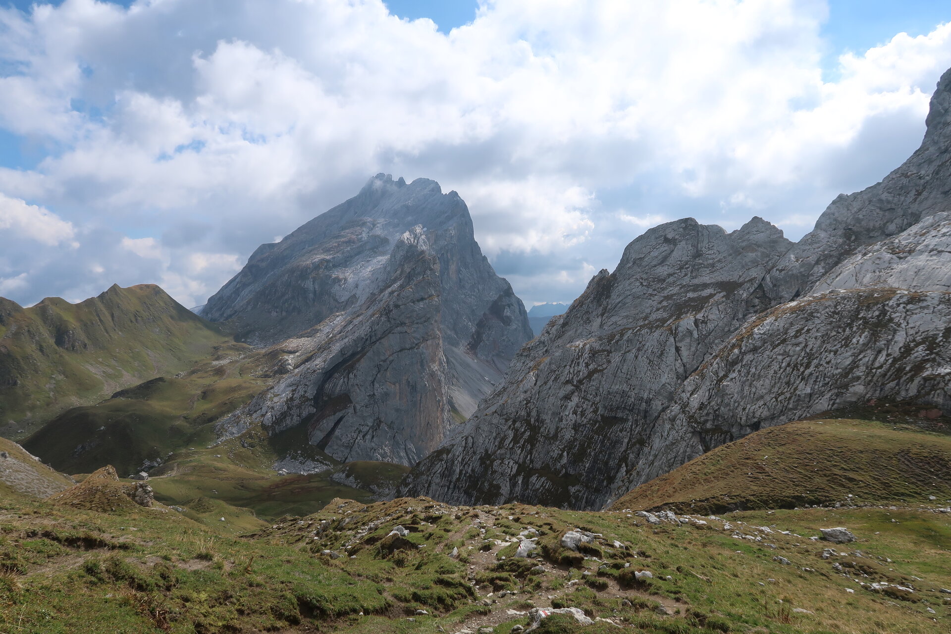
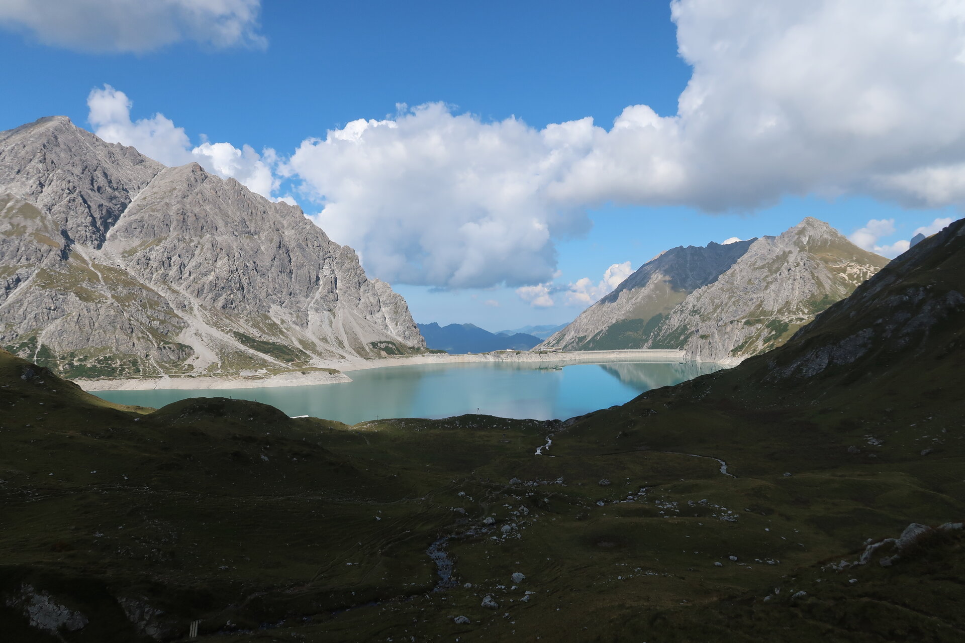
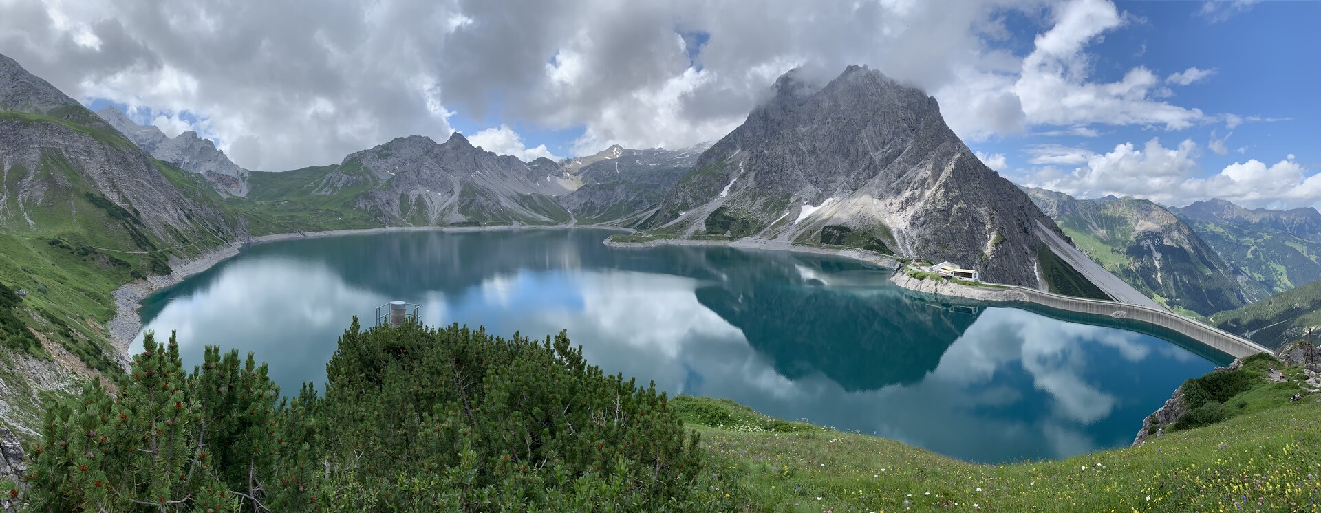
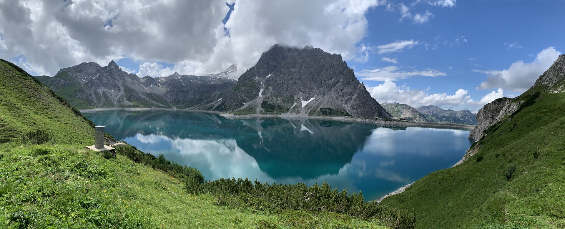
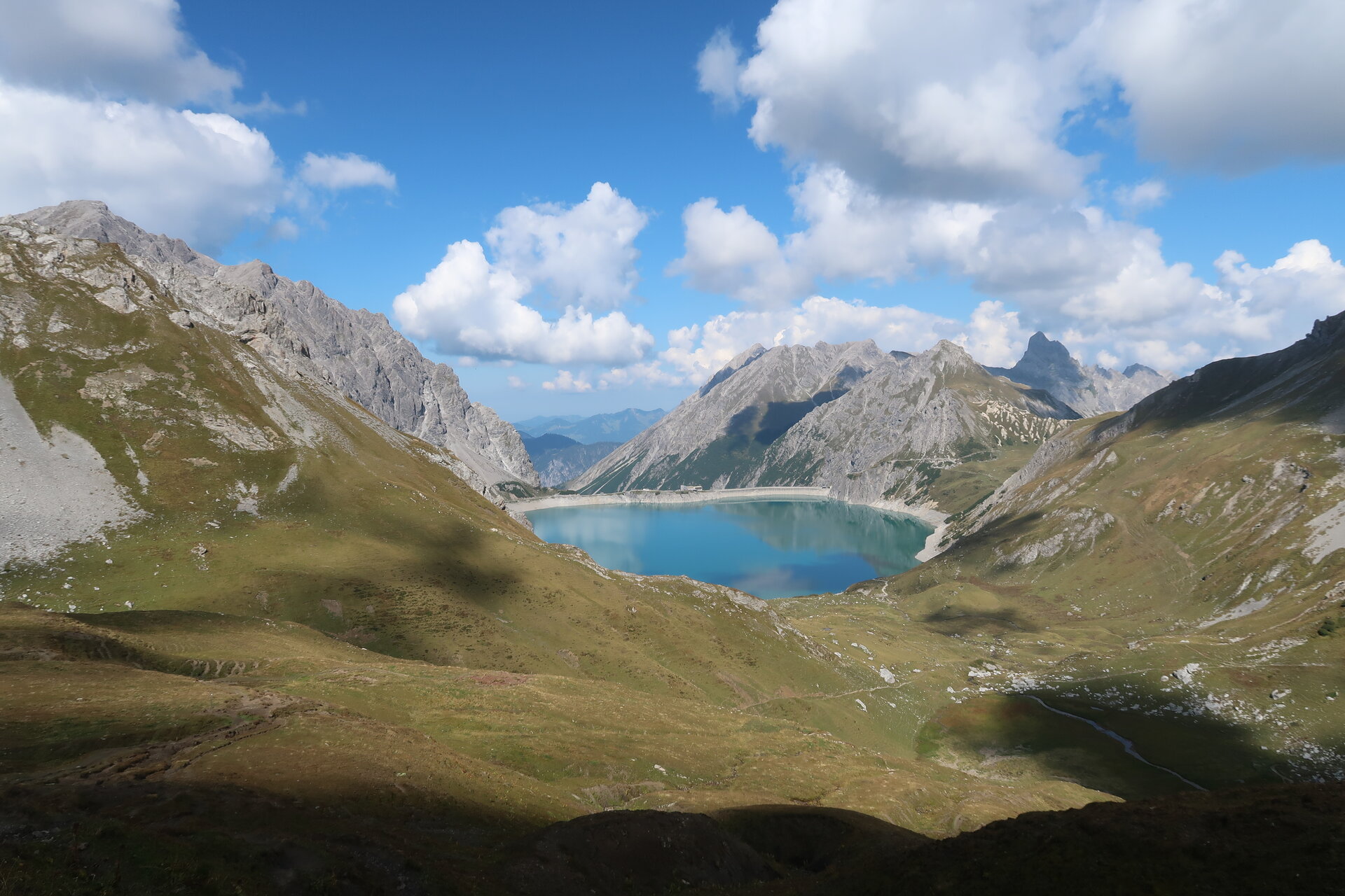
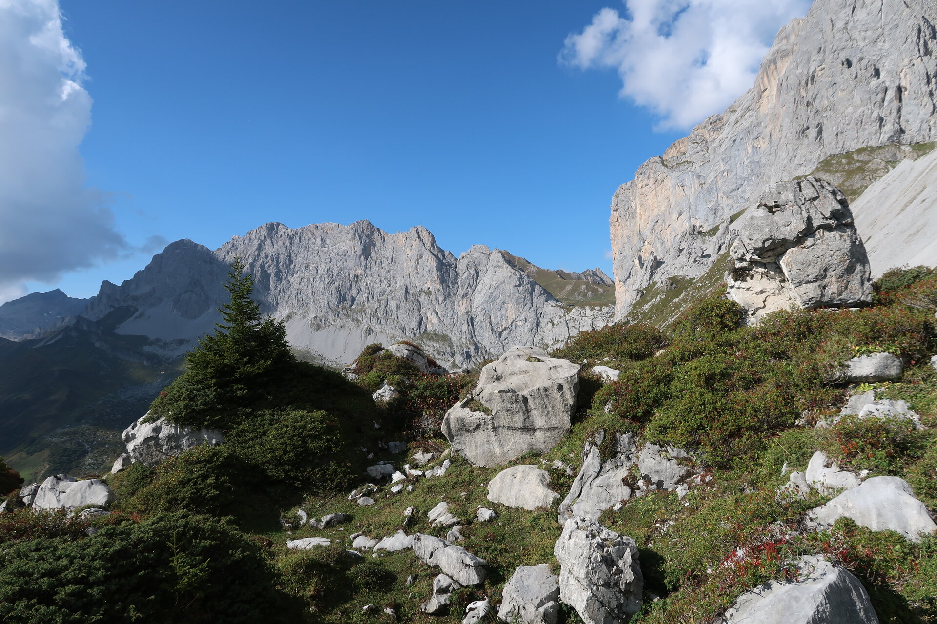
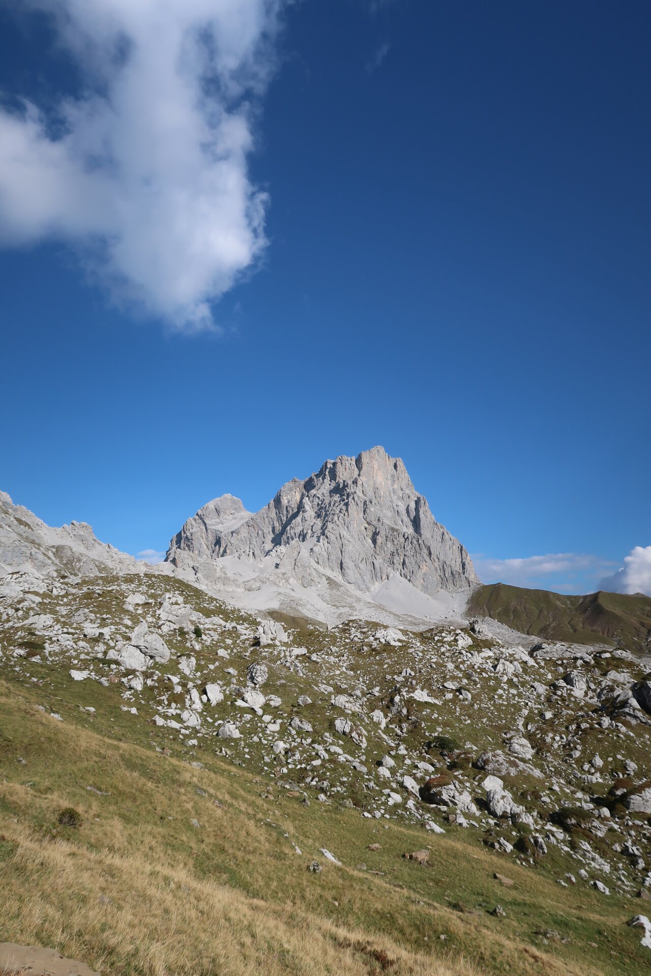
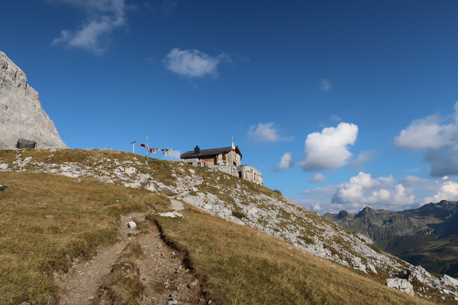
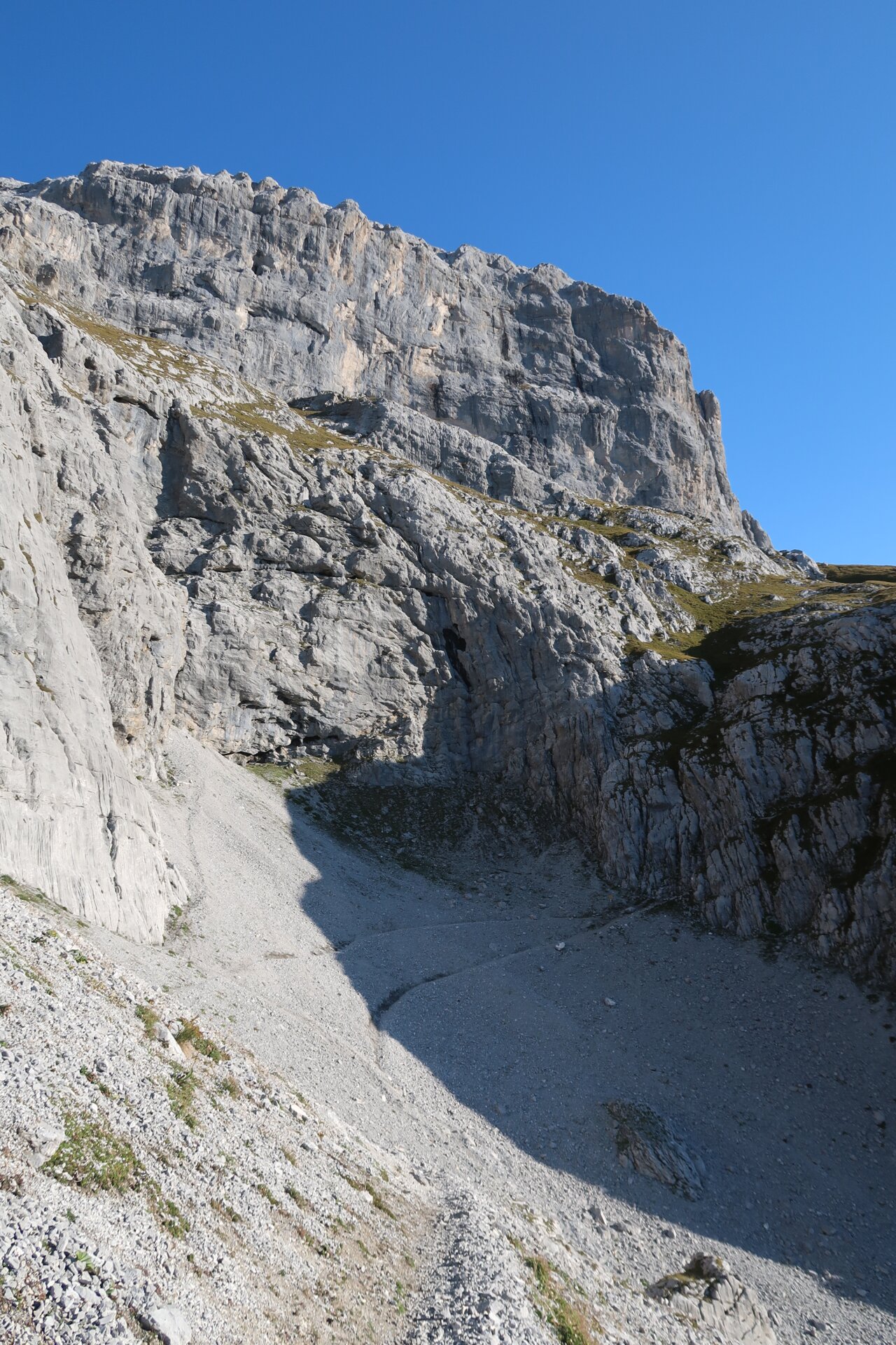
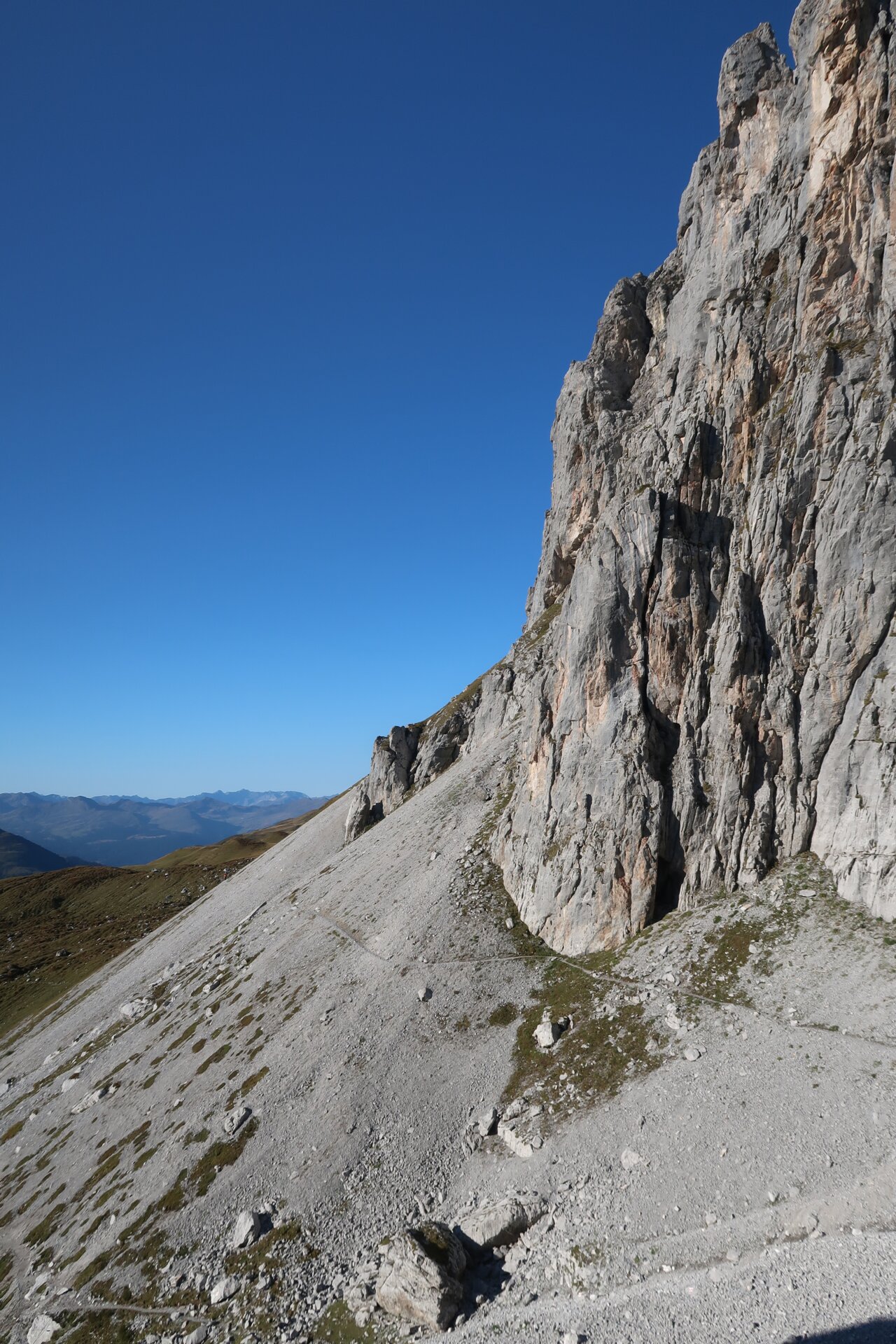
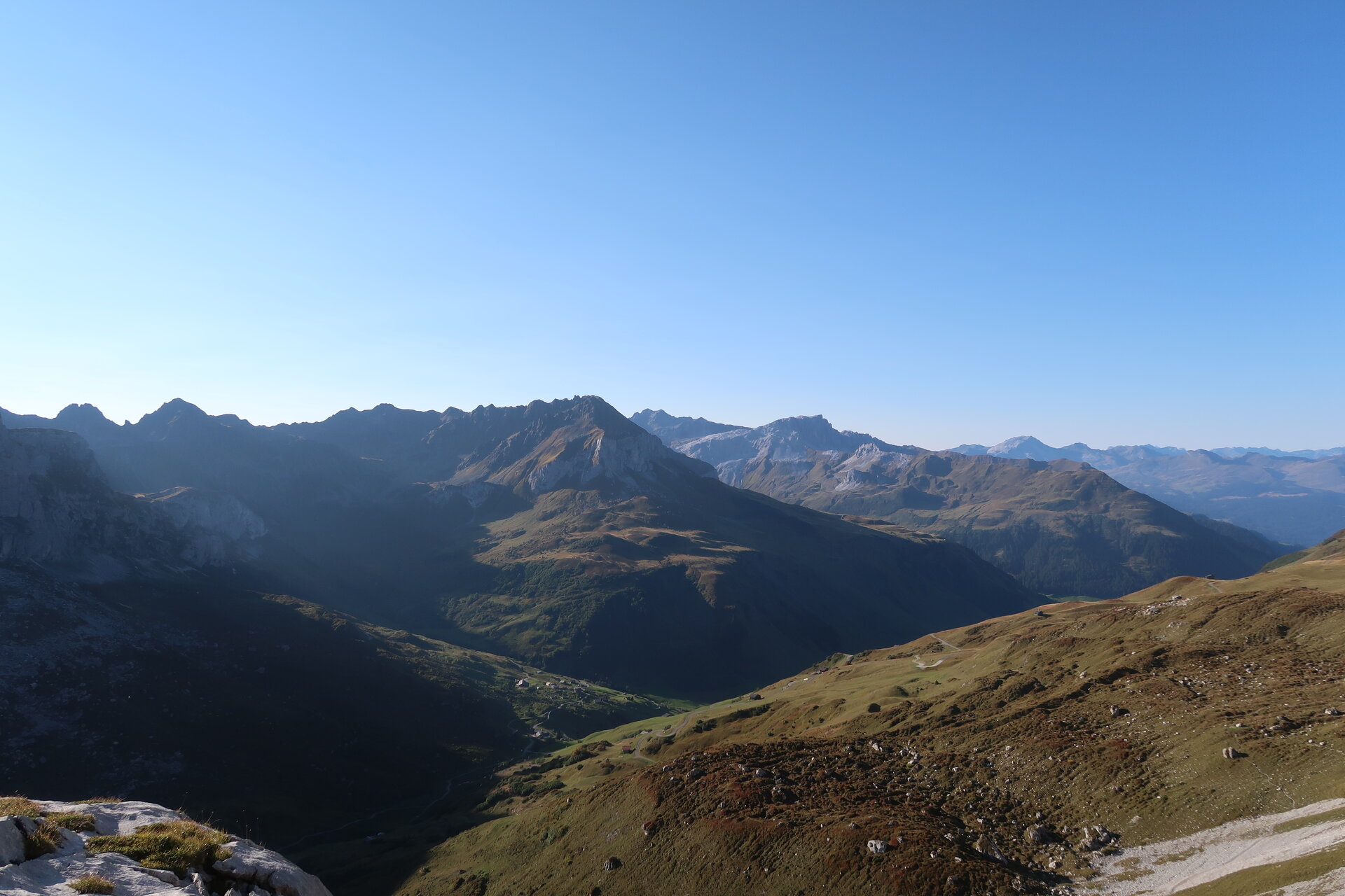
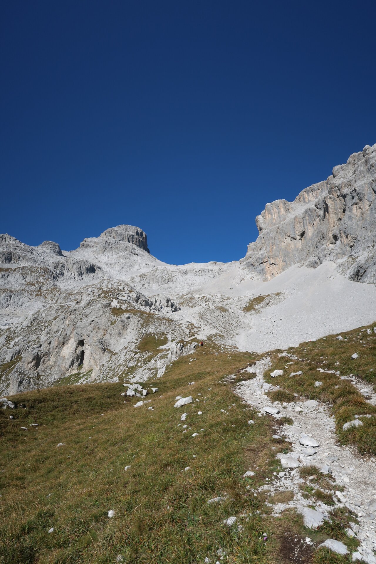
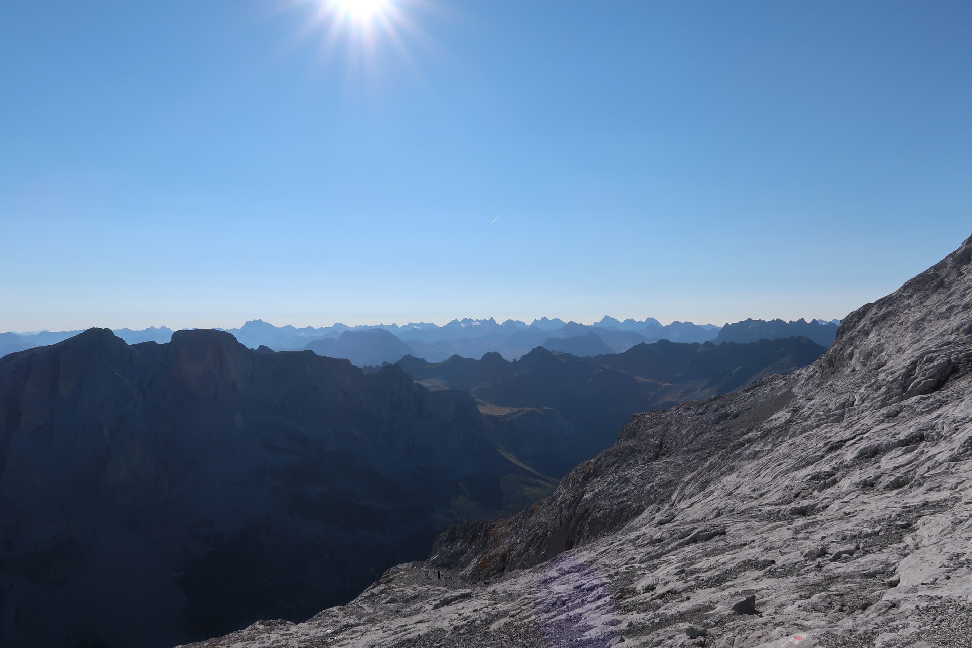
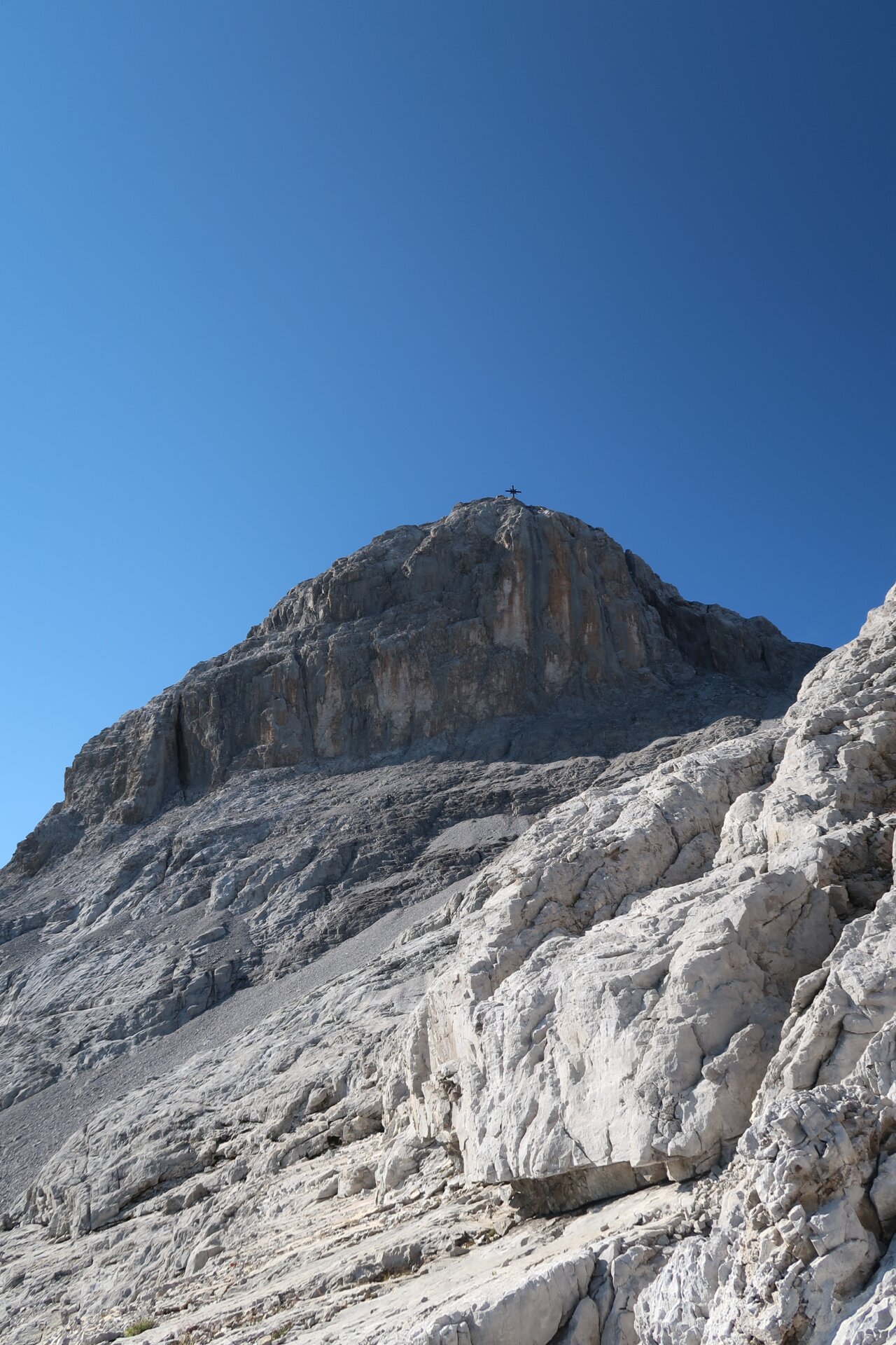
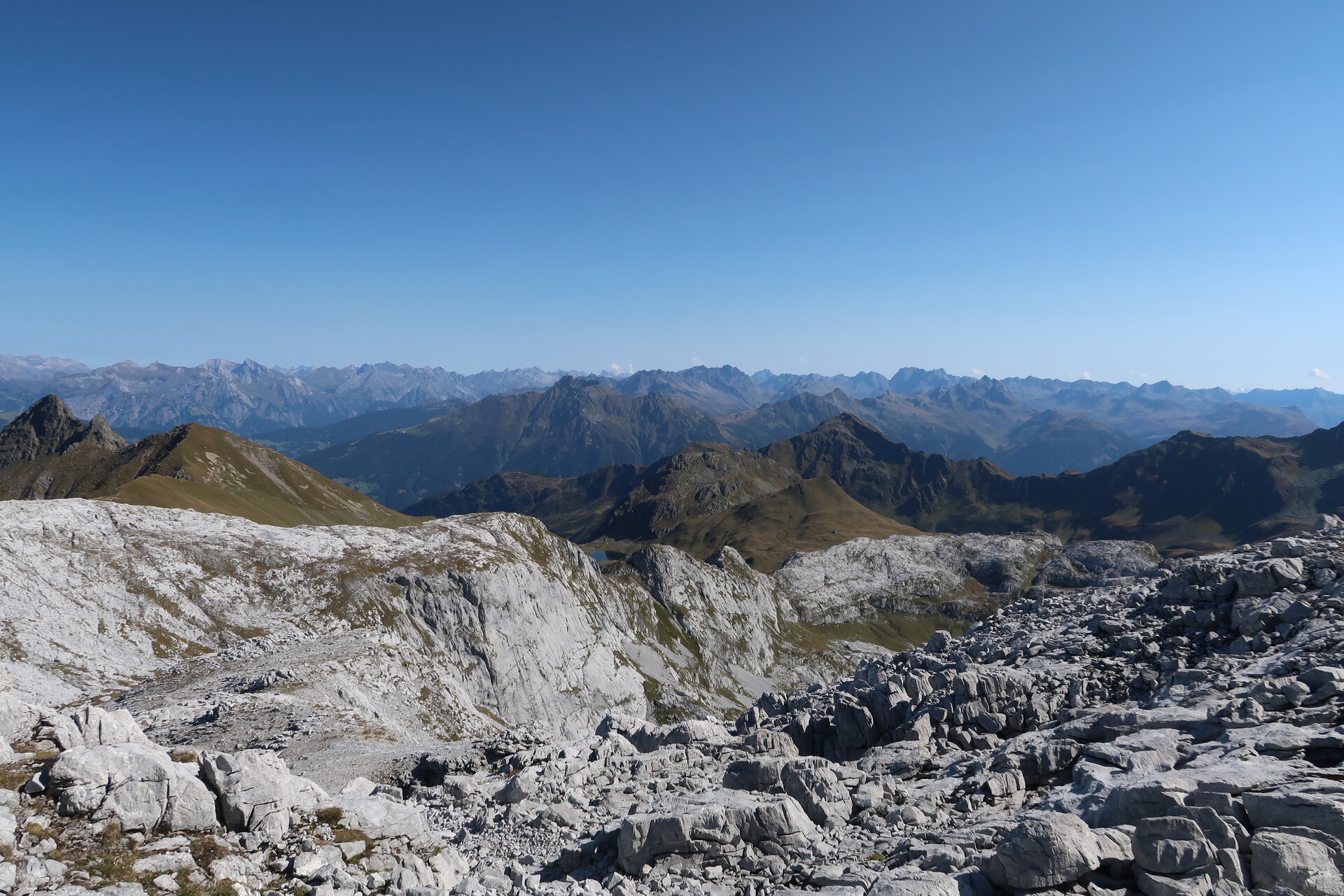
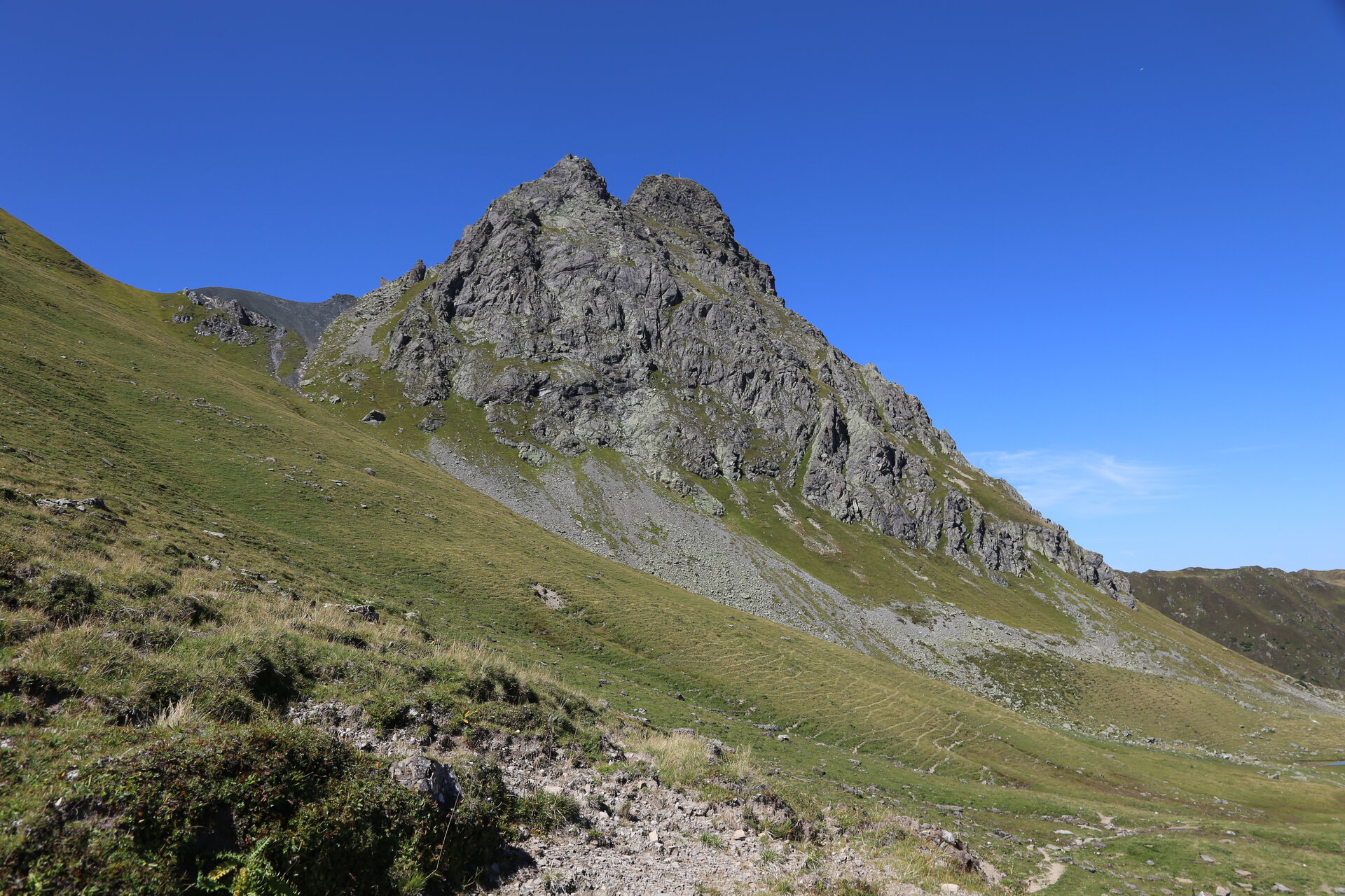
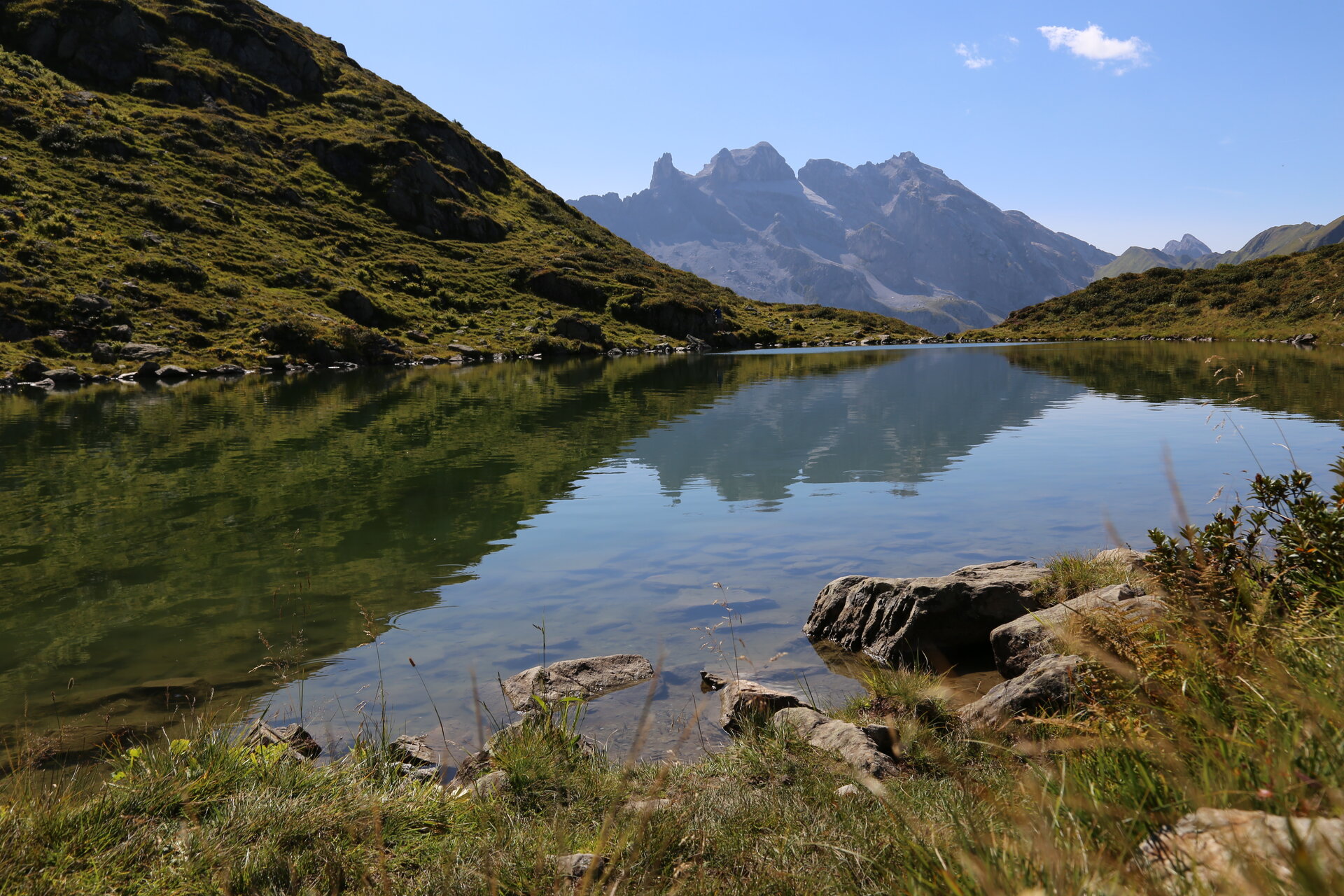
The Hüttenrunde trail showcases the many different facets of the Rätikon: blooming alpine meadows give way to striking limestone peaks, steep rock faces, and high-alpine landscapes. The route takes you past some of the Montafon’s most famous scenic and natural highlights, including the Drei Türme, the Zimba, the Sulzfluh, and Lake Lünersee.
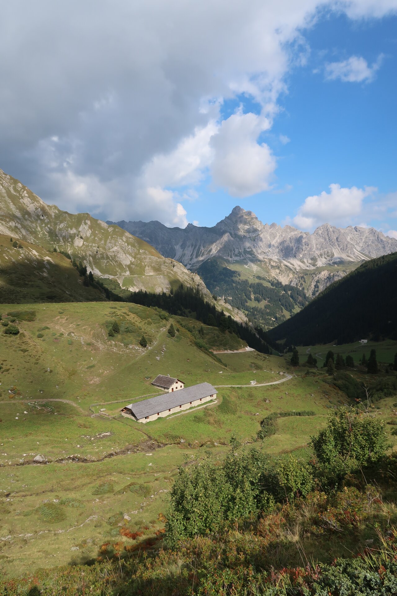
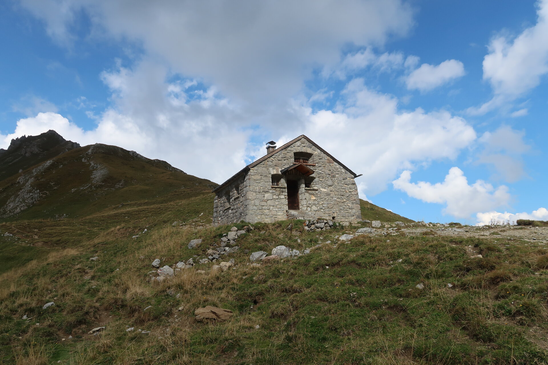
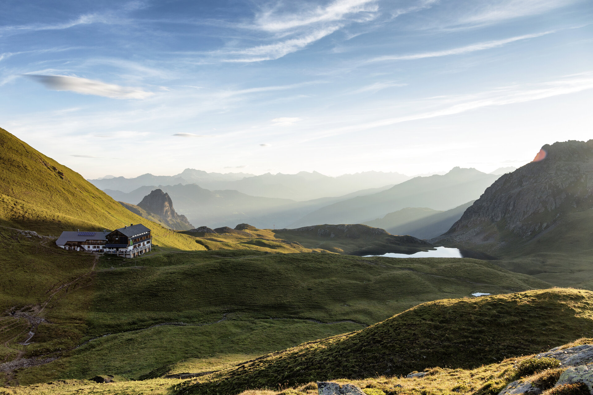
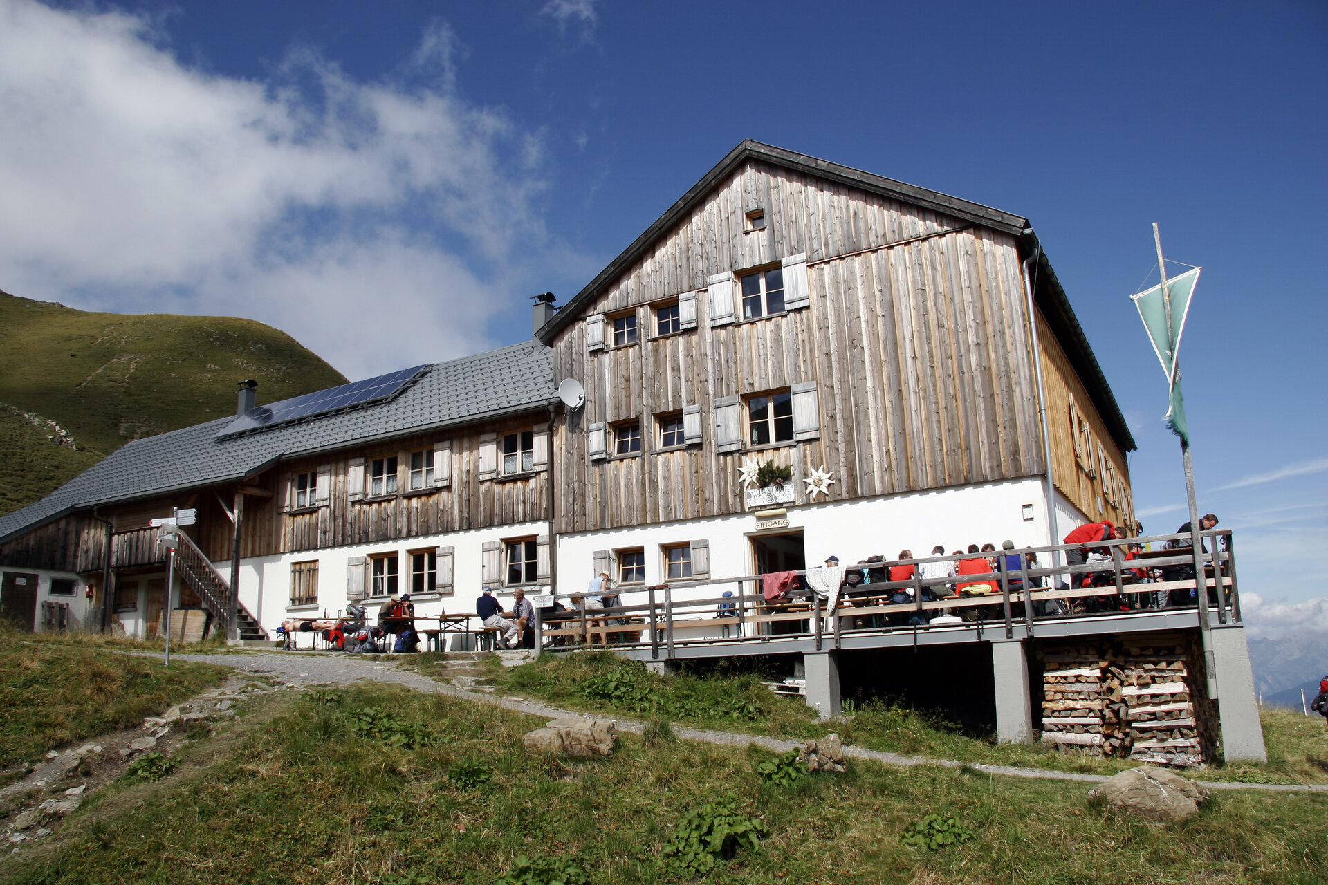
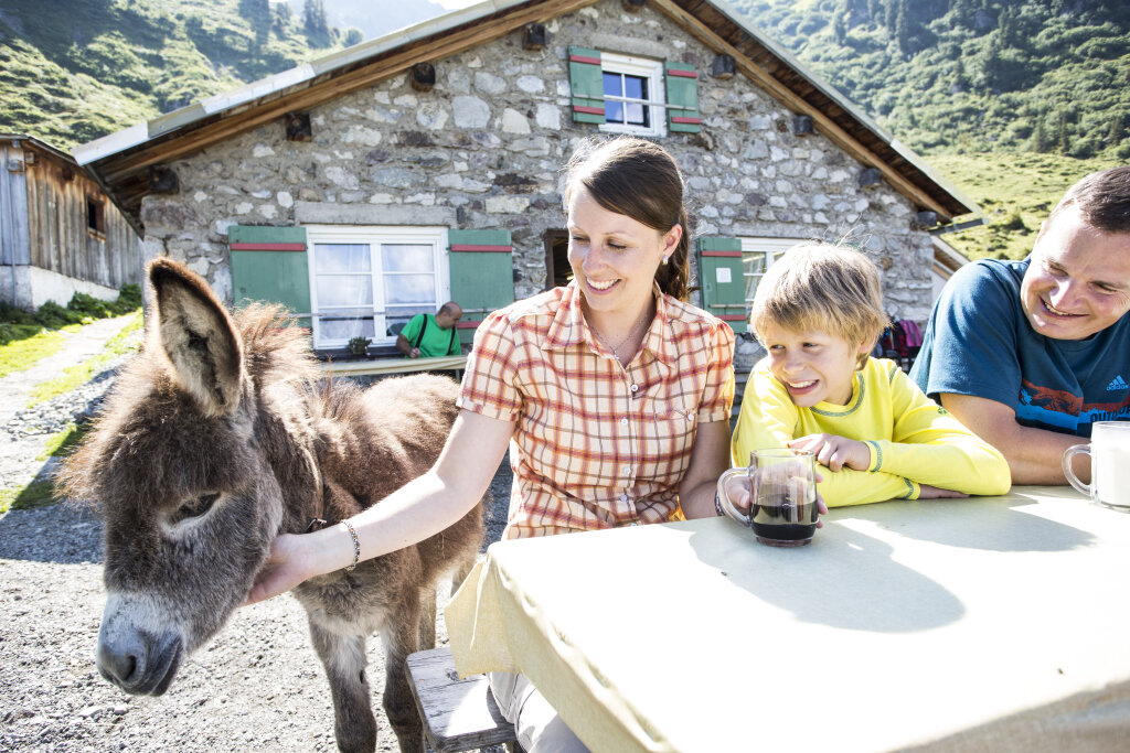
The tour also crosses the border into Switzerland and passes through the Prättigau. In addition to impressive mountain scenery, the various huts offer opportunities to enjoy regional cuisine and alpine hospitality.
Sicherheitstipps für Wandern in Vorarlberg
EN NOTRUF:
EN 140 - Alpine Notfälle österreichweit
EN 144 - Alpine Notfälle Vorarlberg
EN 112 - Euro-Notruf (funktioniert mit jedem Handy/Netz)