Montafon Rätikon route


Tour description
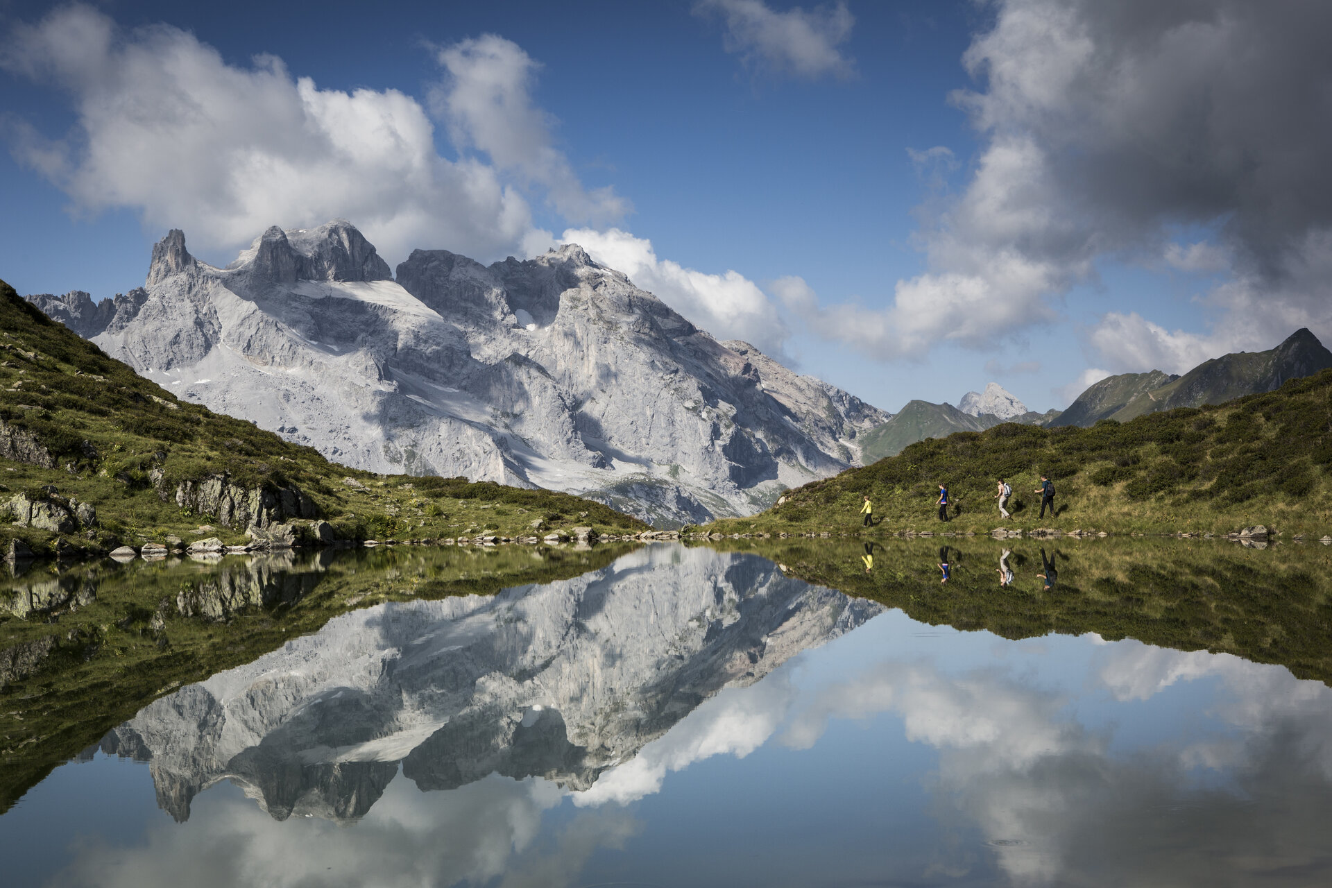
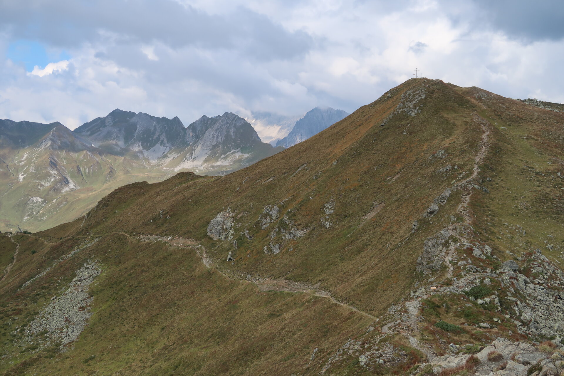
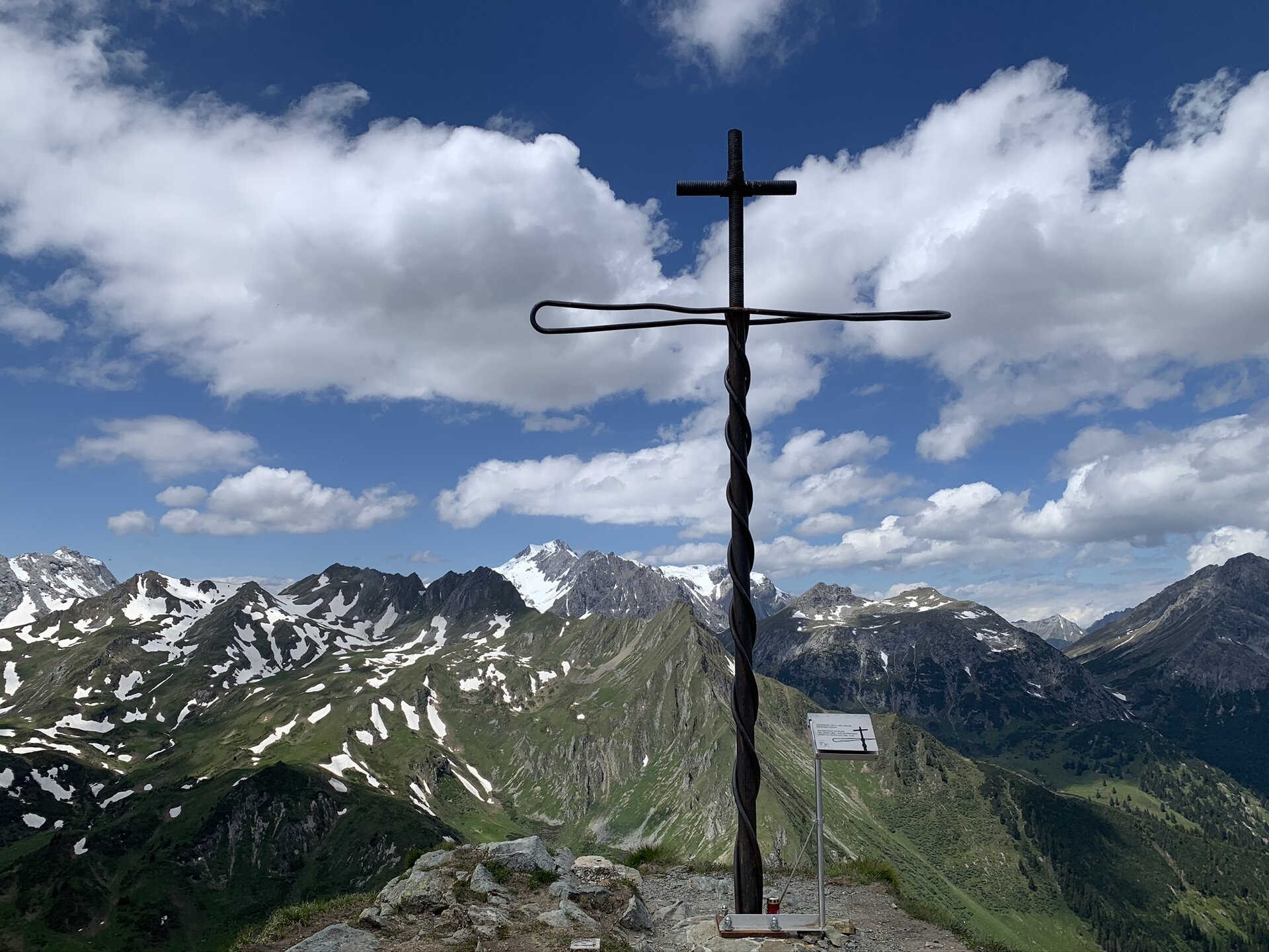
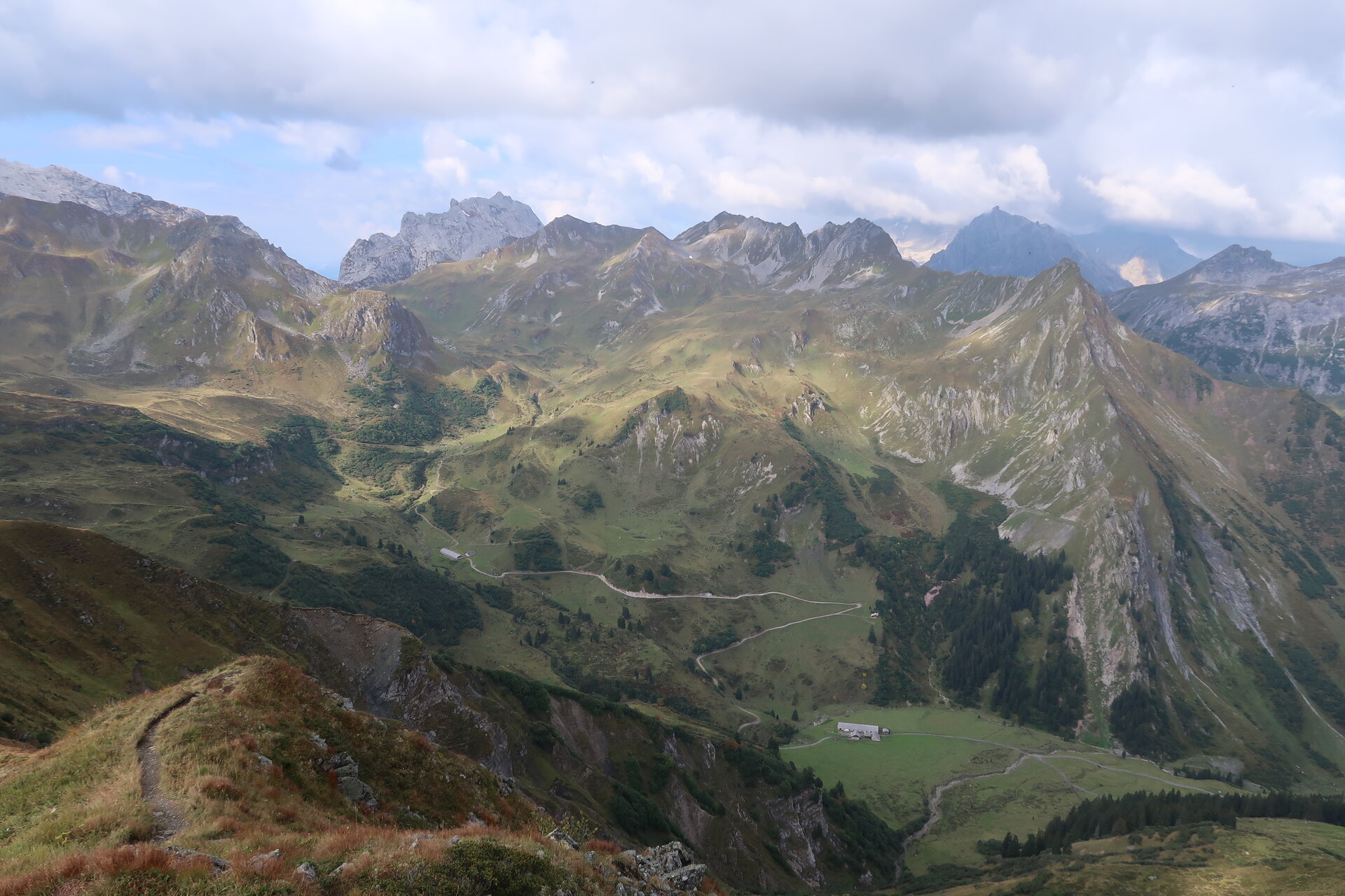
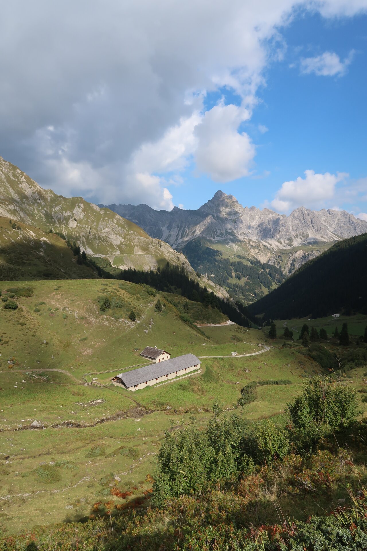
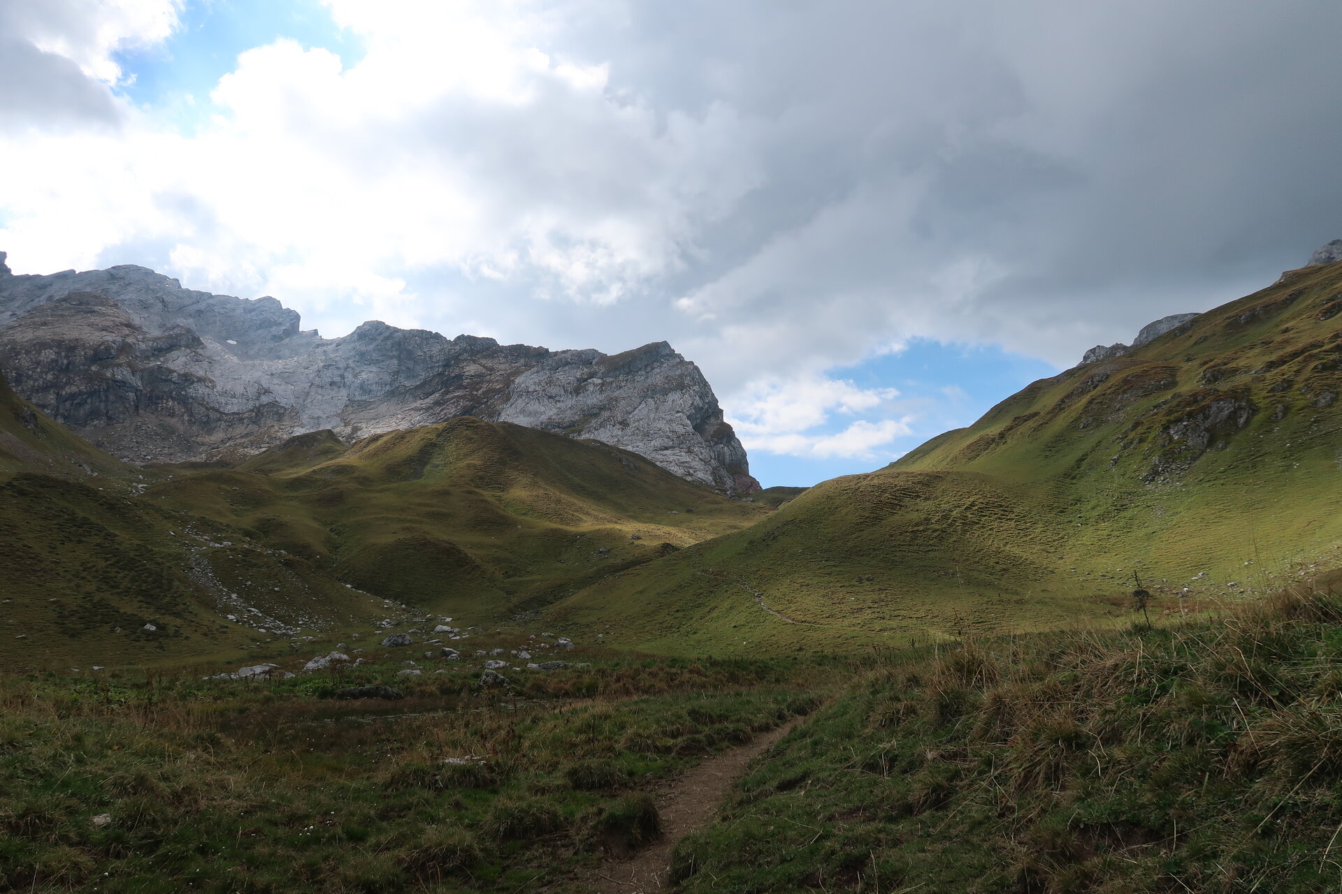
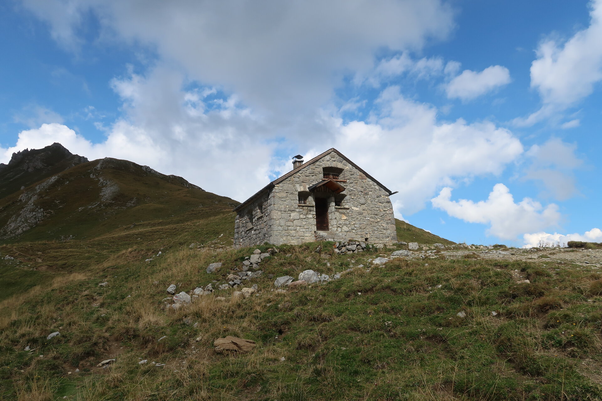
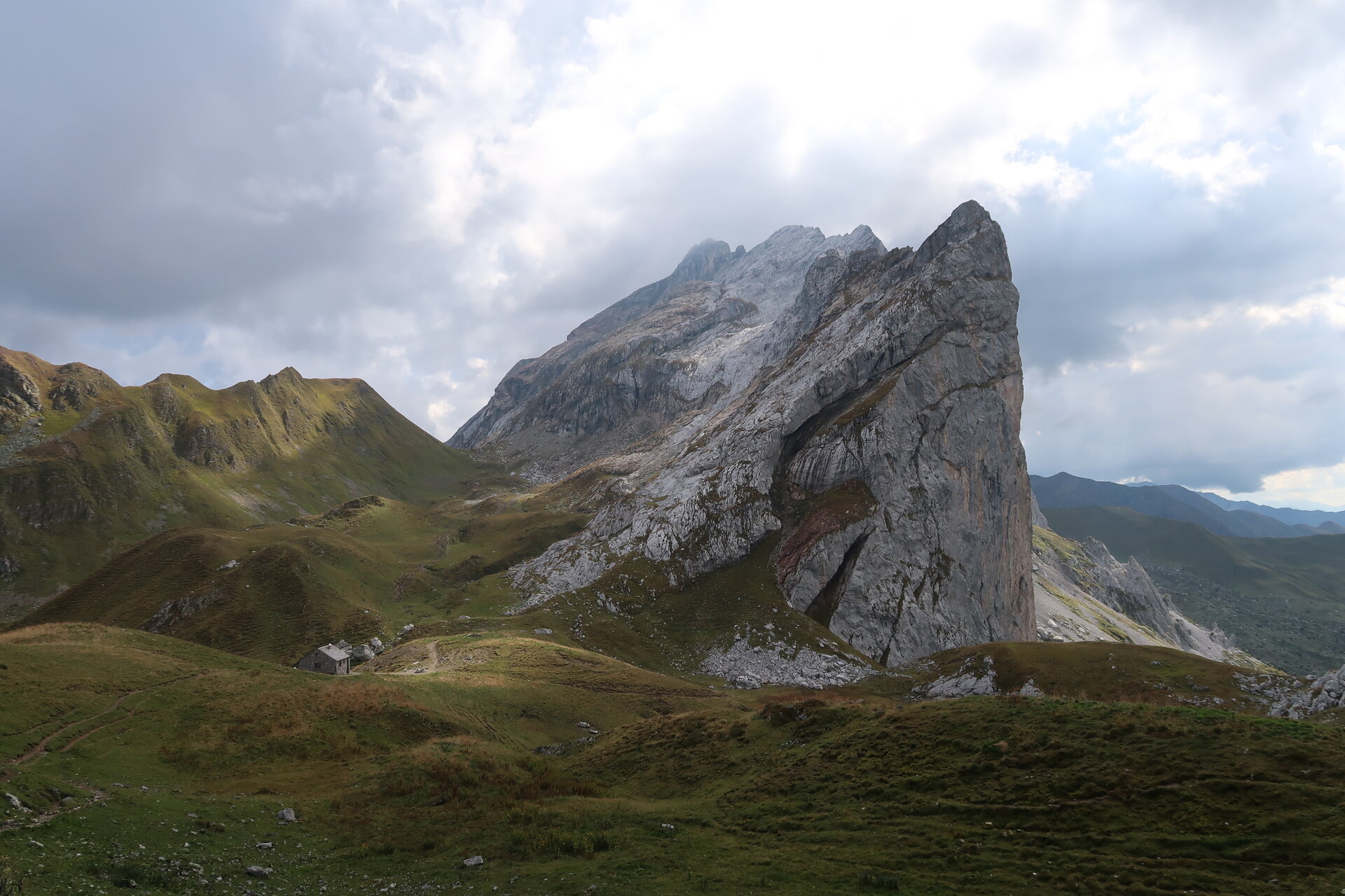
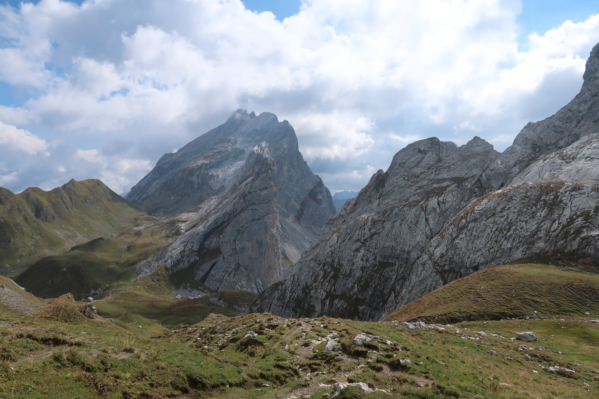
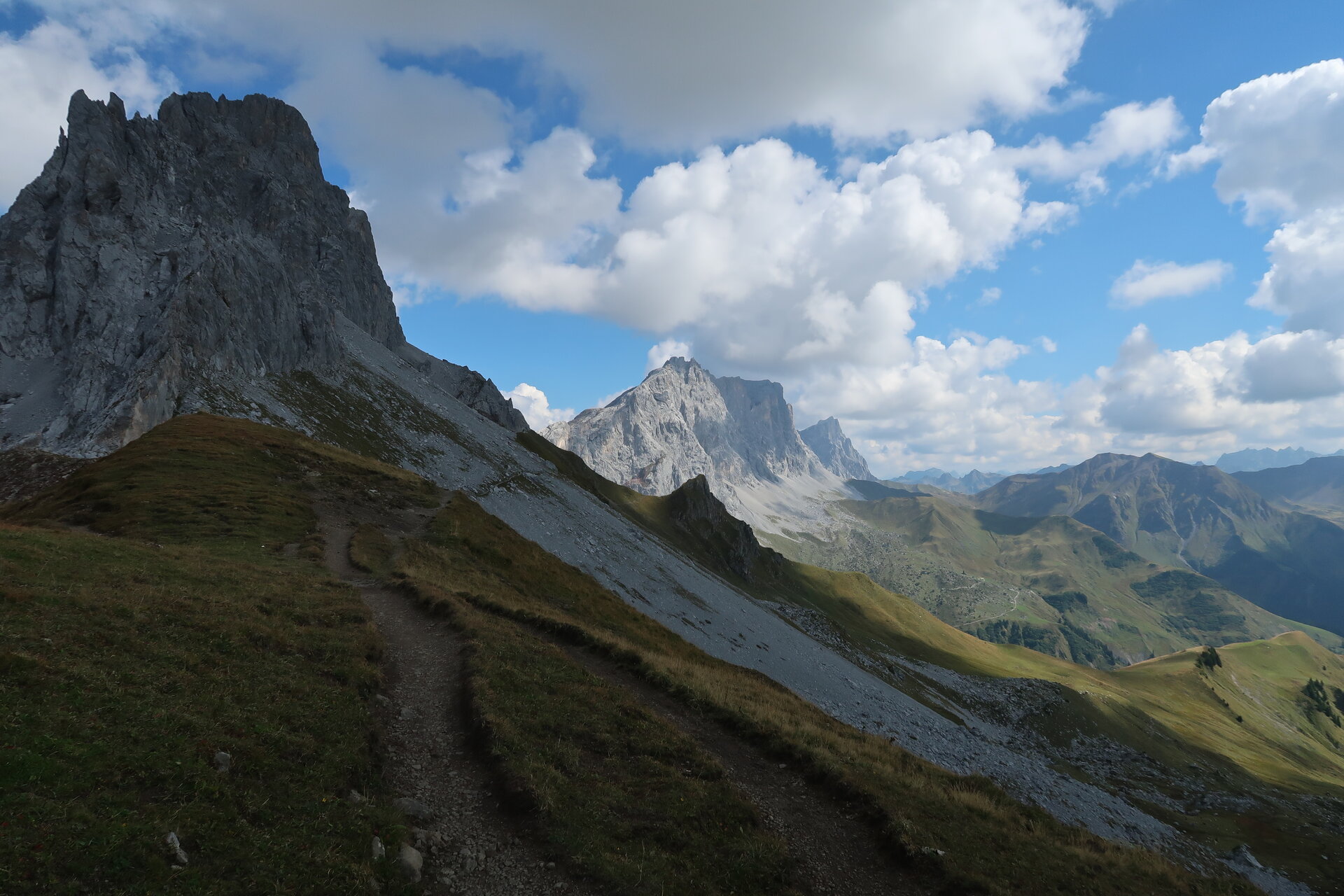
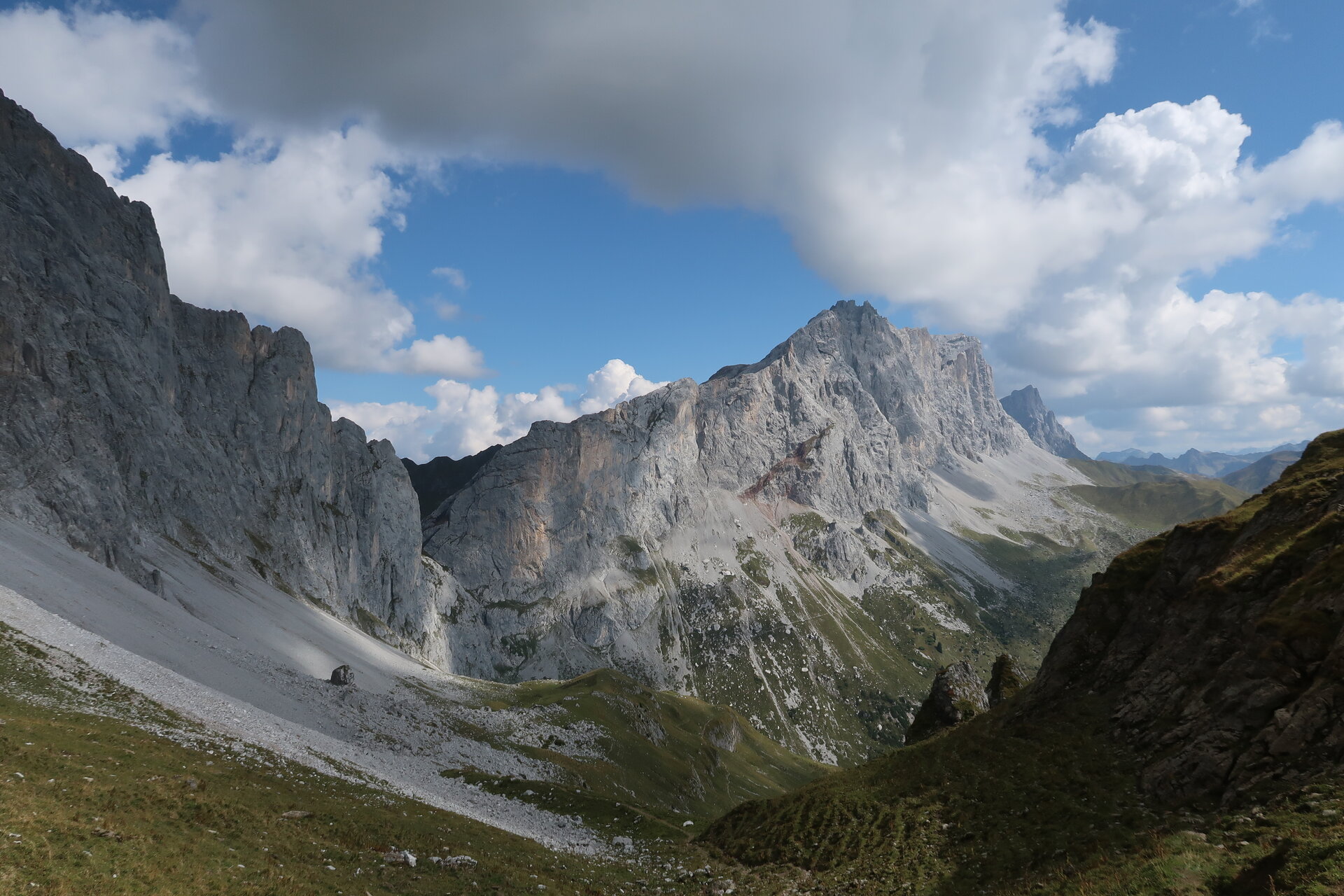
The Montafon Rätikon Loop takes you through the diverse mountain landscape of the Rätikon in four challenging stages—from the Drei Türme and the Zimba, past Lünersee, to the Sulzfluh, and back to Latschau.
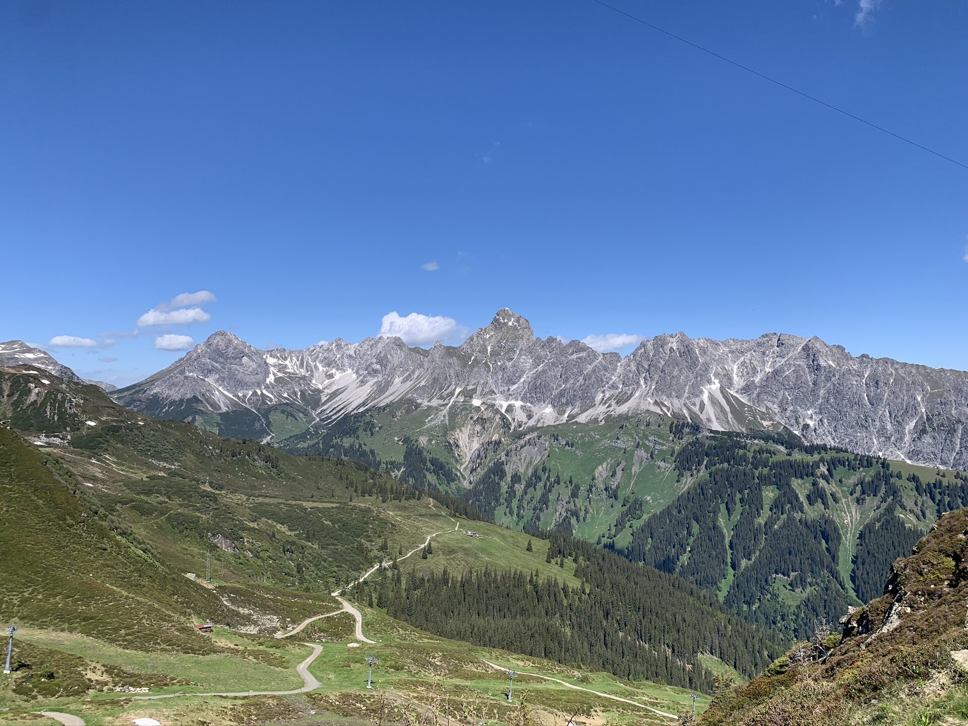
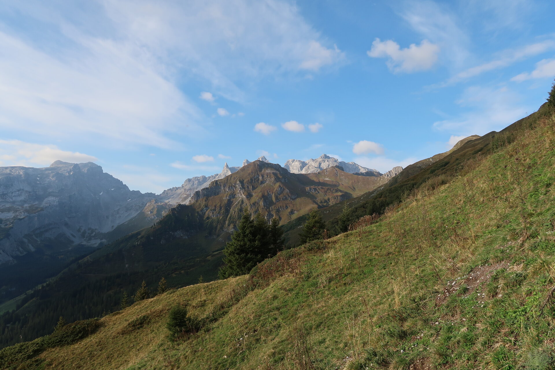
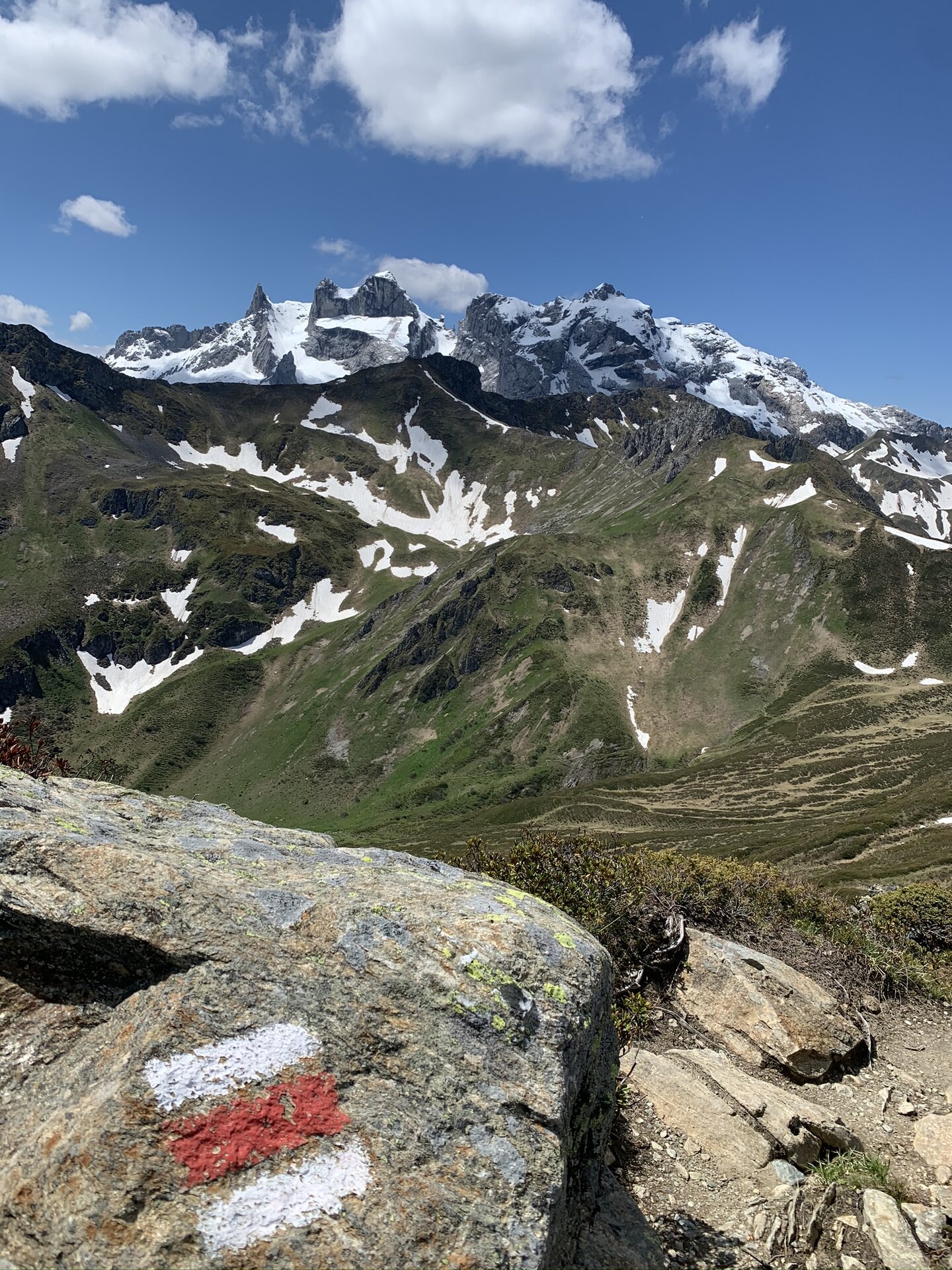
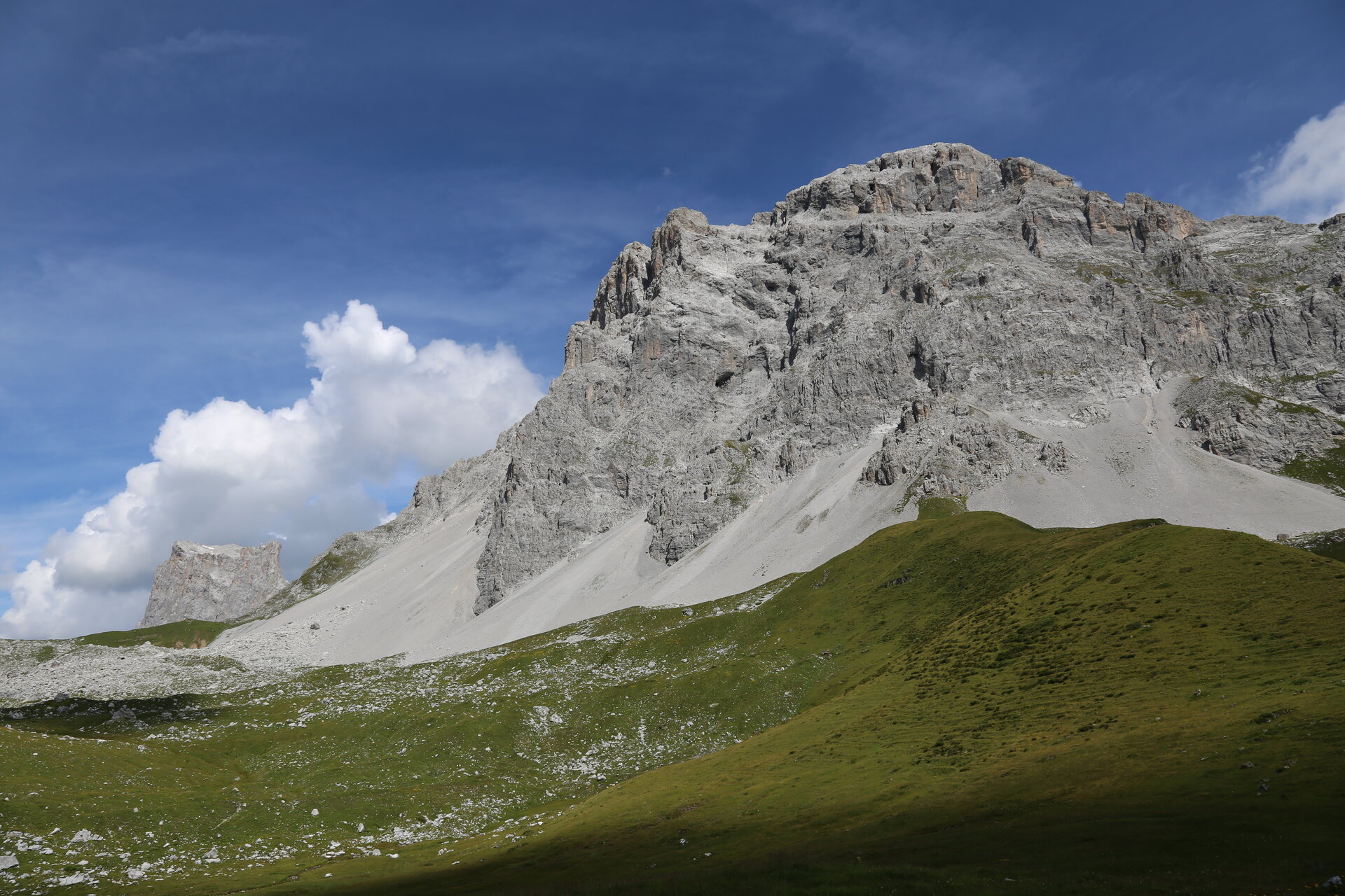
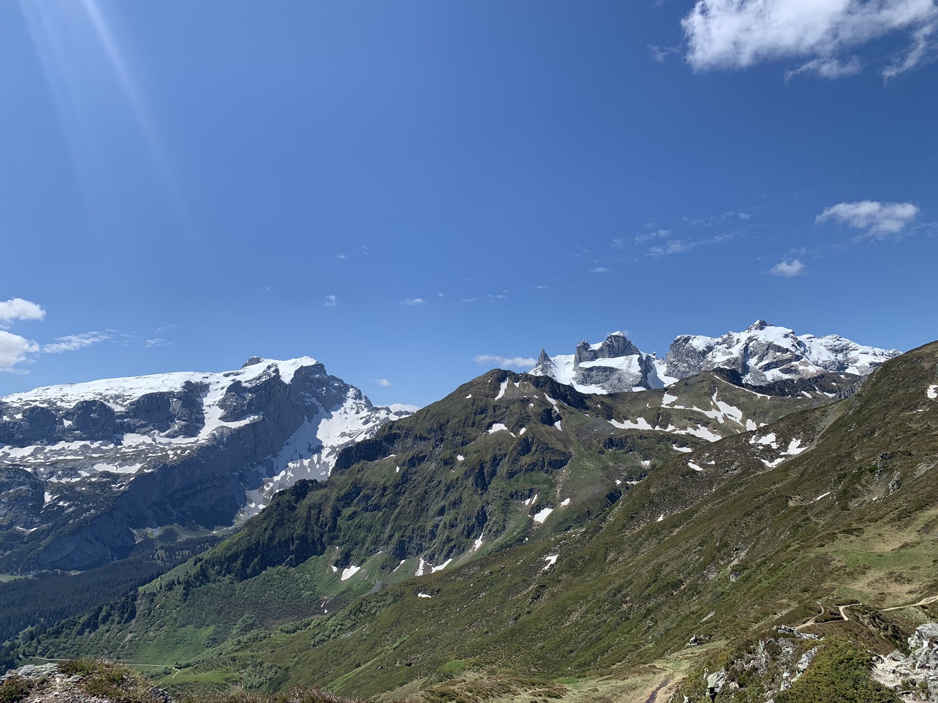
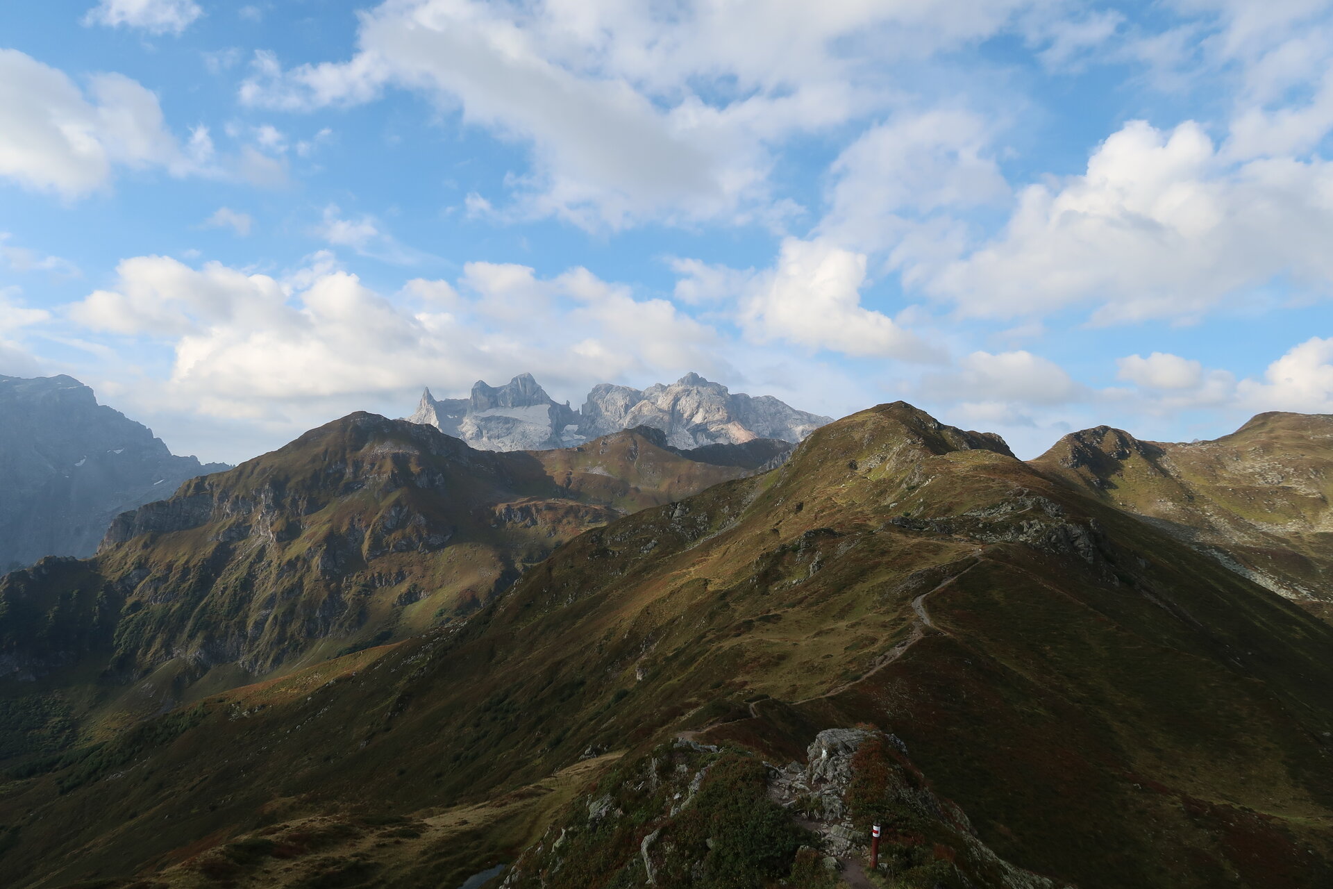
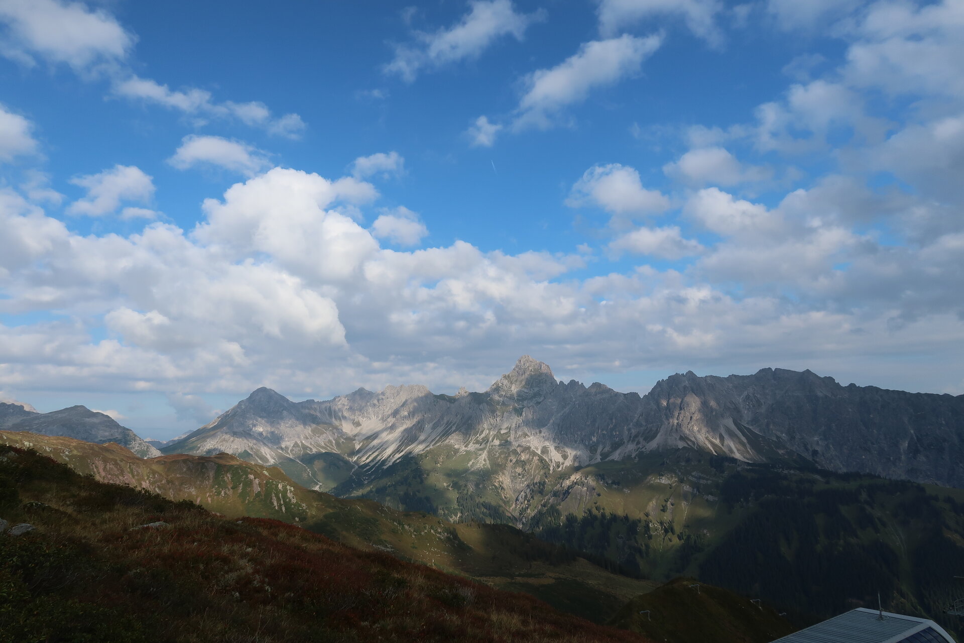
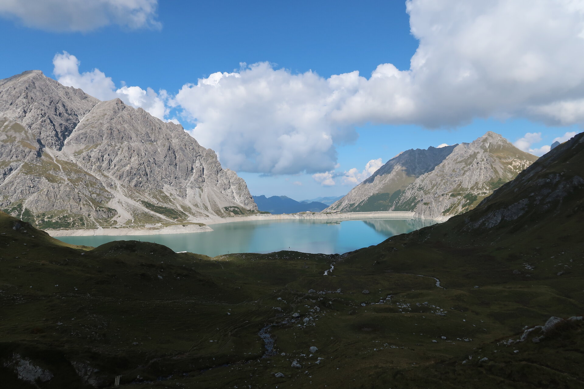
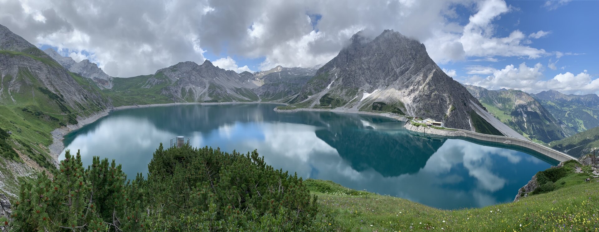
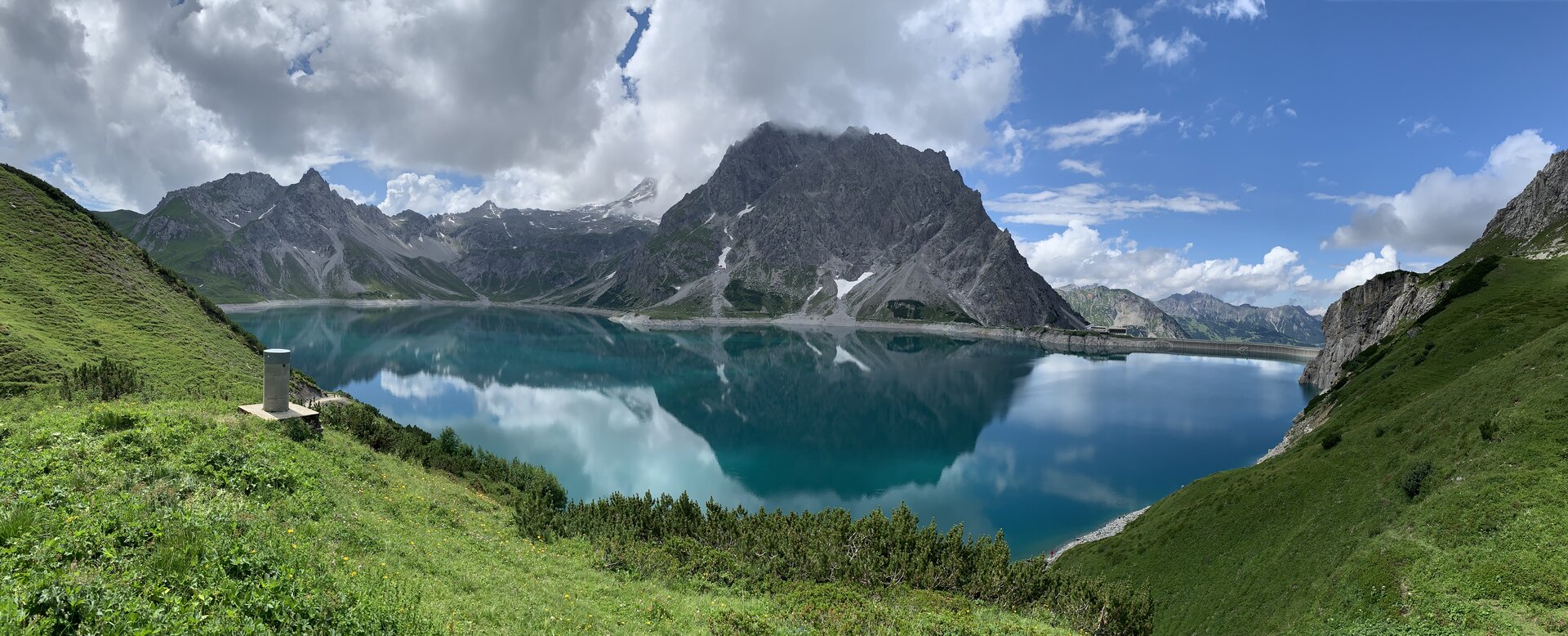
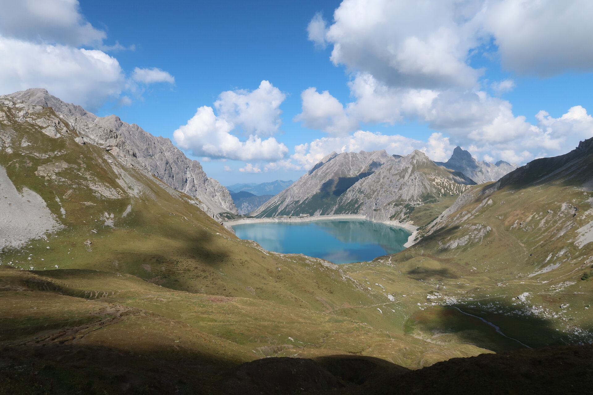
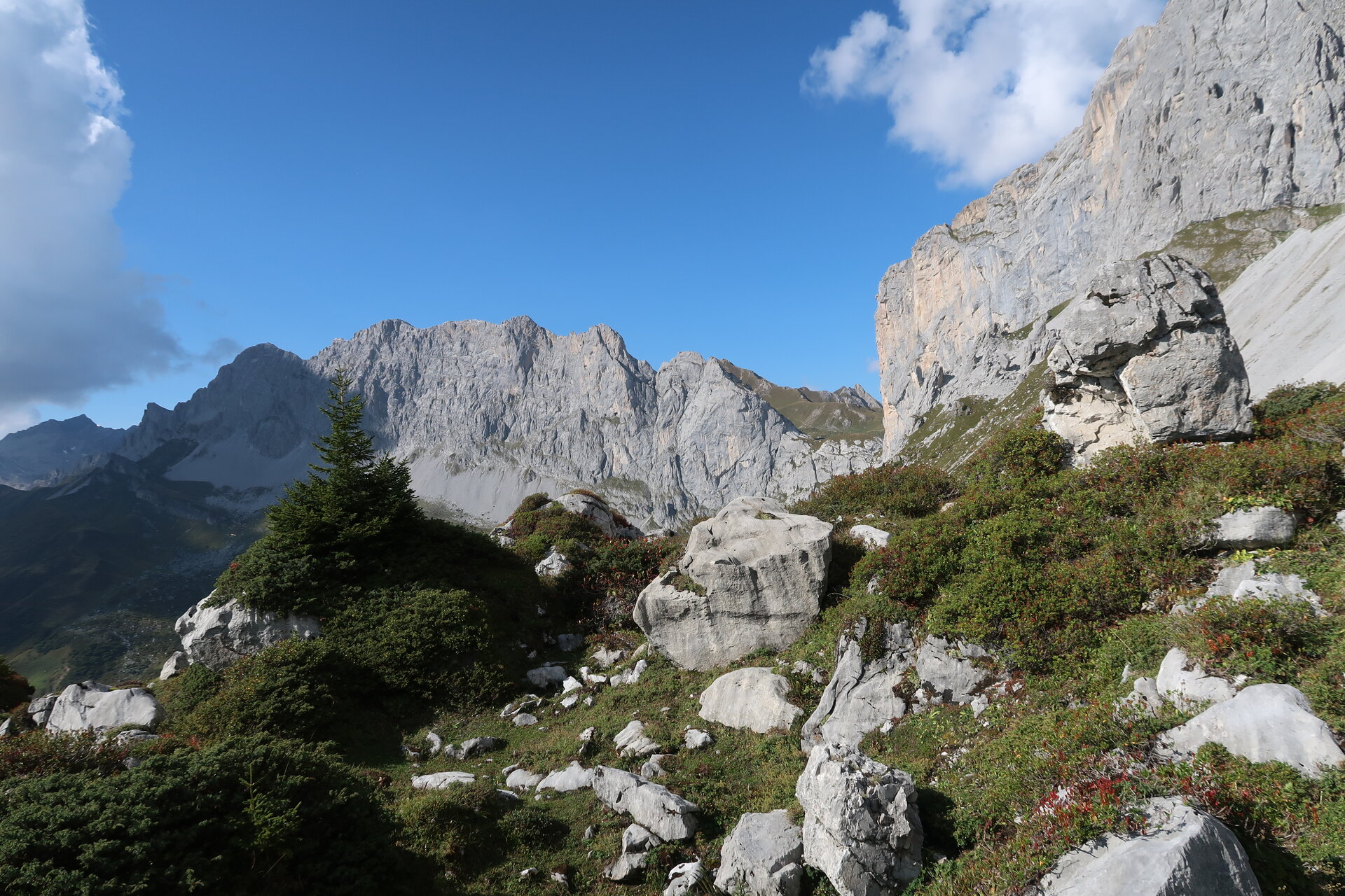
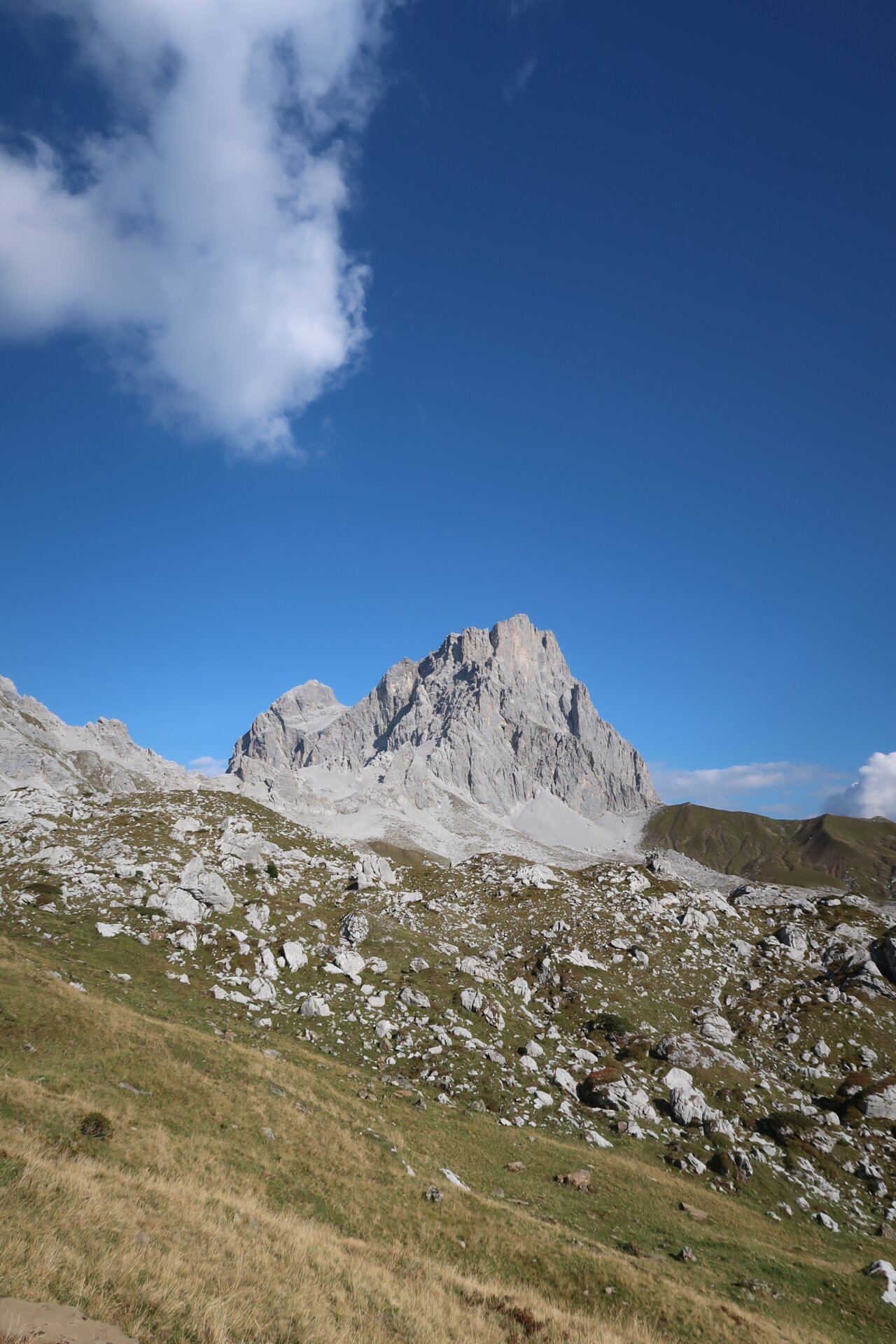
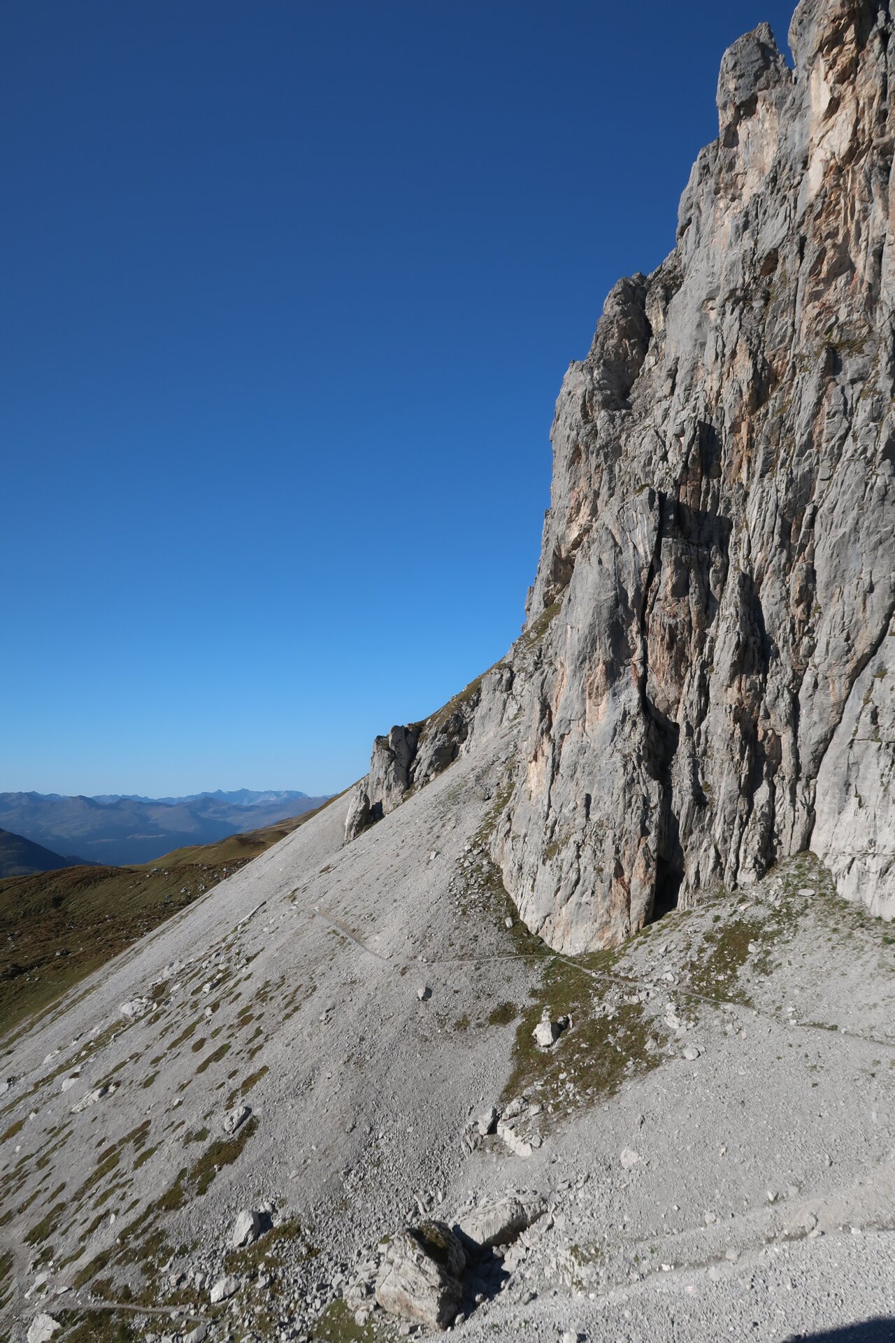
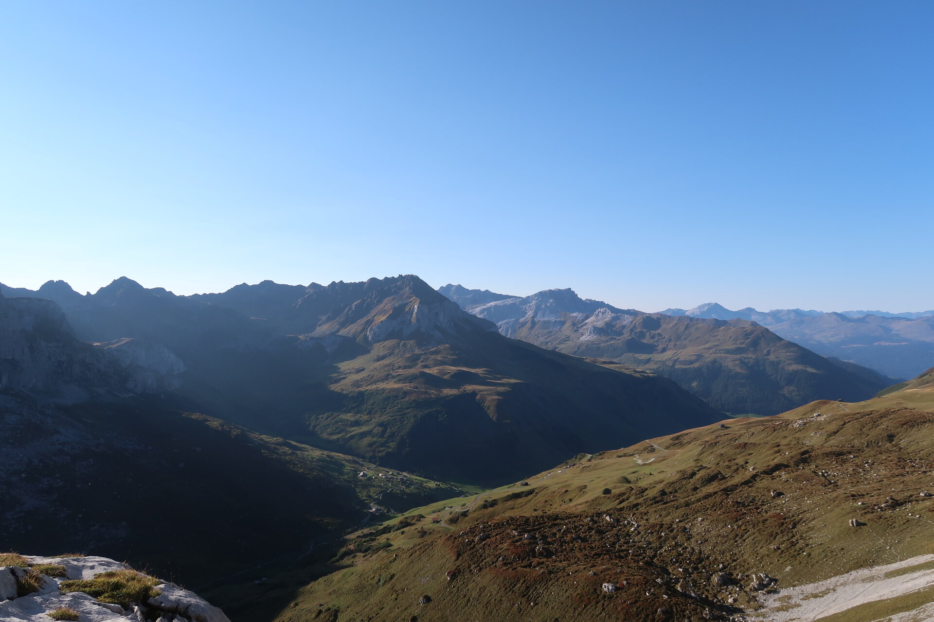
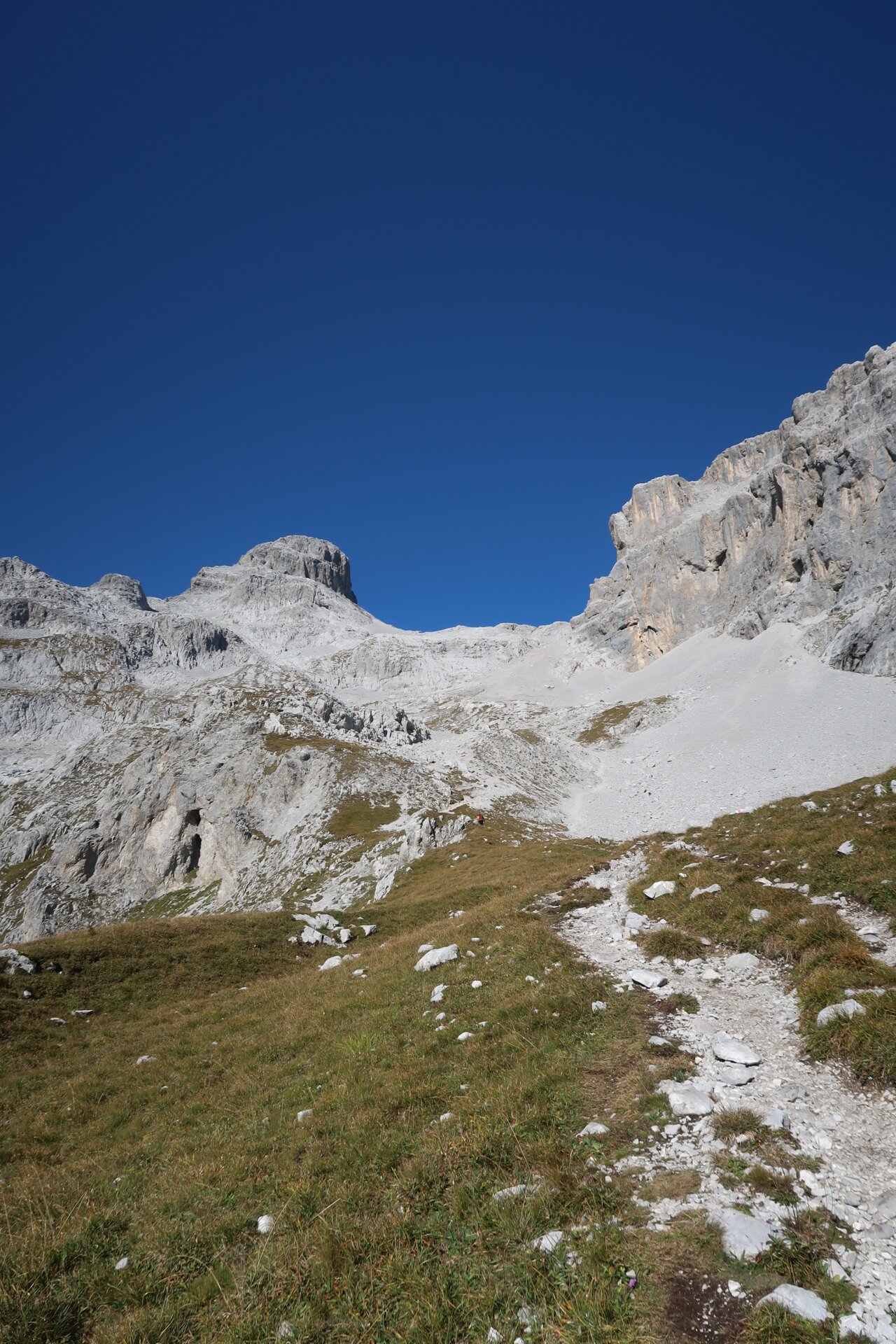
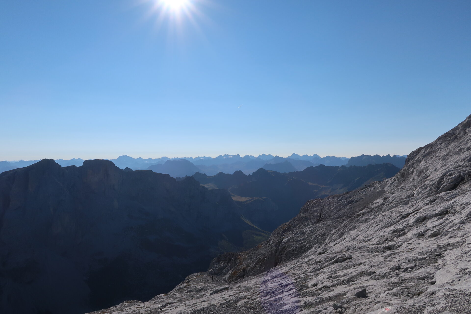
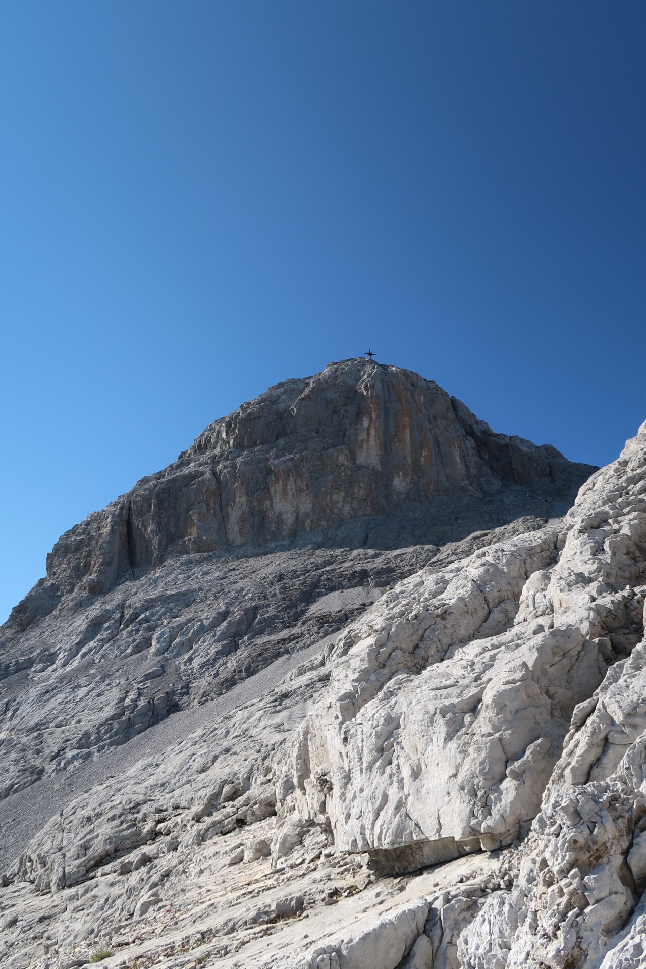
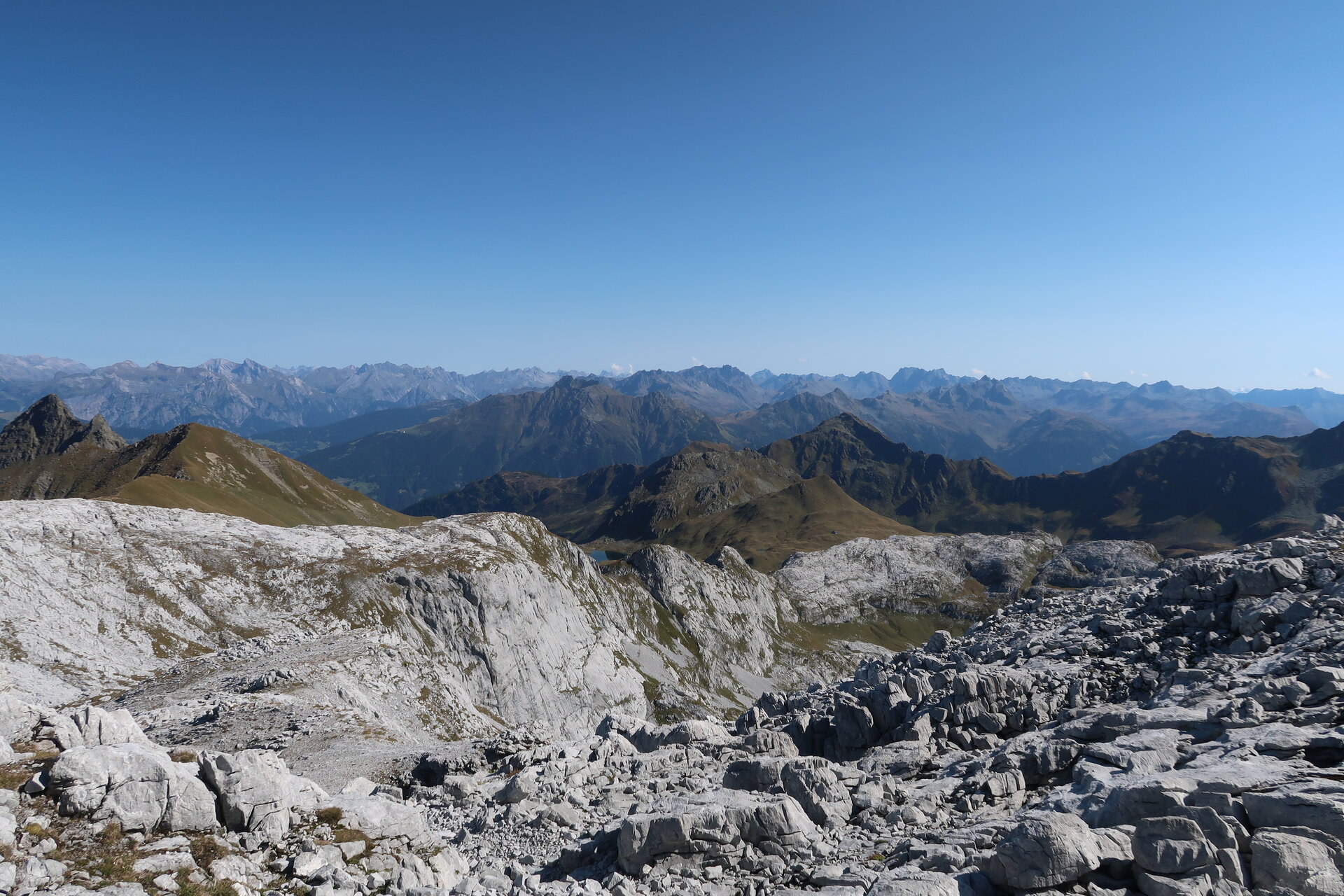
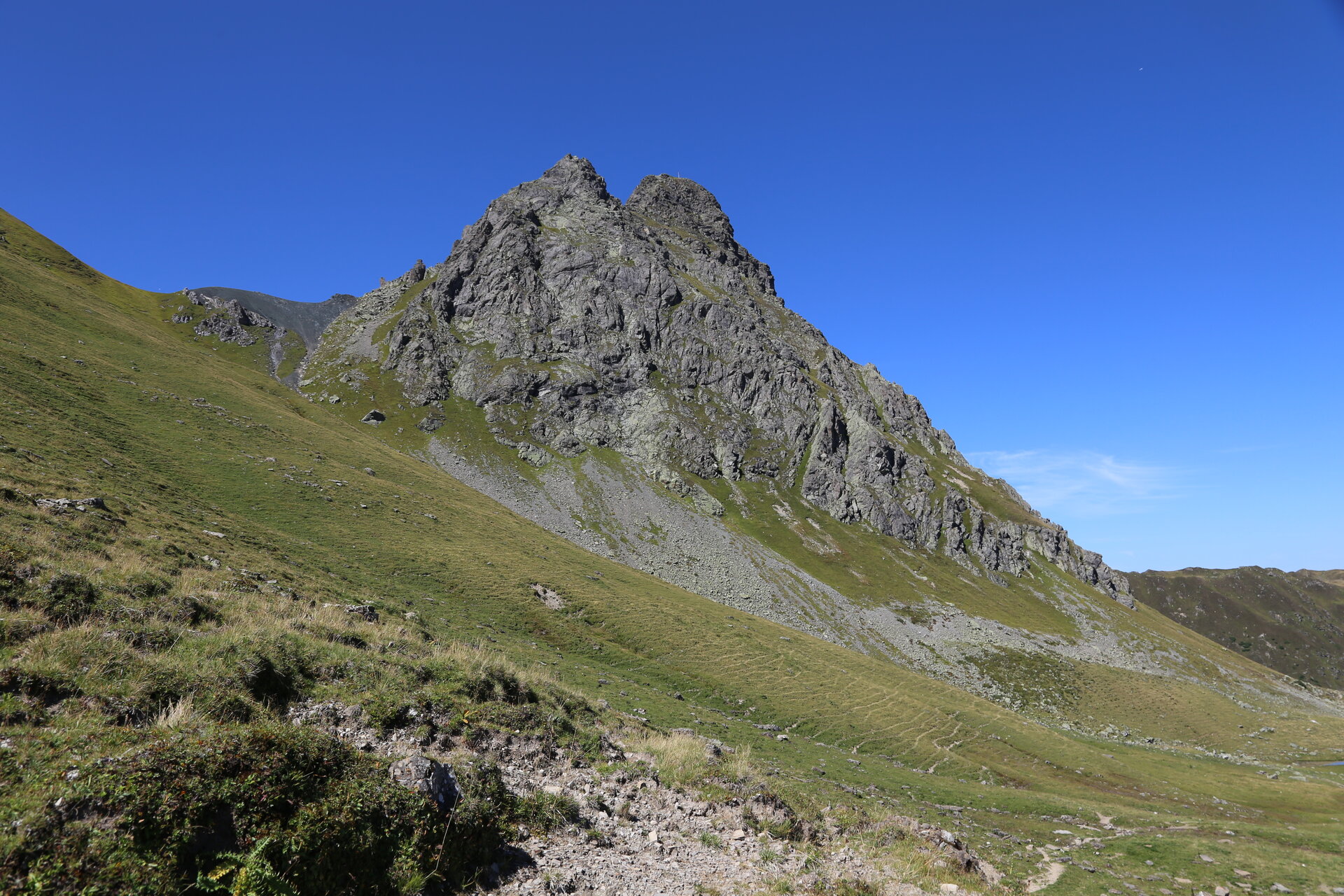
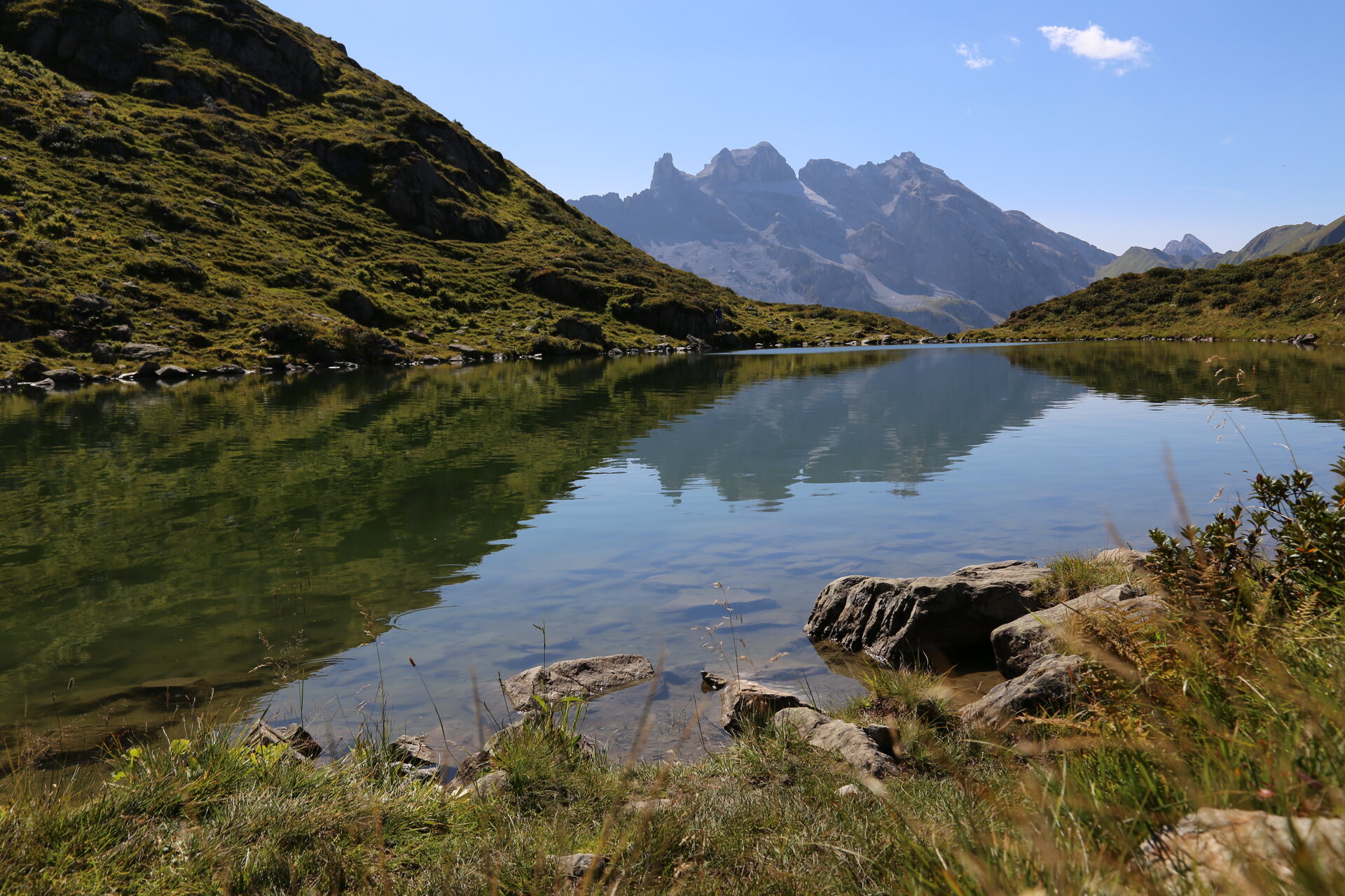
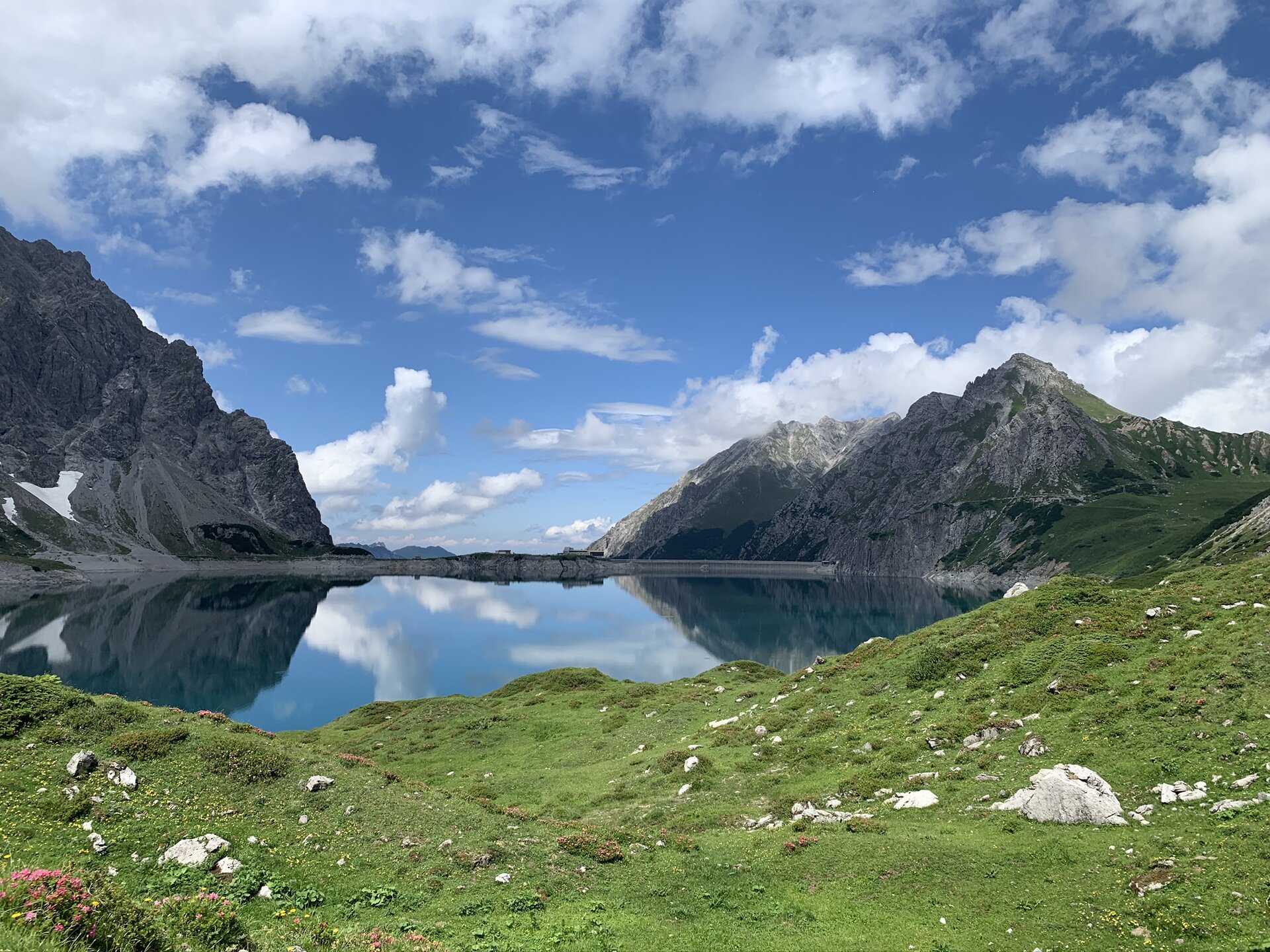
The Hüttenrunde trail showcases the many different facets of the Rätikon: blooming alpine meadows give way to striking limestone peaks, steep rock faces, and high-alpine landscapes. The route takes you past some of the Montafon’s most famous scenic and natural highlights, including the Drei Türme, the Zimba, the Sulzfluh, and Lake Lünersee.
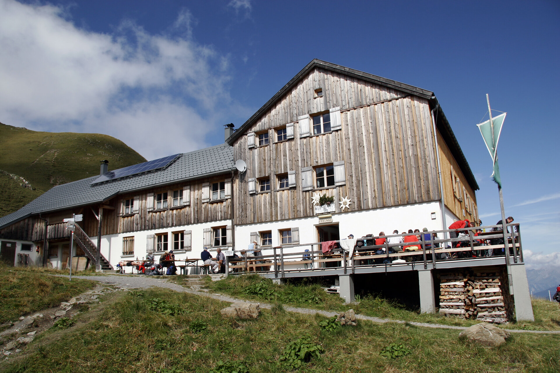
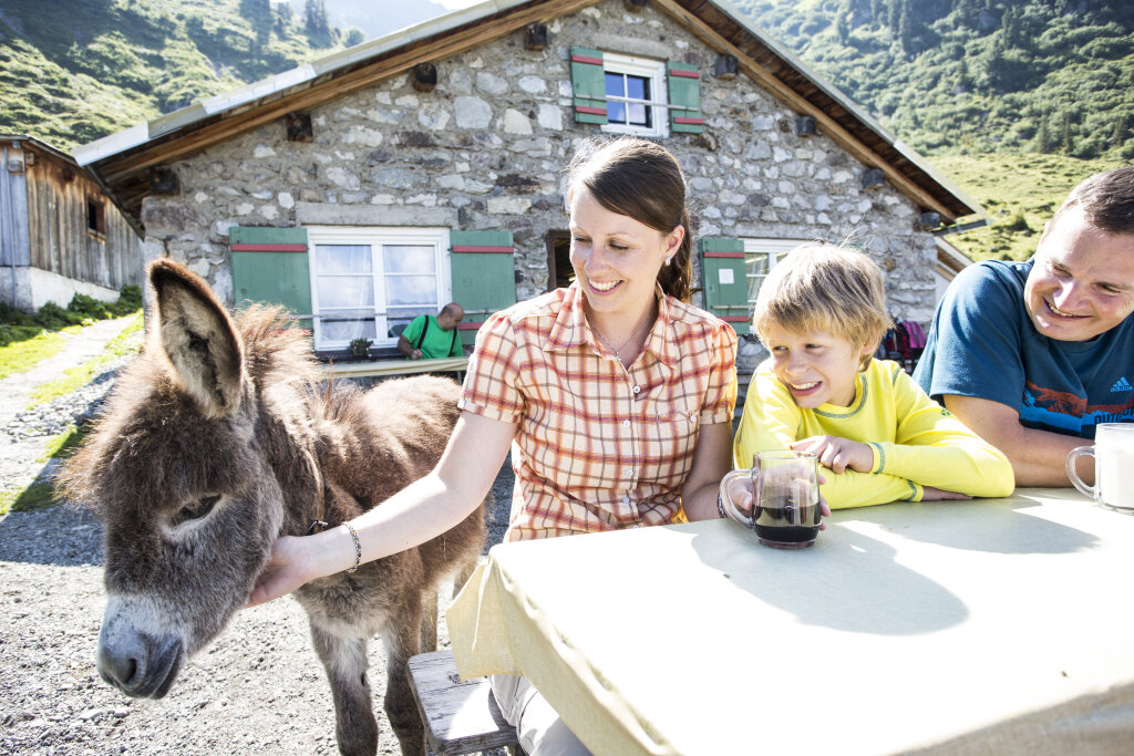
The tour also crosses the border into Switzerland and passes through the Prättigau. In addition to impressive mountain scenery, the various huts offer opportunities to enjoy regional cuisine and alpine hospitality.
What is the Montafon Alpine Mosaic?
The Alpenmosaik Montafon brings the region’s scenic diversity to life. The four exploration areas—Verwall, Silvretta, Rätikon, and the valley—offer different perspectives on nature, the landscape, and culture.
You can find more information about the Montafon Alpine Mosaic HERE.
Starting Point - Directions - End Point
Starting Point
Tschagguns, Golmerbahn mountain station (Grüneck)
Directions
Stage 1: Golmerbahn mountain station to Douglass Hut
From the Golmerbahn mountain station, the trail leads you toward the Golmer Kreuzjoch at 2,261 meters, over the Golmer Joch at 2,124 meters, and the Latschätzkopf at 2,219 meters. From the Kreuzjoch, the trail descends to the Hätaberger Joch at 2,154 meters and continues above the Obere Zaluandaalpe toward the Schweizer Tor. Passing the customs house, you hike to the Verajoch and then down to Lake Lünersee. Shortly before reaching the lake, you’ll arrive at the Lünersee-Alpe. From there, the trail leads you to the right around Lake Lünersee to the Douglass Hut.
Hiking time: approx. 6:00 hrs / Distance: approx. 13.3 km / Ascent: 979 hm / Descent: 890 hm
Stage 2: Douglass Hut to Carschina Hut
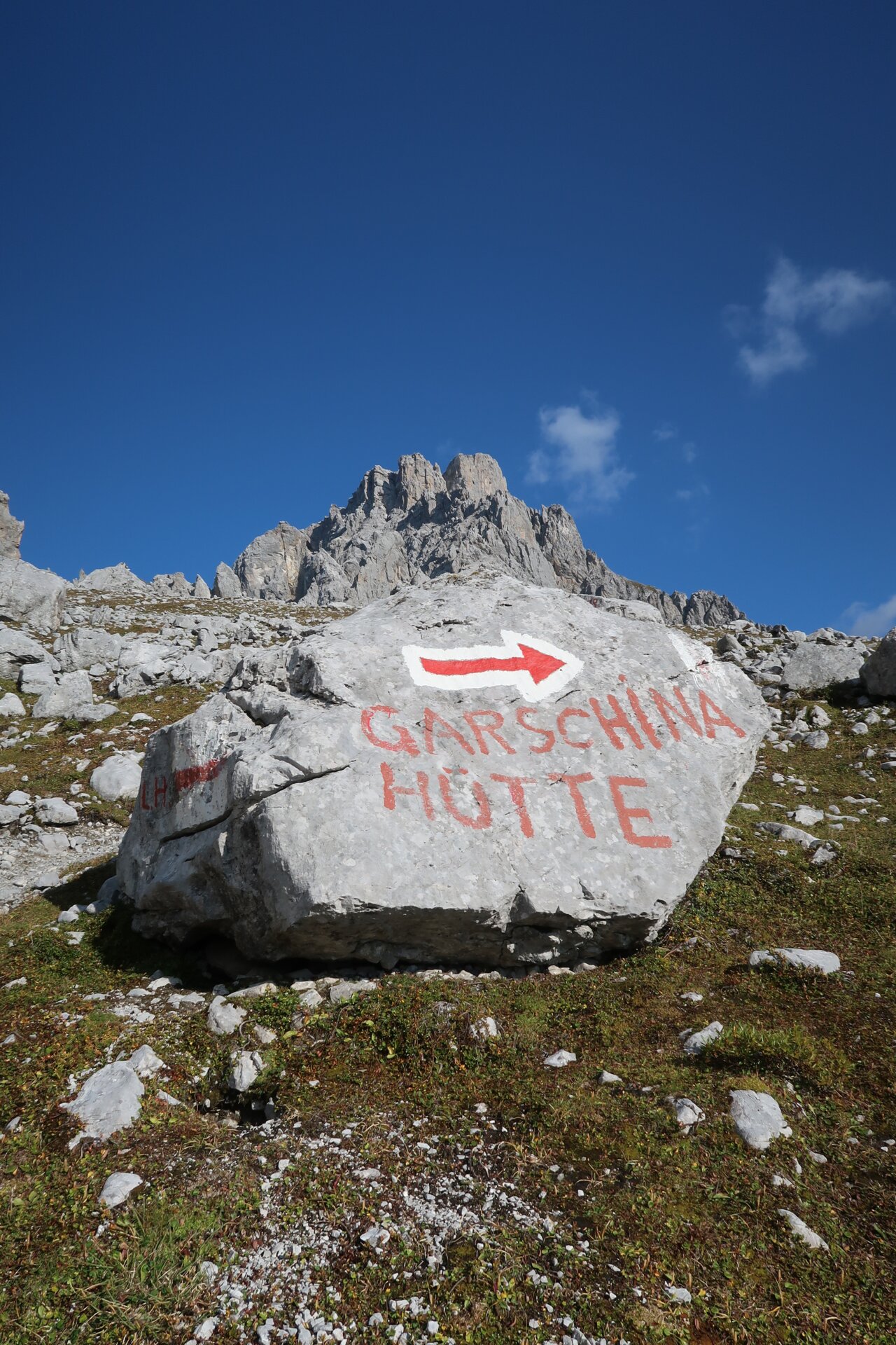
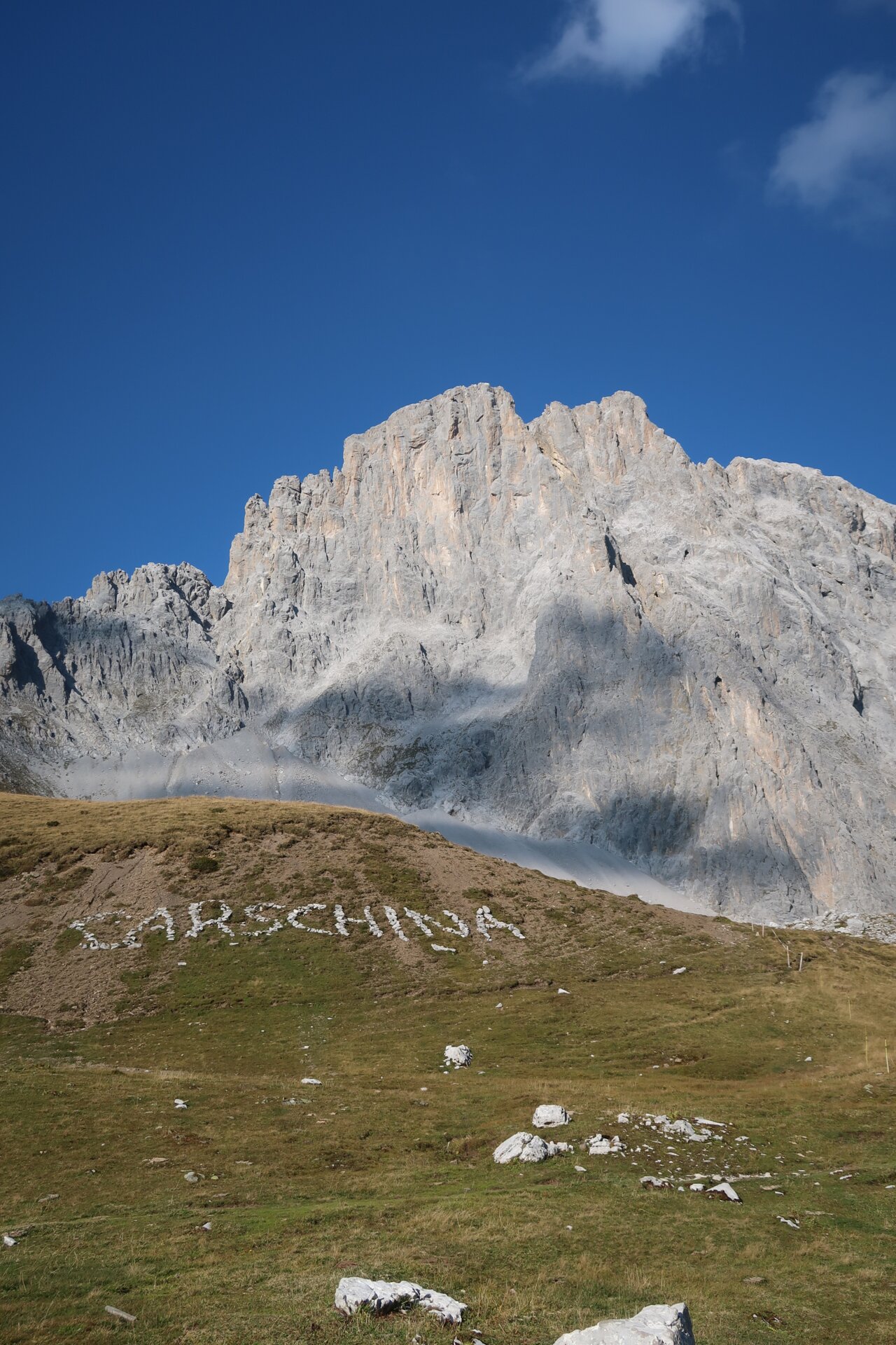
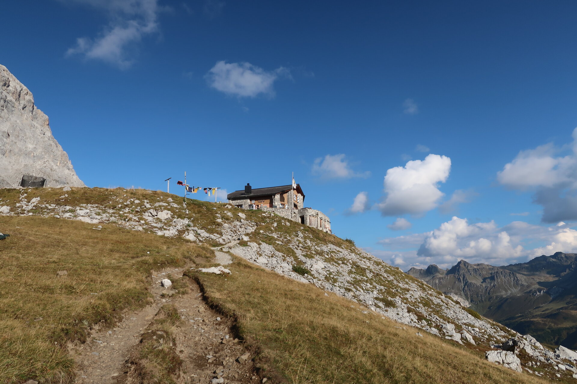
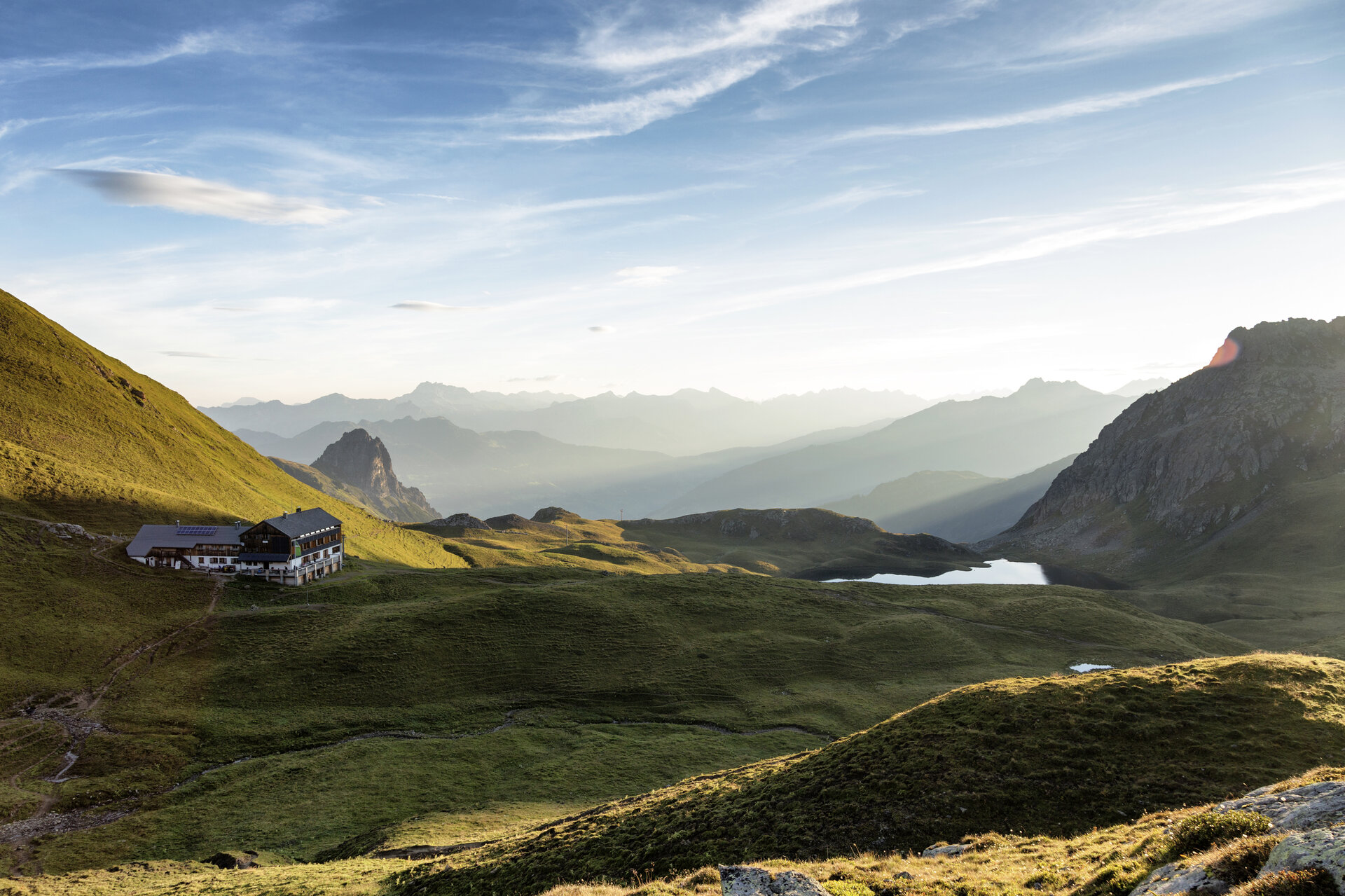
From the Douglass Hut, the trail first takes you across the dam and then around the remaining part of Lake Lünersee. Passing the Lünersee-Alpe, you’ll ascend to the Gafalljoch at 2,239 meters and cross the border into Switzerland. From there, you’ll follow the Prätigau High Trail below the Kirchlispitzen and continue beneath the Drei Türme to the Drusentor. You’ll then reach the Carschina Hut, which lies directly below the Sulzfluh.
Hiking time: approx. 5:20 hrs / Distance: approx. 14.6 km / Ascent: 584 hm / Descent: 348 hm
Stage 3: Carschinahütte to Tilisunahütte
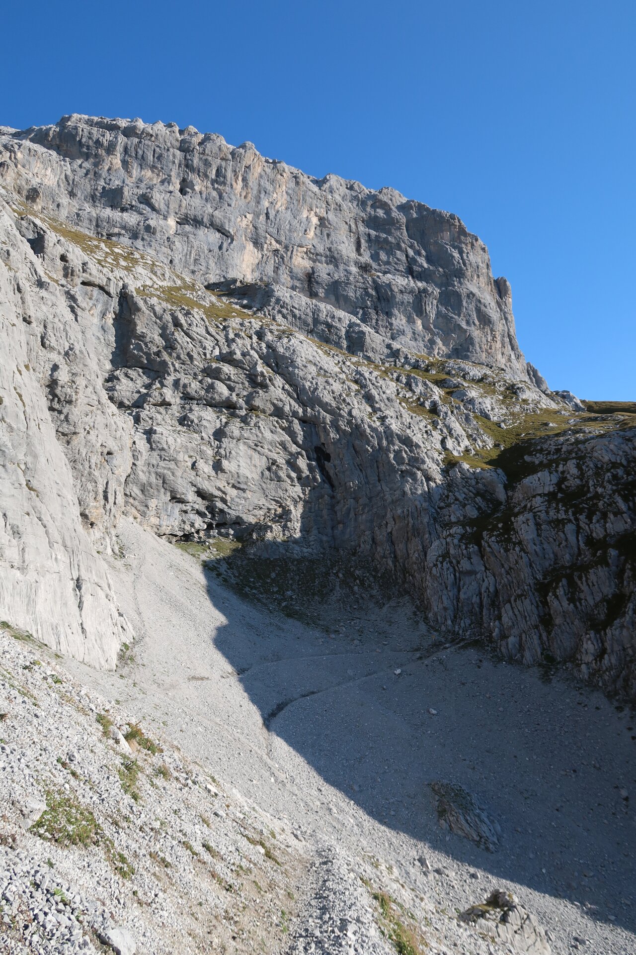
From the Carschinahütte, the trail first leads you toward Partnun and to the entrance to the Gemschtobel. A short section secured with a steel chain requires sure-footedness and a head for heights. Through the Gemschtobel, you continue ascending toward Sulzfluh. Especially on warm days, you should carry plenty of drinking water. Below Sulzfluh, you leave the Gemschtobel and reach the summit via the white limestone. After a break, you continue toward the Tilisuna Hut.
Hiking time: approx. 4:25 hrs / Distance: approx. 8.8 km / Ascent: 664 hm / Descent: 684 hm
Stage 4: Tilisuna Hut to Tschagguns/Latschau
From the Tilisuna Hut, the trail takes you past Lake Tilisuna and below the Schwarzhorn to the Schwarzhorn Saddle. From there, the trail descends steeply to Lake Tobel. You continue past the Alpe Alpila and across the Vollspora back to Latschau.
Walking time: approx. 3:25 hrs / Distance: approx. 8.2 km / Ascent: 78 hm / Descent: 1,294 hm
End point
Tschagguns, Golmerbahn Middle Station Latschau
Getting to the starting point
Getting to the Starting Point
The starting point for the tour is the Golmerbahn mountain station in Latschau.
By public transportation:
The Montafon regional bus and the Montafonerbahn provide convenient and flexible travel throughout the valley. Trains and buses run regularly between the towns, every half hour or every hour depending on the route. You can find the right connection HERE. Bus stop for the start/end of this tour: Latschau Golmerbahn. From there, take the Golmerbahn to the Grüneck mountain station.
By car:
Take the A14 to the Bludenz/Montafon exit, then follow the Montafoner Straße L188 to Tschagguns. From Tschagguns, you’ll reach the higher-altitude village of Latschau. Parking is available at the Golmerbahn. From there, take the Golmerbahn to the mountain station and the starting point of the tour.
Important Information
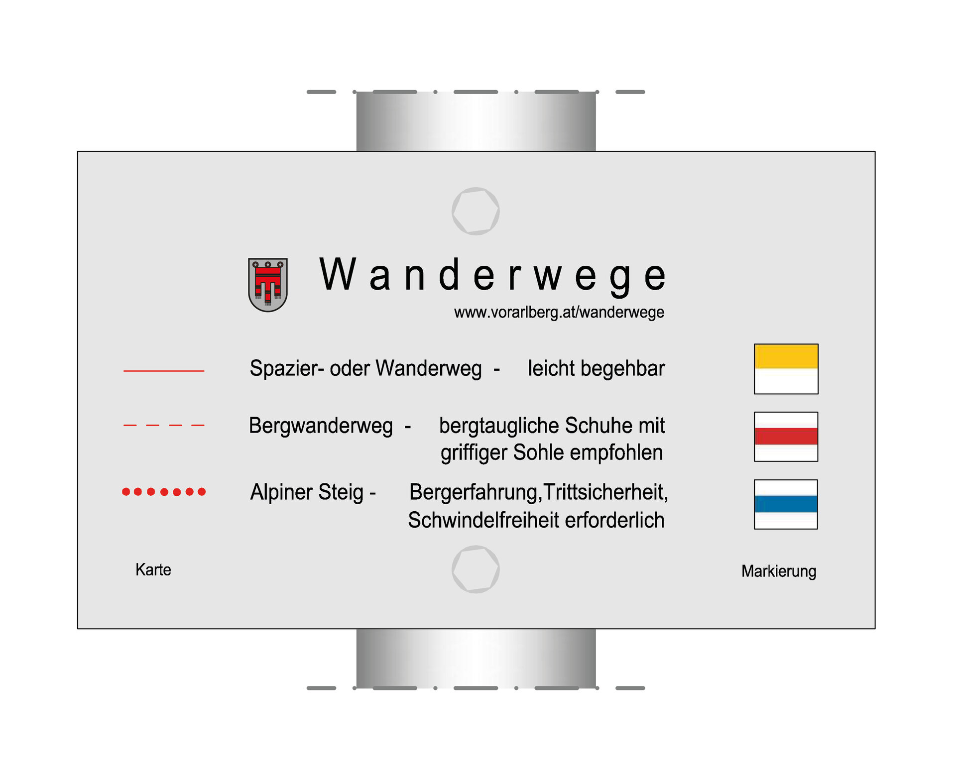
The Montafon Rätikon Circuit is a challenging multi-day hike for experienced mountain hikers. On some sections, alpine trails lead over exposed passages. A surefootedness and a head for heights are especially important in the Gemschtobel.
For the entire tour, we recommend good, ankle-high hiking boots with a grippy tread, plenty of food and drinking water, as well as sun and rain protection. Hiking poles can help you on the ascents and descents.
Plan your daily stages carefully and book your overnight stays at the mountain huts well in advance.
Tips
After a long hike, you can wind down the day with a cold drink at the Carschina Hut while enjoying the sunset over the mountains.
Sicherheitstipps für Wandern in Vorarlberg
EN NOTRUF:
EN 140 - Alpine Notfälle österreichweit
EN 144 - Alpine Notfälle Vorarlberg
EN 112 - Euro-Notruf (funktioniert mit jedem Handy/Netz)