Sulzfluh via ferrata

Difficult
open
Rundtour
Mountaineering · Klettersteig · Round trip
06:00 h duration
9,9 km Length in km
2816 m Highest point
2027 m Lowest point
904 m gain Ascent
910 m gain Descent
Stamina
Difficulty
Adventure
Scenery

Tour description

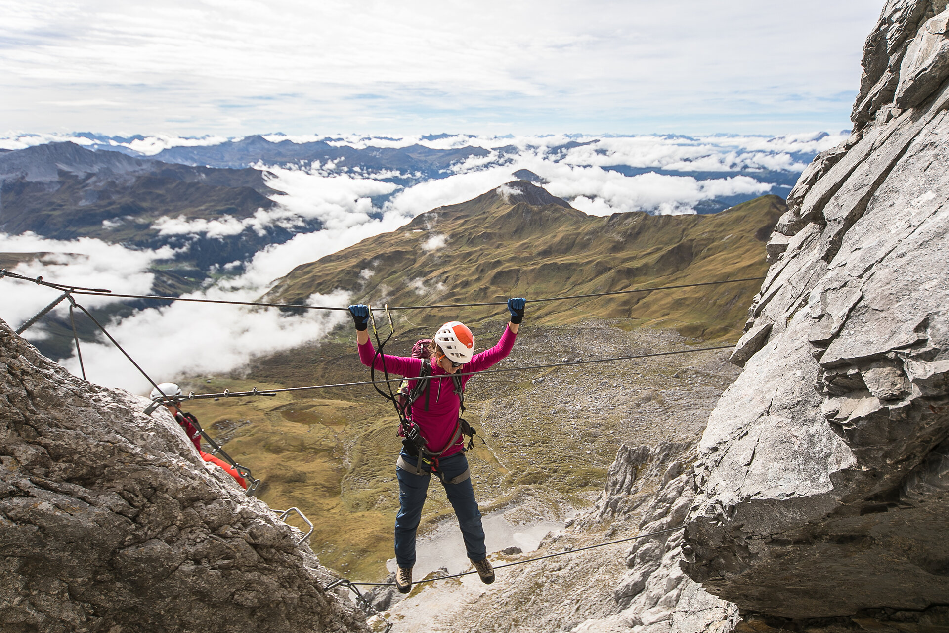
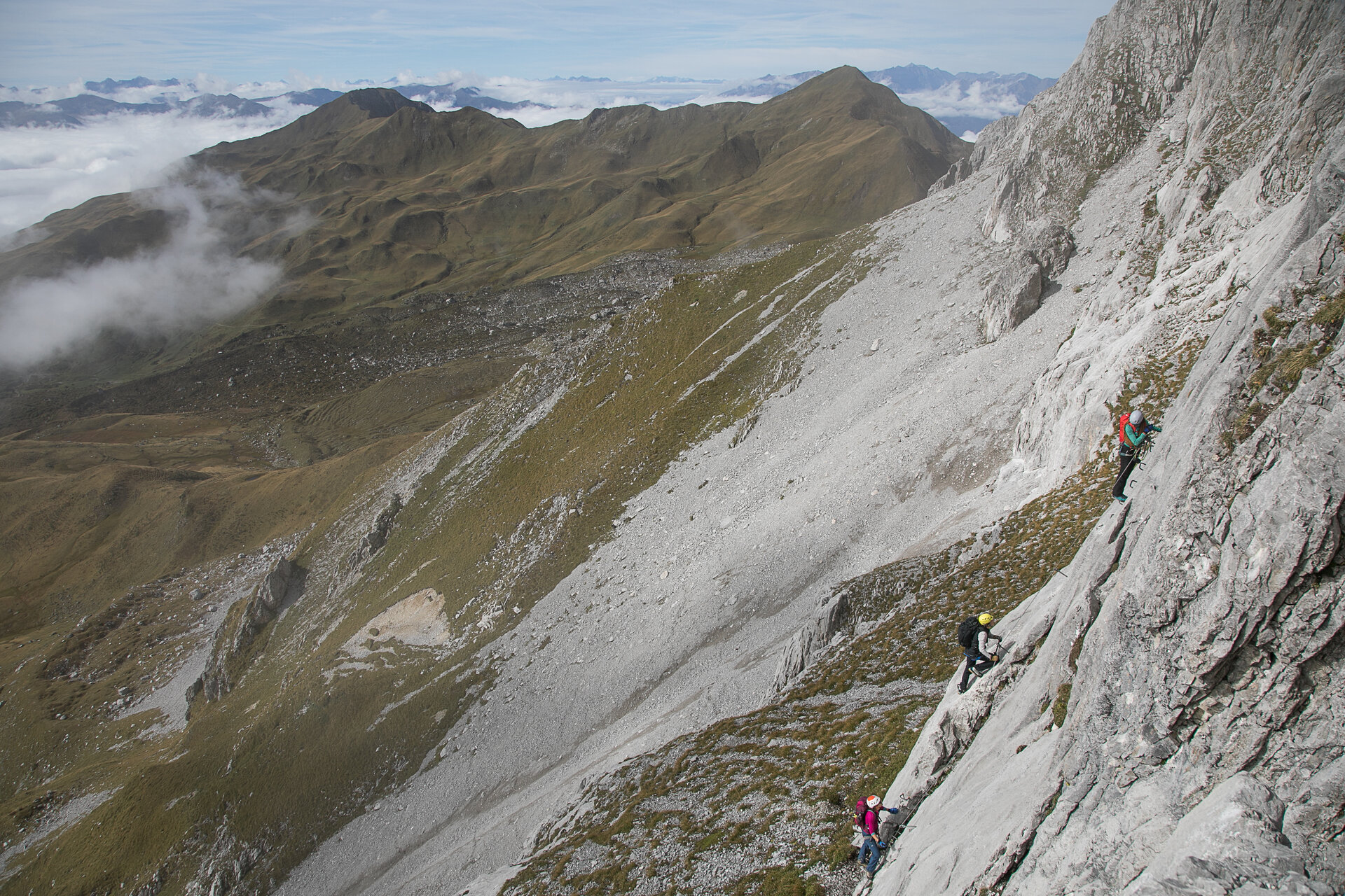
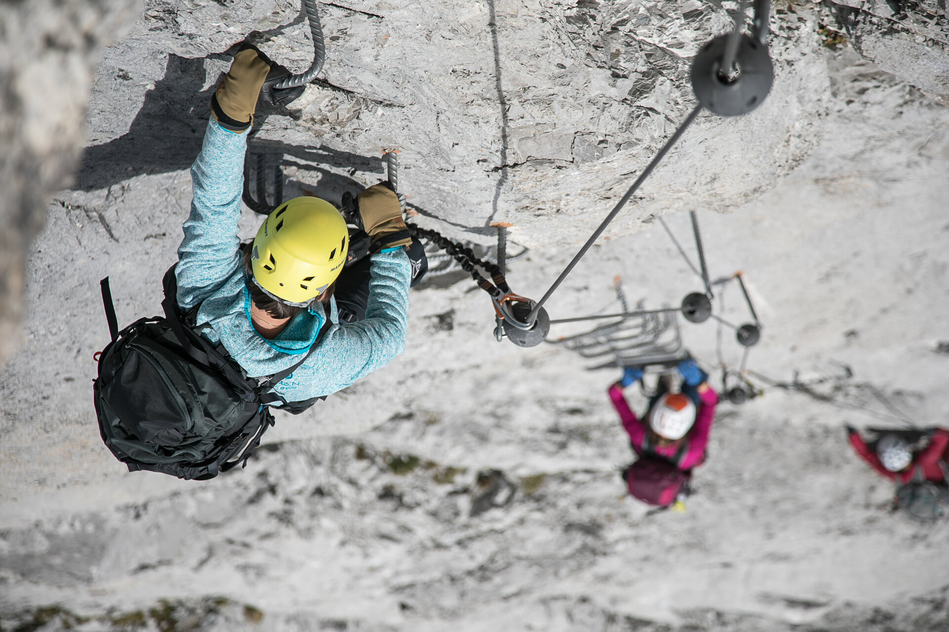
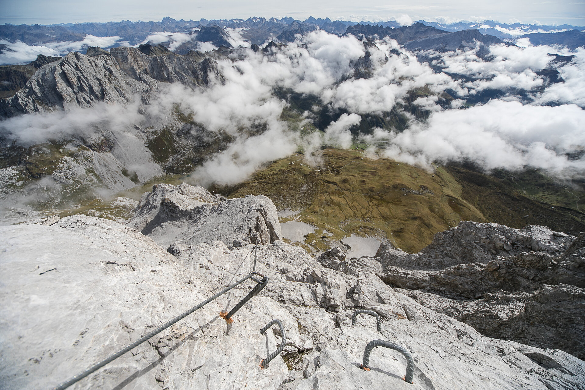
Exposed and steep route with steep climbing sections on compact limestone slabs, interspersed with rock bands that offer opportunities for rest. A classic for ambitious via ferrata climbers!

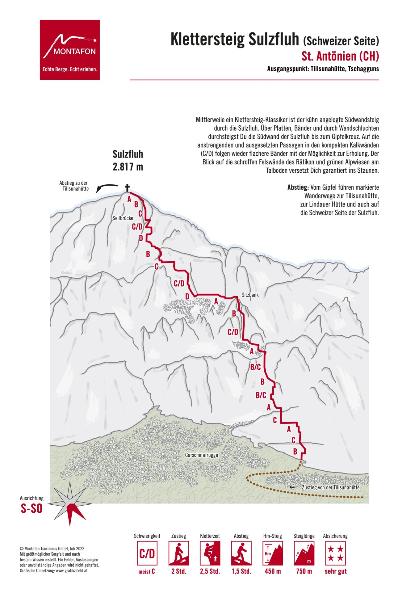
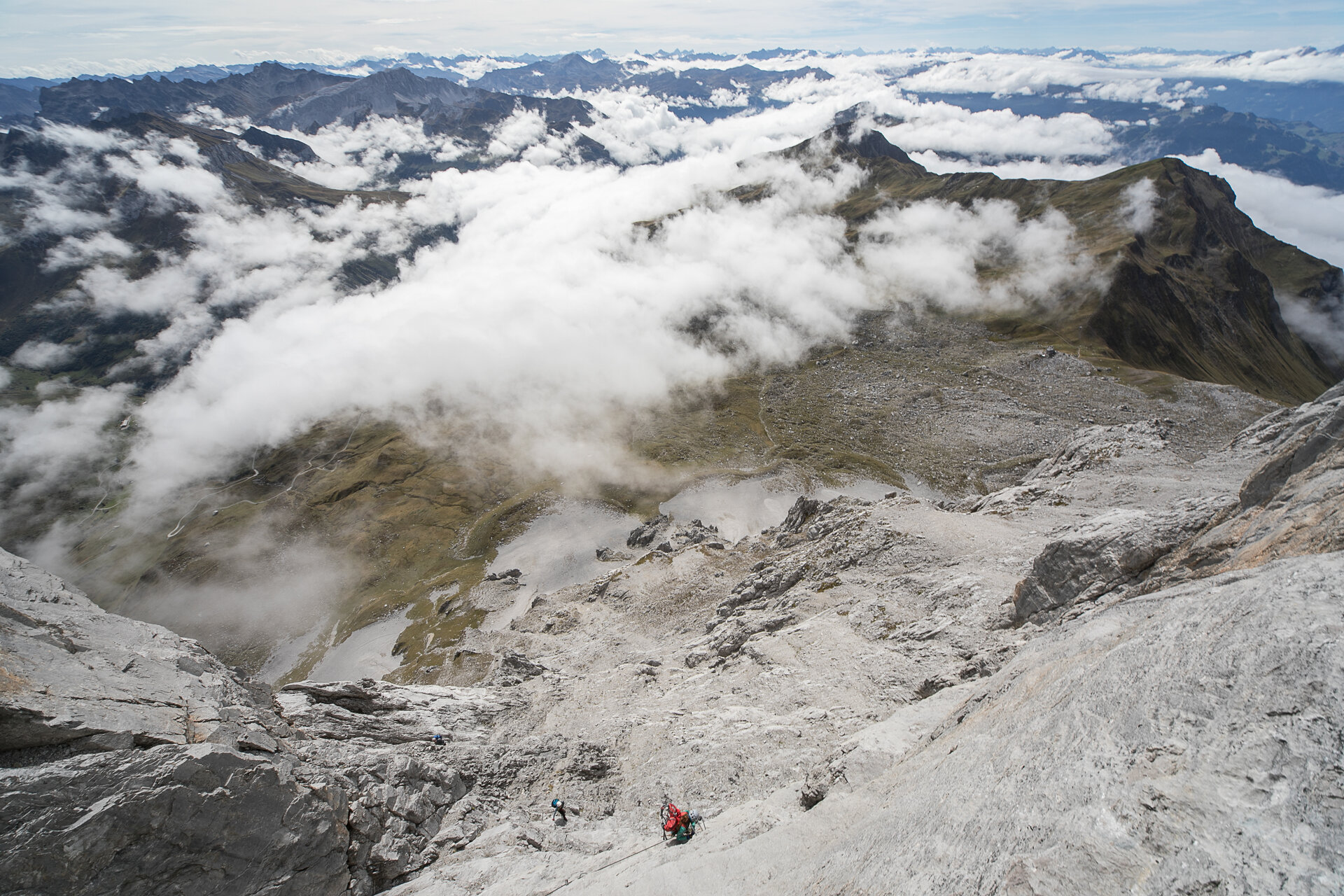
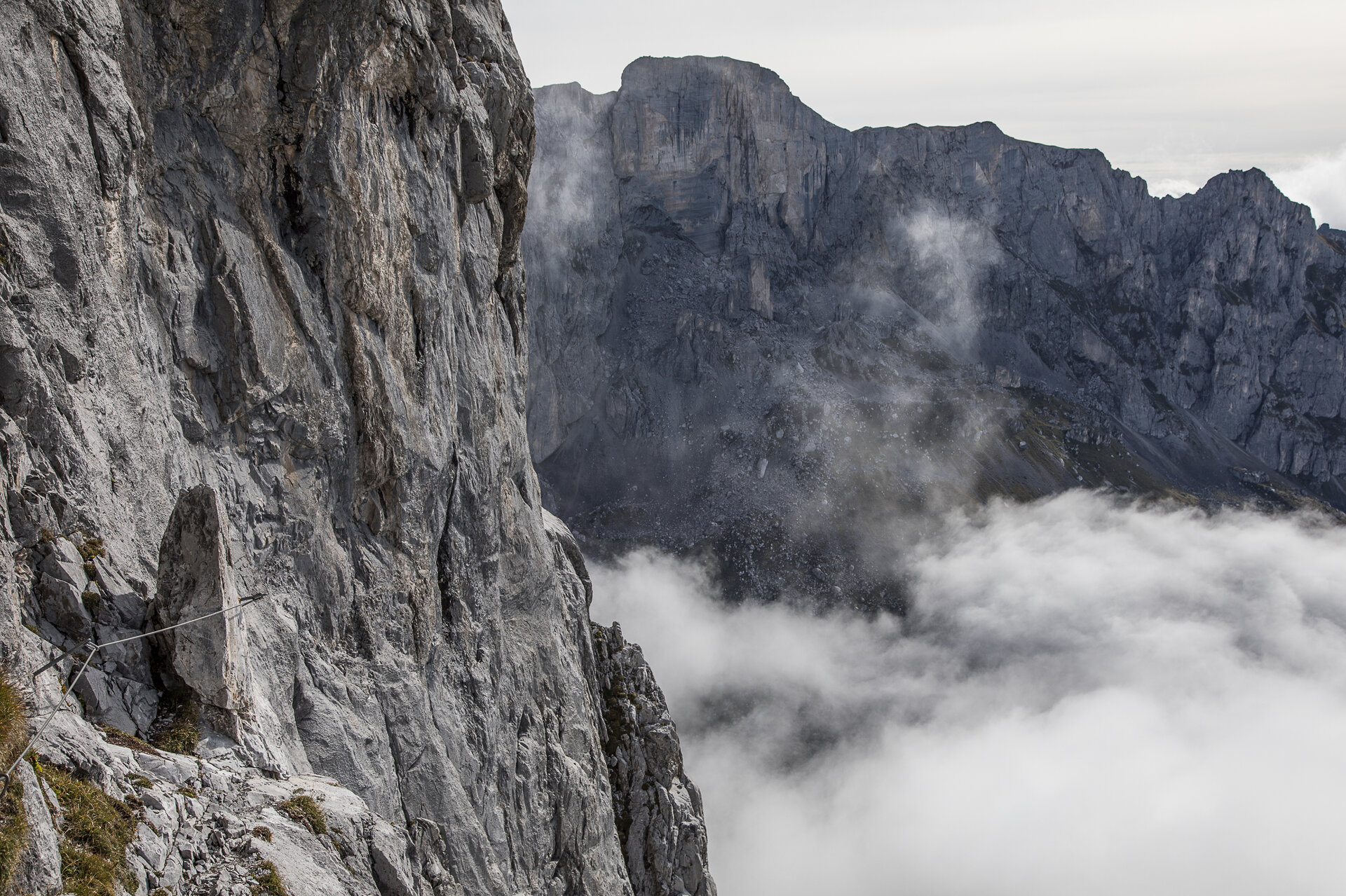
By now a classic via ferrata is the boldly laid South Wall Route through the Sulzfluh. Over slabs, bands, and through wall gorges, you climb the south wall of the Sulzfluh up to the summit cross. After the strenuous and exposed sections on the compact limestone walls (C/D), flatter bands follow offering the possibility to rest. The view of the rugged rock faces of the Rätikon and green alpine meadows in the valley bottom will surely amaze you.

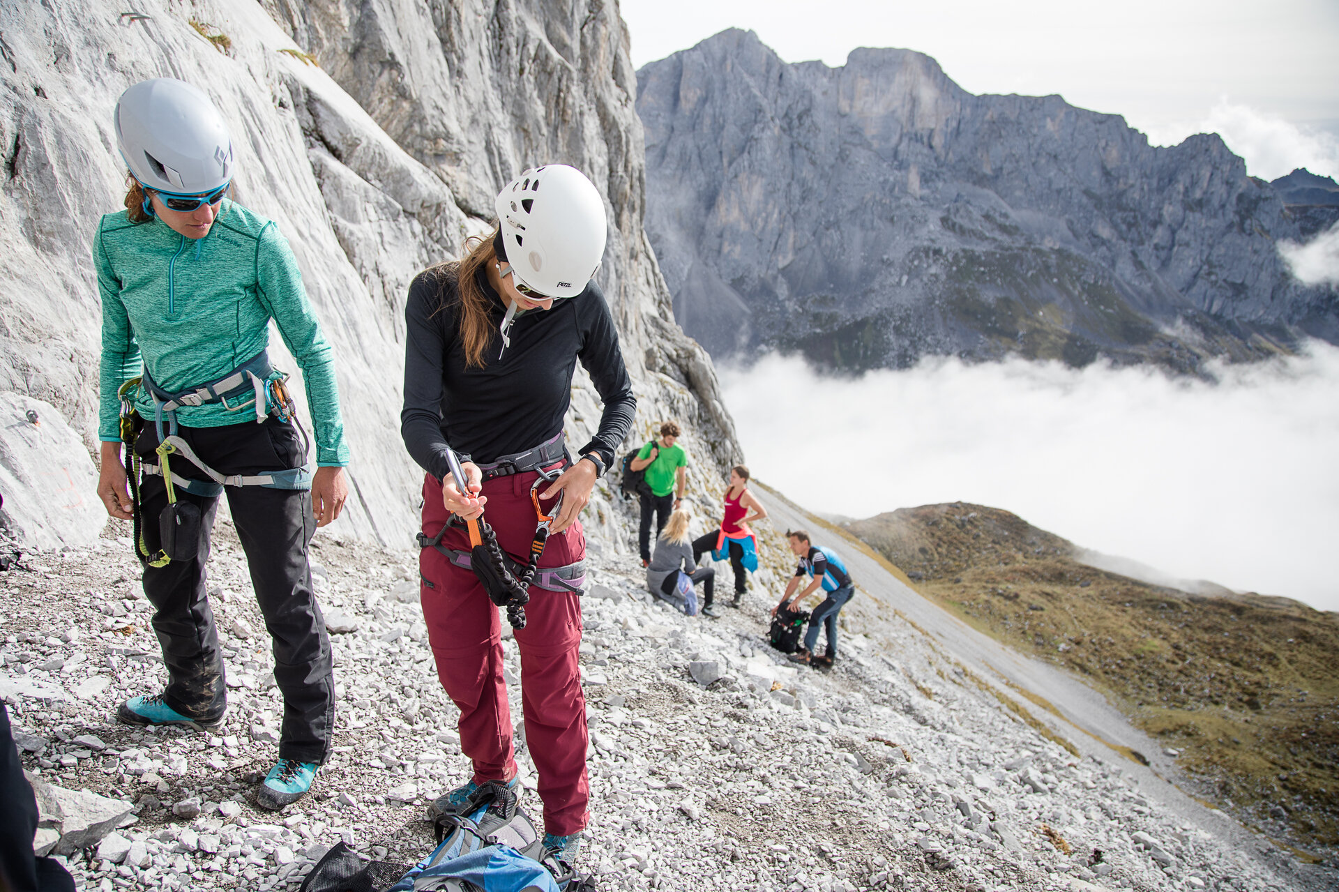
Approach: From the Tilisunahütte, follow a marked hiking trail over the Tilisunafürggeli towards the Carschinahütte. Under the south wall, a path branches off over grassy slopes and scree cones to the start (marked with a red E on a white plate on the wall).

Descent: From the summit, marked hiking trails lead back to the Tilisunahütte, the Lindauer Hütte, and also to the Swiss side of the Sulzfluh.

Sicherheitstipps für Wandern in Vorarlberg

EN NOTRUF:

EN 140 - Alpine Notfälle österreichweit 

EN 144 - Alpine Notfälle Vorarlberg 

EN 112 - Euro-Notruf (funktioniert mit jedem Handy/Netz) 

Properties
Route type Mountaineering, Klettersteig, Round trip
Difficulty Difficult
Elevation profile
Best months
Jan
Feb
Mar
Apr
May
Jun
Jul
Aug
Sep
Oct
Nov
Dec