Sulzfluh via ferrata

Difficult
open
Mountaineering · Klettersteig · Tschagguns
06:00 h duration
9,9 km Length in km
2816 m Highest point
2027 m Lowest point
904 m gain Ascent
910 m gain Descent
Stamina
Skill
Difficulty
Adventure
Scenery

Tour description

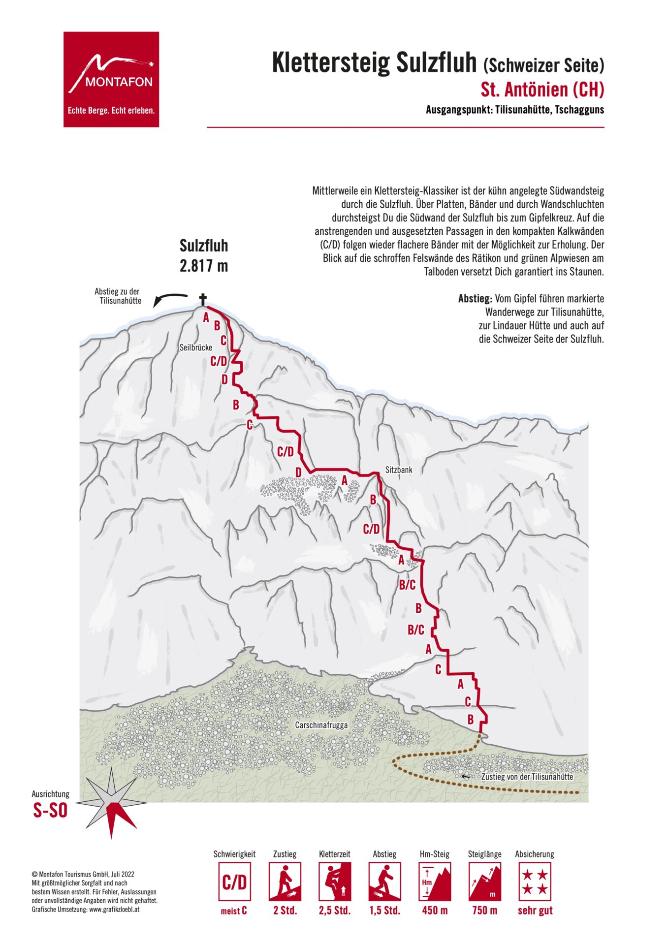
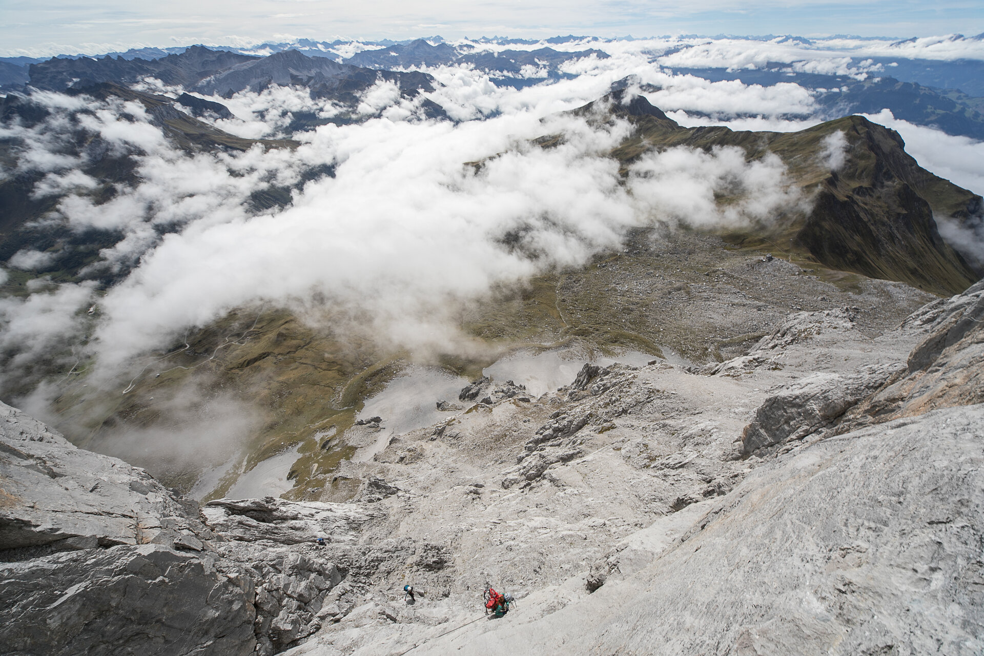
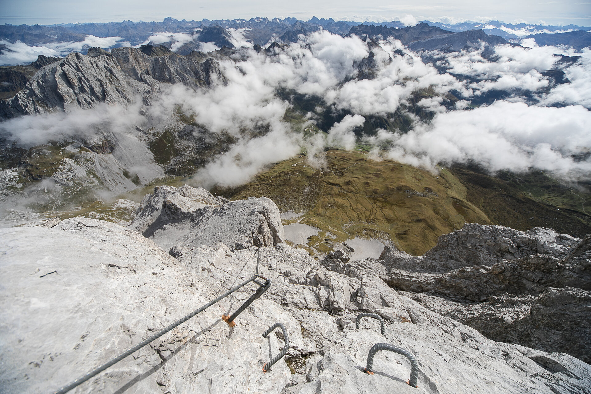
A classic Alpine via ferrata for ambitious via ferrata climbers. The route winds through the striking south face of the Sulzfluh and combines exposed climbing sections on compact limestone with flatter rock ledges where you can catch your breath.

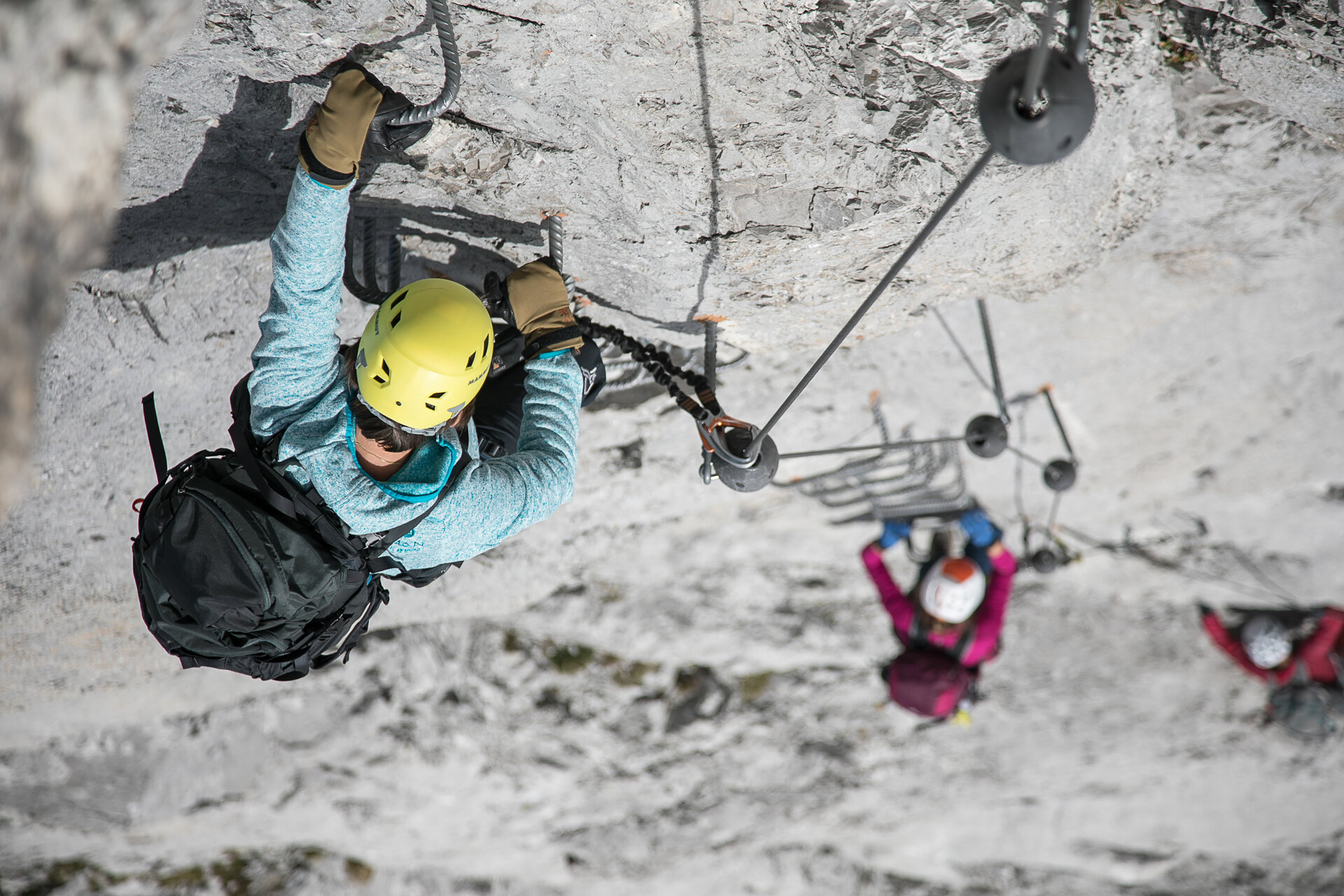
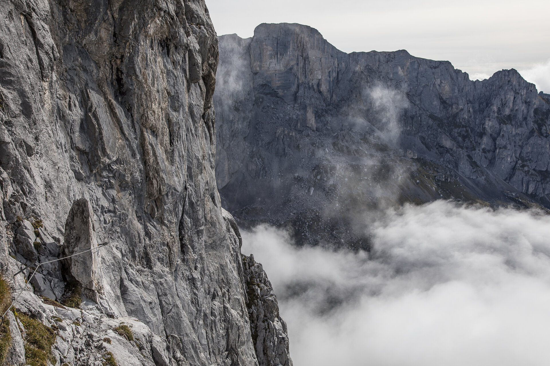
The Südwandsteig route leads over slabs, ledges, and through impressive wall gorges to the summit of the Sulzfluh. Steep and exposed sections rated C/D require strength, endurance, and sound climbing technique.

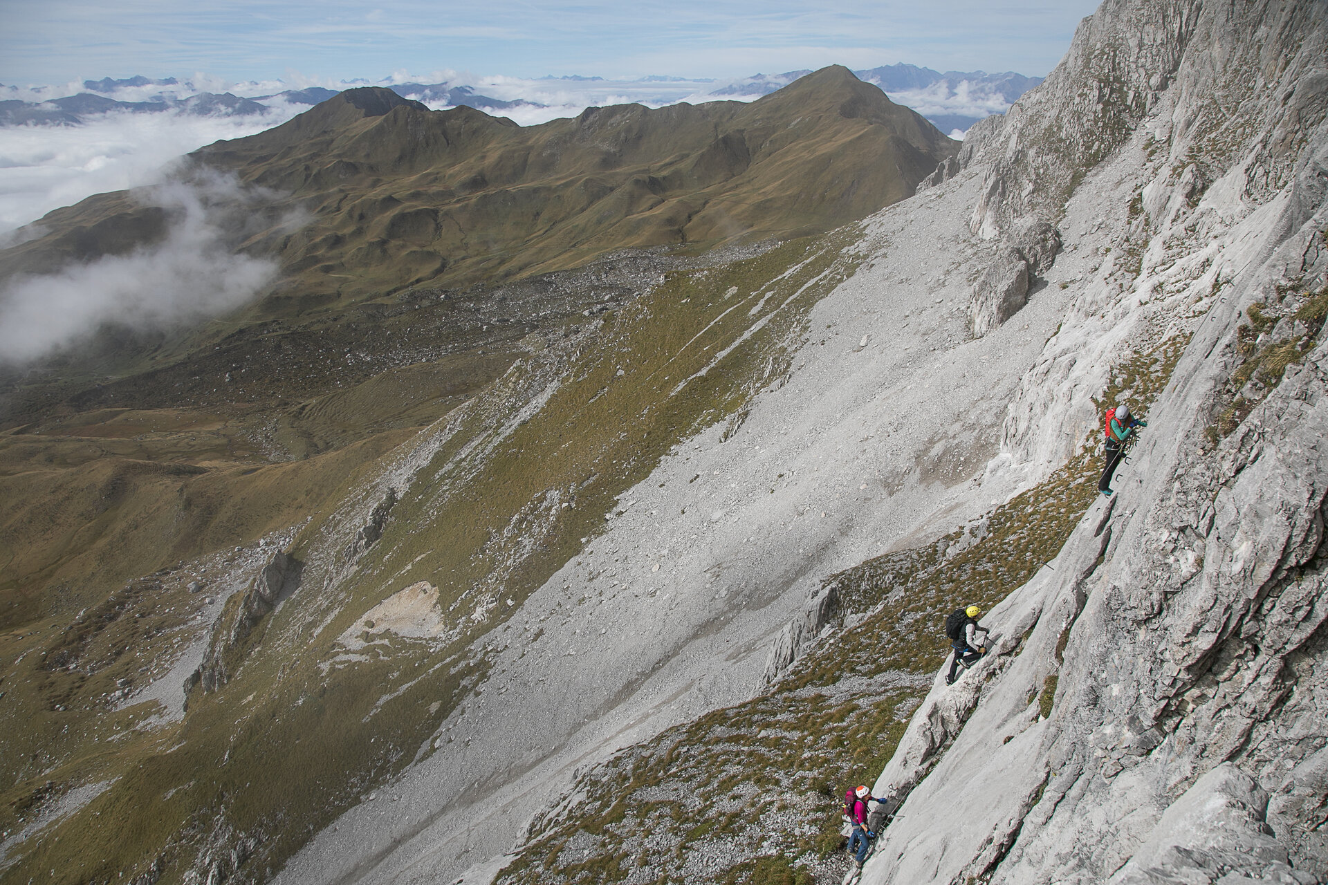
Between the challenging sections, flatter ledges offer brief opportunities to catch your breath. During the ascent, you’ll be treated to sweeping views of the rugged rock faces of the Rätikon and the green alpine meadows at the bottom of the valley.

Start - Directions - Descent

Approach

From the Tilisuna Hut, follow the marked hiking trail over the Tilisunafürggeli toward Partnun and the Carschina Hut. Below the south face, a trail branches off to the right across grassy slopes and scree to the start of the climb.
The start is marked with a red “E” on a white plaque on the rock face.

Route Description

The via ferrata leads through the steep south face of the Sulzfluh. Exposed slabs, vertical wall sections, and narrow gorges alternate with flatter rock ledges.
The most difficult sections reach a difficulty rating of C/D. Since there is no emergency exit along the route, sufficient strength and stamina for the entire via ferrata are absolutely essential. After the final climbing sections, you’ll reach the summit of the Sulzfluh.

Descent

From the summit, follow the marked hiking trail back to the Tilisuna Hut. Alternatively, marked trails also lead to the Lindauer Hut or to the Swiss side of the Sulzfluh.

Getting to the starting point

Getting to the Starting Point

We recommend Latschau as the starting point for the approach to the via ferrata. Please note that the hike to the Tilisuna Hut takes several hours.

By public transportation:

The Montafon regional bus and the Montafonerbahn provide convenient and flexible travel throughout the valley. Trains and buses run regularly between the towns, every half hour or every hour depending on the route. You can find the right connection here. Bus stop for the start/end of this tour: Latschau Golmerbahn

By car:

Take the A14 to the Bludenz/Montafon exit, then follow the Montafoner Straße L188 to Tschagguns and continue on to Latschau to the Latschau hiking parking lot (fee applies).

Important Information

You climb the via ferrata at your own risk and responsibility. Please check the weather, current conditions, snow conditions, and difficulty level in advance. Realistically assess your experience, surefootedness, ability to handle heights, and physical fitness.

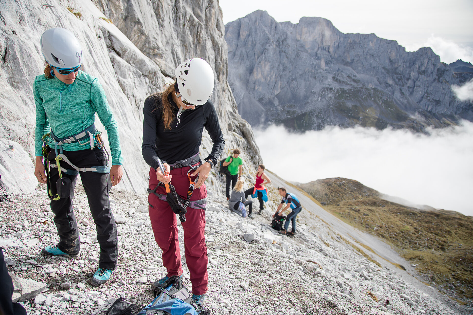
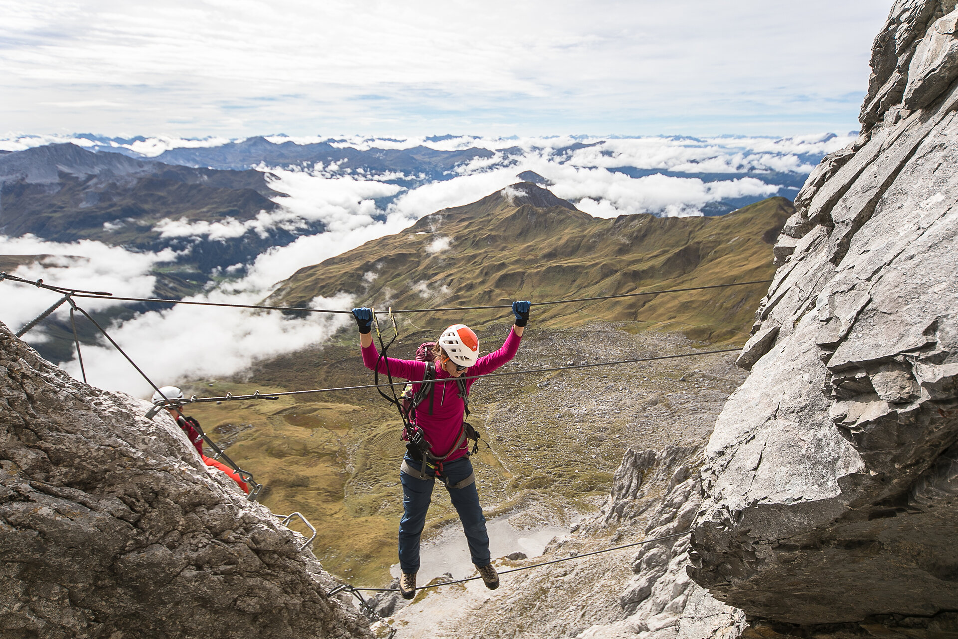
A complete set of standard-compliant via ferrata equipment is absolutely essential. This includes a hip belt, via ferrata set, helmet, and gloves. Equally important is appropriate footwear: sturdy, ankle-high hiking boots with good traction.

Your backpack should also include plenty of food, sun and rain protection, and a first-aid kit.

In the Montafon, you can rent high-quality via ferrata equipment at select sports shops. Please check in advance regarding availability, sizes, and reservation options.

Useful Tips

Since there is no emergency exit, sufficient strength and stamina for the entire hike are absolutely essential.

The tour is especially enjoyable when combined with an overnight stay at the Tilisuna Hut. This way, you can take the approach at a relaxed pace and spread the mountain experience over two days.

The approach to the Tilisuna Hut can also be done as a bike-and-hike tour.

Sicherheitstipps für Wandern in Vorarlberg

EN NOTRUF:

EN 140 - Alpine Notfälle österreichweit 

EN 144 - Alpine Notfälle Vorarlberg 

EN 112 - Euro-Notruf (funktioniert mit jedem Handy/Netz) 

Properties
Route type Mountaineering, Klettersteig
Difficulty Difficult
Start Tilisuna Chalet at 2,211 m
Finish Tilisuna Chalet at 2,211 m
Elevation profile
Best months
Jan
Feb
Mar
Apr
May
Jun
Jul
Aug
Sep
Oct
Nov
Dec