Tour description
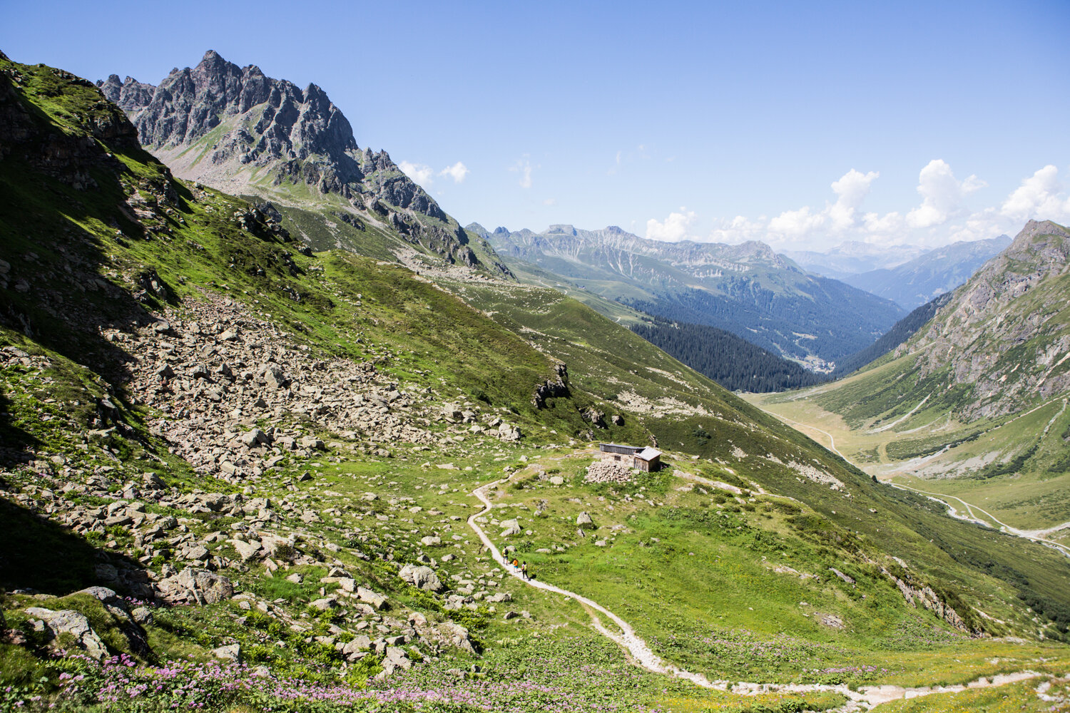
The historic trade route "Via Valtellina" runs from Tirano in Italy to Schruns in Montafon. On this section of the route from Schruns to the Schlappiner Joch in Montafon, among other things, the venerable stone walls in the Galgenul and Gargellen areas can be seen. A hike on a historic path!
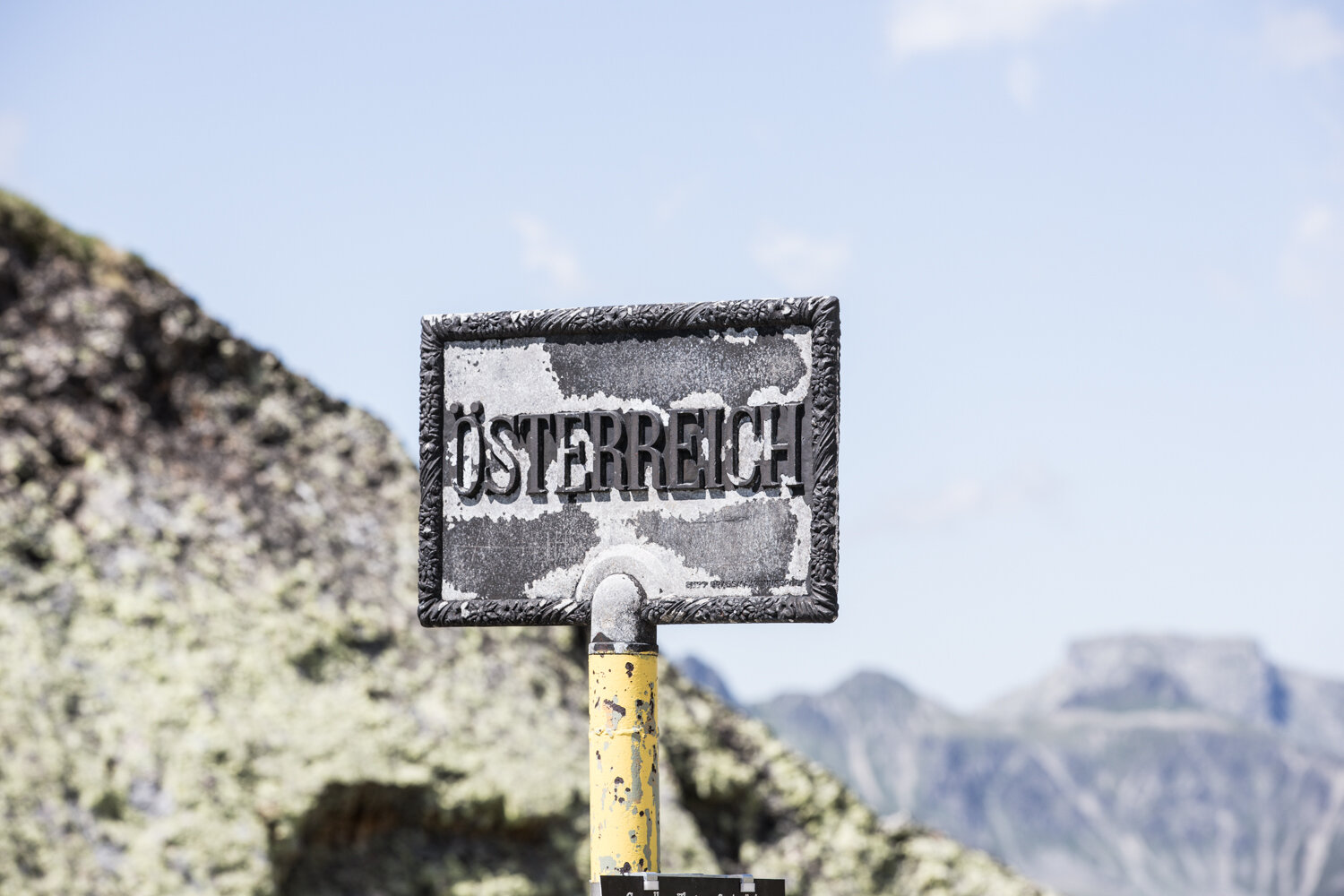
The entire Via Valtellina runs from Tirano in northern Italy over the Bernina Pass towards Davos and then further over the Schlappiner Joch into Montafon, where Schruns more or less serves as the destination hub of the Via Valtellina. This historic route played an important role in cross-border trade until after the mid-19th century.
This route lists the stages of Montafon.
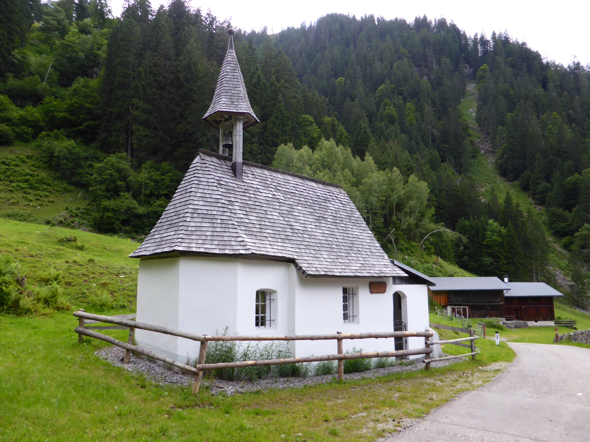
But where exactly does this trade route run? The Via Valtellina runs from Tirano through Val Poschiavo over the Bernina Pass towards Davos and then further over the Schlappiner Joch into Montafon, where Schruns more or less serves as the destination hub of the Via Valtellina. “The route played an important role in cross-border trade until after the mid-19th century. Large entrepreneurs, for example based in Davos, took care of transporting the goods,” says Montafon museum director Michael Kasper. Old paths and the remains of former inns on them recall the once heavily frequented trails. The emergence and expansion of railway traffic in general and the political situation of the Habsburg Empire as a result of the loss of Lombardy in particular stopped long-distance trade over the passes.
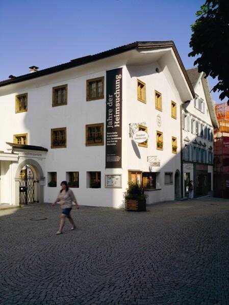
The book “Via Valtellina. Montafon” of the Montafoner series 16, which tells this section of the route in detail, is available in bookstores and all Montafon museums as well as online at www.montafoner-museen.at.