Mining path

Easy
Alpenmosaik - Verwall
Einkehrmöglichkeit
Familienfreundlich
Bergbahnauf-/-abstieg
Themenweg · Hiking · Alpine mosaic – Verwall · Alpine mosaic · Bergbahnauf-/-abstieg · Refreshment stops · Family-friendly · Silbertal
03:30 h duration
12,0 km Length in km
1588 m Highest point
684 m Lowest point
169 m gain Ascent
921 m gain Descent
Stamina
Skill
Difficulty
Adventure
Scenery

Tour description

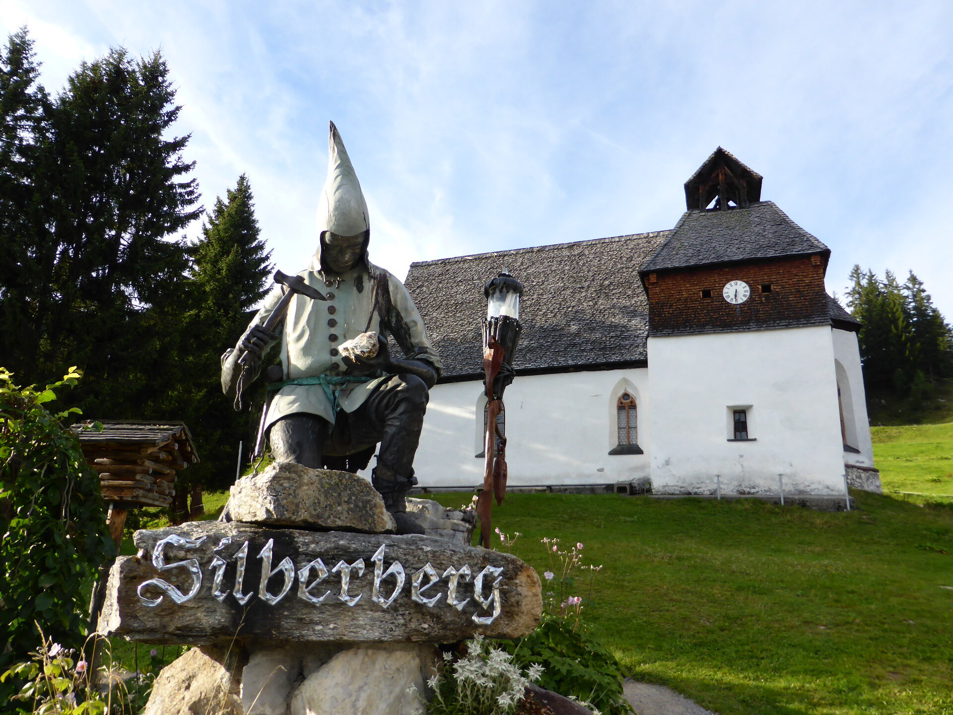
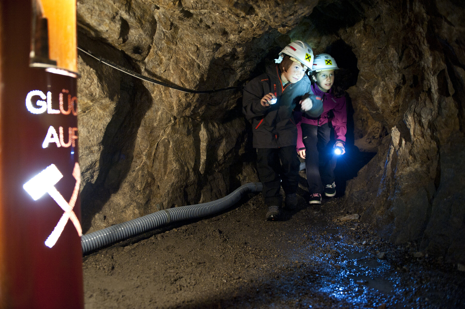
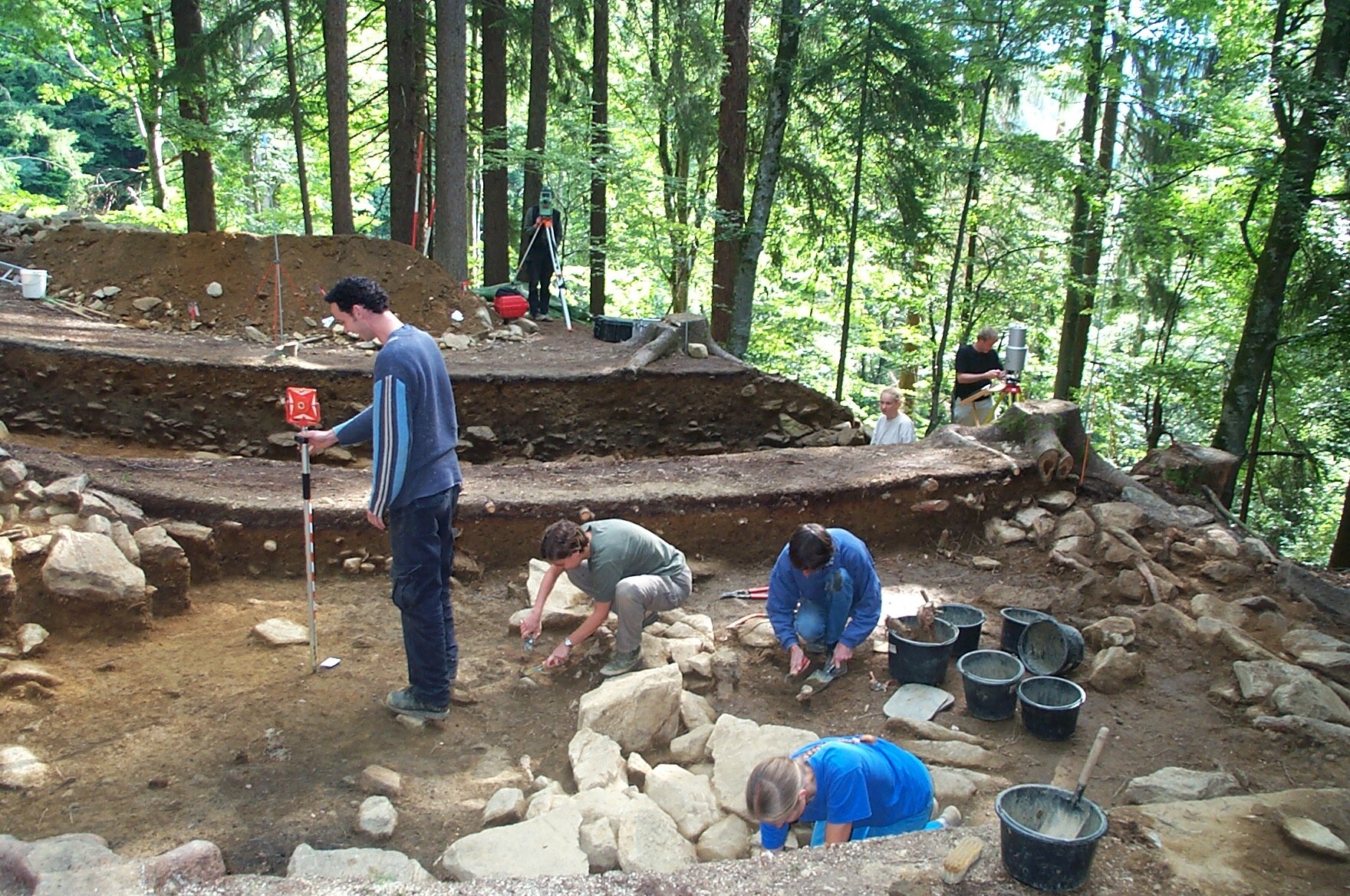
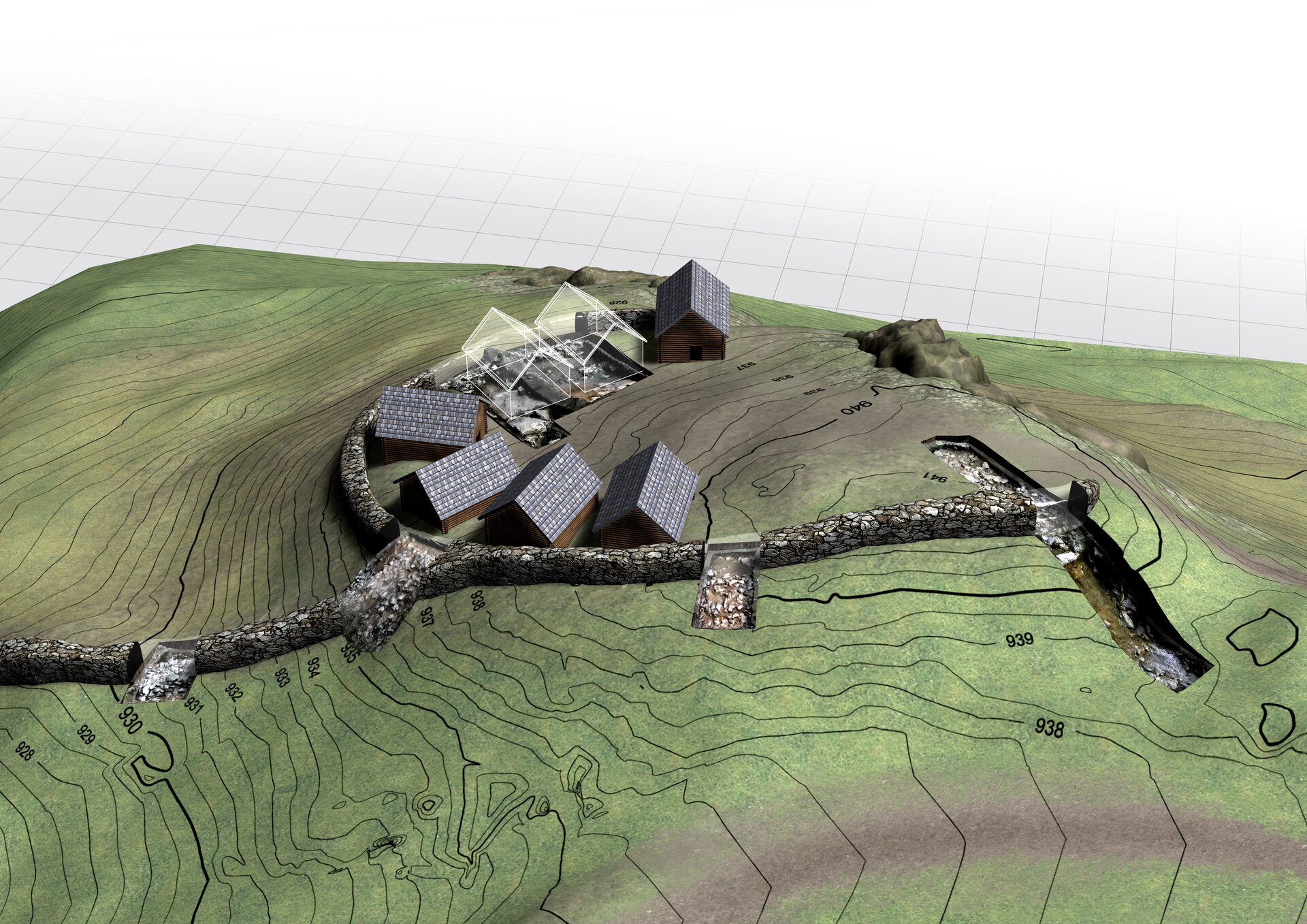
Following historic trails, the Bergknappenweg takes you through what was once Vorarlberg's most important mining region and to visible traces of medieval ore mining on the Kristberg and Bartholomäberg.

The Bartholomäberg and the Silbertal are rich in ores and were once part of Vorarlberg’s most important mining region. Mining flourished from the 13th to the 16th century, though its origins likely date back even further. Today’s cultural landscape was also shaped by this era, as intensive agricultural activity developed around the mining areas to supply the miners.

Today’s Bergknappenweg trail likely follows a historic route that miners used to travel from the settlement area to the higher-altitude mining sites. Information panels along the trail provide interesting facts about early settlement and the history of mining on the Bartholomäberg. Since 2012, part of this historically significant area has been protected as a cultural monument.

What is the Montafon Alpine Mosaic?

The Montafon Alpine Mosaic showcases the scenic diversity of the Montafon region. Four exploration areas—Verwall, Silvretta, Rätikon, and the valley—illustrate how geology, nature, and the cultural landscape are interconnected.

Along 34 themed trails, you can discover the unique features of these diverse landscapes. Starting points, themes, and stories along the trails continually offer you new perspectives on the Montafon.

So: Choose an exploration area, lace up your hiking boots, and discover the diversity of the Montafon step by step.

You can find more information about the Montafon Alpine Mosaic HERE.

Starting Point - Directions - End Point

Starting Point
Silbertal, upper station of the Kristbergbahn

Directions
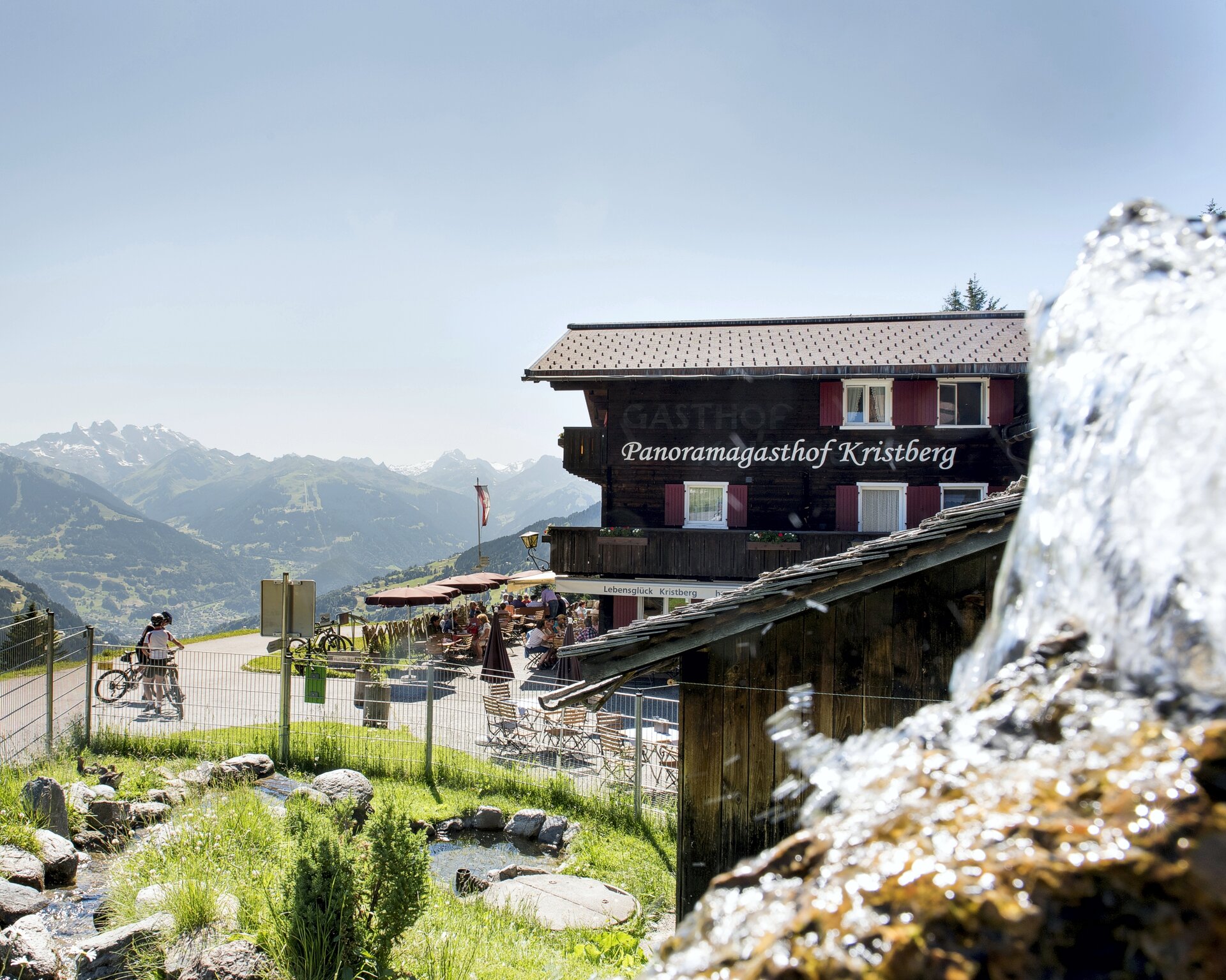
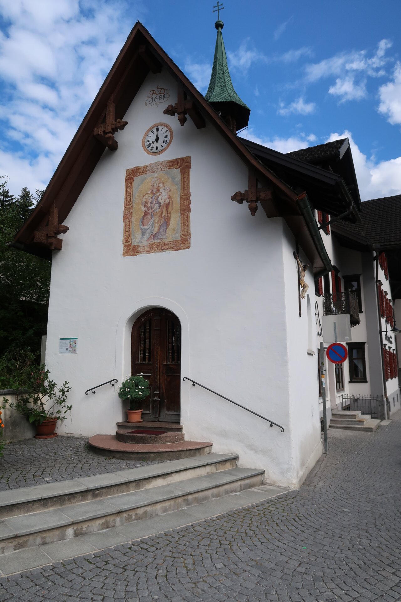
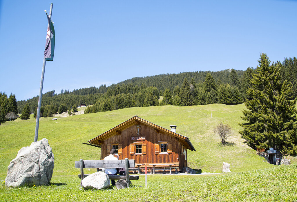
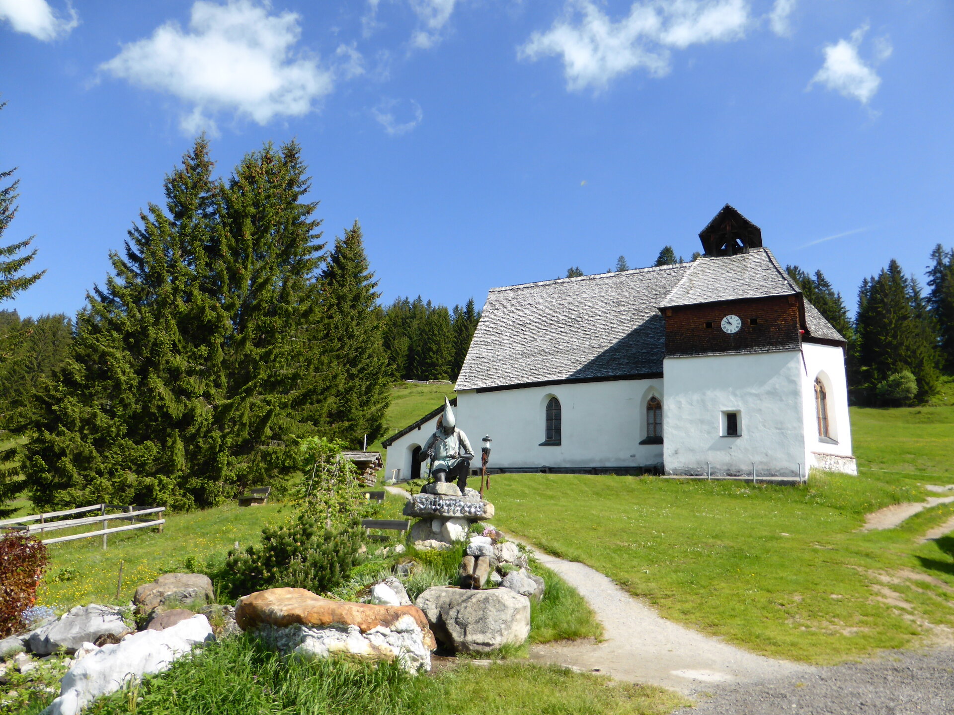
From the Kristbergbahn mountain station, hike past the Knappastoba and the Panoramagasthof Kristberg to the Bergknappenkapelle. Below the chapel, the trail leads uphill into the forest toward the Ganzaleita viewpoint. The viewpoint is slightly off the trail and can be reached in about ten minutes.

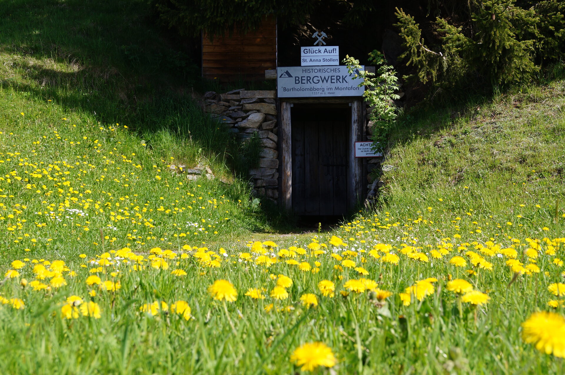
You then continue hiking through the forest until you reach a gravel road again. Follow this road to Fritzensee. From there, the trail leads downhill toward the center of Bartholomäberg, passing the historic mine and several stops along the Bergknappenweg.

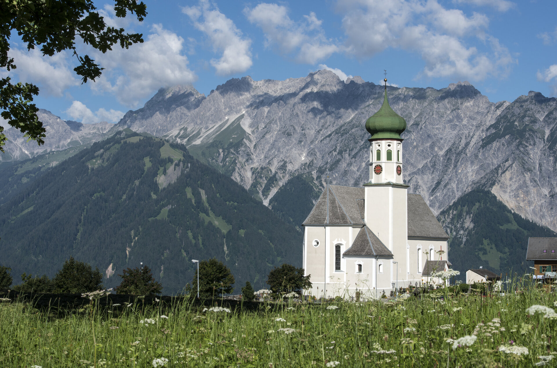
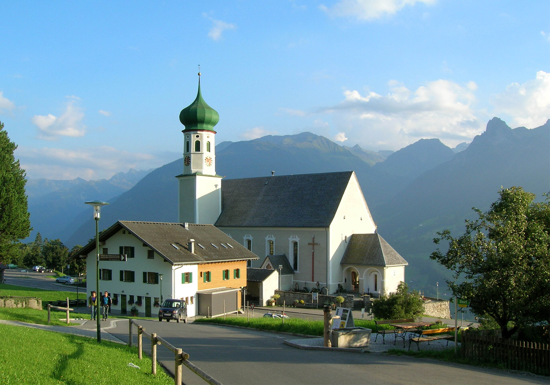
From the Baroque Church of St. Bartholomew, you continue hiking downhill toward Schruns. Passing Montjola and other stops along the Miners’ Trail, you’ll eventually reach the Litz Chapel in Schruns.

End Point
Schruns, downtown

Getting to the starting point

Getting to the Starting Point
The starting point for the tour is the Kristbergbahn mountain station in Silbertal. Please note the Kristbergbahn’s operating hours.

By public transportation:
The Montafon regional bus and the Montafonerbahn provide convenient and flexible transportation throughout the valley. The train and bus connect the towns regularly, every half hour or every hour depending on the route. You can find the right connection HERE. Bus stop at the start: Silbertal Kristbergbahn / Bus stop at the end: Schruns Train Station

By car:
Take the A14 to the Bludenz/Montafon exit, then follow Montafonerstraße L188 to Schruns. From there, take the access road to Silbertal. Paid parking is available at the Kristbergbahn valley station.

Important Information

For this hike, we recommend ankle-high hiking boots with good traction. Hiking poles can be especially helpful on longer descents.

On hot days, you should also bring a hat and plenty of sunscreen.

Tips

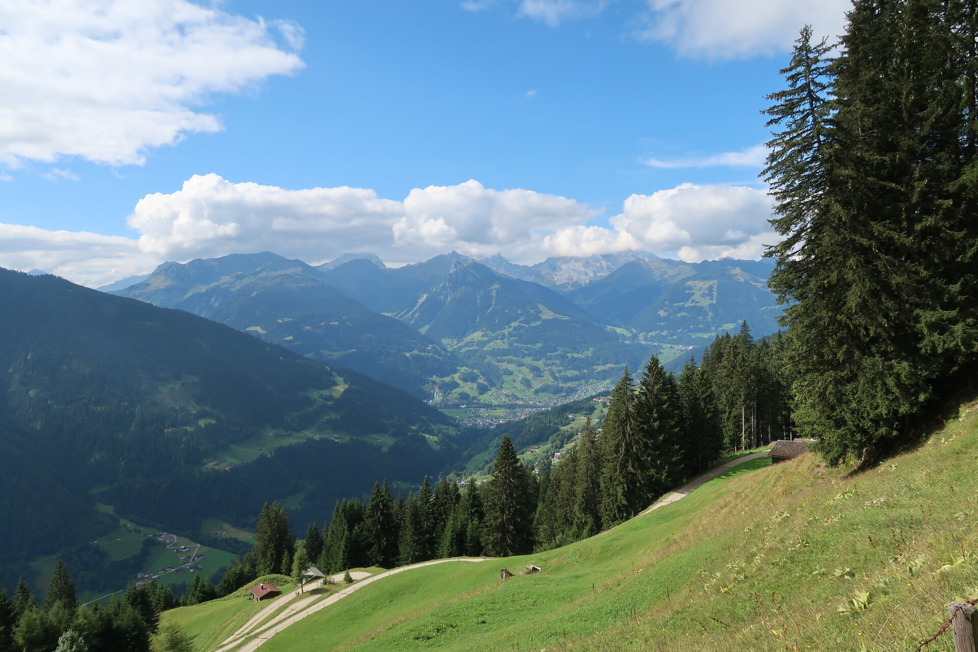
Fritzensee offers a sweeping view of the Montafon and is a great spot to take a break along the way.

If you’d like to delve even deeper into the region’s mining history, you can explore the highlights of the hike in greater detail at the Frühmesshaus Bartholomäberg Museum.

You can find further information about the Verwall European Protected Area and its unique habitats HERE.

Sicherheitstipps für Wandern in Vorarlberg

EN NOTRUF:

EN 140 - Alpine Notfälle österreichweit 

EN 144 - Alpine Notfälle Vorarlberg 

EN 112 - Euro-Notruf (funktioniert mit jedem Handy/Netz) 

Properties
Route type Themenweg, Hiking, Alpine mosaic – Verwall, Alpine mosaic, Bergbahnauf-/-abstieg, Refreshment stops, Family-friendly
Difficulty Easy
Start Öffentliche Toiletten Kristbergbahn Bergstation
Finish Ortszentrum
Elevation profile
Best months
Jan
Feb
Mar
Apr
May
Jun
Jul
Aug
Sep
Oct
Nov
Dec