Tour description
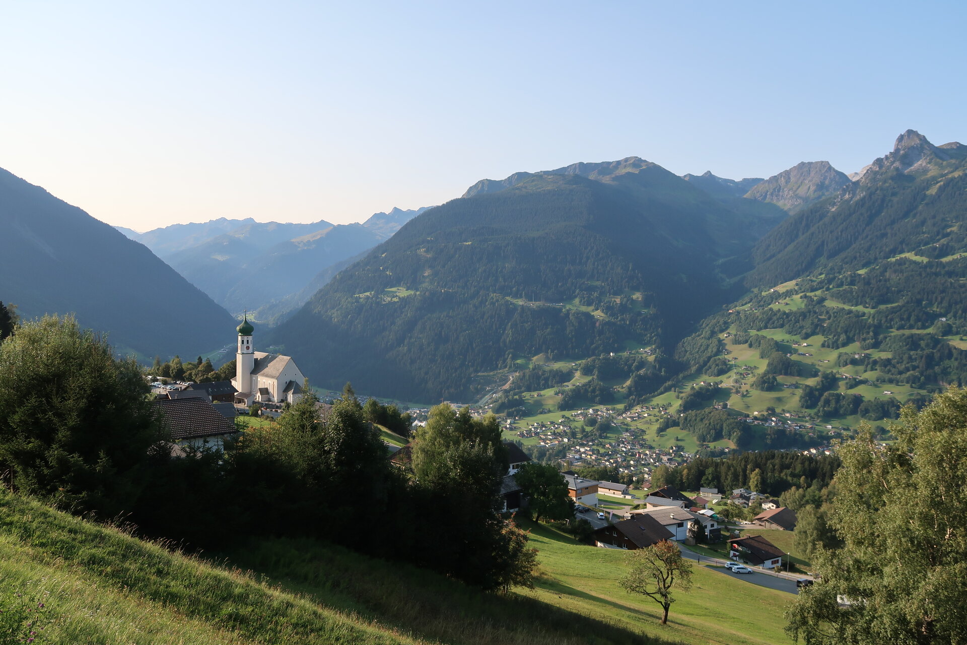
The Geological Educational Trail is a circular route that can be walked in either direction and also allows for partial walks or shortcuts via marked paths. The starting and finishing point is the car park by the church in Bartholomäberg at an altitude of 1,087 metres.
The walk provides insights into the bedrock that has formed the basis for human life and economic activity in this region for over 4,000 years. In addition to the geological insights, you will also find information along the way about the surrounding mountain and valley landscapes, as well as details on the cultural landscape, cultural and technical structures, and mining activity.
The circular trail is suitable for families, although it is expressly noted that there are options for partial walks and shortcuts in view of the total length. The walking time alone is approximately five hours; if you wish to make the most of the information available, you should allow a full day.
From Bartholomäberg church, follow the signs along the tarmac path past the village shop and the school, via the former “Linde” inn, to Rellseck. From there, continue along the marked path via Monteneu to the Wannaköpfle at an altitude of 2,032 metres. Here you have a magnificent view of the Silvretta and the Rätikon, across the Walgau into the Rhine Valley, to the edge of the Alps and the Walsertal mountains, as well as the Lech headwaters and the Verwall.
From the Wannaköpfle, the route descends gently to the crossing of the Karkessel below the Itonskopf – climbing this peak is recommended only for experienced hikers with a head for heights.
The geological nature trail in Bartholomäberg was opened in 1978. The fully signposted alpine hiking trail across the Monteneu mountain range is a circular route that begins and ends at the church in Bartholomäberg. It is almost 16 kilometres long and takes around 10 hours to complete. Of this, approximately five hours is pure walking time. The information boards along the trail provide an insight into 1,000 million years of the Montafon’s geological history. Various types of rock, their age, formation and composition are explained. At the same time, the geological structure of the surrounding mountain ranges is described, providing an insight into the formation and erosion of the rocks and mountains.
The brochure is available from the Montafon Local History Museum for a nominal fee of 1 euro; the information boards along the trail are currently being revised by the author, DDr. Heiner Bertle, and his team; the audio files, originally produced for another project between 2006 and 2009, are available for download in their unedited form as MP3 files at https://www.stand-montafon.at/ as unedited MP3 files for download.