From the Lower Gaflunaalpe over Alpguessee to Hochjoch

Difficult
Einkehrmöglichkeit
Rundtour
Hiking · Refreshment stops · Round trip
06:02 h duration
15,4 km Länge
2372 m Höchster Punkt
1354 m Tiefster Punkt
1426 hm Aufstieg
495 hm Abstieg
Kondition
Schwierigkeit
Erlebnis
Landschaft

Tourbeschreibung

Hiking bus stop - Lower Gaflunaalpe - Lower Dürrwaldalpe - Alpguesalpe - Lower and Upper Alpguessee - Piziguter ridge - Wormser Törl - Grasjoch (Furkla) - Kreuzjoch - Wormser hut - Bergstation Sennigrat cable car
Approach

Take the A14 to the Bludenz/Montafon exit and continue on Montafonerstraße L188 to Schruns. From Schruns you reach Silbertal.

Public transport

Just leave your car standing

The regional buses operate throughout the Montafon. The main lines run every half hour from Schruns station.

Bus stop at the start/finish of the route: Silbertal Kristbergbahn / Line 680

The boarding point of the hiking bus is just a few meters further into the valley. Behind the large Kristbergbahn car park is the fire station, which is also the departure point.

Timetable: www.vmobil.at

Arrival by train to Montafon

From Bludenz station, the Montafonerbahn runs hourly (partly half-hourly). There are also direct connections from Lindau (D) and from Bregenz.

Timetable: www.oebb.at

Parking

Car park at the Kristbergbahn valley station Silbertal (paid)

Directions

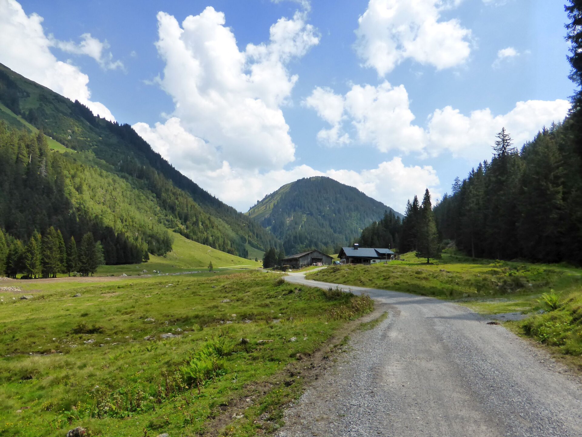
You take the hiking bus to the stop near the Lower Gaflunaalpe. Then you continue on foot with a gentle uphill walk further into the valley. The signage indicates that you will reach the Lower Dürrwaldalpe in 35 minutes. You reach the junction "Lower Dürrwaldalpe". Turn right and follow the wide path further. Shortly after, you pass the Lower Dürrwaldalpe. The wide path continues uphill to the Alpguesalpe. Here you have earned yourself a break. Note that the Alpguesalpe is not a managed alpine farm. From the Alpguesalpe, two paths branch off in different directions. Choose the path leading to the "Wormser Höhenweg/Roßberg". After a while, you reach the Lower and shortly after the Upper Alpguessee. The view from this height is already very impressive. Soon you reach the Wormser Höhenweg. From the ridge, you can already look across to the other side of the valley, into the Innermontafon. The first descent begins. You go down the valley in a zigzag. Afterwards, you continue over scree (the marking is clearly visible) along the Piziguter ridge. Then a slight ascent begins to the junction to Scheimersch. The ascent of Scheimersch is only recommended for experienced hikers with a head for heights and sure footing. You hike around Scheimersch and shortly after reach the "Wormser Törl". An information board with interesting details about the Verwall European protected area can be viewed. Another gentle descent leads further to the Grasjoch hut in the Grasjoch/Furkla area. Here the other path from the Alpguesalpe comes up. The signpost indicates that you will reach the Kreuzjoch after 1 1/4 hours. The final ascent of this hike begins. Along the ski slope, you walk uphill, and the summit cross of the Kreuzjoch is already clearly visible at the end. The short climb to the summit cross of Kreuzjoch is easily manageable without problems. A wonderful view over the Außer Montafon lies at your feet. The stopover at the Wormser hut is also not far away. You can either choose the ridge path or the road to get to the Wormser hut. After this demanding hike, the road is certainly the easier way. The Wormser hut is nestled in a hollow. From the Wormser hut, you reach the Bergstation of the Sennigrat cable car on an easy path after 10-15 minutes. With the 2-seater chairlift, you make the first descent and then reach Kapell. With the Hochjoch cable car, you return to the valley, to Schruns.

Equipment

Sturdy and high footwear with good tread sole. A head covering, sun protection, and hiking poles are recommended, as well as carrying sufficient food and drinks.

Tips

Silbertal hiking bus:

The Silbertal hiking bus runs from mid-June to mid-September every Tuesday & Friday from the Silbertal fire station to the Lower Gaflunaalpe. Advance booking by 5 p.m. the day before at the Silbertal tourism office, Tel. +43 50 6686 230 is absolutely necessary. The hiking bus is not included in the Montafon-Brandnertal-Card multi-day summer or season ticket.

Destination

Schruns, Hochjoch cable car upper station

Starting Point

Silbertal, hiking bus stop, near the Lower Gaflunaalpe

Sicherheitstipps für Wandern in Vorarlberg

EN NOTRUF:

EN 140 - Alpine Notfälle österreichweit 

EN 144 - Alpine Notfälle Vorarlberg 

EN 112 - Euro-Notruf (funktioniert mit jedem Handy/Netz) 

Eigenschaften
Routentyp Hiking, Refreshment stops, Round trip
Schwierigkeit Difficult
Höhenprofil
Beste Jahreszeit
Jan
Feb
Mär
Apr
Mai
Jun
Jul
Aug
Sep
Okt
Nov
Dez