Aquaweg

Easy
Alpenmosaik - Rätikon
Einkehrmöglichkeit
Familienfreundlich
Kinderwagentauglich
Rundtour
Themenweg · Hiking · Alpine mosaic – Rätikon · Alpine mosaic · Refreshment stops · Round trip · Family-friendly · Suitable for prams · Tschagguns
03:20 h duration
11,1 km Length in km
1122 m Highest point
993 m Lowest point
190 m gain Ascent
190 m gain Descent
Stamina
Difficulty
Adventure
Scenery

Tour description

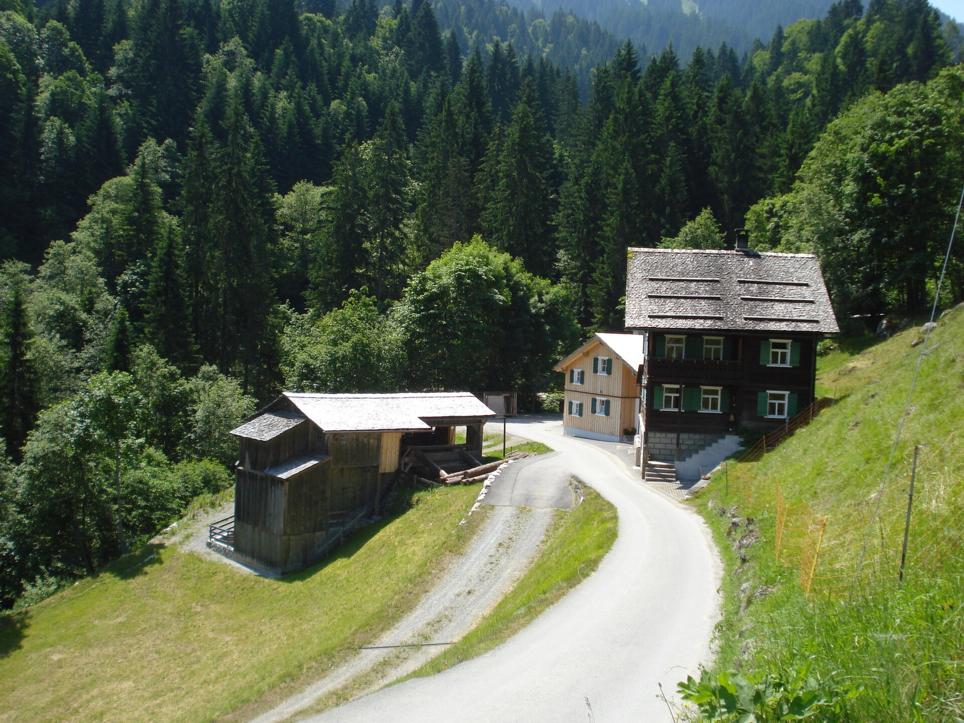
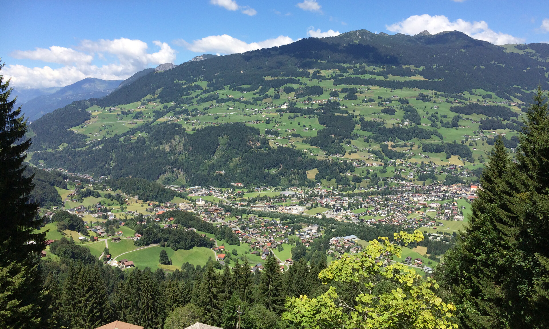
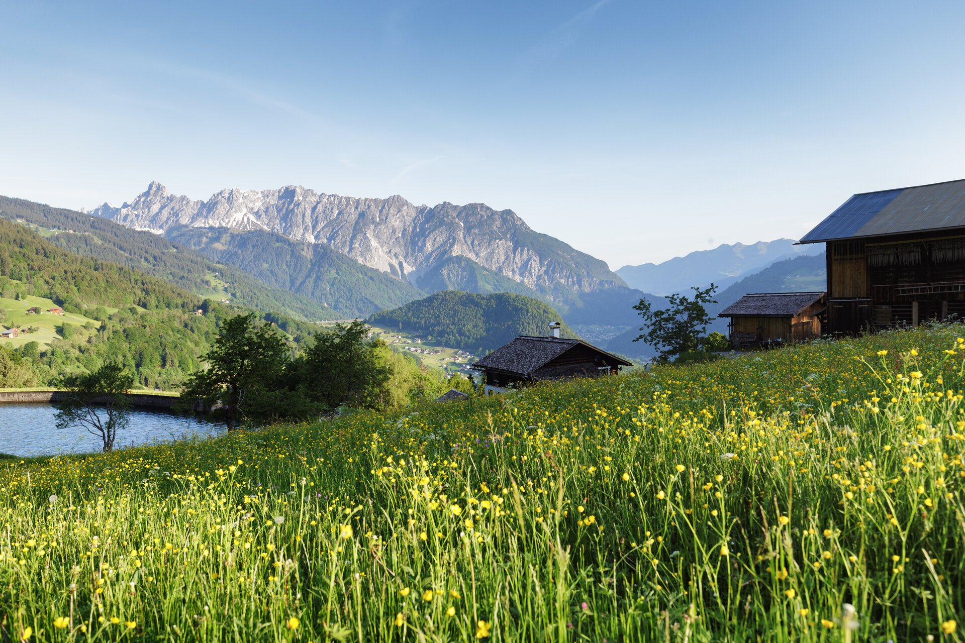
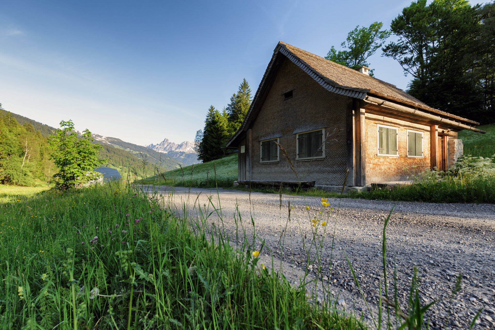
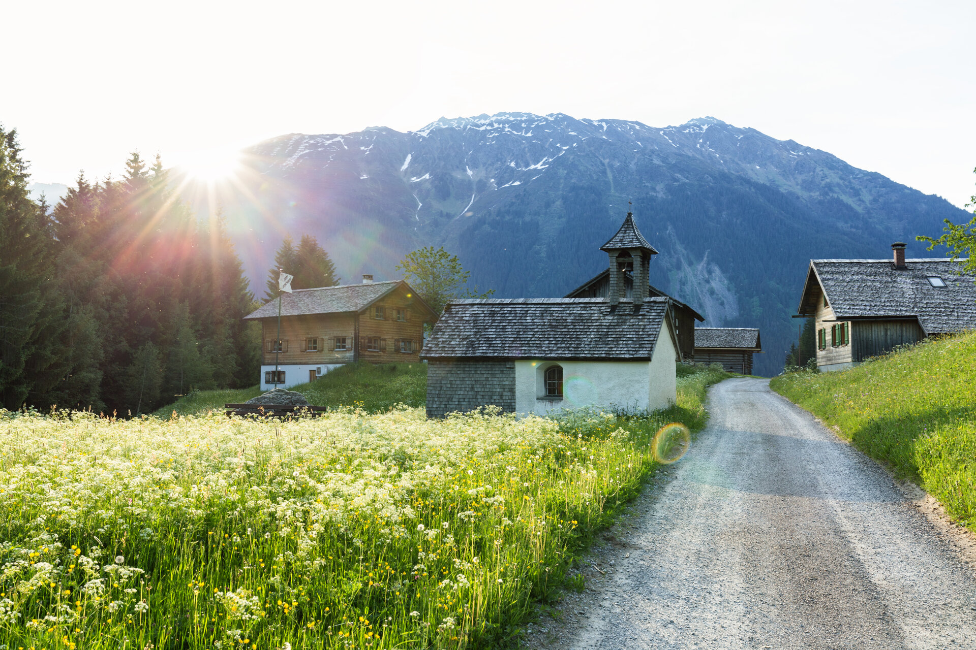
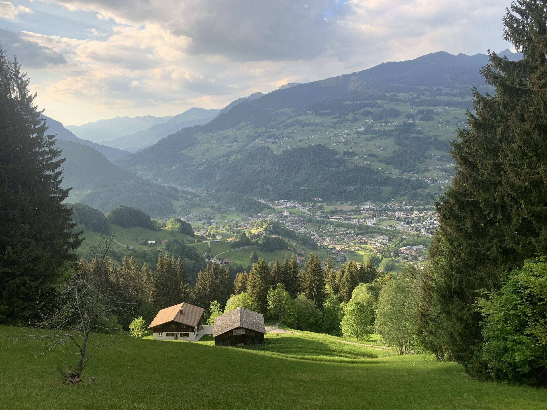
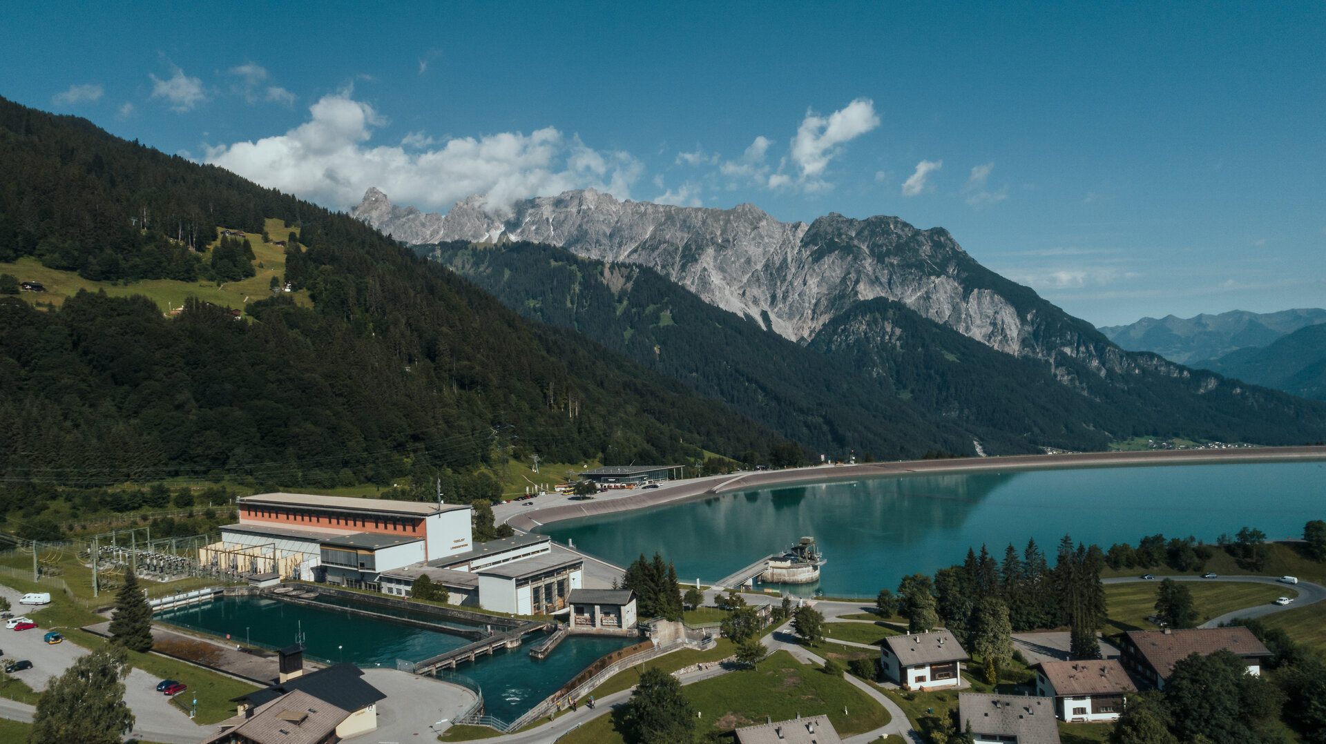
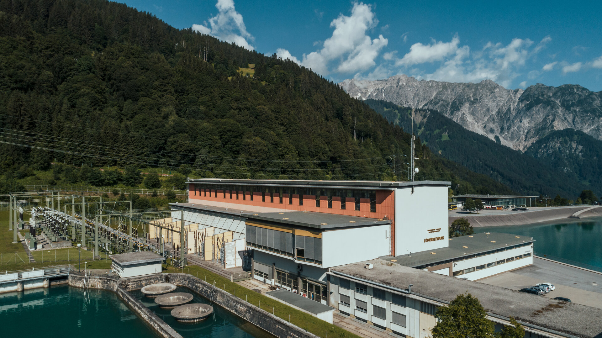
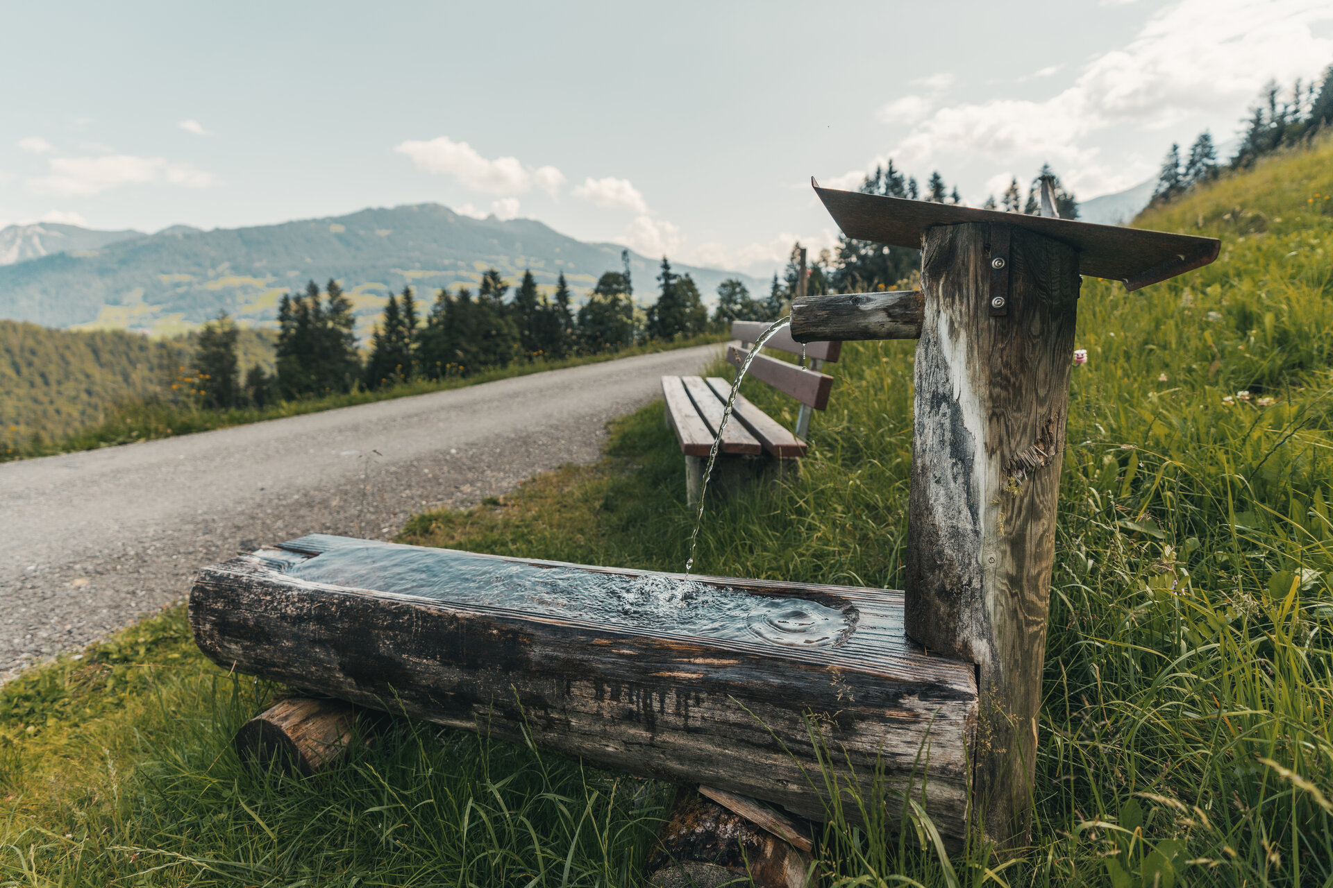
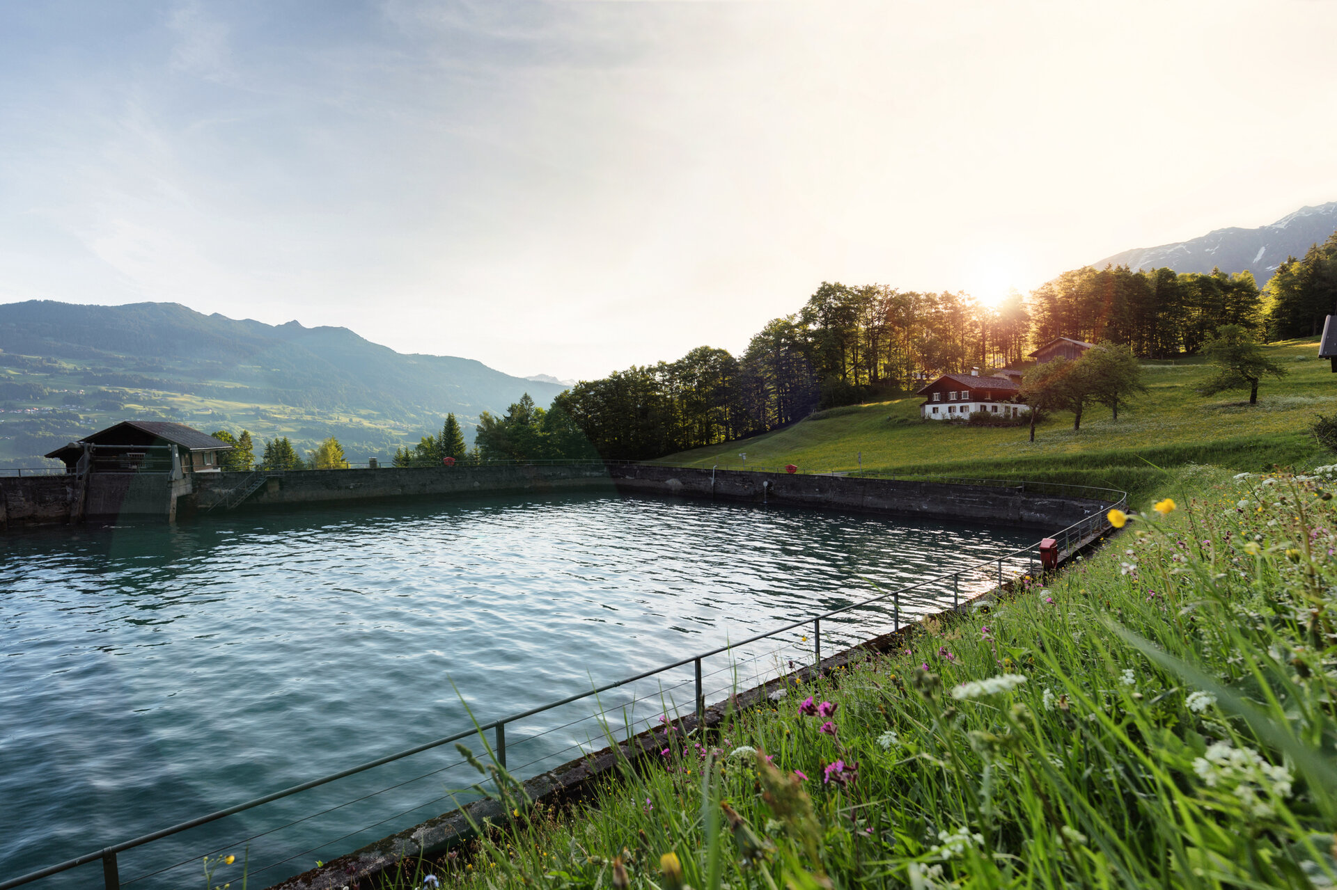
The Aquaweg shows you the many ways in which water from the Montafon mountains is used and takes you through forests and meadows with beautiful views of Schruns and the Hochjoch.

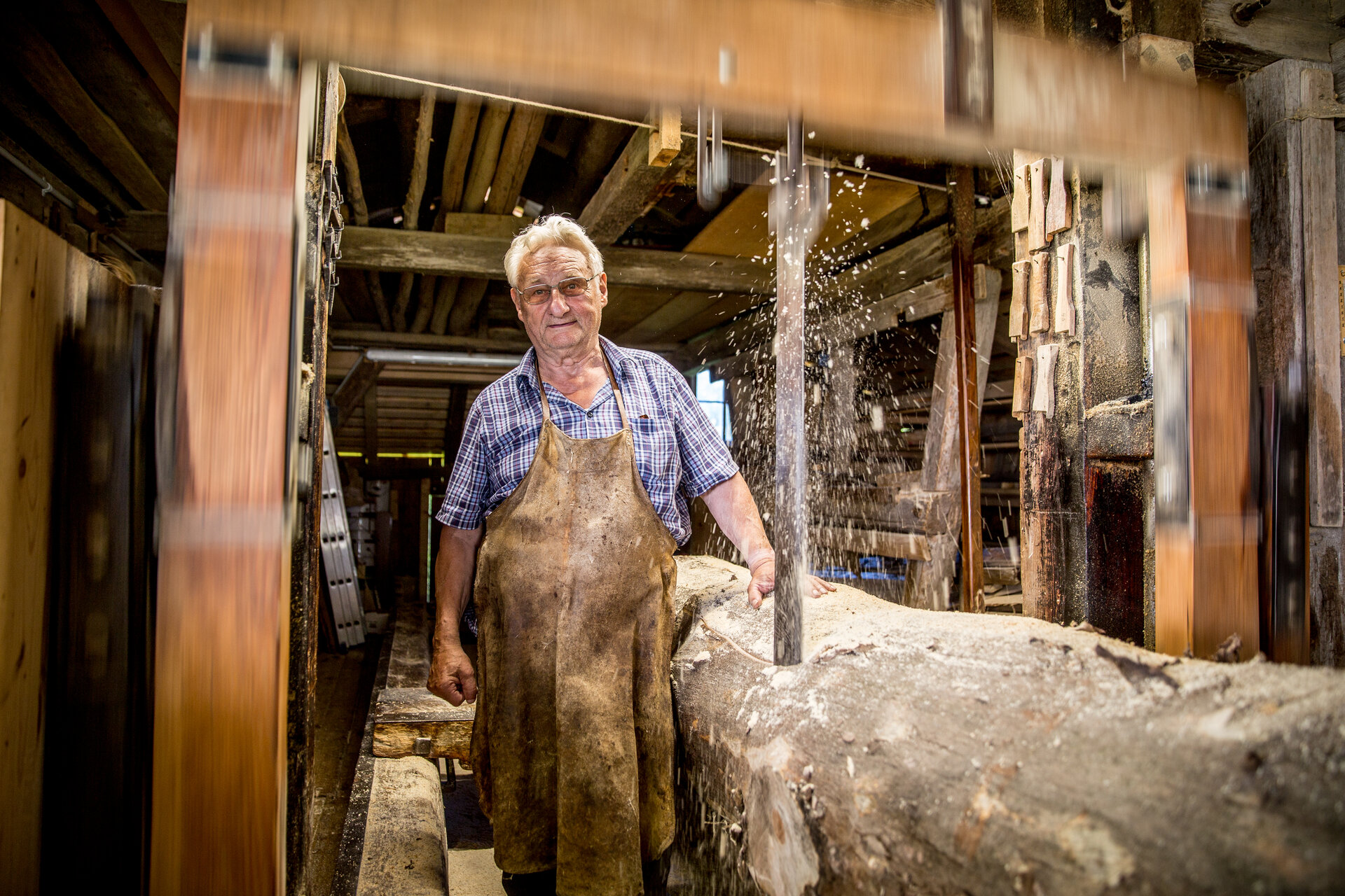
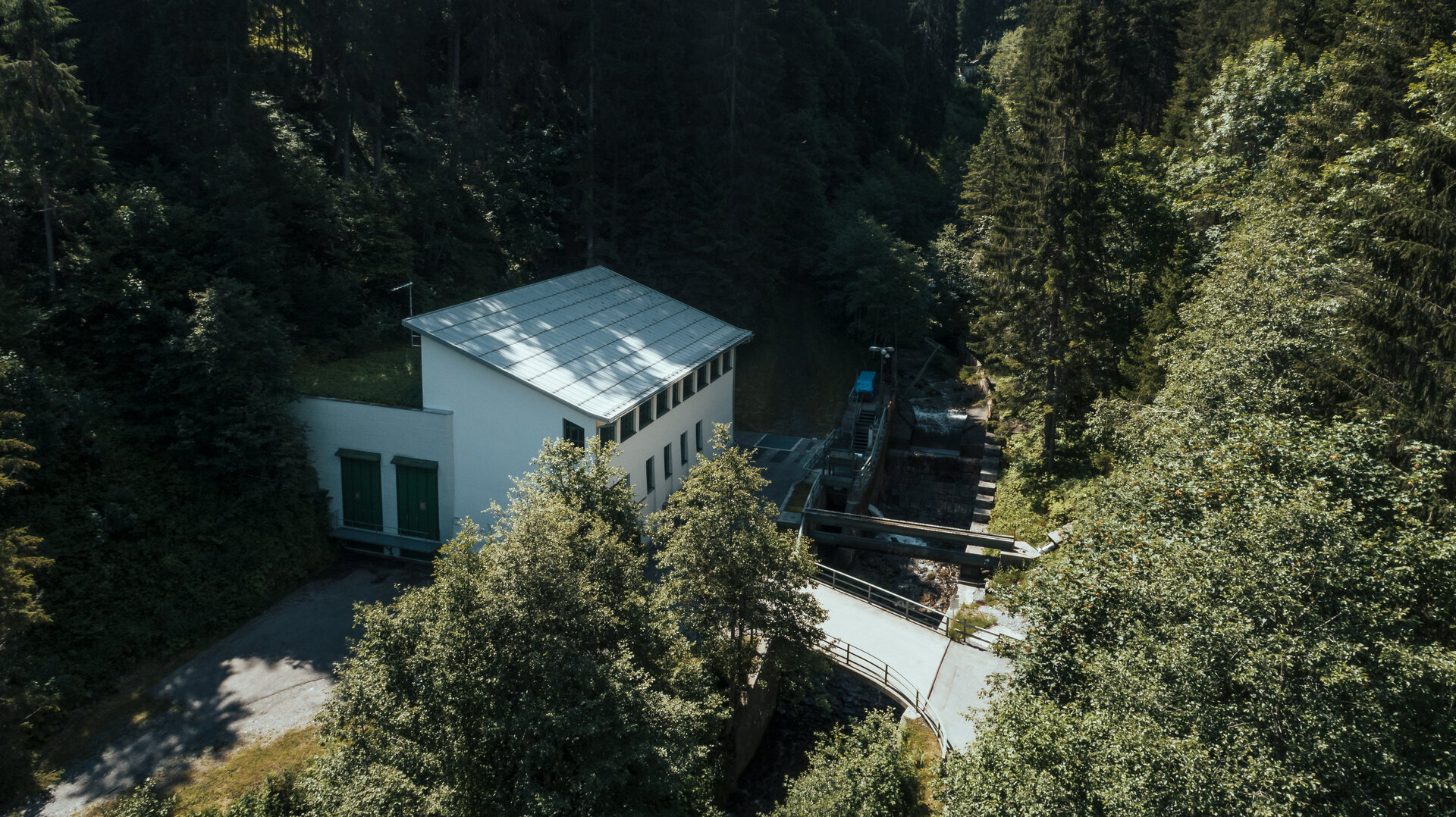
The Montafon is rich in water, which has shaped life and economic activity in the region for centuries. As early as the Middle Ages, the power of water was used to drive mills. At the end of the 19th century, the first hydroelectric power plant was built, making it possible to convert the energy of flowing water into electricity.

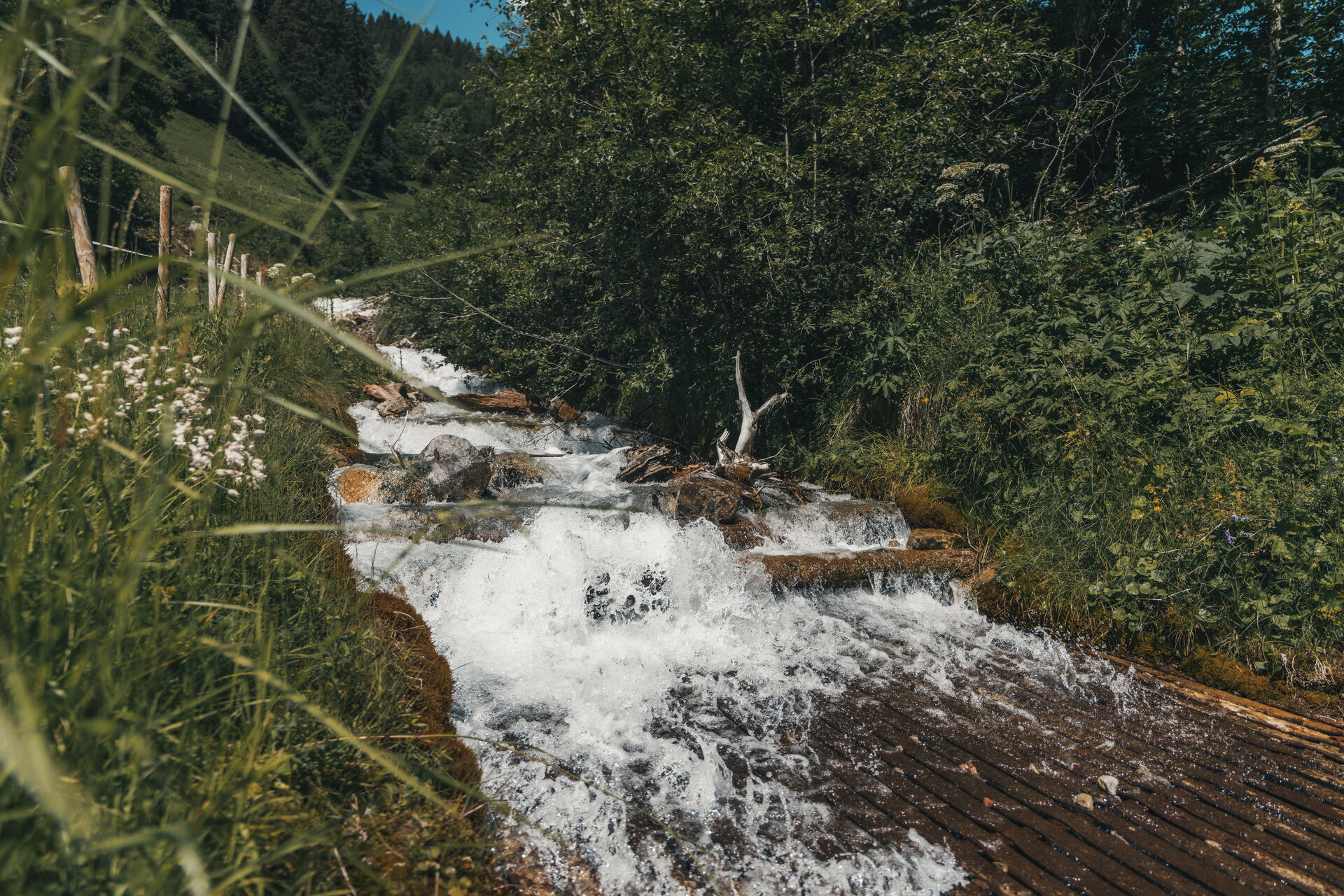
At several stops along the Aquaweg, you’ll learn just how abundant the region’s water resources are, how pure the drinking water from the mountains is, and the many different ways this natural source of life is utilized in the Montafon.

What is the Montafon Alpine Mosaic?

The Montafon Alpine Mosaic showcases the scenic diversity of the Montafon. Four exploration areas—Verwall, Silvretta, Rätikon, and the valley—reveal how geology, nature, and the cultural landscape are interconnected.

Along 34 themed trails, you can discover the unique features of these diverse landscapes. Starting points, themes, and stories along the trails continually offer you new perspectives on the Montafon.

So: Choose an exploration area, lace up your hiking boots, and discover the diversity of the Montafon step by step.

You can find more information about the Montafon Alpine Mosaic HERE.

Starting Point - Directions - End Point

Starting Point
Tschagguns, Golmerbahn Latschau Mid-Station

Directions
From the Golmerbahn middle station in Latschau, first follow the signposts toward Bitschweil. The trail then leads briefly toward Gauertal. Before reaching Mülli-Ferdi, turn off toward Bitschweil and continue along the trail.

On the way back, hike along the same trail until you reach the turnoff to the Schluchtweg. There, follow the signs toward Latschau to return to the starting point.

End Point
Tschagguns, Golmerbahn Latschau Mid-Station

Getting to the starting point

Getting to the Starting Point
The starting point for the tour is the Golmerbahn mid-station in Latschau.

By public transportation:
The Montafon regional bus and the Montafonerbahn provide a convenient and flexible way to get around the valley. Trains and buses run regularly between the towns, every half hour or hourly depending on the route. You can find the right connection for you HERE. Bus stop at the start/end of this tour: Latschau Golmerbahn

By car:
Take the A14 to the Bludenz/Montafon exit, then follow the L188 into the Montafon. You’ll reach the higher-elevation town of Latschau via Tschagguns. Parking is available at the Golmerbahn.

Important Information

For the hike, we recommend wearing shoes with good traction and clothing appropriate for the weather. Depending on the weather conditions, you should also bring sunscreen and rain gear.

Tips

It's a good idea to stop for a bite to eat at the Bitschweil restaurant while you're out and about.

Sicherheitstipps für Wandern in Vorarlberg

EN NOTRUF:

EN 140 - Alpine Notfälle österreichweit 

EN 144 - Alpine Notfälle Vorarlberg 

EN 112 - Euro-Notruf (funktioniert mit jedem Handy/Netz) 

Properties
Route type Themenweg, Hiking, Alpine mosaic – Rätikon, Alpine mosaic, Refreshment stops, Round trip, Family-friendly, Suitable for prams
Difficulty Easy
Start Golmerbahn Mittelstation Latschau, Latschaustraße
Finish Golmerbahn Mittelstation Latschau, Latschaustraße
Elevation profile
Best months
Jan
Feb
Mar
Apr
May
Jun
Jul
Aug
Sep
Oct
Nov
Dec