Europatreppe 4000 ​(​including the return trip via Bofa to Partenen​)​

Difficult
open
Rundtour
Trail running | Running · Hiking · Round trip · Gaschurn
02:10 h duration
4,89 km Length in km
1732 m Highest point
1047 m Lowest point
678 m gain Ascent
681 m gain Descent
Stamina
Skill
Difficulty
Adventure
Scenery

Tour description

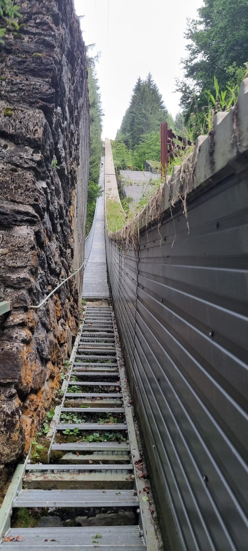
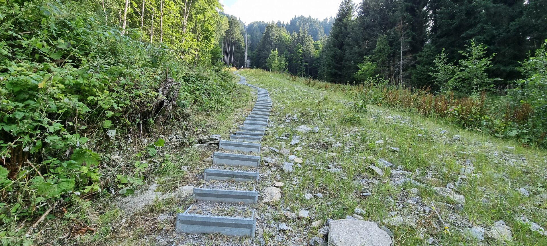
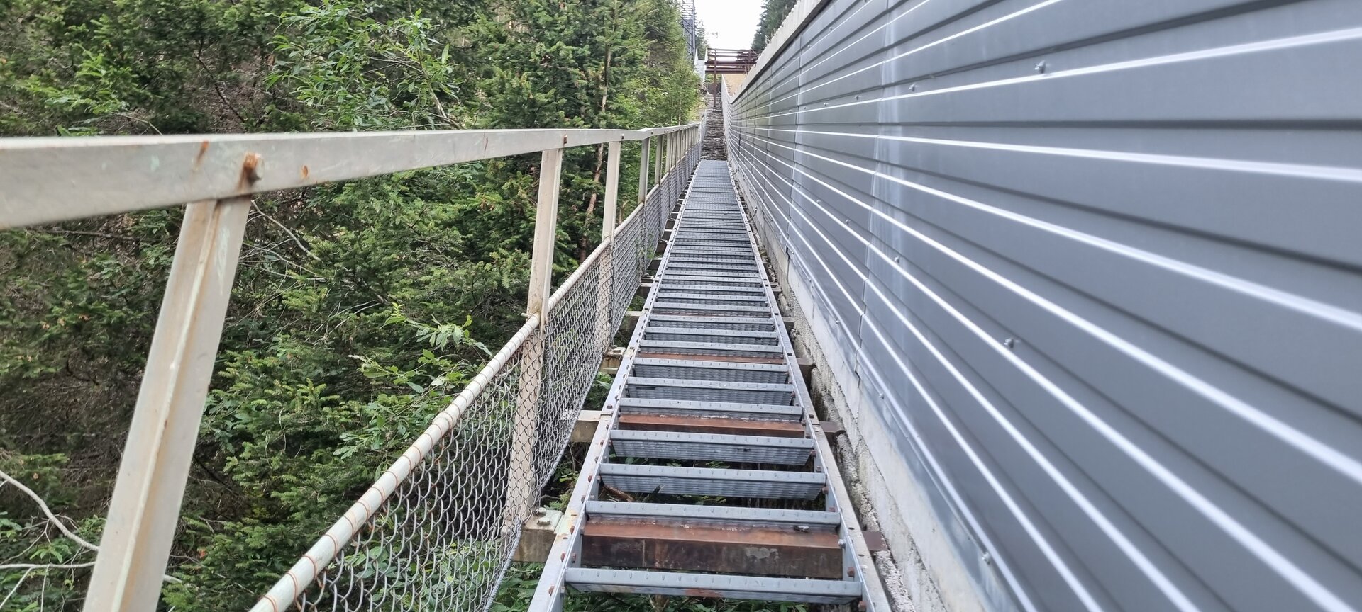
With about 3,600 irregular steps, a gradient of up to 86 percent, and a piece of Montafon power plant history, the Europatreppe 4000 in Partenen is an extraordinary challenge.
Note: The Europatreppe is open annually from June 1 through October 31.

Originally built as a supply route for the construction of the large reservoirs in the Silvretta, the Europatreppe 4000 now climbs steeply uphill alongside the Vermunt Railway. When preliminary work on the Vermunt power plant began in 1925, there was neither electricity nor a telephone in Partenen—making the staircase an impressive testament to that era, when the Alpine energy industry was built under extremely challenging conditions. Each step varies in height and depth, which is why, in addition to physical fitness, coordination, concentration, and sure-footedness are especially important. Those who reach the top have not only mastered a physical challenge but have also gained a unique insight into the valley’s history.

Starting Point - Directions - End Point

Starting Point
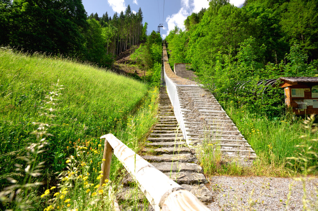
The Vermuntbahn valley station in Partenen.

Directions
Directions: To the left of the Vermuntbahn valley station, a short flight of stairs leads up to Bofastraße. After passing under the railway tracks, you’ll reach the starting point of the Europatreppe 4000. From here, the path leads almost straight and very steeply toward the Vermuntbahn mountain station, with steps of varying heights and depths. About halfway along the route and again in the final third, the staircase is interrupted by a path approximately 50 meters long. At the mountain station, the descent begins on the right. Follow the trail markers through the forest toward the valley. The final few meters take you back along Bofastraße to the starting point at the valley station.

End point
The Vermuntbahn valley station in Partenen.

Getting to the starting point

The starting point is the Vermuntbahn valley station.

By public transportation

With the Montafon regional bus and the Montafonerbahn, you can travel comfortably and flexibly throughout the valley. The train and bus connect the towns regularly, every half hour or every hour, depending on the route. You can find suitable connections in the cleVVVer mobil schedule app. The bus stop for the start and end of this tour is Partenen Bergbahnen.

By car

Take the A14 to the Bludenz/Montafon exit. Then follow the Montafonerstraße L188 to Partenen. Parking is available at the Vermuntbahn and the Tafamuntbahn.

Important Information

  • The Europatreppe 4000 is very steep and places high demands on your stamina, coordination, and surefootedness.
  • The individual steps vary significantly in height and depth. Therefore, stay focused and adjust your pace to your abilities.
  • Good, non-slip shoes are absolutely essential.
  • When wet, the steps and paths can be slippery.
  • As an alternative to descending via the Bofa, you can take the Vermuntbahn for the return trip. Be sure to check the current operating hours.
Tips

Every September, ambitious runners compete on the Europatreppe in the Montafon Stair Cup. The record time is around 22 minutes—but for most participants, it’s not the stopwatch that matters, but their own pace and reaching the finish safely. You can find information about the event at scspartenen.at.

And you’re definitely encouraged to show off your achievement: Once you’ve conquered the Europatreppe 4000, you’ll receive a certificate at the Gaschurn Tourist Information Office. To get it, take a photo at the top of the stairs as proof and show it to the staff there.

Sicherheitstipps für Wandern in Vorarlberg

EN NOTRUF:

EN 140 - Alpine Notfälle österreichweit 

EN 144 - Alpine Notfälle Vorarlberg 

EN 112 - Euro-Notruf (funktioniert mit jedem Handy/Netz) 

Properties
Route type Trail running | Running, Hiking, Round trip
Difficulty Difficult
Start Talstation Vermuntbahn Partenen
Finish Talstation Vermuntbahn Partenen
Elevation profile
Best months
Jan
Feb
Mar
Apr
May
Jun
Jul
Aug
Sep
Oct
Nov
Dec