From the Lower Gaflunaalpe to the Schwarzsee in the rear Silbertal and back

Easy
Hiking
04:00 h duration
12,0 km Length in km
1698 m Highest point
1354 m Lowest point
371 m gain Ascent
371 m gain Descent
Stamina
Difficulty
Adventure
Scenery

Tour description

Lower Gaflunaalpe - Lower Dürrwaldalpe - Schwarzsee - same way back

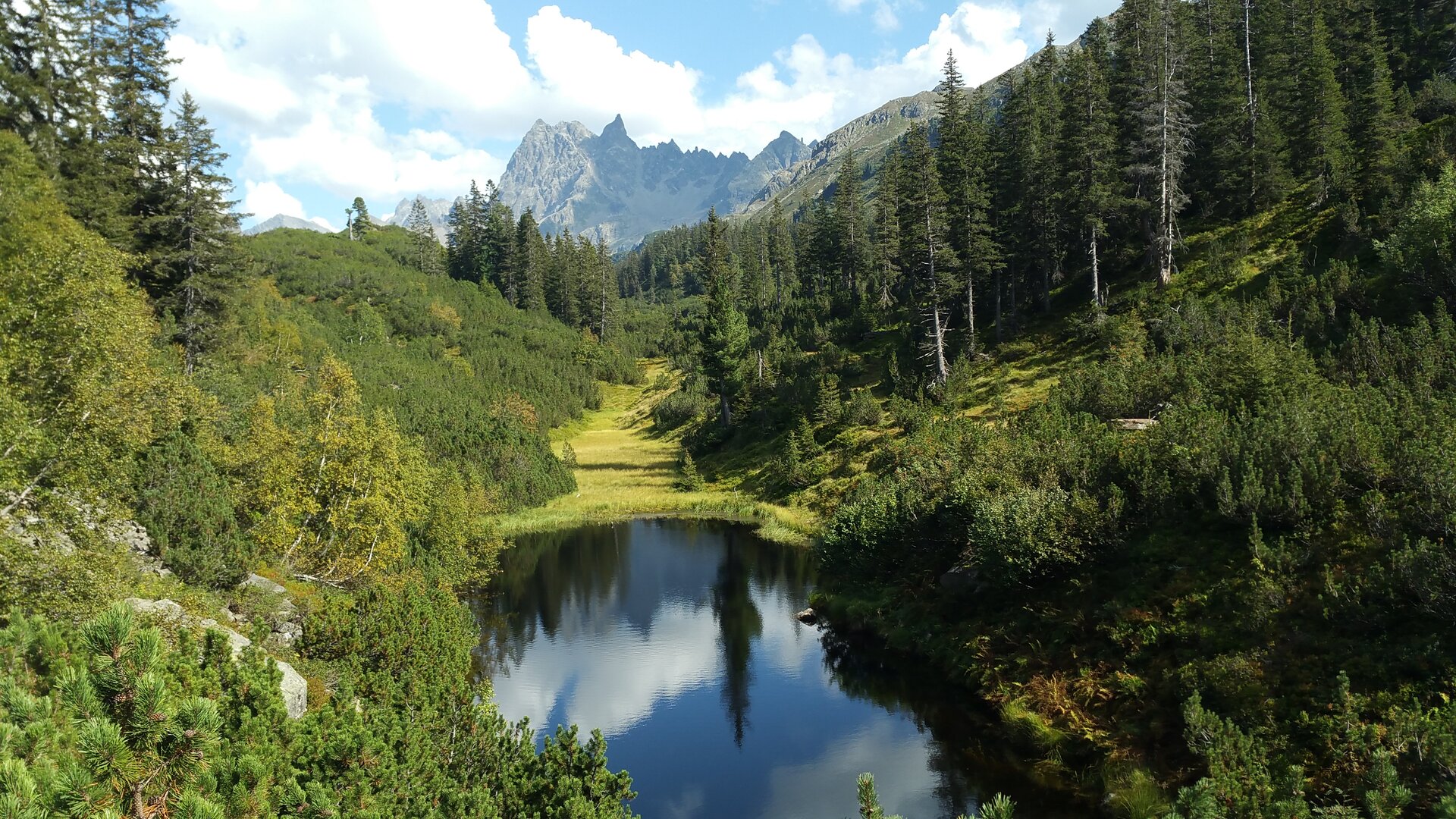
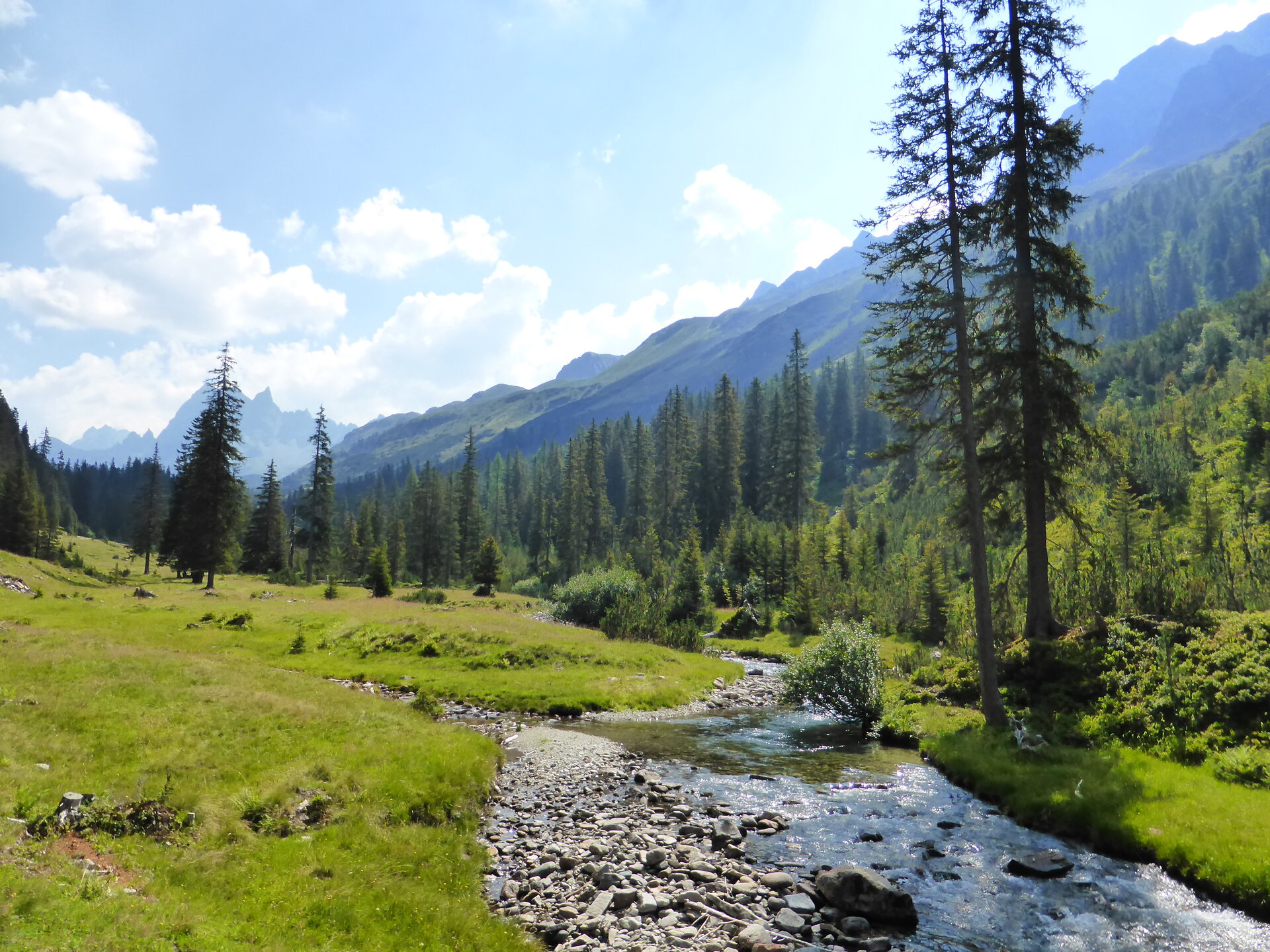
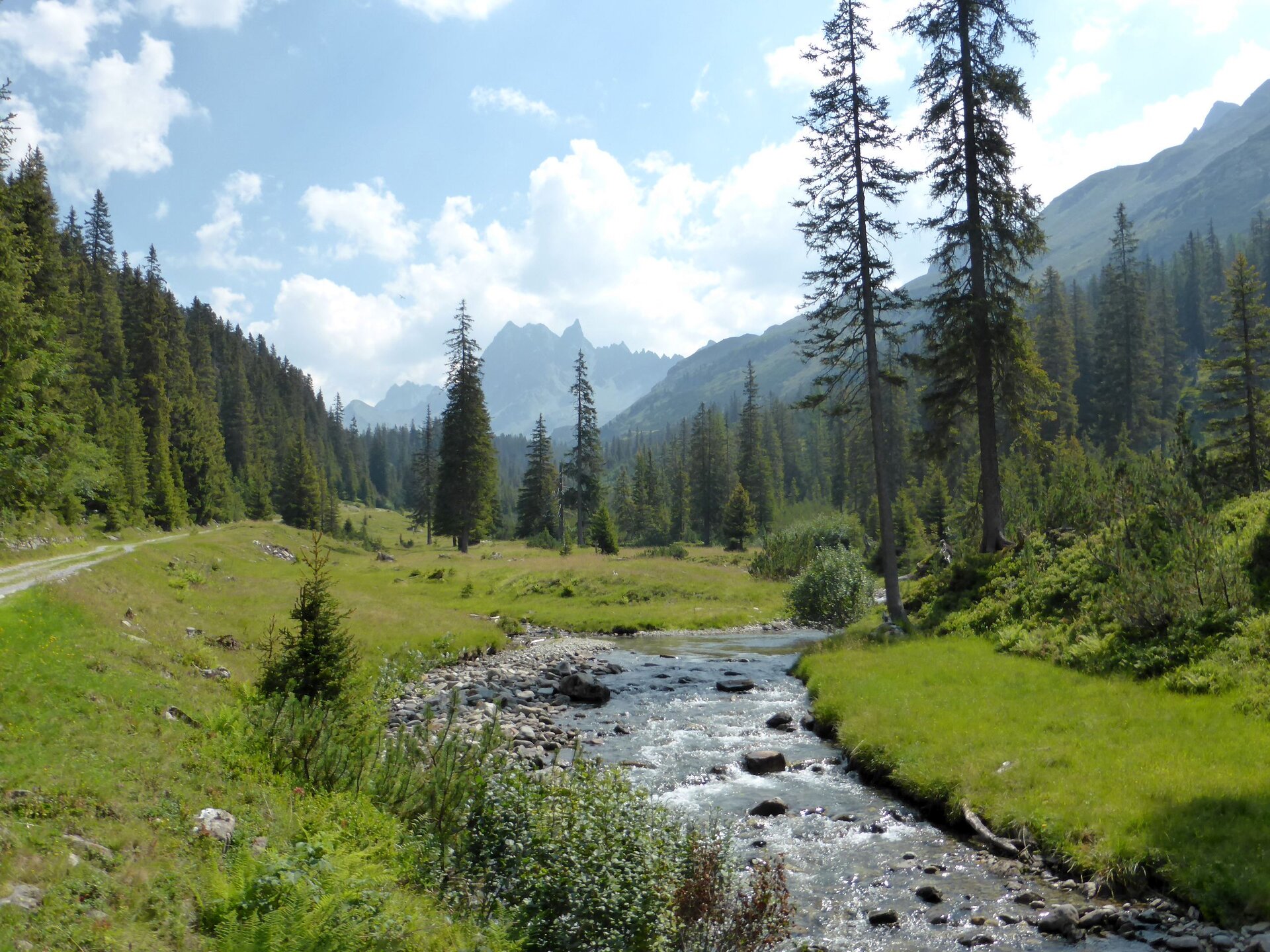
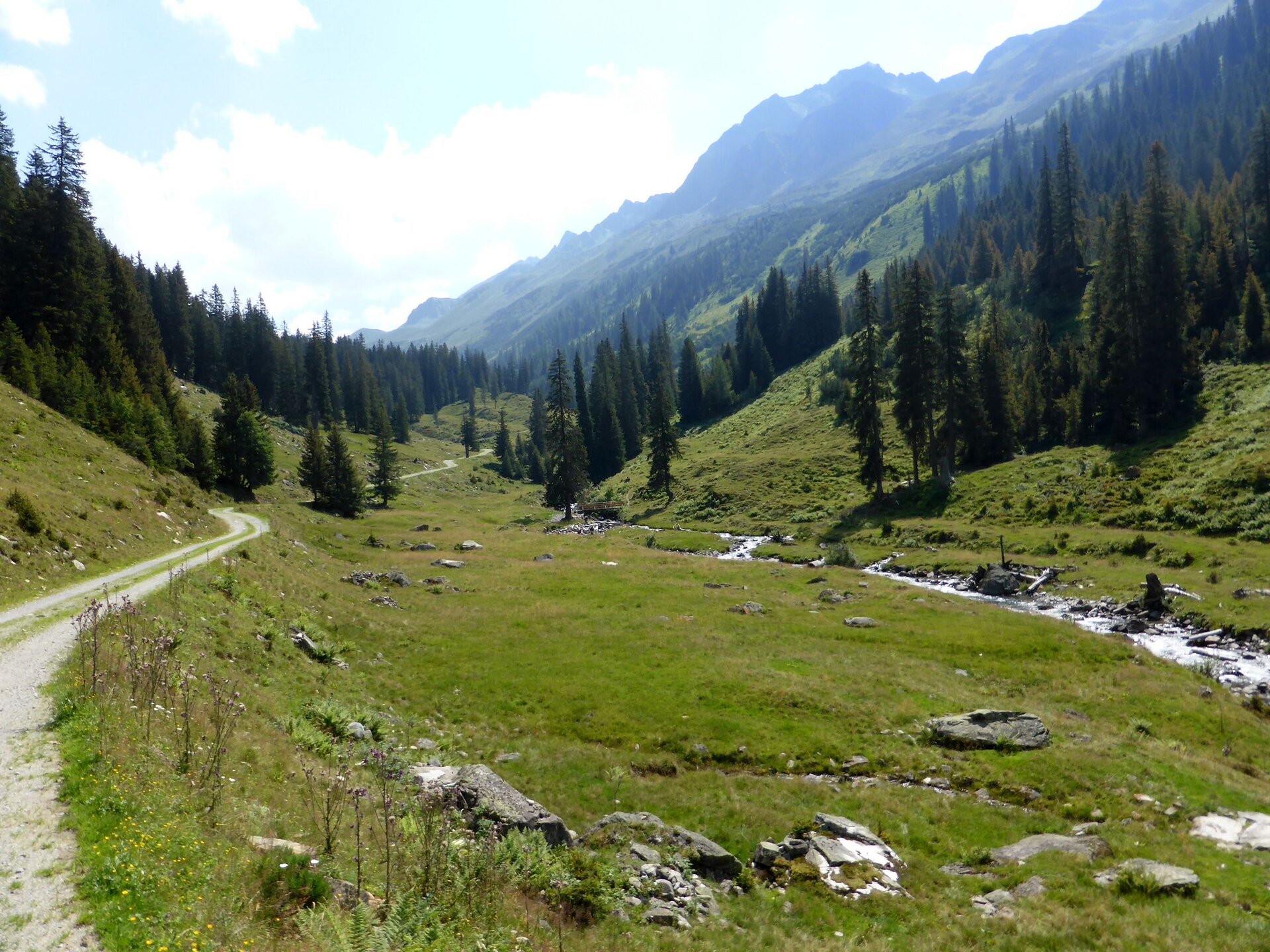
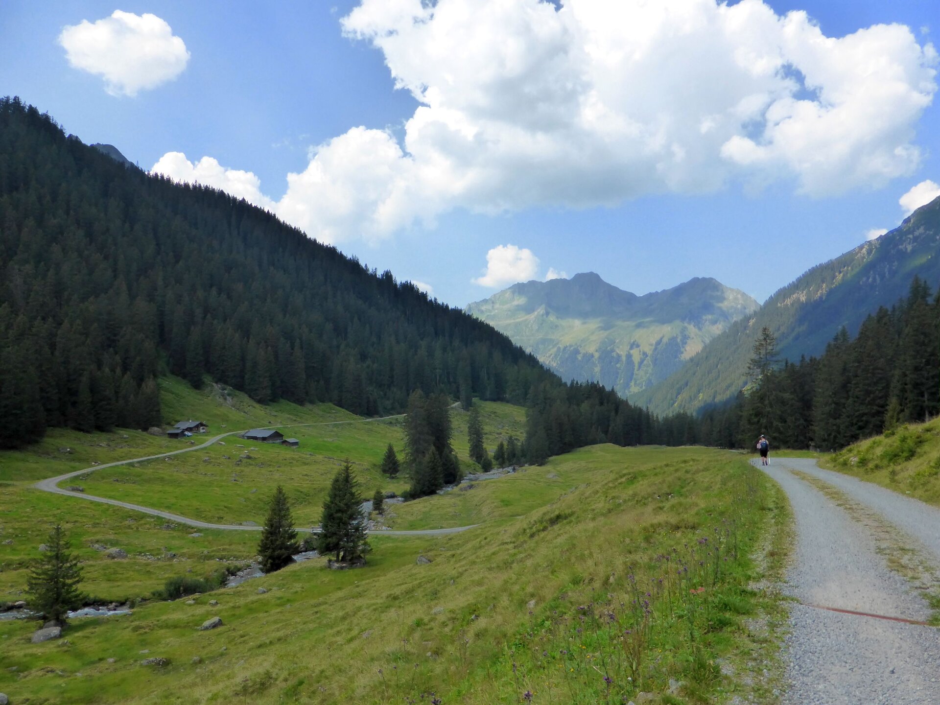
A beautiful and idyllic hike in the rear Silbertal or in the Verwall European protected area. With some luck, you can observe marmots along the way.

The European protected area, also called the Natura 2000 area Verwall on the border with Tyrol, is an important component of Vorarlberg's Natura 2000 network due to its large size and tranquility. The little-developed mountain area is a habitat and refuge for many mountain plants and shy animals. These include chamois and golden eagle as well as the rock ptarmigan and the Krautweide, the "smallest tree in the world," which only protrudes a few centimeters from the ground.

To reach the starting point, you can take the hiking bus to the Lower Gaflunaalpe.

The hiking bus to the Lower Gaflunaalpe must be registered the day before by 5:00 p.m. at the Silbertal Citizen Service Office. Tickets can only be purchased there or at montafon.at/wanderbus-silbertal.

Start and end times as well as departure times and other information can be found here:

www.montafon.at/wanderbus

Contact:

Citizen Service Office Silbertal

+43555674104

buergerservice@silbertal.at

Monday-Friday:

07:30 - 13:00

Approach

Take the A14 to the Bludenz/Montafon exit and continue on the Montafonerstraße L188 to Schruns. From Schruns you reach Silbertal.

Public transport

Just leave your car behind

Country buses run throughout Montafon. The main lines run every half hour from Schruns train station.

Bus stop for start/finish of the route: Silbertal Kristbergbahn / Line 680

Timetable: www.vmobil.at

Arrival by train to Montafon

From Bludenz station the Montafon railway runs hourly (sometimes every half hour). There are also direct connections from Lindau (D) or Bregenz.

Timetable: www.oebb.at

Parking

Parking lot at the valley station Kristbergbahn Silbertal (paid)

Directions

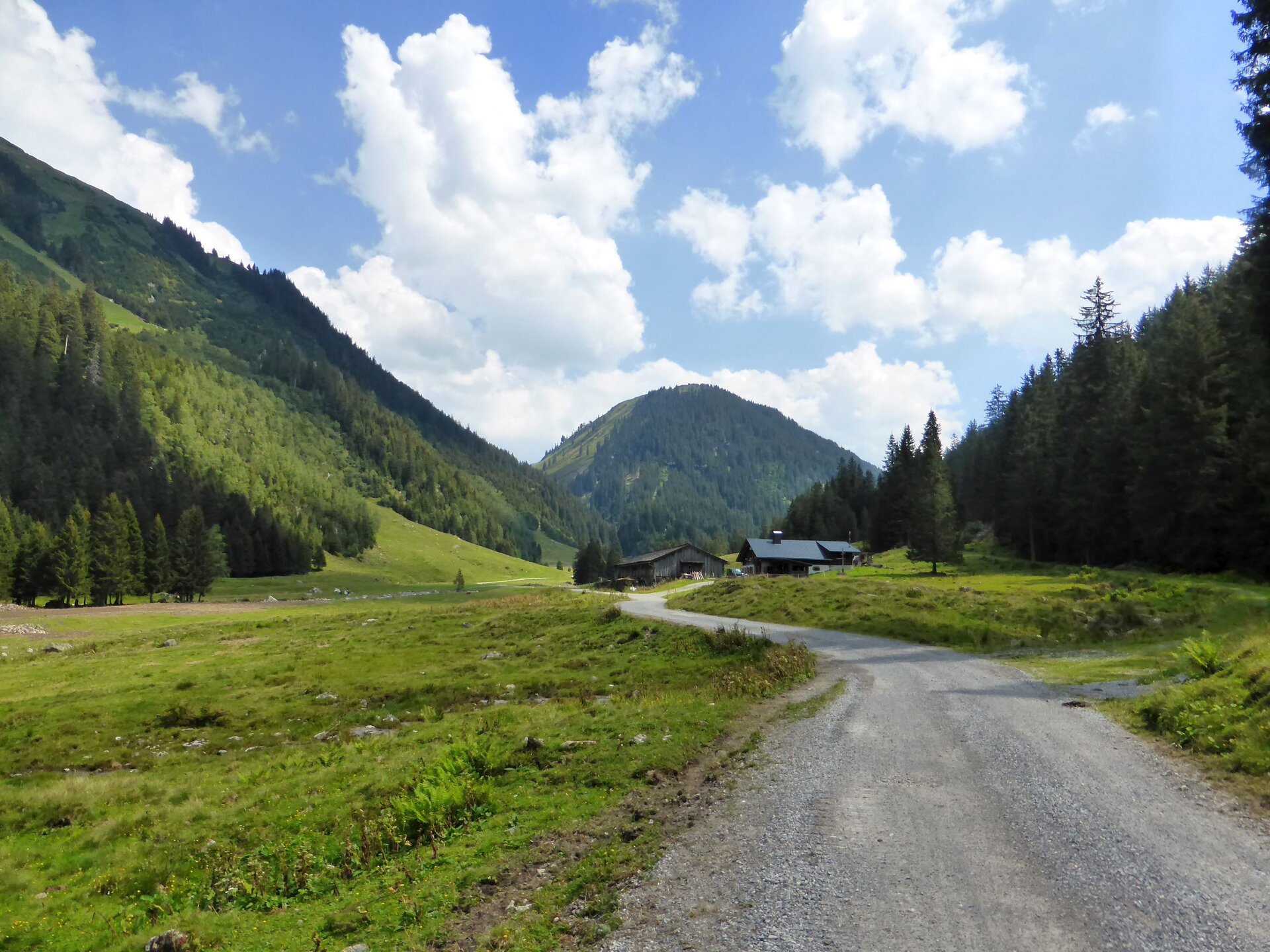
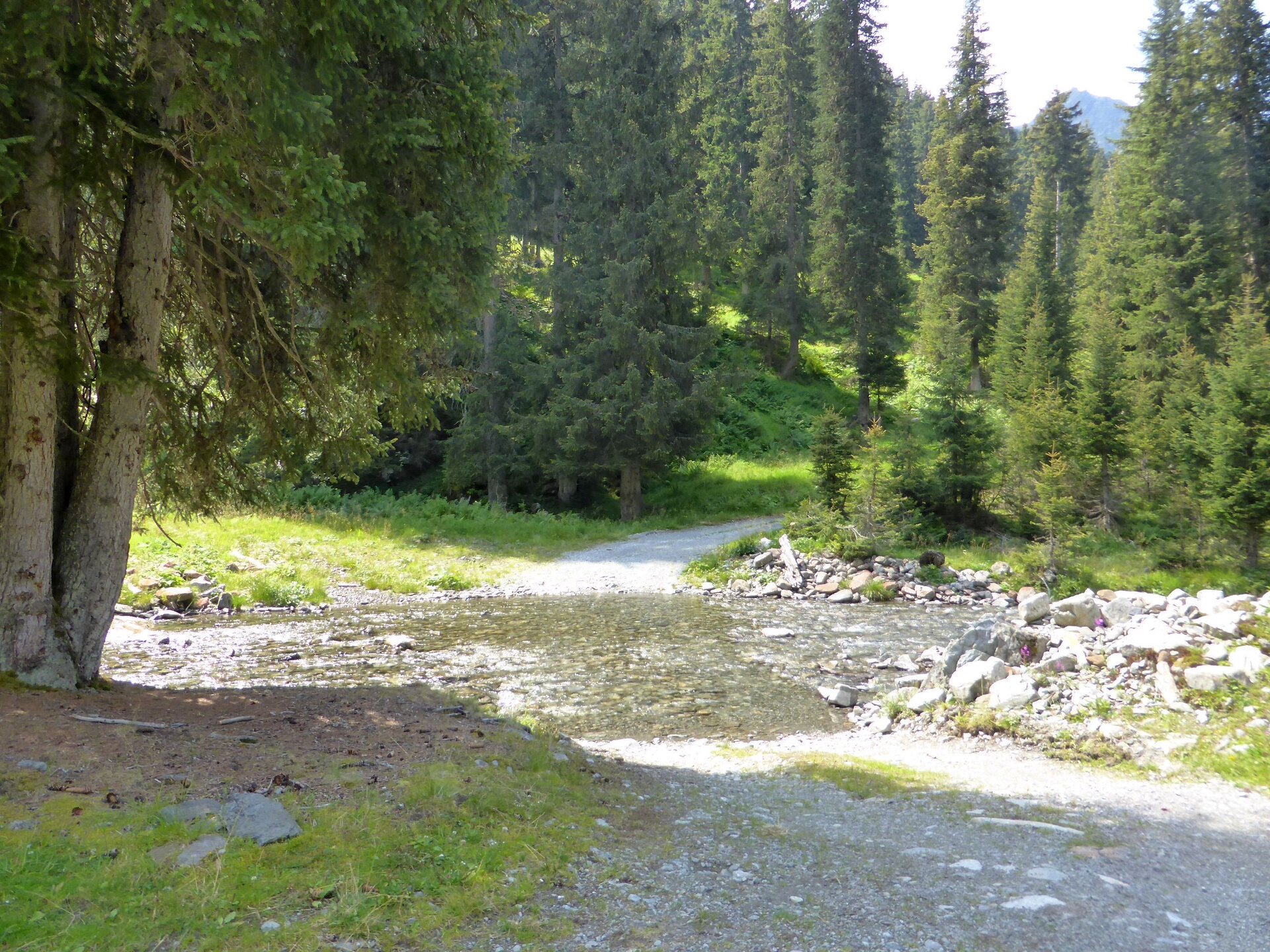
The beautiful and idyllic hike through the rear Silbertal starts at the hiking bus stop, very close to the Lower Gaflunaalpe and leads along the wide path valley inward towards the Upper Freschalpe and Langsee. With a slight uphill, it passes the junction to the Lower Dürrwaldalpe and continues uphill to the Schwarzsee. You return to the starting point via the same route. You can take the hiking bus back to the center of Silbertal.

Equipment

Sturdy footwear with good tread sole. A head covering, sun protection, as well as bringing food and drinks are recommended.

Destination

Silbertal, hiking bus stop, near the Lower Gaflunaalpe

Starting Point

Silbertal, hiking bus stop, near the Lower Gaflunaalpe

Sicherheitstipps für Wandern in Vorarlberg

EN NOTRUF:

EN 140 - Alpine Notfälle österreichweit 

EN 144 - Alpine Notfälle Vorarlberg 

EN 112 - Euro-Notruf (funktioniert mit jedem Handy/Netz) 

Properties
Route type Hiking
Difficulty Easy
Elevation profile
Best months
Jan
Feb
Mar
Apr
May
Jun
Jul
Aug
Sep
Oct
Nov
Dec