Gargellner Window Path

Moderate
Alpenmosaik - Tal
Einkehrmöglichkeit
Familienfreundlich
Rundtour
Themenweg · Hiking · Alpine mosaic – valley · Alpine mosaic · Refreshment stops · Round trip · Family-friendly · Gargellen
03:00 h duration
7,28 km Length in km
1616 m Highest point
1375 m Lowest point
375 m gain Ascent
375 m gain Descent
Stamina
Skill
Difficulty
Adventure
Scenery

Tour description

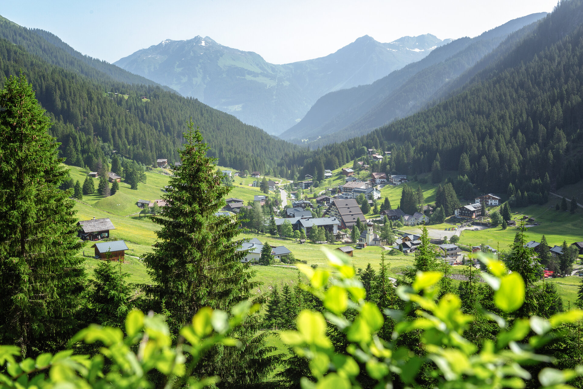
The Gargellen Window Trail connects the geological wonder of the Gargellen Windows with historic sites, spectacular views, and the diverse cultural landscape surrounding Gargellen.

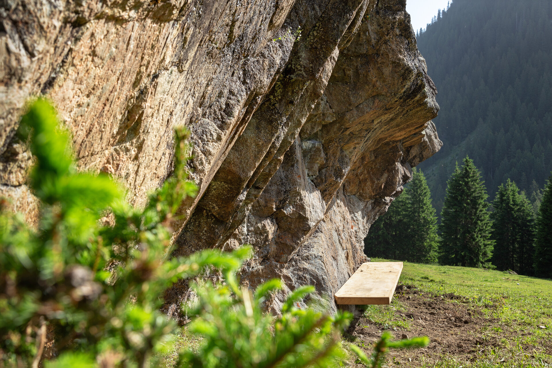
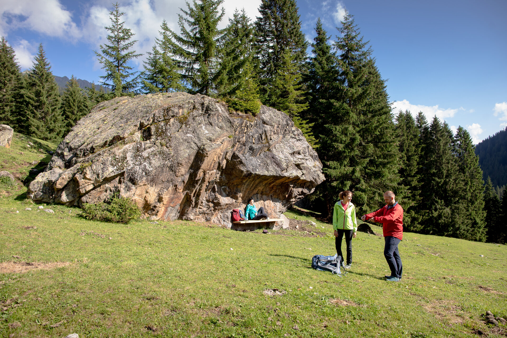
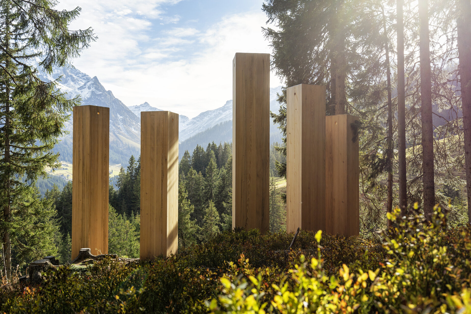
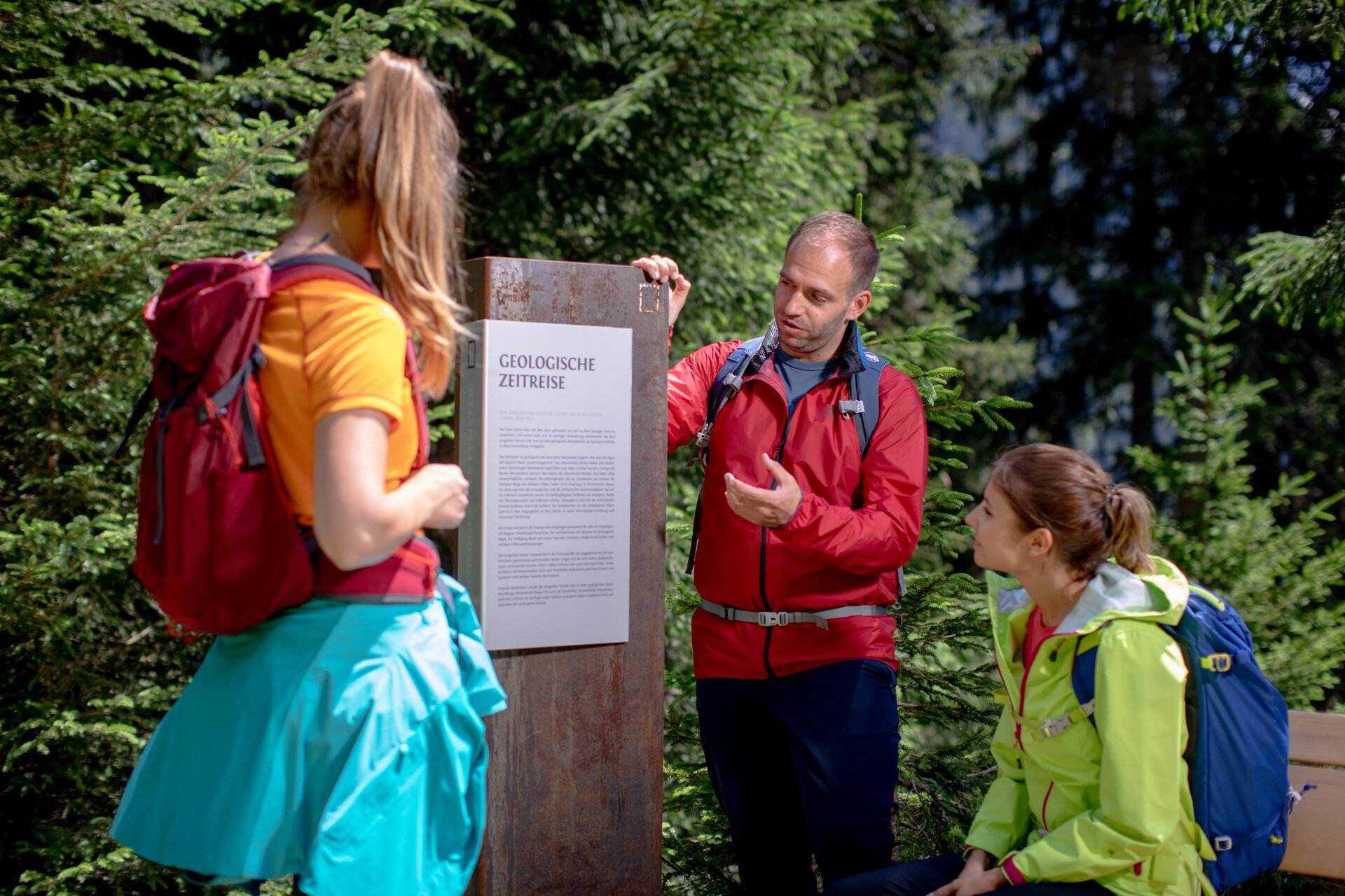
The Gargellen Windows are a unique geological phenomenon: light-colored limestone cliffs stand out clearly against the otherwise darker primary rock. The themed trail highlights this unique feature and ties it to the history of the border region. At historically significant locations, so-called “windows” offer glimpses into times past and bring the development of Gargellen to life in a unique way.

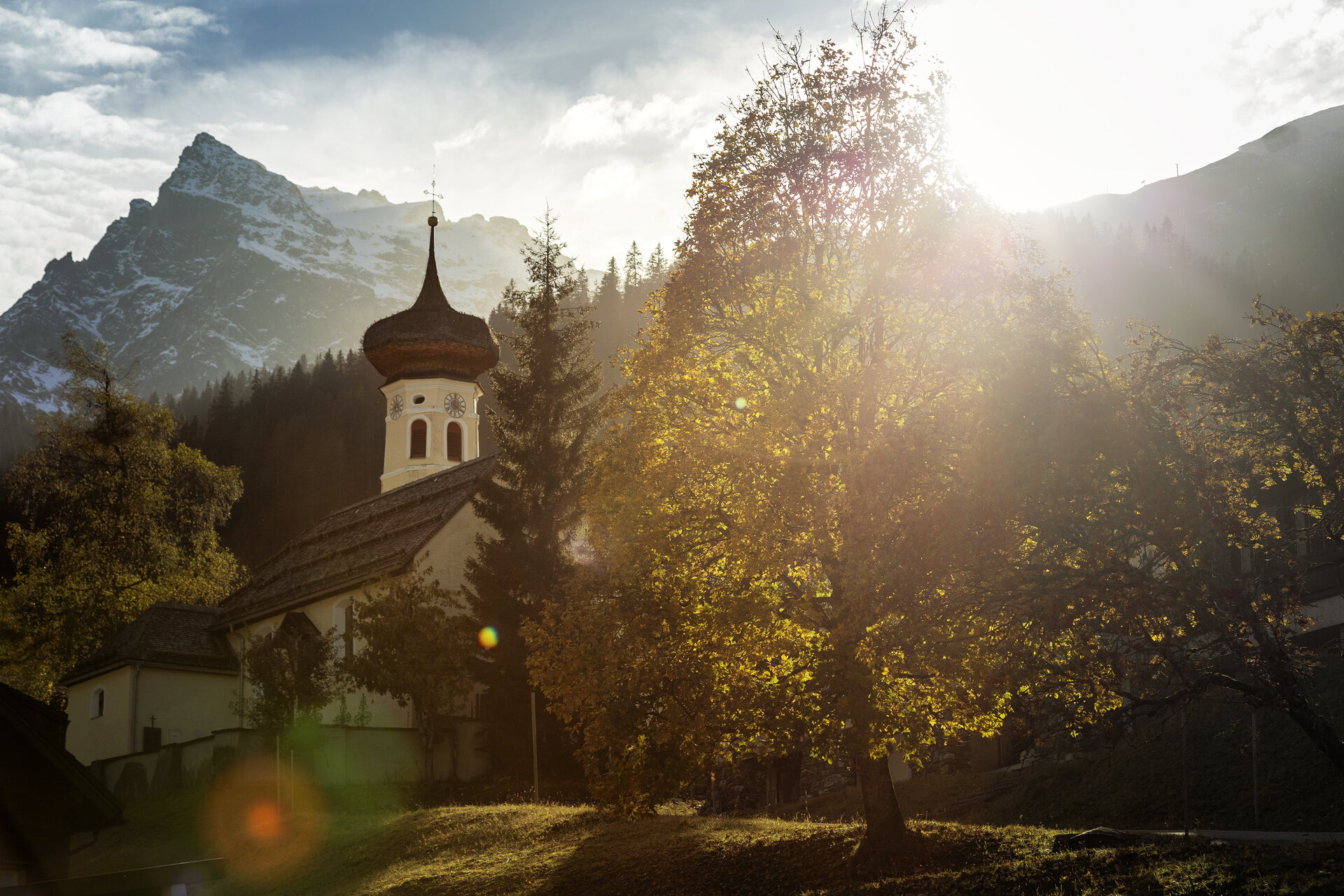
The trail also reflects the community’s shared commitment. As part of the “Bergdorf 2025” project, residents have been working together since 2018 to enhance the town’s appearance. Through targeted clearing, areas and sightlines were reopened, and the Gargellen Window Trail was further developed. Along the route, you’ll encounter not only geological features but also historic sites, summer pasture meadows, and traditional buildings.

What is the Montafon Alpine Mosaic?

The Montafon Alpine Mosaic showcases the scenic diversity of the Montafon. Four exploration areas—Verwall, Silvretta, Rätikon, and the valley—illustrate how geology, nature, and the cultural landscape are interconnected.

Along 34 themed trails, you can discover the unique features of these diverse landscapes. Starting points, themes, and stories along the trails will continually offer you new perspectives on the Montafon.

So: Choose an exploration area, lace up your hiking boots, and discover the diversity of the Montafon step by step.

You can find more information about the Montafon Alpine Mosaic HERE.

Starting Point - Directions - End Point

Starting Point
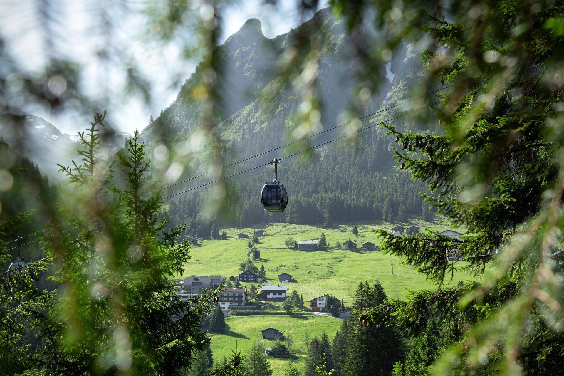
Gargellen, lower station of the Gargellen Mountain Railways

Directions
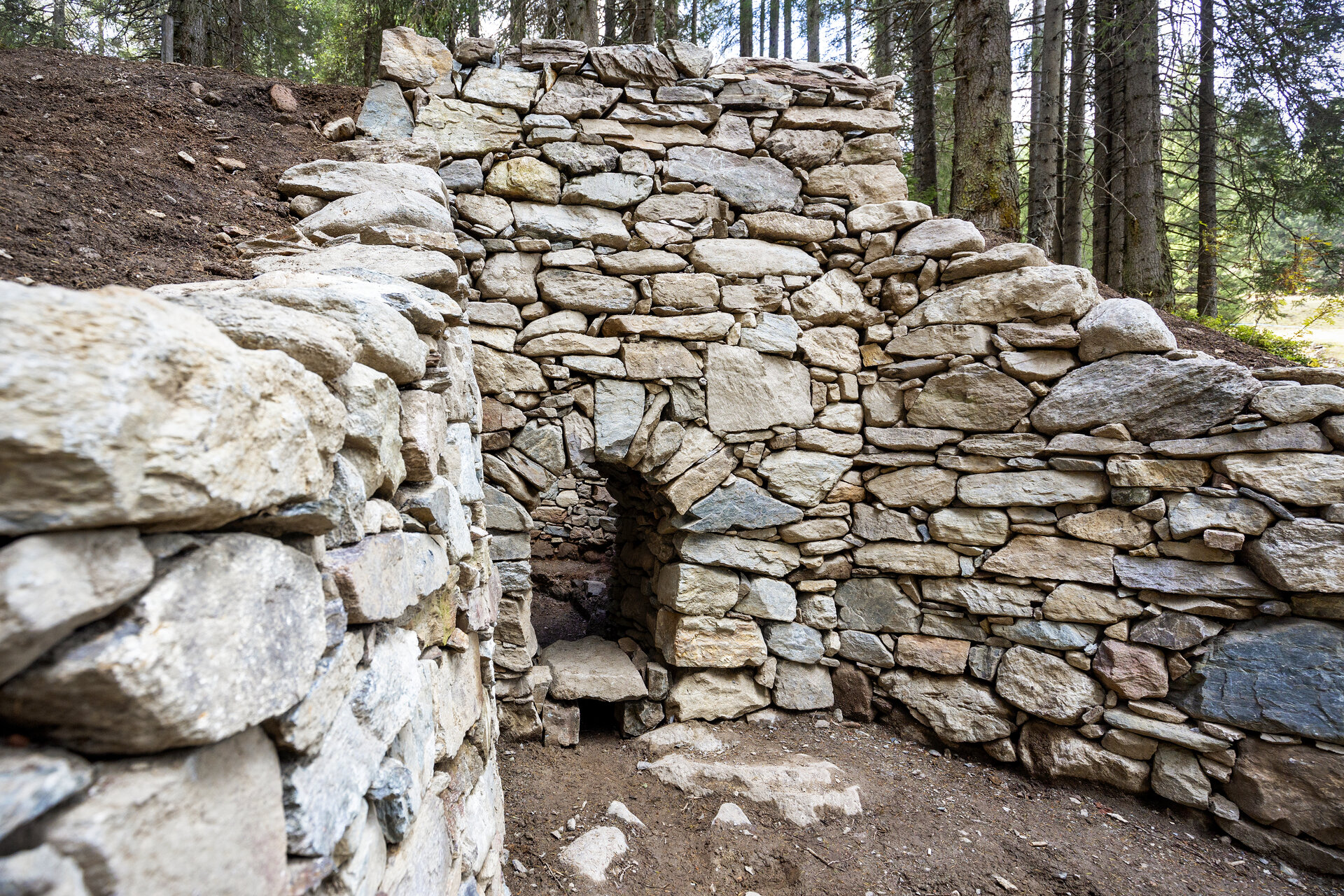
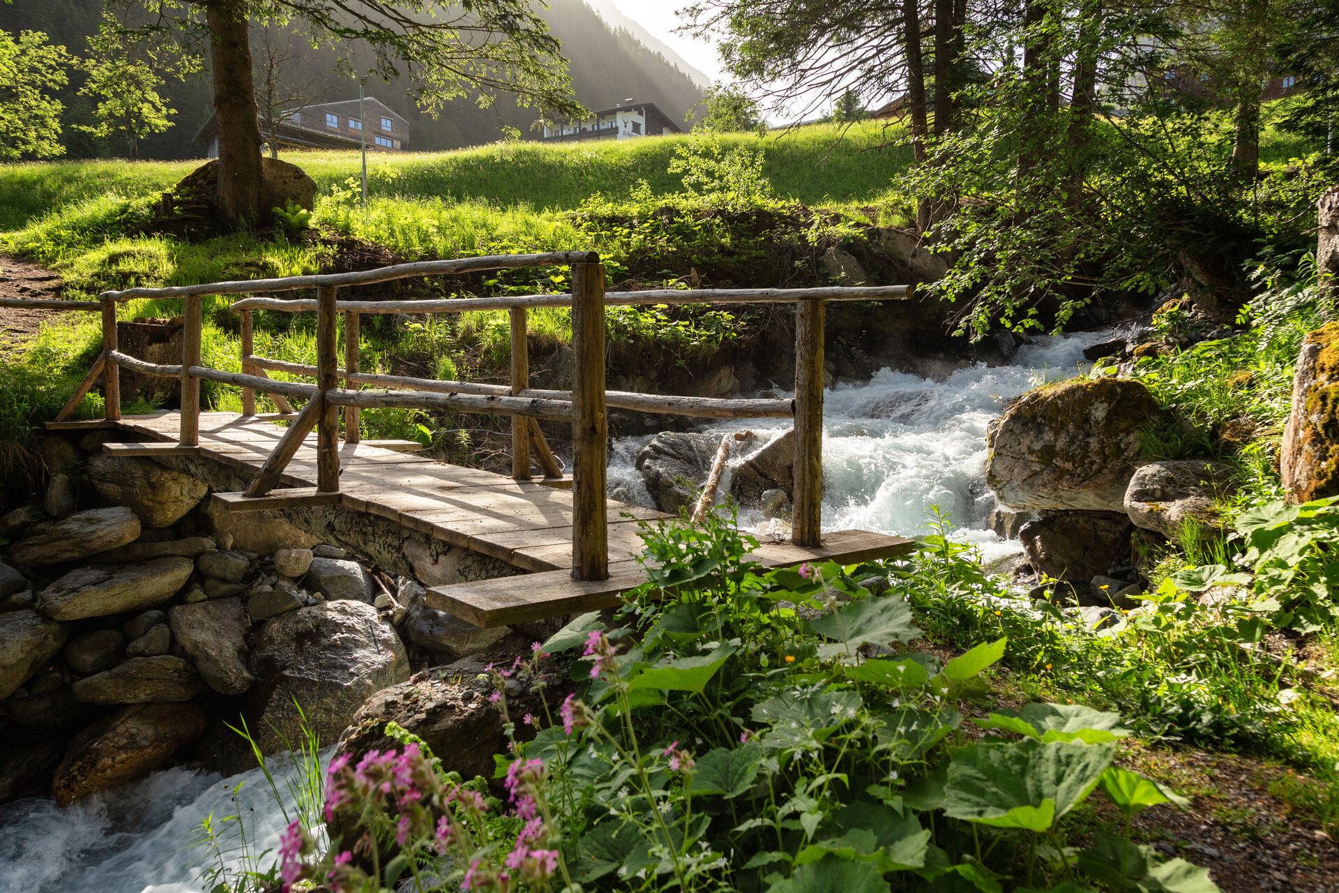
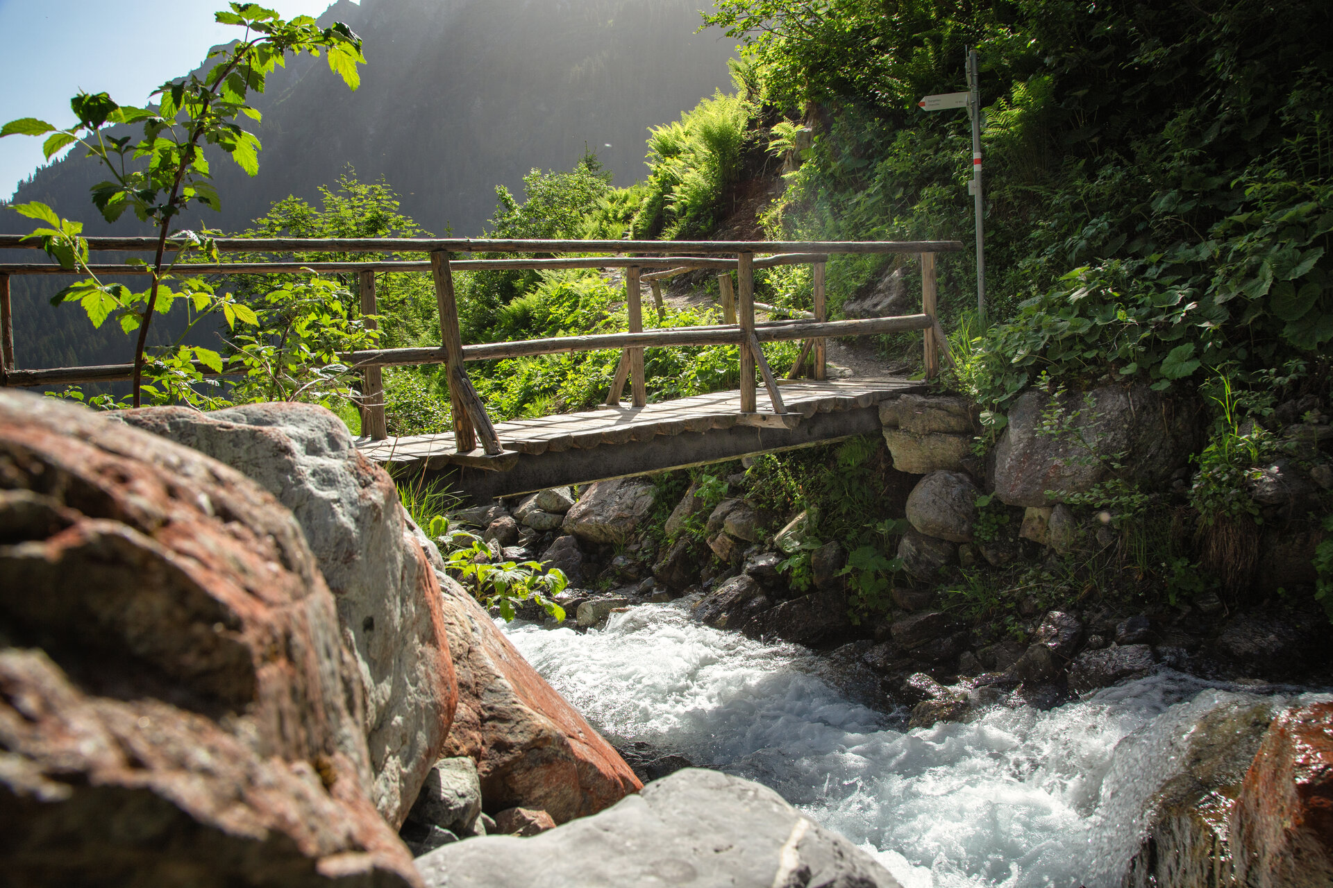
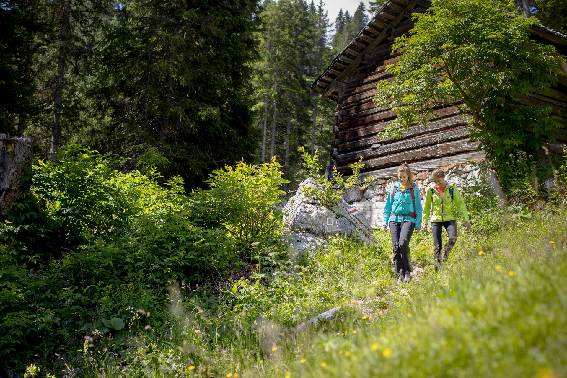
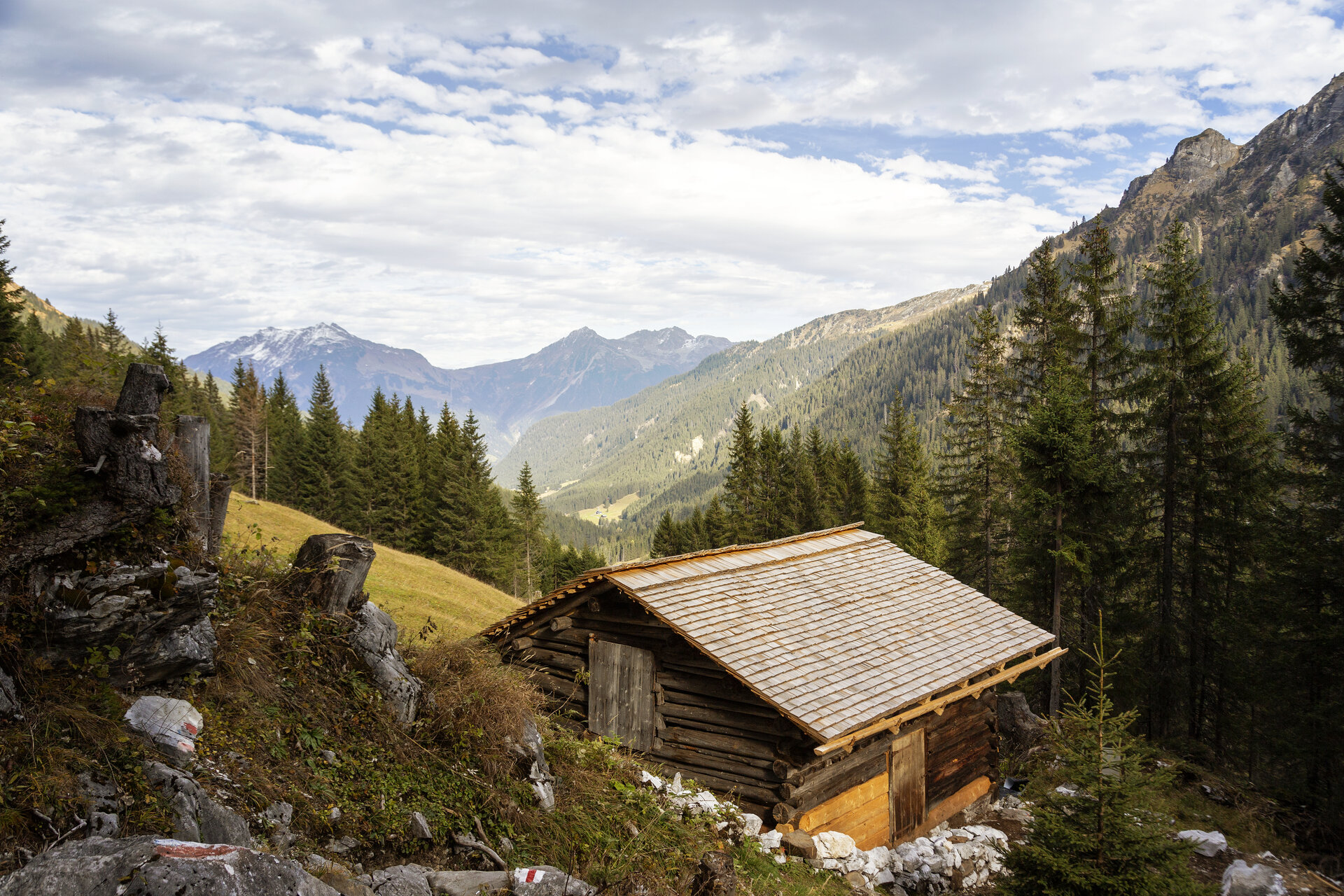
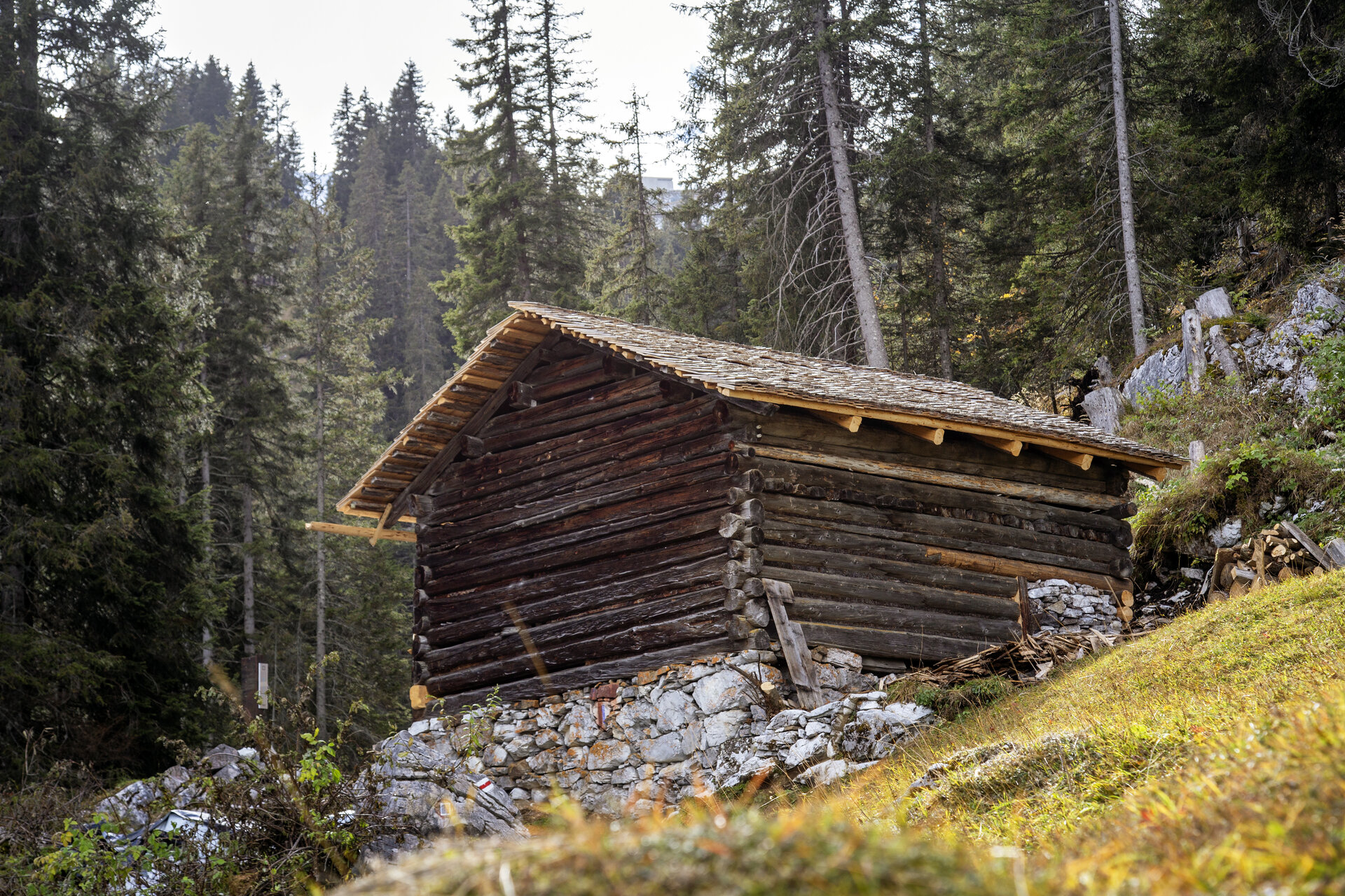
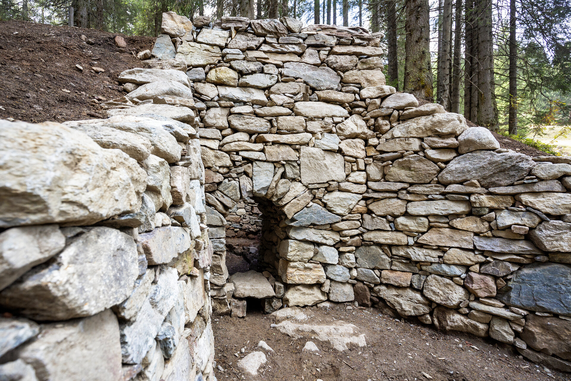
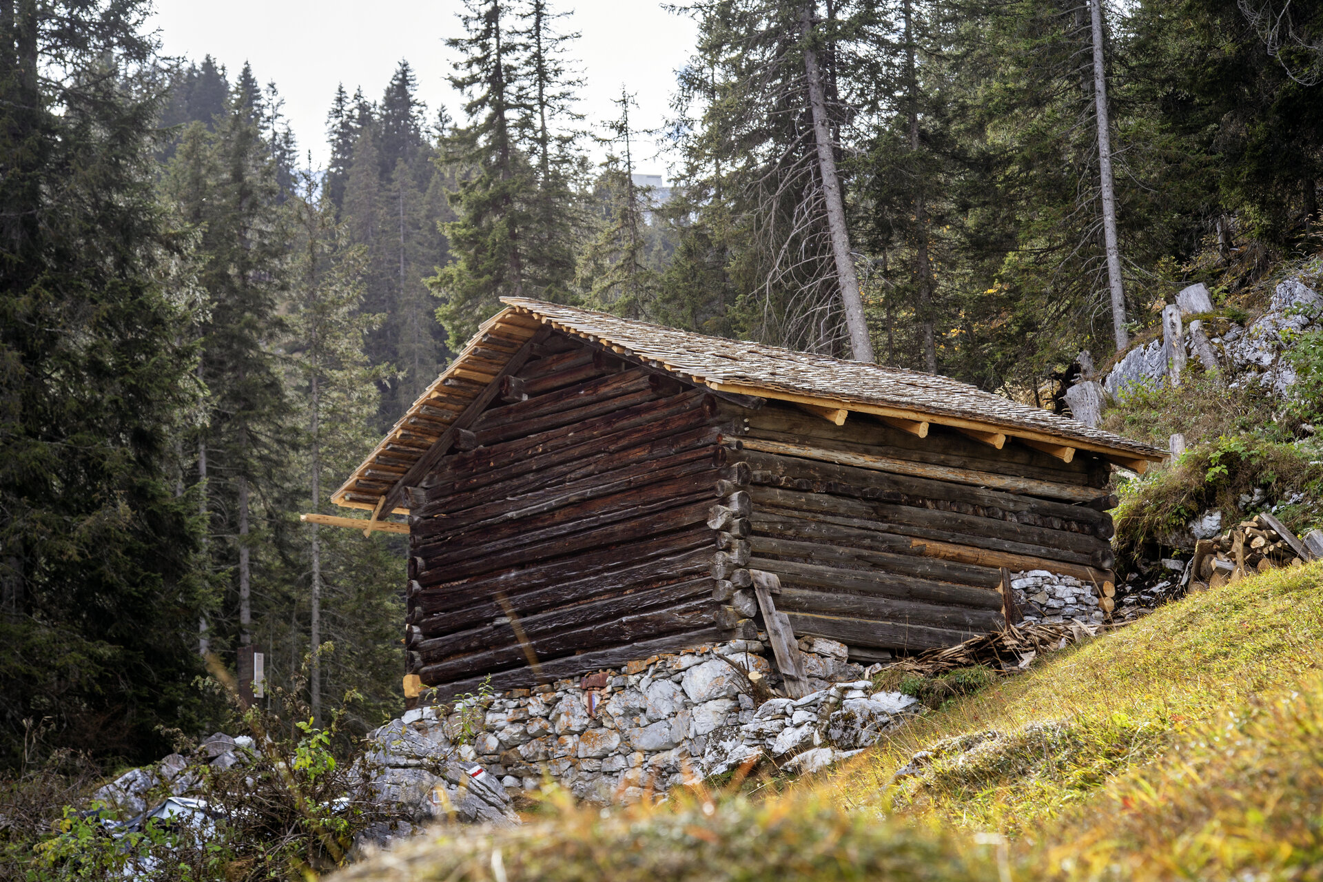
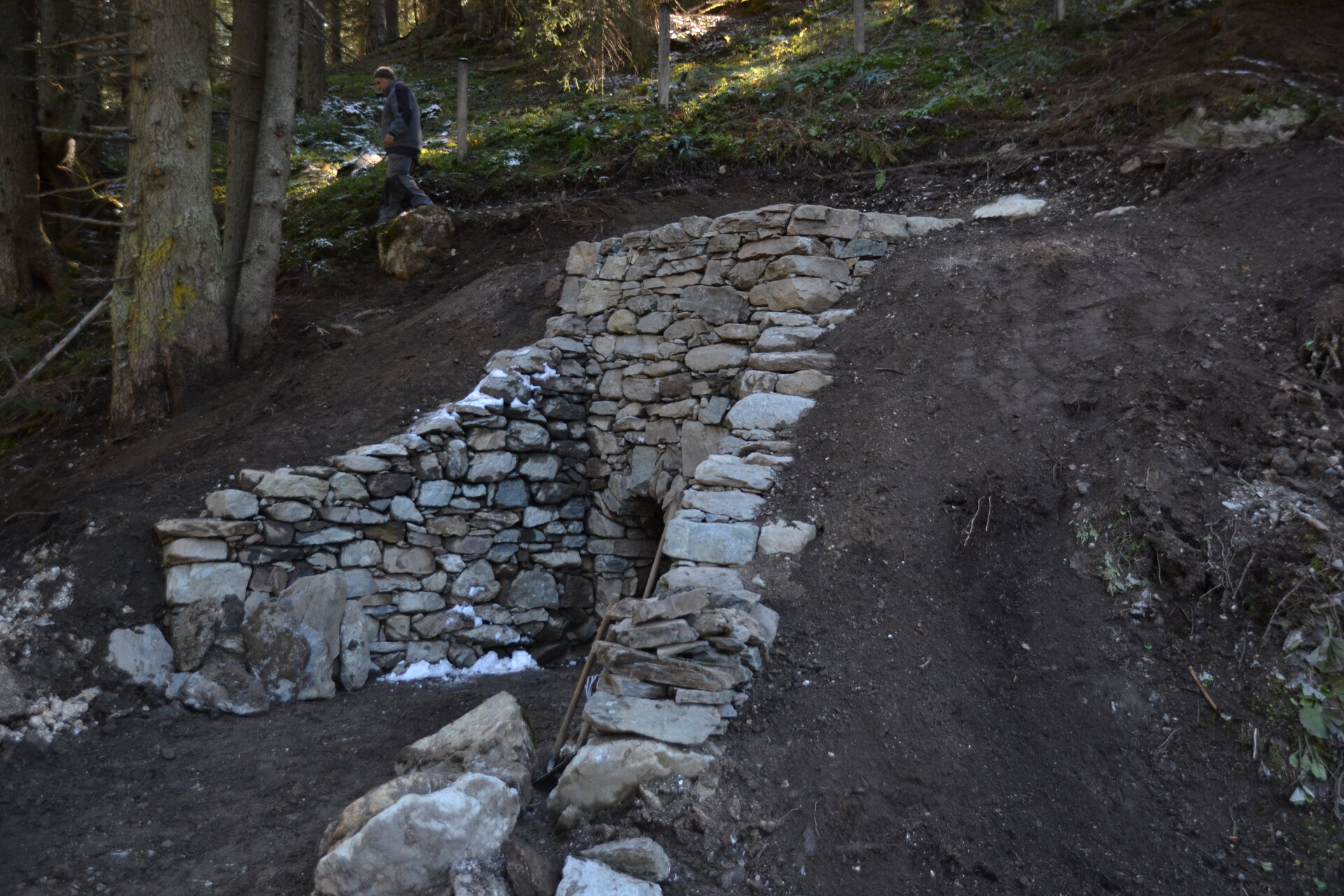
From the starting point of the Alpenmosaik Montafon at the valley station of the Gargellen Mountain Railways, hike into the valley toward Vergalden. After crossing the road, the trail leads you parallel to the road into the forest. After about 100 meters, you’ll reach a small wooden hut and, just beyond it, a bridge over the Valzifinzbach. Immediately after that, you’ll arrive at the Kalkofen.

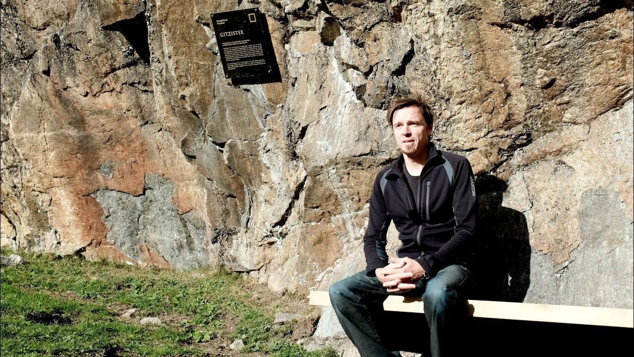
From the lime kiln, the trail continues uphill, across the road, and through the forest to a trail junction. There, turn right and cross the bridge to the Gitzistee. The trail continues across a small stream to the Schwefeltobel. Cross it and follow the forest road for about 200 meters toward Rüti.

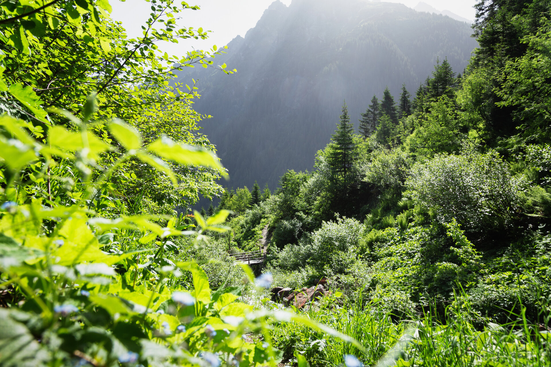
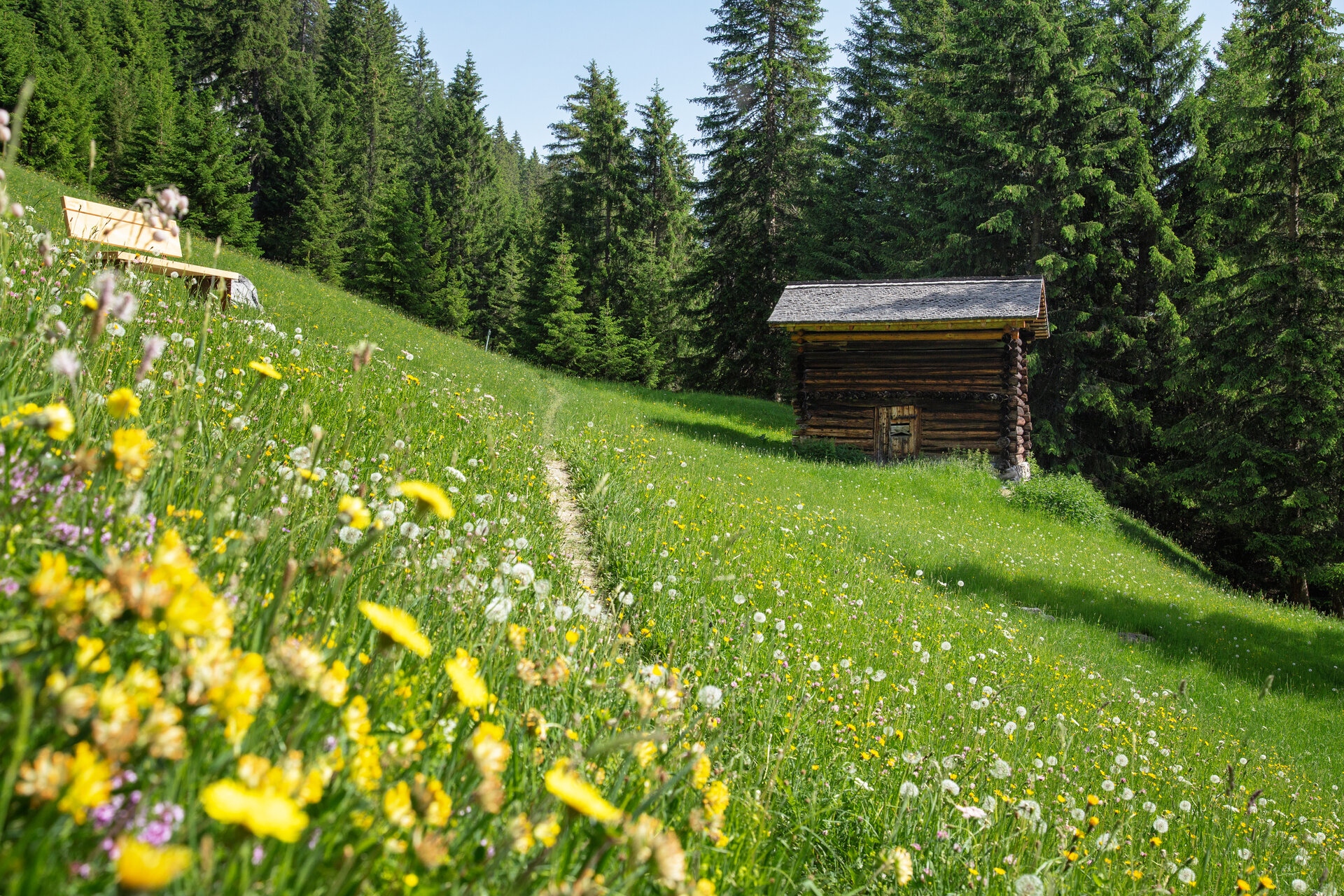
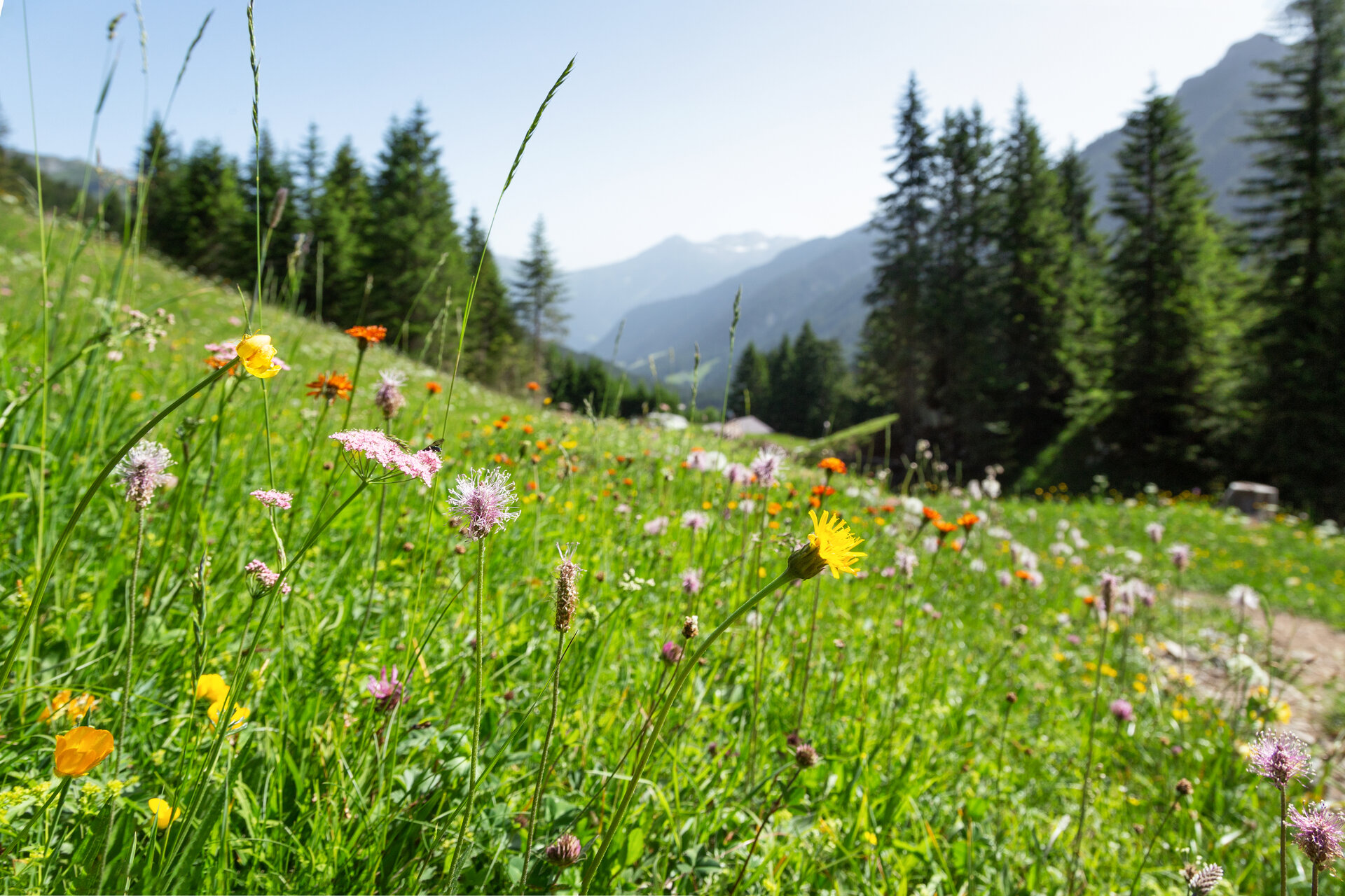
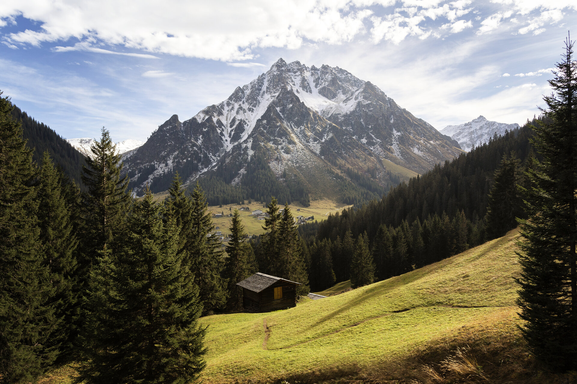
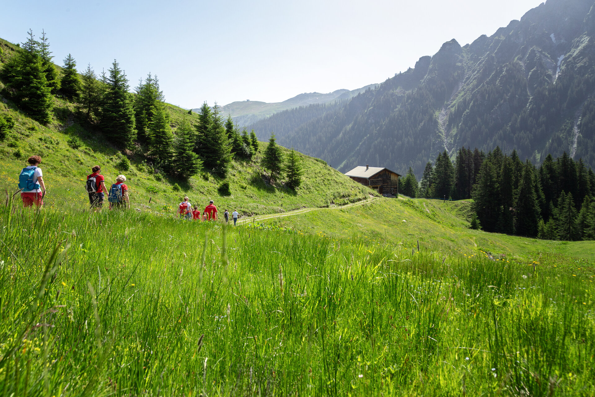
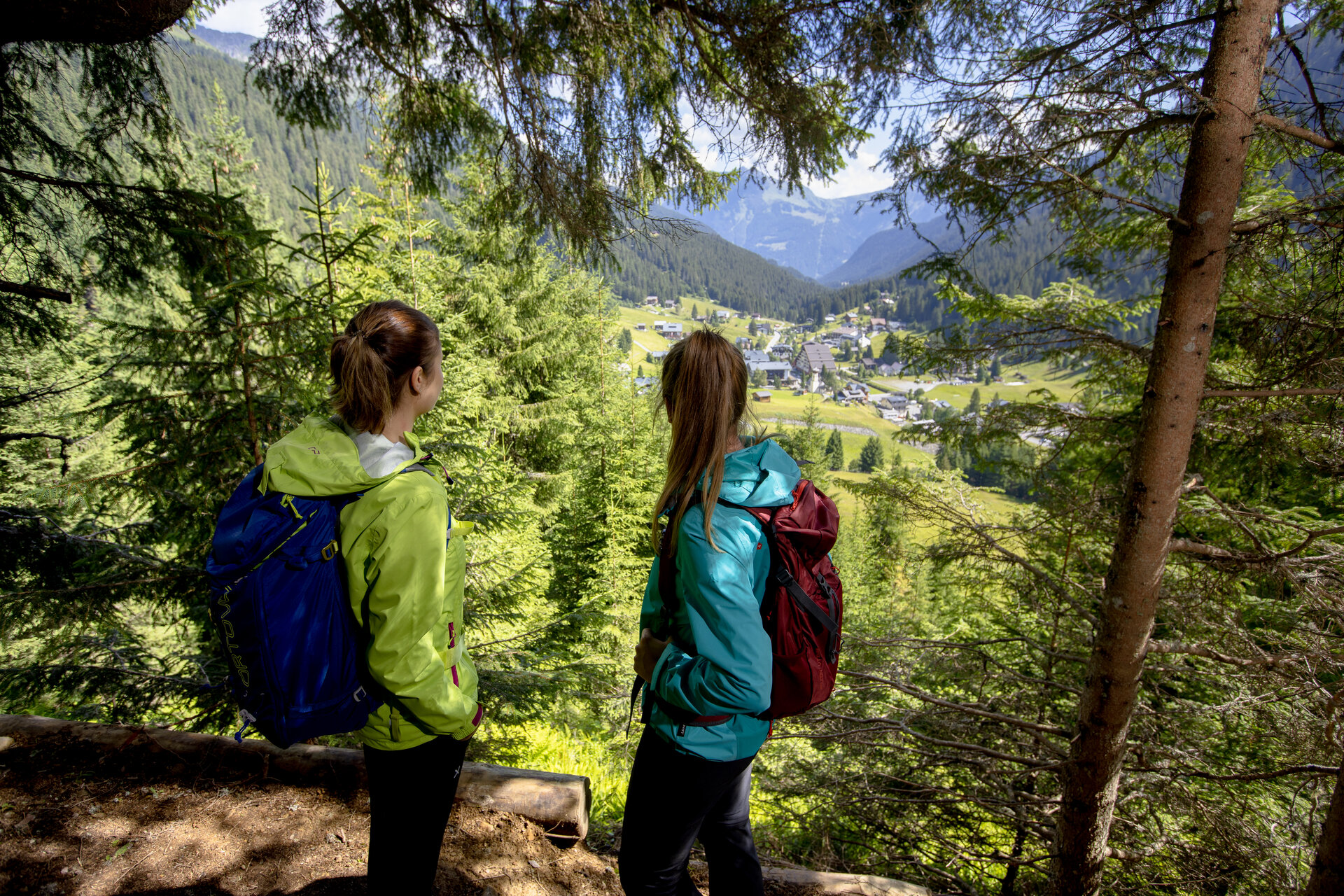
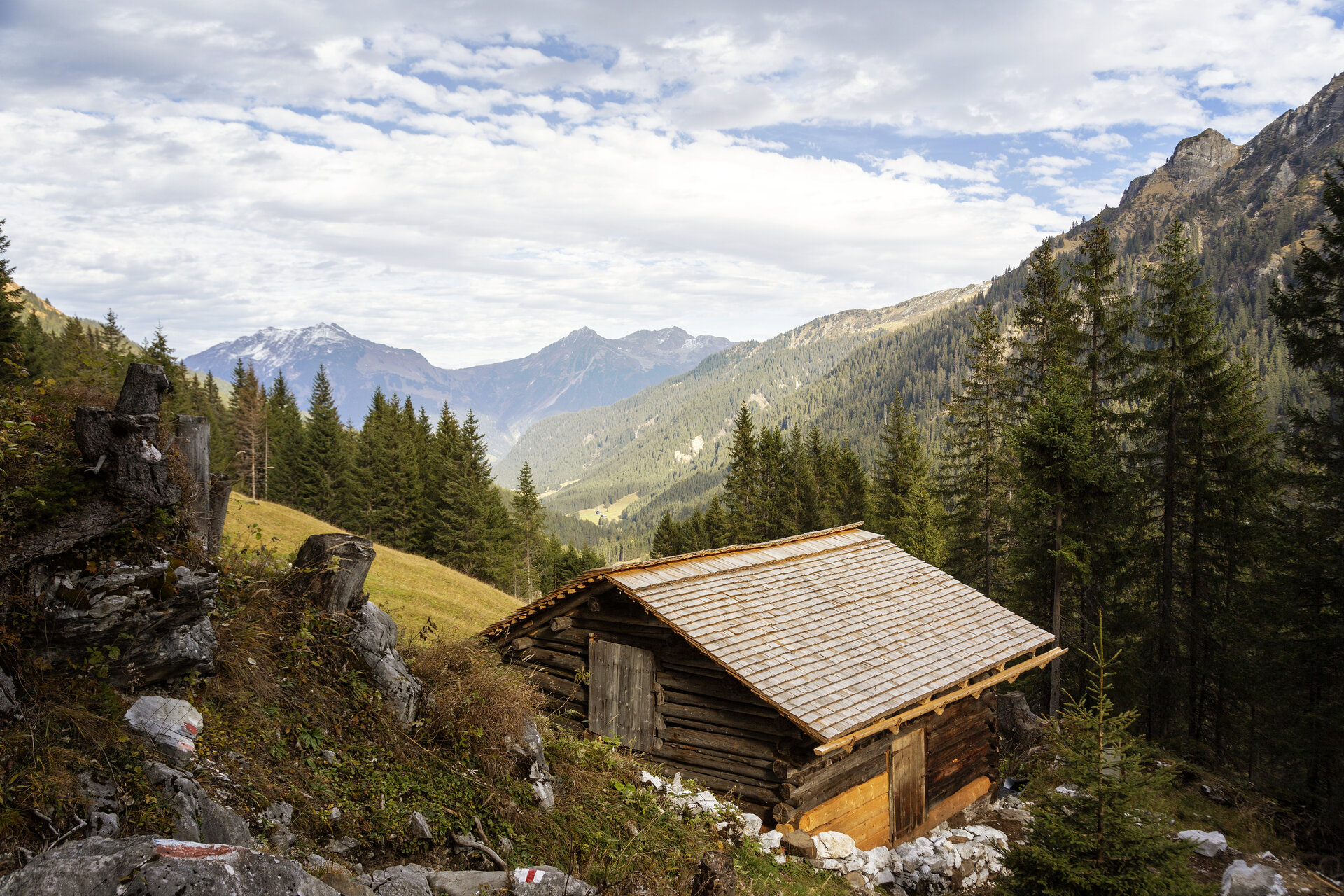
Then a small path branches off to the right into the forest. Passing two lookout points, you’ll reach the Alptobel. Crossing the bridge and continuing toward Rüti, the trail winds uphill through the forest in switchbacks to the barn at Rüti. From there, you’ll hike across the alpine landscape toward Ronggalpe. As you do so, a view of the geological “Gargellner Fenster” opens up on your left.

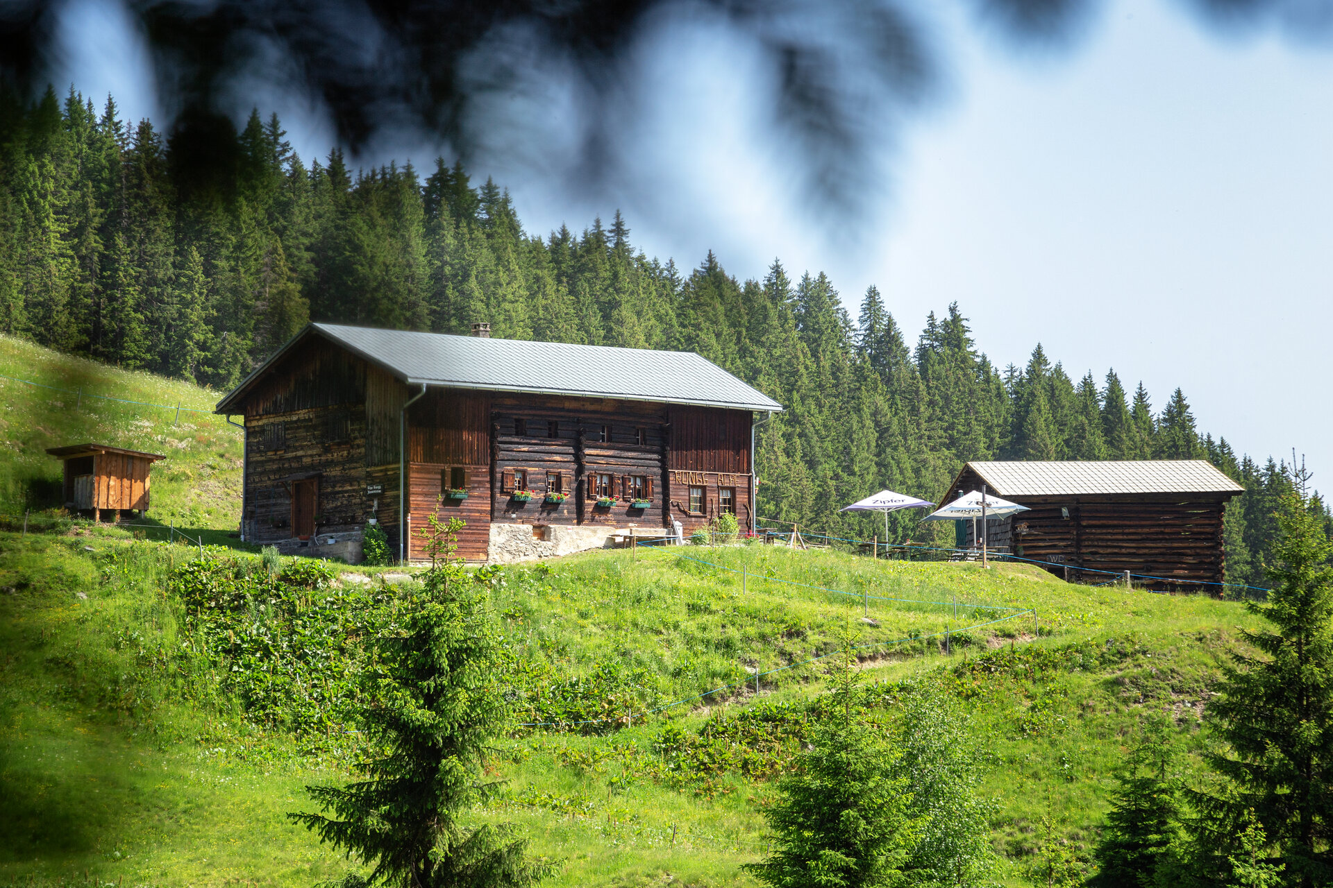
Following more forest trails, you’ll reach Ronggalpe. After a break, the route takes you back down the valley toward Gargellen via Röbi. At the main road, cross the street and follow the path briefly along the Suggadinbach stream. After about 200 meters, the trail leads uphill across an open meadow toward Juliusruhe.

Before reaching Juliusruhe, cross the forest road and turn left. Above Gargellen, the trail continues toward Vergalden. A meadow path leads you into the Vergaldner Wäldle. At the end of the hiking trail, the route takes you downstream back to the starting point.

End Point
Gargellen, valley station of the Gargellner Bergbahnen

Getting to the starting point

Getting to the Starting Point
The starting point for the tour is the valley station of the Gargellner Bergbahnen in Gargellen.
By public transportation:
The Montafon regional bus and the Montafonerbahn provide convenient and flexible travel throughout the valley. Trains and buses run regularly between the towns, every half hour or every hour depending on the route. You can find the right connection HERE. Bus stop for the start/end of this tour: Gargellen Bergbahnen Gargellen.

By car:
Take the A14 to the Bludenz/Montafon exit, then follow the Montafonerstraße L188 to St. Gallenkirch. There, turn right onto Gargellnerstraße and follow it to Gargellen. In Gargellen, drive past the valley station of the Gargellner Bergbahnen until you reach the Vergalden turnoff. Parking is available past the bridge.
Important Information

For this hike, we recommend ankle-high hiking boots with good traction. Hiking poles can help you on the ascents and descents.

Tips

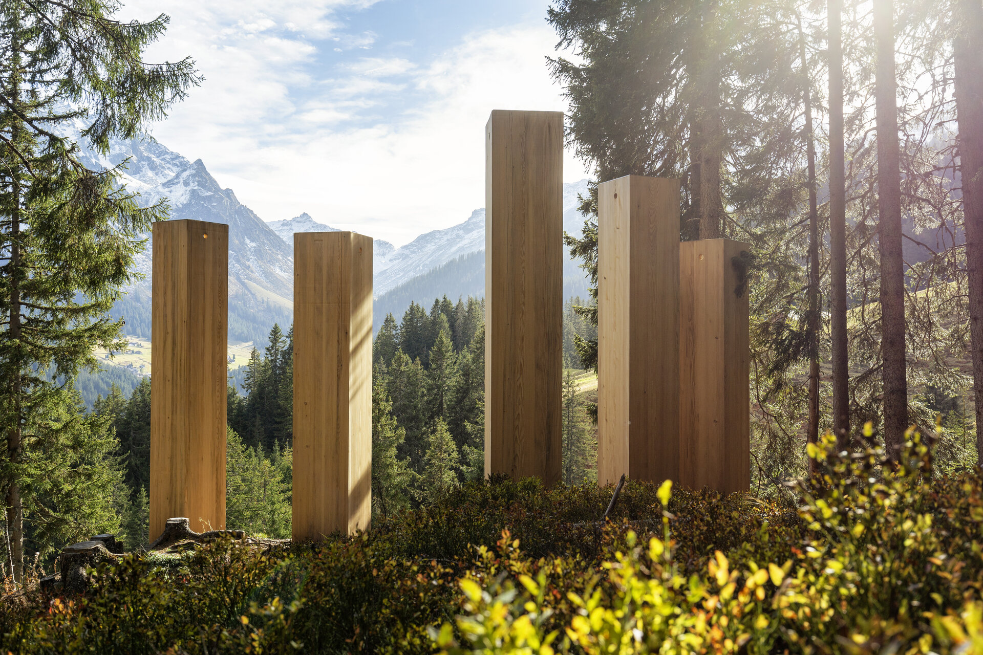
From the Ronggalpe, you’ll enjoy a beautiful view of Gargellen and Vergalden. Stopping for a slice of bread with bacon or cheese is a delightful way to take a break.

Sicherheitstipps für Wandern in Vorarlberg

EN NOTRUF:

EN 140 - Alpine Notfälle österreichweit 

EN 144 - Alpine Notfälle Vorarlberg 

EN 112 - Euro-Notruf (funktioniert mit jedem Handy/Netz) 

Properties
Route type Themenweg, Hiking, Alpine mosaic – valley, Alpine mosaic, Refreshment stops, Round trip, Family-friendly
Difficulty Moderate
Start Talstation Bergbahnen Gargellen
Finish Talstation Bergbahnen Gargellen
Elevation profile
Best months
Jan
Feb
Mar
Apr
May
Jun
Jul
Aug
Sep
Oct
Nov
Dec