High​-​altitude hike to Piz Buin ​(​3​-​312 m​)​

Difficult
Einkehrmöglichkeit
Mountaineering · Refreshment stops · Partenen - Bielerhöhe
09:00 h duration
21,9 km Length in km
3312 m Highest point
2027 m Lowest point
1543 m gain Ascent
1543 m gain Descent
Stamina
Skill
Difficulty
Adventure
Scenery

Tour description

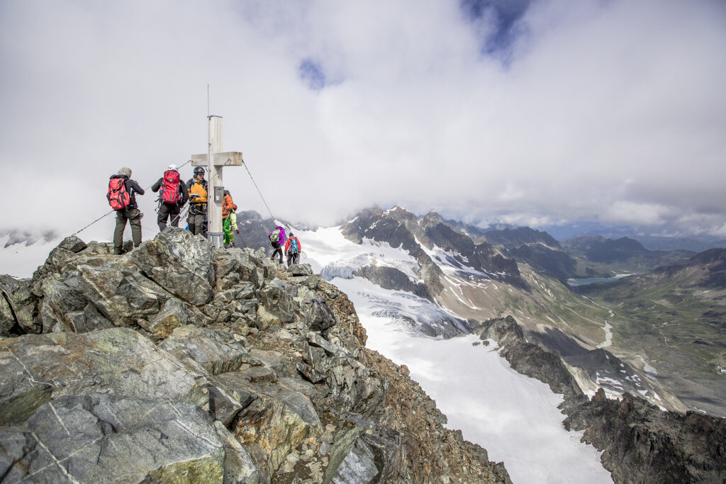
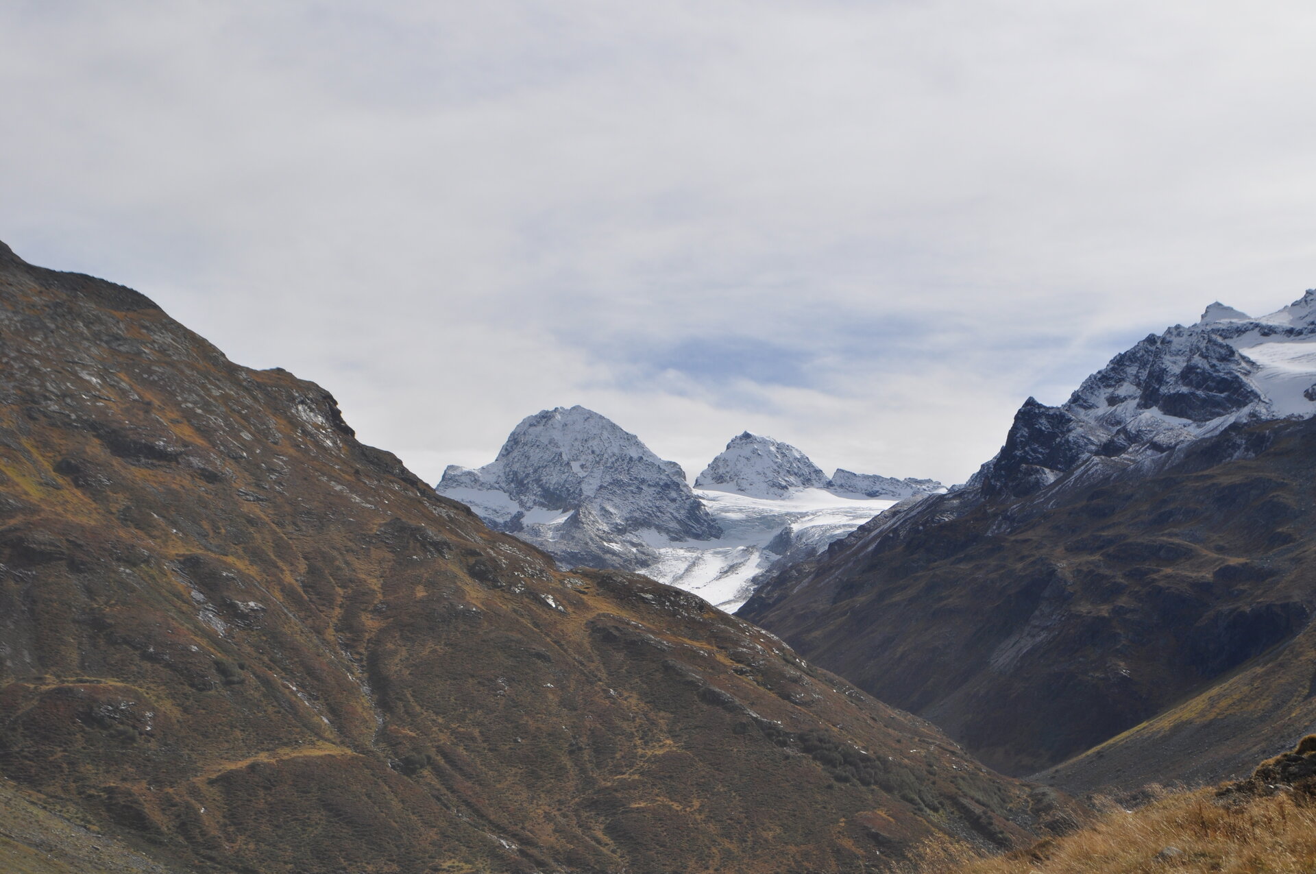
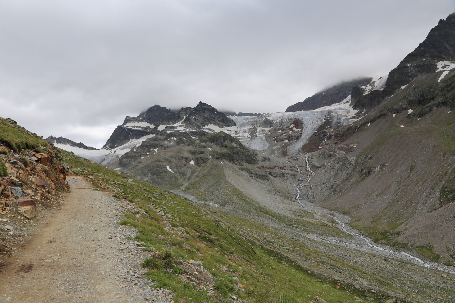
A challenging alpine hike to Piz Buin, Vorarlberg's highest mountain, that takes you across the Ochsentaler Glacier and through some easy climbing sections to one of the most striking peaks in the Silvretta range.

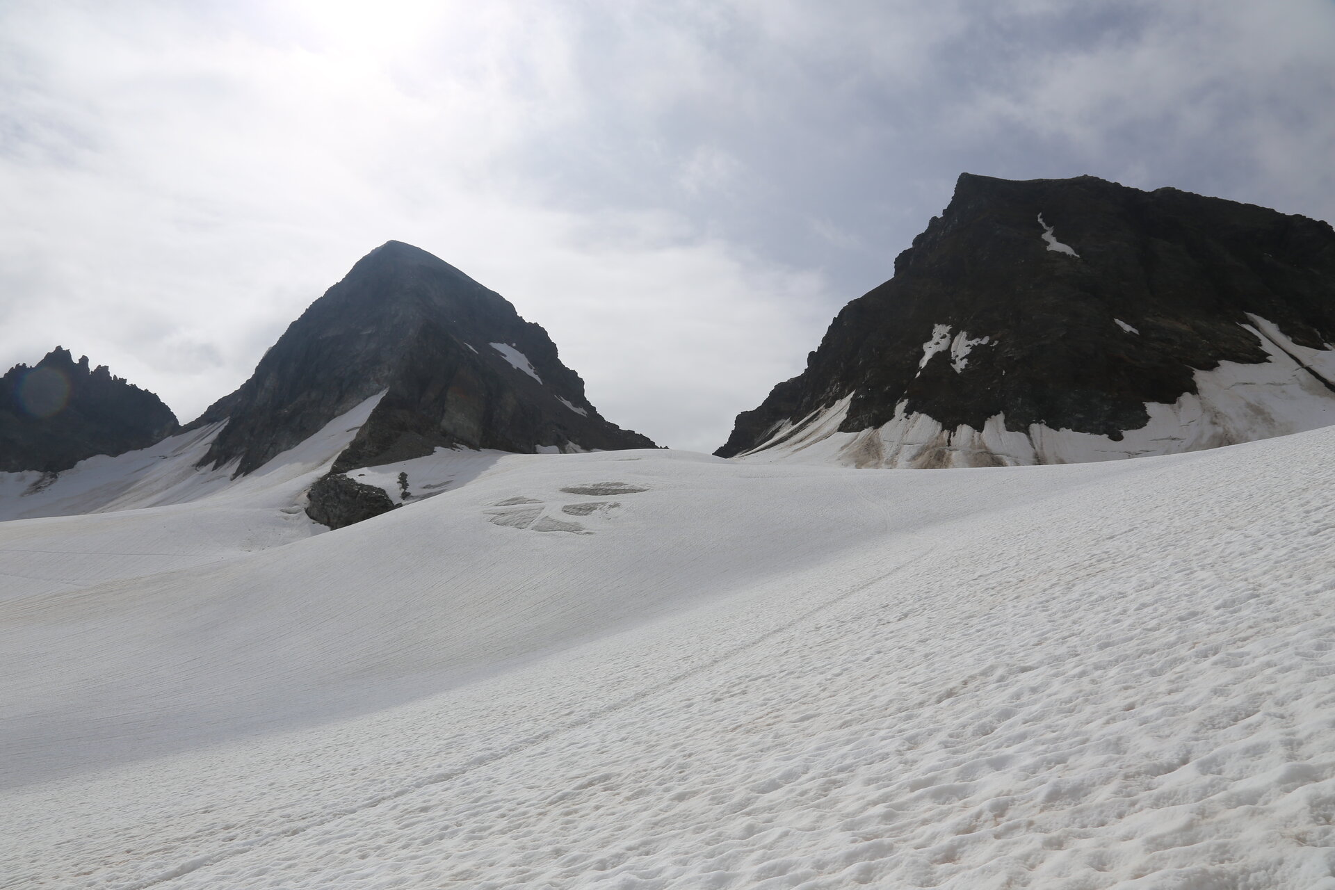
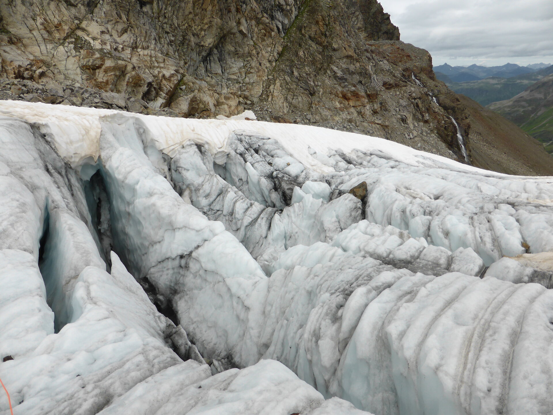
From the Silvretta-Bielerhöhe, you first ascend to the Wiesbadener Hut, which serves as an ideal base for an overnight stay before the summit hike. From there, the route leads in a rope team across the crevasse-ridden Ochsentaler Glacier to the Buinlücke and then over rocky, partially exposed terrain with easy climbing sections to the 3,312-meter-high summit. The tour requires excellent physical fitness, sure-footedness, a head for heights, and experience in high-alpine terrain and on glaciers.

Starting Point - Directions - End Point

Starting Point
Silvretta-Bielerhöhe

Directions
Silvretta-Bielerhöhe – Silvrettasee – Ochsental or Sommerweg – Wiesbadener Hut – Ochsental Glacier – Buinlücke – Piz Buin (3,312 m) – back to the Wiesbadener Hut – Silvretta-Bielerhöhe

End point
Silvretta-Bielerhöhe

Getting to the starting point

The Silvretta High Alpine Road is expected to remain closed until summer 2030. Therefore, in the summer, you cannot reachthe Bielerhöhe from the Montafon by car or public transportation via the High Alpine Road; instead, you must take the Vermuntbahn from Partenen and then transfer to the tunnel bus.

You can find more information here.

By Public Transportation

With the Landbus Montafon and the Montafonerbahn, you can get around the valley comfortably and flexibly. The train and bus connect the towns regularly, every half hour or every hour depending on the route. You can find suitable connections in the cleVVVer mobil schedule app. The nearest stop is “Partenen Bergbahnen Talstation.” From there, you can reach the Vermuntbahn valley station in just a few minutes on foot.

By car

By car, drive to Partenen to the valley stations of the Vermuntbahn or Tafamuntbahn. The two valley stations are only a few minutes’ walk apart. Parking is available near the valley stations. Since parking conditions may change due to construction work, please follow the current on-site signage and check in advance for available parking spaces.

Important Information

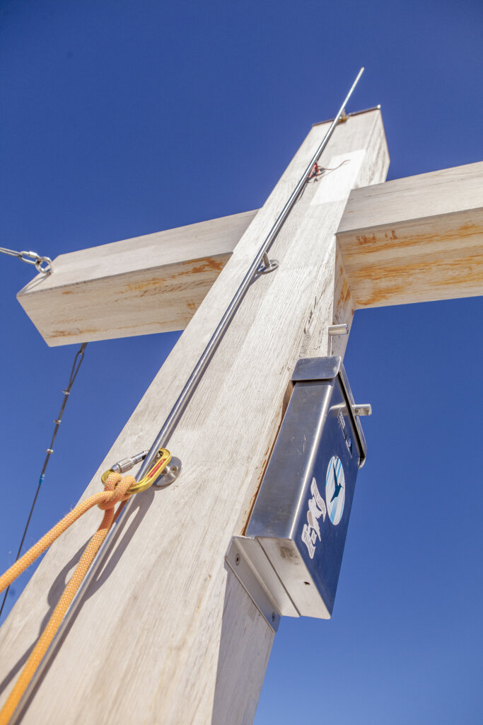
The ascent of Piz Buin is an alpine high-altitude climb, not a classic mountain hike. The route crosses a crevasse-ridden glacier and requires hiking as part of a rope team, as well as alpine climbing gear, including a rope, crampons, and an ice axe. In the summit area, there are also rocky and, in some places, exposed climbing sections.

We recommend that you undertake the ascent with a state-certified mountain guide. Current conditions on the glacier can change rapidly and must be assessed immediately before the tour. The Montafon Mountain Guides offer guided ascents of Piz Buin.
Montafon Mountain Guides

Personal gear should include plenty of drinks and food, warm and weatherproof clothing, gloves and a hat, sunglasses and sunscreen, as well as a full set of high-altitude hiking gear. The specific equipment should always be adapted to current conditions and the recommendations of the female or male mountain guide.


Tips

Ideally, plan this as a two-day trip and head up to the Wiesbadener Hütte the day before. To reach the hut, you can hike either through the Ochsental valley or via the more challenging Sommerweg trail. The Wiesbadener Hut is located at 2,443 meters and is a classic starting point for the ascent of Piz Buin.

Reserve your lodging well in advance directly with the Wiesbadener Hut. This way, you can set out early the next morning for your high-altitude hike and will have plenty of time to spare for the long day ahead.

Sicherheitstipps für Wandern in Vorarlberg

EN NOTRUF:

EN 140 - Alpine Notfälle österreichweit 

EN 144 - Alpine Notfälle Vorarlberg 

EN 112 - Euro-Notruf (funktioniert mit jedem Handy/Netz) 

Properties
Route type Mountaineering, Refreshment stops
Difficulty Difficult
Start Silvretta-Bielerhöhe
Finish Silvretta-Bielerhöhe
Elevation profile
Best months
Jan
Feb
Mar
Apr
May
Jun
Jul
Aug
Sep
Oct
Nov
Dec