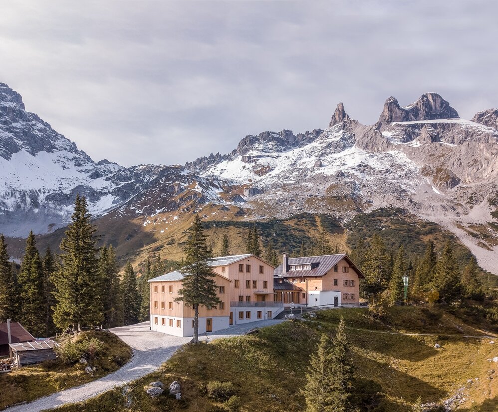
Hiking route Lünersee-Rätikon "Easy" - Totalphütte to Lindauer Hütte

Tour description
A varied high mountain route in the Rätikon with breathtaking views.
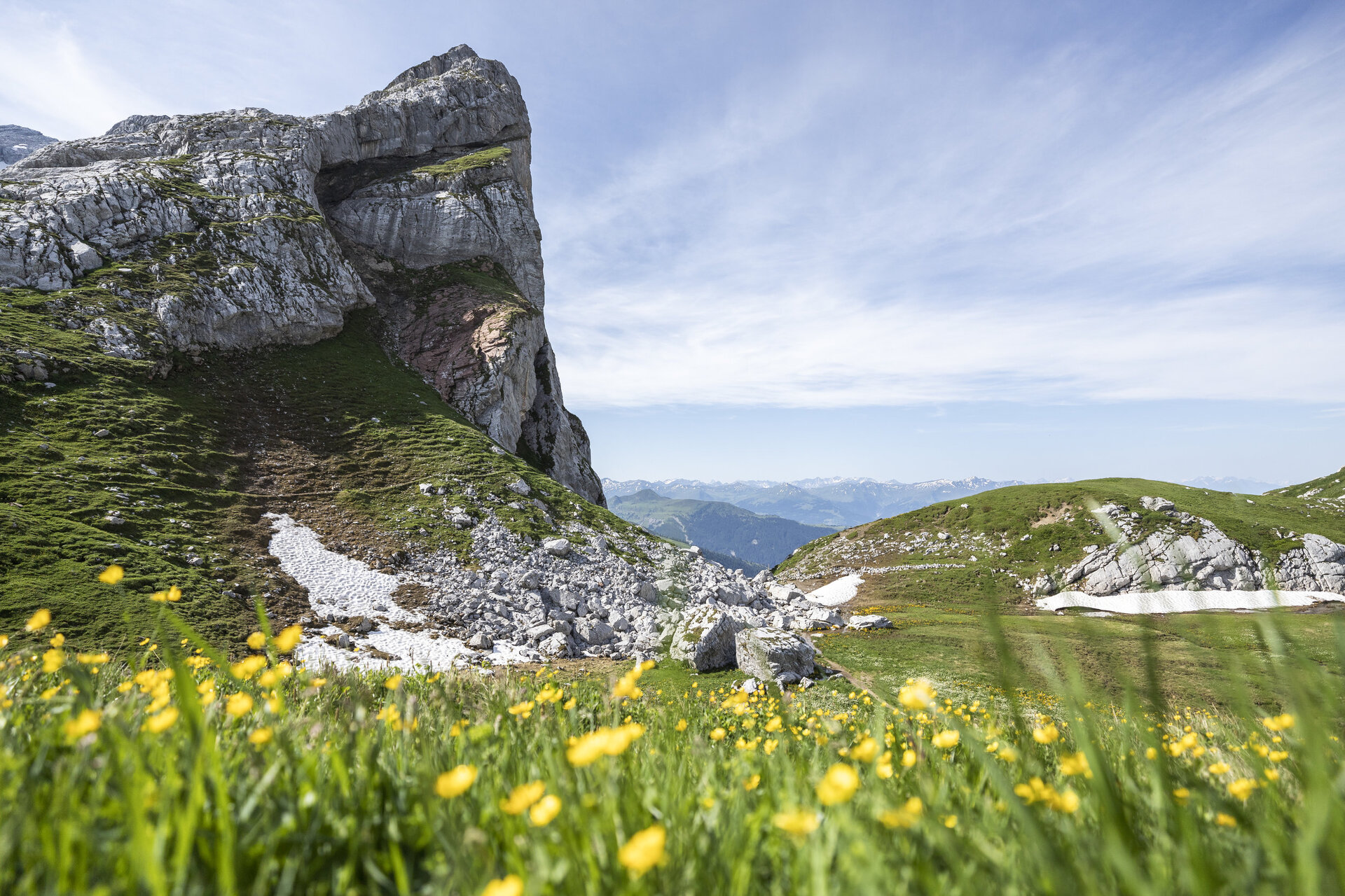
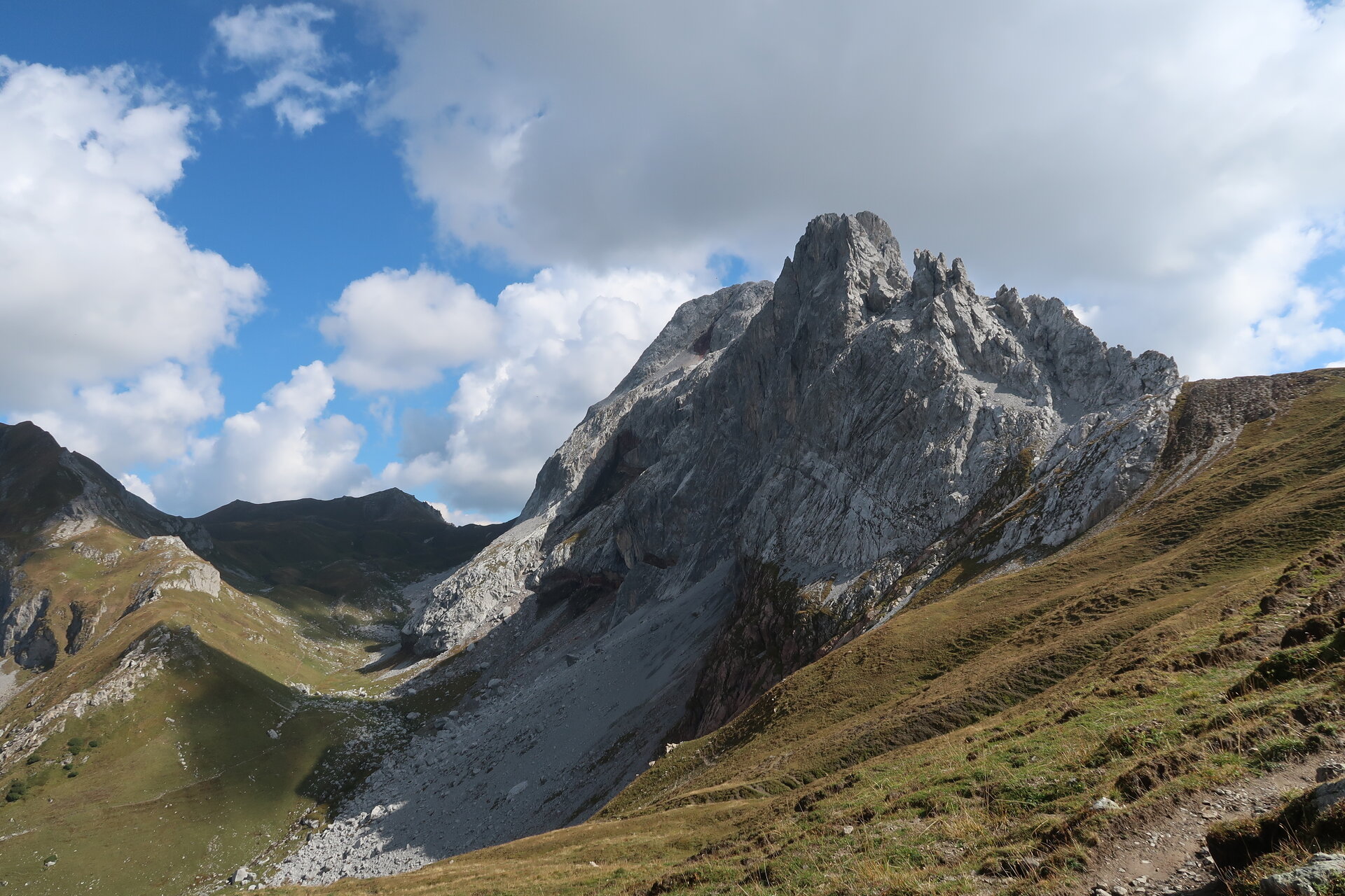
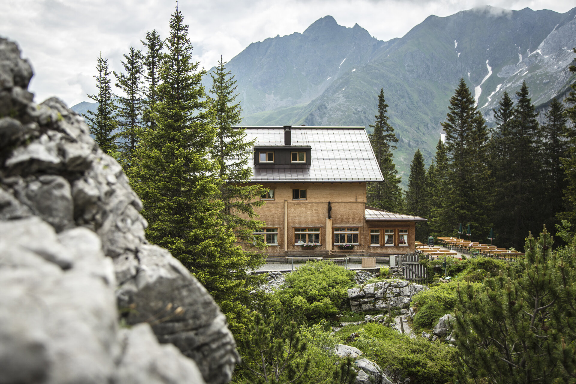
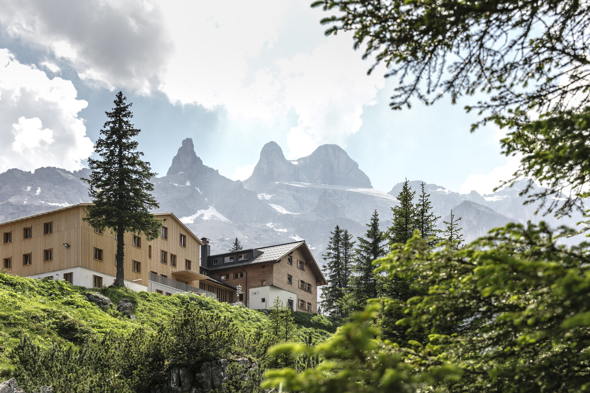
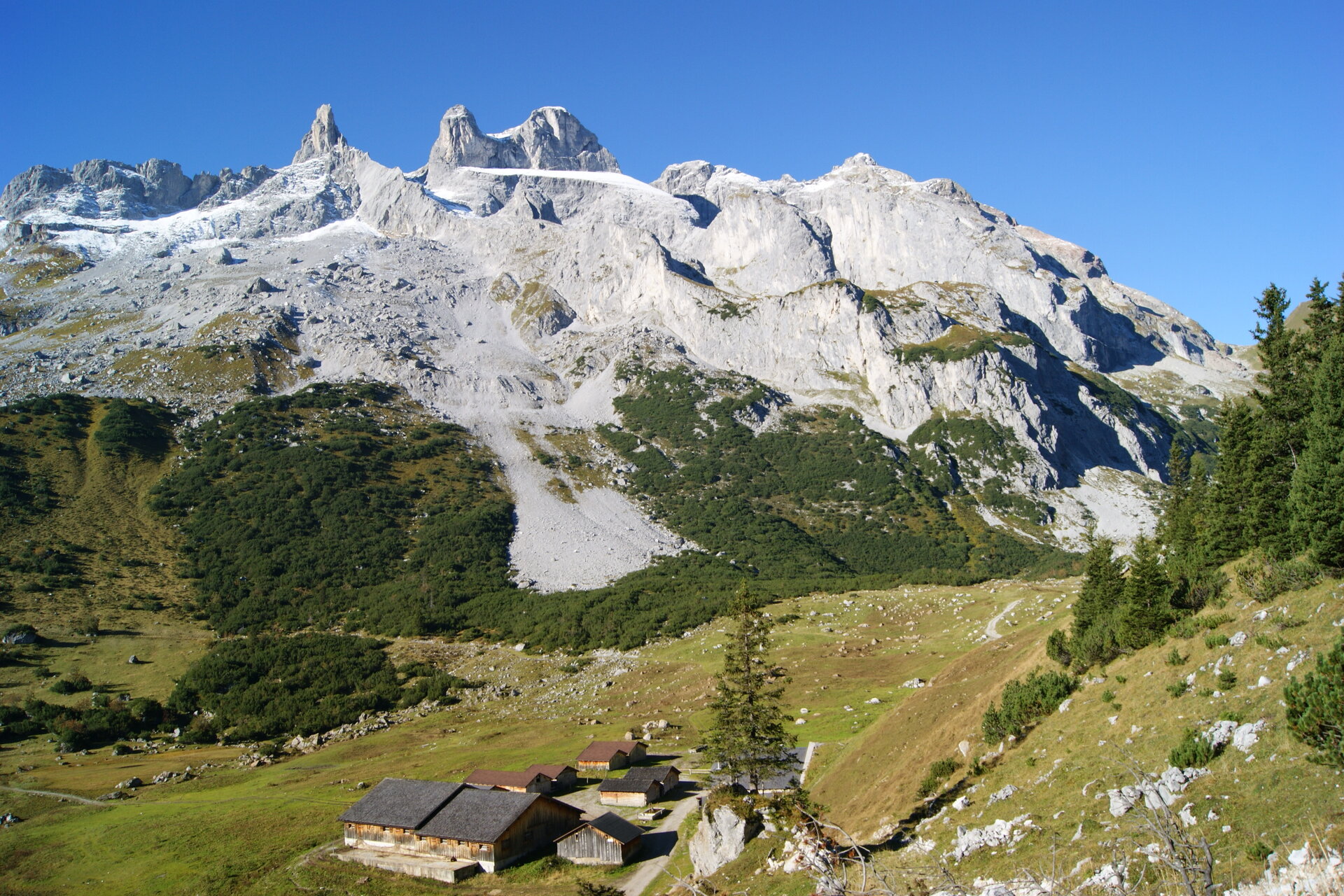
A route for mountain enthusiasts who appreciate the natural beauty of the mountains as well as refined regional cuisine. The hiking trails lead through the varied Rätikon. The limestone of the Rätikon in contrast to the blooming alpine meadows on the steep walls of the impressive mountain peaks.
Important: On this route, you should plan your personal daily sections and reserve overnight stays in the huts in advance!
Approach
This section is also accessible by the Lünerseebahn from the Brandnertal.
Public transport
This section is also accessible by the Lünerseebahn from the Brandnertal.
Parking
There are numerous parking options at the Lünerseebahn.
Directions
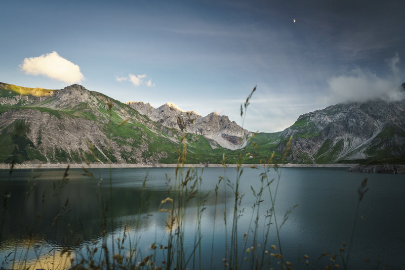
From the Totalphütte, the route goes around the Lünersee and past the Lünersee-Alpe further to the Vera Joch. From here, you already have the first view of the impressive Schweizer Tor before continuing over the Öfapass to the Lindauer Hütte.
Equipment
Good, ankle-high mountain boots with a good tread, sufficient food and drinks, hiking poles recommended.
Tips
Have you ever tried the Montafoner Sura Kees?
Destination
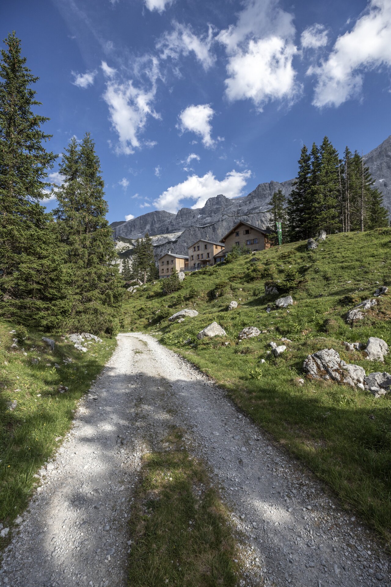
Lindauer Hütte
Starting Point
Totalphütte
Sicherheitstipps für Wandern in Vorarlberg
EN NOTRUF:
EN 140 - Alpine Notfälle österreichweit
EN 144 - Alpine Notfälle Vorarlberg
EN 112 - Euro-Notruf (funktioniert mit jedem Handy/Netz)