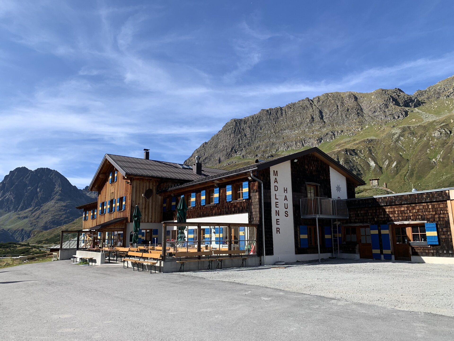
Montafon Silvretta round | Silvretta-Bielerhöhe to Tübinger Hut

Tour description
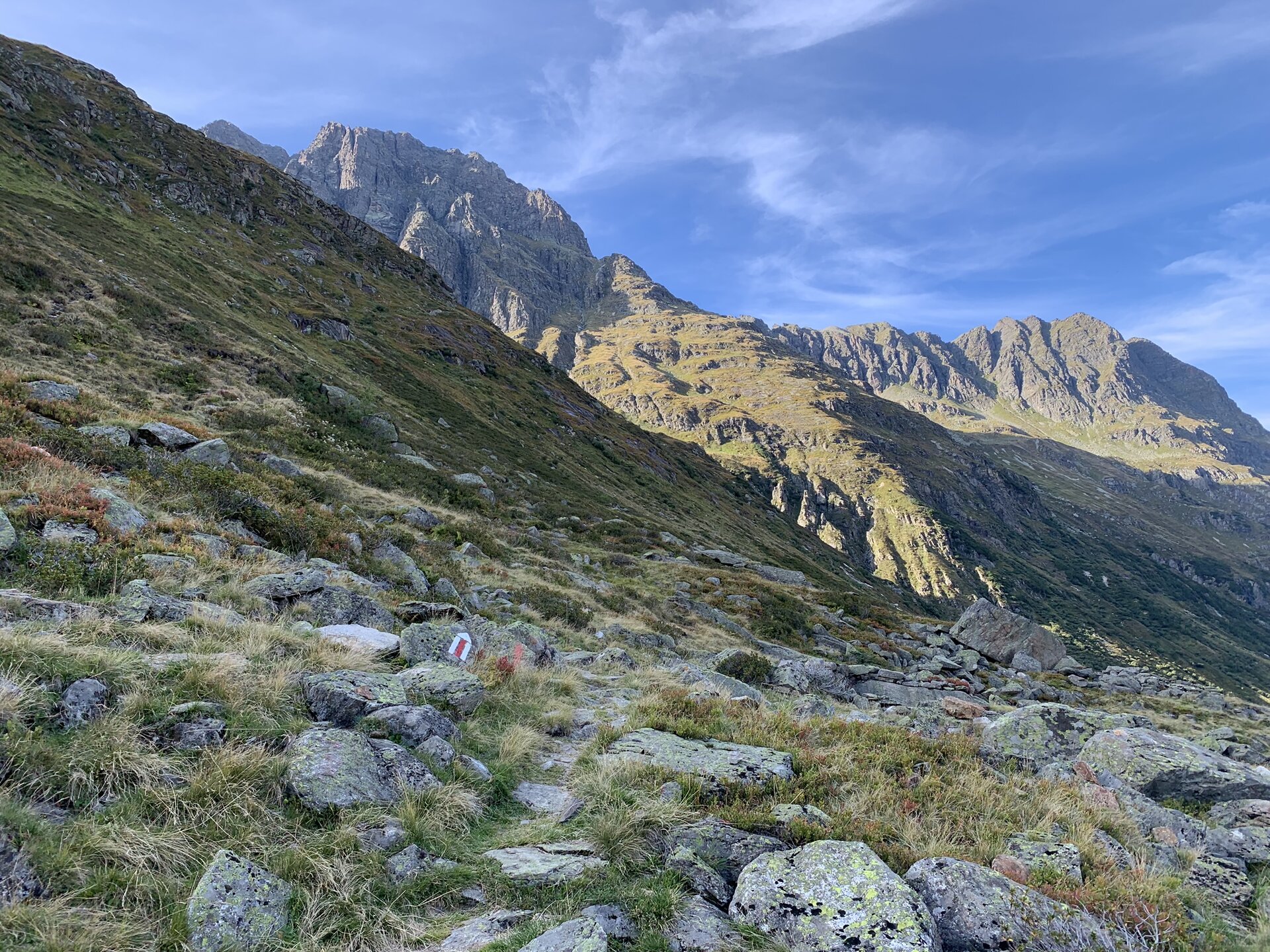
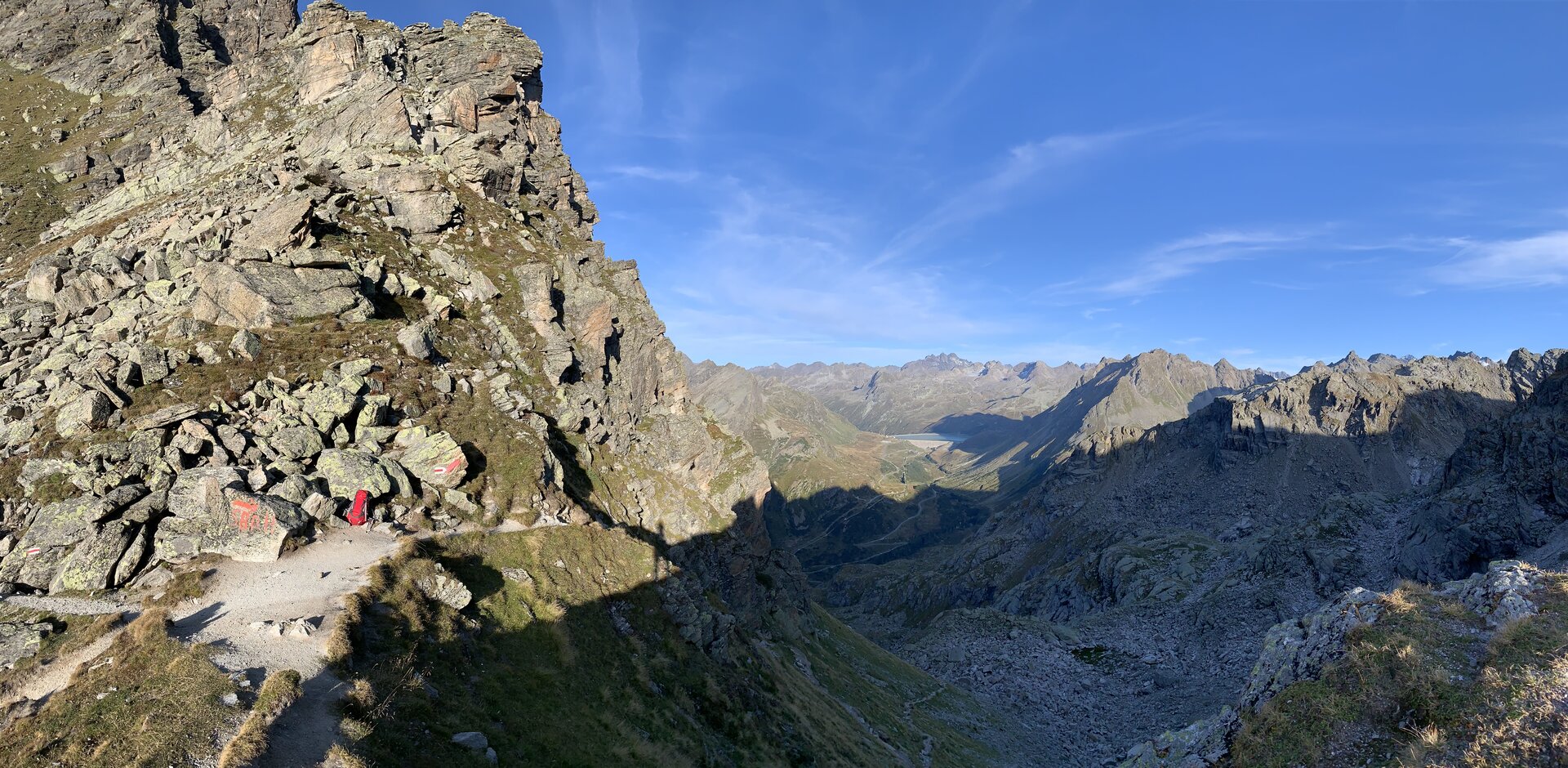
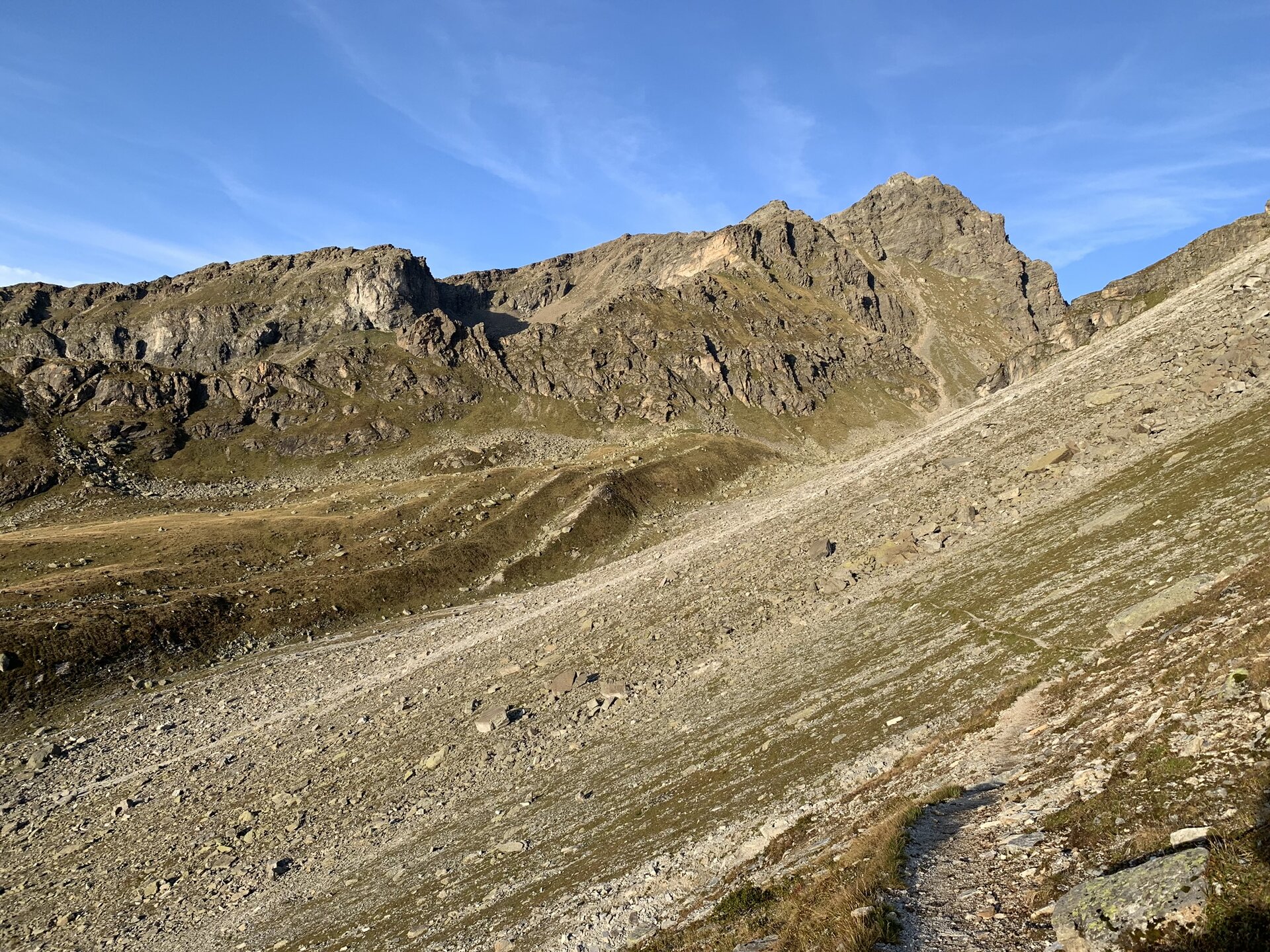
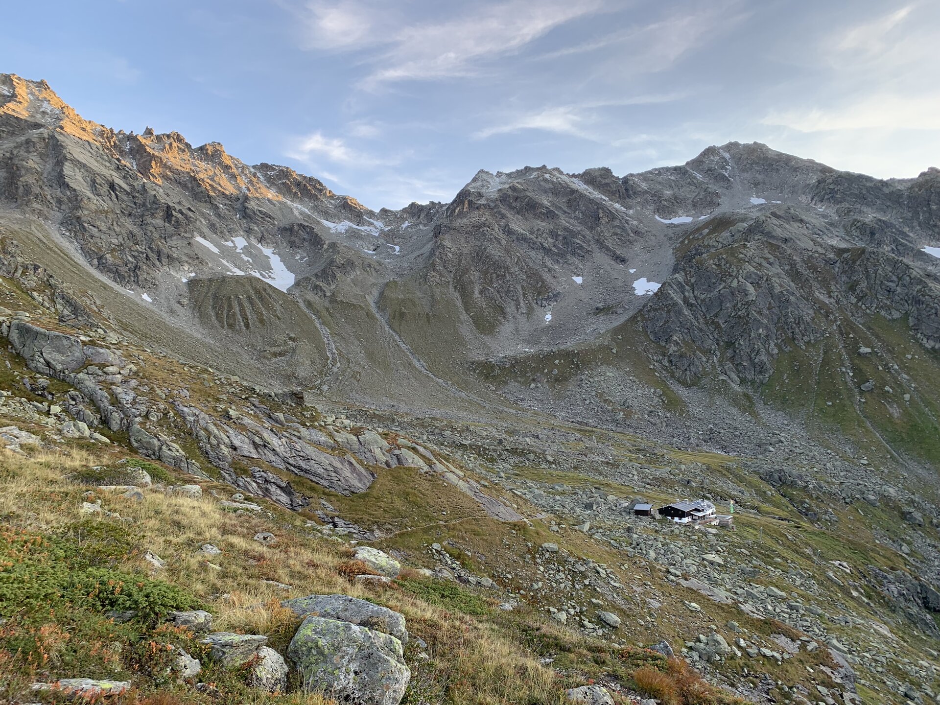
Take your first steps in the high-alpine world of the Silvretta and experience the barren, rocky landscape of the Silvretta Mountains on your way to the Hochmadererjoch.
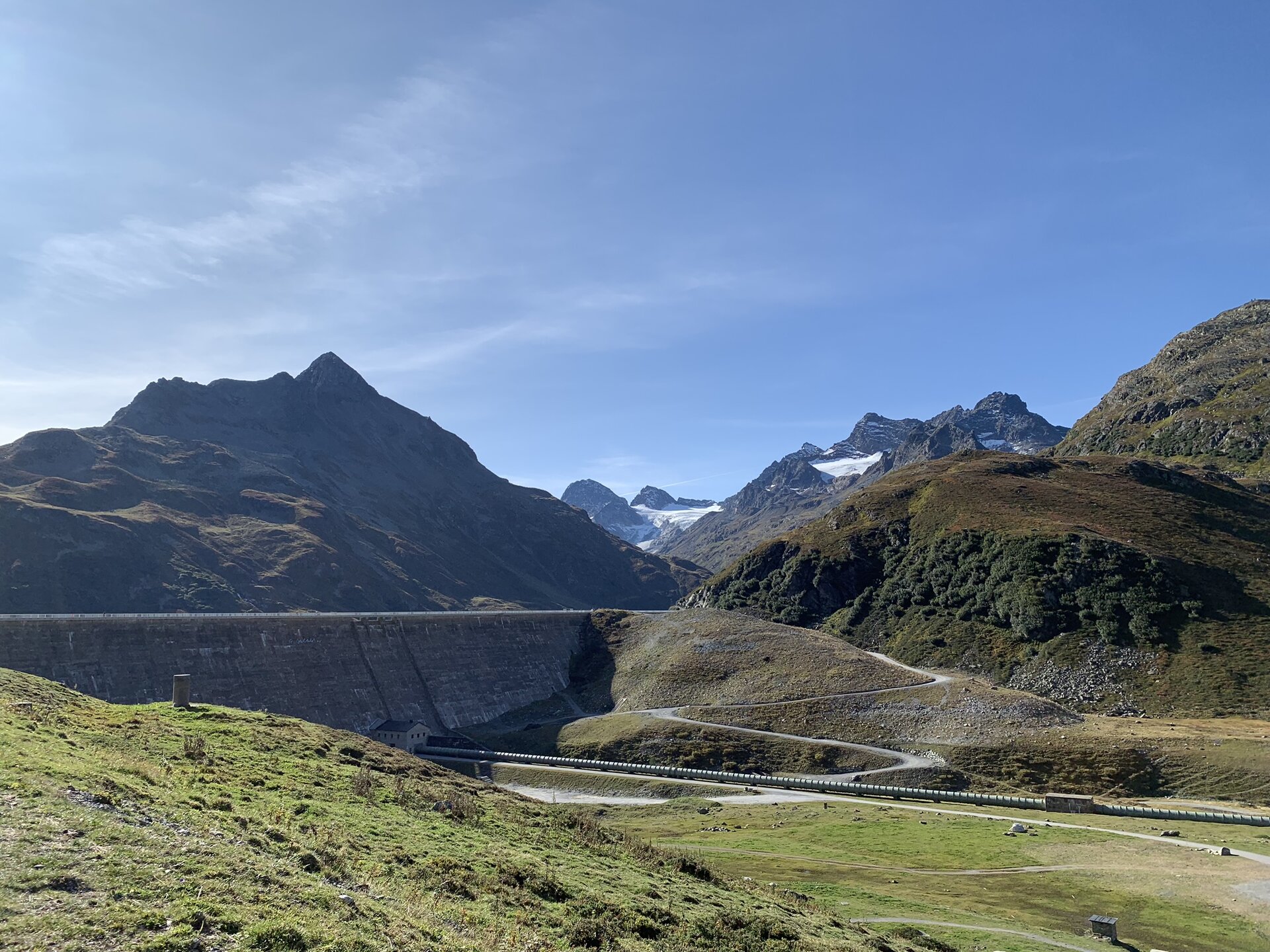
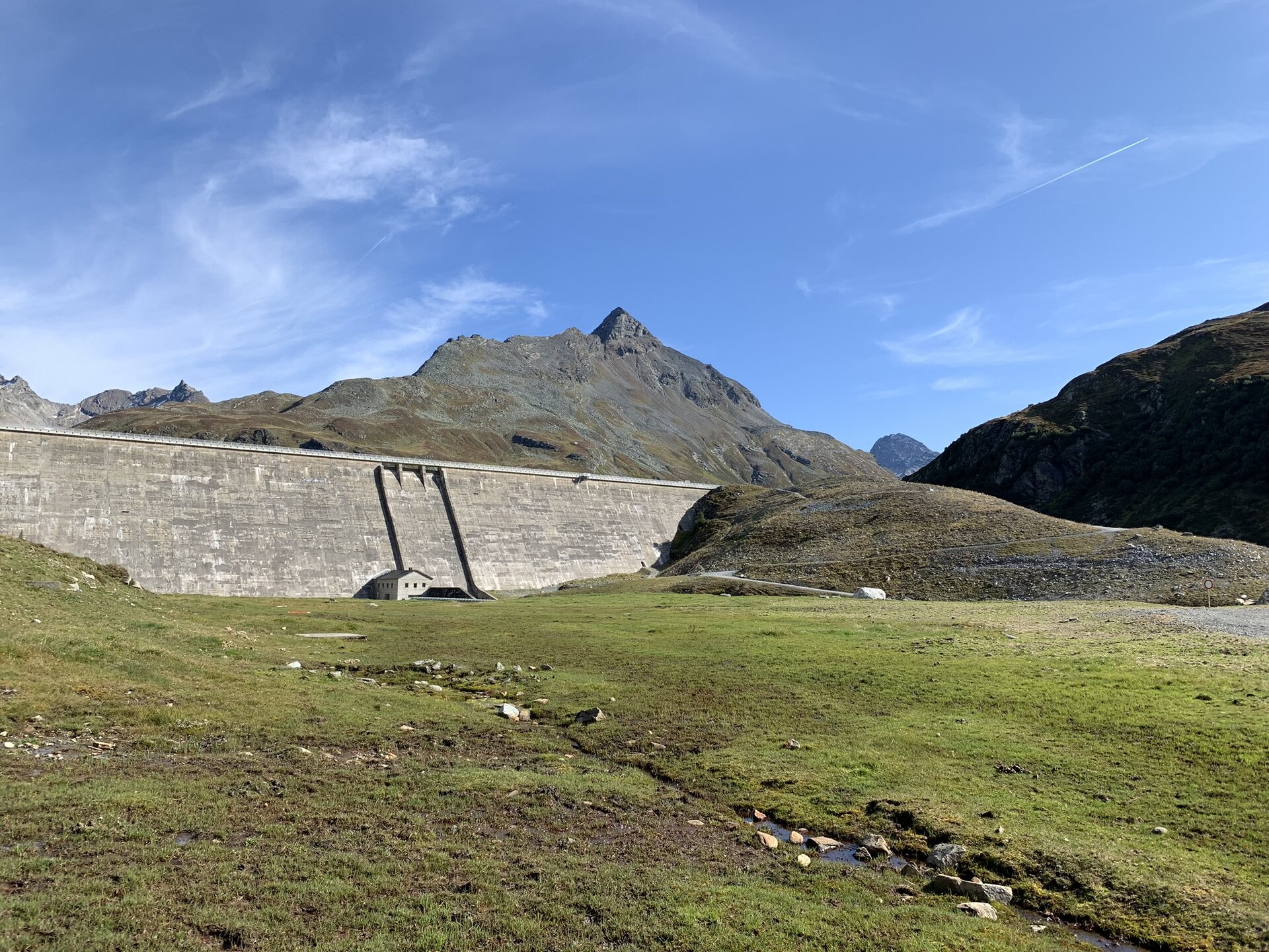
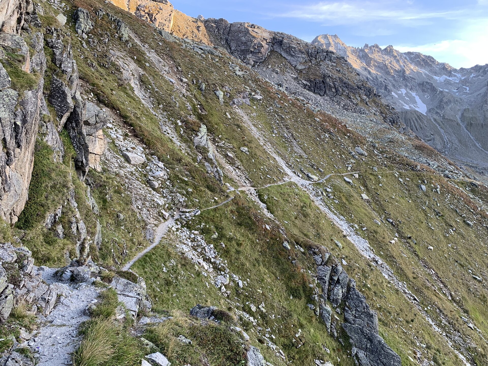
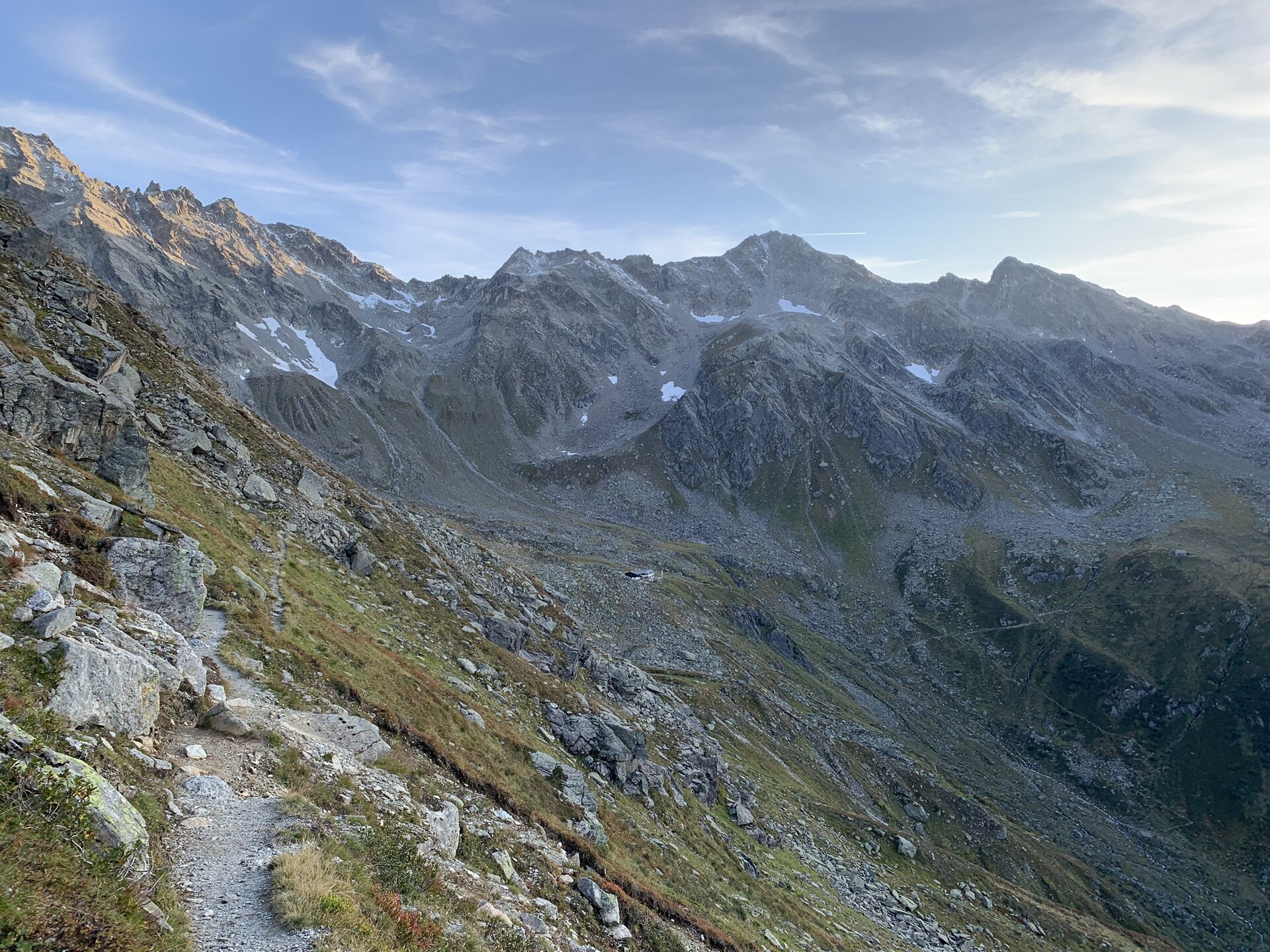
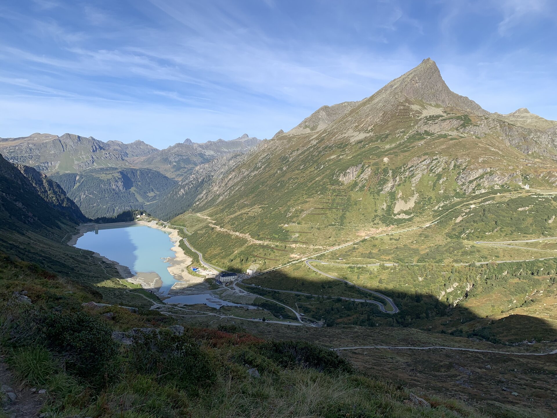
The first stage of the Silvretta Circuit in Montafon offers a striking glimpse into the unique character of the Silvretta. Barren landscapes and towering rocky peaks define the high-alpine setting and give you a real sense of the mountain range’s vastness.
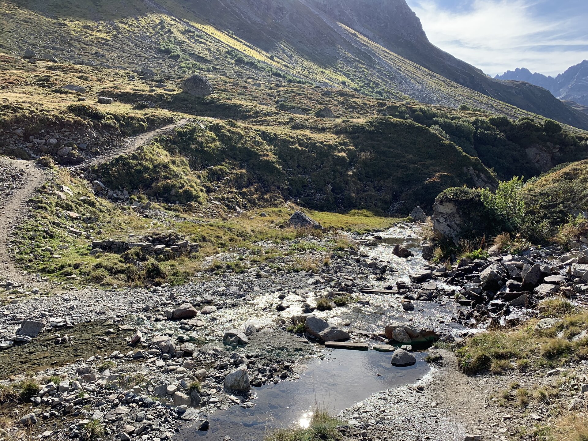
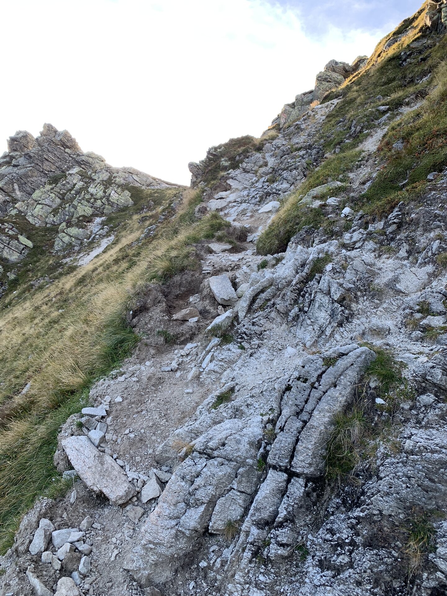
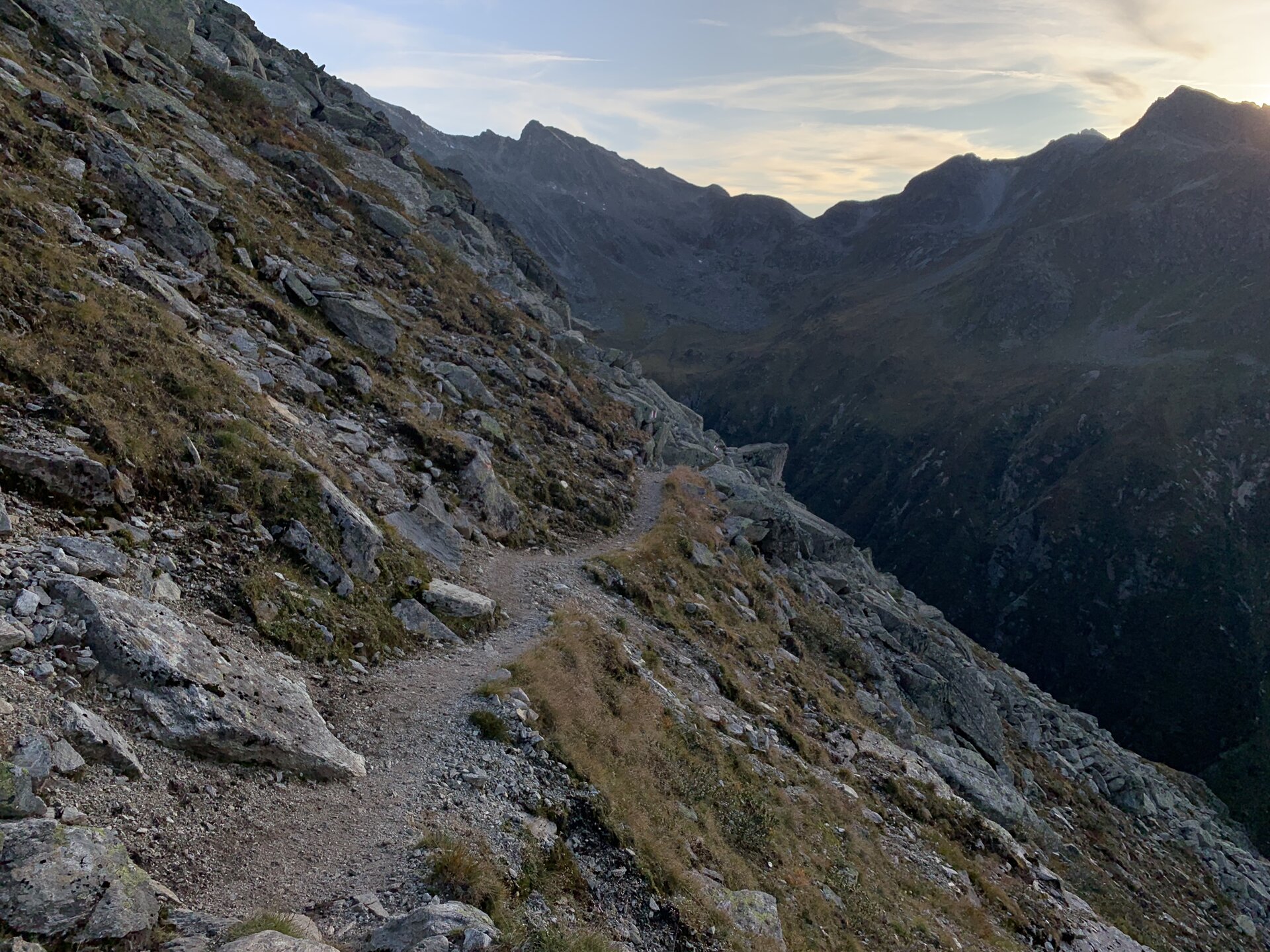
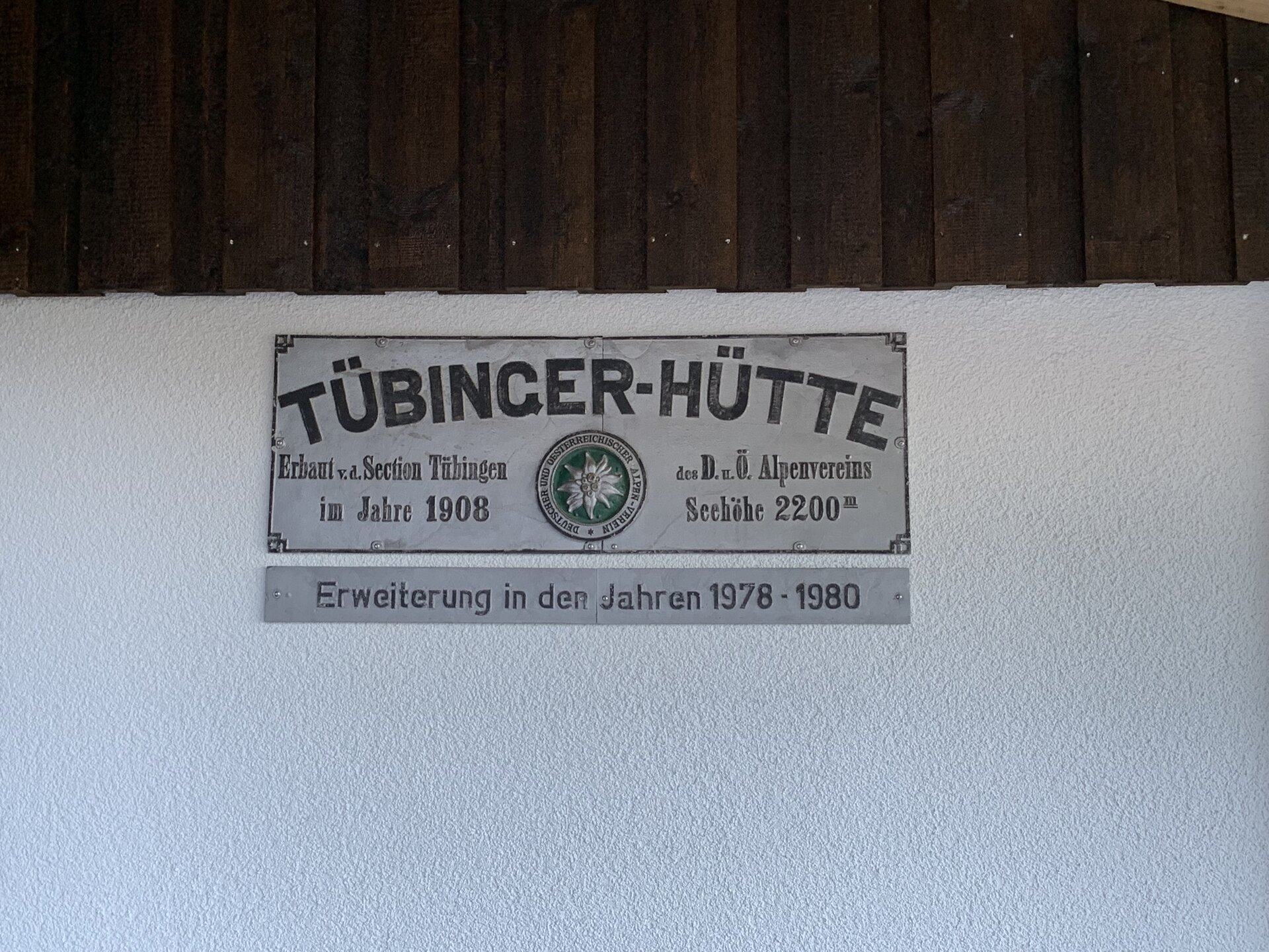
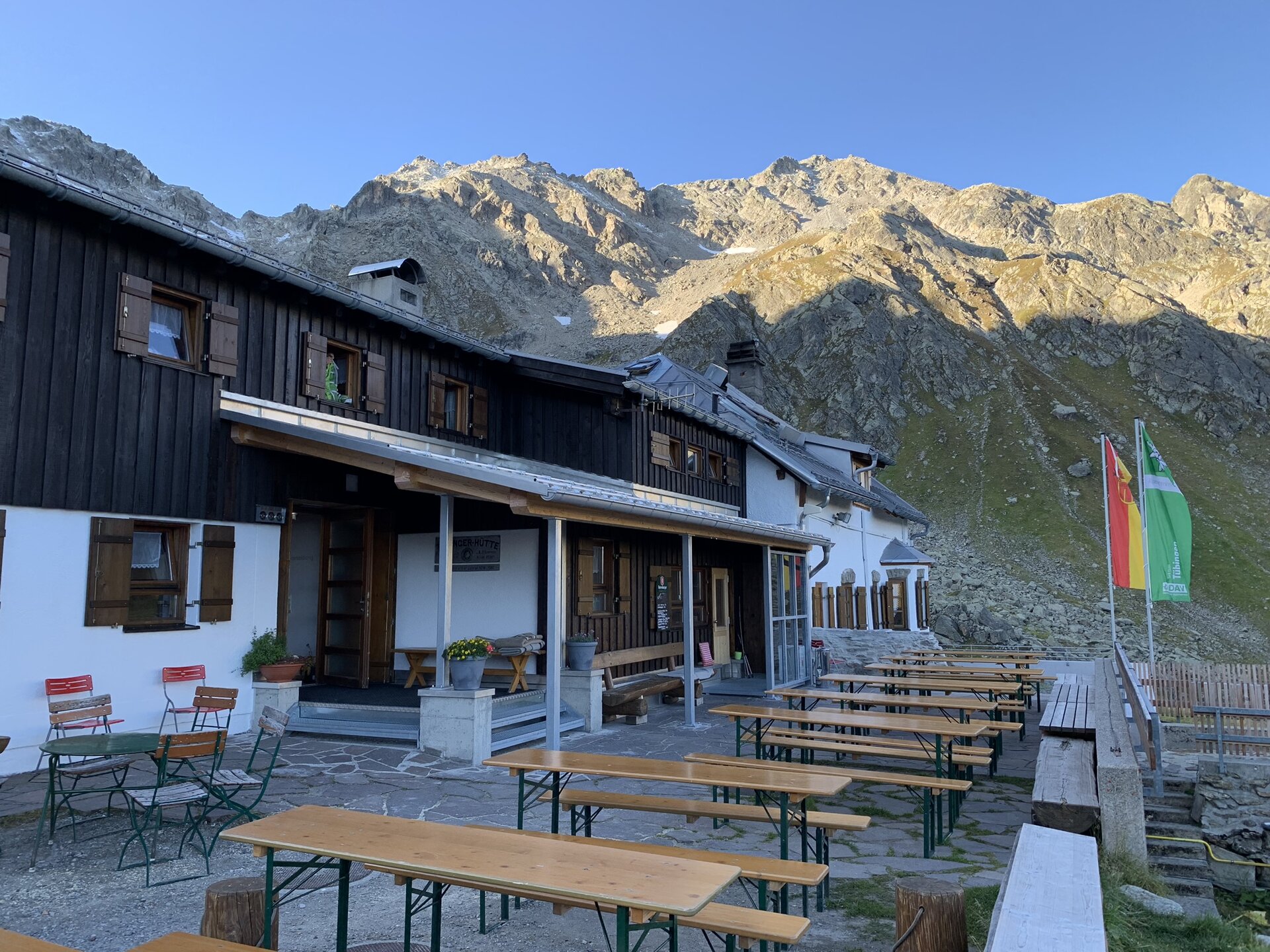
The ascent to the Hochmadererjoch marks the highlight of the stage. The trail then continues through the alpine mountain landscape to the Tübinger Hütte.
What is the Montafon Alpine Mosaic?
The Montafon Alpine Mosaic brings the region’s scenic diversity to life. The four exploration areas—Verwall, Silvretta, Rätikon, and the valley—offer different perspectives on nature, the landscape, and culture.
You can find more information about the Montafon Alpine Mosaic HERE.
Starting Point - Directions - End Point
Starting Point
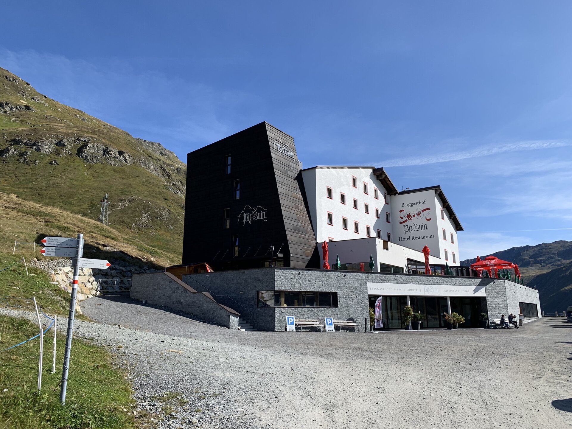
Silvretta-Bielerhöhe
Directions
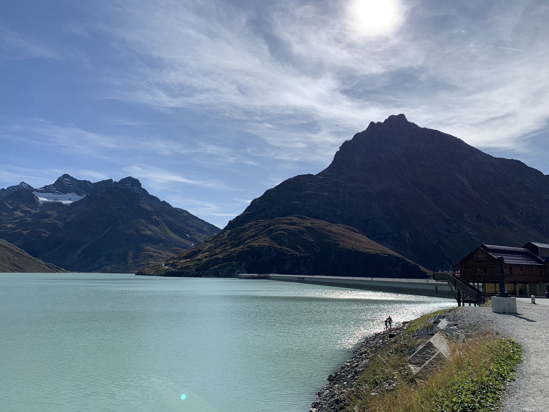
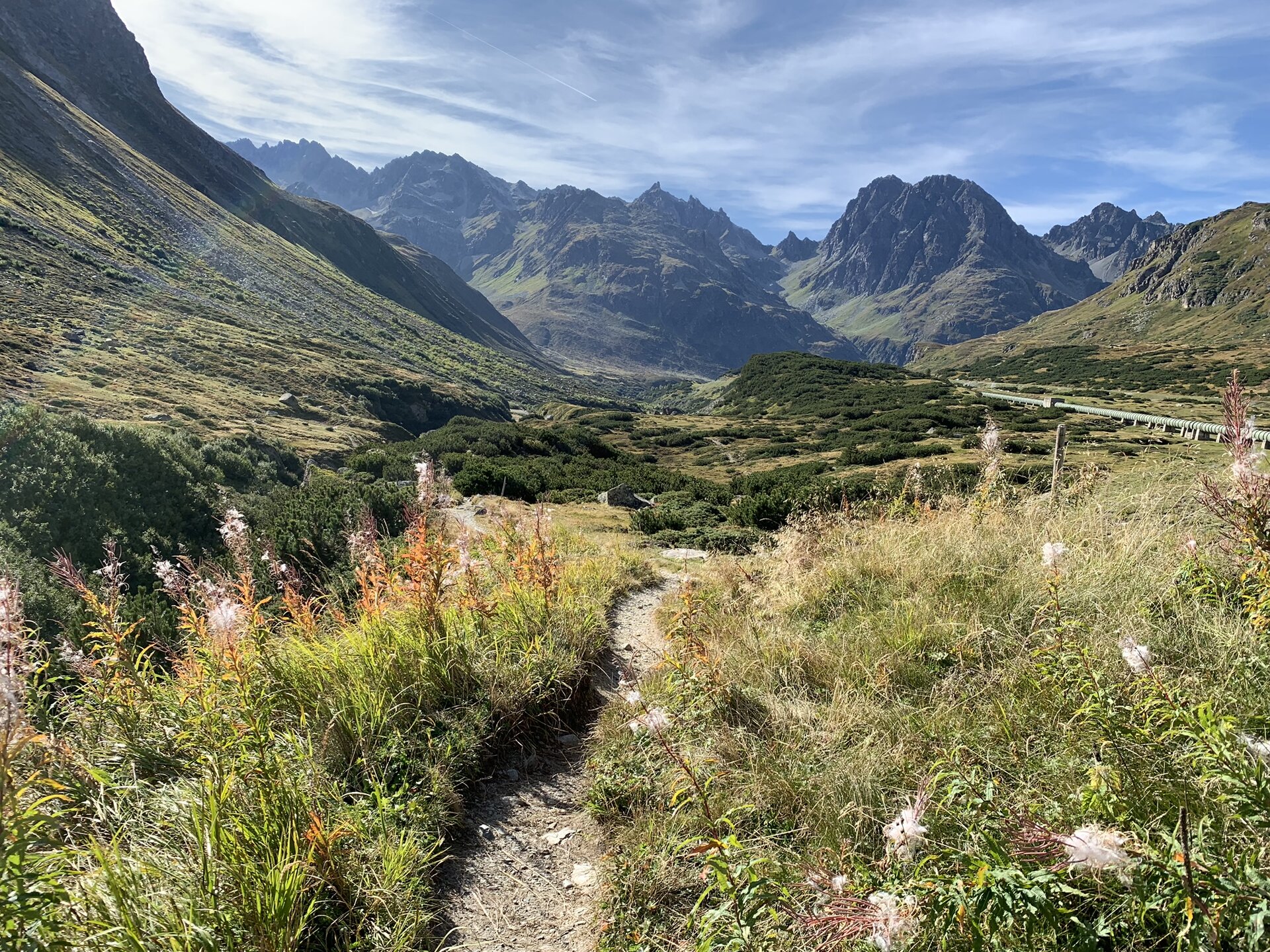
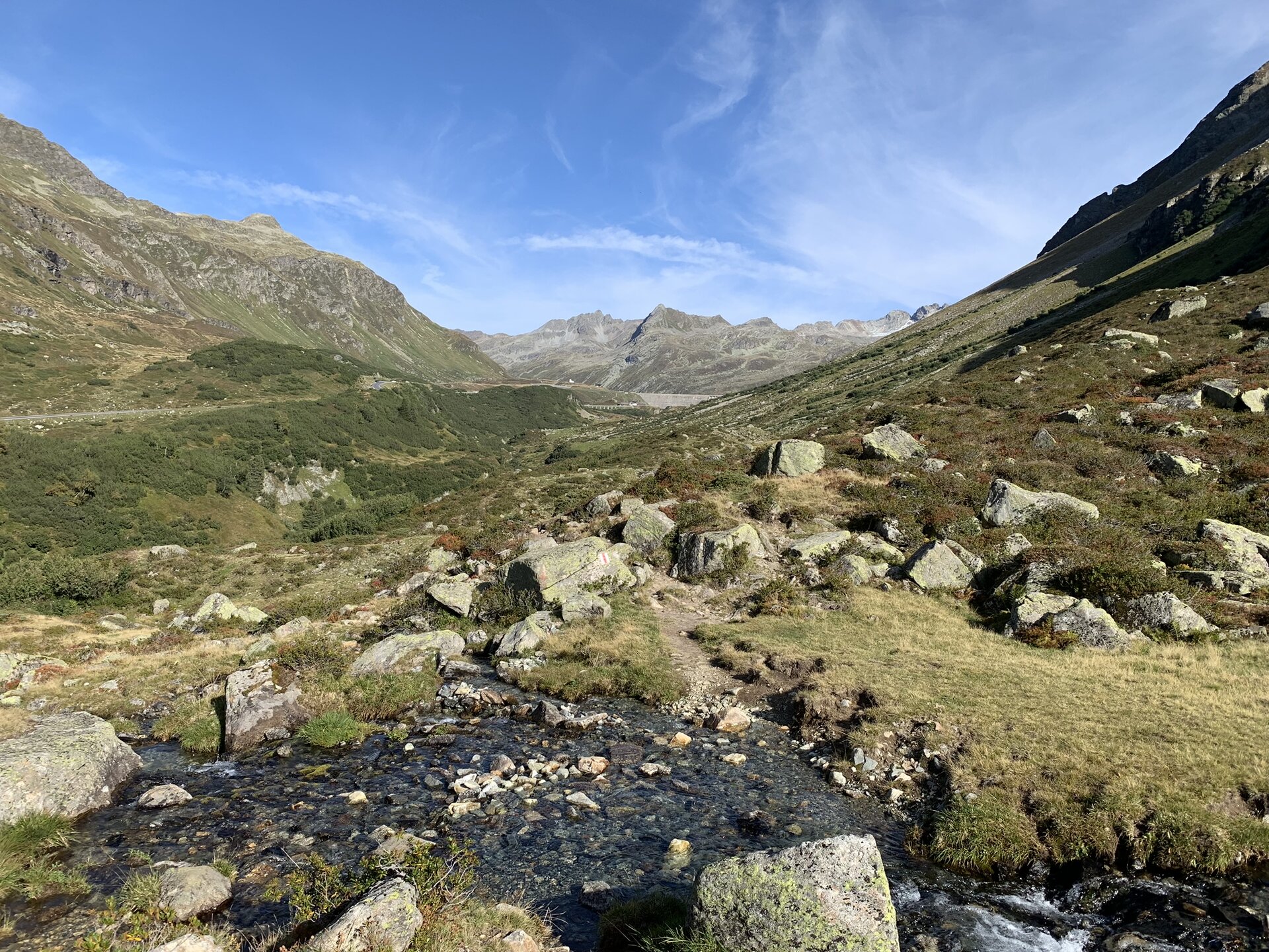
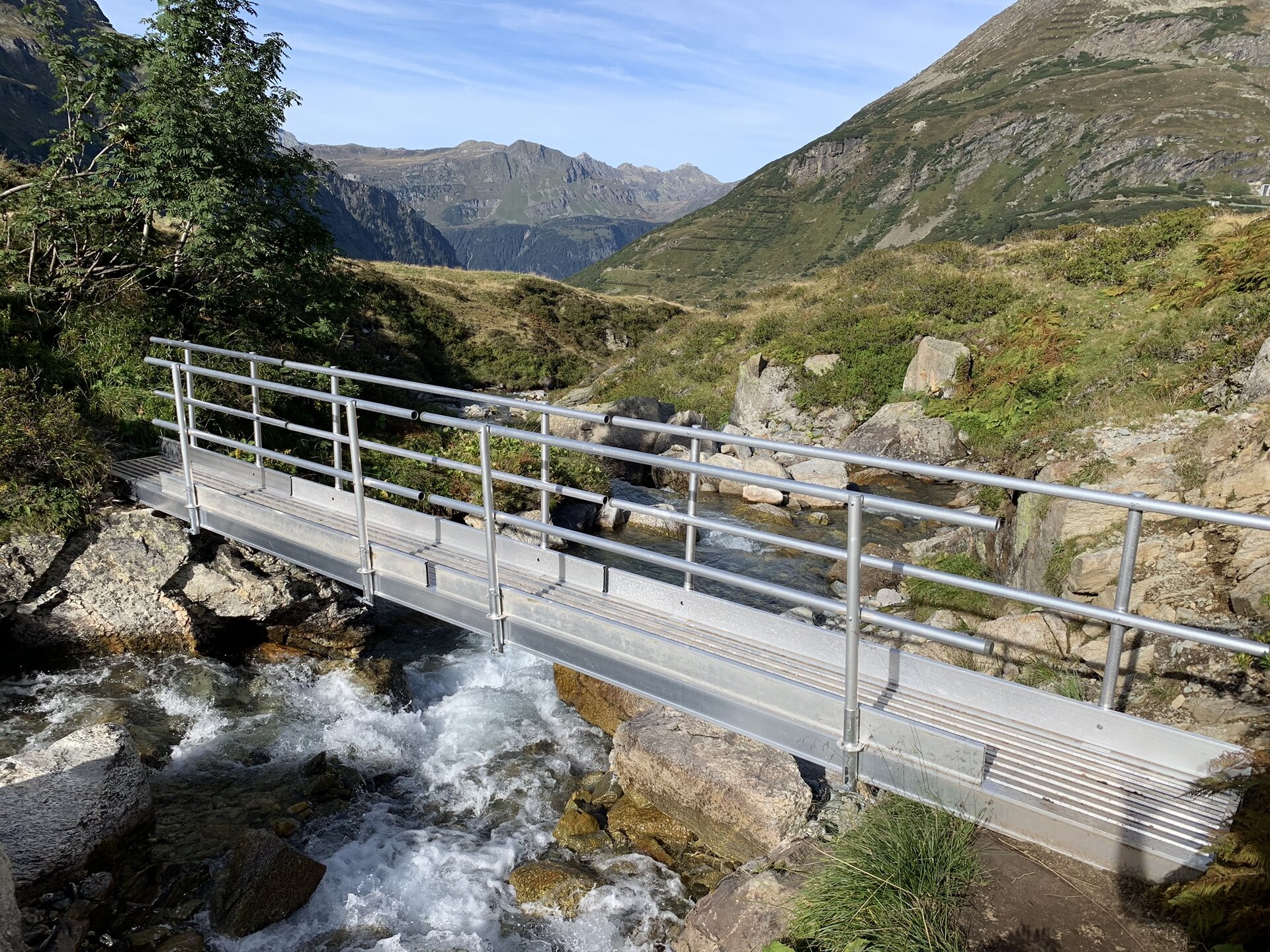
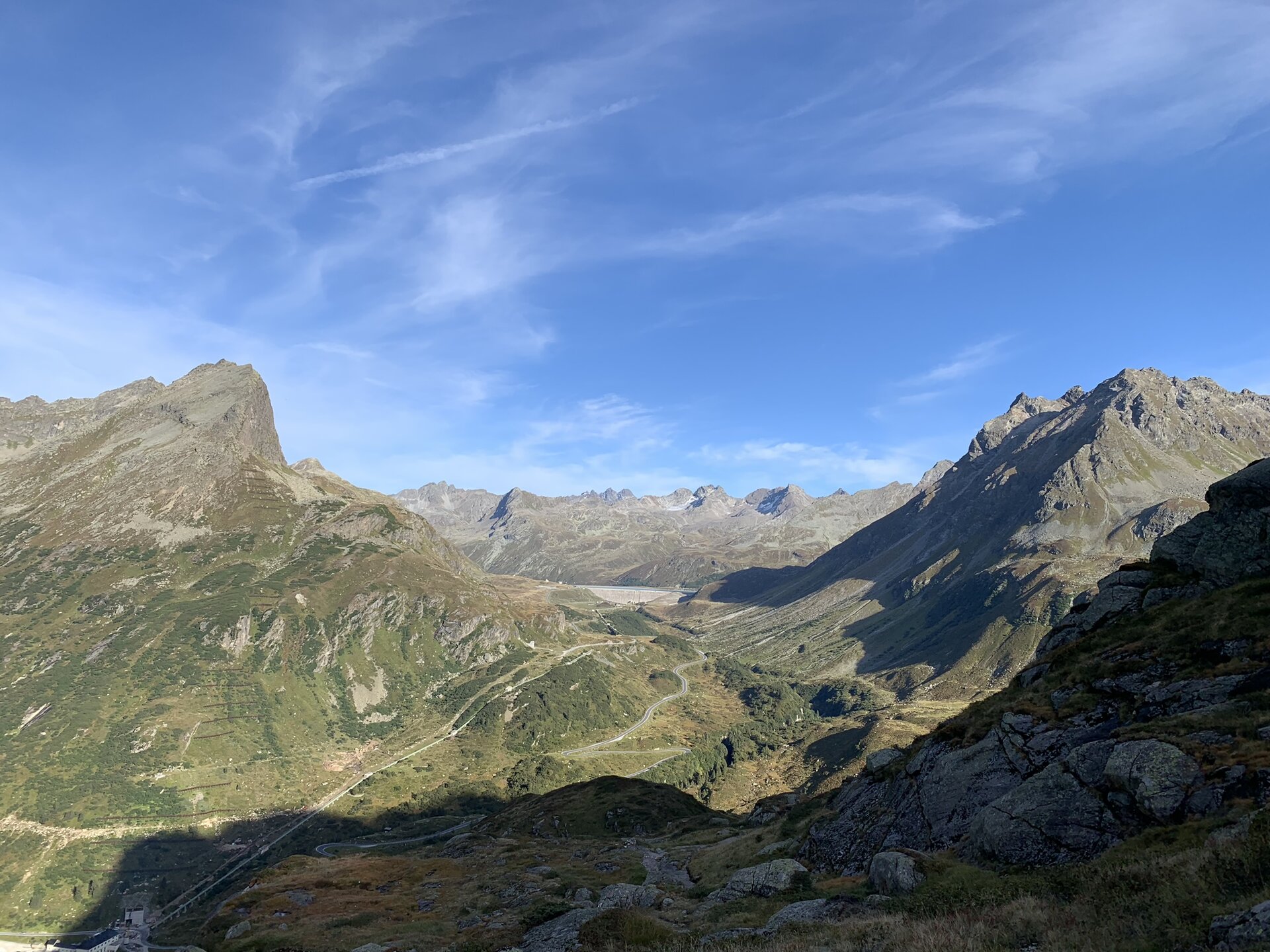
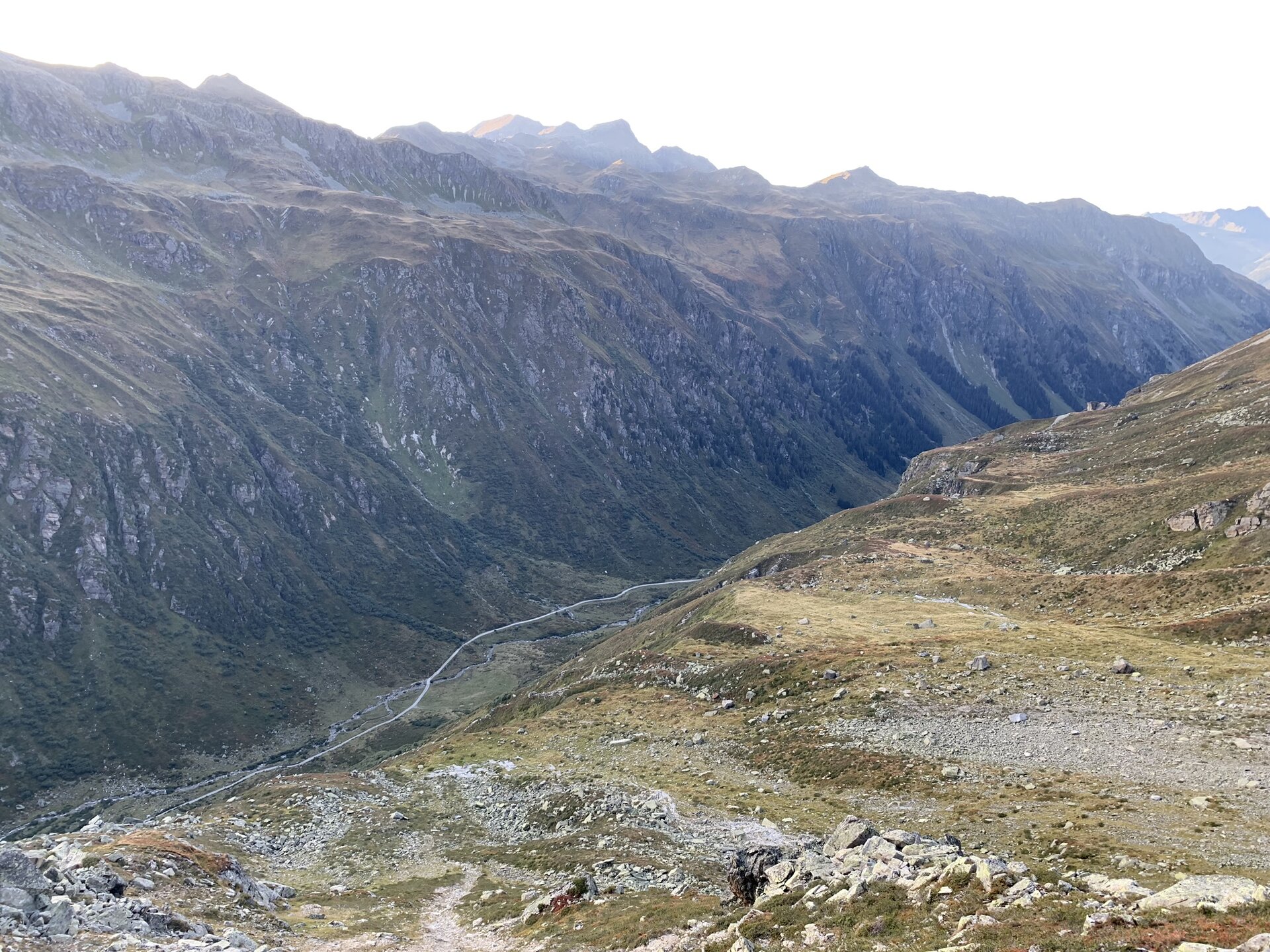
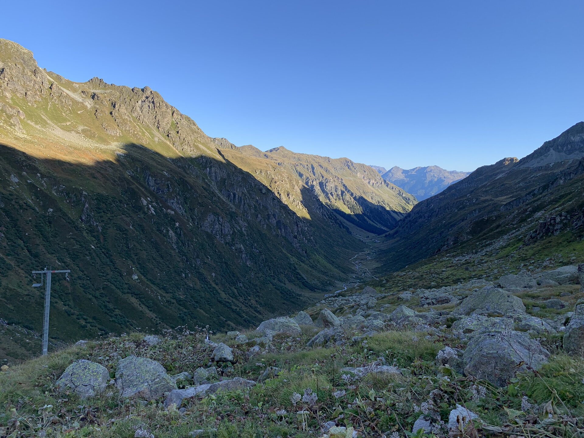
From the parking lot at Silvretta-Bielerhöhe, the mountain hike takes you westward through the Großvermunttal valley. Hiking slightly above the Vermunt Reservoir, you’ll walk along its edge before the trail begins to climb toward the Hochmadererjoch pass. From the pass, the trail then leads you slightly downhill to the Tübinger Hütte.
End point
Tübinger Hut
Getting to the starting point
Getting to the Starting Point
The starting point for the tour is Silvretta-Bielerhöhe.
Important note regarding travel:
The Silvretta High Alpine Road is expected to be closed until summer 2030. In the summer, you cannot reach the Bielerhöhe directly from the Montafon via the High Alpine Road; instead, you must take the Vermuntbahn from Partenen and then transfer to the tunnel bus. You can find more information HERE.
By public transportation:
The Montafon regional bus and the Montafonerbahn offer a convenient and flexible way to get around the valley. Trains and buses run regularly between the towns, every half hour or every hour depending on the route. You can find the right connection HERE. The bus stop at the start of this tour is the Partenen Bergbahnen valley station. From there, you can reach the Vermuntbahn valley station in just a few minutes on foot. Take the Vermuntbahn and then the connecting tunnel bus to reach the Silvretta-Bielerhöhe.
By car:
Take the A14 to the Bludenz/Montafon exit, then follow the Montafonerstraße L188 to Partenen. Parking is available at the Vermuntbahn valley station. From there, take the Vermuntbahn and the connecting tunnel bus to Silvretta-Bielerhöhe.
Important Information
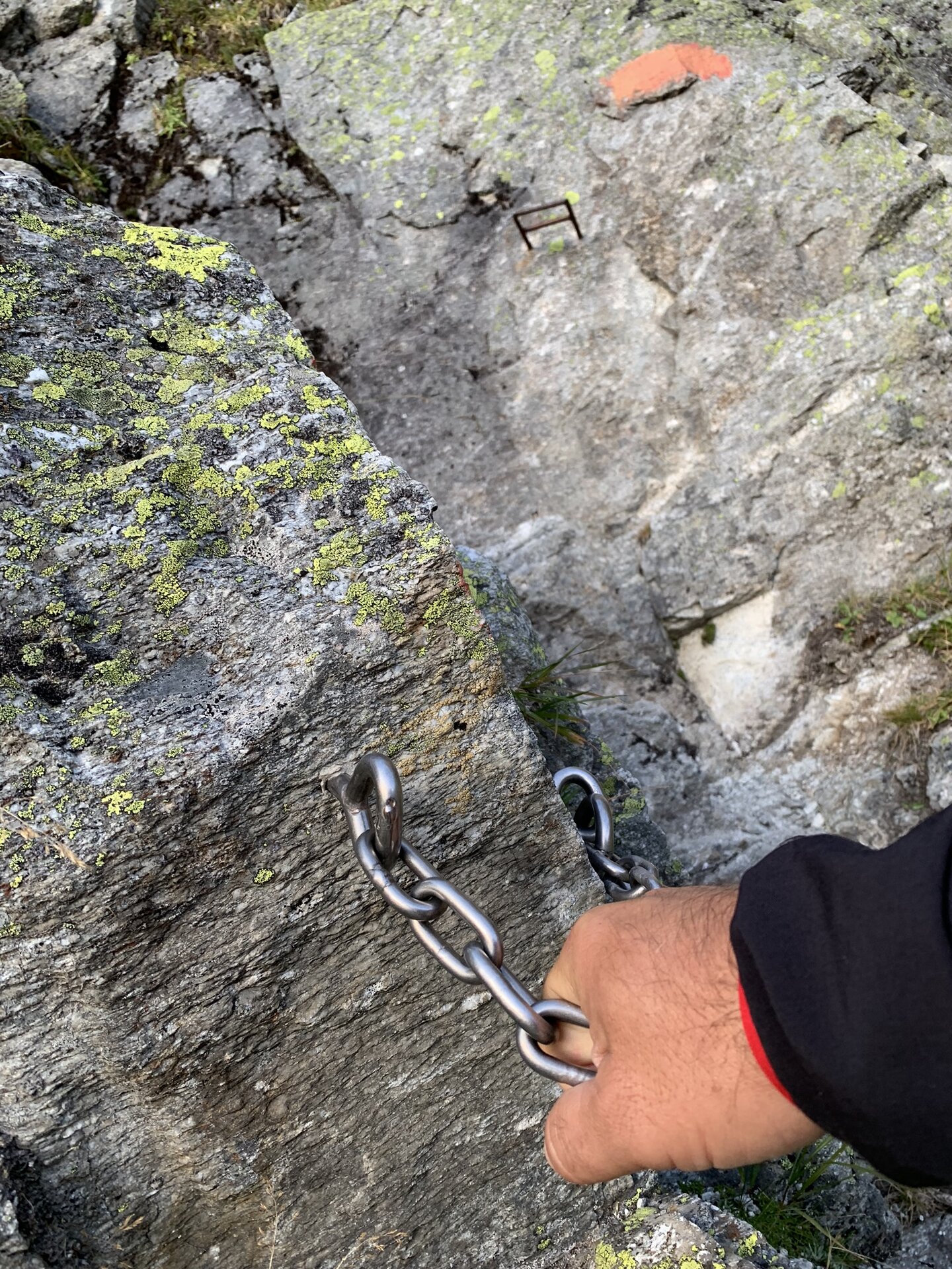
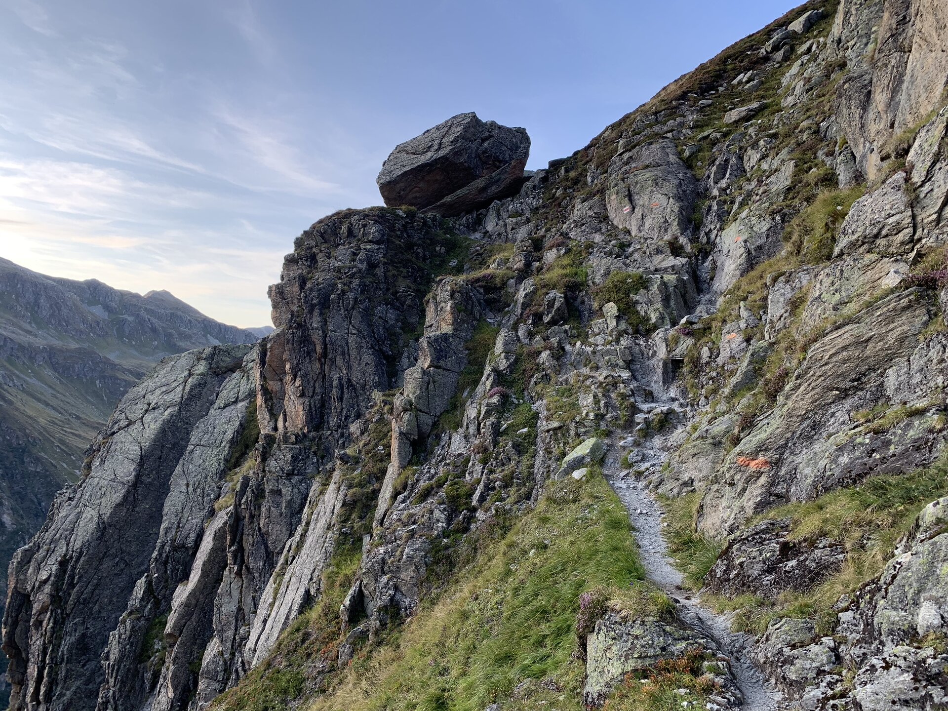
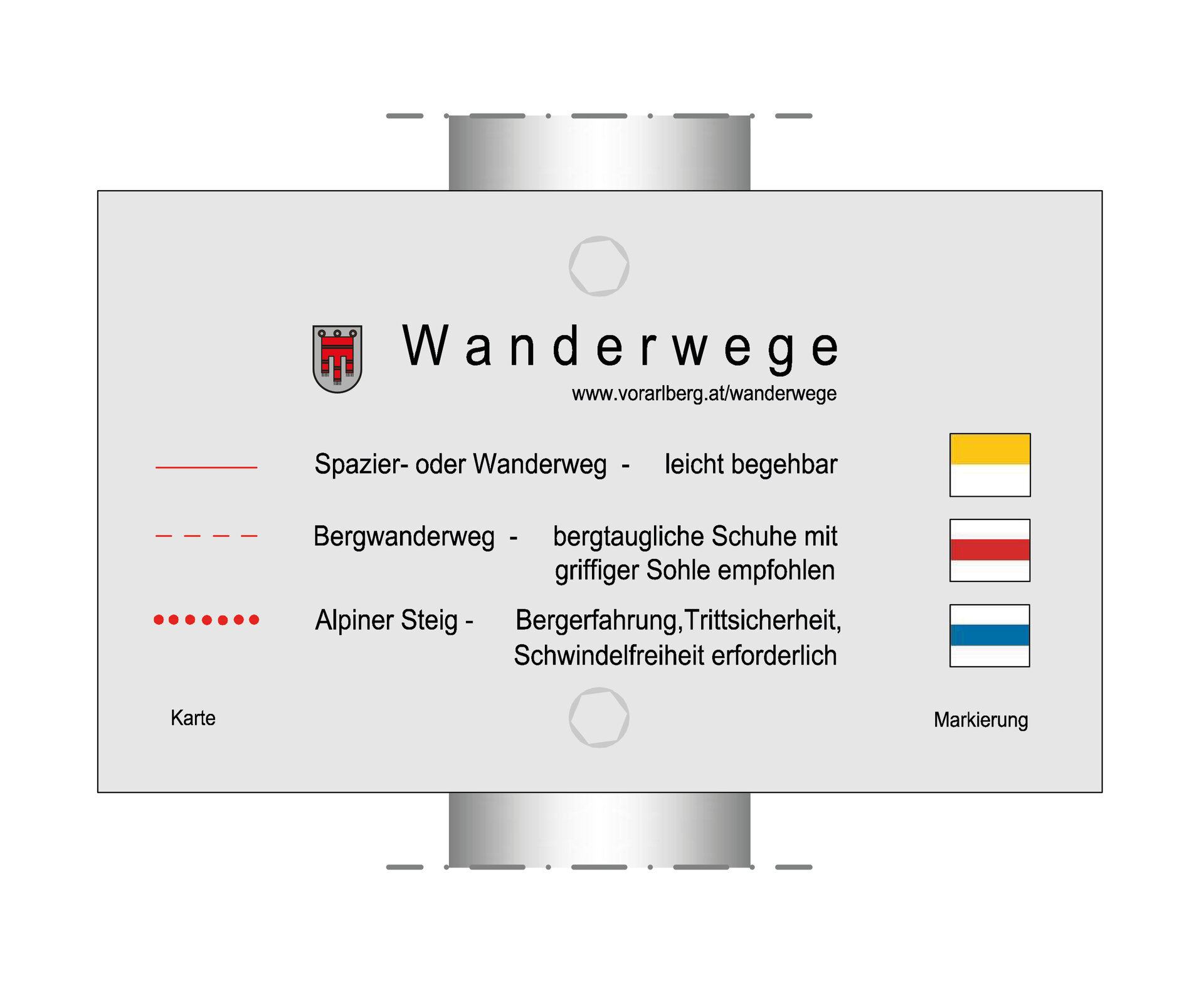
Alpine Trail: The trail may include safety ropes and footholds.
For this hike, we recommend sturdy, ankle-high hiking boots with good traction, plenty of food and drinking water, and weather-appropriate clothing. Hiking poles can help you on the ascents and descents.
Tips
Due to high demand at the huts, we recommend that you reserve your sleeping spot at the Tübinger Hütte well in advance by contacting the hut directly.
Sicherheitstipps für Wandern in Vorarlberg
EN NOTRUF:
EN 140 - Alpine Notfälle österreichweit
EN 144 - Alpine Notfälle Vorarlberg
EN 112 - Euro-Notruf (funktioniert mit jedem Handy/Netz)