Montafon Silvretta route | Silvrettahütte SAC (CH) to Silvretta-Bielerhöhe

Tour description
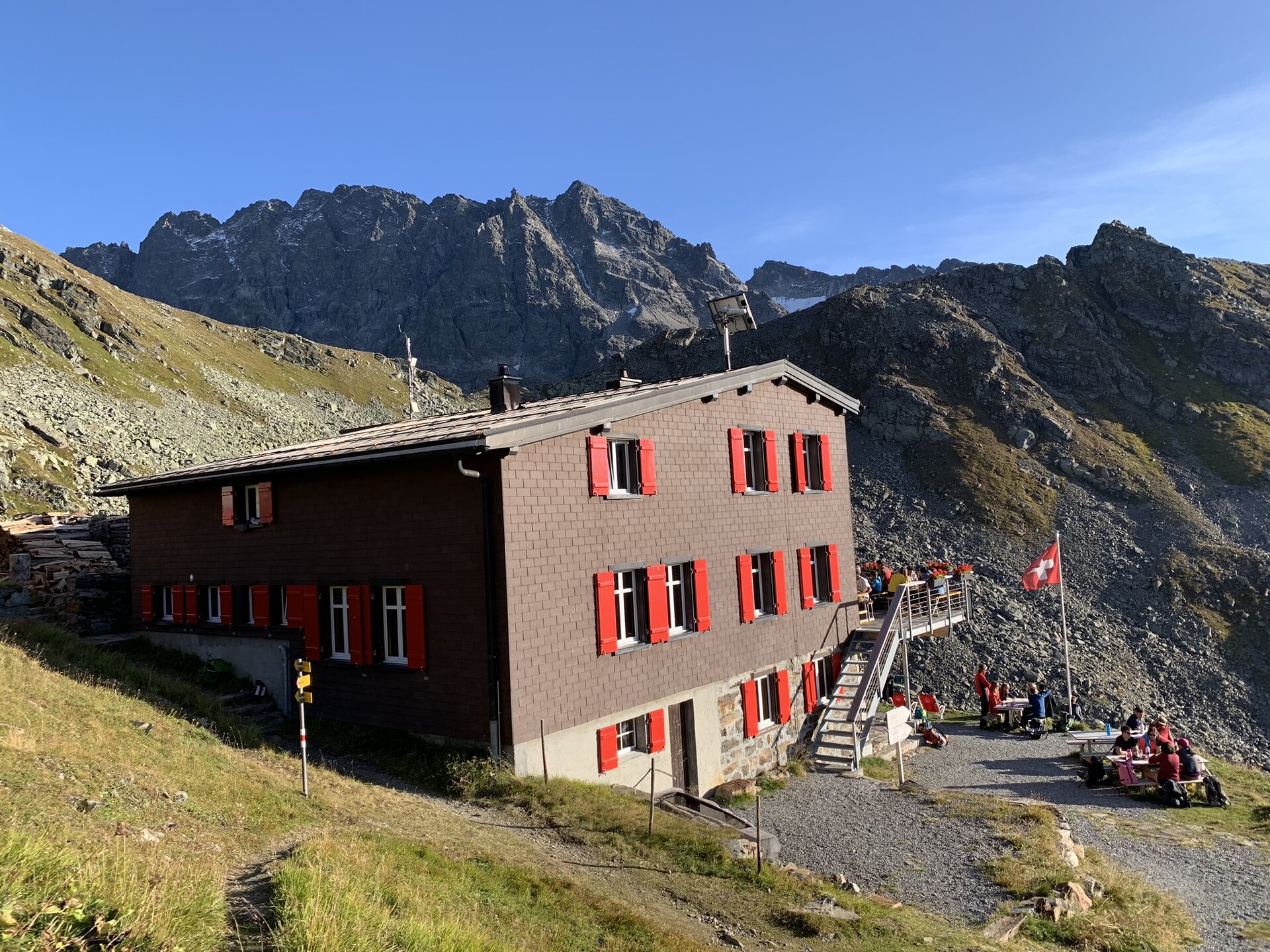
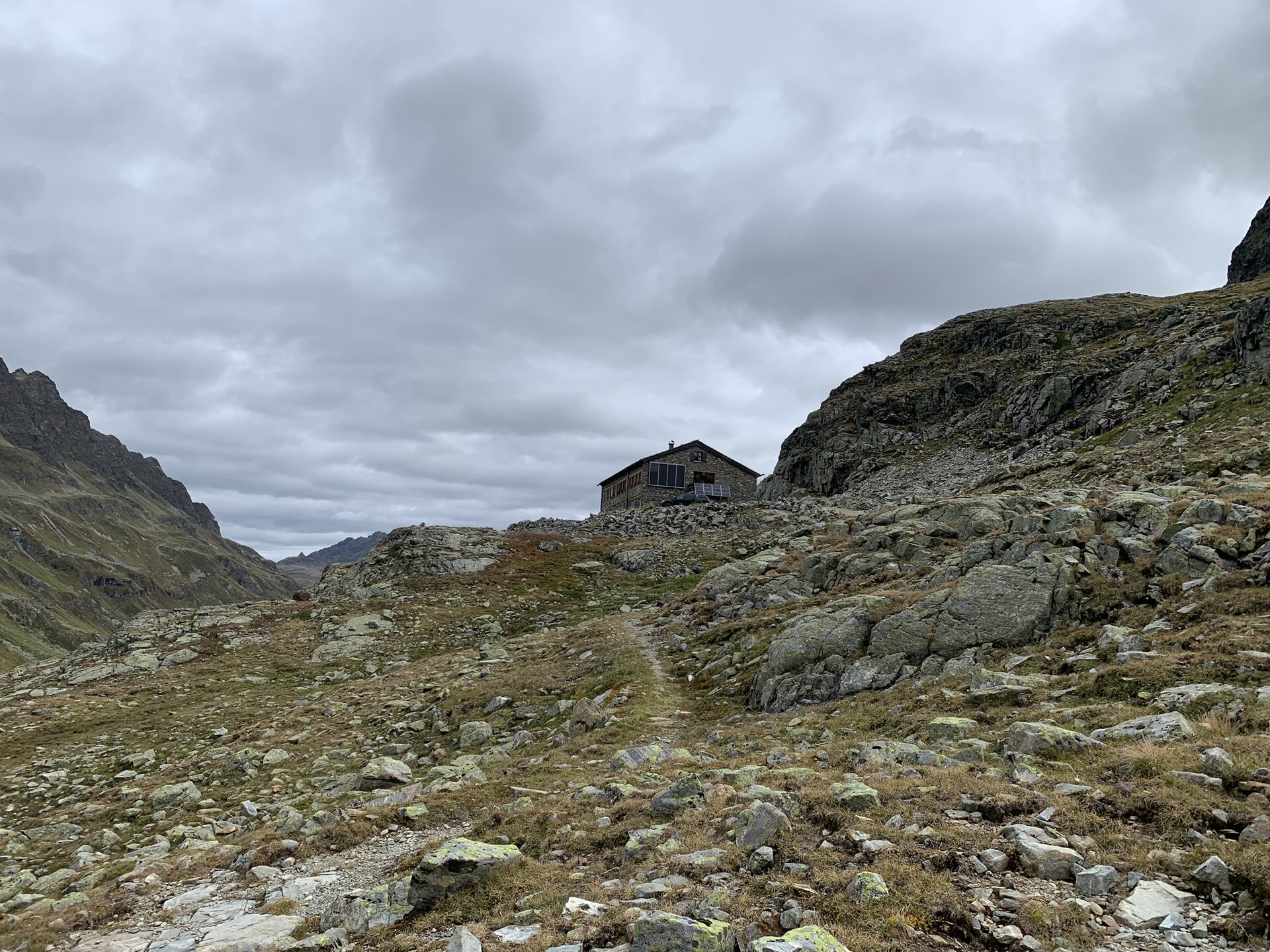
Silvrettahütte SAC (CH) - Rote Furka - Silvretta-Bielerhöhe
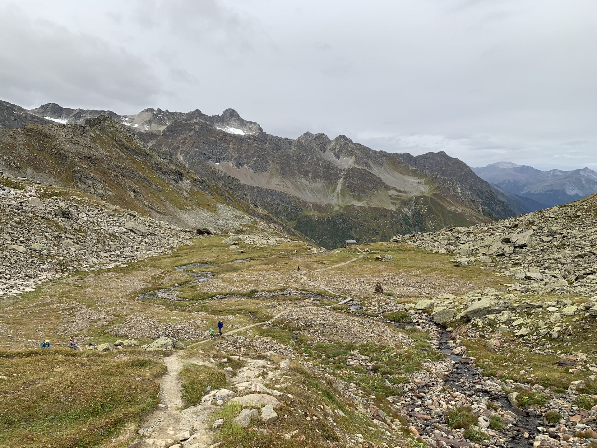
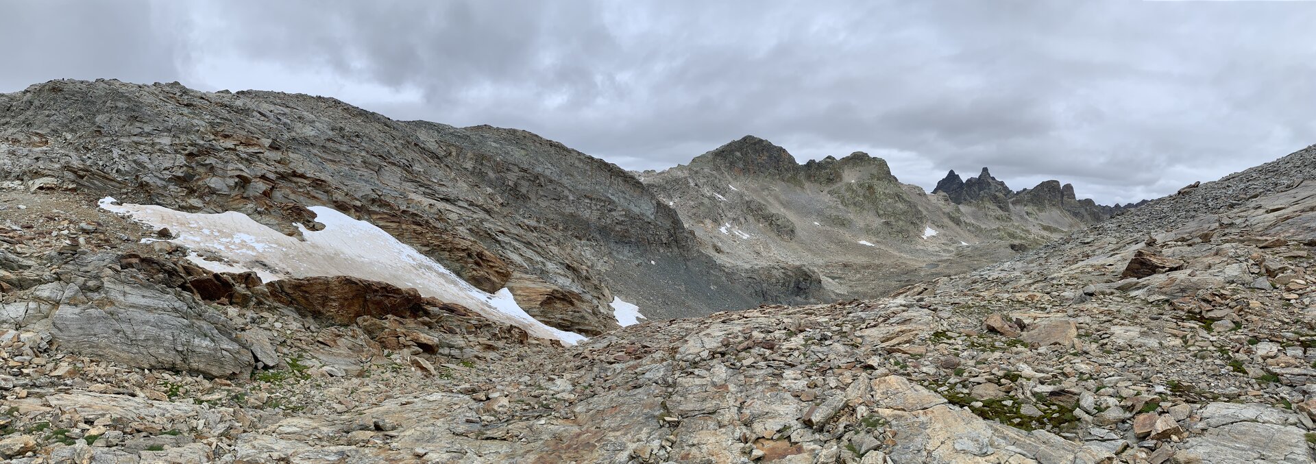
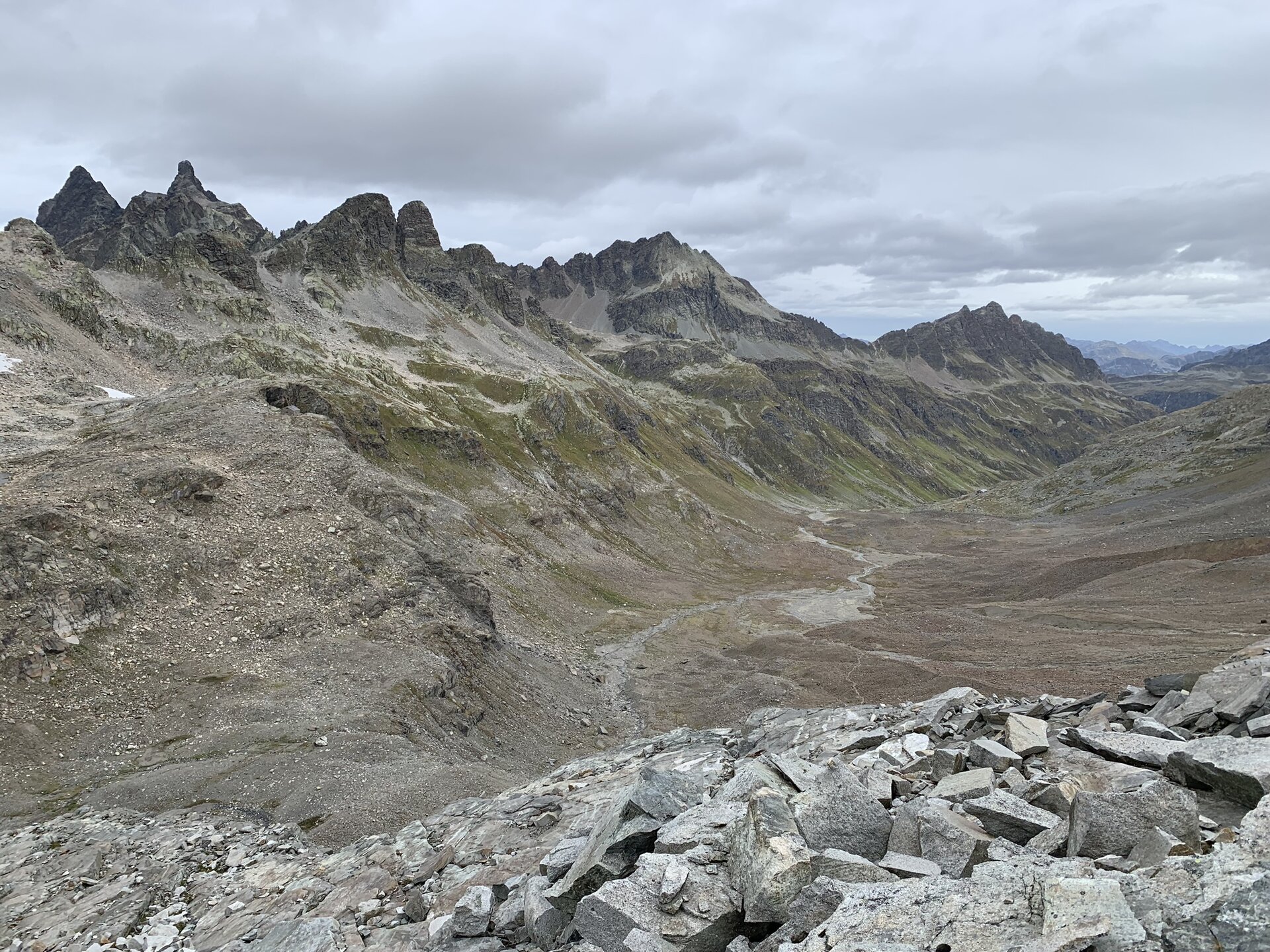
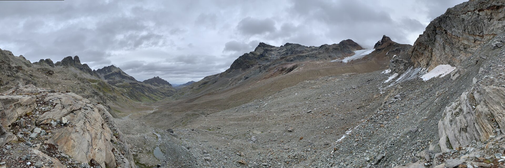
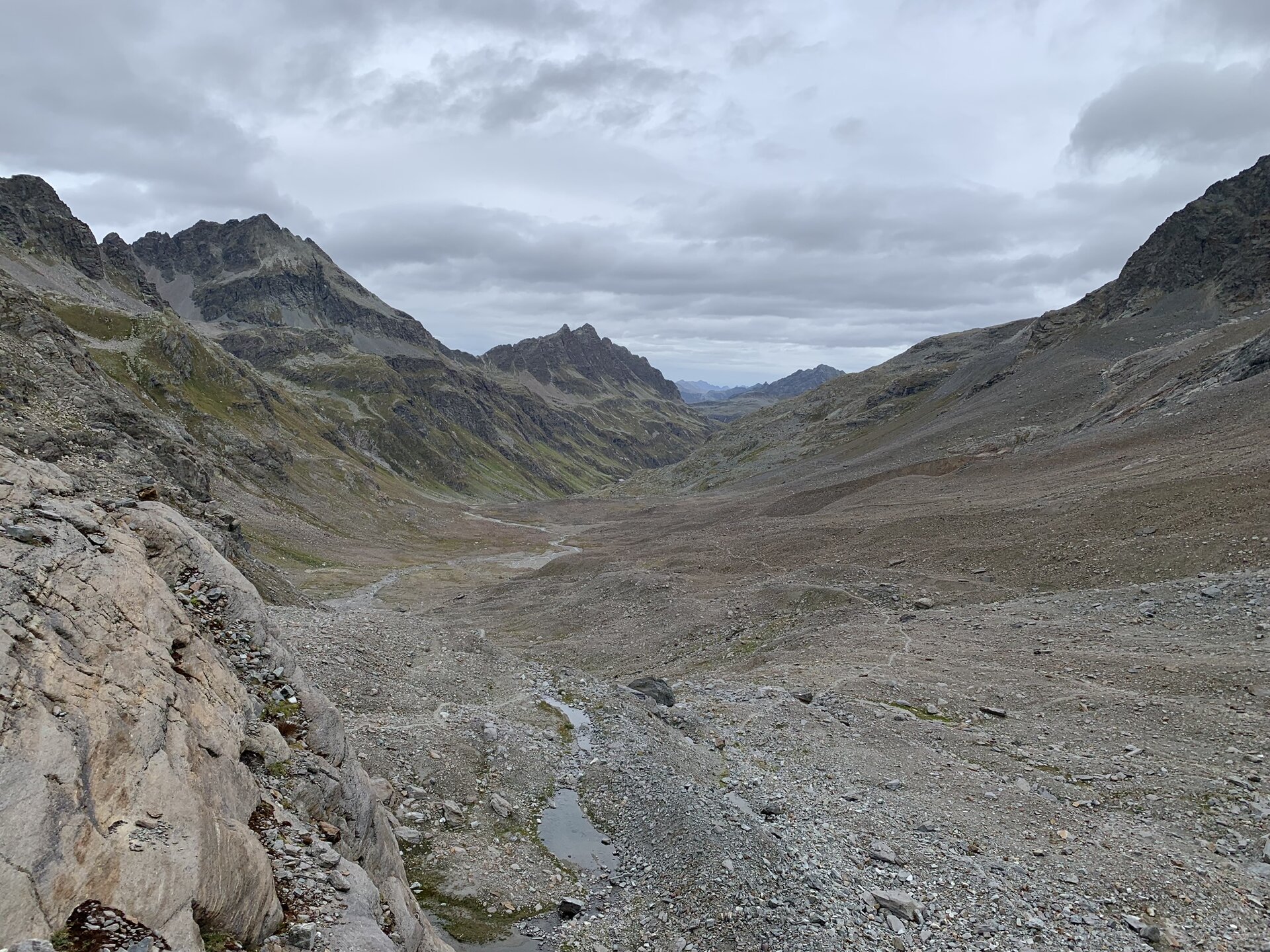
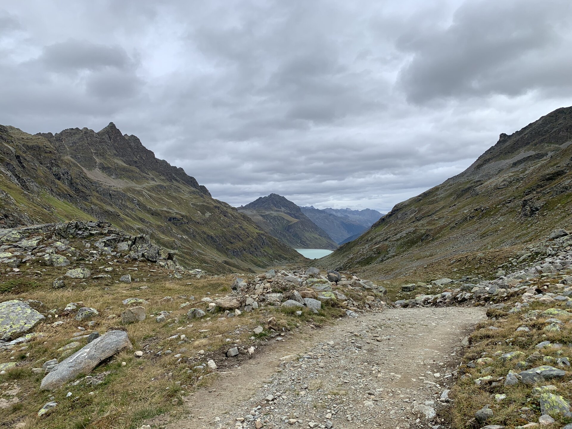
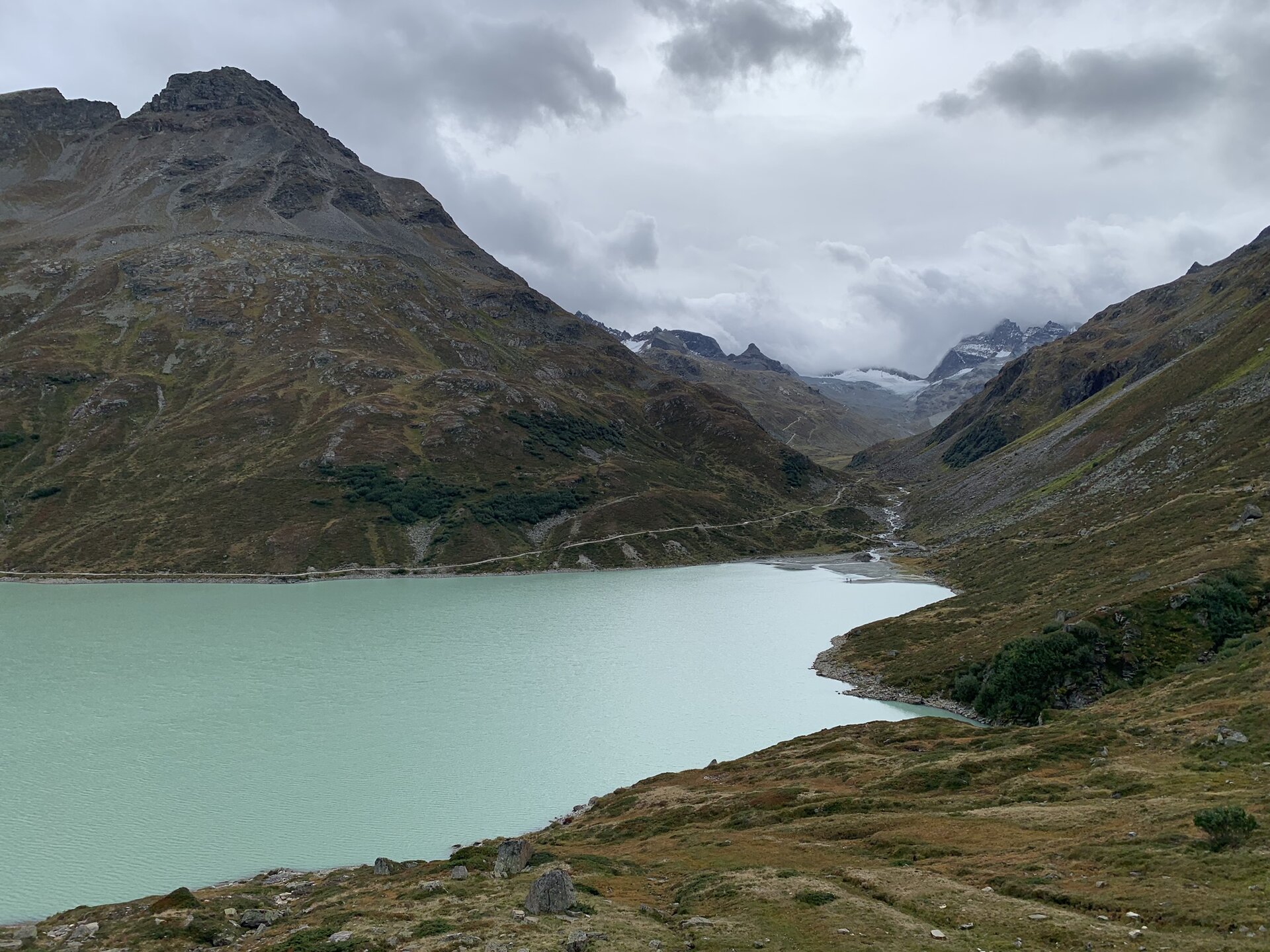
This stage of the Silvretta Montafon route leads through the high alpine area of the Silvretta. The glaciers from the last Ice Age are constant companions on the route and most of the surrounding peaks are over 3,000 m high, making them the highest in Vorarlberg. The highest mountain can be seen at the end of the stage from the Silvretta Lake. At 3,312 m, Piz Buin is the star of the Silvretta group.
Public transport
Directions
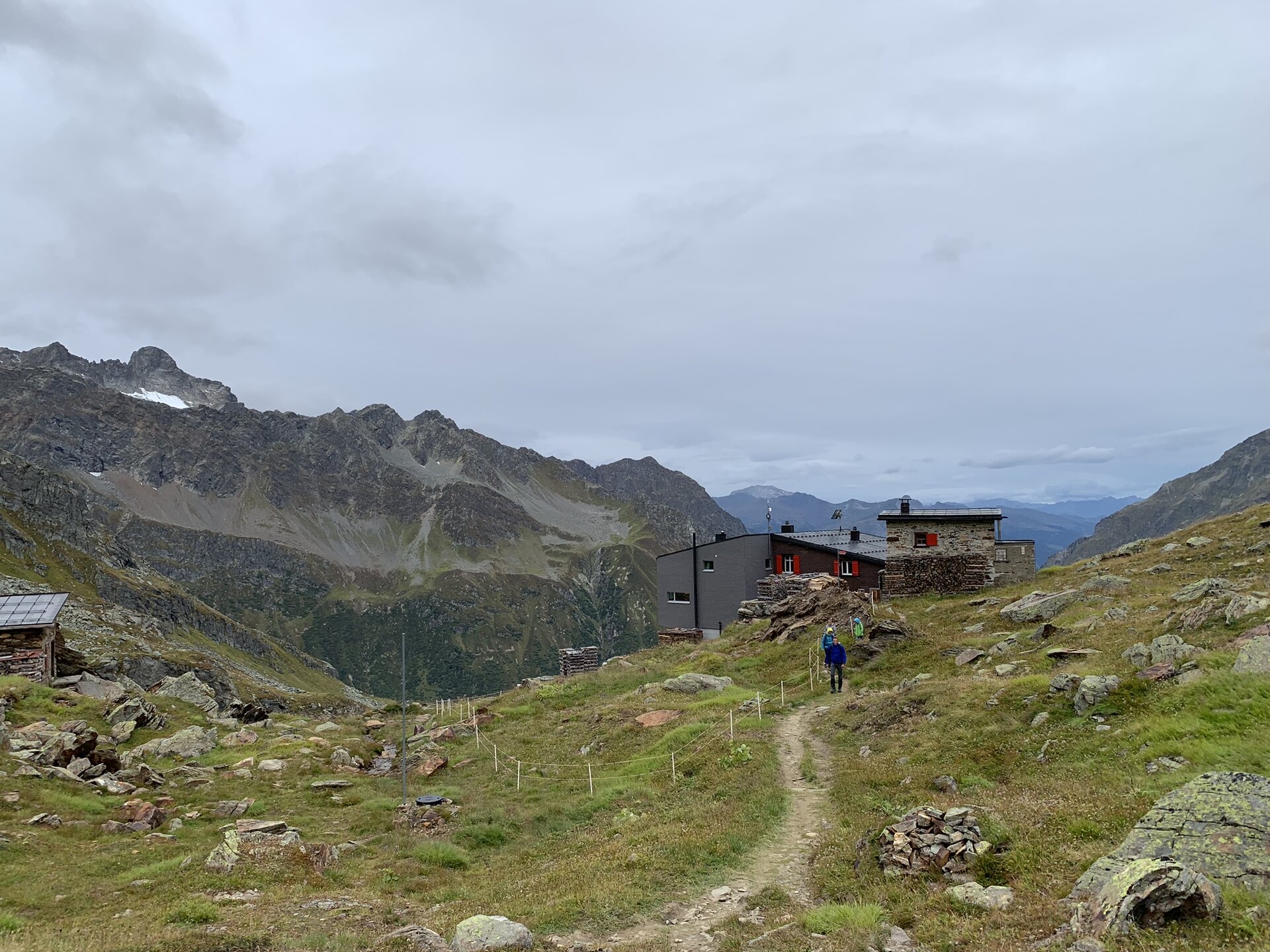
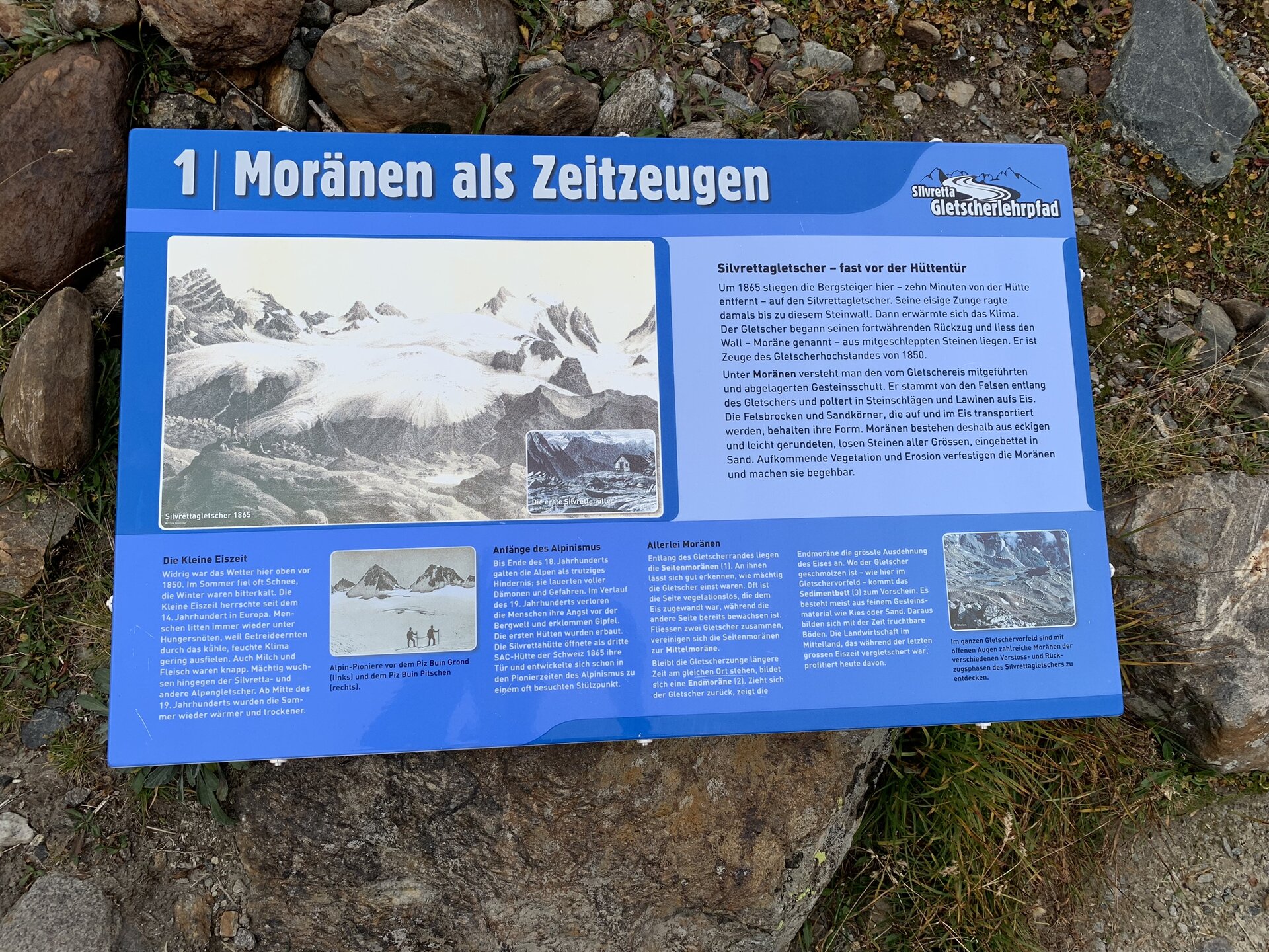
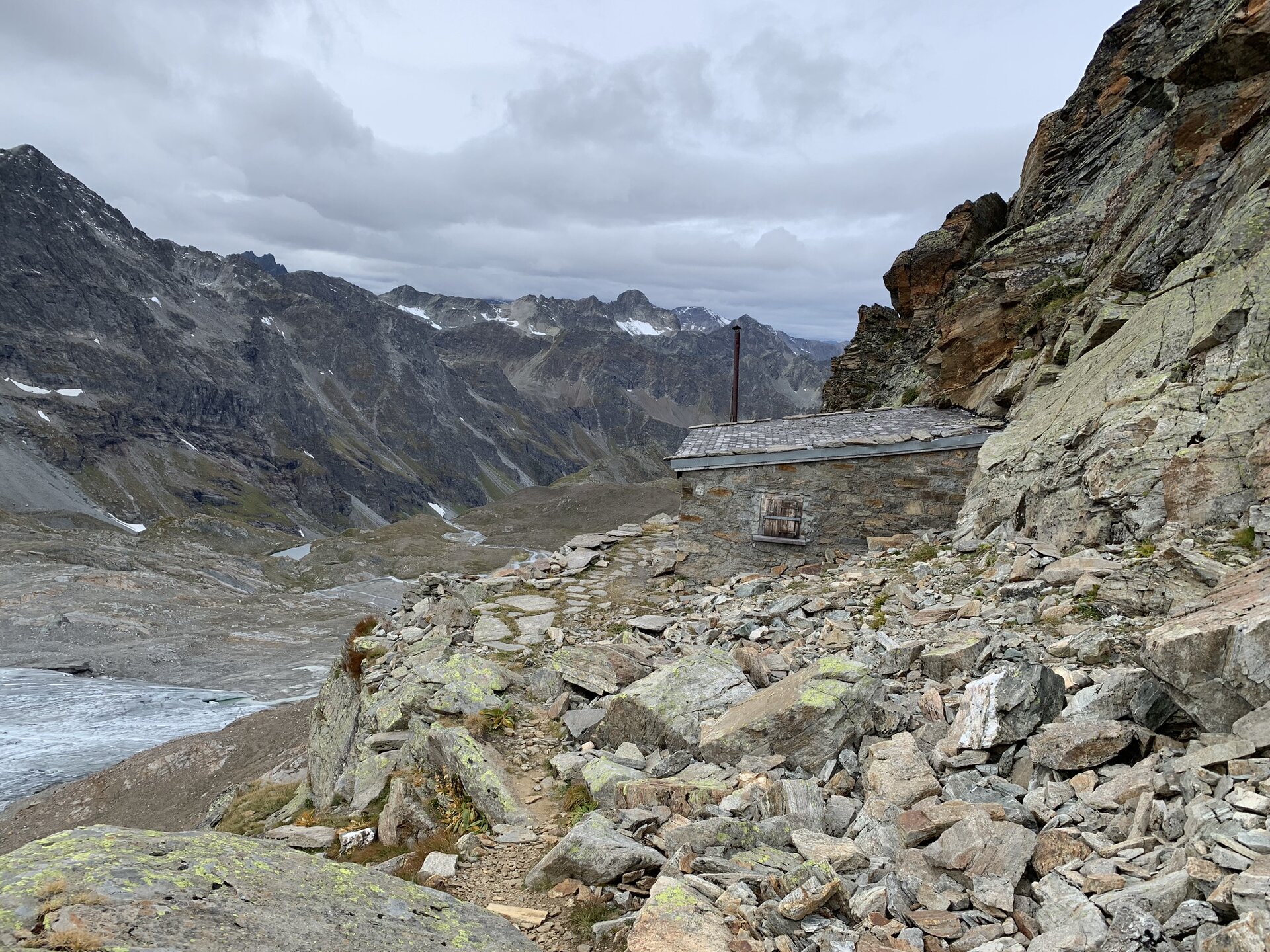
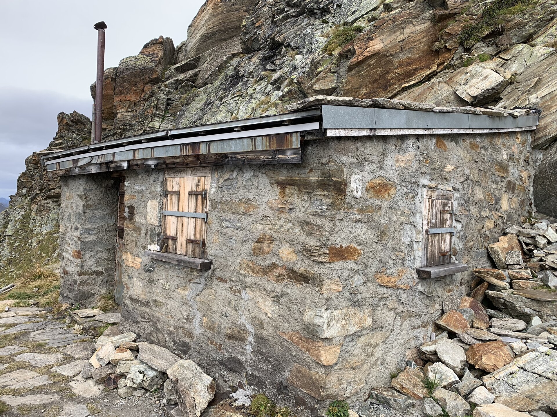
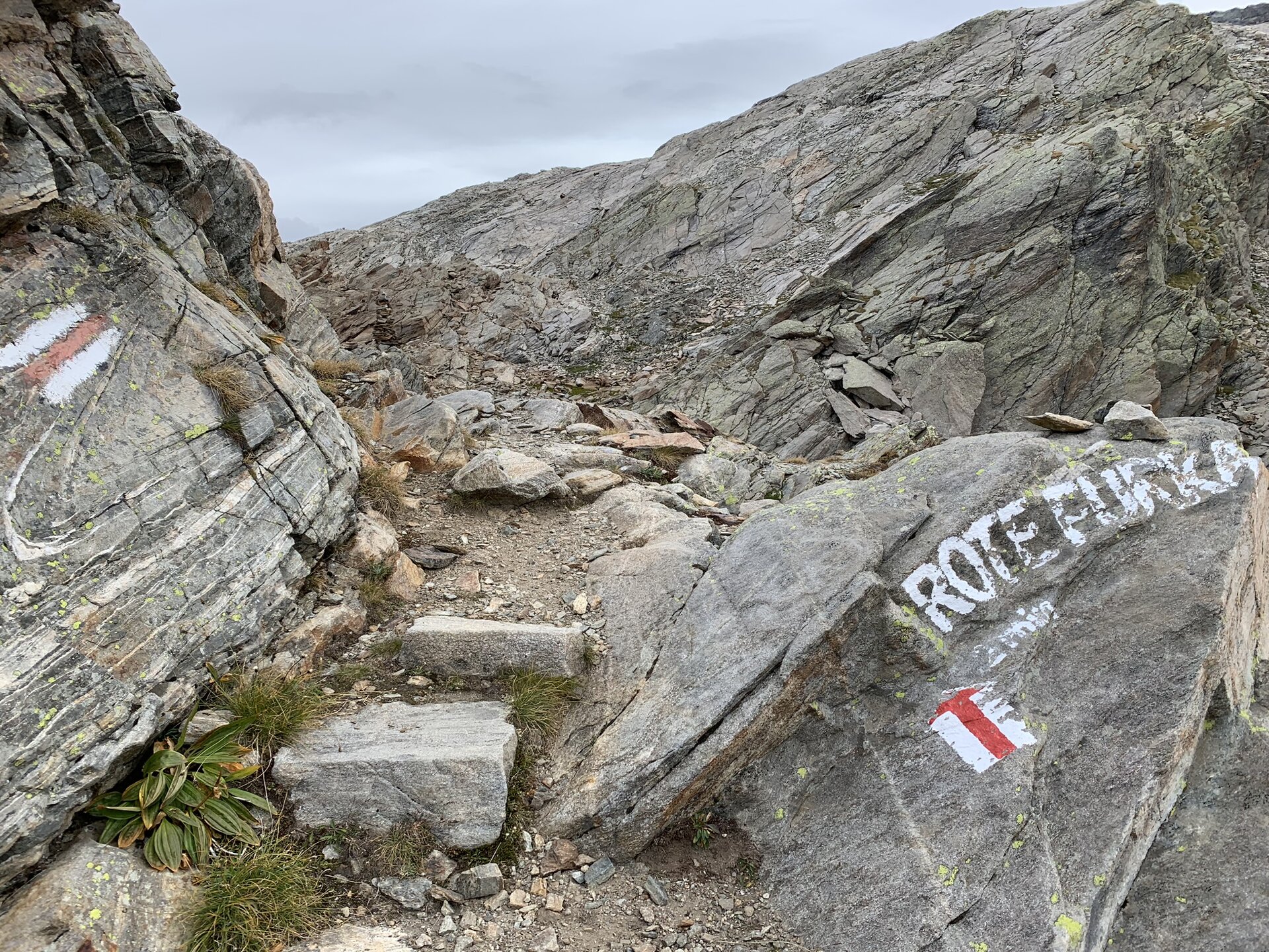
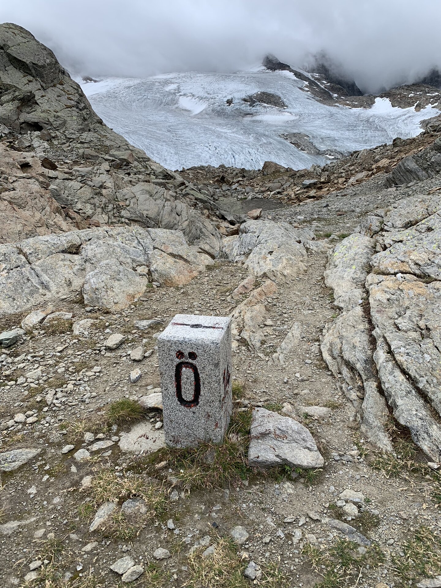
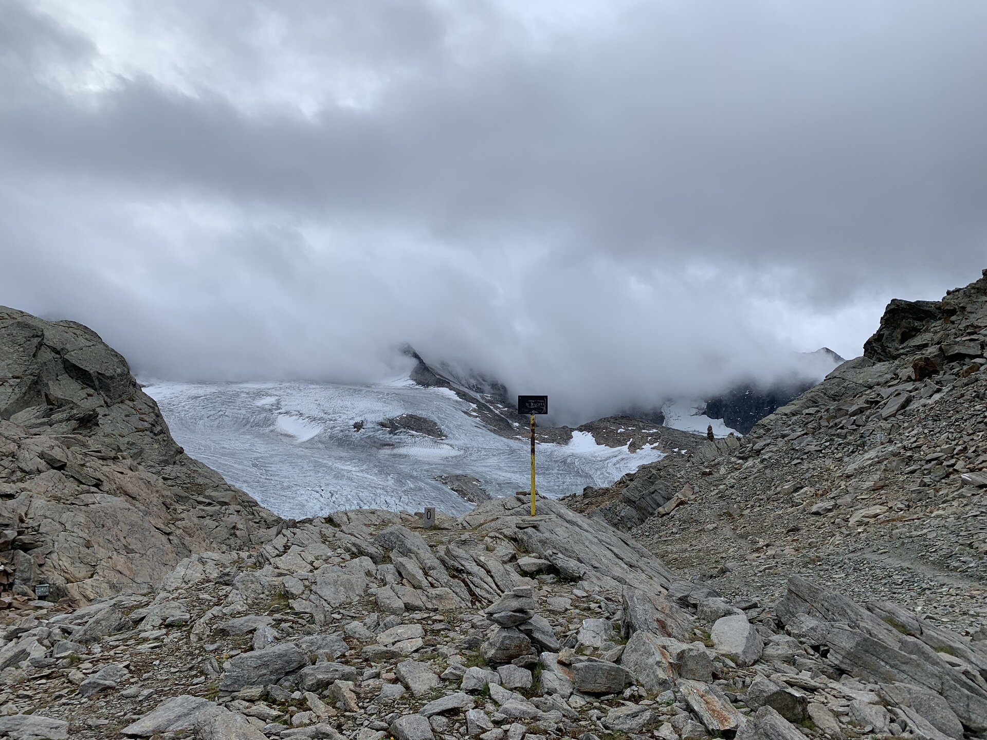
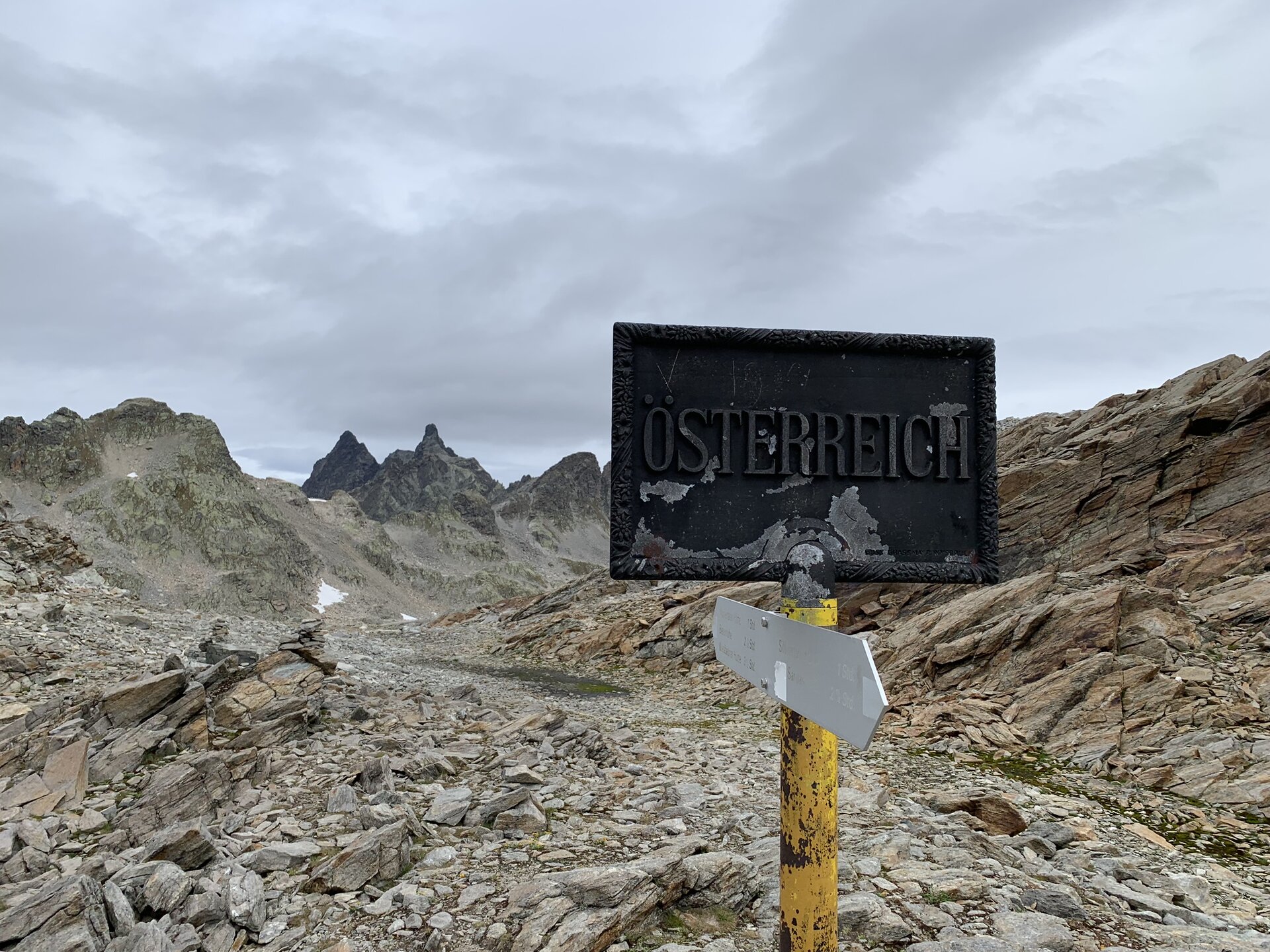
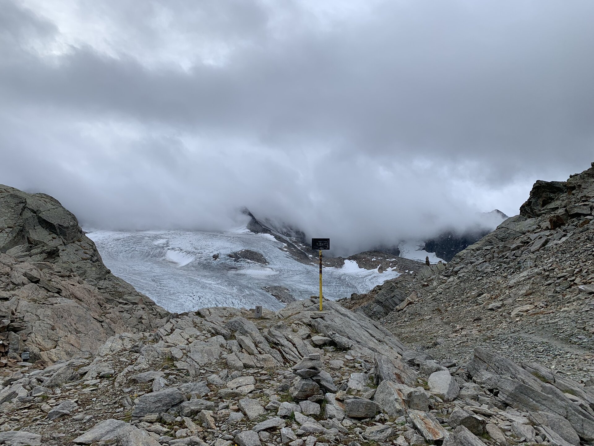
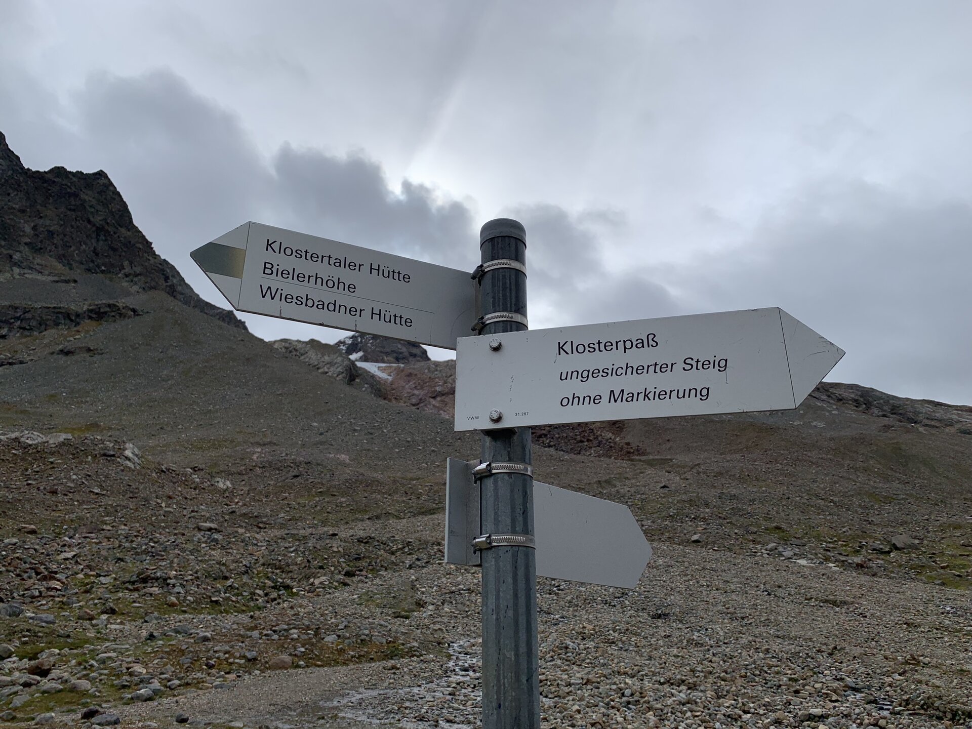
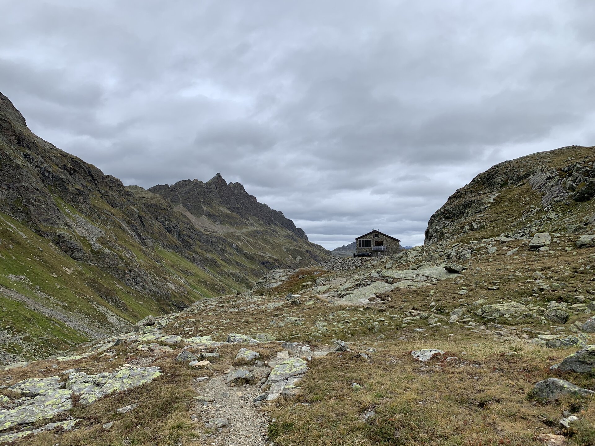
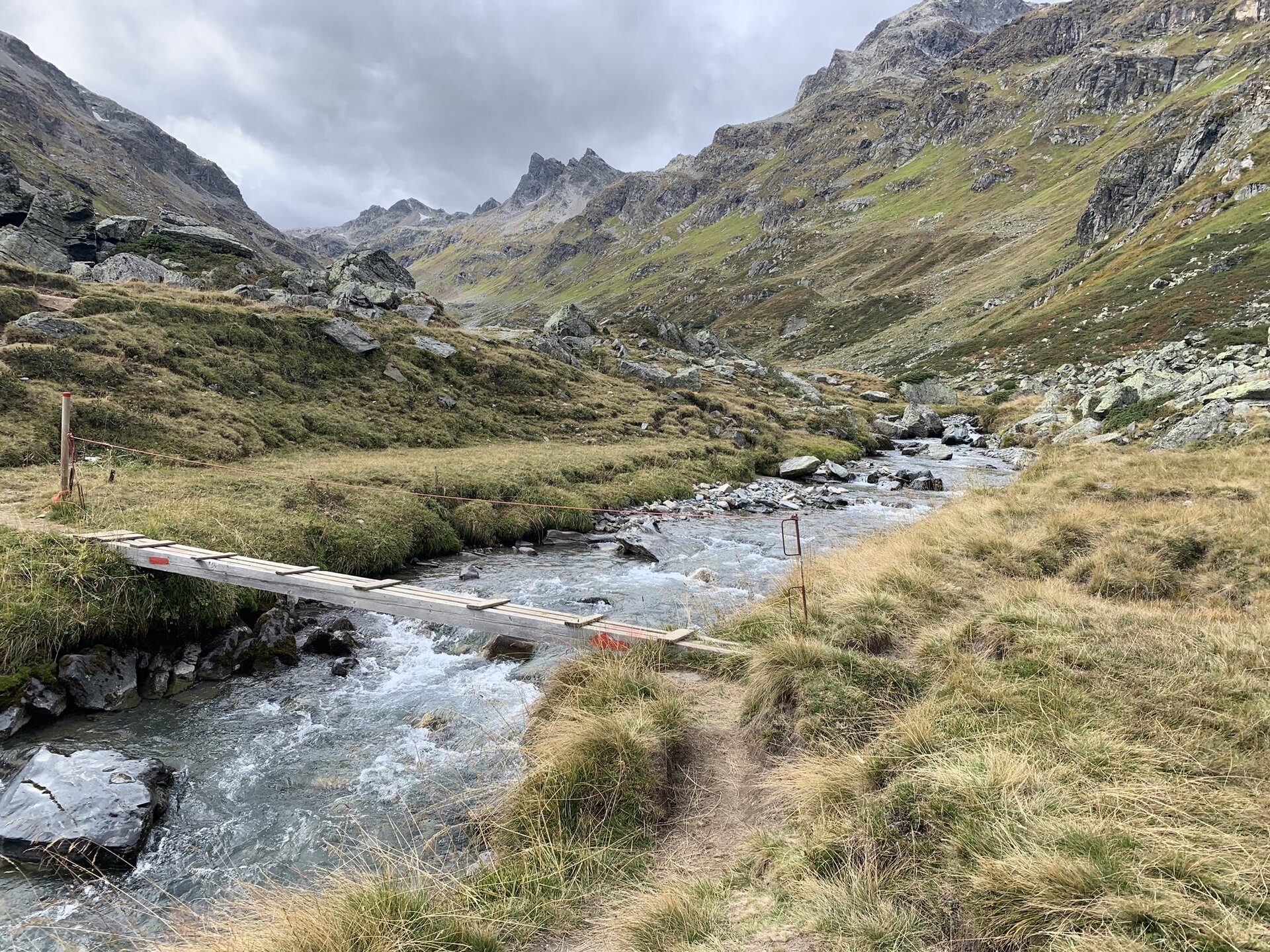
From Silvrettahütte SAC the ascent to the "Rote Furka" takes place, passing the glacier tongue of the Silvretta Glacier. At the pass height, the border to Austria is crossed again. The last section goes downhill through the Klostertal to the Silvretta Lake and then on to Silvretta-Bielerhöhe. Along the way, you pass the Klostertaler environmental hut (self-catering hut).
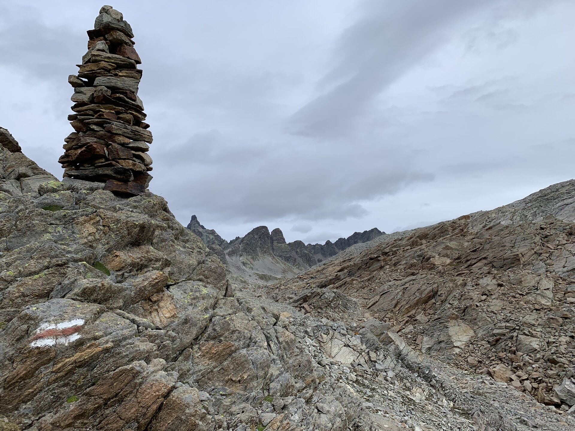
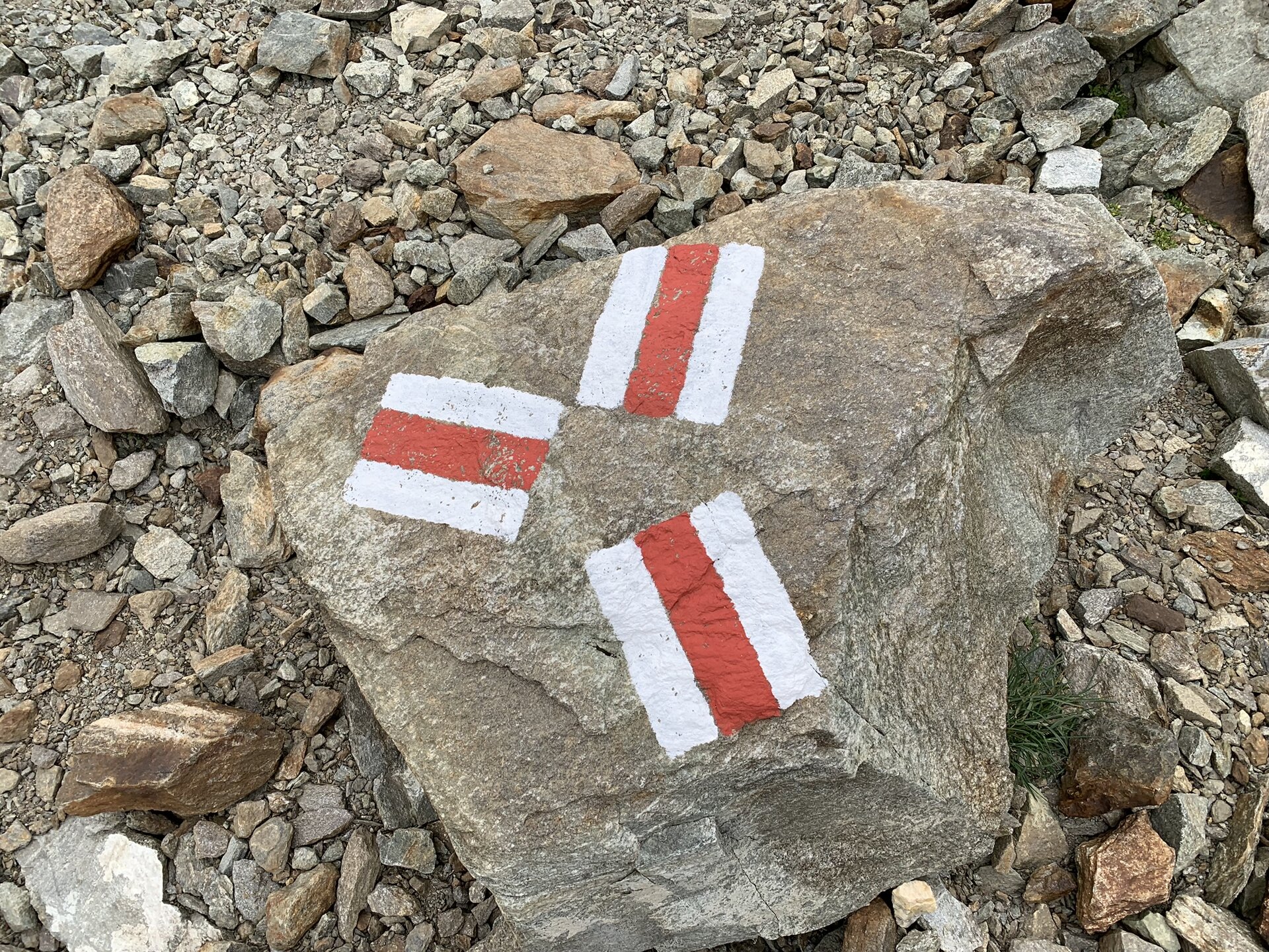
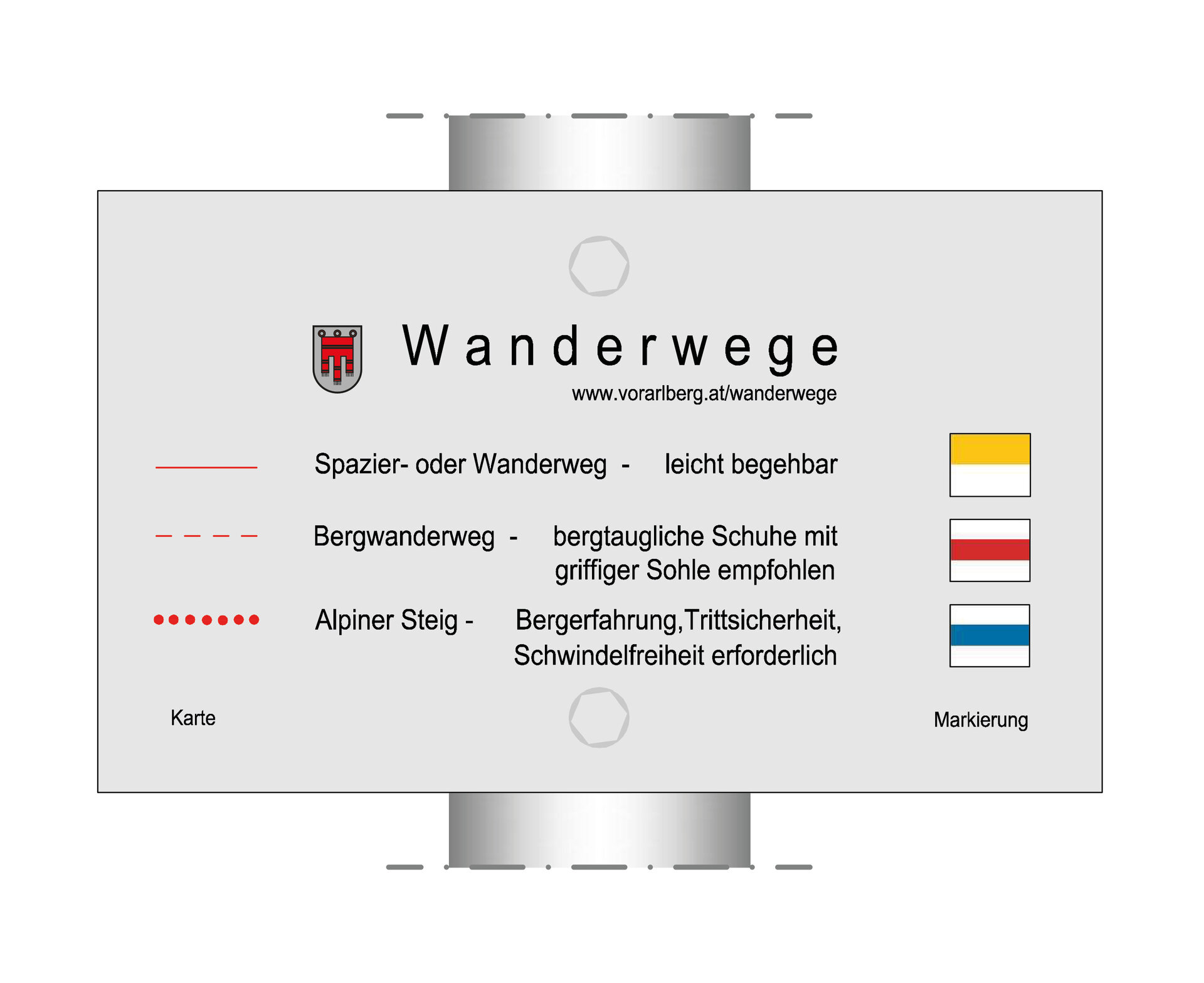
Alpine mountain path – may include safety ropes and footholds!
Due to a path closure along the west shore of the Silvretta Lake, the route to Silvretta Bielerhöhe runs along the east shore
Equipment
Good, ankle-high hiking boots with a good tread, take enough food and drinks, hiking poles are recommended
Tips
Always have the camera ready at hand.
Destination
Silvretta-Bielerhöhe, Silvrettasee bus stop
Starting Point
Silvrettahütte SAC (CH)
Sicherheitstipps für Wandern in Vorarlberg
EN NOTRUF:
EN 140 - Alpine Notfälle österreichweit
EN 144 - Alpine Notfälle Vorarlberg
EN 112 - Euro-Notruf (funktioniert mit jedem Handy/Netz)