Montafon Mountain Run ​-​ Race

Difficult
closed
Bergbahnauf-/-abstieg
Trail running | Running · Bergbahnauf-/-abstieg · Partenen
00:40 h duration
2,33 km Length in km
1533 m Highest point
1033 m Lowest point
500 m gain Ascent
2 m gain Descent
Stamina
Skill
Difficulty
Adventure
Scenery

Tour description

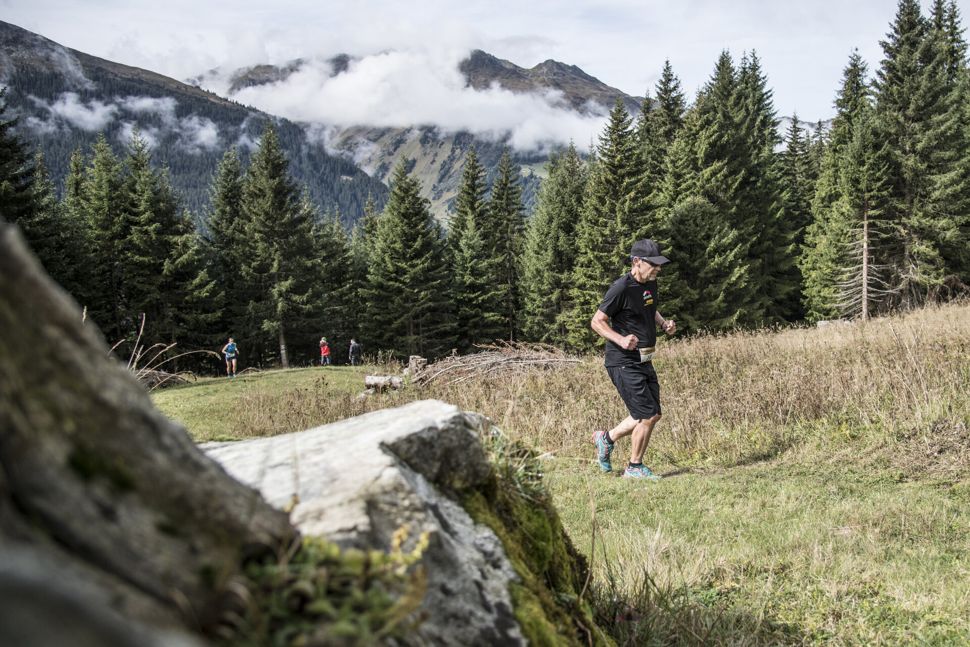
Narrow, steep, rocky: The Montafon Mountain Run in Partenen is a challenging athletic competition for anyone looking for a tough test over a short distance. The 2.0-kilometer race course features a 500-meter elevation gain and varied terrain.

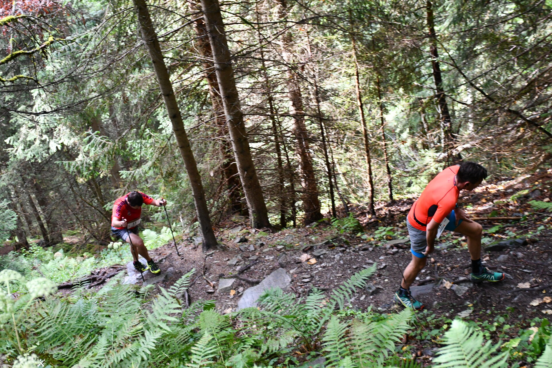
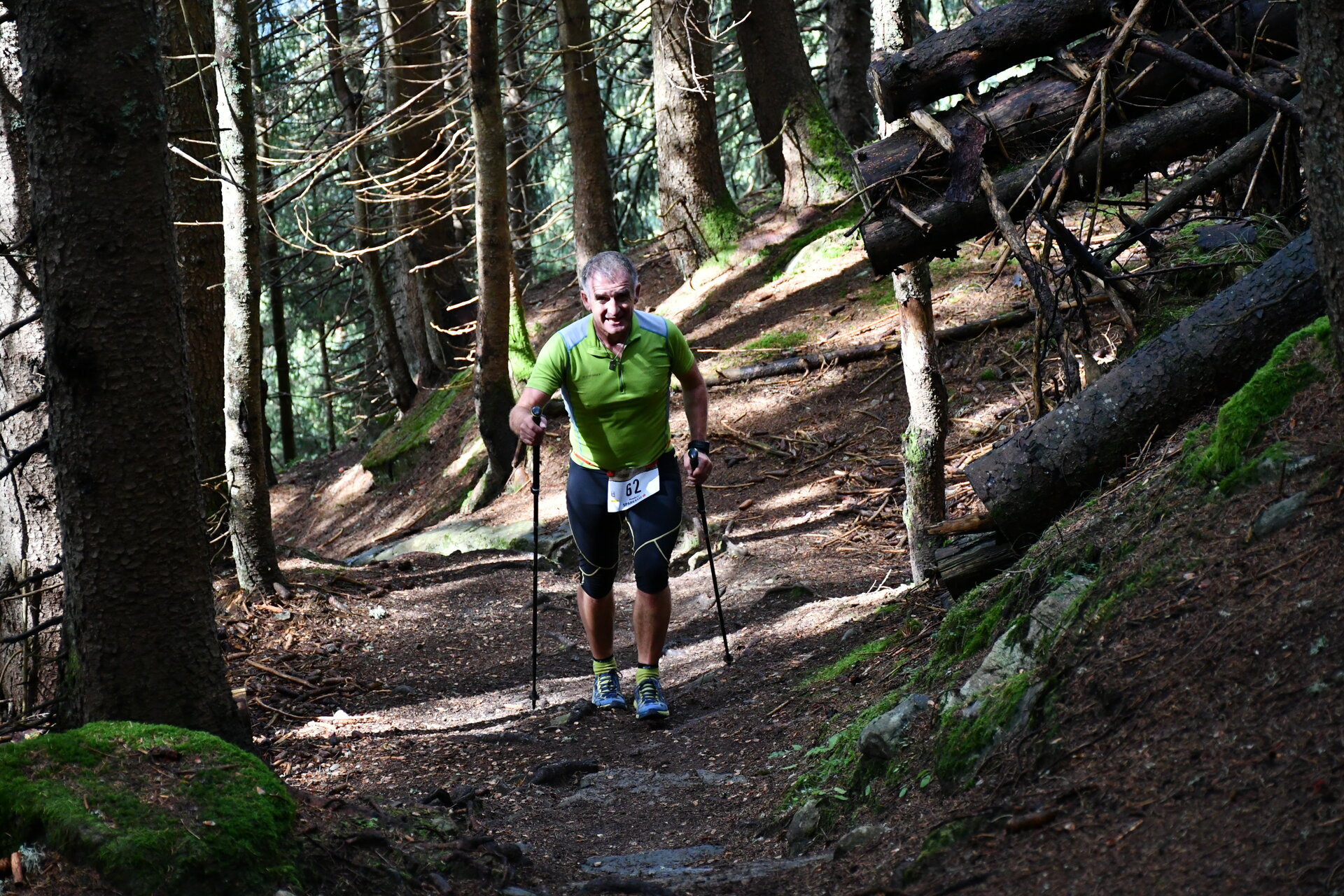
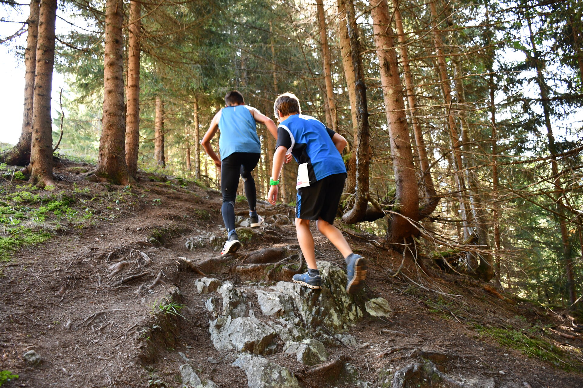
The Montafon Mountain Run is one of the most challenging mountain runs in the Montafon region. Over just 2.0 kilometers, participants climb 500 meters in elevation. Steep sections, narrow passages, and root-covered and rocky terrain demand endurance, sure-footedness, and full concentration.

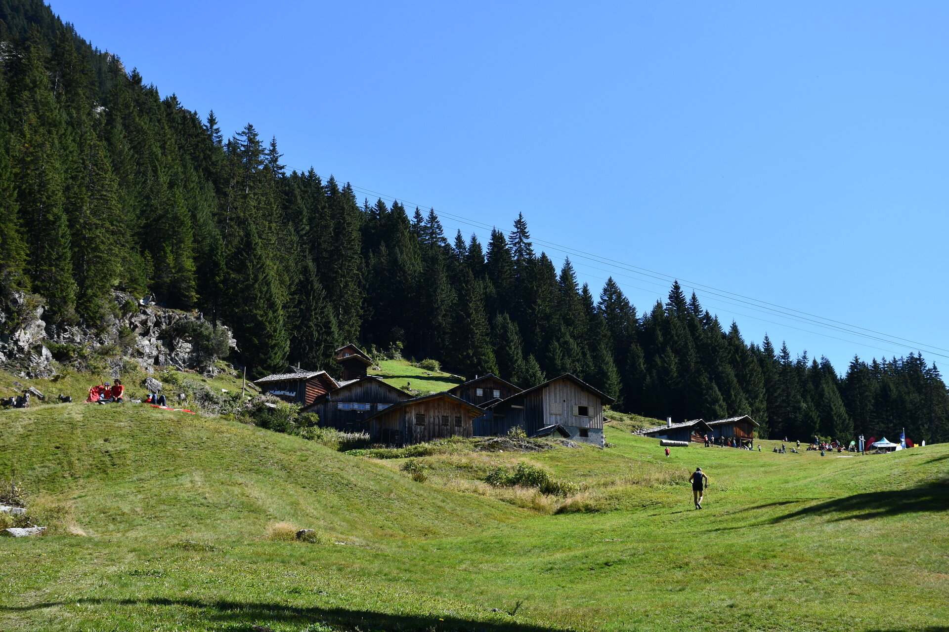
At the finish line at the Alpstöbli Tafamunt mountain inn, runners’ efforts are rewarded with a breathtaking mountain panorama. The event is aimed at ambitious runners looking for a short, technically challenging course.

For more information about the event, registration, and the schedule, visit the Silvretta Partenen Ski Club:

https://skiclubsilvrettapartenen.clubdesk.com/sommer/berglauf

Starting Point - Directions - End Point

Starting Point
Tafamuntbahn valley station in Partenen

Directions
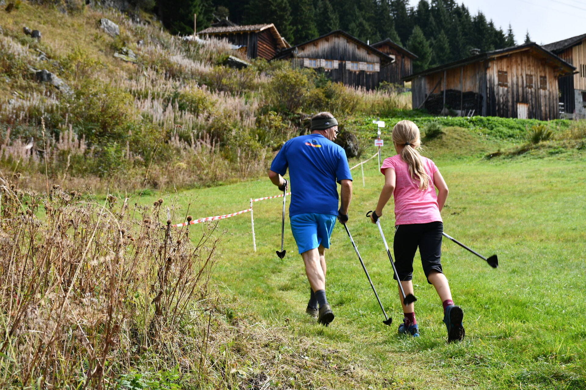
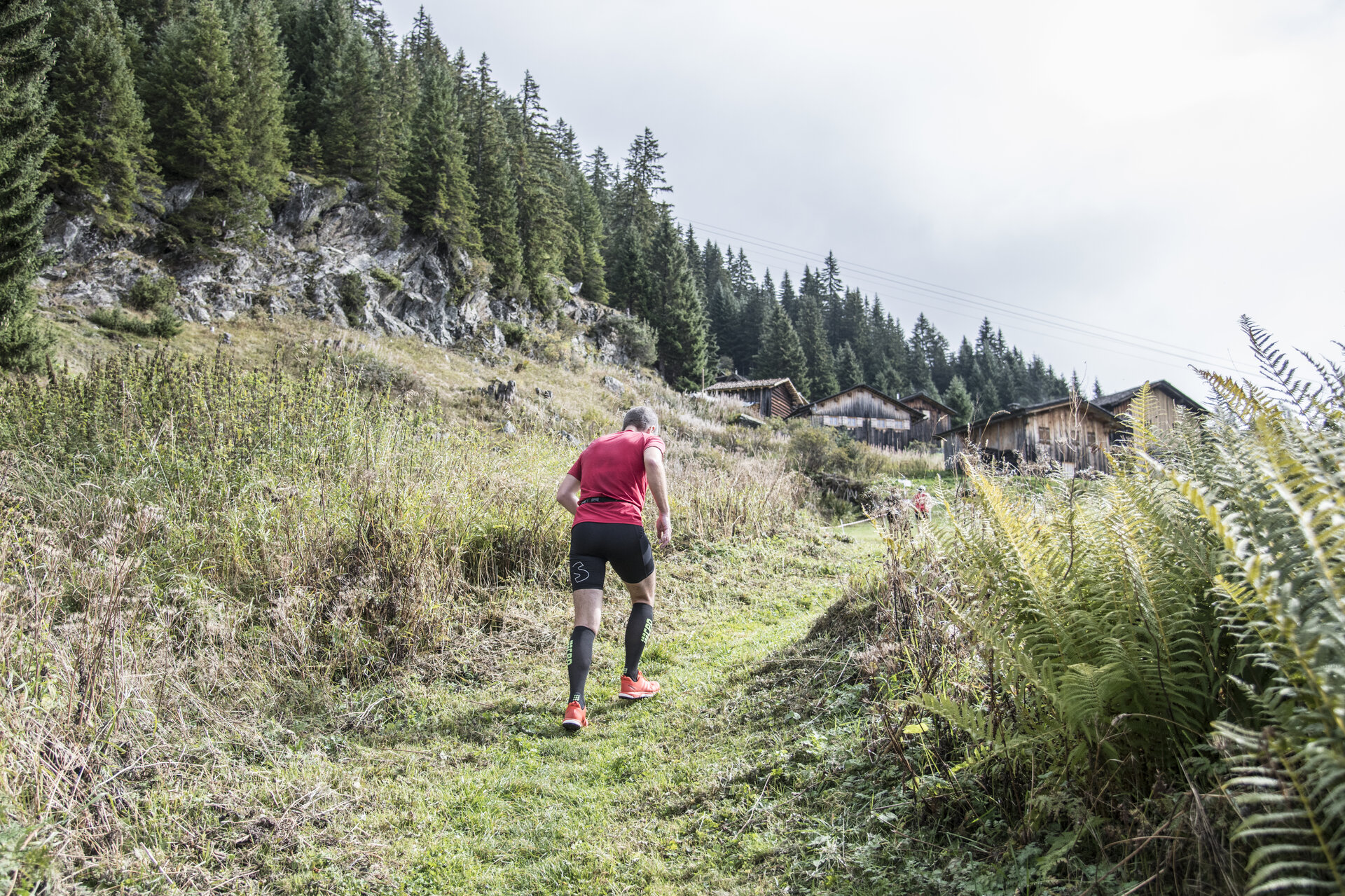
From the Tafamuntbahn valley station, the route leads through the Motta settlement and continues along a narrow forest trail with narrow passages and switchbacks through the Zerresner Forest. It then runs through the alpine pasture landscape of Innertafamunt to the Alpstöbli Tafamunt.
Please note: On race day, the start is in the meadow in front of the Kops I plant; before the last building in the Motta settlement, the route passes through a private garden, which results in a difference in the route length (2.3 km) compared to the hiking maps. The official race course on race day is 2.0 kilometers long.

End Point
Alpstöbli Tafamunt at the Tafamuntbahn mountain station
Please note the operating hours of the Tafamuntbahn for the descent by cable car

Getting to the starting point

The starting point is the Kops I portal at the valley station of the Tafamuntbahn

By public transportation

With the Montafon regional bus and the Montafonerbahn, you can get around the valley comfortably and flexibly. The train and bus connect the towns regularly, every half hour or every hour, depending on the route. You can find suitable connections in the cleVVVer mobil schedule app. Bus stop for the start and end of this tour: Partenen Bergbahnen.

By car

Take the A14 to the Bludenz/Montafon exit. Then follow the Montafonerstraße L188 to Partenen. Parking is available at the Vermuntbahn and the Tafamuntbahn.

Properties
Route type Trail running | Running, Bergbahnauf-/-abstieg
Difficulty Difficult
Start Talstation Tafamuntbahn Partenen
Finish Alpstöbli Tafamunt
Elevation profile
Best months
Jan
Feb
Mar
Apr
May
Jun
Jul
Aug
Sep
Oct
Nov
Dec