Mountain Stream Path

Difficult
Alpenmosaik - Rätikon
Rundtour
Themenweg · Hiking · Alpine mosaic – Rätikon · Alpine mosaic · Round trip · Vandans
03:00 h duration
8,01 km Length in km
1096 m Highest point
649 m Lowest point
447 m gain Ascent
446 m gain Descent
Stamina
Skill
Difficulty
Adventure
Scenery

Tour description

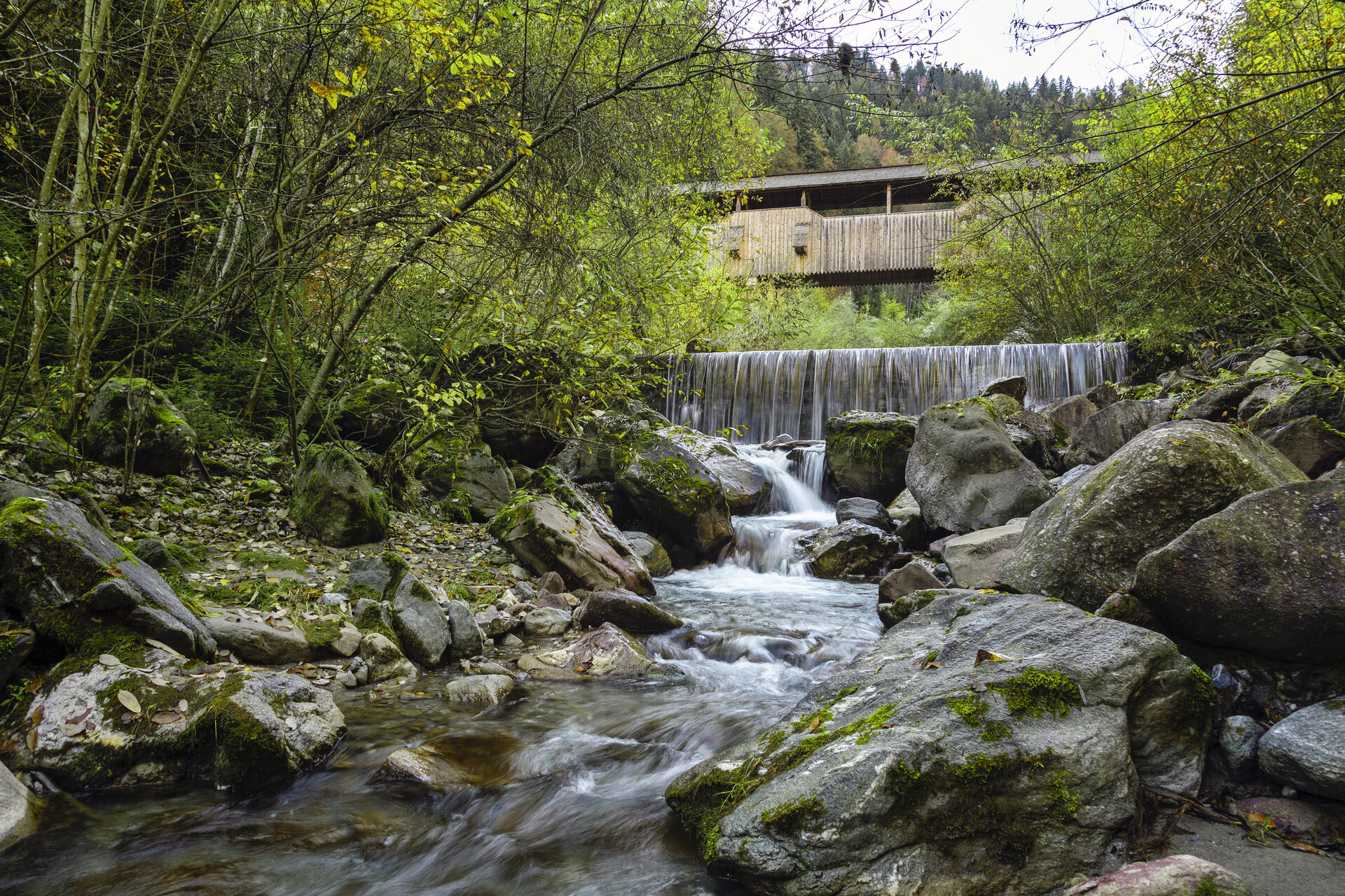
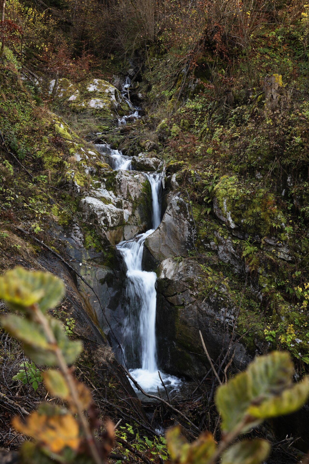
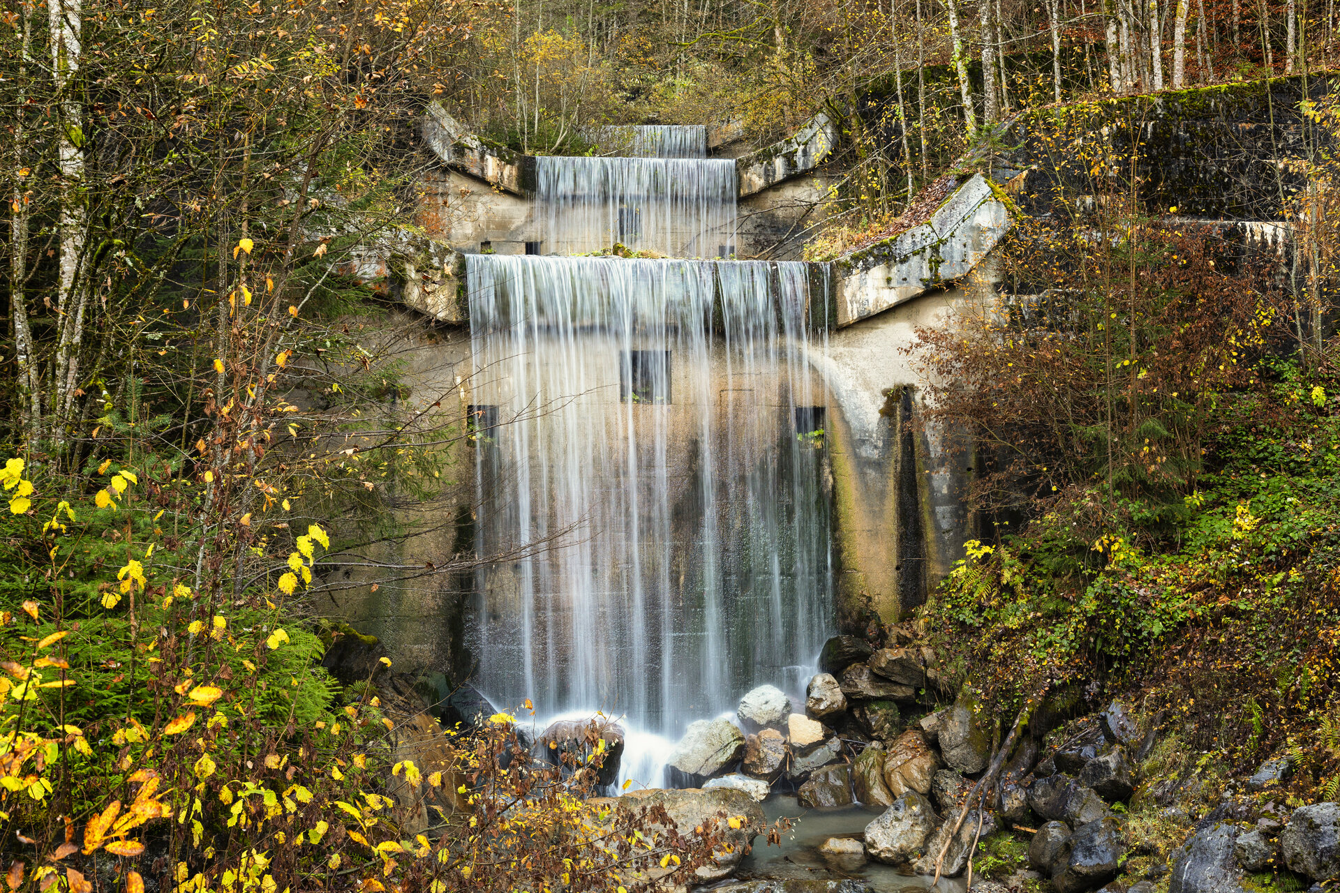
A shaded hiking trail along rushing streams, through open mixed forests, past gorges, waterfalls, a bridge, and stream barriers.

On this hike, you’ll experience the power of water in its various forms. Gorges carved out by water, small waterfalls, torrent barriers, and rushing ravines show just how much the torrents have shaped the Montafon landscape.

The trail runs mostly through shady forest and frequently passes right alongside the refreshing streams. This makes the hike a pleasant way to explore the alpine landscape out of the sun, especially on hot summer days.

What is the Montafon Alpine Mosaic?

The Montafon Alpine Mosaic showcases the scenic diversity of the Montafon. Four exploration areas—Verwall, Silvretta, Rätikon, and the valley—illustrate how geology, nature, and the cultural landscape are interconnected.

Along 34 themed trails, you can discover the unique features of these diverse landscapes. Starting points, themes, and stories along the trails constantly offer you new perspectives on the Montafon.

So: Choose an exploration area, lace up your hiking boots, and discover the diversity of the Montafon step by step.

You can find more information about the Montafon Alpine Mosaic HERE.

Starting Point - Directions - End Point

Starting point
Vandans, Golmerbahn valley station

Directions
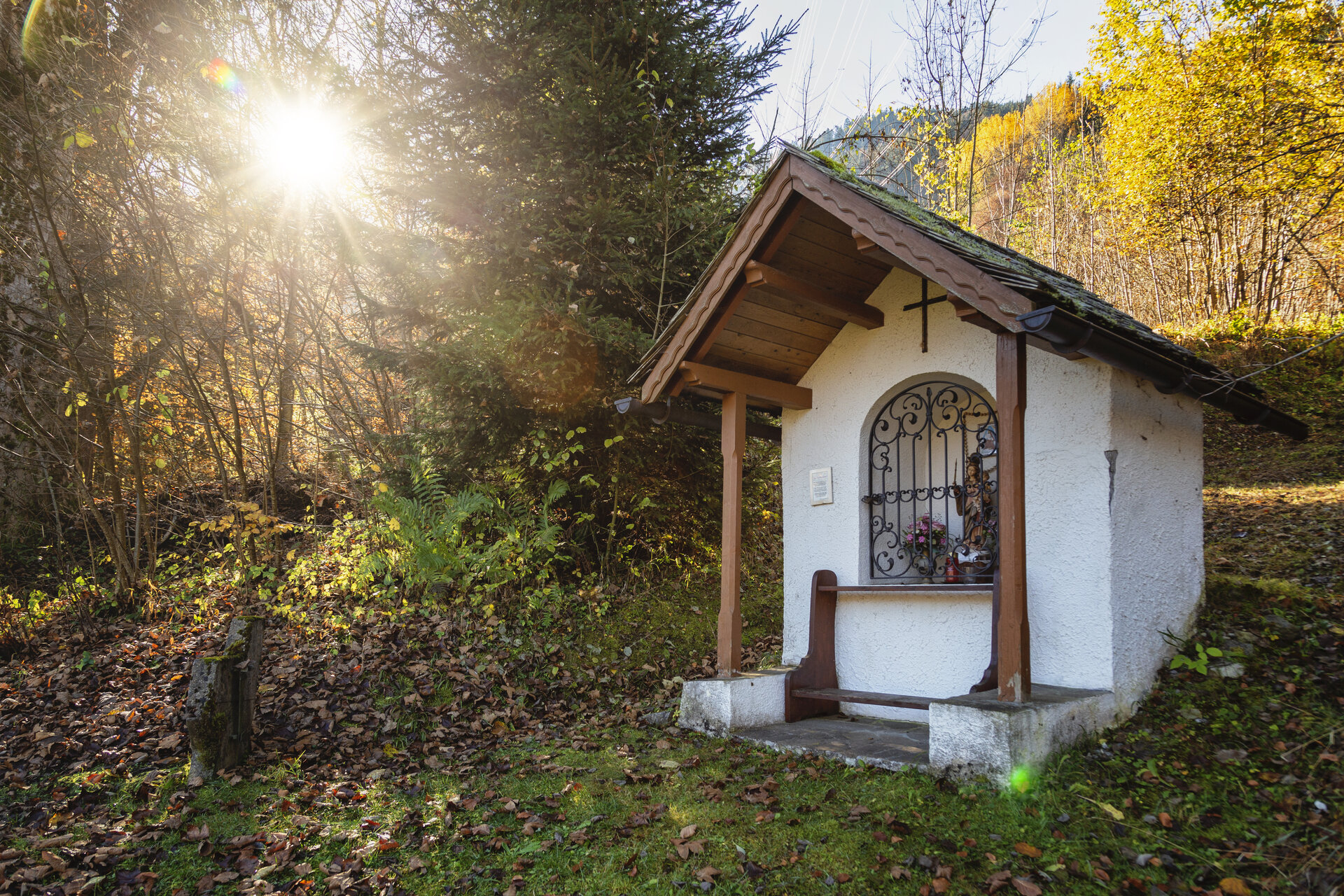
From the valley station of the Golmerbahn in Vandans, the trail leads you along the toboggan run to the “Granna” wayside shrine. The narrow hiking trail then winds its way along the Aualatschbach stream to the hamlet of Landschisott.

After briefly leaving the forest, the trail winds its way up and down the mountain above Vandans. Passing through Mularintsch and Mansaura, you’ll reach the Rellsbach stream. From there, follow the stream path downhill and hike along the torrent back to the Golmerbahn valley station.

End Point
Vandans, Golmerbahn valley station

Getting to the starting point

Getting to the Starting Point
The starting point for the tour is the Golmerbahn valley station in Vandans.

By public transportation:
The Montafon regional bus and the Montafonerbahn railway offer a comfortable and flexible way to get around the valley. Trains and buses run regularly between the towns, every half hour or every hour depending on the route. You can find the right connection HERE. Bus stop at the start/end of this tour: Vandans Golmerbahn

By car:
Take the A14 to the Bludenz/Montafon exit, then follow the Montafonerstraße L188. At Hosensee, turn right toward Golmerbahn Vandans and follow the road to the valley station. Free parking is available right at the valley station.

Important Information

For this hike, we recommend hiking boots with good traction. Hiking poles can help you navigate the alternating ascents and descents.

Tips

In some places, you can cool off right away in the cold mountain water. This is a welcome refreshment, especially on hot summer days.

Sicherheitstipps für Wandern in Vorarlberg

EN NOTRUF:

EN 140 - Alpine Notfälle österreichweit 

EN 144 - Alpine Notfälle Vorarlberg 

EN 112 - Euro-Notruf (funktioniert mit jedem Handy/Netz) 

Properties
Route type Themenweg, Hiking, Alpine mosaic – Rätikon, Alpine mosaic, Round trip
Difficulty Difficult
Start Talstation Golmerbahn, Vandans
Finish Talstation Golmerbahn, Vandans
Elevation profile
Best months
Jan
Feb
Mar
Apr
May
Jun
Jul
Aug
Sep
Oct
Nov
Dec