Hiking Trip to the Drei Türme

Difficult
Einkehrmöglichkeit
Mountaineering · Refreshment stops
09:00 h duration
19,5 km Length in km
2830 m Highest point
993 m Lowest point
1837 m gain Ascent
1837 m gain Descent
Stamina
Difficulty
Adventure
Scenery

Tour description

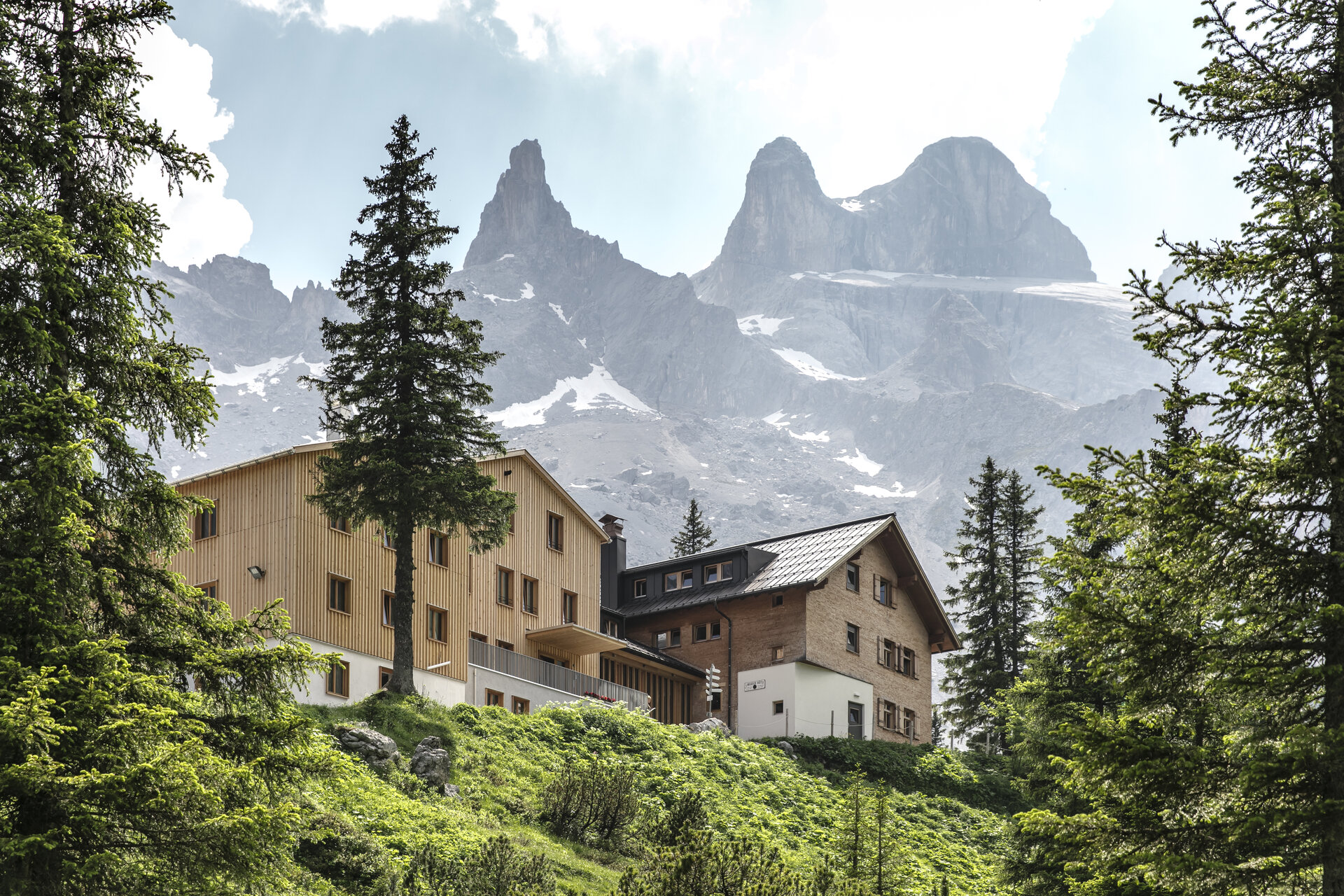
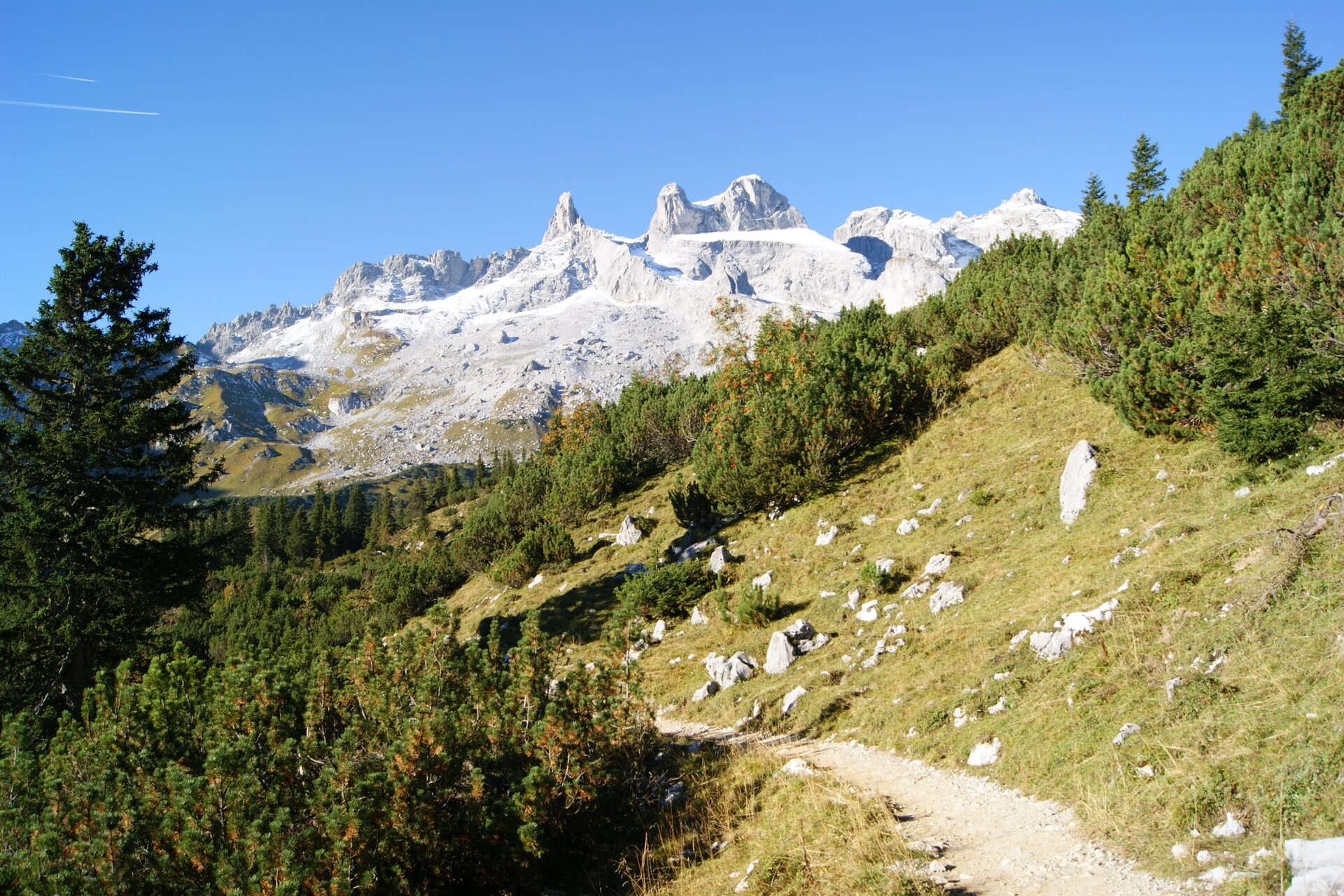
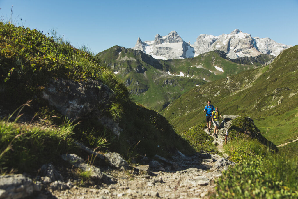
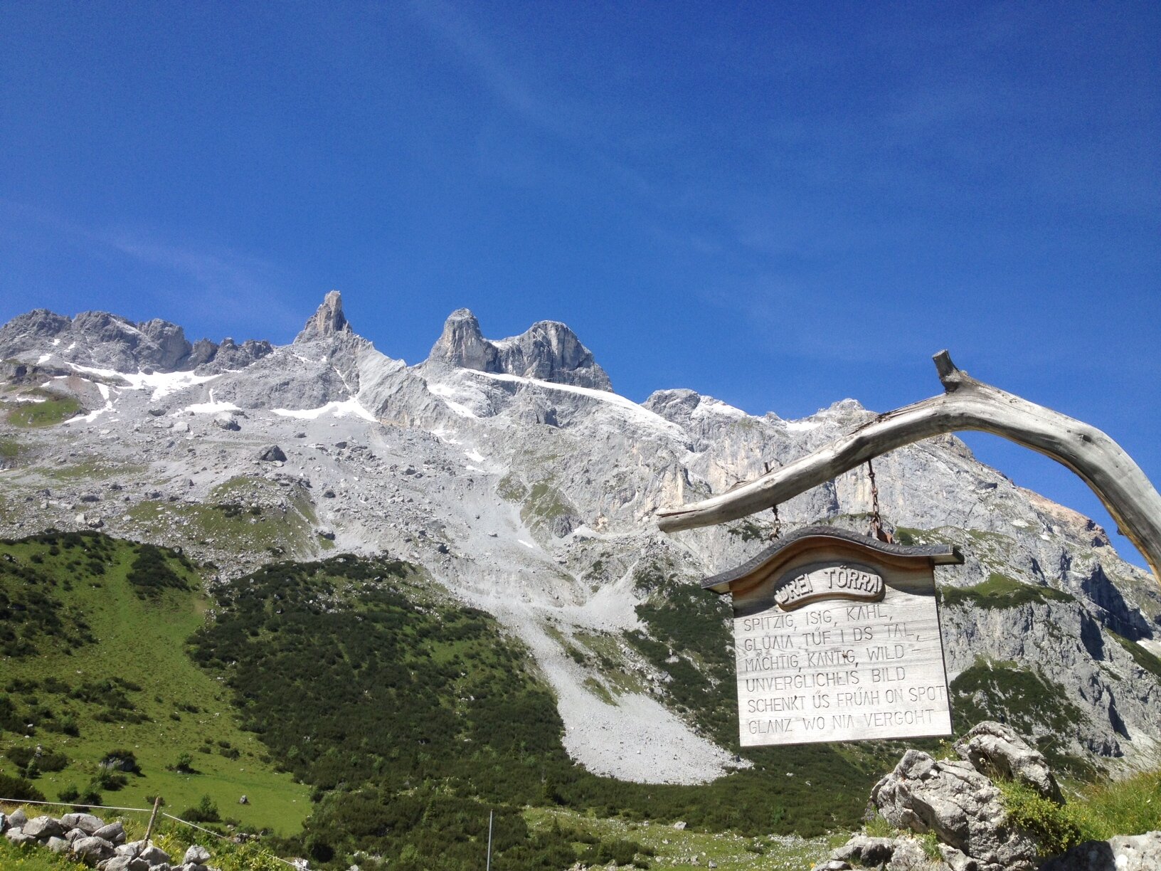
With their unmistakable silhouette, the Three Towers dominate the Rätikon landscape and are considered the symbol of the Montafon. This challenging mountain hike takes you deep into a breathtaking high-mountain world of light-colored limestone cliffs, wide valleys, and striking peaks.

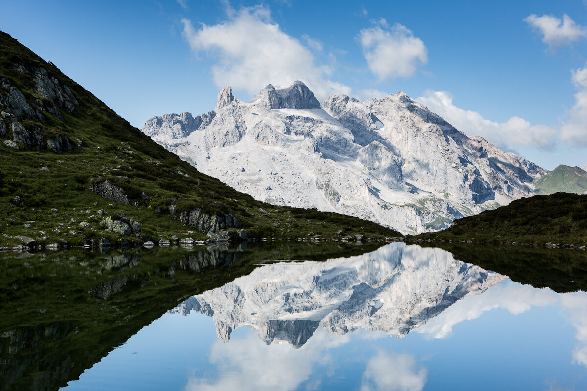
The Small, Middle, and Large Drusen Towers rise toward the sky, almost like dolomite formations. The highest of the three peaks reaches 2,830 meters, while the massive rock faces on the south side drop steeply for up to 600 meters. On this hike, you’ll experience the Three Towers up close and, at the same time, discover the “Botha-Loch” natural monument—a visible testament to the turbulent geological history of this mountain landscape.

This extensive hike connects the unspoiled Gauertal valley with the rugged peaks of the Rätikon. It requires excellent physical fitness, alpine experience, sure-footedness, and a head for heights. In return, it offers you breathtaking views of a mountain formation that has accompanied, fascinated, and challenged people in the Montafon for generations.

Starting Point - Directions - End Point

Starting Point

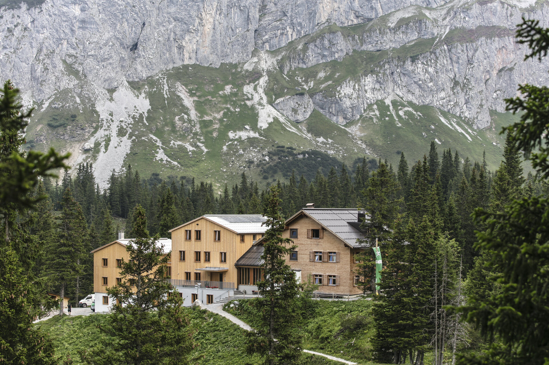
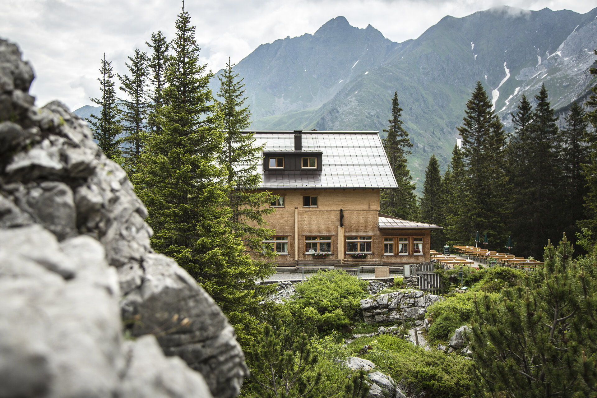
The mountain hike starts in Latschau. First, you’ll hike through the Gauertal valley to the Lindauer Hütte. You should plan on spending about two to two and a half hours on this first section. At the hut, you can refuel before the alpine part of the hike begins.

Directions

From the Lindauer Hut, follow the signs toward Drusentor and Drei Türme. The trail leads between Sulzfluh and Drusenfluh toward the Swiss border. Along the way, you’ll also pass the “Botha-Loch” natural monument. However, do not hike all the way to Drusentor; instead, turn right at the signposted junction toward Drei Türme.

Use the Sporaturm—a prominent rock tower located just ahead of the Drei Türme—as a landmark. First, head directly toward it, then pass to its left. As you do so, you’ll cross a steep scree slope with loose rocks. There is an increased risk of rockfall here. Therefore, be especially careful to maintain a safe distance from other climbers. Along the rest of the ascent, individual markers will help you find your way.

You’ll then reach a cirque that leads steeply upward to the left of the Mittlerer Drusenturm. Toward the end, the gradient increases significantly. If there are snowfields, crampons are strongly recommended. On the right side of the cirque is a wire rope, which may be partially covered depending on snow conditions.

After about 20 minutes, you’ll reach the saddle between the Großer Drusenturm and the Mittlerer Drusenturm. From the saddle, it’s a short walk to the summit cross on the Middle Tower. To reach the Great Tower, head left from the saddle; after about ten minutes, you’ll reach the highest point of the Three Towers at 2,830 meters. There is a summit logbook there, but no summit cross.

End Point

The descent follows the same route. You’ll head back down across the cirque and the scree slope to the Lindauer Hut, and then hike through the Gauertal valley back down to the starting point in Latschau.

Getting to the starting point

Getting to the starting point
The starting point for the tour is Latschau.

By public transportation:

The Montafon regional bus and the Montafonerbahn provide convenient and flexible travel throughout the valley. Trains and buses run regularly between the towns, every half hour or every hour depending on the route. You can find the right connection here. Bus stop at the start/end of this tour: Latschau Golmerbahn

By car:

Take the A14 to the Bludenz/Montafon exit, then follow the Montafoner Straße L188 to Tschagguns and continue on to Latschau to the Latschau hiking parking lot (fee applies) or the Golmerbahn Latschau parking lot.

Important Information

For this challenging mountain hike, we recommend that you bring the right gear: a daypack with a rain cover, sturdy and comfortable footwear, weather-appropriate and durable clothing in layers, trekking poles if needed, sun and rain protection, provisions and plenty of drinking water, a first-aid kit, a pocket knife, a cell phone, a headlamp if needed, and maps.

The smallest of the Three Towers can only be reached by climbing; using a rope for safety is strongly recommended.

Tips

The hike becomes a bit more relaxed if you plan to spend the night at the Lindauer Hütte. That way, you can split the long approach into two days and start the alpine portion of the hike the next morning well-rested.

In addition, our Montafon mountain guides would be happy to lead you to this summit. You can find more information at www.montafon-bergfuehrer.at

Sicherheitstipps für Wandern in Vorarlberg

EN NOTRUF:

EN 140 - Alpine Notfälle österreichweit 

EN 144 - Alpine Notfälle Vorarlberg 

EN 112 - Euro-Notruf (funktioniert mit jedem Handy/Netz) 

Properties
Route type Mountaineering, Refreshment stops
Difficulty Difficult
Start Golmerbahn Mittelstation Latschau
Finish Bushaltestelle Golmerbahn Latschau
Elevation profile
Best months
Jan
Feb
Mar
Apr
May
Jun
Jul
Aug
Sep
Oct
Nov
Dec