Valkastiel Via Ferrata Park

Moderate
open
Mountaineering · Klettersteig · Vandans
03:00 h duration
5,41 km Length in km
1048 m Highest point
646 m Lowest point
400 m gain Ascent
400 m gain Descent
Stamina
Difficulty
Adventure
Scenery

Tour description

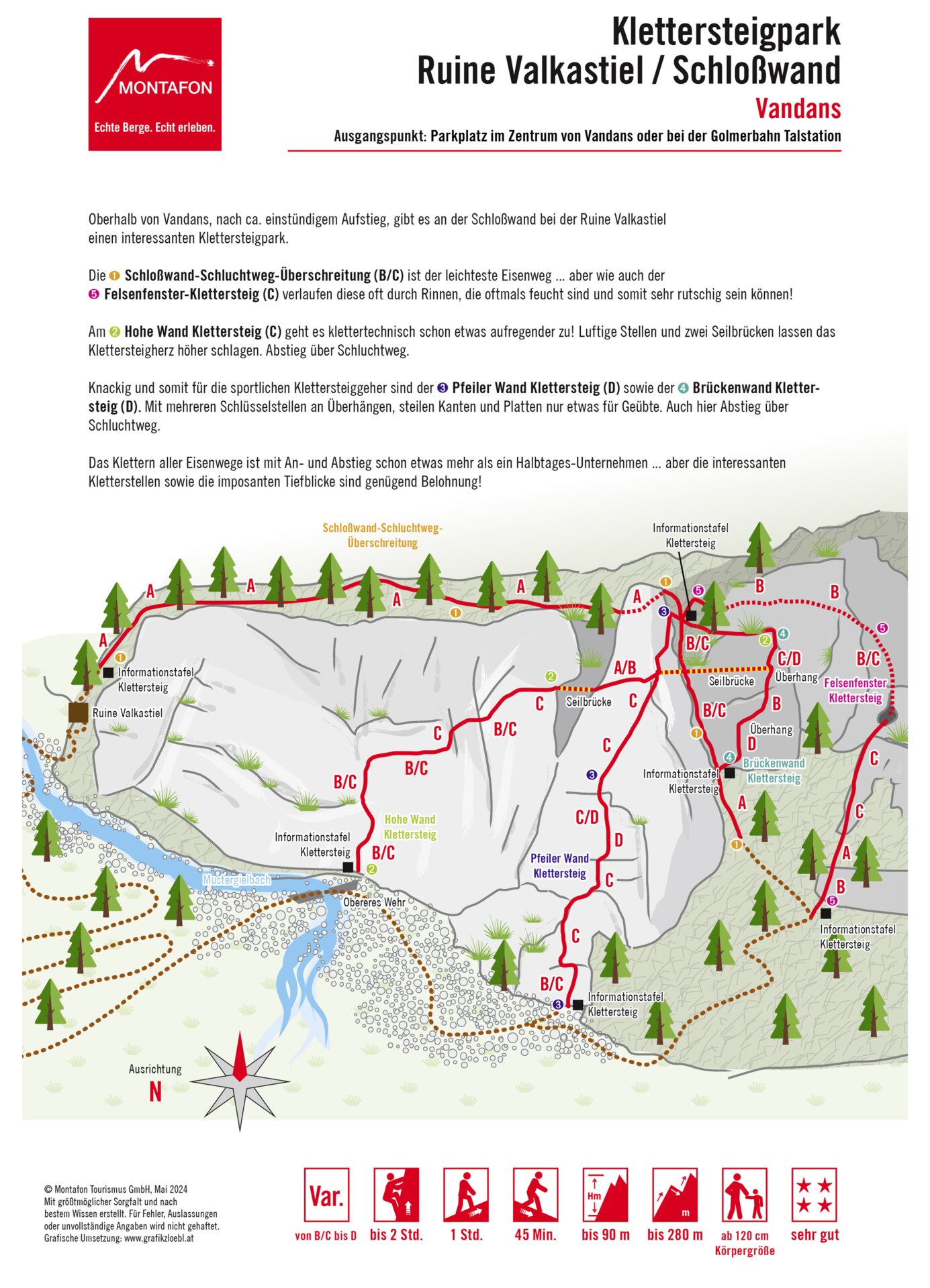
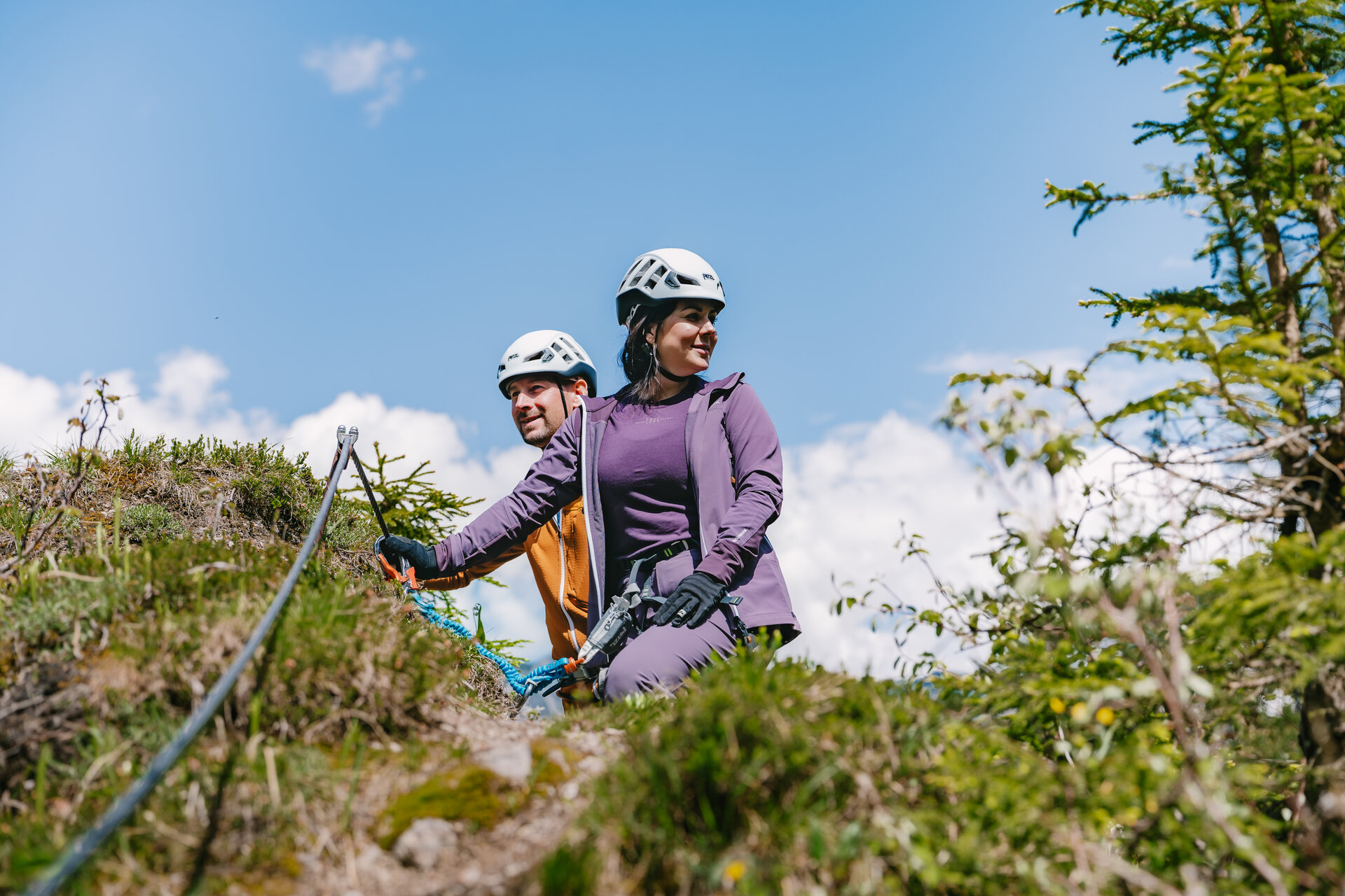
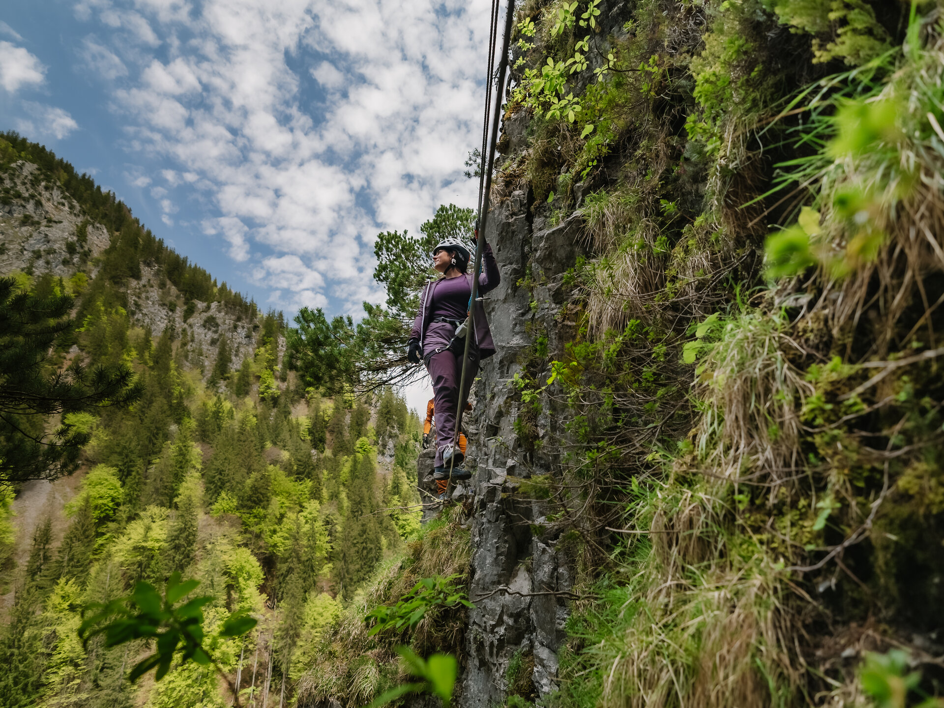
Five via ferrata routes, a castle ruin in a dramatic setting, and breathtaking views down into the valley: The Valkastiel Via Ferrata Park offers you a diverse rock-climbing experience with varying difficulty levels ranging from B/C to D.

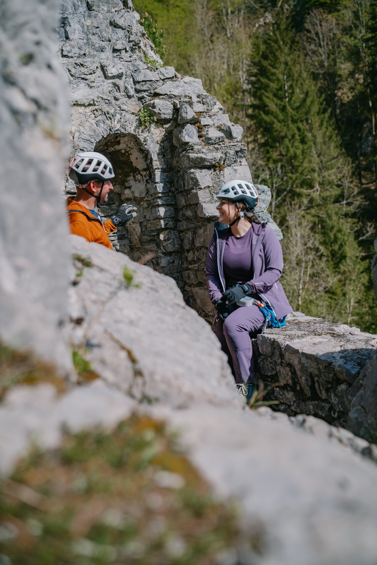
The ruins of Valkastiel Castle are located above the town of Vandans at an elevation of about 1,000 meters above sea level in an extremely exposed location. It’s unclear exactly when these ancient walls were built, but what is certain is that there’s now a via ferrata park up there, offering a diverse climbing experience with five routes of varying difficulty levels.

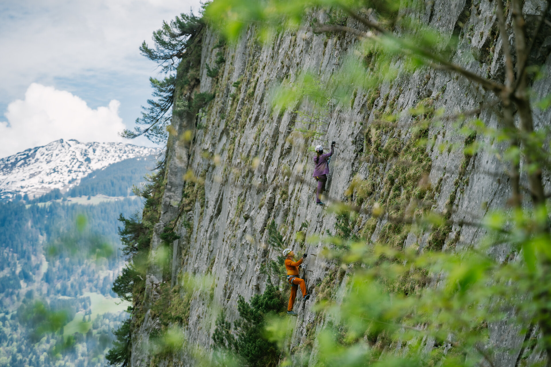
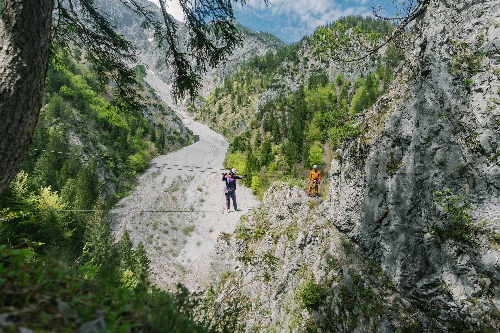
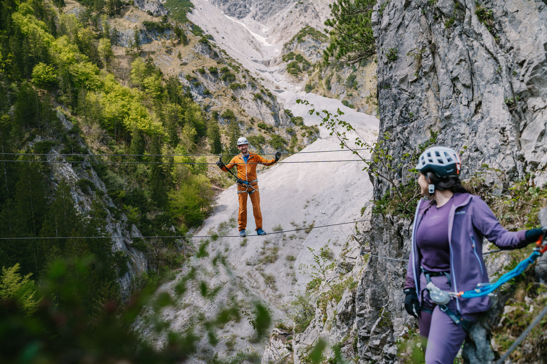
The routes lead through gorges, across slabs and steep pillars, and over airy rope bridges.

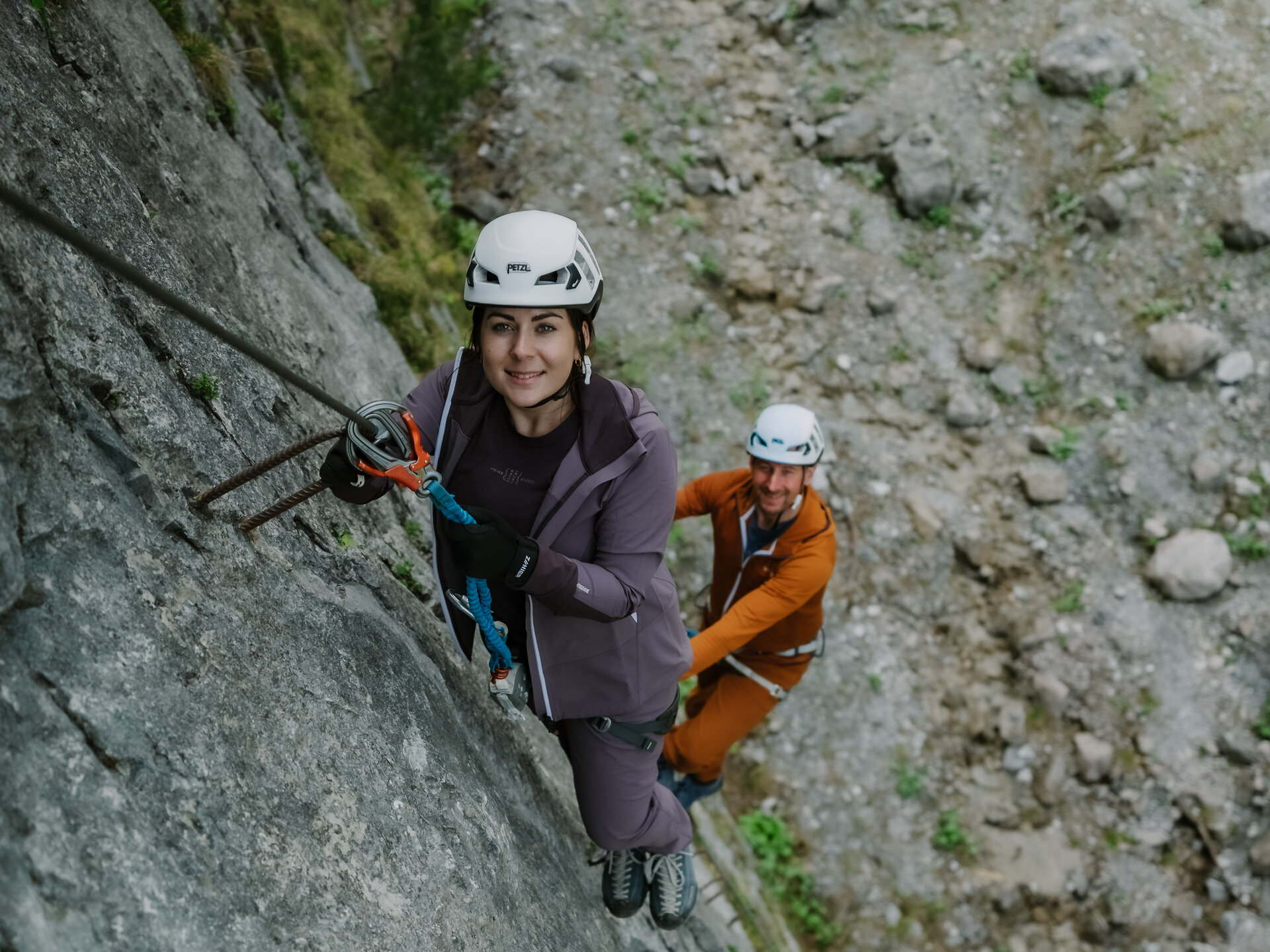
While the easier routes are well-suited for beginners, the challenging D-routes require experience, strength, and sound climbing technique. For all routes combined—including the approach and descent—you should plan on spending more than half a day.

Start - Directions - Descent

Access

From the starting point in Vandans, follow the main road to Heitersheimer Platz. After crossing the bridge, walk uphill along the Mustergielbach stream and follow the embankment to the entrance of the via ferrata park.

Route Description

The Schlosswand-Schluchtweg traverse, rated B/C, is the easiest route. The Felsenfenster via ferrata, rated C, also leads through gullies in some sections that can be damp and slippery.

On the Hohe-Wand via ferrata (difficulty level C), you’ll encounter exposed sections and two rope bridges.

Significantly more challenging are the Pfeilerwand via ferrata and the Brückenwand via ferrata, both rated D. Overhangs, steep edges, and slabs make these routes a challenge even for experienced via ferrata climbers.

Please note that the gullies and gorge sections can be very slippery, especially when wet.

Descent

For several routes, the descent follows the Schluchtweg trail. From there, you’ll return to Vandans via the approach trail along the Mustergielbach stream.

Getting to the starting point

This tour starts in the center of Vandans.

Getting to the center of Vandans by public transportation

With the Montafon regional bus and the Montafonerbahn, you can travel comfortably and flexibly throughout the valley. The train and bus connect the towns regularly, every half hour or every hour depending on the route. You can find the right connection here. Bus stop at the start/end of this tour: Vandans Center, Golmerbahn valley station, or Vandans train station

Getting to Vandans by car:

Take the A14 to the Bludenz/Montafon exit and continue on the Montafoner Straße L188 to the intersection near the Vandans train station; turn right there. Free parking is available in the town center near the town hall or at the Golmerbahn valley station.

Equipment

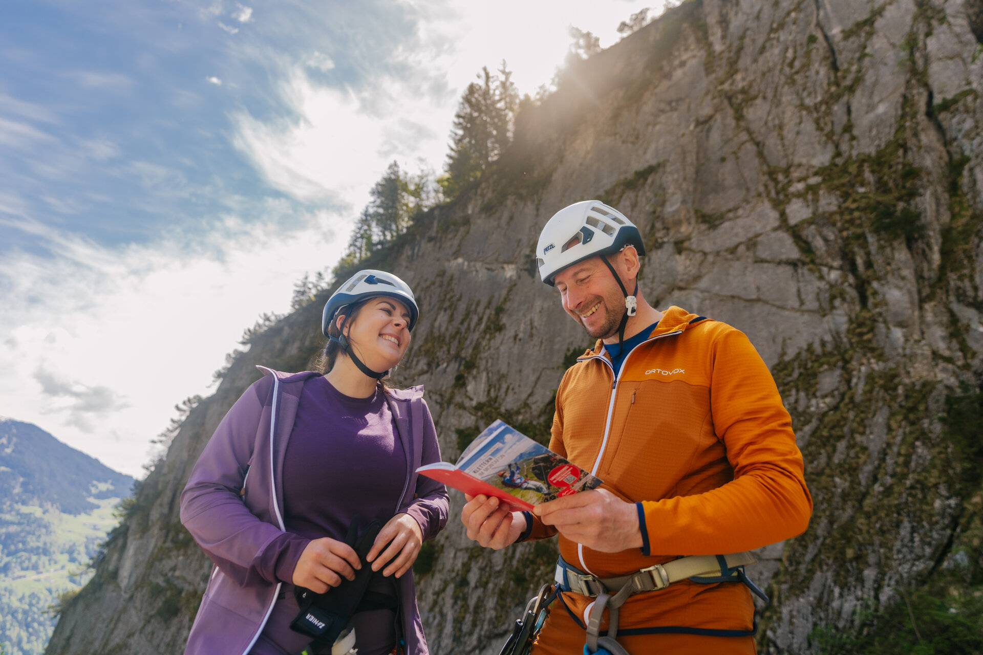
You climb the via ferrata at your own risk and responsibility. Please check the weather, current conditions, snow conditions, and difficulty level in advance. Realistically assess your experience, surefootedness, ability to handle heights, and physical fitness.

A complete set of standard-compliant via ferrata equipment is absolutely essential. This includes a hip belt, via ferrata set, helmet, and gloves. Equally important is appropriate footwear: sturdy, ankle-high hiking boots with good traction.

Your backpack should also include plenty of food, sun and rain protection, and a first-aid kit.

In the Montafon, you can rent high-quality via ferrata equipment at select sports shops. Please check in advance regarding availability, sizes, and reservation options.

Sicherheitstipps für Wandern in Vorarlberg

EN NOTRUF:

EN 140 - Alpine Notfälle österreichweit 

EN 144 - Alpine Notfälle Vorarlberg 

EN 112 - Euro-Notruf (funktioniert mit jedem Handy/Netz) 

Properties
Route type Mountaineering, Klettersteig
Difficulty Moderate
Start Friedhofskirche Vandans
Finish Friedhofskirche Vandans
Elevation profile
Best months
Jan
Feb
Mar
Apr
May
Jun
Jul
Aug
Sep
Oct
Nov
Dec