From St​.​ Anton to the Davennaspitze

Difficult
Hiking
06:15 h duration
12,8 km Length in km
1881 m Highest point
624 m Lowest point
1243 m gain Ascent
1243 m gain Descent
Difficulty

Tour description

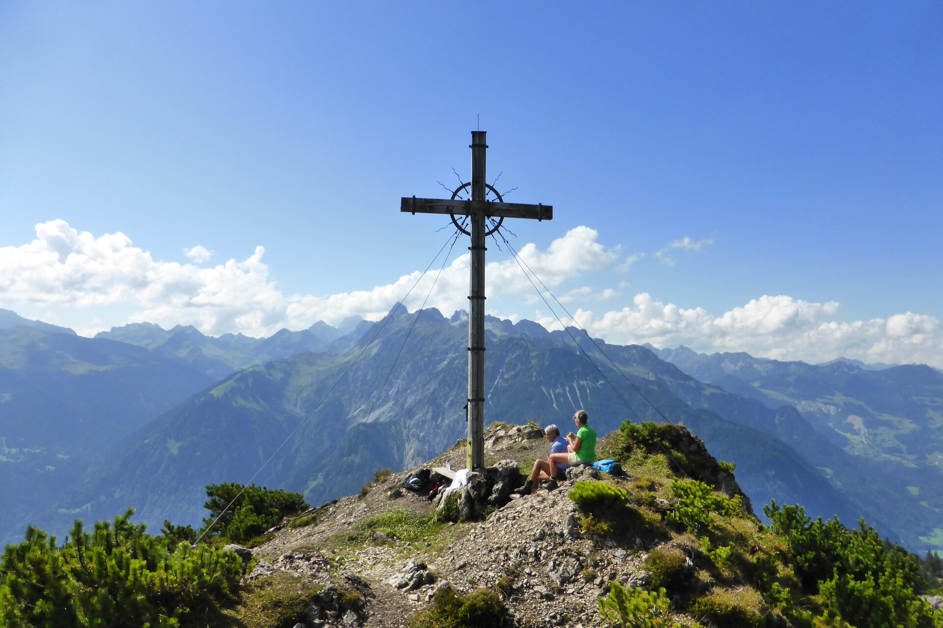
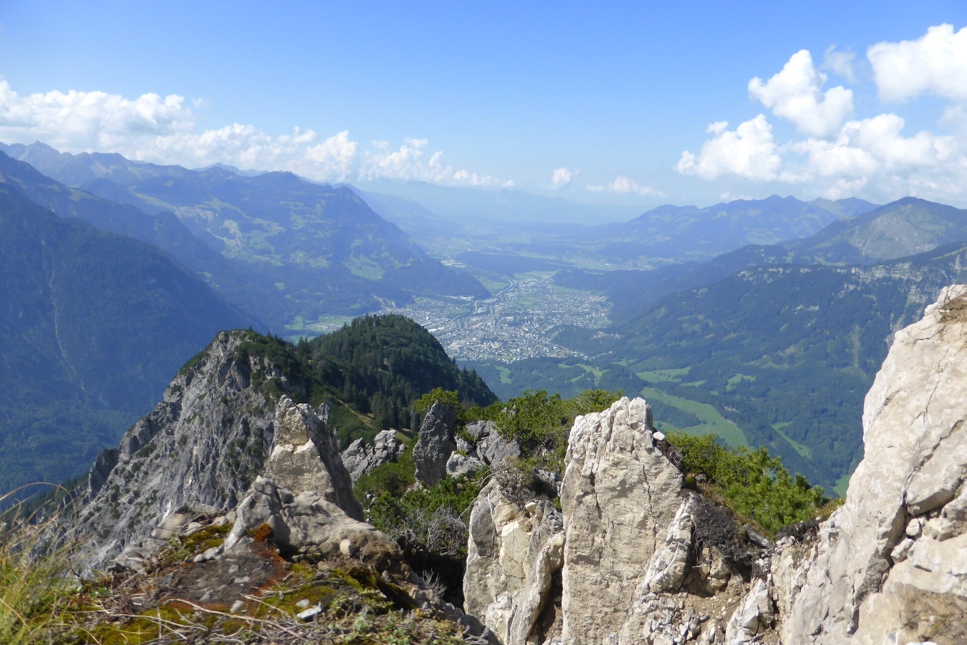
Starting from the town center of St. Anton im Montafon, this challenging summit hike takes you past the Valleu Chapel up to the Davennaspitze, where you’ll be rewarded with a surprisingly sweeping view of the entrance to the Montafon Valley.

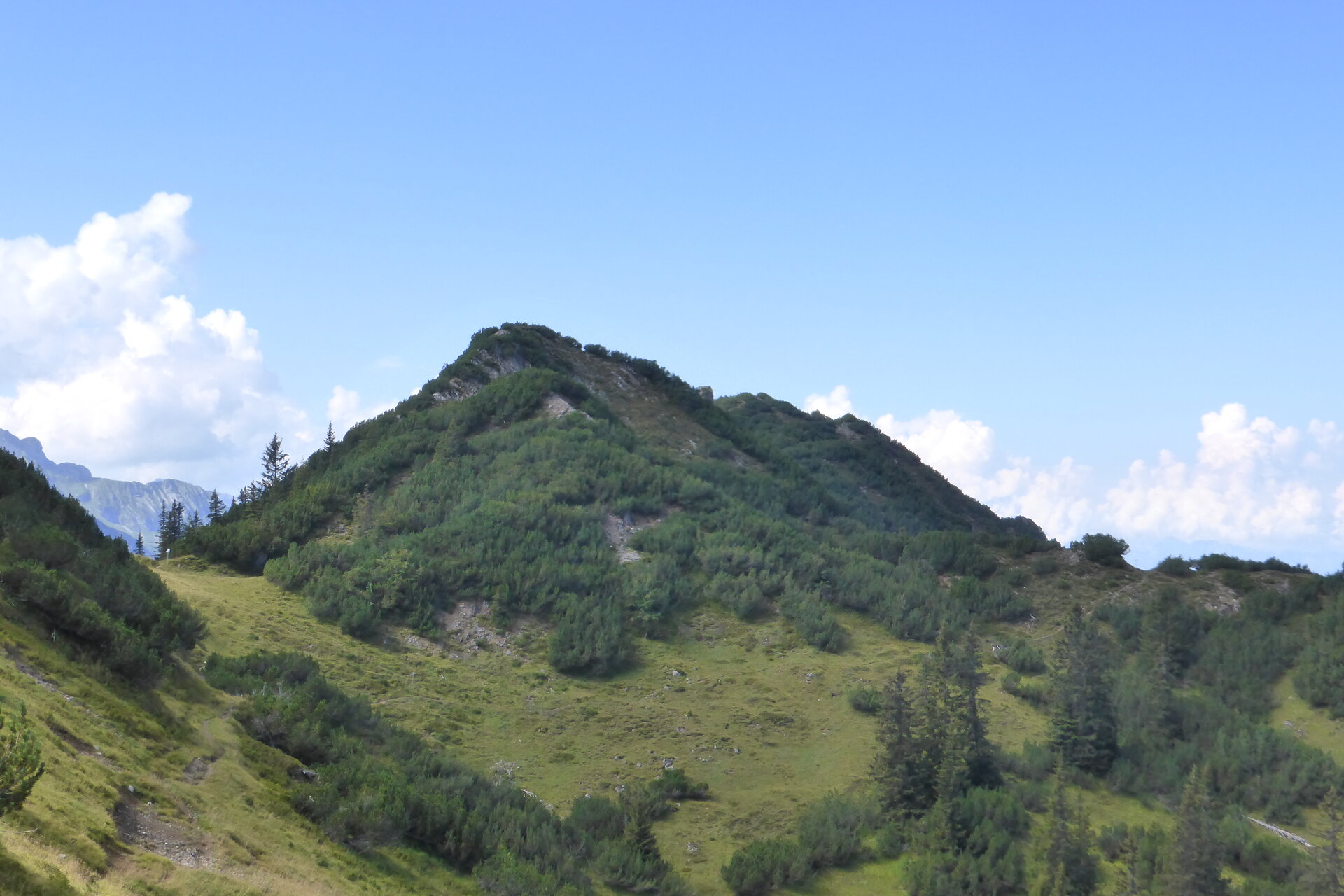
Your long ascent begins right in the village: From St. Anton im Montafon, you climb steadily past the Valleu Chapel up to the Davennaspitze at 1,881 meters. With every meter of elevation gain, the view changes, and the valley entrance gradually recedes below you. Once you reach the summit, the view opens up to take in the surrounding mountains, before you return to St. Anton via the same route.

Starting Point - Directions - End Point

Starting Point
Downtown St. Anton im Montafon

Directions
From the town center of St. Anton im Montafon, follow the hiking trail uphill toward Valleu. After about 3 kilometers, you’ll reach the Valleu Chapel at 1,209 meters. This is a good spot for a short break before the significantly more alpine and challenging part of the hike begins. From the Valleu Chapel, continue climbing uphill. The trail now gains elevation rapidly and leads you further and further out of the forested cultural landscape into more open mountain terrain. After a total of about 6 kilometers, you’ll reach the Davennaspitze at 1,881 meters, the highest point of the hike. After a rest at the summit, you’ll head back along the familiar trail. Passing the Valleu Chapel—which you’ll reach again after about 10 kilometers—you’ll descend back down to St. Anton im Montafon.

End Point
Town center of St. Anton im Montafon

Getting to the starting point

Getting to the Starting Point
The starting point is the town center of St. Anton im Montafon.

By public transportation:
The Montafon regional bus and the Montafonerbahn provide convenient and flexible travel throughout the valley. Trains and buses run regularly between the towns, every half hour or every hour depending on the route. You can find the right connection here. Bus stop at the start/end of this tour: St. Anton im Montafon train station

By car:
Take the A14 to the Bludenz/Montafon exit and continue on the Montafoner Straße L188 to St. Anton im Montafon. Shortly after the town hall, you’ll find a parking lot on the left, followed by the train station on the right.

Important Information

Due to the long and consistently steep ascents and descents, this tour requires a high level of physical fitness. For the upper section , sure-footedness, mountain experience, and sturdy footwear are required.

Useful tips

This day hike is especially beautiful in early fall. At times, you can look down into a sea of fog, so that Bludenz and the Walgau region are no longer visible—only the mountain peaks rise above the fog. The meadows are tinged with autumnal hues. You’ll be able to take some wonderful photos.

The Valleu Chapel, at 1,209 meters, is not only a prominent landmark but also a lovely spot for a short break.

Start your day early. That way, you can tackle the long ascent at a leisurely pace and still have plenty of time to reach the summit. And: Don’t just keep your eyes on the summit. The ascent from St. Anton, in particular, is what makes this tour so appealing. From the village and the cultural landscape at the valley entrance, the trail leads step by step up into a completely different mountain world.

Be sure to bring plenty of drinks and snacks for the entire day on the mountain.

Sicherheitstipps für Wandern in Vorarlberg

EN NOTRUF:

EN 140 - Alpine Notfälle österreichweit 

EN 144 - Alpine Notfälle Vorarlberg 

EN 112 - Euro-Notruf (funktioniert mit jedem Handy/Netz) 

Properties
Route type Hiking
Difficulty Difficult
Start Klettersteigparkplatz St. Anton im Montafon
Finish Klettersteigparkplatz St. Anton im Montafon
Elevation profile
Best months
Jan
Feb
Mar
Apr
May
Jun
Jul
Aug
Sep
Oct
Nov
Dec