Verwall​-​Silvretta Panorama Loop

Moderate
Einkehrmöglichkeit
Rundtour
Bergbahnauf-/-abstieg
Hiking · Bergbahnauf-/-abstieg · Refreshment stops · Round trip · Partenen
05:30 h duration
8,10 km Length in km
2036 m Highest point
1031 m Lowest point
625 m gain Ascent
340 m gain Descent
Stamina
Skill
Difficulty
Adventure
Scenery

Tour description

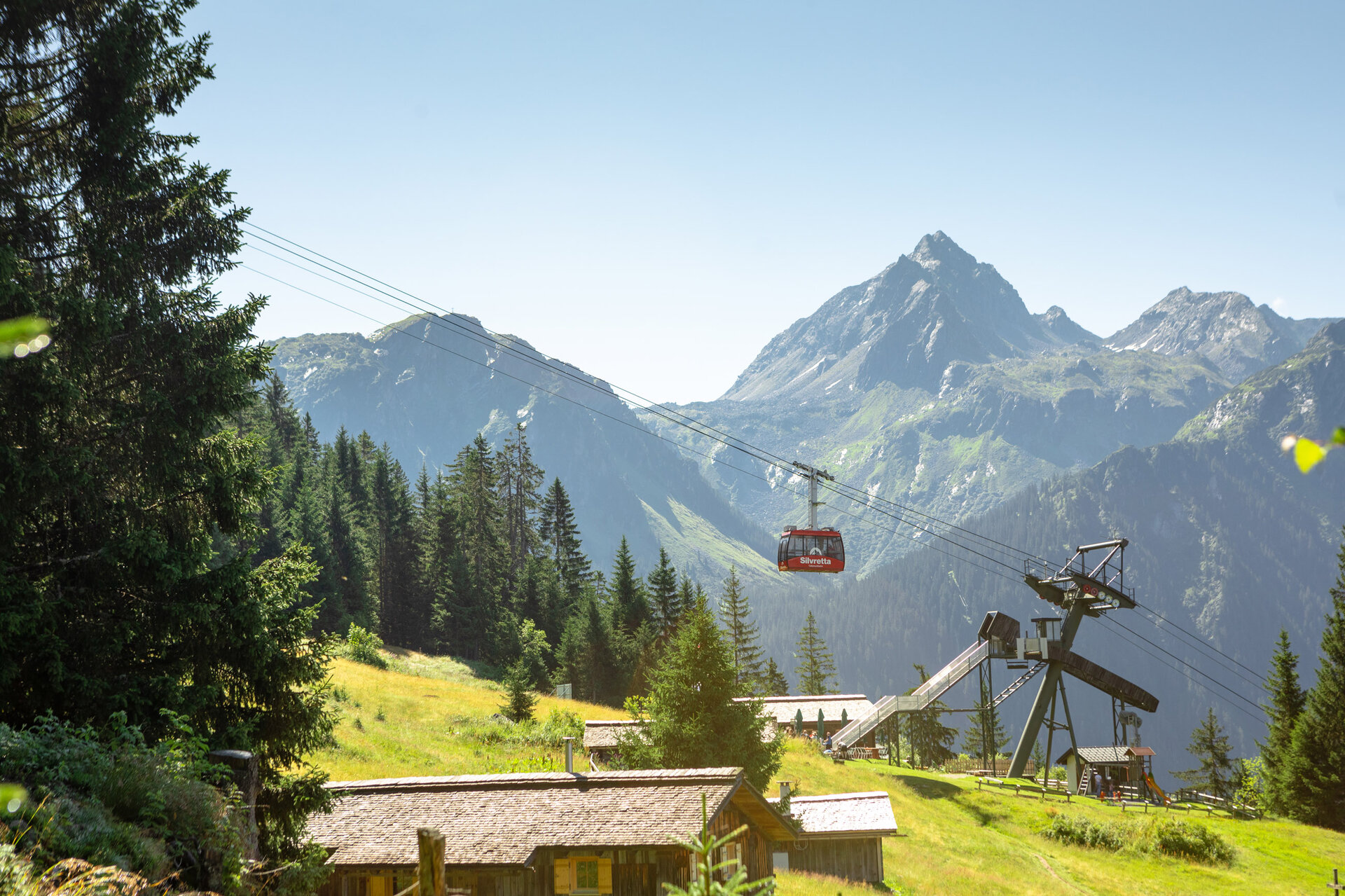
Experience a varied round-trip through the mountain landscapes of the Verwall and Silvretta. With the combo ticket, you can combine the Tafamuntbahn and Vermuntbahn—including the tunnel bus—for an unforgettable experience.

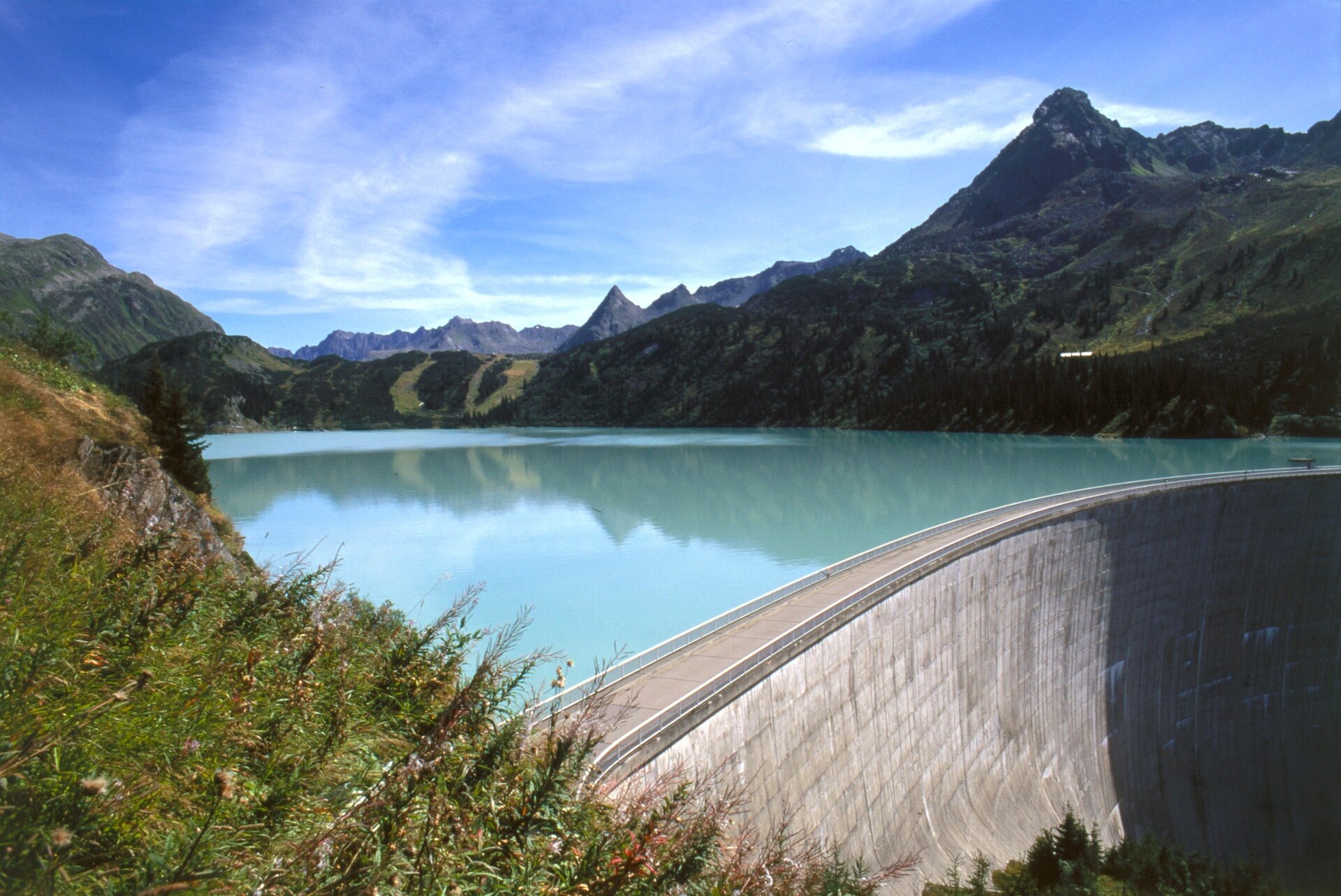
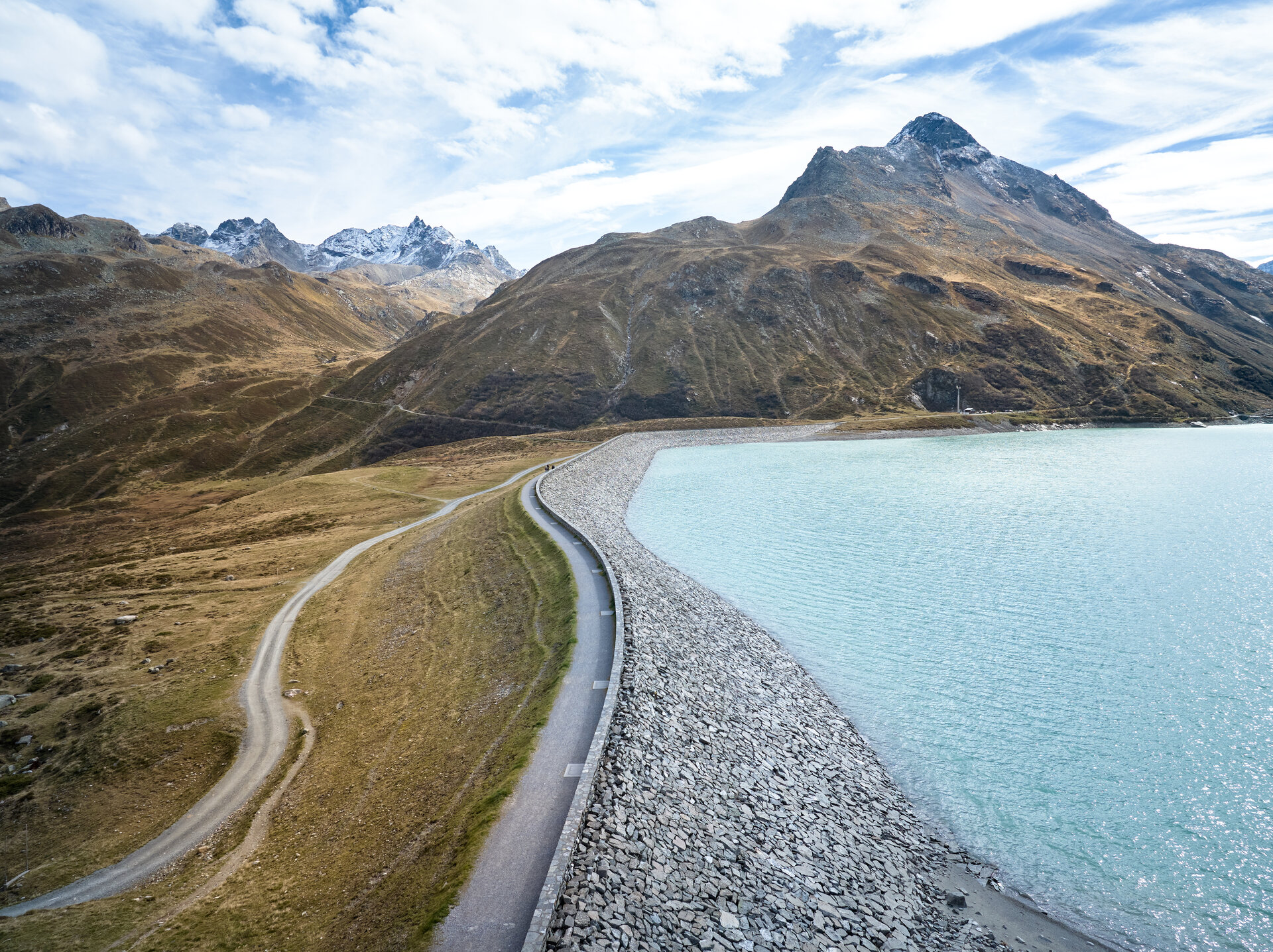
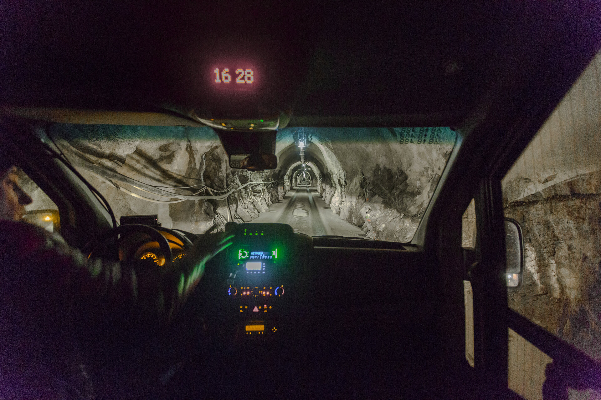
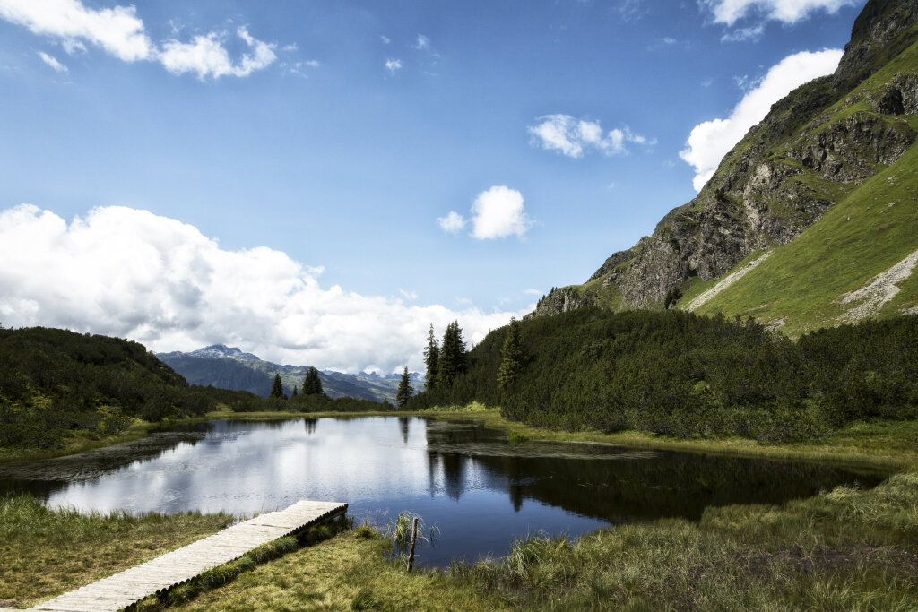
The tour starts in Partenen and begins with a ride up the Tafamuntbahn. From there, you’ll hike through the high moor landscape of Lake Wiegensee to Lake Kopssee/Zeinisjoch. You’ll then take the Landbus Line 260 for a comfortable ride up to the Silvretta-Bielerhöhe. Along the way, you’ll find a wide variety of places to stop and take a break. The return trip down to the valley takes you back to Partenen via the Tunnelbus and the Vermuntbahn.

The Verwall-Silvretta Panorama Loop can also be hiked in the opposite direction: Vermuntbahn – Silvretta-Bielerhöhe – Kops – Tafamuntbahn – Partenen.

Plan a full day for the entire Panorama Loop and check the current schedules for the mountain railways and the local bus. For the approximately 8.1-kilometer hiking trail between the Tafamuntbahn mountain station and the Kops Reservoir, you should allow about four hours. Along the route, you’ll find various places to stop for refreshments, inviting you to take a pleasant break.

Option I: Starting Point - Directions - End Point

Starting Point
Partenen, Tafamuntbahn valley station

Directions
First, take the Tafamuntbahn cable car for a comfortable ride up to the mountain station. From there, hike through the impressive high moor landscape surrounding Lake Wiegensee to Verbella Alpe. At the alp, turn onto the hiking trail toward Zeinisjoch. You’ll reach the bus stop at Gasthof Zeinisjoch. Take the regional bus, Line 260, to continue on to Silvretta-Bielerhöhe. Bus stop for the Kops–Silvretta-Bielerhöhe route: Kops Gh Zeinisjoch–Bielerhöhe Silvrettasee / Line 260 / Schedule: PVU
From Silvrettasee, you can then take the tunnel bus and the Vermuntbahn back down to the valley.

End Point
Partenen, Vermuntbahn valley station

Option II: Starting Point - Directions - End Point

Starting Point
Partenen, Vermuntbahn Valley Station

Directions
The tour begins in Partenen with the ascent on the Vermuntbahn. From there, the tunnel bus takes you through the mountain to Lake Silvretta. There, you’ll transfer to the local bus, Line 260, heading toward Kops or Gasthof Zeinissee. Bus stop for the Silvretta-Bielerhöhe–Kops route: Bielerhöhe Silvrettasee– Kops Gh Zeinisjoch / Line 260 / Schedule: PVU

From Zeinisjoch near Gasthof Zeinissee, hike along the trail to Verbella Alpe. At the alp, turn off toward Wiegensee. The trail takes you through the unique high-moor landscape around Lake Wiegensee and on to the upper station of the Tafamuntbahn. From there, you can easily take the Tafamuntbahn back down to the valley.

End Point
Partenen, Tafamuntbahn valley station

Getting to the starting point

The starting point is the valley station of the Tafamuntbahn or Vermuntbahn in Partenen

By public transportation

With the Landbus Montafon and the Montafonerbahn, you can get around the valley comfortably and flexibly. The train and bus connect the towns regularly, every half hour or every hour depending on the route. You can find suitable connections at www.vmobil.at. Bus stop for the start and end of this tour: Partenen Bergbahnen.

By car

Take the A14 to the Bludenz/Montafon exit. Then follow the Montafonerstraße L188 to Partenen. Parking is available at the Vermuntbahn and Tafamuntbahn stations

Important Information

The combo ticket is available at the ticket offices of the Tafamunt and Vermuntbahnen. Please note: The ticket for the Paznaun summer bus (Route 260 Kops-Bielerhöhe) is not included in the combo ticket.

Note on Tour Information
The tour details provided regarding the route and elevation gain refer exclusively to the hike between the Tafamuntbahn mountain station and the Kops Reservoir. The total duration listed is based on a hiking time of approximately four hours, plus the travel times for the mountain railways, the tunnel bus, and the local bus. It does not include any potential waiting or transfer times.

Tips

Along the route, there are several places to stop for refreshments at the Tafamunt mountain station, at the Kops Reservoir, and on the Silvretta-Bielerhöhe.

Sicherheitstipps für Wandern in Vorarlberg

EN NOTRUF:

EN 140 - Alpine Notfälle österreichweit 

EN 144 - Alpine Notfälle Vorarlberg 

EN 112 - Euro-Notruf (funktioniert mit jedem Handy/Netz) 

Properties
Route type Hiking, Bergbahnauf-/-abstieg, Refreshment stops, Round trip
Difficulty Moderate
Start Tafamuntbahn
Finish Vermuntbahn
Elevation profile
Best months
Jan
Feb
Mar
Apr
May
Jun
Jul
Aug
Sep
Oct
Nov
Dec