Montafon Valley Route ​|​ From St​.​ Anton im Montafon to Schruns

Moderate
Alpenmosaik - Tal
Hiking · Alpine mosaic – valley · Alpine mosaic
02:50 h duration
7,97 km Length in km
992 m Highest point
631 m Lowest point
519 m gain Ascent
461 m gain Descent
Stamina
Skill
Difficulty
Adventure
Scenery

Tour description

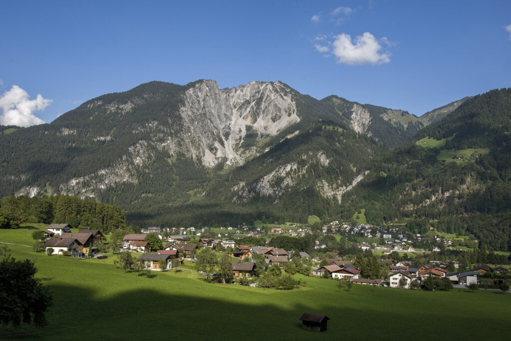
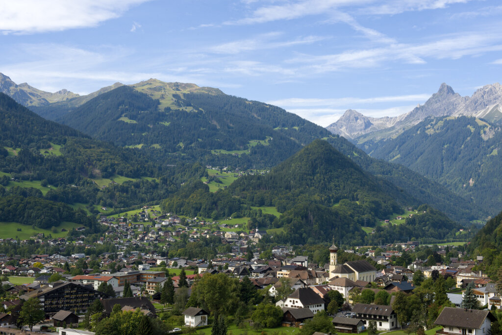
The Montafon Valley Trail shows you what makes the valley—with its villages, scattered settlements, and cultivated land—such a unique habitat, connecting scenic trails on the Bartholomäberg with the center of Schruns.

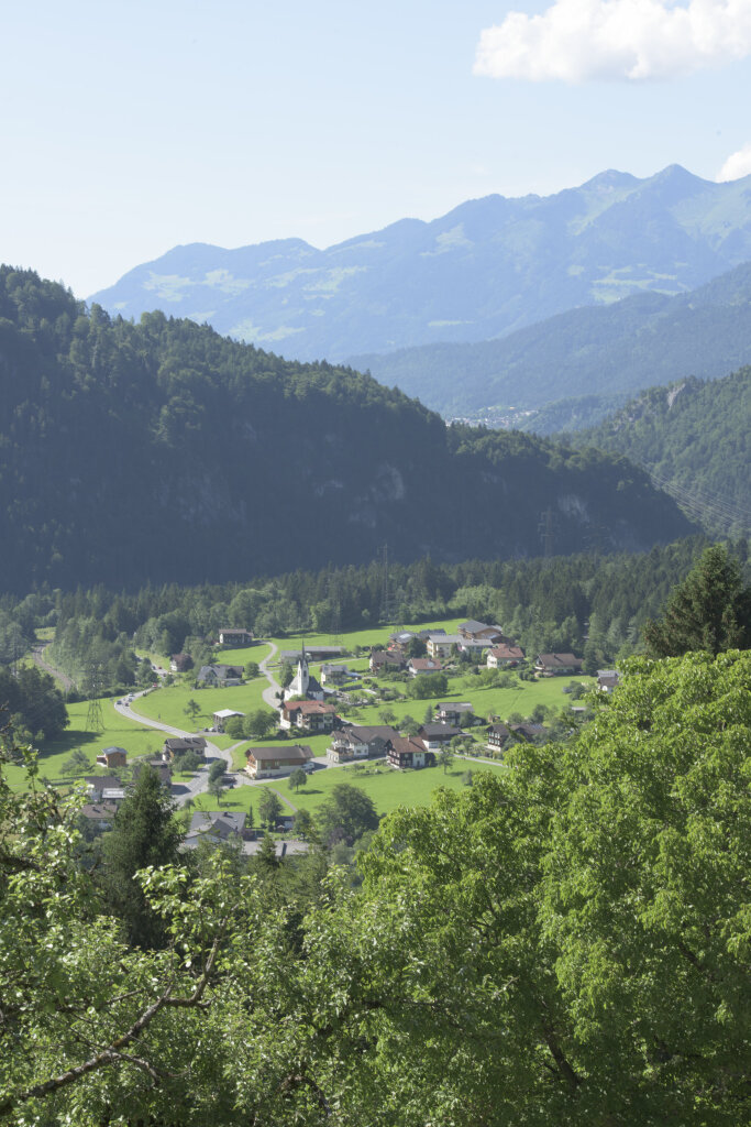
The Montafon Valley Trail takes you through a diverse cultural landscape where villages, scattered houses, meadows, and farmland blend together. Along the way, you’ll see how people have shaped and transformed the valley over generations.

From the slopes of the Bartholomäberg, beautiful views of the Montafon open up time and again. Alternating stretches of forest and meadows keep the scenery varied before the tour finally leads to Schruns.

What is the Montafon Alpine Mosaic?

The Alpenmosaik Montafon brings the region’s scenic diversity to life. The four exploration areas—Verwall, Silvretta, Rätikon, and the valley—offer different perspectives on nature, the landscape, and culture.

You can find more information about the Montafon Alpine Mosaic HERE.

Starting Point - Directions - End Point

Starting point
St. Anton im Montafon, Via Ferrata Parking Lot L188

Directions
From the hiking parking lot in St. Anton im Montafon, the trail first leads you steeply uphill along the ridge of the Bartholomäberg. After the ascent, the trail continues along varied paths through forests and meadows.

Along the way, you’ll be treated to beautiful views of the valley and the surrounding mountains time and again. The trail now winds its way across the Bartholomäberg toward Schruns, with alternating ascents and descents.

As you get closer to Schruns, the trail leads you back down into the valley and finally into the center of Schruns.

End Point
Schruns Center.

Getting to the Starting Point

Getting to the Starting Point
The starting point for the tour is the via ferrata parking lot on the L188 in St. Anton im Montafon.

By public transportation:
The Montafon Landbus and the Montafonerbahn offer a convenient and flexible way to get around the valley. Trains and buses run regularly between the towns, either every half hour or every hour, depending on the route. You can find the right connection HERE. Bus stop at the start of this tour: St. Anton im Montafon Train Station / Bus stop at the finish: Schruns Train Station

By car:
Take the A14 to the Bludenz/Montafon exit, then follow the Montafoner Straße (L188) to St. Anton im Montafon. The via ferrata parking lot is located directly on the L188.

Important Information

For this hike, we recommend sturdy shoes with good traction and weather-appropriate clothing. The tour is currently classified as a moderate hike.

Tips

As you walk, take some time to enjoy the views of the valley and the surrounding mountains. It’s the varied stretches of forest and meadows in particular that make this trail such a beautiful link between the two towns.

Sicherheitstipps für Wandern in Vorarlberg

EN NOTRUF:

EN 140 - Alpine Notfälle österreichweit 

EN 144 - Alpine Notfälle Vorarlberg 

EN 112 - Euro-Notruf (funktioniert mit jedem Handy/Netz) 

Properties
Route type Hiking, Alpine mosaic – valley, Alpine mosaic
Difficulty Moderate
Start Klettersteigparkplatz St. Anton im Montafon
Finish Schruns
Elevation profile
Best months
Jan
Feb
Mar
Apr
May
Jun
Jul
Aug
Sep
Oct
Nov
Dec