Gaglaweg Bartholomäberg

Moderate
Gaglawege
Rundtour
Themenweg · Hiking · Gaglawege (children hikes) · Round trip · Bartholomäberg
03:30 h duration
7,10 km Length in km
1495 m Highest point
1086 m Lowest point
449 m gain Ascent
449 m gain Descent
Stamina
Skill
Difficulty
Adventure
Scenery

Tour description

Join Erna as she traces the history of early settlement on Bartholomäberg and, along the way, solve the mystery of a lost treasure.

Bartholomäberg has a history of settlement dating back more than 5,000 years and is considered the cradle of the Montafon. Protected from flooding and blessed with sunny slopes and ideal conditions for alpine farming and pasture management, people found a suitable habitat here as early as prehistoric times. Its convenient location and valuable mineral deposits, such as silver, also contributed to its early settlement.

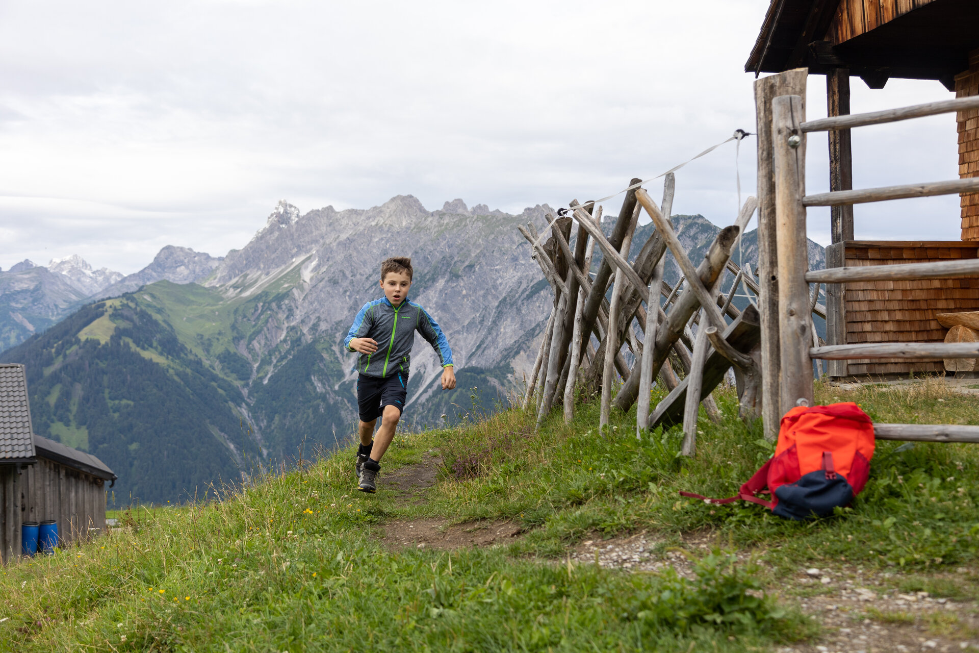
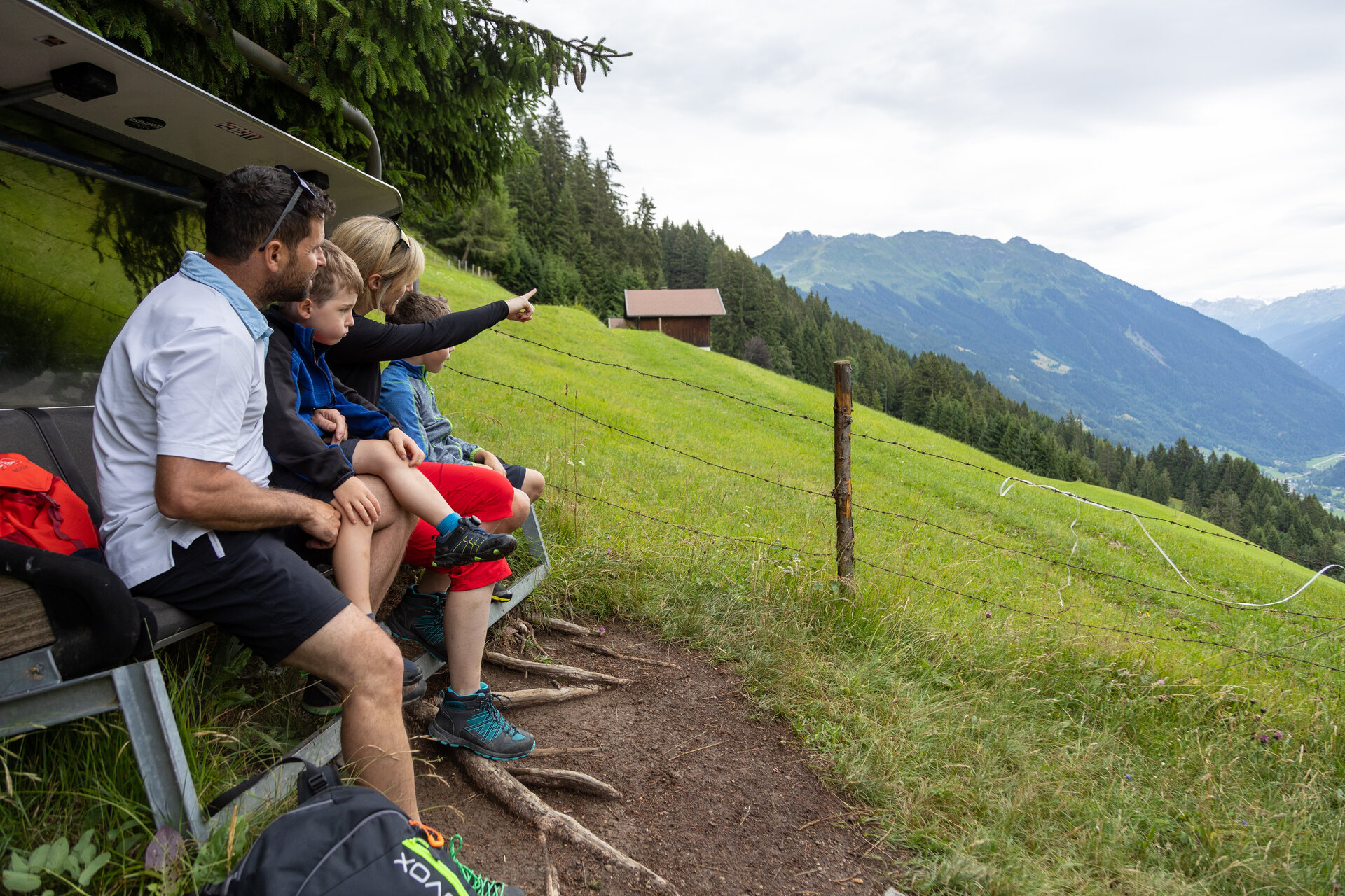
On the Gaglaweg trail, you’ll join Erna Sucha on a search for a lost treasure. Along the way, you’ll discover historic sites, hike past the historic mine, and enjoy sweeping views of the valley and the surrounding mountains around Rellseck.

What is a Muntafuner Gaglaweg?

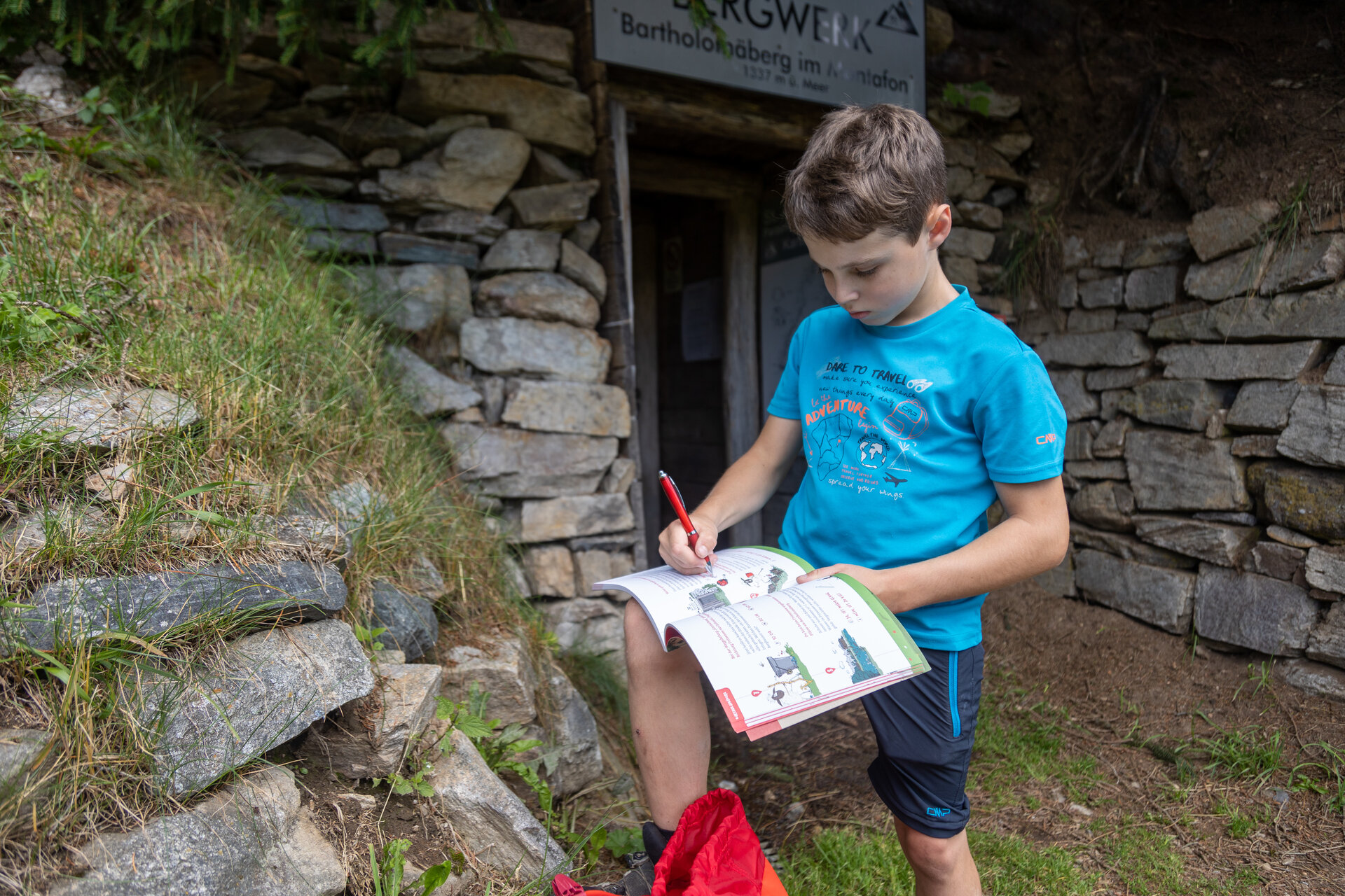
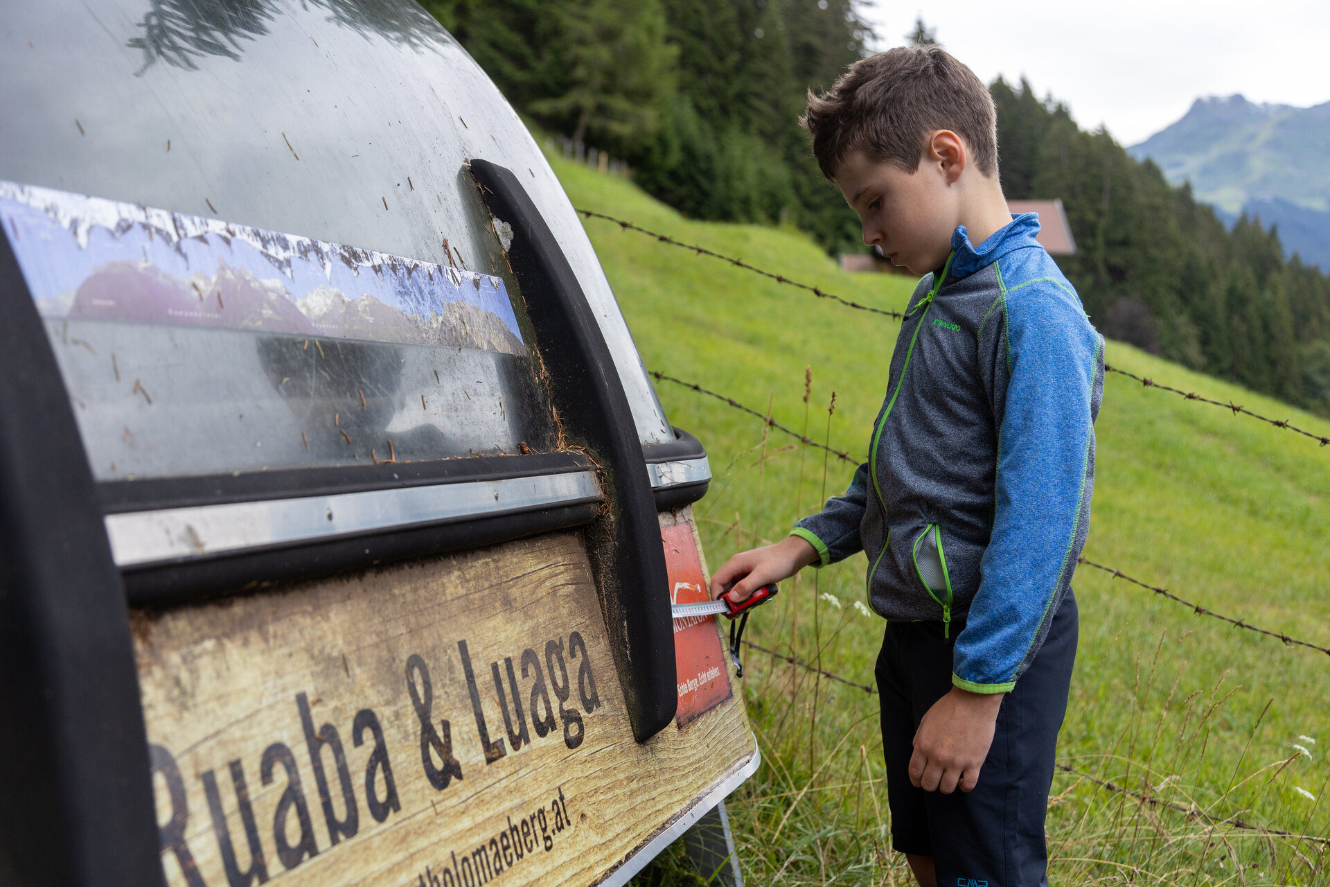
In the Montafon dialect, “Muntafuner Gaglaweg” means something like “Montafon Children’s Trail.” For your adventure, you’ll need the Gaglaweg backpack. You can rent one for a deposit at one of our tourist information offices or citizen service centers. Inside, you’ll find everything you need for your hike.
A unique puzzle awaits you on every Gaglaweg trail. Once you’ve solved it, you’ll receive a small gift. You can also purchase one of eleven Erna souvenir jars at a special price of €4.00. Each trail is dedicated to a different theme and takes you through the diverse landscape of the Montafon.
So: Grab your backpack, join Erna, and set off on a journey of discovery together.
You can find more information about our Muntafun Gagla Trails HERE.

Starting Point - Directions - End Point

Starting Point
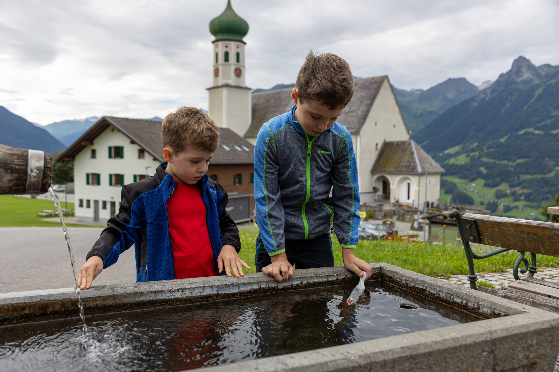
Bartholomäberg Baroque Church

Directions
From the Baroque Church in Bartholomäberg, hike uphill, passing the Bärger Lädili. Follow the road up the Lindaweg. After the path makes a distinctive S-curve, leave it at the second curve and turn onto a dirt path.

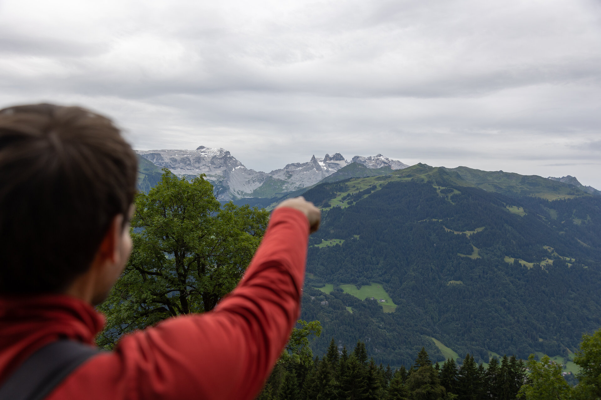
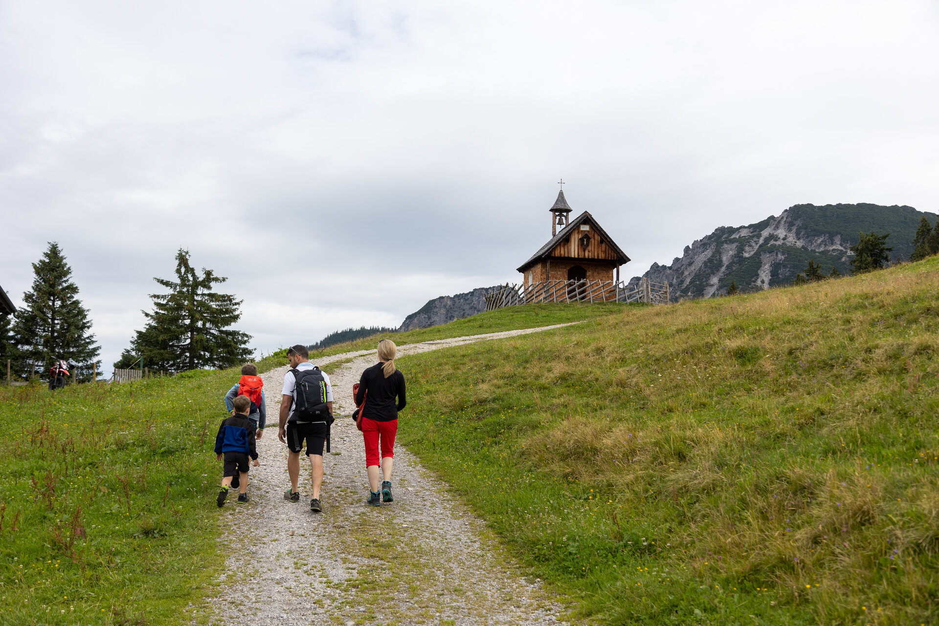
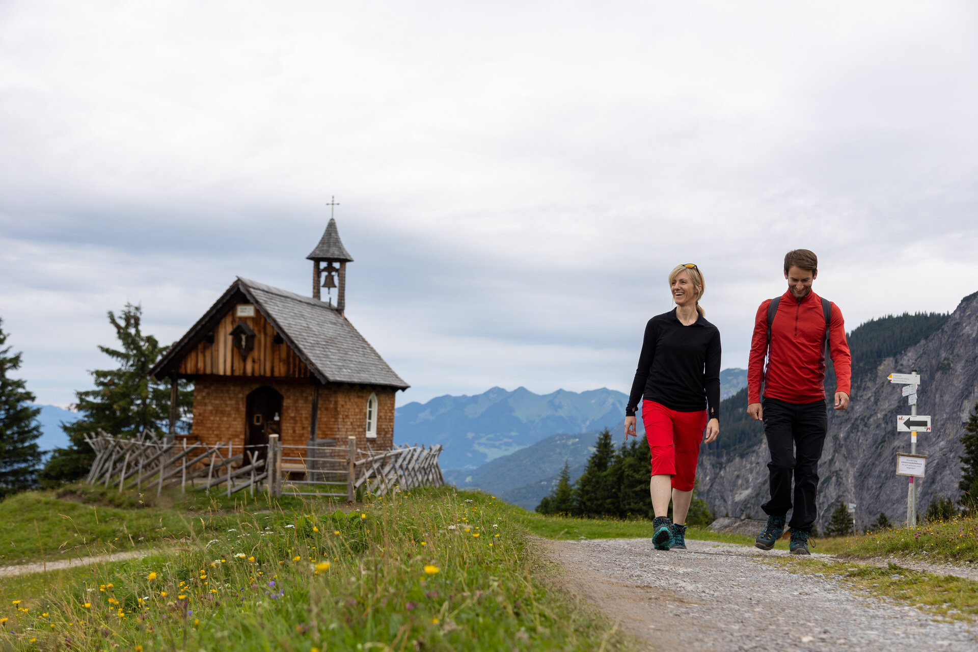
Passing through “Neyers-Legi,” you’ll reach Rellseck. At the chapel, a sweeping view of the valley and the surrounding mountains opens up before you. You’ll then hike past the Alpengasthof Rellseck and follow the road back toward Bartholomäberg. In the “Goritschang” area, the trail to Fritzensee branches off to the left.

At the start of the natural pond, keep to the right and hike downhill to the historic mine at 1,337 meters above sea level. From there, continue following the trail down into the valley. Cross the Roferweg and continue for a short distance on the paved path. At the end of this section, switch back onto a trail that leads you further downhill.

Shortly thereafter, you’ll reach the Obwaldweg. Follow it downhill for just under 100 meters, then turn right onto another trail. This trail leads you back to the Roferweg. From there, hike back downhill to the Baroque church in Bartholomäberg.

End Point
Bartholomäberg Baroque Church

Getting to the starting point

Getting to the Starting Point
The starting point for the tour is the Baroque church in Bartholomäberg

By public transportation:
With the Montafon regional bus and the Montafonerbahn, you can get around the valley comfortably and flexibly. Trains and buses run regularly between the towns, every half hour or every hour depending on the route. You can find the right connection for you HERE. Bus stop at the start/end of this tour: Bartholomäberg Church

By car:
Take the A14 to the Bludenz/Montafon exit. Then follow the Montafoner Straße L188 to St. Anton im Montafon. At the train station, turn left and follow the road to Bartholomäberg. Paid parking is available right next to the Baroque church in Bartholomäberg.

Sicherheitstipps für Wandern in Vorarlberg

EN NOTRUF:

EN 140 - Alpine Notfälle österreichweit 

EN 144 - Alpine Notfälle Vorarlberg 

EN 112 - Euro-Notruf (funktioniert mit jedem Handy/Netz) 

Properties
Route type Themenweg, Hiking, Gaglawege (children hikes), Round trip
Difficulty Moderate
Start Barockkirche Bartholomäberg
Finish Barockkirche Bartholomäberg
Elevation profile
Best months
Jan
Feb
Mar
Apr
May
Jun
Jul
Aug
Sep
Oct
Nov
Dec