Starting Point
The Schafbergbahn valley station at the starting point of the Alpenmosaik Montafon
Directions
From the Schafbergbahn valley station, hike into the valley toward the Vergalda district. Cross the road and, before the Vergaldner Bridge, follow the trail on the right side of the road. This trail leads you into the forest, running parallel to the road on the left side of the stream.
After about 100 meters, you’ll reach a small wooden hut. Behind it is a narrow bridge over the Valzifenzbach. Immediately after the bridge, you’ll reach the historic lime kiln. From there, the trail leads uphill, across the road, and continues through the forest until you come to a wider path. Keep to the right and cross the bridge toward Gitziste.
Follow the path, cross a small stream, and continue hiking to Schwefeltobel. After crossing it, walk about 200 meters along the forest road toward Rüti. Then, a narrow, somewhat hidden path branches off to the right. This path leads you downhill through the forest, past two scenic spots, to Alptobel.
Cross the bridge and keep to the left toward Rüti. In a series of switchbacks, you’ll ascend through the forest and over the first limestone sections to the Rüti-Maisäß with its old barn. Here, you’ve already covered most of the elevation gain.
Now you’ll hike through the alpine landscape of Rüti toward Ronggalpe. On your left, you’ll catch a view of the geological “Gargellner Fenster.” The trail then leads you downhill through the forest in several switchbacks and continues toward Ronggalpe until you reach the signpost for Gargellen.
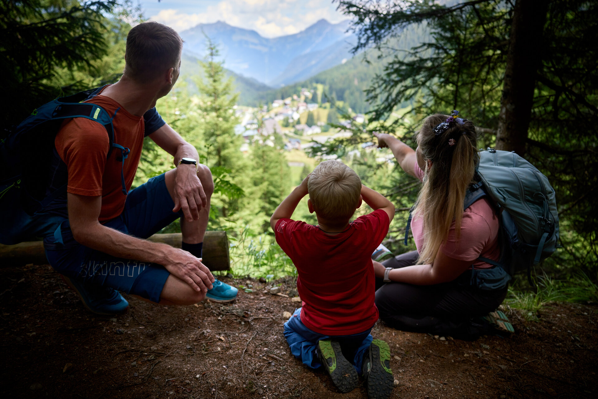
After a few meters through the forest, you’ll enjoy a beautiful view of Gargellen and return to the main road. Follow it briefly into the valley, cross the road, and cross over the Suggadin to the other side of the stream. On the Suggadin Trail, a section of the historic Via Valtellina, you’ll hike back into the valley toward the Schafbergbahn valley station.
End Point
Schafbergbahn valley station at the starting point of the Alpenmosaik Montafon