Gaglaweg St​.​ Gallenkirch

Easy
Gaglawege
Rundtour
Themenweg · Hiking · Gaglawege (children hikes) · Round trip · St. Gallenkirch
02:00 h duration
4,70 km Length in km
955 m Highest point
836 m Lowest point
162 m gain Ascent
162 m gain Descent
Stamina
Difficulty
Adventure
Scenery

Tour description

Join Erna as she explores the rural cultural landscape of St. Gallenkirch, and get to know the hardy Montafon stone sheep amid the pastures, Montafon farmhouses, and the Ill River.

In addition to the Montafon Brown Cattle, the Montafon Stone Sheep is the only breed of animal native to Vorarlberg. These hardy animals cope well with changeable mountain weather and limited forage, and can be recognized by their glossy coats. In St. Gallenkirch, lush pastures border directly on residential homes, highlighting just how closely agriculture and village life are intertwined.

Erna is at home in the meadows around St. Gallenkirch and loves to roam among the traditional Montafon houses. On the Gaglaweg, you’ll accompany her from the town center down to the Ill River, discover the Gäßschärm, and hike back to the village along quiet forest and meadow trails.

What is a Muntafuner Gaglaweg?

In the Montafon dialect, “Muntafuner Gaglaweg” means something like “Montafon Children’s Trail.” For your adventure, you’ll need the Gaglaweg backpack. You can rent one for a deposit at one of our tourist information offices or citizen service centers. Inside, you’ll find everything you need for your hike.
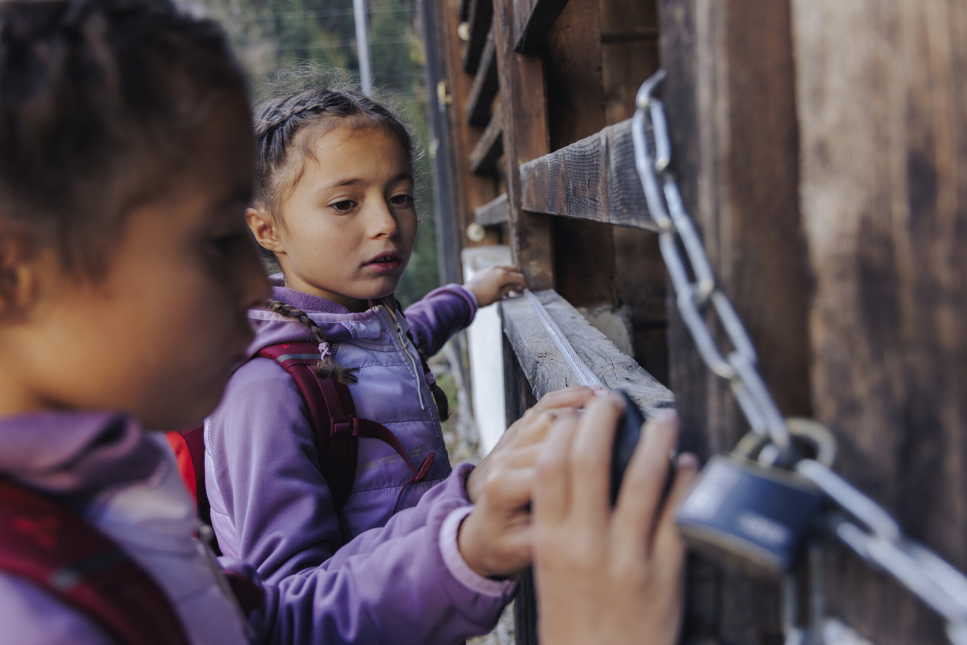
A unique puzzle awaits you on every Gaglaweg trail. Once you’ve solved it, you’ll receive a small gift. You can also purchase one of eleven Erna souvenir jars at a special price of €4.00. Each trail is dedicated to a different theme and takes you through the diverse landscape of the Montafon.
So: Grab your backpack, join Erna, and set off on a journey of discovery together.
You can find more information about our Muntafun Gagla Trails HERE.

Starting Point - Directions - End Point

Starting Point
St. Gallenkirch town center near the municipal office

Directions
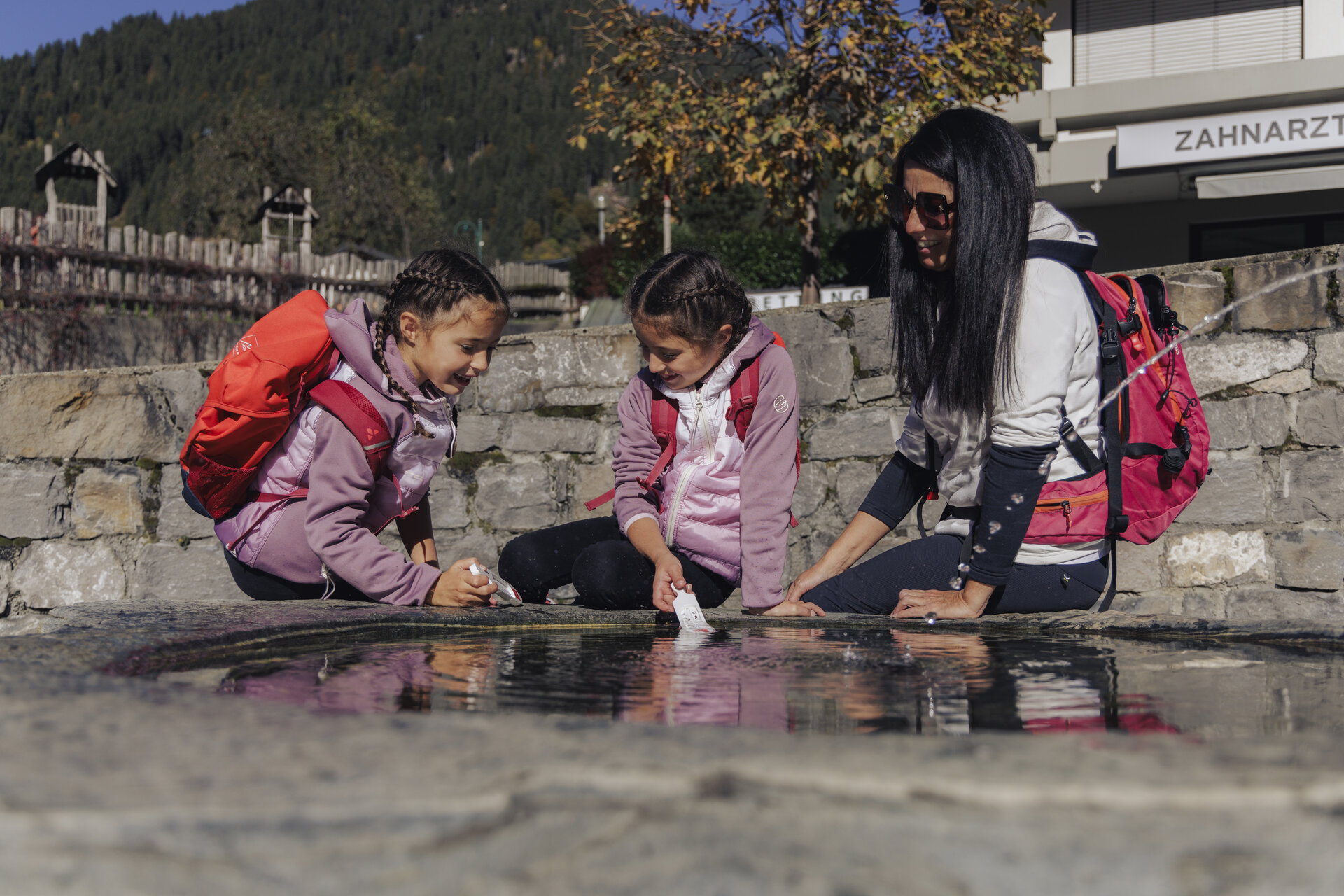
Your hike begins in the town center of St. Gallenkirch. There is a fountain at the bus stop in front of the municipal office. Cross Montafonerstraße and follow the narrow road downhill. Continue down into the valley, cross the bike path, and follow the trail to the Ill River.

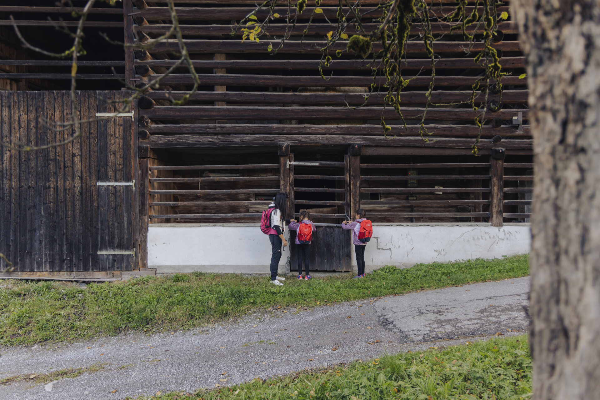
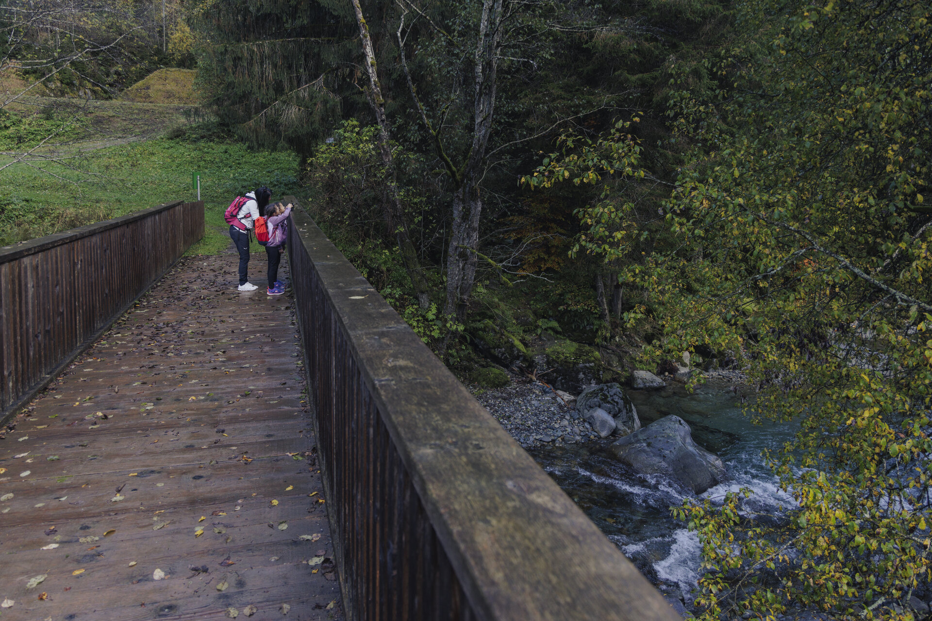
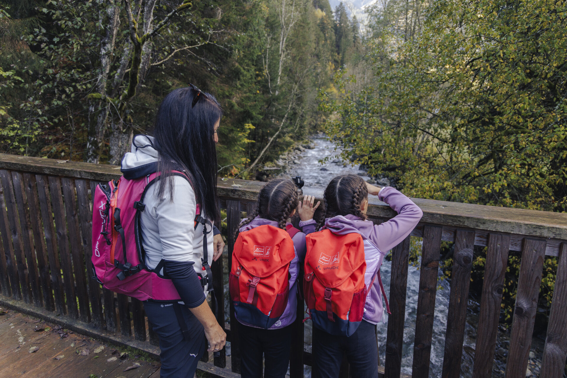
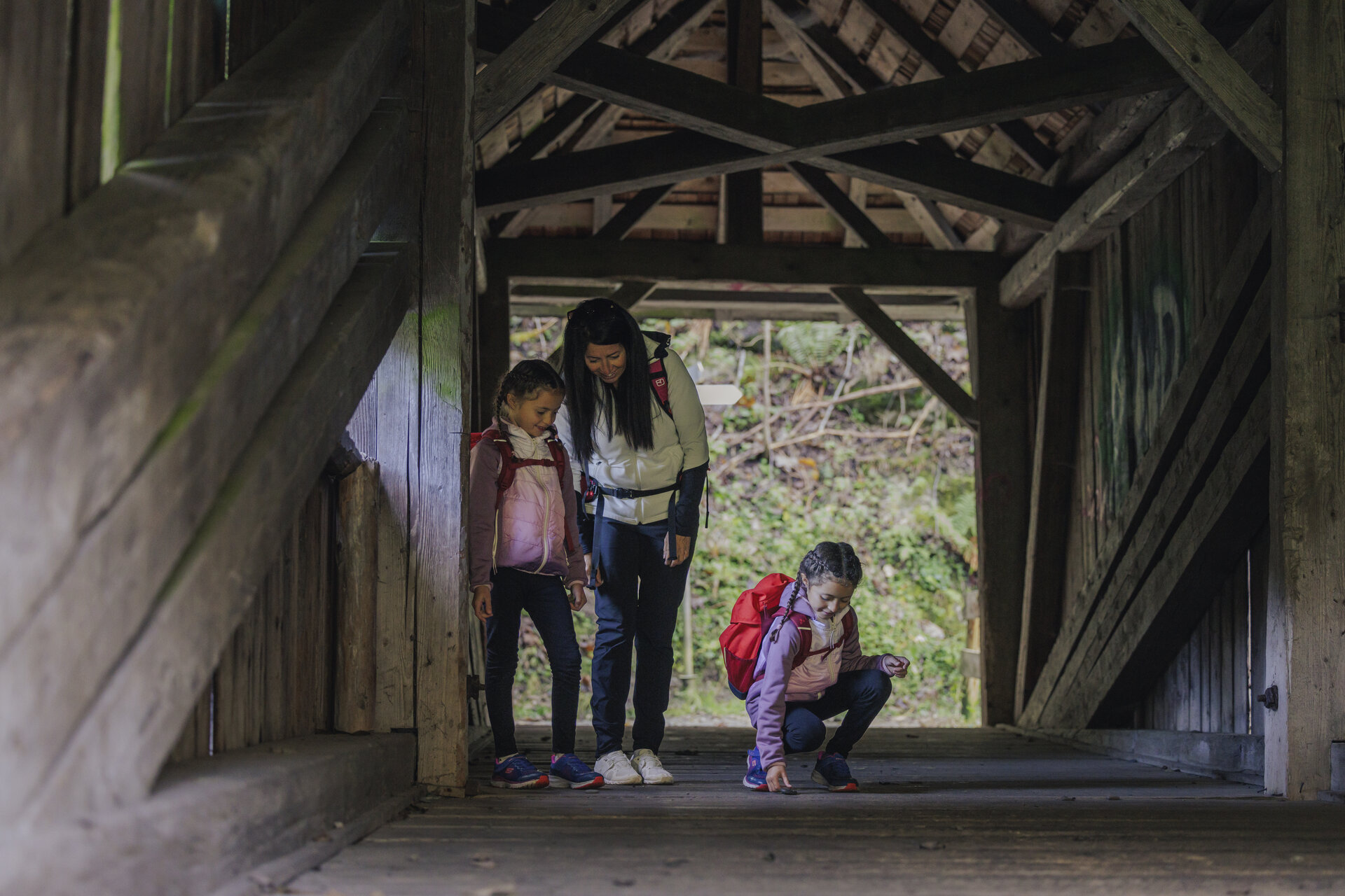
After crossing the wooden bridge, turn left toward the Gäßschärm. You’re welcome to enter the traditional shelters and explore them up close. An idyllic hiking trail then leads you along the right bank of the Ill into the valley toward Gortipohl.

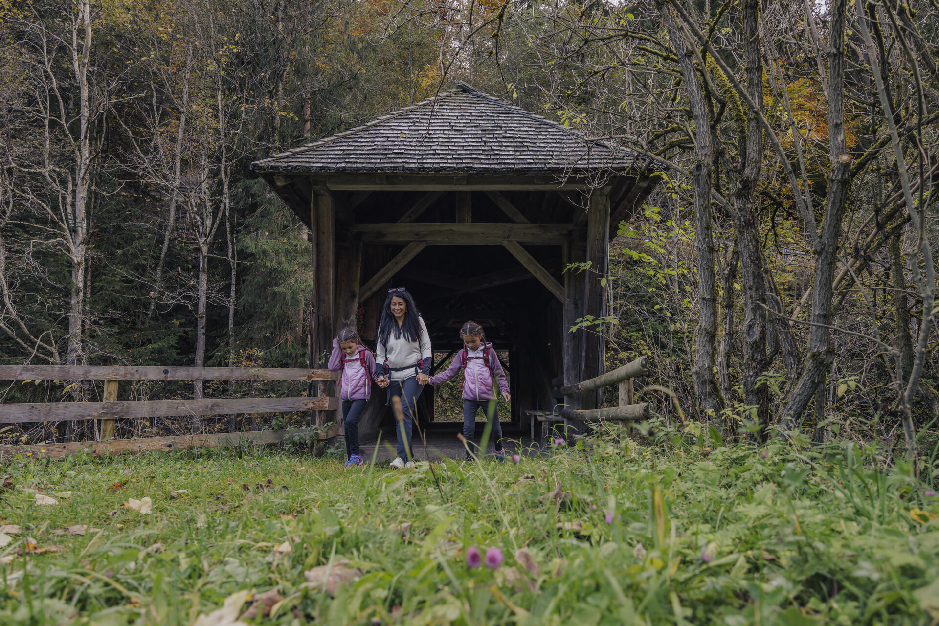
On the opposite side of the river, you’ll see the Garfrescha Railway. Stay on the right side of the river and follow the trail to a covered wooden bridge. Cross the Ill and then hike uphill through the Hüttnertobel.

The trail takes you past the Plague Chapel to the next fork. There, keep left and you’ll reach a scenic stretch above St. Gallenkirch. Now follow the Wiesensee back to the town center.

End Point
St. Gallenkirch town center near the municipal office

Getting to the starting point

Getting to the Starting Point
The starting point for the tour is the town center of St. Gallenkirch

By public transportation:
With the Montafon regional bus and the Montafonerbahn, you can travel comfortably and flexibly throughout the valley. Trains and buses run regularly between the towns, every half hour or every hour depending on the route. You can find the right connection HERE. Bus stop at the start/end of this tour: St. Gallenkirch Center

By car:
Take the A14 to the Bludenz/Montafon exit. Then follow the Montafoner Straße L188 to St. Gallenkirch. Parking is available across from the St. Gallenkirch parish church in the town center.

Sicherheitstipps für Wandern in Vorarlberg

EN NOTRUF:

EN 140 - Alpine Notfälle österreichweit 

EN 144 - Alpine Notfälle Vorarlberg 

EN 112 - Euro-Notruf (funktioniert mit jedem Handy/Netz) 

Properties
Route type Themenweg, Hiking, Gaglawege (children hikes), Round trip
Difficulty Easy
Start Ortszentrum St. Gallenkirch
Finish Ortszentrum St. Gallenkirch
Elevation profile
Best months
Jan
Feb
Mar
Apr
May
Jun
Jul
Aug
Sep
Oct
Nov
Dec