Montafon Valley Trail ​|​ Schruns to St​.​ Gallenkirch

Moderate
Alpenmosaik - Tal
Hiking · Alpine mosaic – valley · Alpine mosaic · Schruns
03:20 h duration
11,0 km Length in km
876 m Highest point
689 m Lowest point
328 m gain Ascent
141 m gain Descent
Stamina
Skill
Difficulty
Adventure
Scenery

Tour description

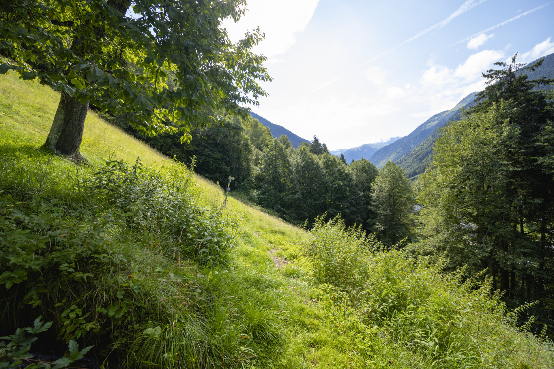
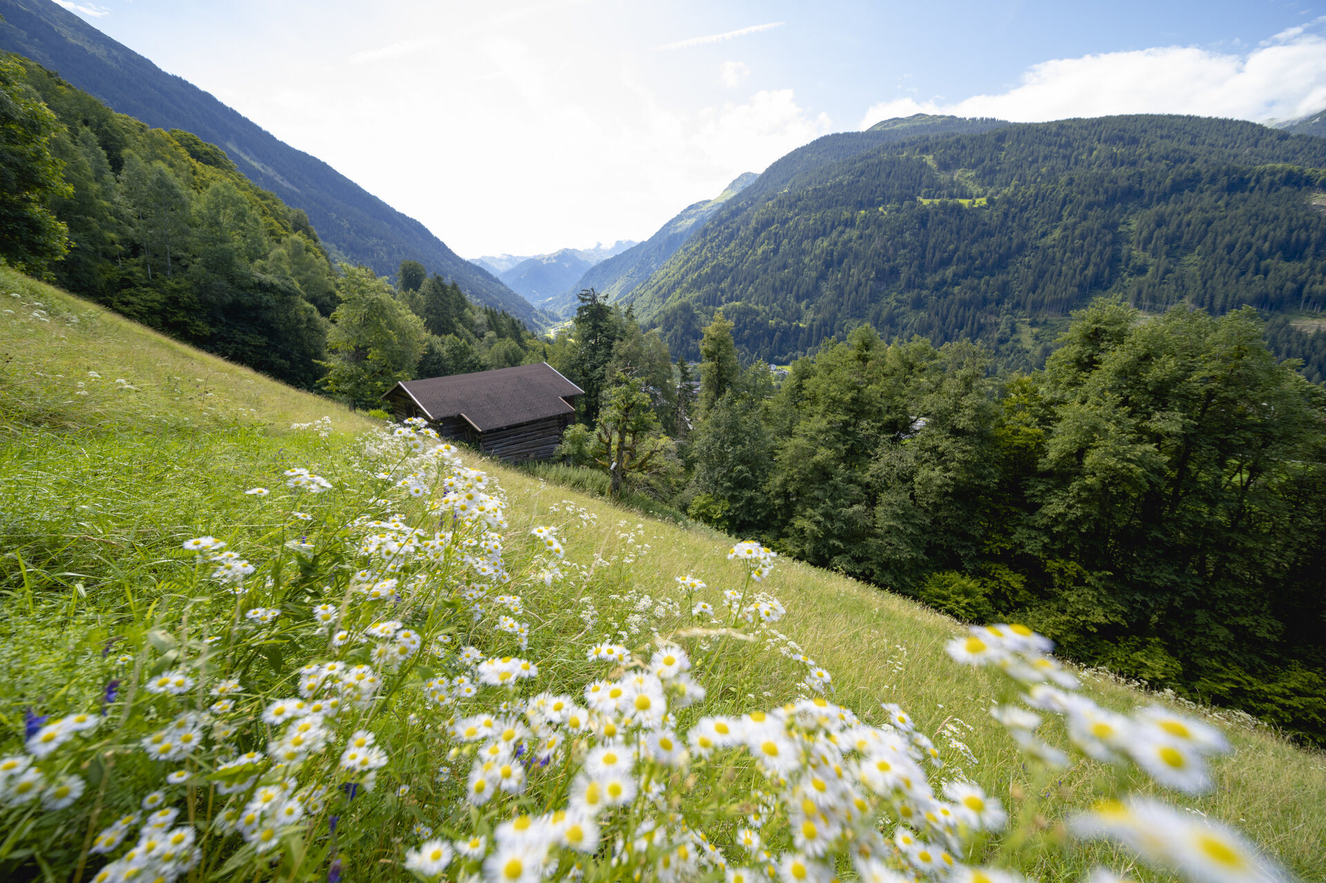
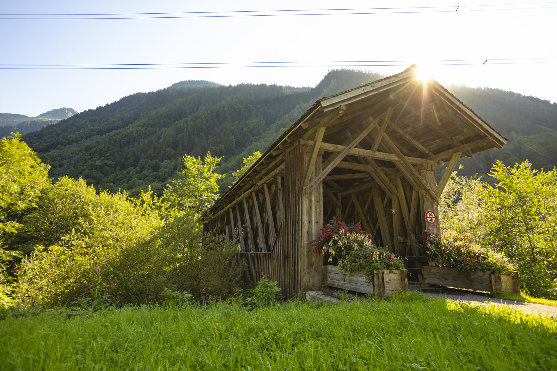
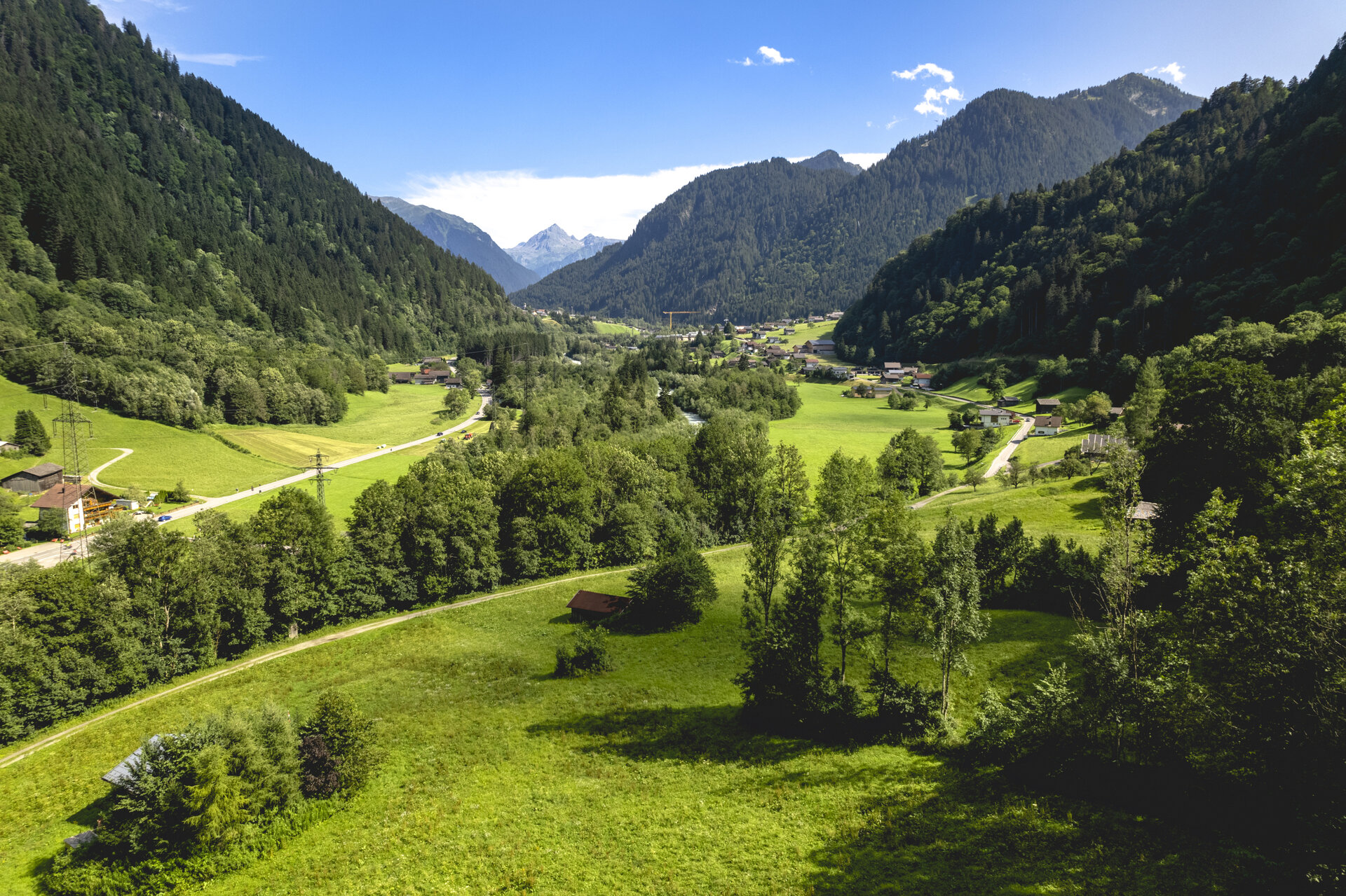
The Talweg trail brings the valley’s natural environment to life and takes you from Schruns across the sunny side of the Montafon and along the Ill River all the way to St. Gallenkirch.

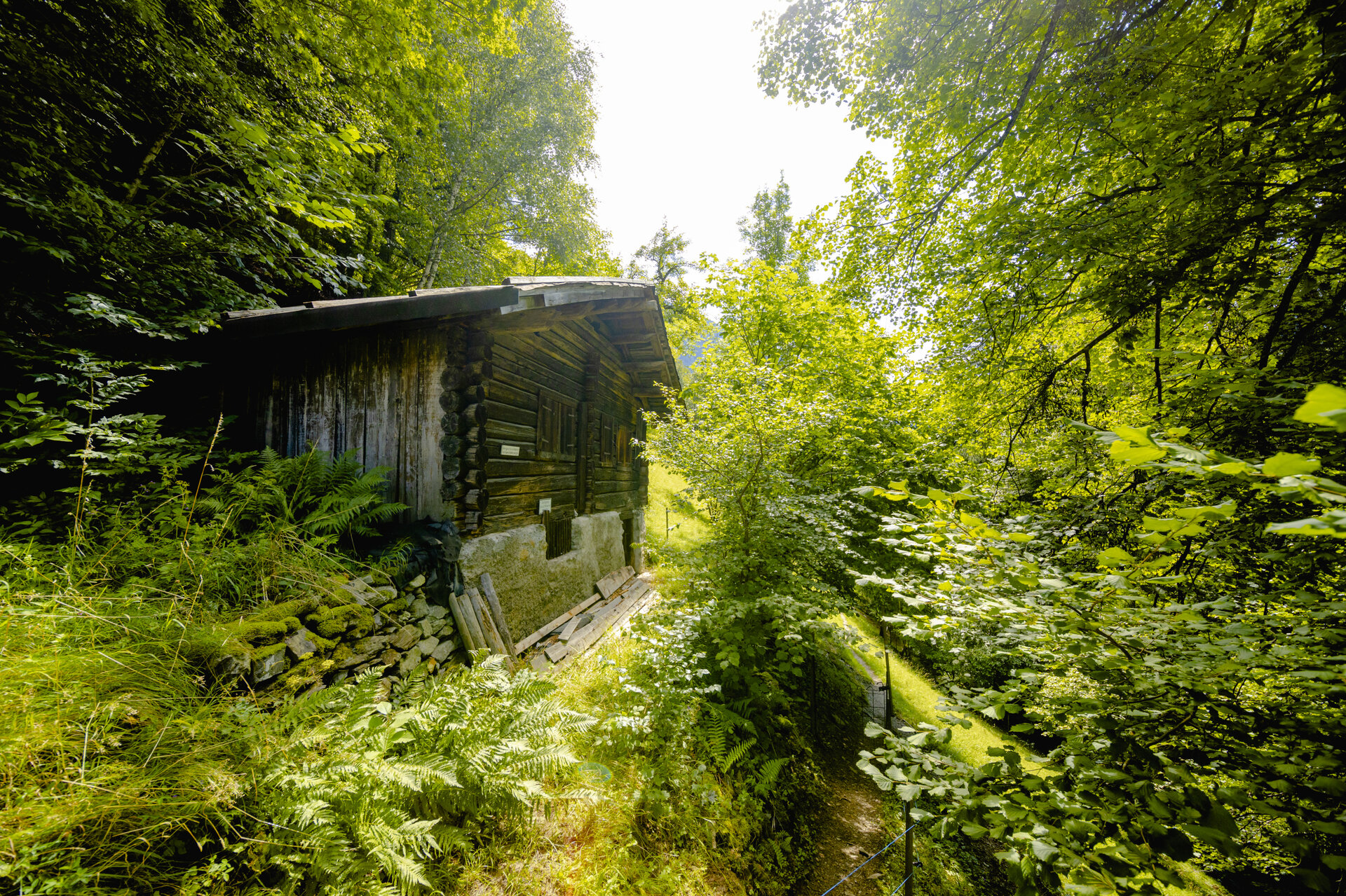
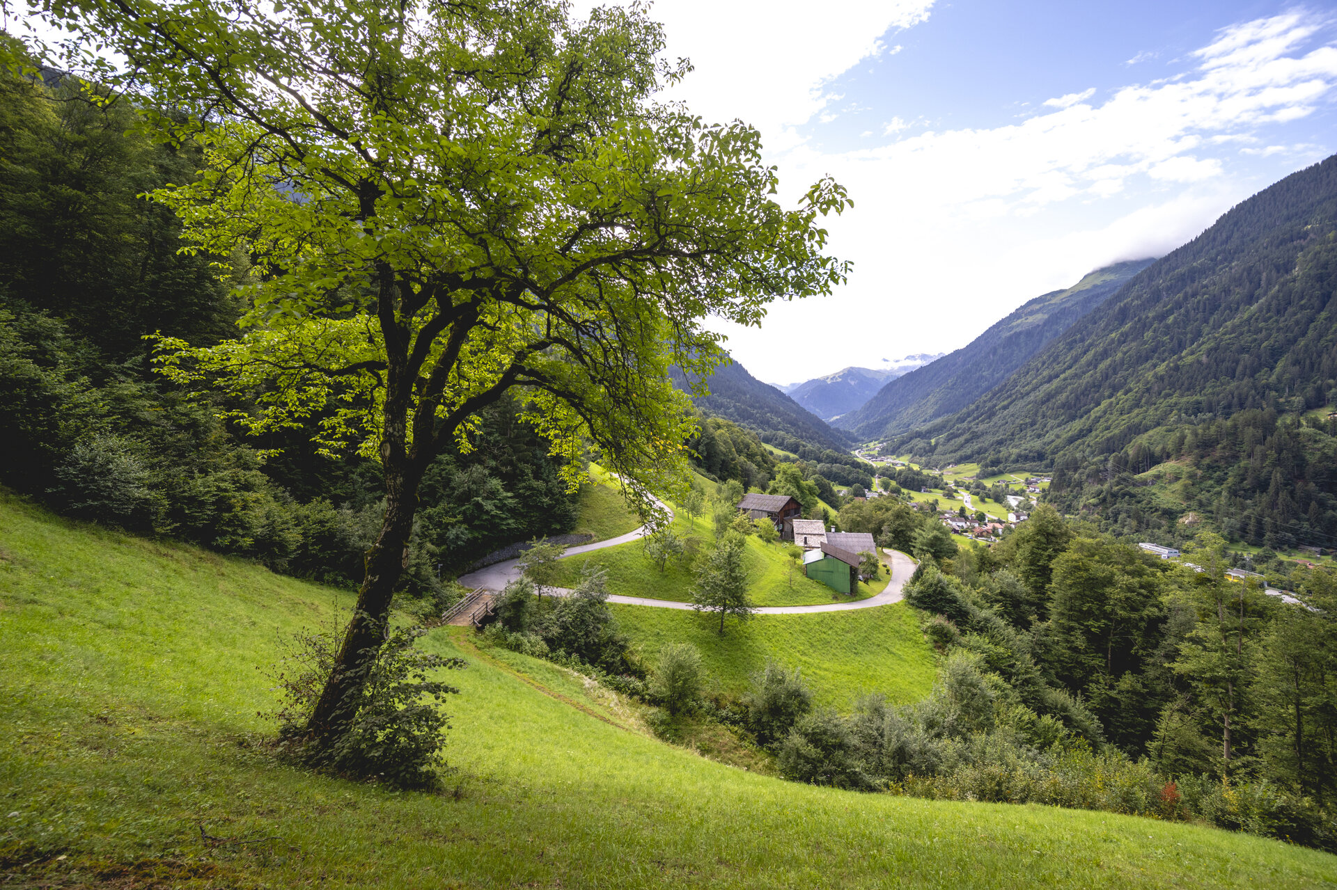
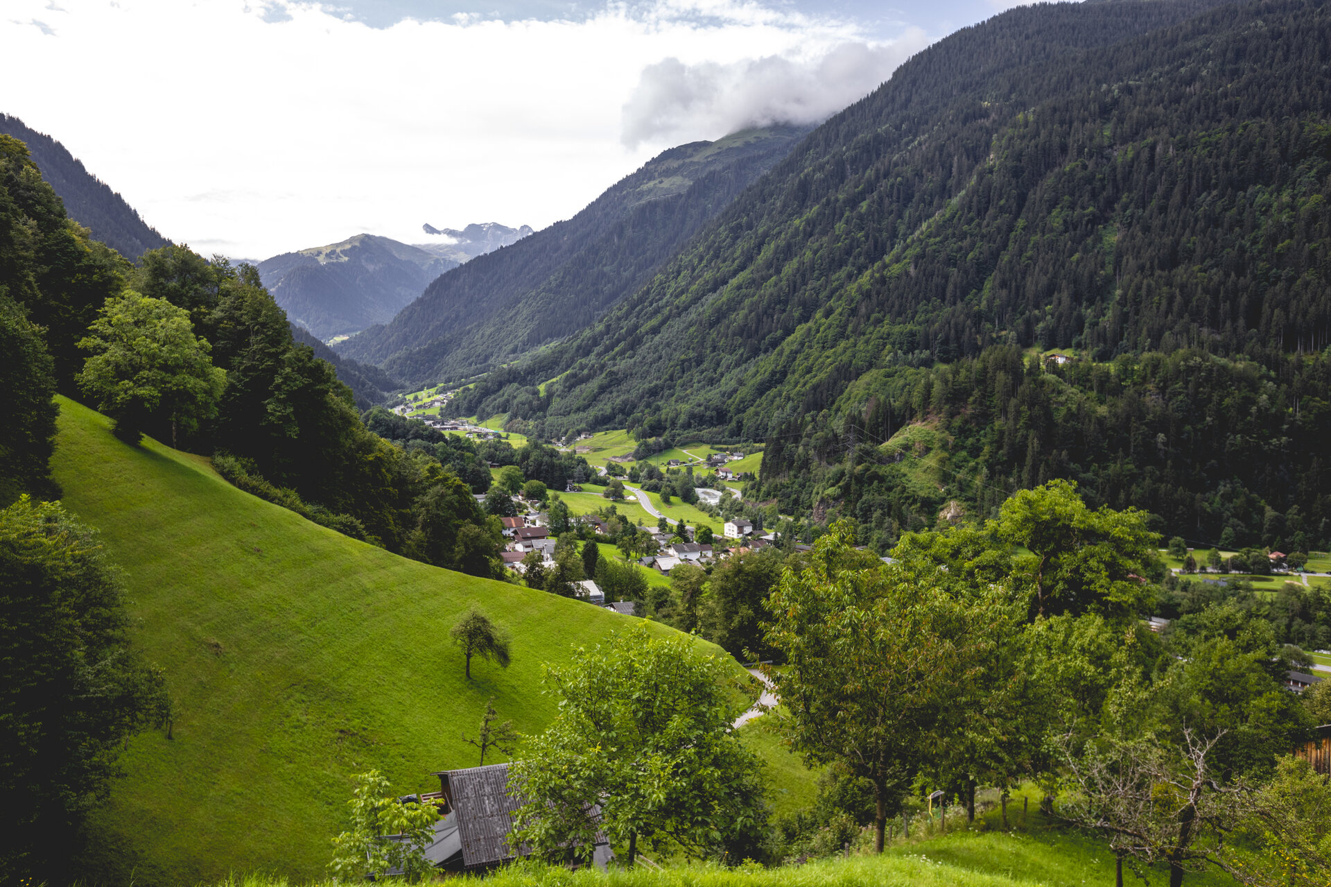
The Montafon Valley Trail brings the valley’s habitat—with its villages, scattered settlements, and agricultural lands—to life. It reveals just how closely the cultural landscape is intertwined with the lives and livelihoods of the people of Montafon.

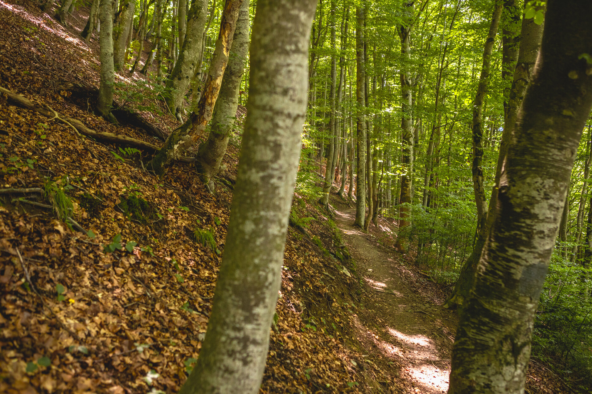
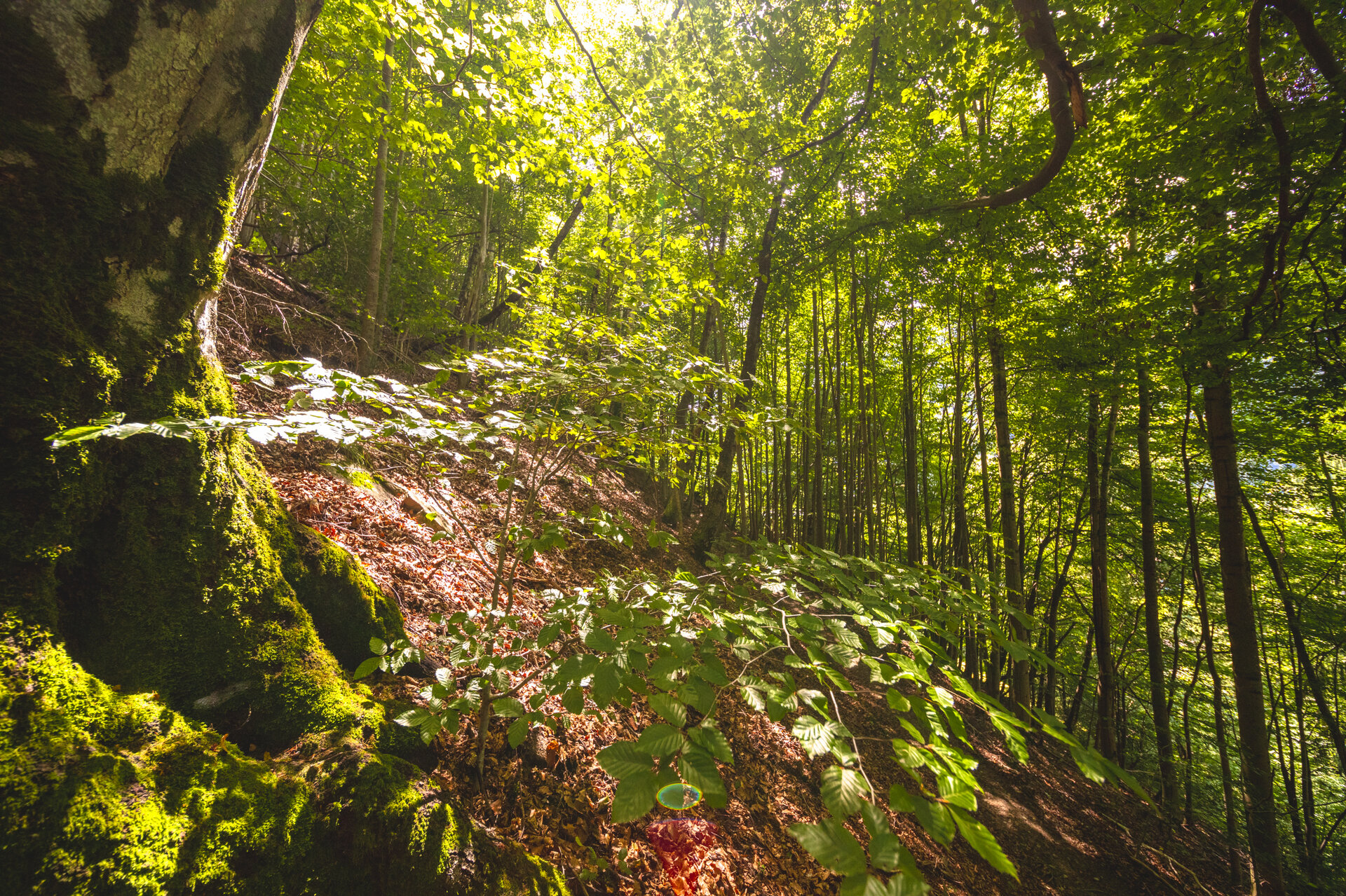
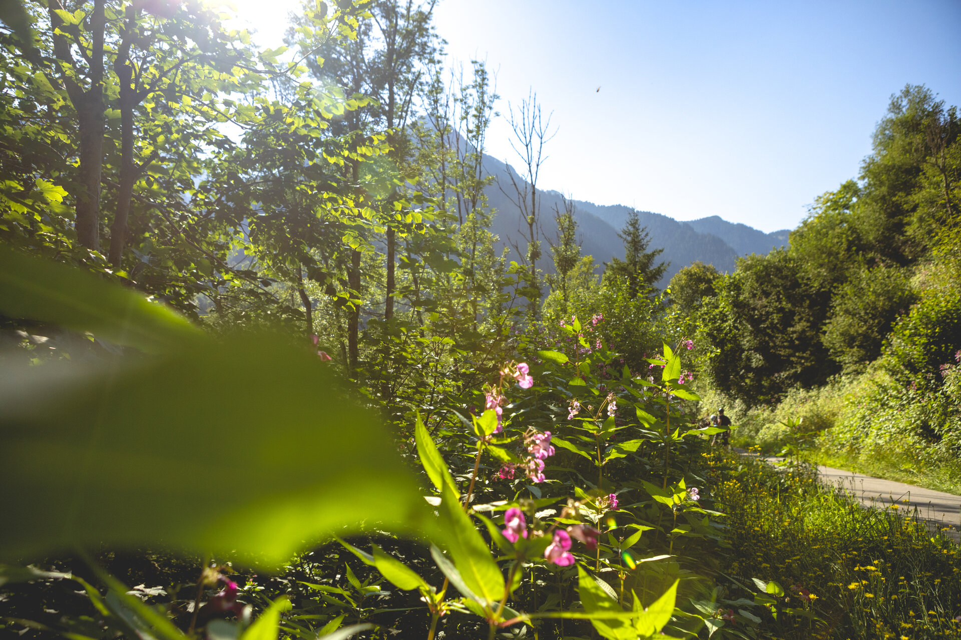
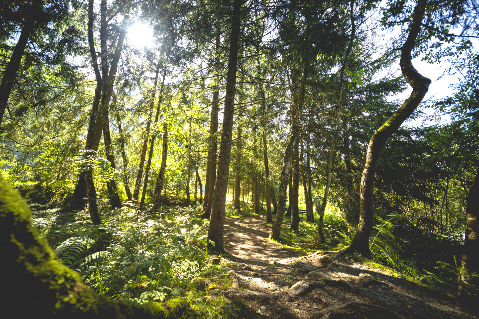
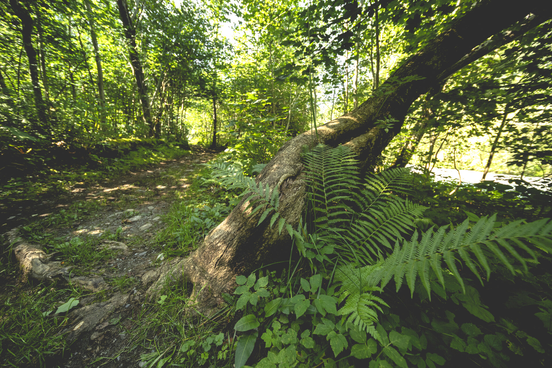
The former Via Valtellina trade route is another historical feature of the tour. Especially in the morning, the trail offers pleasant, shaded, and cool stretches and repeatedly provides beautiful views of the Montafon landscape.

What is the Montafon Alpine Mosaic?

The Alpenmosaik Montafon brings the region’s scenic diversity to life. The four exploration areas—Verwall, Silvretta, Rätikon, and the valley—offer different perspectives on nature, landscape, and culture.

You can find more information about the Montafon Alpine Mosaic HERE.

Starting Point - Directions - End Point

Starting Point
Schruns, downtown

Directions
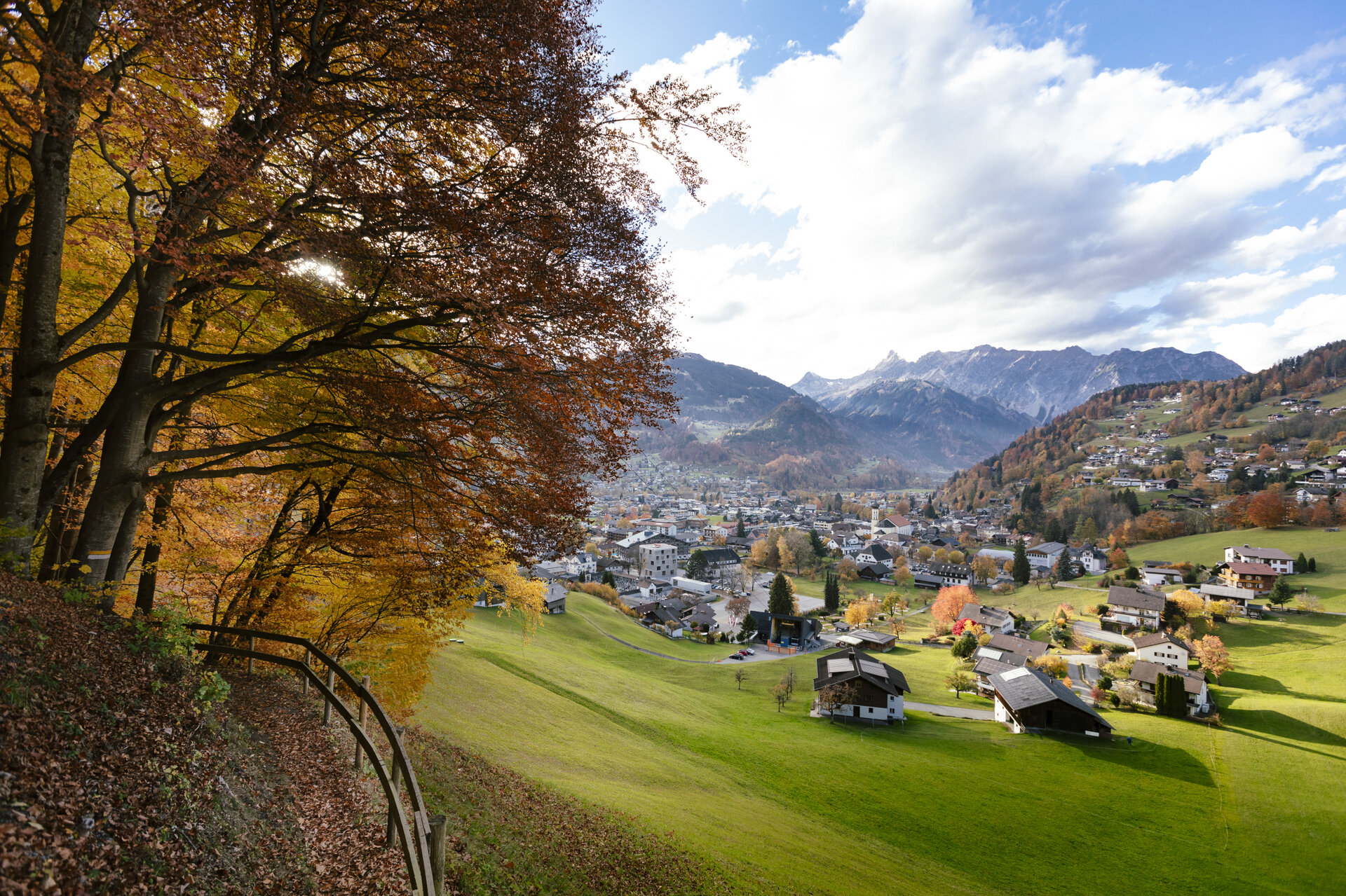
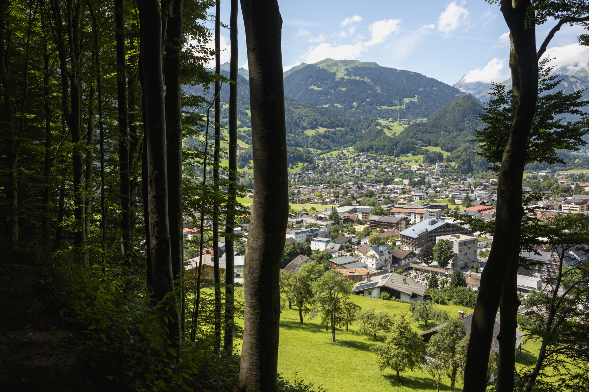
From the town center in Schruns, the trail first leads you slightly uphill and above the valley floor along the local mountain, Kapell, toward Stiefen. Along the way, you’ll hike through the varied cultivated landscape above the valley floor.

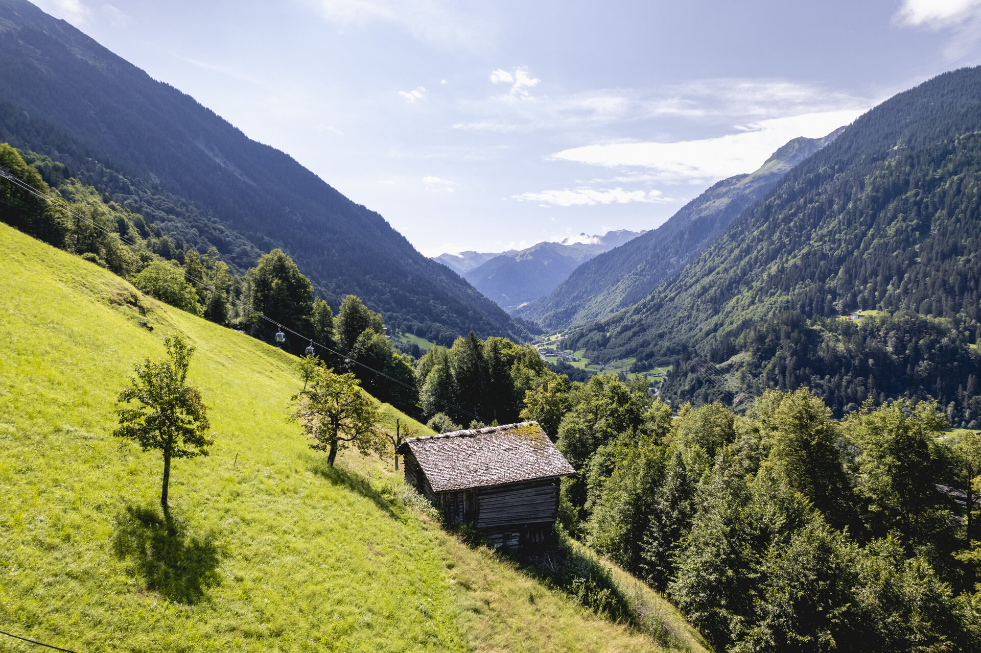
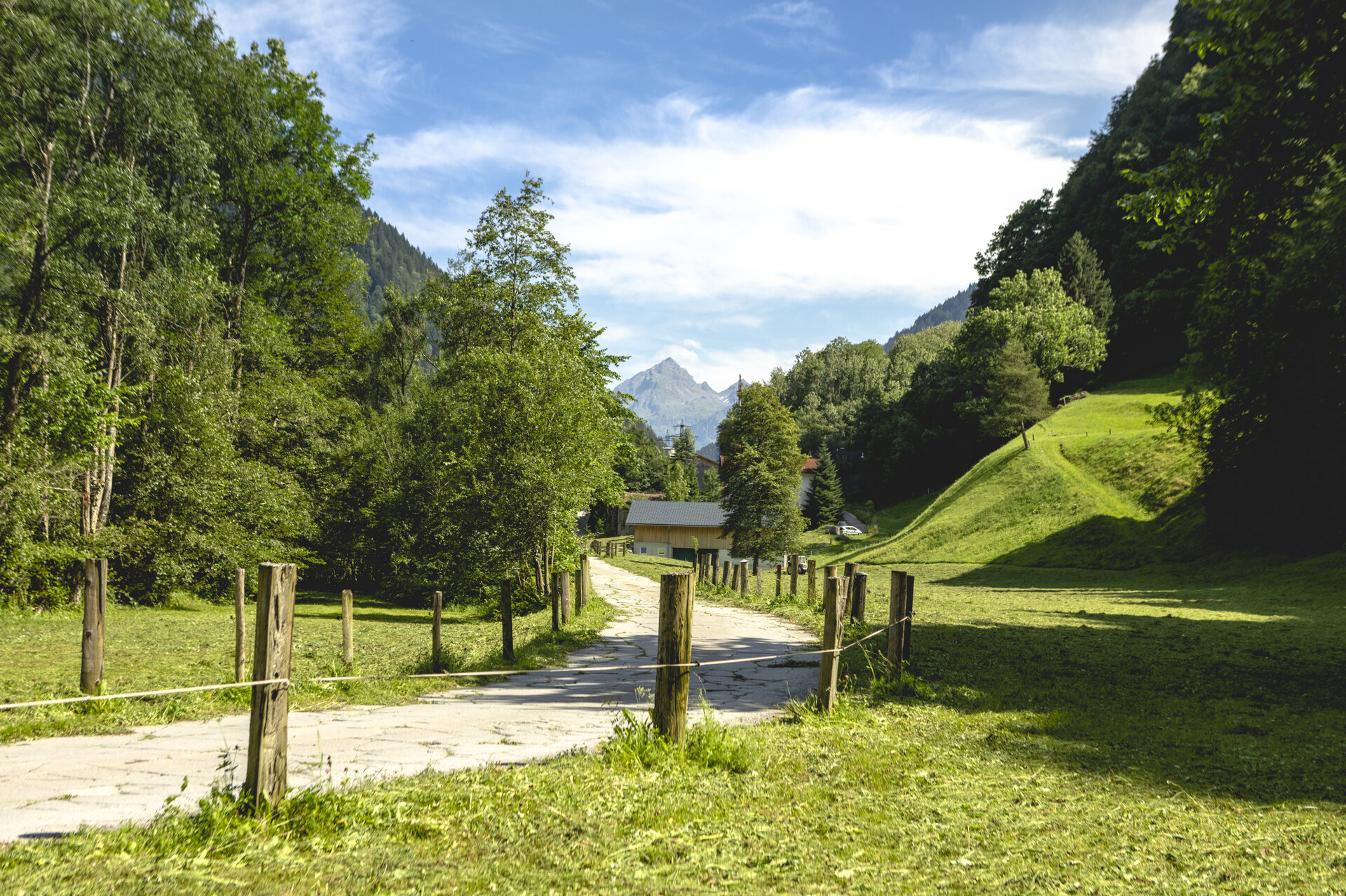
From Stiefen, the trail continues further into the valley. You’ll cross the bridge over the Ill River and follow the walking trail toward St. Gallenkirch. In Galgenul, you’ll reach the Valisera Cable Car and the Grasjoch Cable Car. From there, follow the trail to the town center of St. Gallenkirch.

End Point
St. Gallenkirch, town center; parking available in the town center of Schruns (fee applies).

Getting to the starting point

Getting to the Starting Point
The starting point for this tour is the town center of Schruns.

By public transportation:
The Montafon regional bus and the Montafonerbahn provide convenient and flexible travel throughout the valley. Trains and buses run regularly between the towns, every half hour or hourly, depending on the route. You can find the right connection HERE. Bus stop at the start of this tour: Schruns Train Station / Bus stop at the end: St. Gallenkirch Center

By car:
Take the A14 to the Bludenz/Montafon exit, then follow the Montafoner Straße L188 to Schruns. Paid parking is available in the town center of Schruns.

Important Information

Be sure to wear weather-appropriate clothing and bring plenty of drinks.

Tips

Especially in the morning, the trail is pleasantly shady and cool. Be sure to allow enough time along the way to fully appreciate the diverse cultural landscape of the valley.

Sicherheitstipps für Wandern in Vorarlberg

EN NOTRUF:

EN 140 - Alpine Notfälle österreichweit 

EN 144 - Alpine Notfälle Vorarlberg 

EN 112 - Euro-Notruf (funktioniert mit jedem Handy/Netz) 

Properties
Route type Hiking, Alpine mosaic – valley, Alpine mosaic
Difficulty Moderate
Start Schruns
Finish Ortszentrum St. Gallenkirch
Elevation profile
Best months
Jan
Feb
Mar
Apr
May
Jun
Jul
Aug
Sep
Oct
Nov
Dec