From Kapell to Kreuzjoch and back through the Seetal

Moderate
Bergbahnauf-/-abstieg
Hiking · Bergbahnauf-/-abstieg · Schruns
03:15 h duration
7,64 km Length in km
2398 m Highest point
1854 m Lowest point
526 m gain Ascent
526 m gain Descent
Difficulty

Tour description

A scenic summit loop from Kapell to the 2,398-meter-high Kreuzjoch and back to the starting point via the mountain lakes in the Seetal.

From Kapell, you’ll hike up past the Wormser Hut to the Kreuzjoch, where a sweeping view of the Montafon mountains unfolds before you. The return route leads through the Seetal valley, past Herzsee, Kälbersee, and Schwarzsee. This loop hike thus combines a scenic summit with a surprisingly water-rich high-mountain landscape.

Starting Point - Directions - End Point

Starting Point
Kapellrestaurant / Hochjoch Cable Car Upper Station

Directions

The hike begins at the Kapellrestaurant at the Hochjoch Bahn mountain station. From here, follow the trail uphill toward the Wormser Hütte.

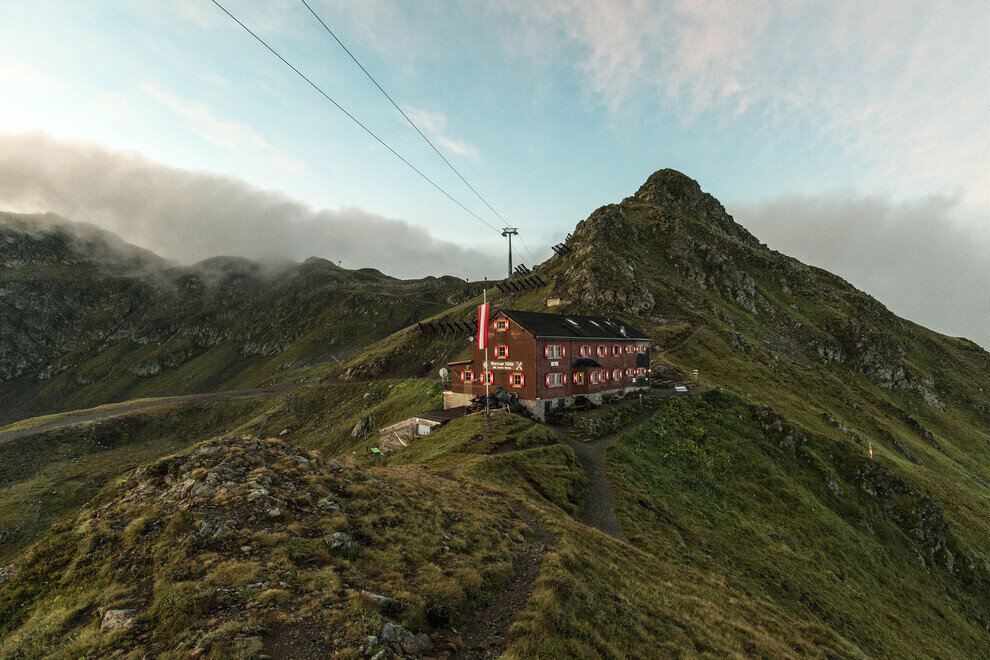
As you gain elevation, the view opens up and the landscape becomes more alpine. You’ll reach the Wormser Hütte at 2,307 meters, which is a great spot for either a short break or a meal. From the hut, continue up the mountain trail toward Kreuzjoch.

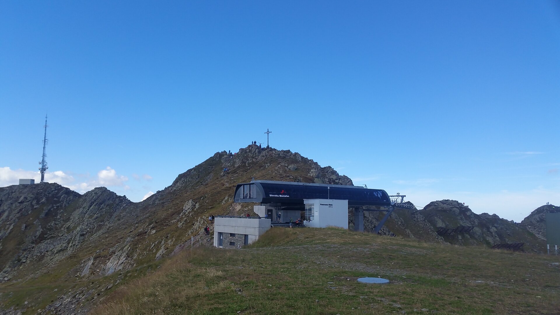
After the final ascent, you’ll reach Kreuzjoch at 2,398 meters, the highest point of the tour. Here, a sweeping panoramic view opens up over the surrounding mountain ranges and down into the Montafon valley.

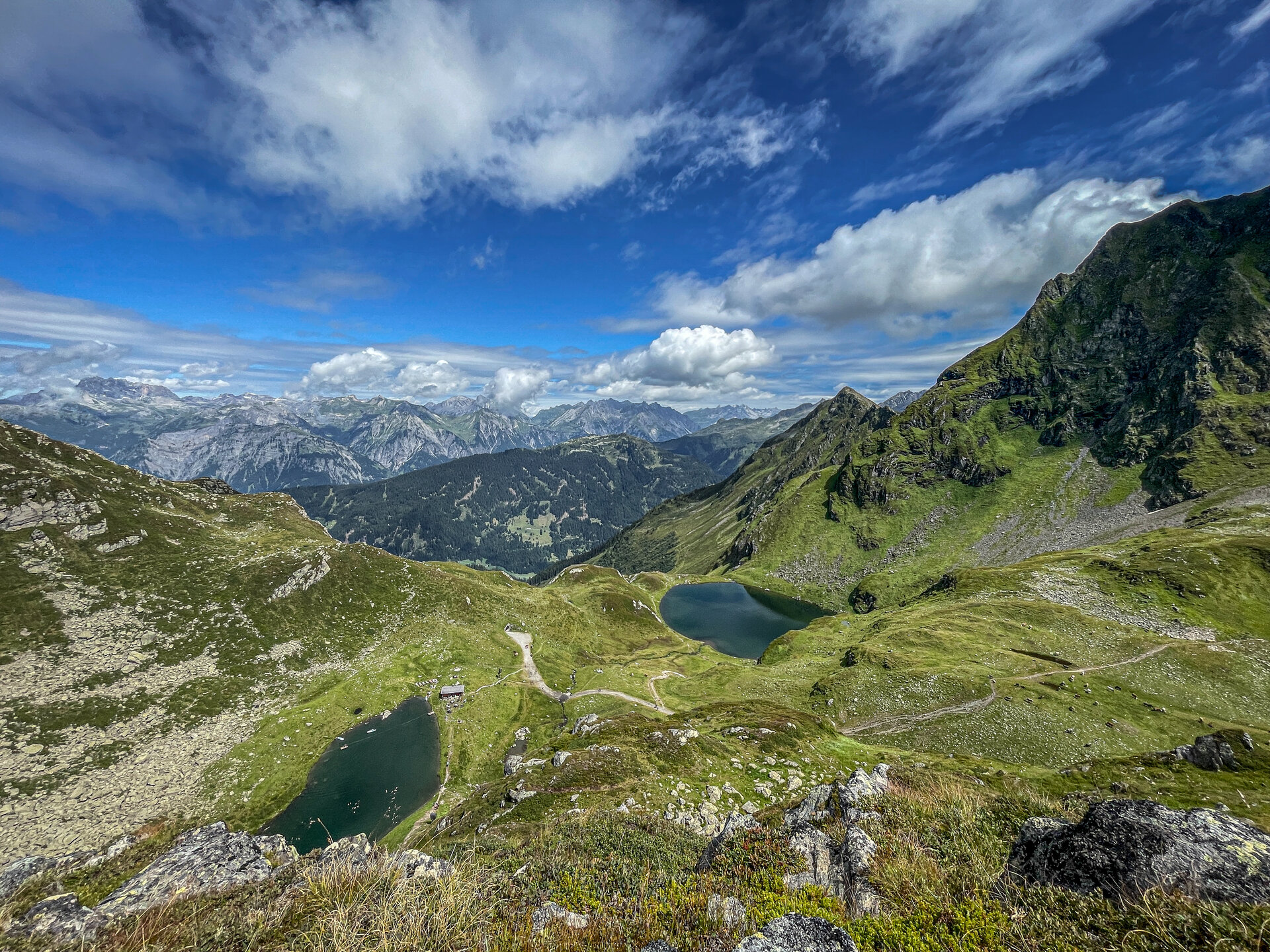
For the return trip, follow the route down into the Seetal valley. First, you’ll reach Herzsee. The trail then continues to Kälbersee and past the Seetalhüsli. Passing Schwarzsee, you’ll finally continue down the valley toward Kapell.

The final few meters lead back to the Hochjoch Bahn mountain station and the Kapell restaurant, where the loop comes full circle.

End Point
Kapell Restaurant / Hochjoch Bahn Mountain Station

Getting to the starting point

We recommend starting at the Kapellrestaurant or the upper station of the Hochjoch Bahn or Zamang Bahn. Please check the current operating hours of the mountain railways.

By Public Transportation

With the Montafon regional bus and the Montafonerbahn, you can get around the valley comfortably and flexibly. The train and bus connect the towns regularly, every half hour or hourly depending on the route. You can find suitable connections here. Possible stops for the start and end of this tour are: Zamang Bahn or Hochjoch Bahn

By car

Take the A14 to the Bludenz/Montafon exit. Then follow Montafonerstraße L188 to Schruns, where the valley stations of the respective feeder railways are located.

Important Information

For this tour, you’ll need to be in good physical condition, sure-footed, and wearing sturdy hiking boots. You’ll be walking on alpine trails, especially around the Kreuzjoch and during the descent into the Seetal.

Since the starting and ending points are only accessible by mountain rail, be sure to keep track of the rail service schedules —especially the last descent to the valley.

If there is a risk of thunderstorms or poor visibility, you should not attempt this summit hike.

Tips

Take your time on the Kreuzjoch: The summit is more than just the turning point of the hike. On a clear day, the view extends far beyond the mountains surrounding the Montafon.

The lakes make the return trip special: Herzsee, Kälbersee, and Schwarzsee give the Seetal valley a completely different character than the scenic ascent. It is precisely this contrast that makes the loop hike particularly varied.

Plan a stop for refreshments: Along the way, the Wormser Hütte is a great spot to stop, and upon your return, the Kapellrestaurant is another good option. Check opening hours in advance.

Break at Kälbersee: At the Seetalhüsli by Kälbersee, it’s worth setting aside a little extra time so you don’t just pass by the mountain lakes as waypoints.

Sicherheitstipps für Wandern in Vorarlberg

EN NOTRUF:

EN 140 - Alpine Notfälle österreichweit 

EN 144 - Alpine Notfälle Vorarlberg 

EN 112 - Euro-Notruf (funktioniert mit jedem Handy/Netz) 

Properties
Route type Hiking, Bergbahnauf-/-abstieg
Difficulty Moderate
Start Kapellrestaurant
Finish Kapellrestaurant
Elevation profile
Best months
Jan
Feb
Mar
Apr
May
Jun
Jul
Aug
Sep
Oct
Nov
Dec