Smuggler’s path

Moderate
Alpenmosaik - Rätikon
Einkehrmöglichkeit
Rundtour
Bergbahnauf-/-abstieg
Themenweg · Hiking · Alpine mosaic – Rätikon · Alpine mosaic · Bergbahnauf-/-abstieg · Refreshment stops · Round trip
04:30 h duration
8,61 km Length in km
2478 m Highest point
2117 m Lowest point
615 m gain Ascent
615 m gain Descent
Stamina
Skill
Difficulty
Adventure
Scenery

Tour description

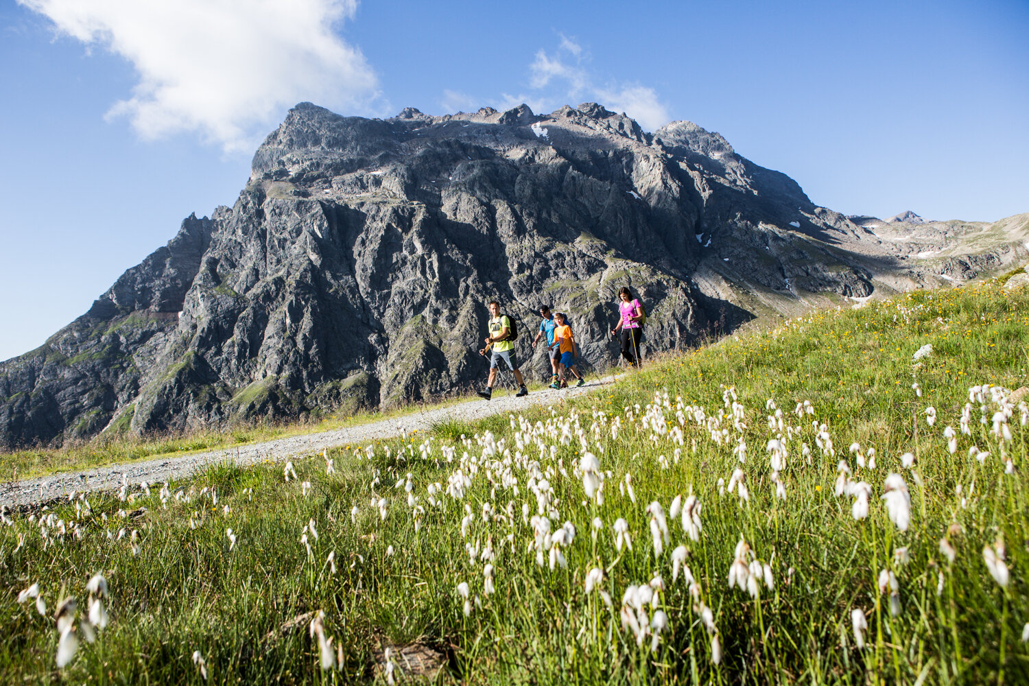
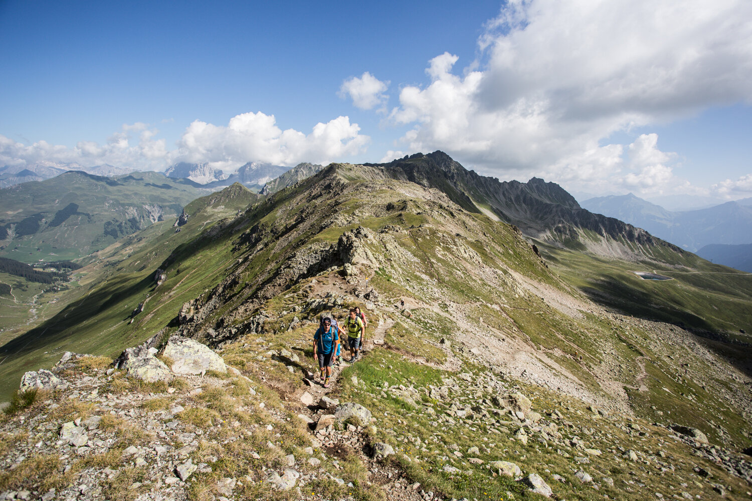
The Smugglers' Trail takes you along historic paths through the border region between Austria and Switzerland, offering breathtaking views of the Rätikon and Prättigau.

For over a century and a half, smuggling was an important source of income for many people in the Montafon. Goods were carried over the mountains and past border checkpoints on nighttime treks. Loads weighing up to 40 kilograms were not uncommon. Coffee, salt, flour, and sugar were smuggled, as were tobacco, clothing, animals, and other goods.

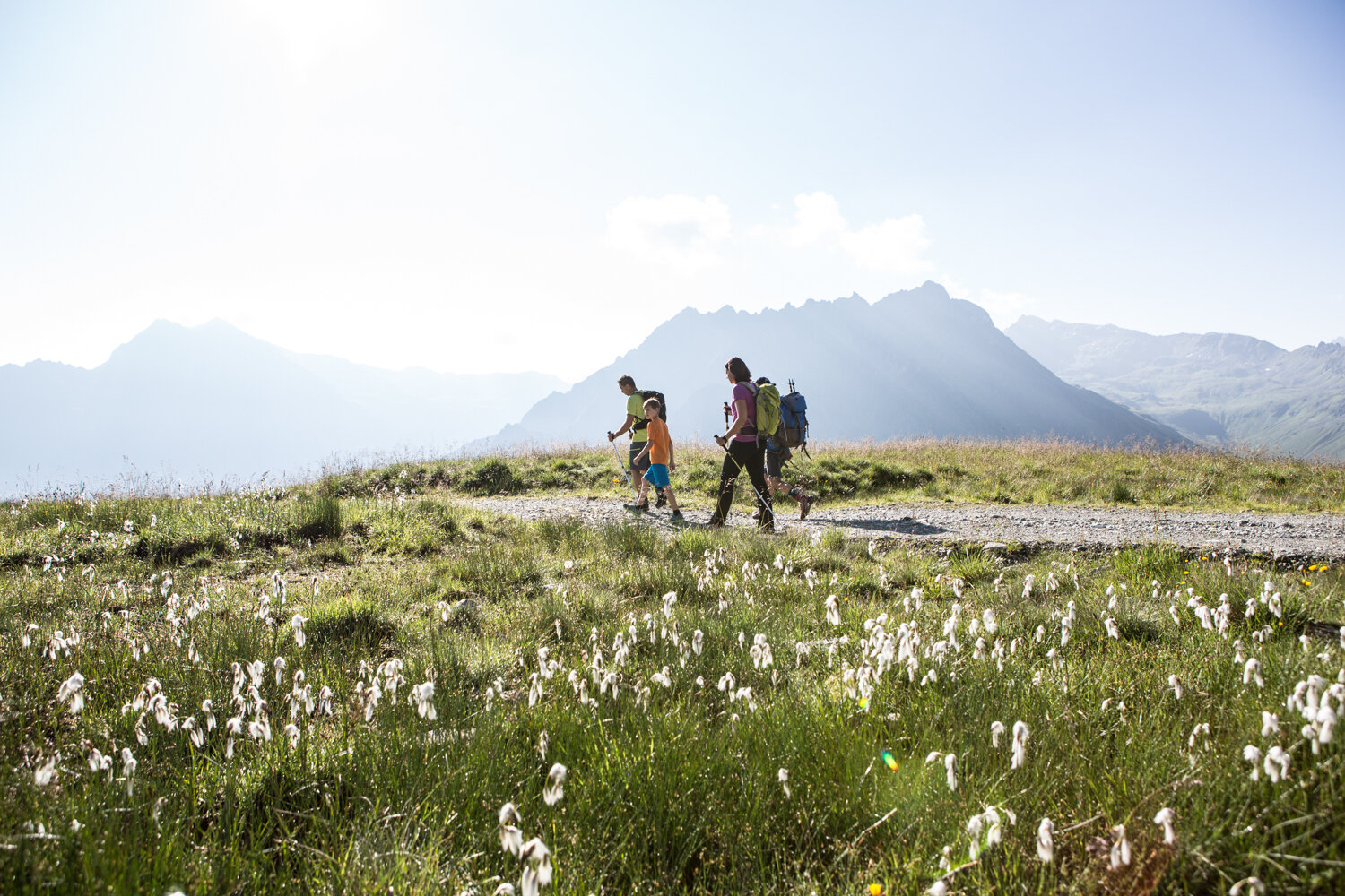
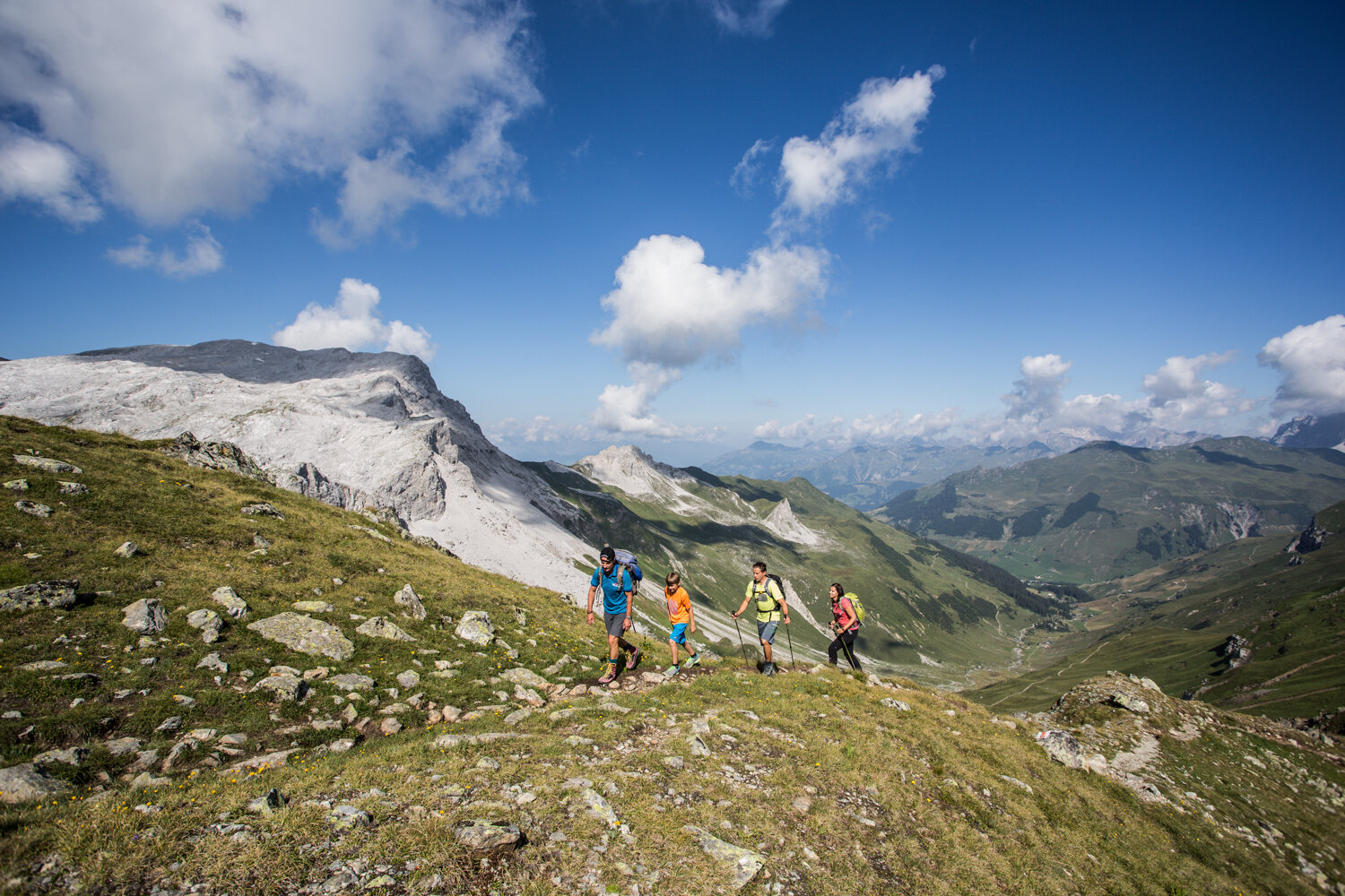
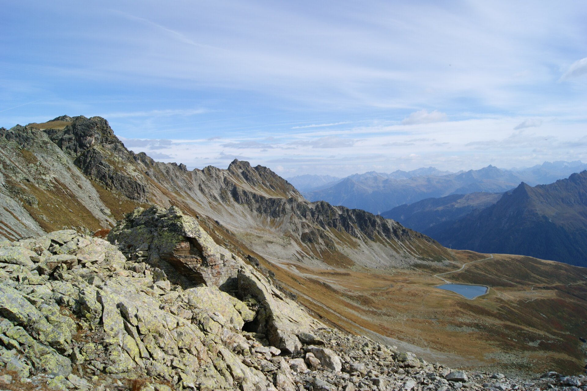
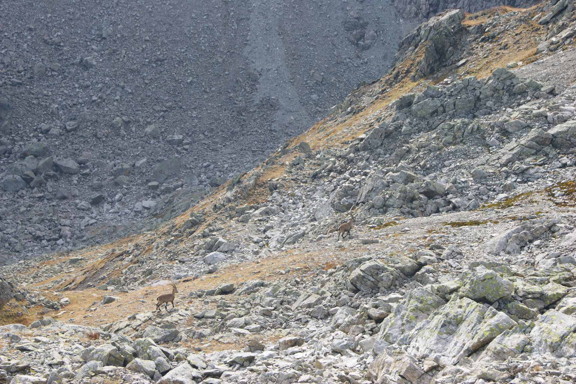
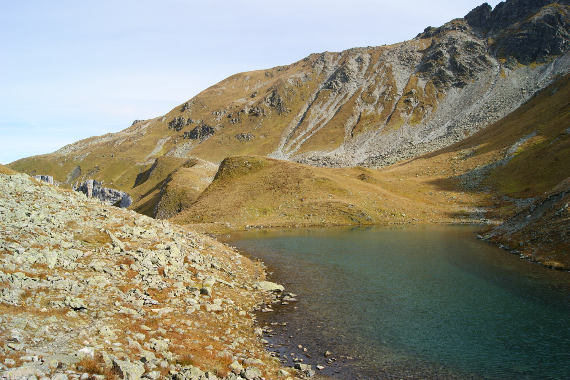
The Smugglers’ Trail brings this history to life on a varied loop hike. Starting at the Schafberg Hüsli, the tour leads over the St. Antönier Pass and past Lake Gafier to the Gafier Pass and back to Gargellen. With a little luck, you might spot marmots, chamois, or ibex along the way. The Smugglers’ Trail was awarded the Austrian Hiking Seal of Quality in 2015.

What is the Montafon Alpine Mosaic?

The Montafon Alpine Mosaic showcases the scenic diversity of the Montafon. Four experiential areas—Verwall, Silvretta, Rätikon, and the valley—illustrate how geology, nature, and the cultural landscape are interconnected.

Along 34 themed trails, you can discover the unique features of these diverse landscapes. Starting points, themes, and stories along the trails continually offer you new perspectives on the Montafon.

So: Choose an exploration area, lace up your hiking boots, and discover the diversity of the Montafon step by step.

You can find more information about the Montafon Alpine Mosaic HERE.

Starting Point - Directions - End Point

Starting Point
Gargellen, Gargellner Bergbahnen mountain station

Directions
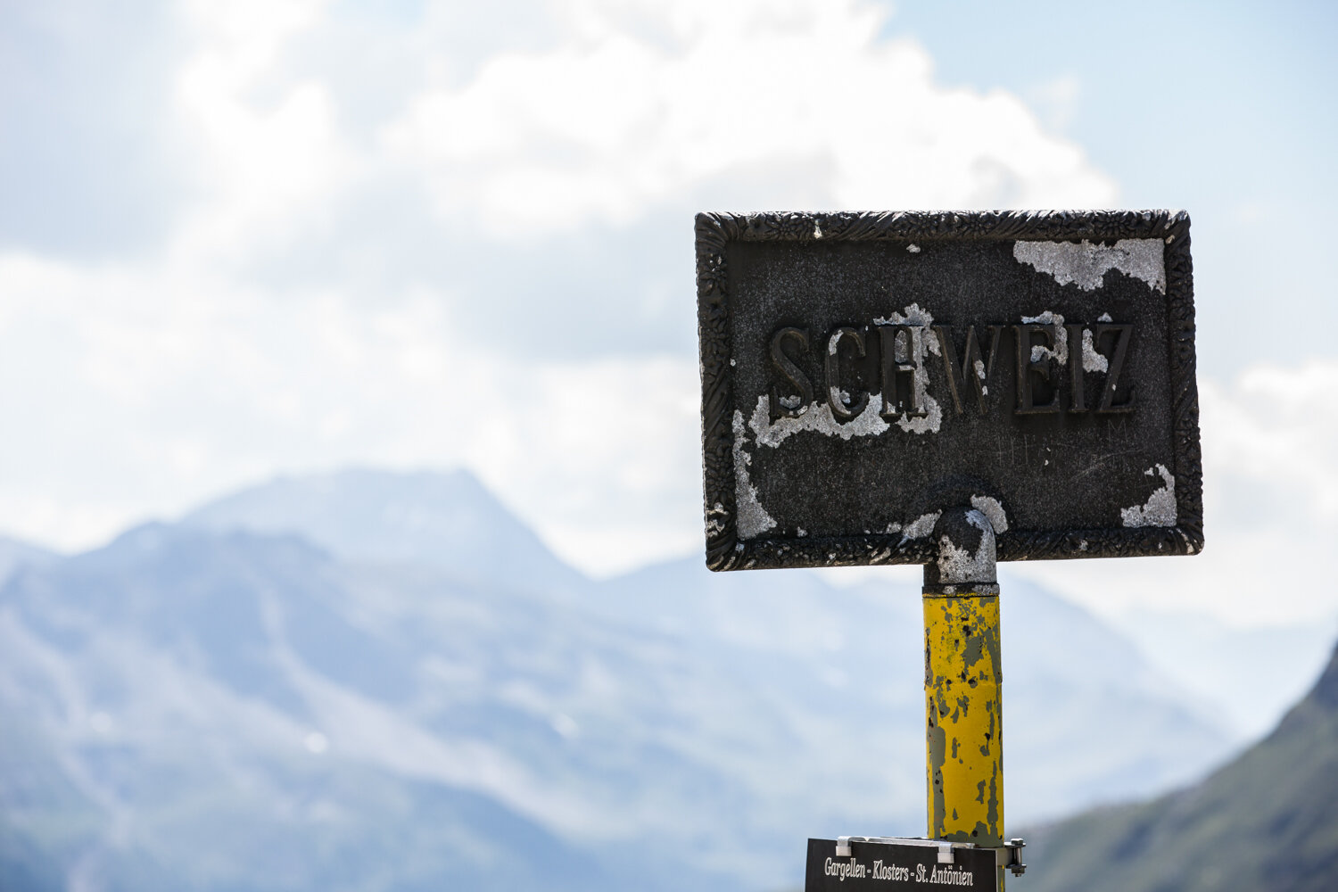
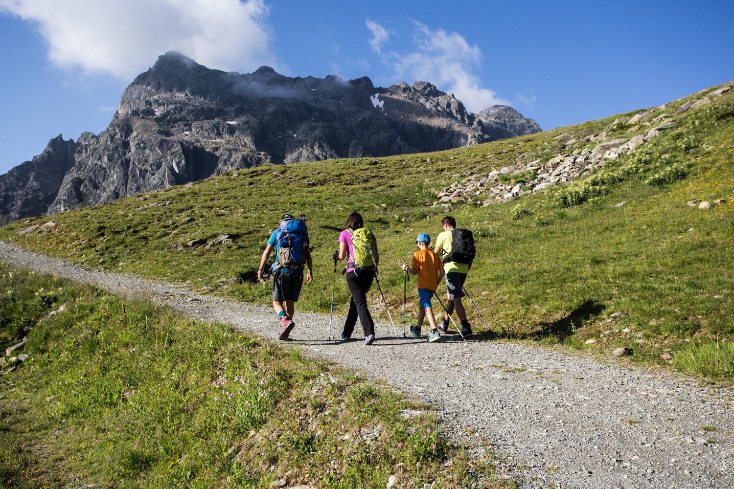
From the Schafberg Hüsli mountain restaurant, hike uphill on the wide trail toward the Kristallbahn mountain station and follow the signs to the St. Antönier Pass. The trail starts off slightly downhill before branching off onto a narrow path leading to the pass. After about 45 minutes, you’ll reach the St. Antönier Joch across meadows, marking the border between Austria and Switzerland.

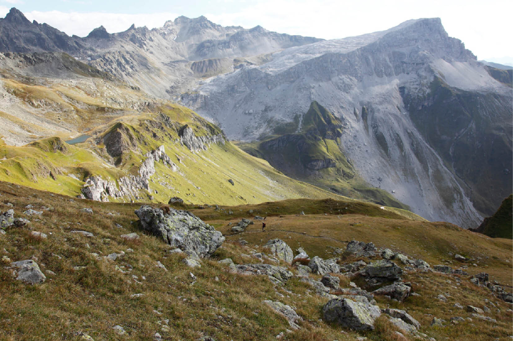
From the pass, the trail continues over a short section of ridge to the Swiss side. You’ll then hike to Lake Gafier, which is idyllically nestled in the mountain landscape. Passing views of St. Antönien, Sulzfluh, Drei Türme, and Rätschenfluh, the trail leads over boulder fields and up another ascent to the Gafier Pass. There, you’ll cross the national border once again.

From the Gafierjoch, the trail leads downhill to the left across the reservoir back to the Schafberg Hüsli mountain restaurant.

End Point
Gargellen, Gargellner Bergbahnen Mountain Station

Getting to the starting point

Getting to the Starting Point
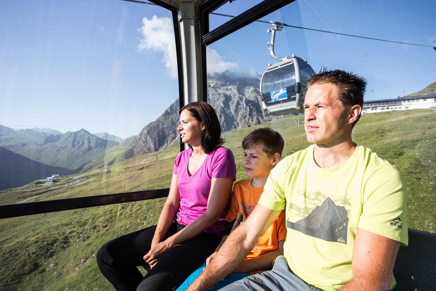
The starting point for the tour is the Schafbergbahn mountain station in Gargellen. Please note the Schafbergbahn’s operating hours.

By public transportation:
The Landbus Montafon and the Montafonerbahn offer a convenient and flexible way to get around the valley. Trains and buses run regularly between the towns, every half hour or every hour depending on the route. You can find the right connection HERE. Bus stop for the start/end of this tour: Gargellen Bergbahnen.

By car:
Take the A14 to the Bludenz/Montafon exit, then follow the Montafoner Straße L188 to St. Gallenkirch. There, turn right onto Gargellner Straße and follow it to Gargellen to the Gargellner Bergbahnen. Free parking is available at the valley station.

Important Information

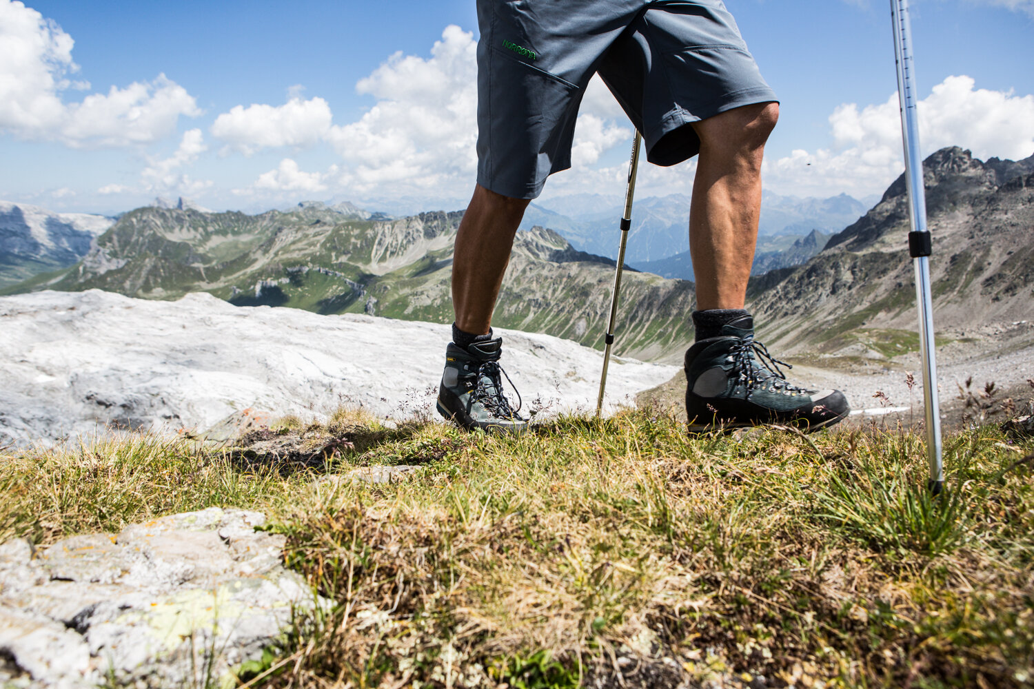
Alpine mountain trail: The trail may include safety ropes and foothold aids. At the St. Antönier Pass, a short section runs along the ridge. Surefootedness and a head for heights are absolutely essential here. A steel cable serves as an aid on this section.

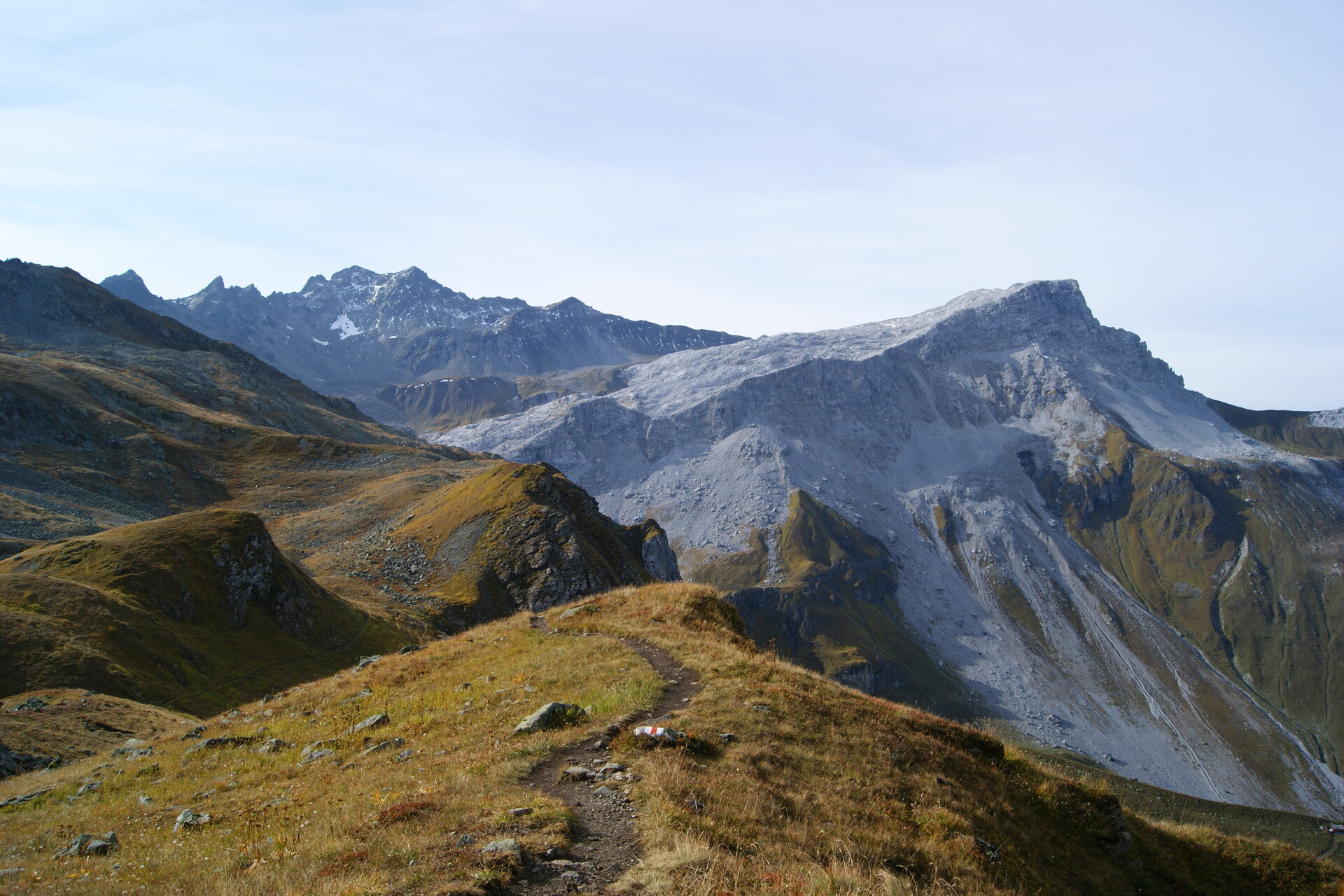
The rest of the hike is marked with white-red-white trail markers. For this hike, we recommend hiking boots with a good tread. Hiking poles can help you on the ascents and descents.

Tips

Bring a pair of binoculars. With a little luck, you might spot some ibex along the way.

Sicherheitstipps für Wandern in Vorarlberg

EN NOTRUF:

EN 140 - Alpine Notfälle österreichweit 

EN 144 - Alpine Notfälle Vorarlberg 

EN 112 - Euro-Notruf (funktioniert mit jedem Handy/Netz) 

Properties
Route type Themenweg, Hiking, Alpine mosaic – Rätikon, Alpine mosaic, Bergbahnauf-/-abstieg, Refreshment stops, Round trip
Difficulty Moderate
Elevation profile
Best months
Jan
Feb
Mar
Apr
May
Jun
Jul
Aug
Sep
Oct
Nov
Dec