Seetalweg

Moderate
Alpenmosaik - Verwall
Einkehrmöglichkeit
Familienfreundlich
Bergbahnauf-/-abstieg
Themenweg · Hiking · Alpine mosaic – Verwall · Alpine mosaic · Bergbahnauf-/-abstieg · Refreshment stops · Family-friendly
02:00 h duration
5,45 km Length in km
2306 m Highest point
1855 m Lowest point
81 m gain Ascent
494 m gain Descent
Stamina
Skill
Difficulty
Adventure
Scenery

Tour description

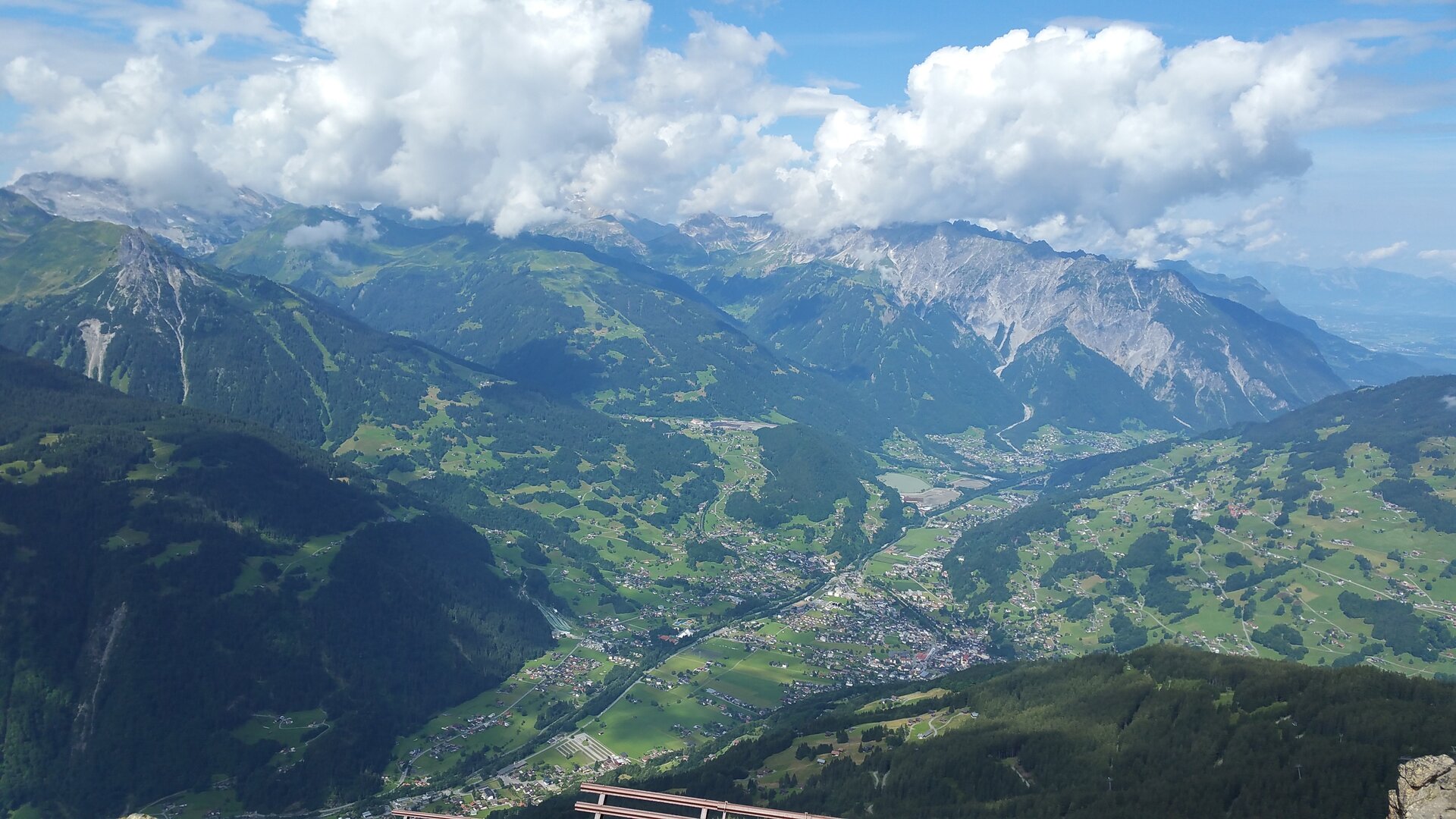
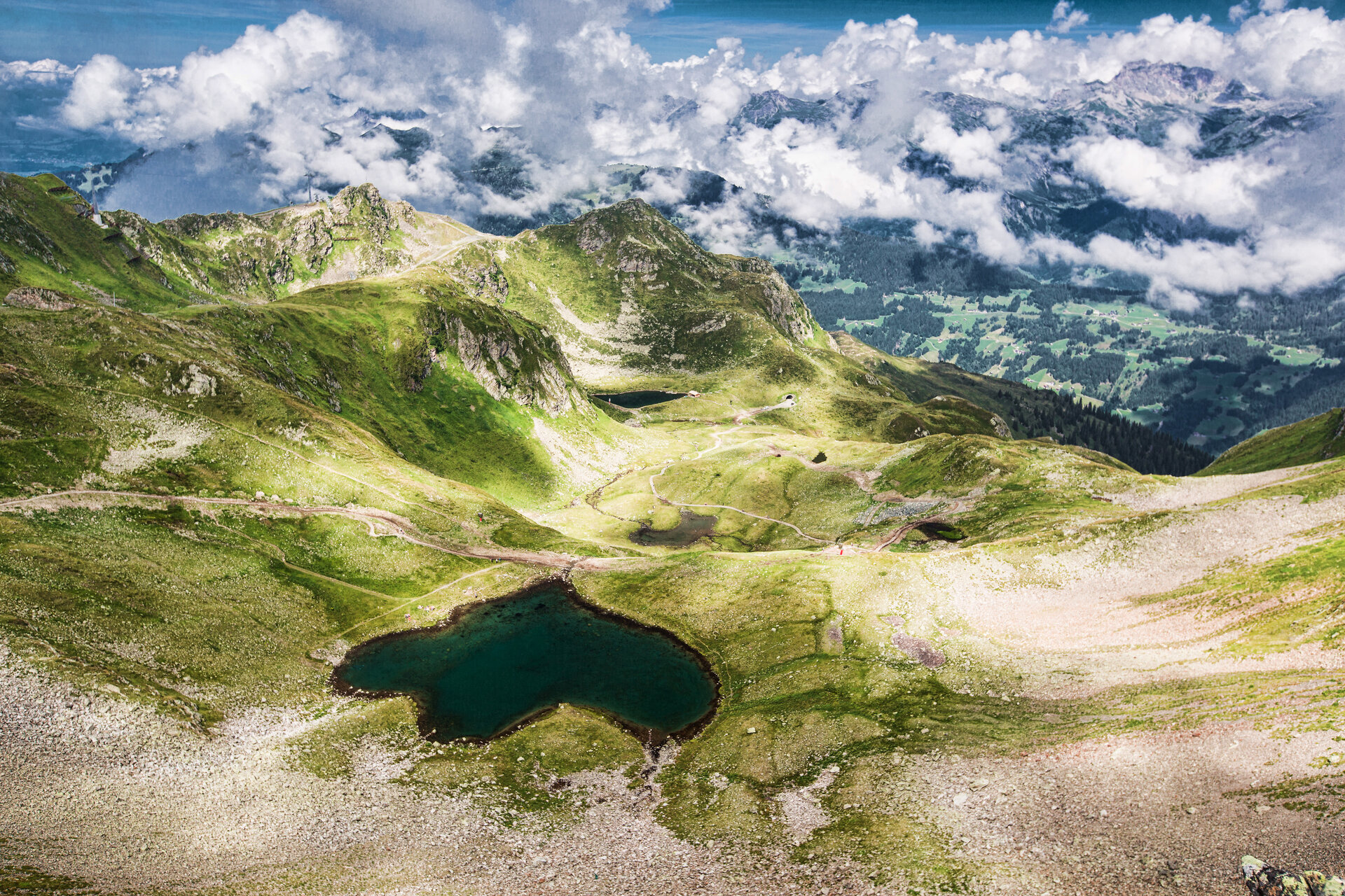
A scenic hike from Sennigrat through the alpine landscape of the Hochjoch, past mountain lakes and the Wormser Hut, all the way to the interactive stations along the Nature Forces Trail.

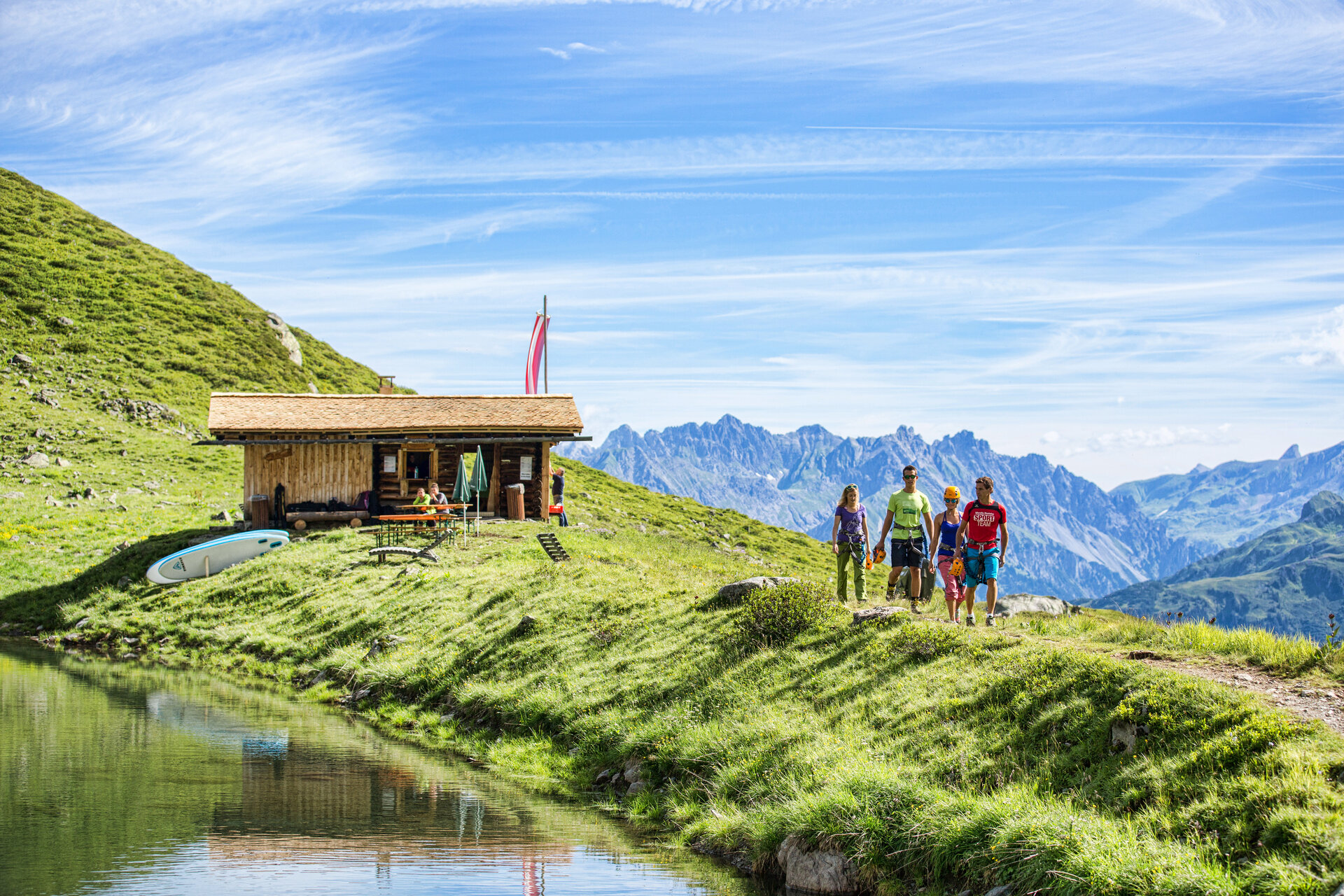
Around the Hochjoch, breathtaking mountain views meet diverse alpine habitats. From the Wormser Hut, you’ll enjoy a sweeping view of the surrounding mountains, while below the Hochjoch, with a little luck, you can watch climbers on the via ferrata.

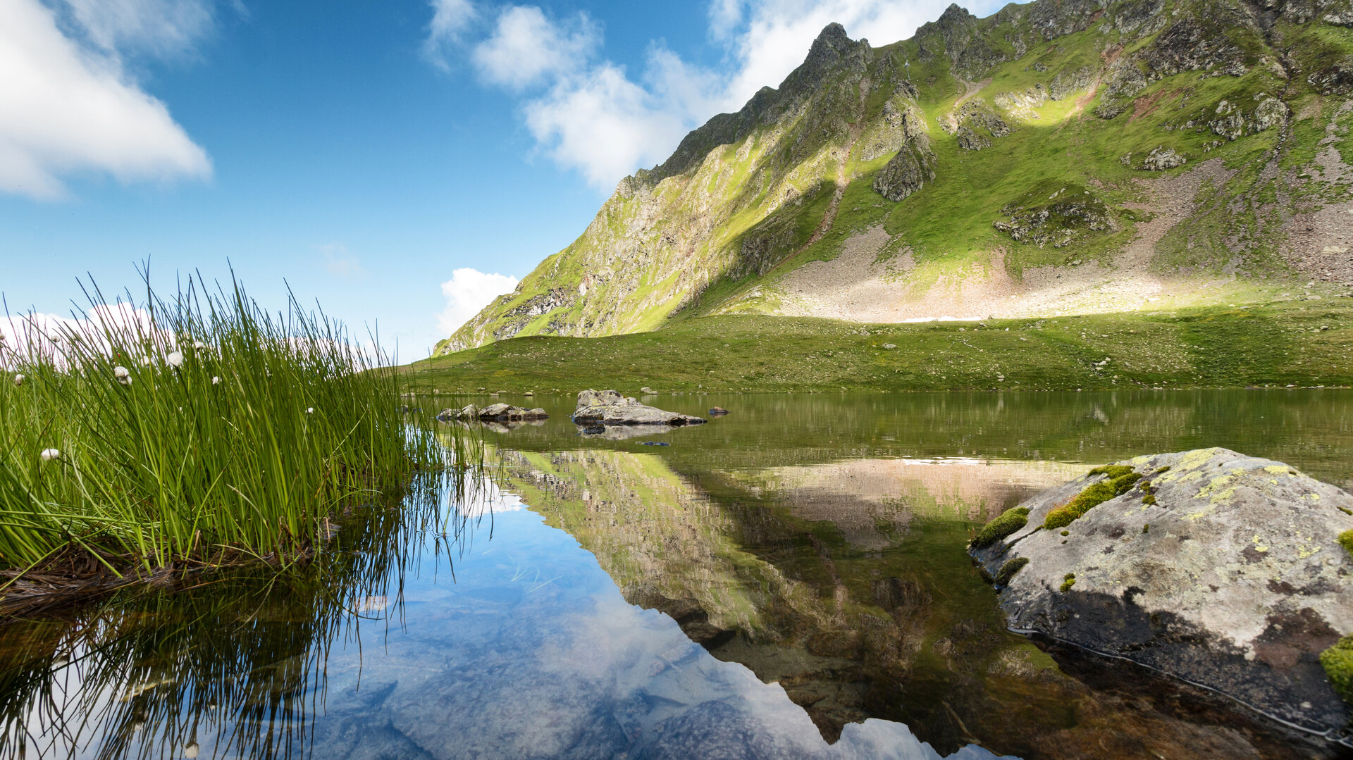
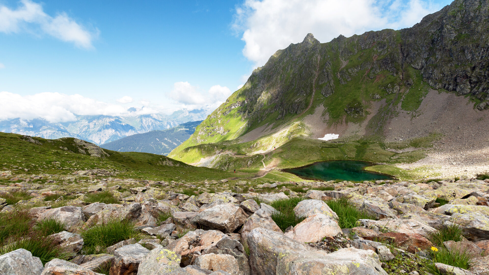
In the Seetal valley, deep-blue mountain lakes and alpine meadows define the landscape. On the Nature Forces Trail, everything revolves around the elements of the mountains: at various stations, you can, among other things, create “summit storms” at the wind towers and use your own muscle power to create giant stones.

What is the Montafon Alpine Mosaic?

The Montafon Alpine Mosaic showcases the scenic diversity of the Montafon. Four exploration areas—Verwall, Silvretta, Rätikon, and the valley—illustrate how geology, nature, and the cultural landscape are interconnected.

Along 34 themed trails, you can discover the unique features of these diverse landscapes. Starting points, themes, and stories along the trails continually offer you new perspectives on the Montafon.

So: Choose an exploration area, lace up your hiking boots, and discover the diversity of the Montafon step by step.

You can find more information about the Montafon Alpine Mosaic HERE.

Starting Point - Directions - End Point

Starting Point
Schruns, upper station of the Sennigrat Cable Car

Directions
From the Sennigrat Bahn mountain station, you’ll first hike toward the Wormser Hütte. From there, the trail leads you down into the Seetal valley and past Herzsee and Schwarzsee.

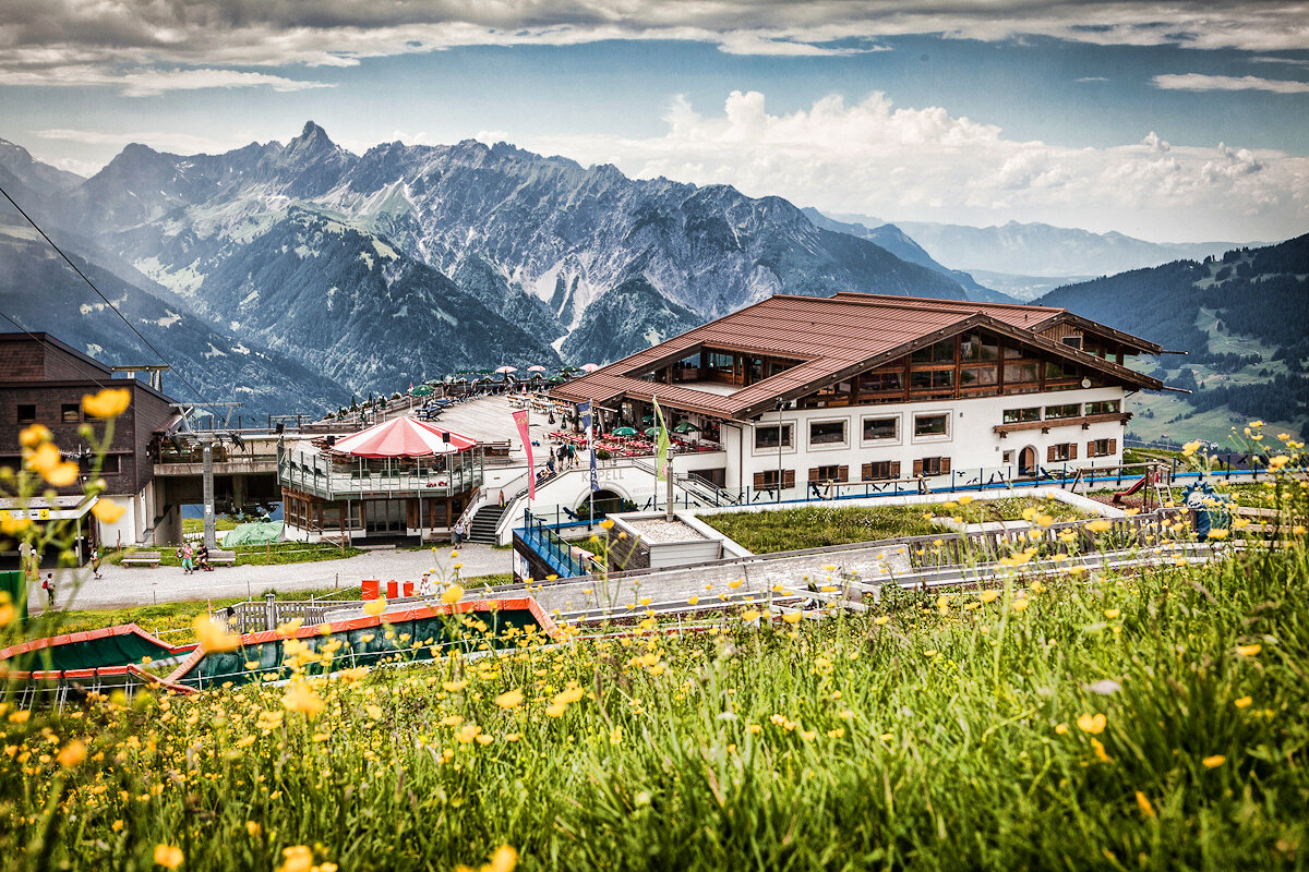
At Schwarzsee, the trail becomes a bit more challenging and continues toward Seebligasee. Just before reaching it, you can take a detour to the Surblies viewpoint. You’ll then return via the Naturkräftepfad to the top station of the Hochjoch Bahn and the Kapellrestaurant.

End Point
Schruns, Hochjoch Bahn mountain station / Kapellrestaurant

Getting to the starting point

Getting to the Starting Point
The starting point for the tour is the Sennigrat Bahn station. Please note the operating hours of the Hochjoch Bahn and the Sennigrat Bahn.

By public transportation:
The Landbus Montafon and the Montafonerbahn offer a convenient and flexible way to get around the valley. Trains and buses run regularly between the towns, every half hour or every hour depending on the route. You can find the right connection HERE. Bus stop at the start/end of this tour: Schruns Hochjoch Bahn

By car:
Take the A14 to the Bludenz/Montafon exit. Then follow the Montafonerstraße L188 to Schruns and the Hochjoch Bahn. Paid parking is available at the Hochjoch Bahn’s valley station.

Important Information

For this hike, we recommend a daypack with a rain cover, sturdy and comfortable footwear, and weather-appropriate, durable clothing using the layering principle.

For this hike, we recommend a daypack with a rain cover, sturdy and comfortable footwear, and weather-appropriate, durable clothing worn in layers.

You should also bring sun and rain protection, plenty of food and drinking water, a first-aid kit, a pocket knife, a cell phone, and maps. Depending on your needs, telescoping hiking poles and a headlamp may also be useful.

Tips

Enjoy the view while stopping for a break at the Wormser Hütte and treat yourself to some homemade apple strudel.

You can find more information about the Verwall European Protected Area and its unique habitats HERE.

Sicherheitstipps für Wandern in Vorarlberg

EN NOTRUF:

EN 140 - Alpine Notfälle österreichweit 

EN 144 - Alpine Notfälle Vorarlberg 

EN 112 - Euro-Notruf (funktioniert mit jedem Handy/Netz) 

Properties
Route type Themenweg, Hiking, Alpine mosaic – Verwall, Alpine mosaic, Bergbahnauf-/-abstieg, Refreshment stops, Family-friendly
Difficulty Moderate
Finish Bergstation Hochjoch Bahn
Elevation profile
Best months
Jan
Feb
Mar
Apr
May
Jun
Jul
Aug
Sep
Oct
Nov
Dec