St​.​ Gallenkirch​-​Galgenul Loop Trail

Easy
Loop Trail
Winter hiking · St. Gallenkirch
00:50 h duration
2,41 km Length in km
920 m Highest point
823 m Lowest point
100 m gain Ascent
100 m gain Descent
Stamina
Skill
Difficulty
Adventure
Scenery

Tour description

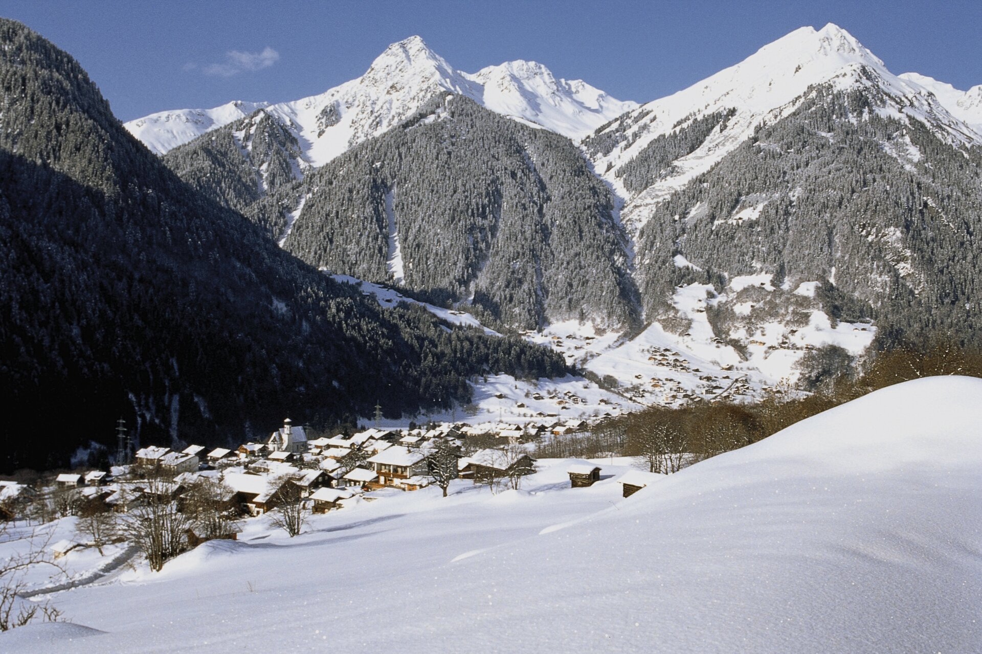
Eine leichte Winterwanderung rund um St. Gallenkirch, die Dich entlang der Ill, über verschneite Wiesen und durch die Ortsteile Galgenul, Dossel und Außerziggam führt.

From the center of St. Gallenkirch, you’ll first hike down to the Ill River and follow the valley trail to Galgenul. The loop trail then takes you through Dossel and along the Sponaweg up to Außerziggam, before you return to the center via the Zamangweg. If you’d like to shorten the loop, you can turn directly toward the Zamangweg at Dossel.

Starting Point - Directions - End Point

Starting point: St. Gallenkirch, downtown

Below the St. Gallenkirch Tourist Office, a path leads you down to the Illweg. There, turn right and follow the path out of the valley to the construction and recycling center.

At the Steinschafhof, the route leads across a snow-covered meadow up to the main road. After crossing the road, continue following the path toward Dossel. There, keep left and hike uphill along the Sponaweg toward Außerziggam.

If you’d like to shorten the hike, you can turn right at Dossel toward Zamangweg instead.

From Außerziggam, the trail takes you across the meadow and continues along Zamangweg back to St. Gallenkirch. Passing the community hall, you’ll finally return to your starting point in the town center.

End point: St. Gallenkirch, town center

Getting to the starting point

Getting to the Starting Point
The starting point for the tour is the town center of St. Gallenkirch.

By public transportation:
With the Montafon regional bus and the Montafonerbahn, you can travel comfortably and flexibly throughout the valley. Trains and buses run regularly between the towns. You can find the right connection HERE. Bus stop at the start/end of this tour: St. Gallenkirch Center

By car:
Take the A14 to the Bludenz/Montafon exit, then follow the Montafoner Straße L188 to St. Gallenkirch.

Important Information

Be sure to wear sturdy footwear suitable for winter conditions. Depending on the weather, some sections of the trail may be covered in snow or slippery.

Tips

This tour is marked with the pink number 4 on the “Winter Activities” overview map. You can pick up a copy of the map for free at the Montafon tourist information offices.

For a shorter route, you can turn off at Dossel directly onto the Zamangweg and hike back from there to the center of St. Gallenkirch.

Sicherheitstipps für Winterwandern in Vorarlberg

NOTRUF:

140 - Alpine Notfälle österreichweit 

144 - Alpine Notfälle Vorarlberg 

112 - Euro-Notruf (funktioniert mit jedem Handy/Netz) 

Wetterbedingt kann es vorkommen, dass die Wanderwege nicht täglich frisch gespurt werden. Je nach Schnee- und Wetterverhältnissen kann es zu Änderungen kommen.

Properties
Route type Winter hiking
Difficulty Easy
Start Tourism information St. Gallenkirch
Finish Tourism information St. Gallenkirch
Elevation profile
Best months
Jan
Feb
Mar
Apr
May
Jun
Jul
Aug
Sep
Oct
Nov
Dec