Tour description
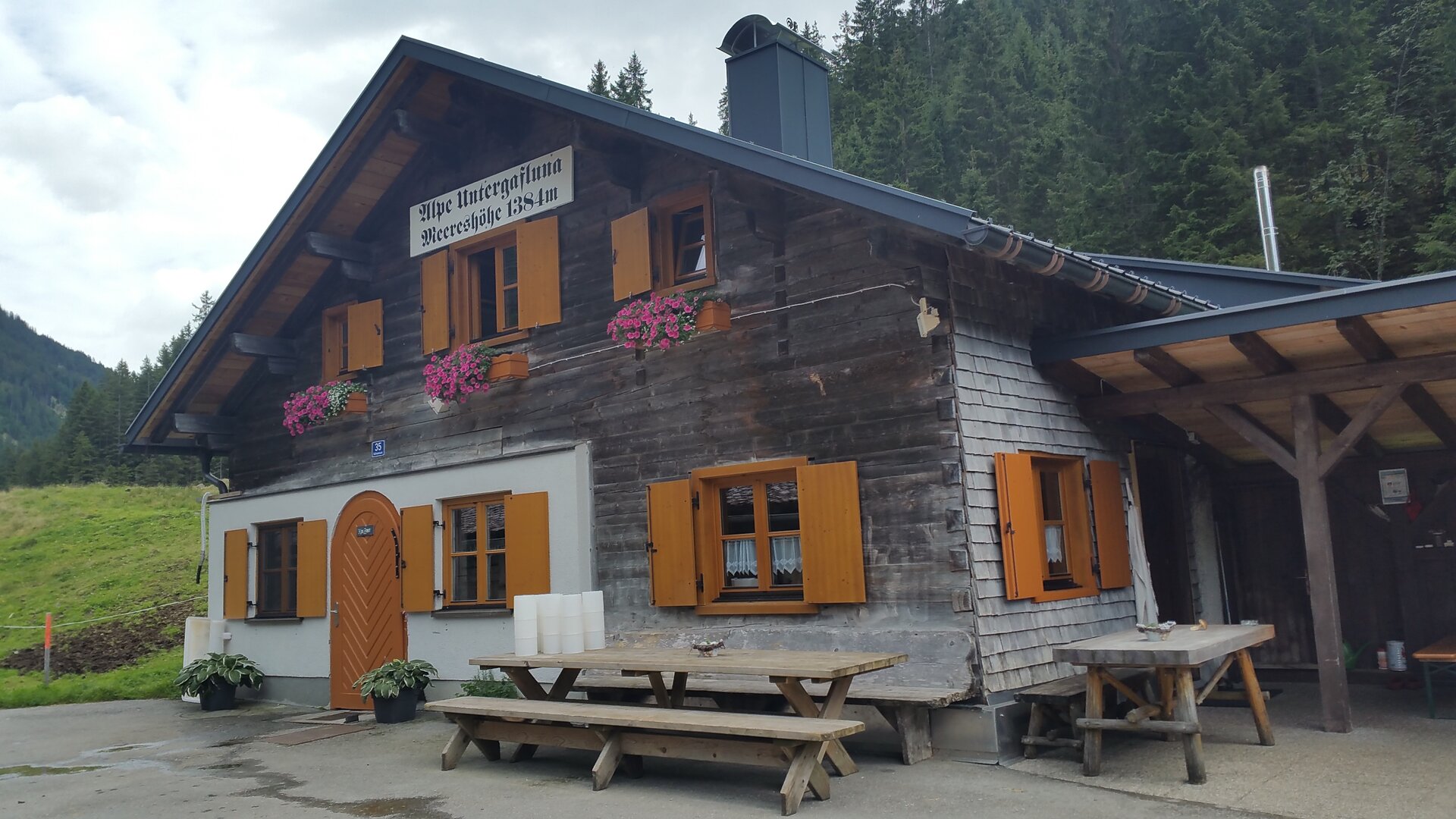
St. Anton am Arlberg – Verwallsee – Schönverwall – Langsee – Fresch Alpe- Untere Gafluna Alpe – Gasthaus Fellimännle – Teufelsbach Waterfall – Silbertal Center - Silbertal Sports Ground
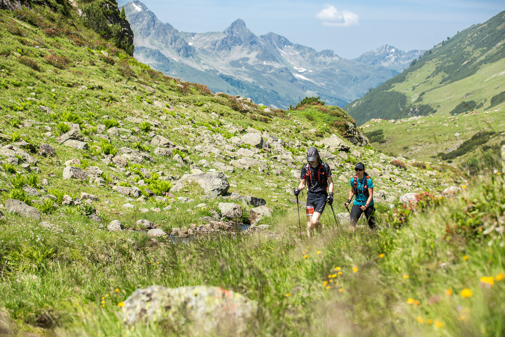
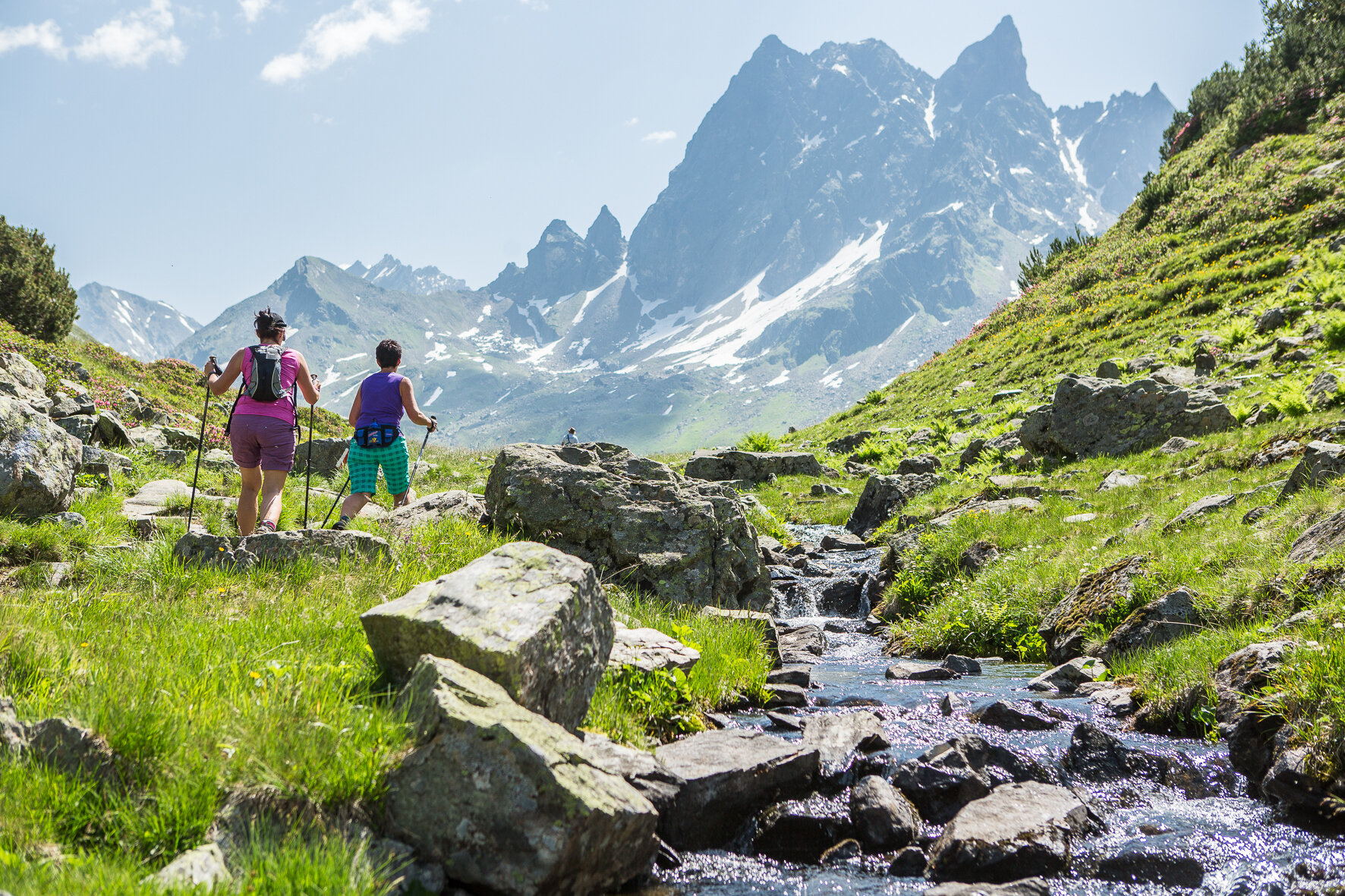
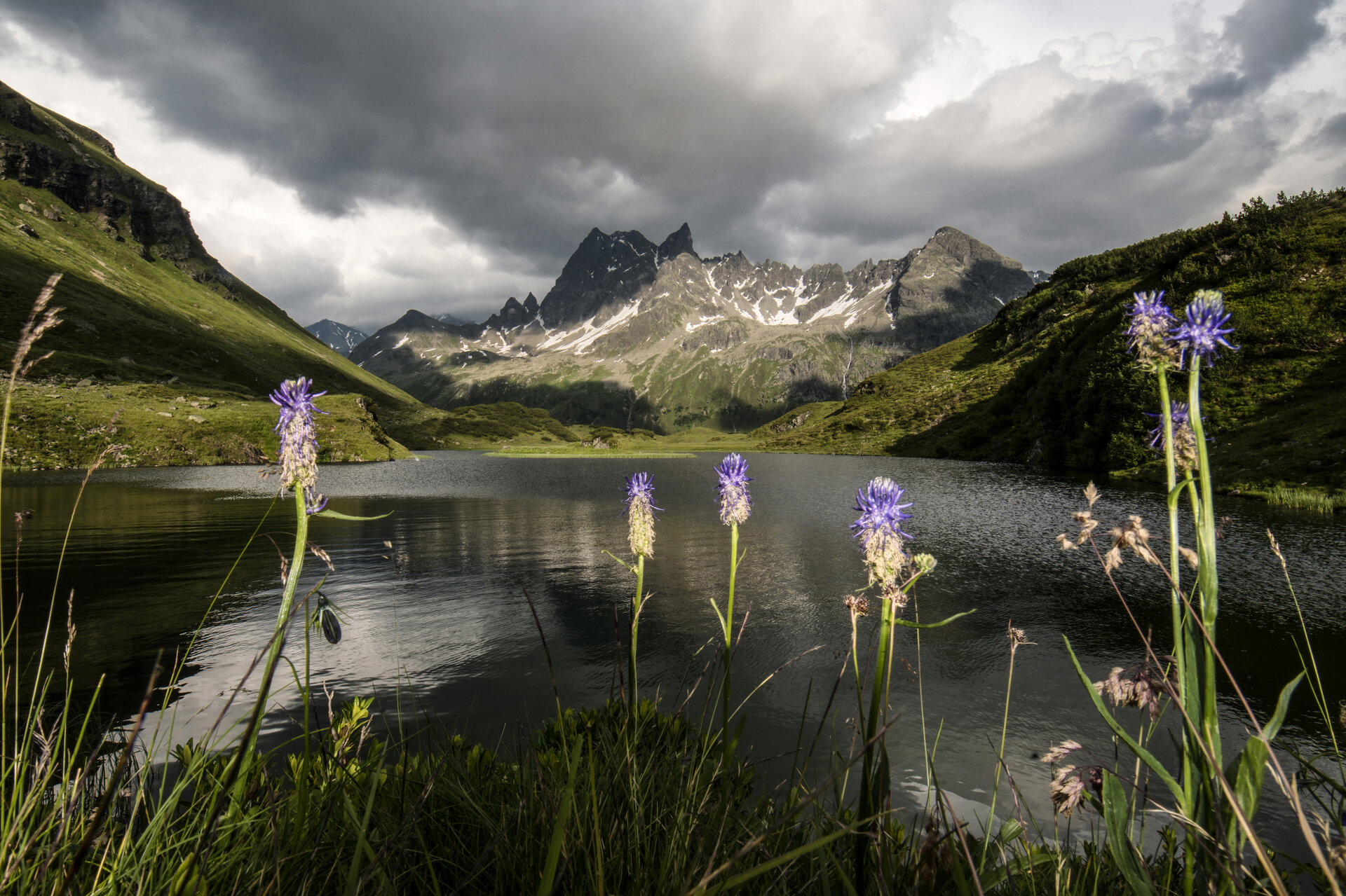
The shorter variant of the Montafon Arlberg Marathon also invites hikers and walkers to a breathtaking day route from St. Anton am Arlberg to Silbertal. The mountain path over the Silbertaler Winterjöchle past Langsee is probably the most beautiful way to cross the state border from Tyrol to Vorarlberg. Past the Fresch Alpe and the Gafluna Alpe, the path leads downstream. Shortly before the destination, the legendary Teufelsbach Waterfall promises a welcome refreshment. Of course, this route can be done all summer long.
Information about the event at http://www.montafon-arlberg-marathon.com