From Tafamunt to the Versalspitze

Difficult
Bergbahnauf-/-abstieg
Mountaineering · Hiking · Bergbahnauf-/-abstieg · Partenen
04:00 h duration
10,1 km Length in km
2487 m Highest point
1684 m Lowest point
917 m gain Ascent
821 m gain Descent
Stamina
Skill
Difficulty
Adventure
Scenery

Tour description

A challenging summit hike from Tafamunt to the Versalspitze, offering sweeping views of the Verwall, Lake Kops, and the glaciated peaks of the Silvretta.

From Tafamunt, the trail leads you across open mountain slopes and past the Versalhaus up to the Jöchli and on to the 2,462-meter-high Versalspitze. At the summit, two very different mountain worlds meet the eye: the pristine Verwall and the striking, partly glaciated peaks of the Silvretta. The descent via the Verbellaalpe to Kopssee turns the summit climb into a varied traverse.

Starting Point - Directions - End Point

Starting Point

Tafamuntbahn Upper Station

Directions

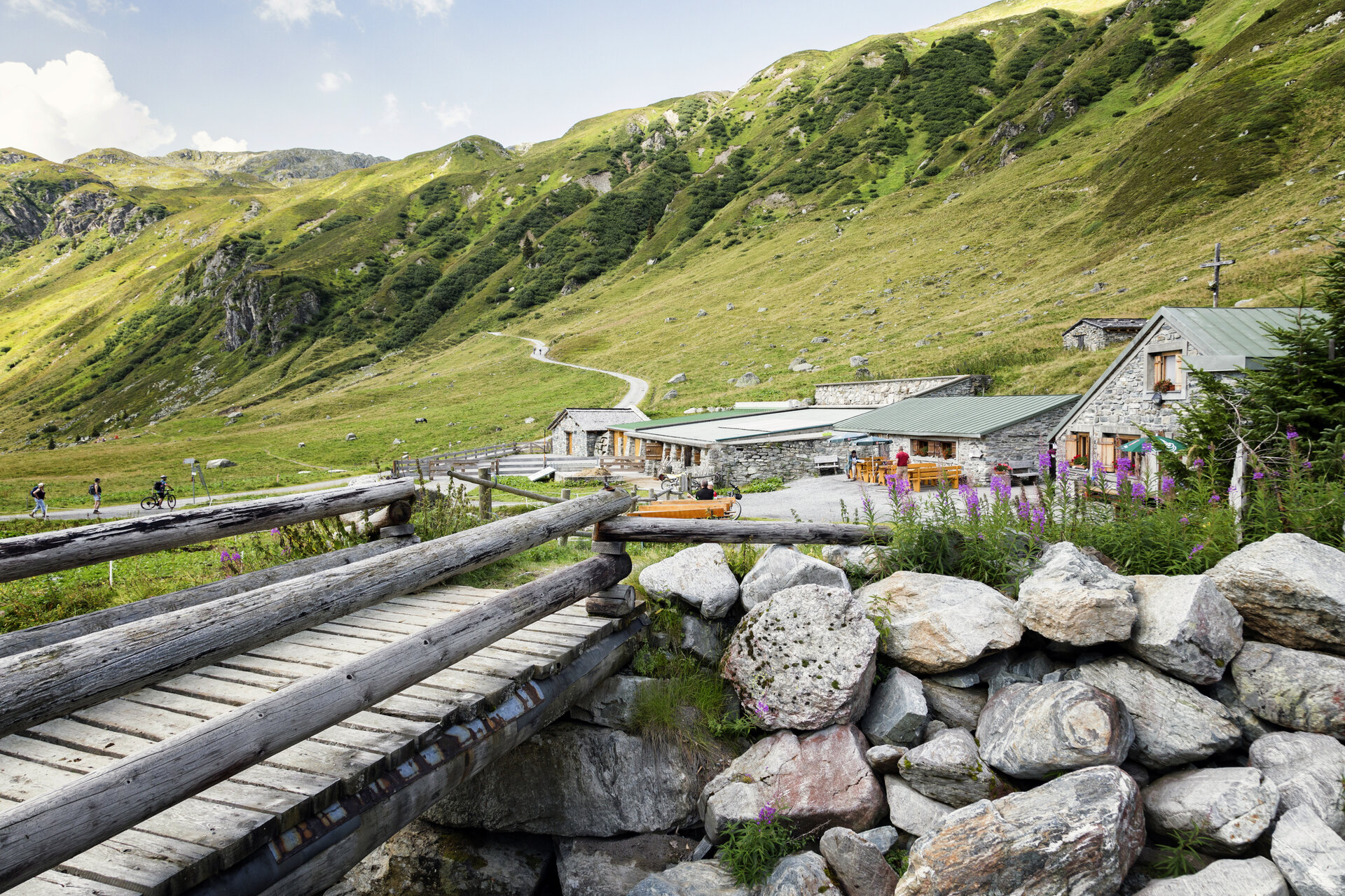
From the Tafamuntbahn Mountain Station II, follow the marked hiking trail uphill toward the Versalspitze. You’ll soon leave the tree line behind and hike through the open mountain landscape above Partenen.

The trail leads steadily uphill, passing the distinctive avalanche barriers. As you gain elevation, the view opens up further and further toward the Silvretta. The summit cross of the Versalspitze comes into view early on.

Continue hiking to the Versalhaus and from there up to the Jöchli at 2,405 meters. At this trail junction, the path to Augstenberg branches off to the left; straight ahead, the route leads toward Verbellaalpe and Kopssee.

To reach the Versalspitze, keep to the right and follow the trail southward. After a short final ascent, you’ll reach the summit cross of the Versalspitze at 2,462 meters.

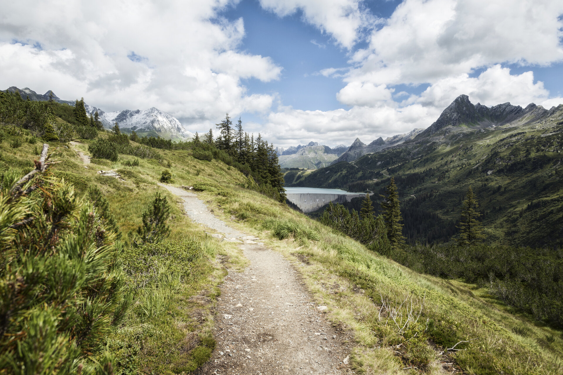
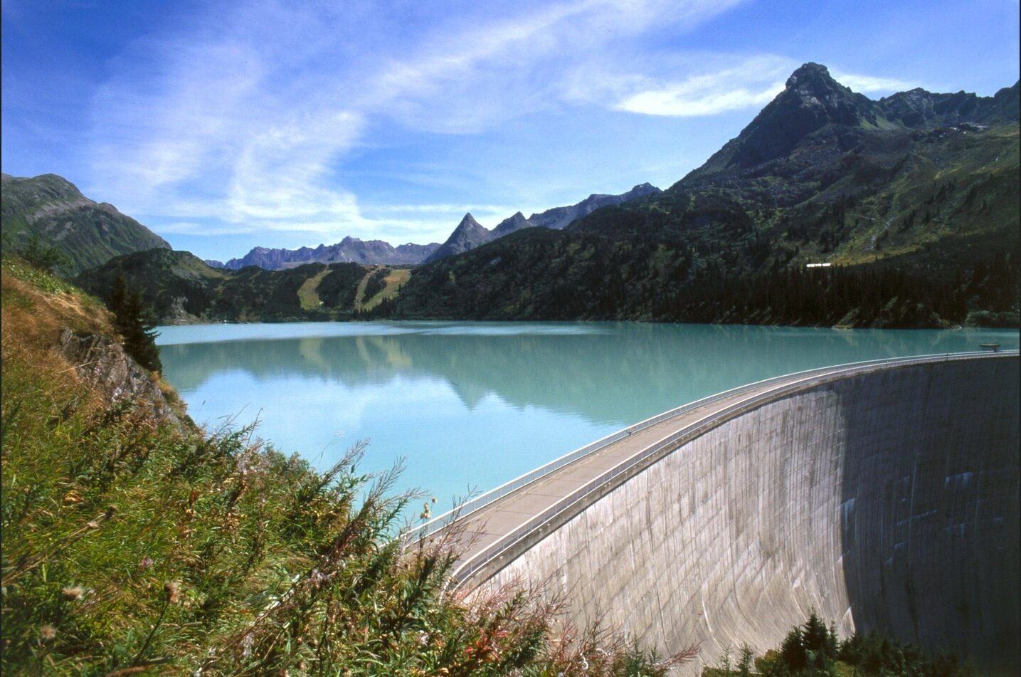
At the summit, an impressive panoramic view opens up. Below you lies Kopssee with its curved dam, while on the horizon the peaks of the Rätikon, the Verwall, and the Silvretta stand opposite one another.

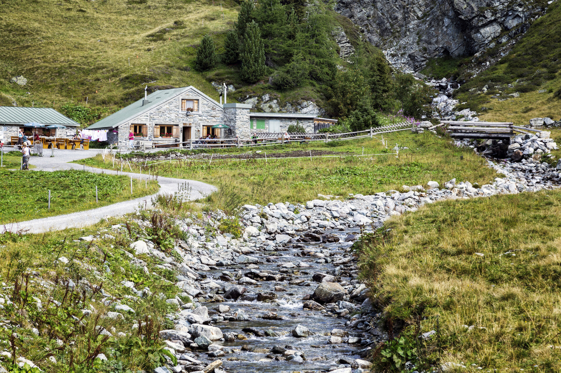
For the descent, first head back along the same trail to the Jöchli. From there, follow the trail toward Verbellaalpe. Hike down through open alpine meadows into the Verbellatal valley and reach the mountain hut.

At the alp, turn onto the trail toward Zeinisjoch.

End Point

Kops / Zeinisjoch

You’ll reach the bus stop at the Zeinisjoch inn. Take the regional bus, Line 260, to continue on to Silvretta-Bielerhöhe.

Bus stop for the Kops–Silvretta-Bielerhöhe route: Kops Gh Zeinisjoch–Bielerhöhe Silvrettasee / Line 260 / Schedule: PVU

From Silvrettasee, you can then take the tunnel bus and the Vermuntbahn back down to the valley.

Please note the information regarding the closure of the Silvretta High Alpine Road

Travel to the starting point and return

The starting point for this hike is the Tafamuntbahn mountain station.

Important for this hike: For hikes to the Versalspitze, the Tafamuntbahn runs from 8:30 a.m. to 9:00 a.m. to Mountain Station II. Please take this time window into account when planning your hike and check the current operating hours of the mountain railway.

By Public Transportation

With the Montafon regional bus and the Montafonerbahn, you can get around the valley comfortably and flexibly. The train and bus connect the towns regularly, every half hour or every hour depending on the route. You can find suitable connections in the cleVVVer mobil schedule app.

The nearest stop is “Partenen Bergbahnen.”

By car

Drive to Partenen to the Tafamuntbahn valley station. The valley stations of the Tafamuntbahn and Vermuntbahn are just a few minutes’ walk apart.

Parking is available near the valley stations. Since the parking situation may change due to construction work, please follow the current on-site signage and check in advance for available parking spaces.

Note: Silvretta High Alpine Road Closure

Since the start and end points of the hike are not the same, you should definitely take the closure of the Silvretta High Alpine Road into account when planning your hike.
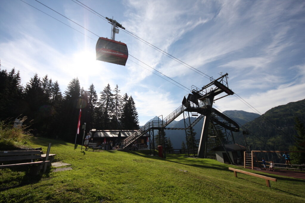
The Silvretta High Alpine Road is expected to remain closed until summer 2030. In summer, you cannot reach the Bielerhöhe from the Montafon by car or public transportation via the High Alpine Road; instead, you’ll need to take the Vermuntbahn from Partenen and then transfer to the tunnel bus.

This also applies to this tour: If you want to return from the endpoint at Kops to Partenen via public transportation, your return journey will take you via the Silvretta-Bielerhöhe, the tunnel bus, and the Vermuntbahn.

You can find more information here.

Important Notes

The hike to the Versalspitze requires good physical conditioning and sure-footedness. You’ll be walking along alpine trails for extended stretches and gaining about 900 meters in elevation.

Sturdy, ankle-high hiking boots, as well as weatherproof clothing, sun protection, and rain gear are essential items of equipment.

Check the current weather and trail conditions before setting out. Especially in early summer, snowfields may still persist at higher elevations. If there is a risk of thunderstorms, poor visibility, or unstable weather conditions, you should refrain from attempting the summit.

Be sure to check the operating hours of the Tafamuntbahn as well as the schedules for the return trip from Kops via the Silvretta-Bielerhöhe, since the tour does not lead back to the starting point.

Be sure to bring enough drinks and food for the entire hike.

Tips

Take your time at the summit: The unique location of the Versalspitze makes for a thrilling panoramic view. As you stand in the heart of the Verwall, your gaze is immediately drawn to the much more rugged and glaciated Silvretta.

Kopssee from above: From the summit, Kopssee reveals itself from an unusual perspective. Its curved dam wall is particularly striking.

A stop at the Verbellaalpe: On the descent, the Verbellaalpe, which is open to the public, is a great place to take a break. Regional milk and cheese products make this stop a fitting way to end your day after reaching the summit.

Plan your return trip: Before you set out, check the connections from Kops as well as the operating hours of the tunnel bus and the Vermuntbahn. This ensures you’ll have enough time to return to Partenen at the end of your day in the mountains.

Sicherheitstipps für Wandern in Vorarlberg

EN NOTRUF:

EN 140 - Alpine Notfälle österreichweit 

EN 144 - Alpine Notfälle Vorarlberg 

EN 112 - Euro-Notruf (funktioniert mit jedem Handy/Netz) 

Properties
Route type Mountaineering, Hiking, Bergbahnauf-/-abstieg
Difficulty Difficult
Start Alpstöbli Tafamunt
Finish Alpengasthof Zeinisjoch
Elevation profile
Best months
Jan
Feb
Mar
Apr
May
Jun
Jul
Aug
Sep
Oct
Nov
Dec