Silvretta​-​Bielerhöhe via the Saarbrücker Hütte to Lake Vermunt

Moderate
Einkehrmöglichkeit
Hiking · Refreshment stops · Partenen
04:09 h duration
10,9 km Length in km
2529 m Highest point
1752 m Lowest point
607 m gain Ascent
884 m gain Descent
Stamina
Skill
Difficulty
Adventure
Scenery

Tour description

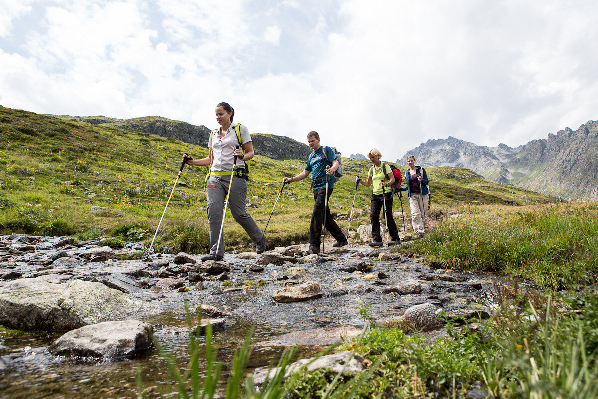
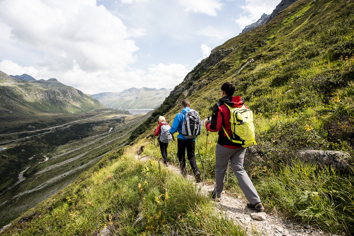
A varied high-alpine hike from Silvretta-Bielerhöhe over the Tschiffernella to the Saarbrücker Hütte and through the Kromertal down to Lake Vermunt.

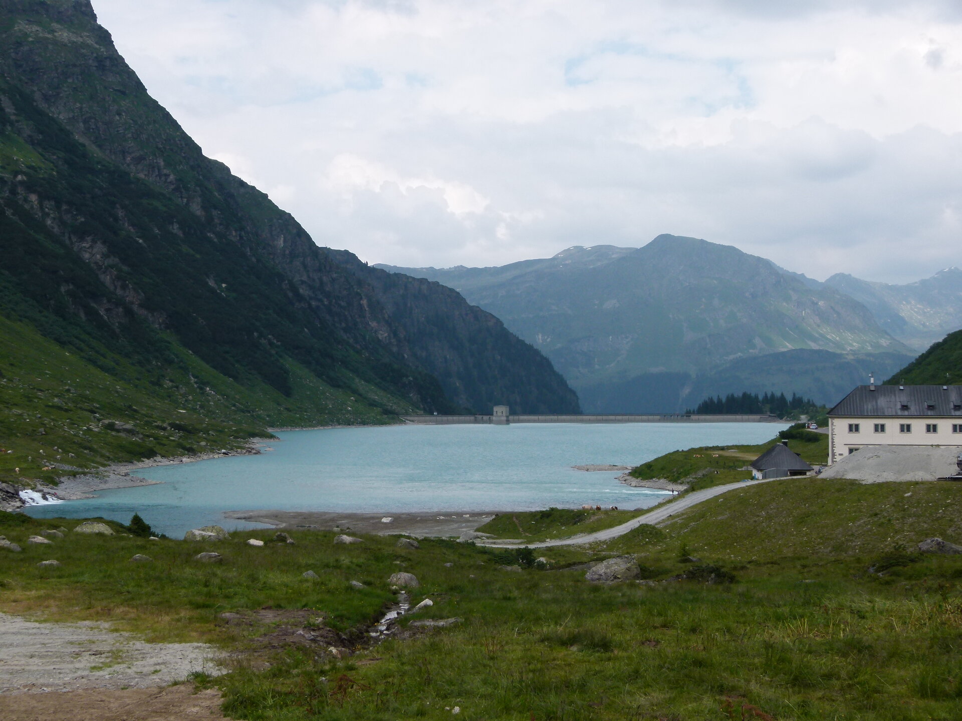
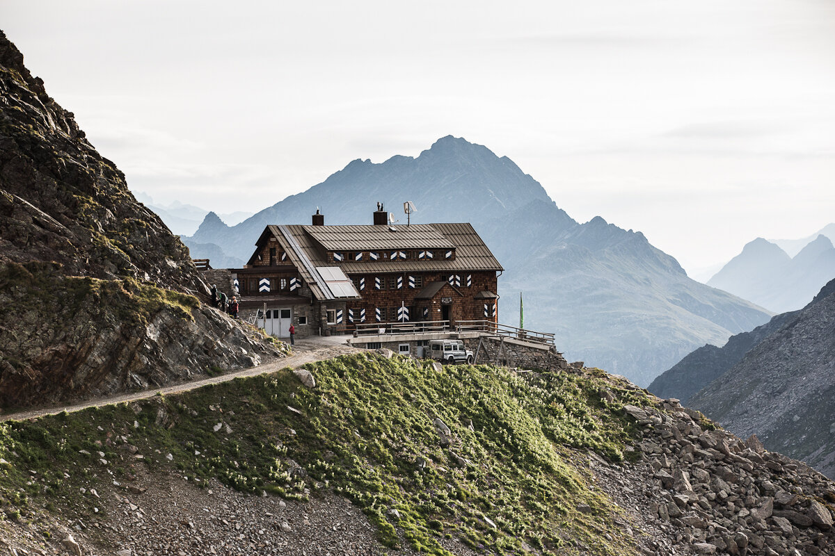
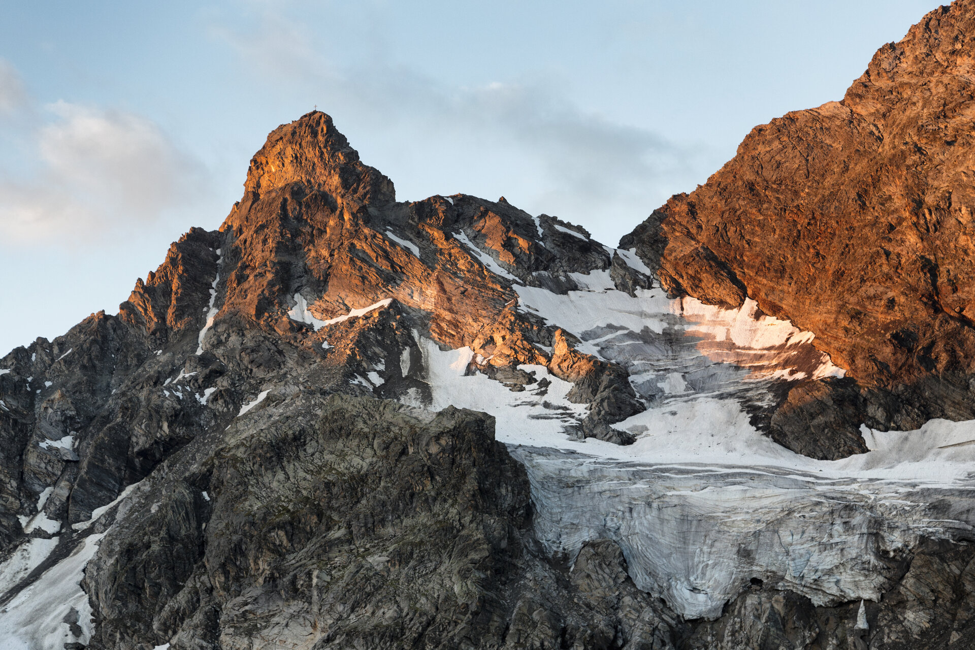
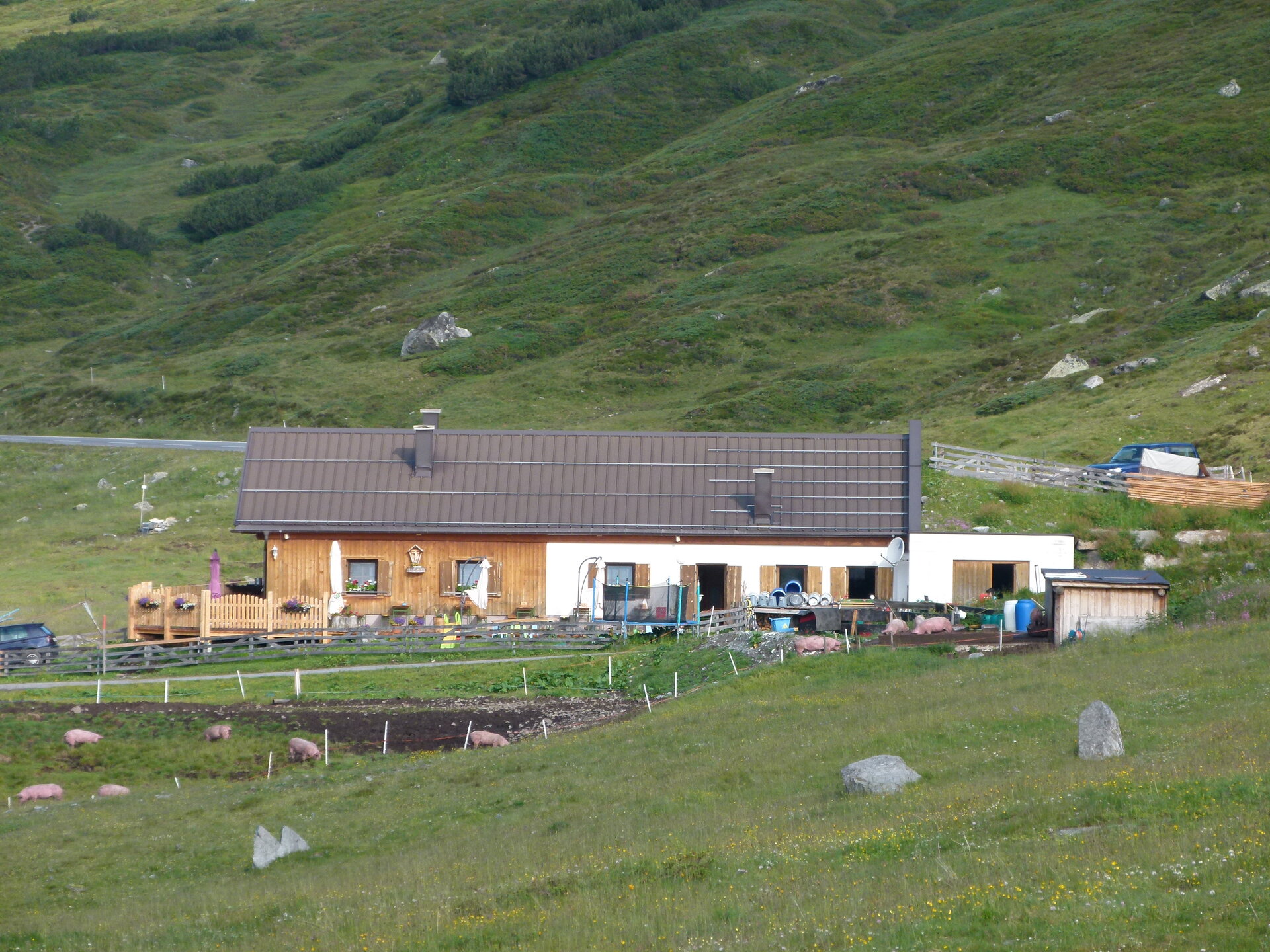
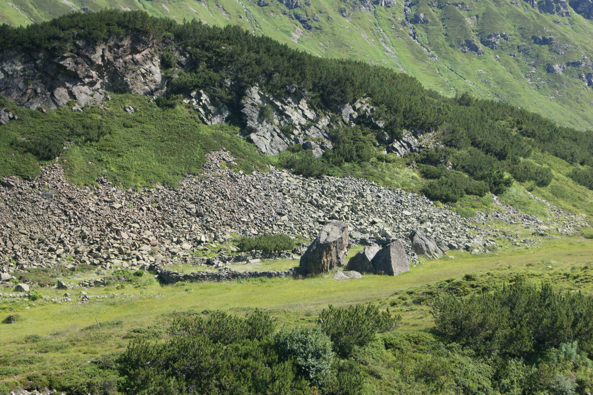
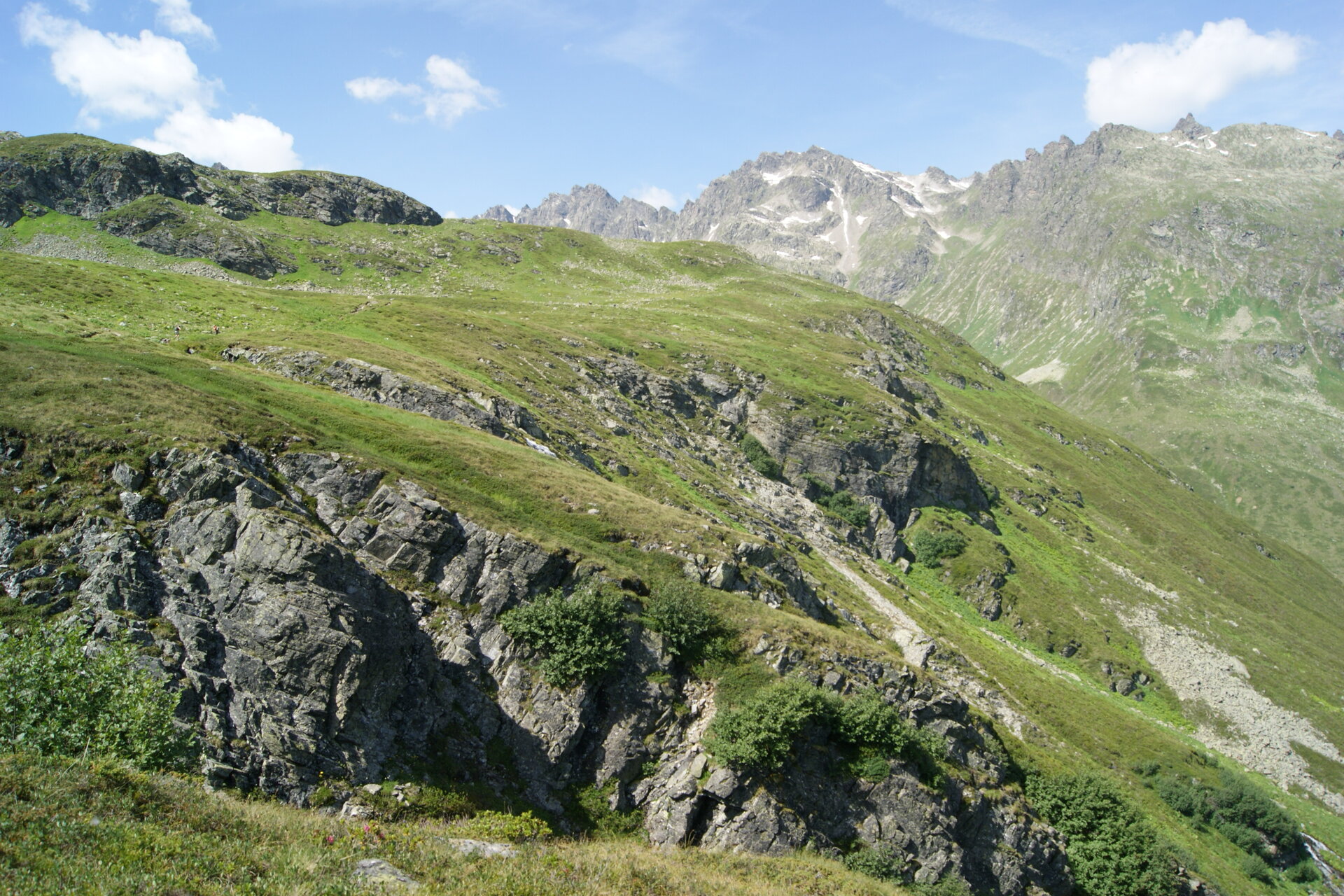
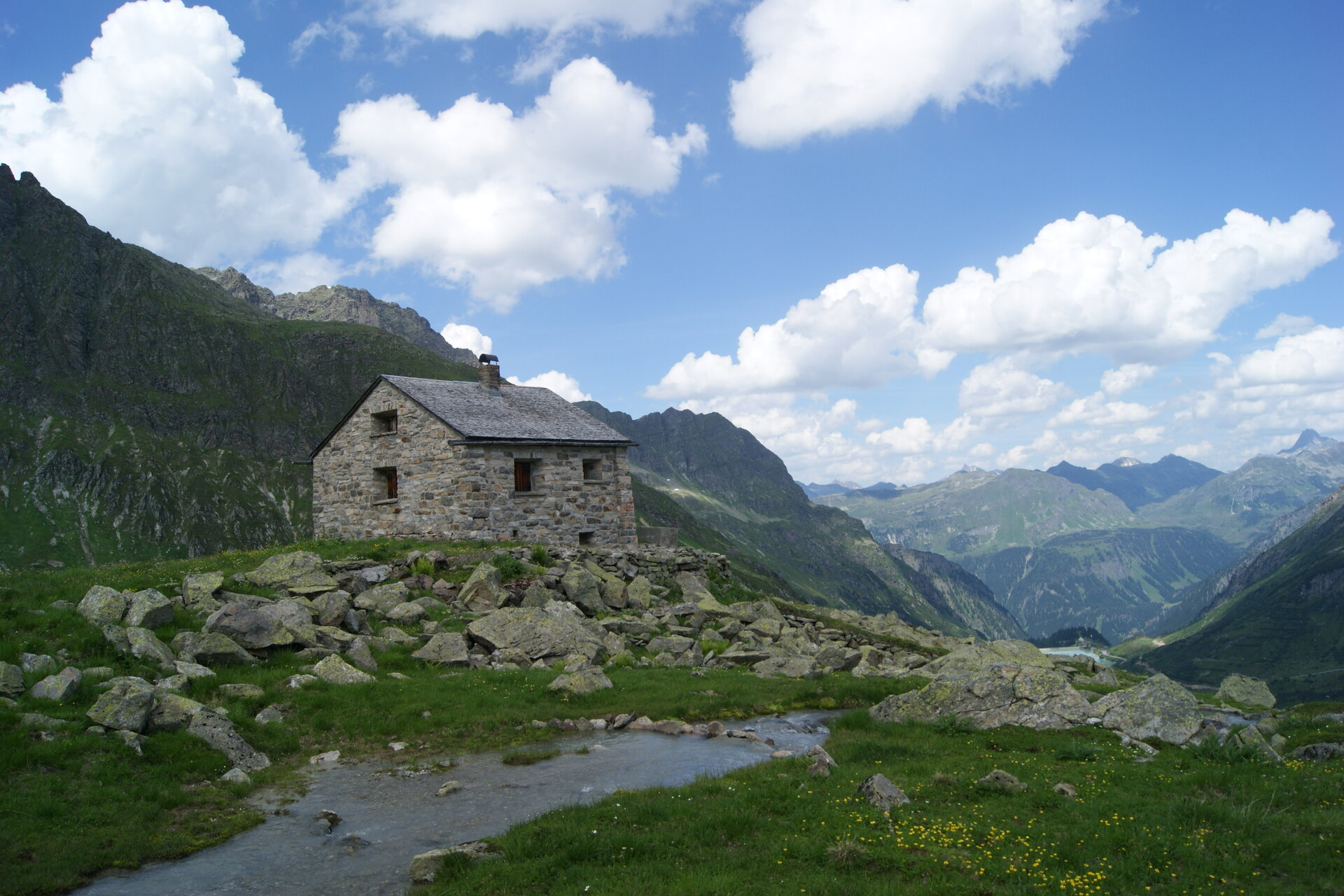
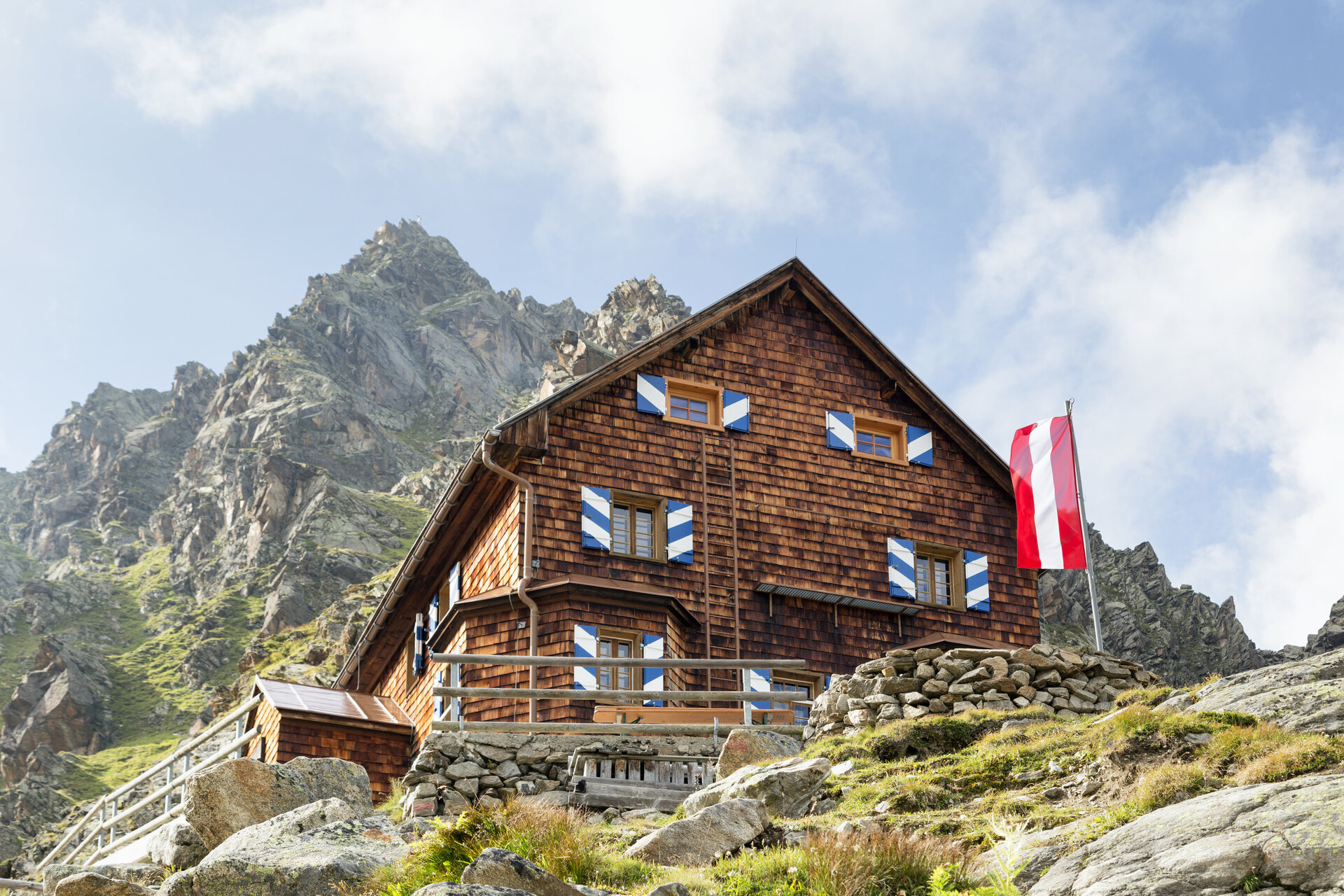
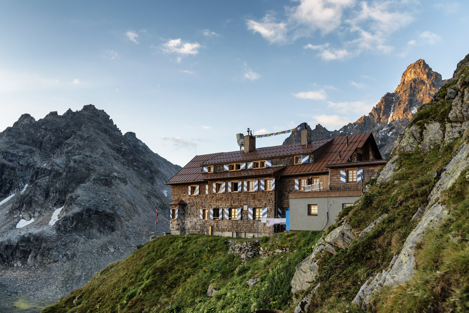
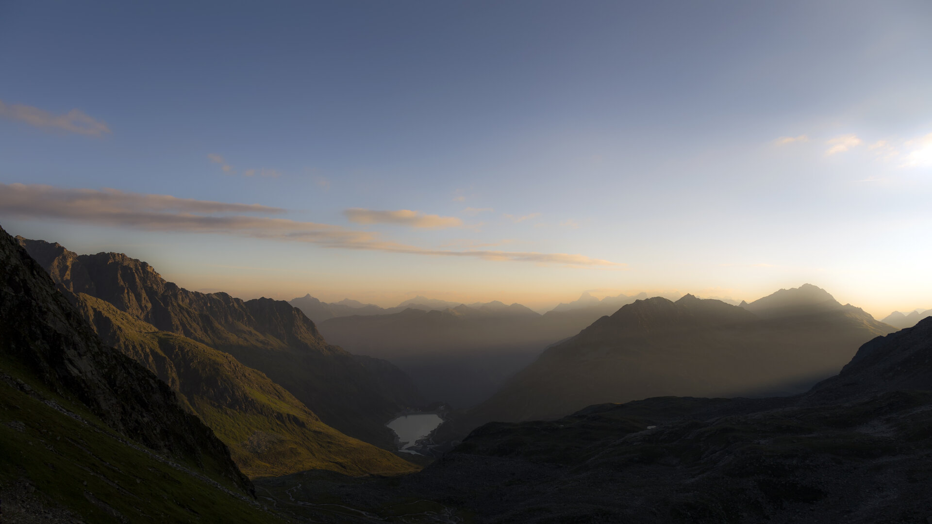
From the Silvretta-Bielerhöhe, you’ll first hike downhill to the Madlenerhaus and continue toward the Großvermuntalpe, before the trail climbs at Tschiffernella and leads you through a moraine landscape shaped by the glacier—dotted with small mountain lakes—to the Saarbrücker Hütte. Along the way, you’ll be treated to sweeping views of the Hochmaderer and Lake Vermunt, lying far below you. From the Saarbrücker Hütte, you’ll descend past the Zollwachhütte through the Kromertal valley to Lake Vermunt.

Starting Point - Directions - End Point

Starting Point
Silvretta-Bielerhöhe

Route Description
Silvretta-Bielerhöhe – Madlenerhaus – Großvermuntalpe – Tschiffernella – Saarbrücker Hütte – Zollwachhütte – Kromertal – Vermuntsee

End point
Vermuntsee

Getting to the starting point

The Silvretta High Alpine Road is expected to remain closed until summer 2030. Therefore, in the summer, you cannot reachthe Bielerhöhe from the Montafon by car or public transportation via the High Alpine Road; instead, you must take the Vermuntbahn from Partenen and then the tunnel bus.

You can find more information here.

By Public Transportation

With the Landbus Montafon and the Montafonerbahn, you can travel comfortably and flexibly throughout the valley. The train and bus connect the towns regularly, every half hour or every hour depending on the route. You can find suitable connections in the cleVVVer mobil schedule app. The nearest stop is “Partenen Bergbahnen Talstation.” From there, you can reach the Vermuntbahn valley station in just a few minutes on foot.

By car

By car, drive to Partenen to the valley stations of the Vermuntbahn or Tafamuntbahn. The two valley stations are only a few minutes’ walk apart. Parking is available near the valley stations.

Important Information

For this challenging mountain hike, we recommend that you bring the right gear: a daypack with a rain cover, sturdy and comfortable footwear, weather-appropriate and durable clothing layered according to the "layering principle," telescoping hiking poles if needed, sun and rain protection, snacks and plenty of drinking water, a first-aid kit, a pocket knife, a cell phone, a headlamp if needed, and maps.

Useful tips

A quick detour to the Großvermuntalpe is well worth it if you want to try regional alpine products.

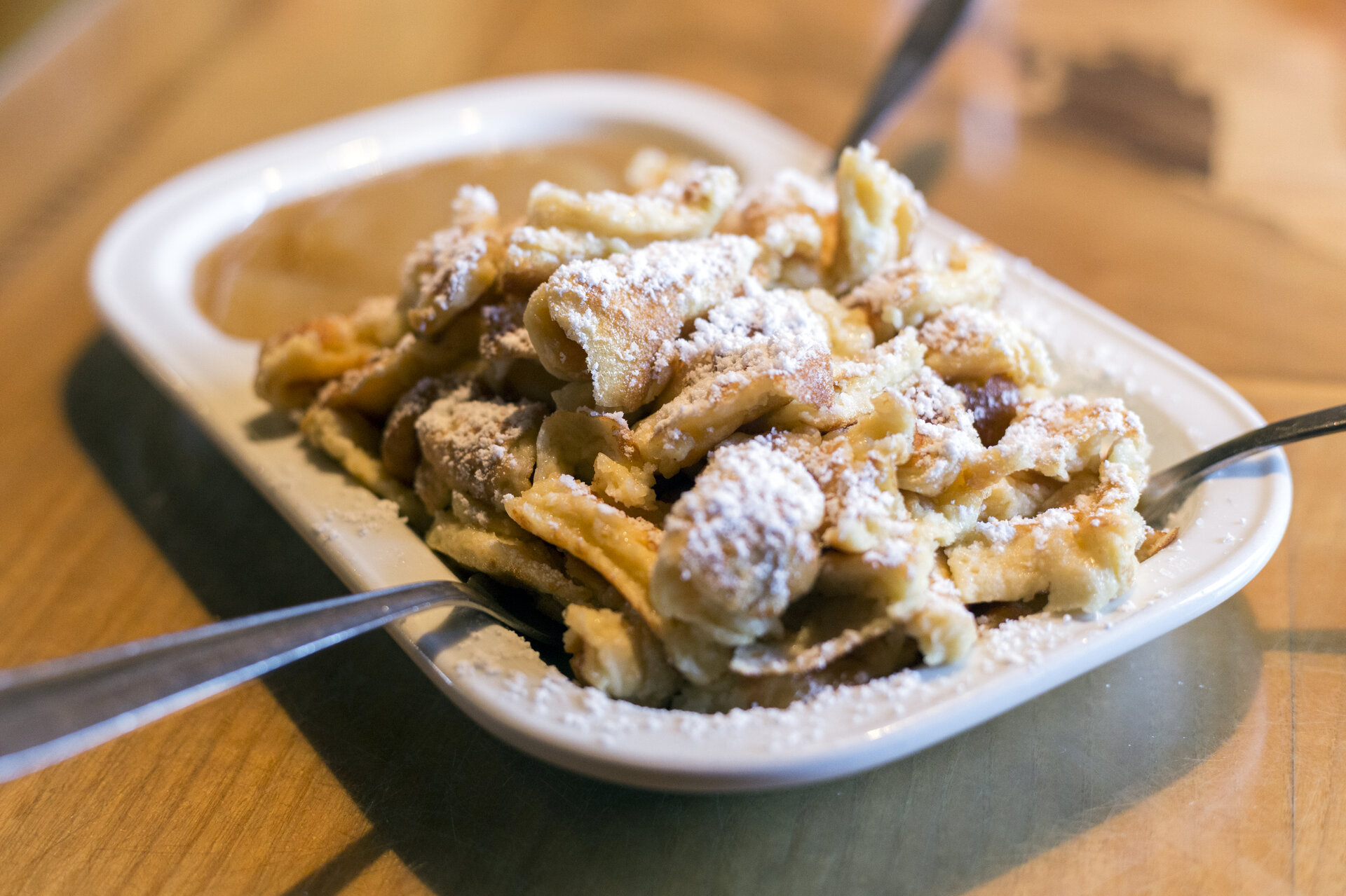
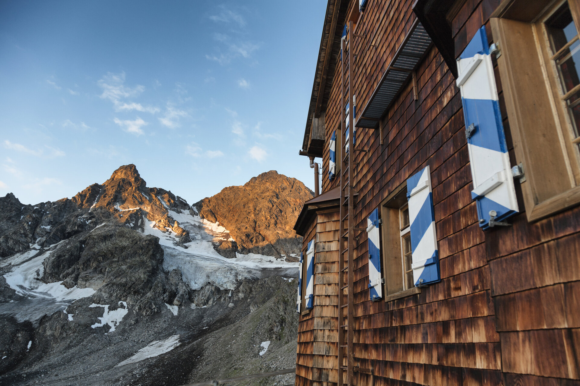
The Saarbrücker Hütte is a great spot for a long break. The Kaiserschmarrn, in particular, is a pretty convincing way to recover from the climb after gaining elevation.

The hike can also be done in the opposite direction, starting at Vermuntsee and heading via the Saarbrücker Hütte to Silvretta-Bielerhöhe. Keep in mind that the elevation gain, walking times, and the difficulty of the ascent and descent will change accordingly.

Sicherheitstipps für Wandern in Vorarlberg

EN NOTRUF:

EN 140 - Alpine Notfälle österreichweit 

EN 144 - Alpine Notfälle Vorarlberg 

EN 112 - Euro-Notruf (funktioniert mit jedem Handy/Netz) 

Properties
Route type Hiking, Refreshment stops
Difficulty Moderate
Start Silvretta-Bielerhöhe
Finish Vermuntsee
Elevation profile
Best months
Jan
Feb
Mar
Apr
May
Jun
Jul
Aug
Sep
Oct
Nov
Dec