Vergaldaalp Tour

Difficult
Einkehrmöglichkeit
(E-)Mountainbiken · Refreshment stops
03:30 h duration
26,0 km Length in km
1820 m Highest point
816 m Lowest point
1004 m gain Ascent
1004 m gain Descent
Stamina
Skill
Difficulty
Adventure
Scenery

Tour description

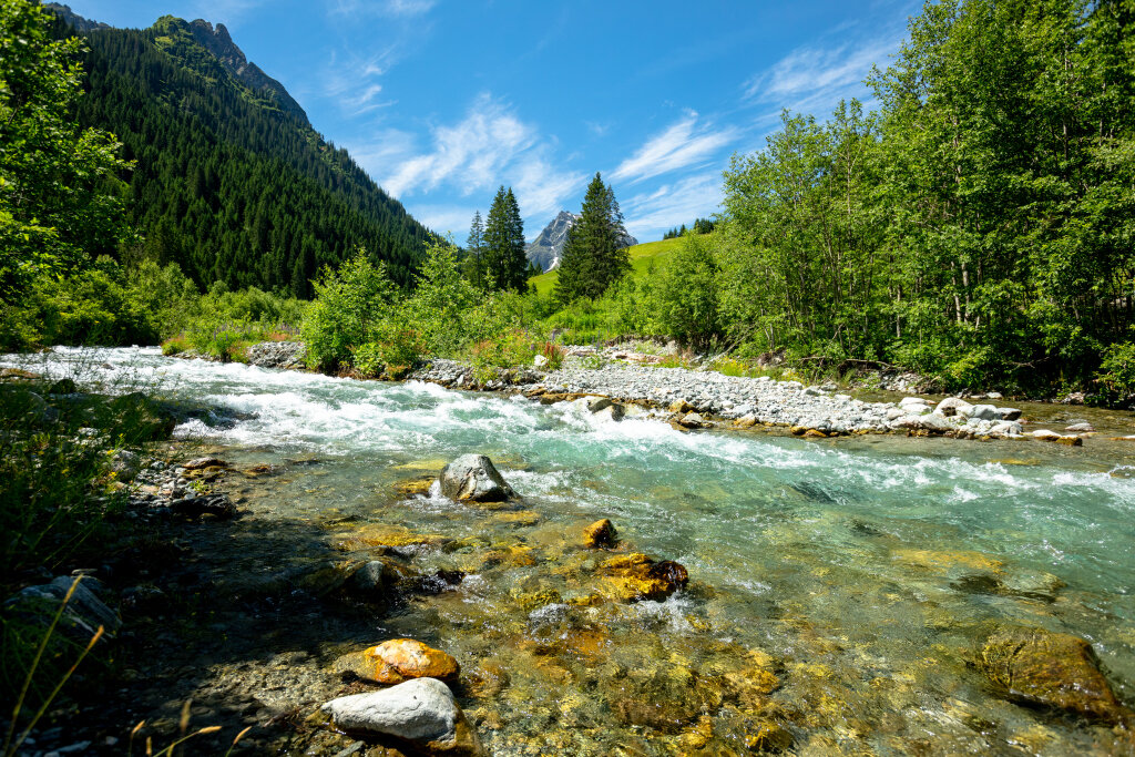
This route leads from St. Gallenkirch to Gargellen and from there to the Vergaldaalp.

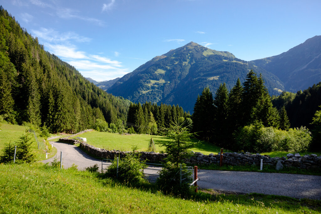
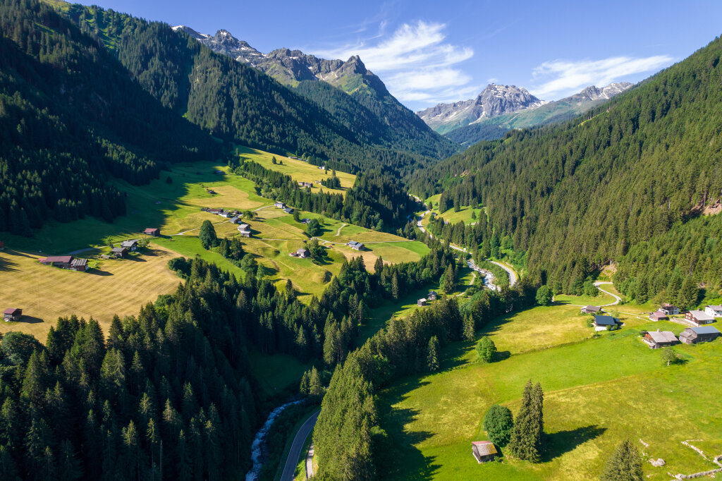
From St. Gallenkirch it goes up to Gargellen. The highest mountain village of Montafon, at 1,423 meters above sea level, presents itself in an original and natural way. Here you can enjoy the unique Montafon mountain world in relaxing peace. Near the Swiss border, the imposing Madrisa dominates the alpine valley end. Due to a continuous incline of about 10% - without significant flat sections - this route is quite demanding. Upon reaching Gargellen, the path continues through the idyllic Vergaldatal to the Vergaldaalp, where you can refresh yourself with local delicacies.

Directions

From St. Gallenkirch - to Gargellen - and from there into the Vergaldatal to the Vergaldaalp - return on the same path.

Equipment

Bicycle helmet, day backpack (approx. 20 liters) with rain cover, comfortable sports shoes, optionally cycling shoes, weather-appropriate and durable clothing in a layered system, optionally cycling jersey, optionally cycling gloves, pump, bicycle tools, sun and rain protection, provisions and drinking water, water bottle and suitable holder, first aid kit, pocket knife, mobile phone, optionally mobile phone holder for the handlebar, optionally headlamp and reflectors, map material

Destination

Silvretta Park Montafon (Valisera Bahn valley station)

Starting Point

Silvretta Park Montafon (Valisera Bahn valley station)

Sicherheitstipps für Mountainbike in Vorarlberg

NOTRUF:

140 Alpine Notfälle österreichweit 

144 Alpine Notfälle Vorarlberg 

112 Euro-Notruf (funktioniert mit jedem Handy/Netz) 

Properties
Route type (E-)Mountainbiken, Refreshment stops
Difficulty Difficult
Elevation profile
Best months
Jan
Feb
Mar
Apr
May
Jun
Jul
Aug
Sep
Oct
Nov
Dec