Saulakopf via ferrata

Moderate
open
Rundtour
Bergbahnauf-/-abstieg
Mountaineering · Klettersteig · Bergbahnauf-/-abstieg · Round trip · Vandans
05:30 h duration
7,98 km Length in km
2517 m Highest point
1970 m Lowest point
831 m gain Ascent
832 m gain Descent
Stamina
Difficulty
Adventure
Scenery

Tour description

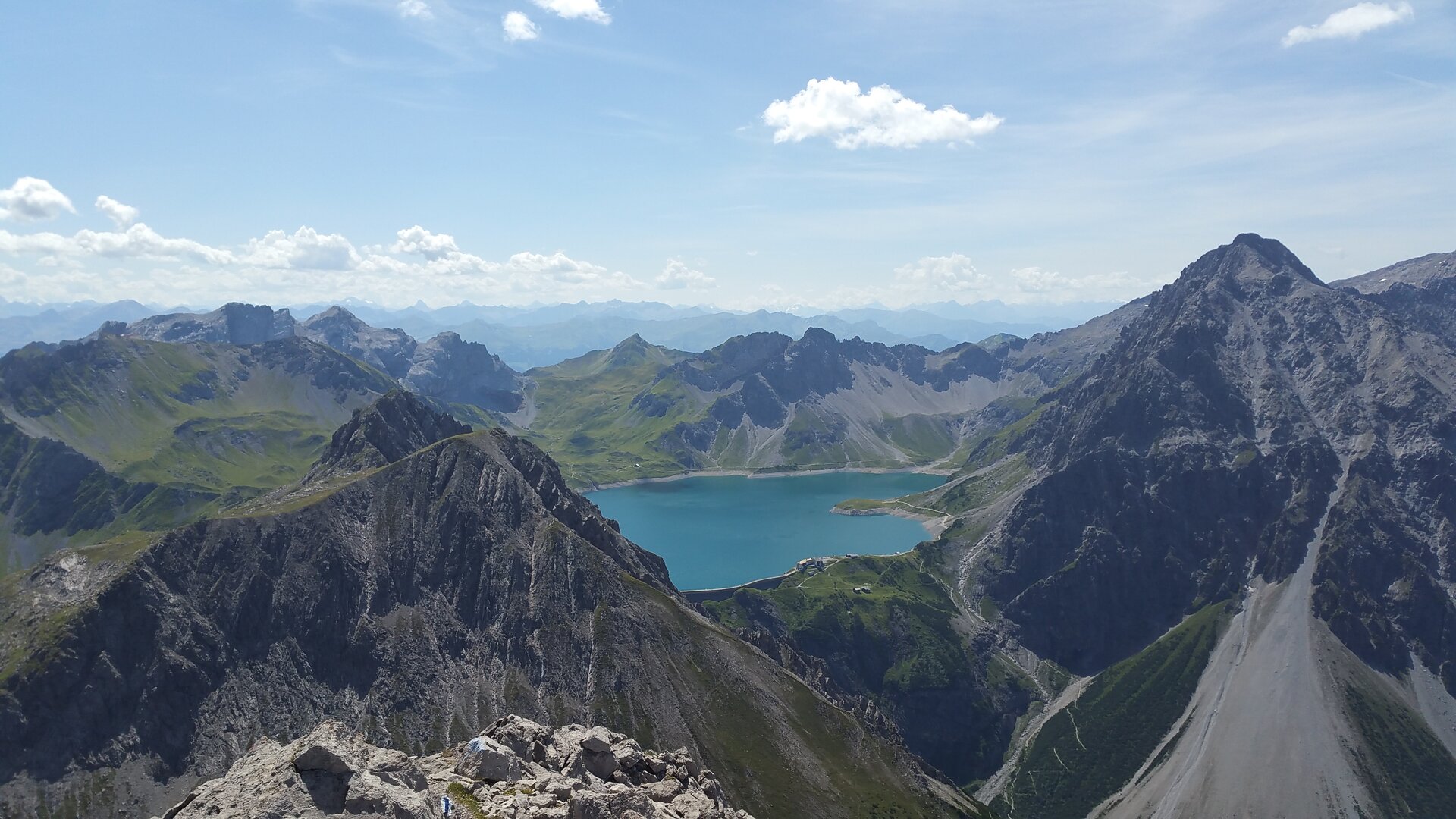
Due to its bold route guidance and the fantastic view, the Saulakopf via ferrata is one of the most beautiful routes in Montafon.

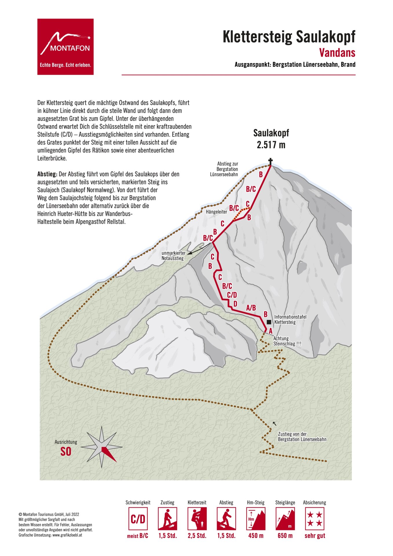
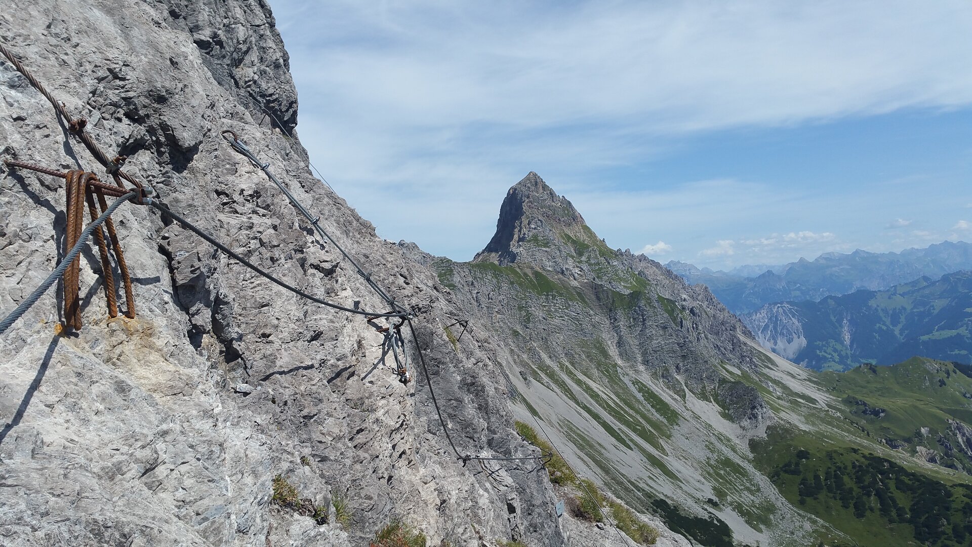
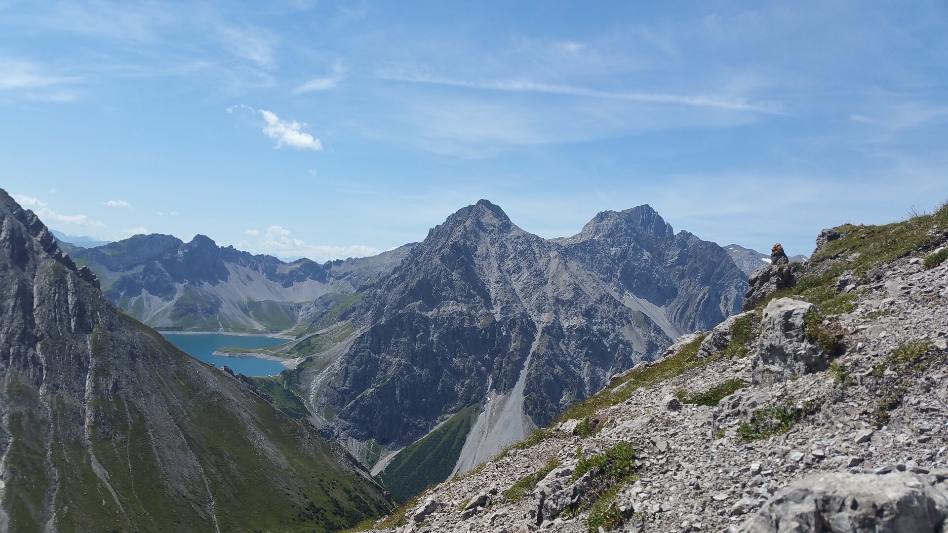
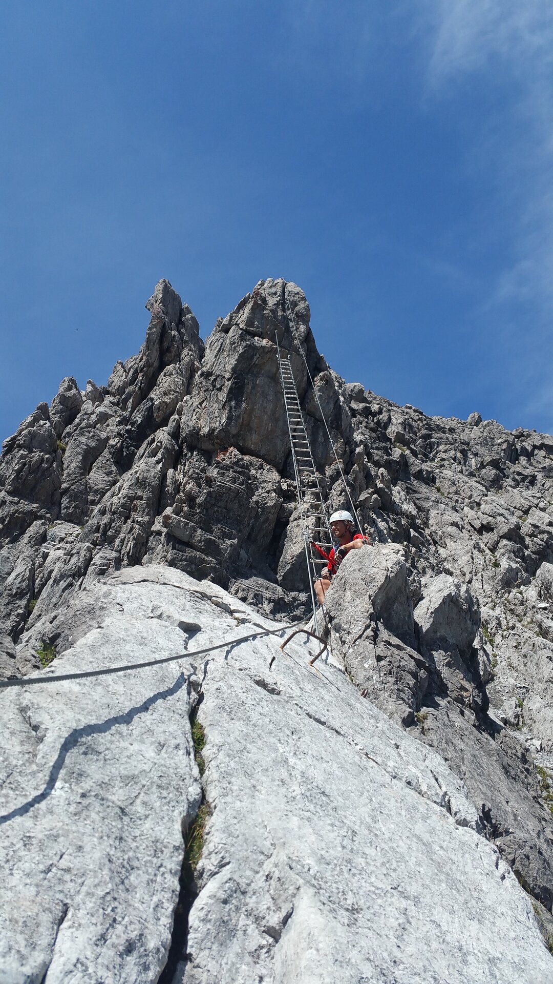
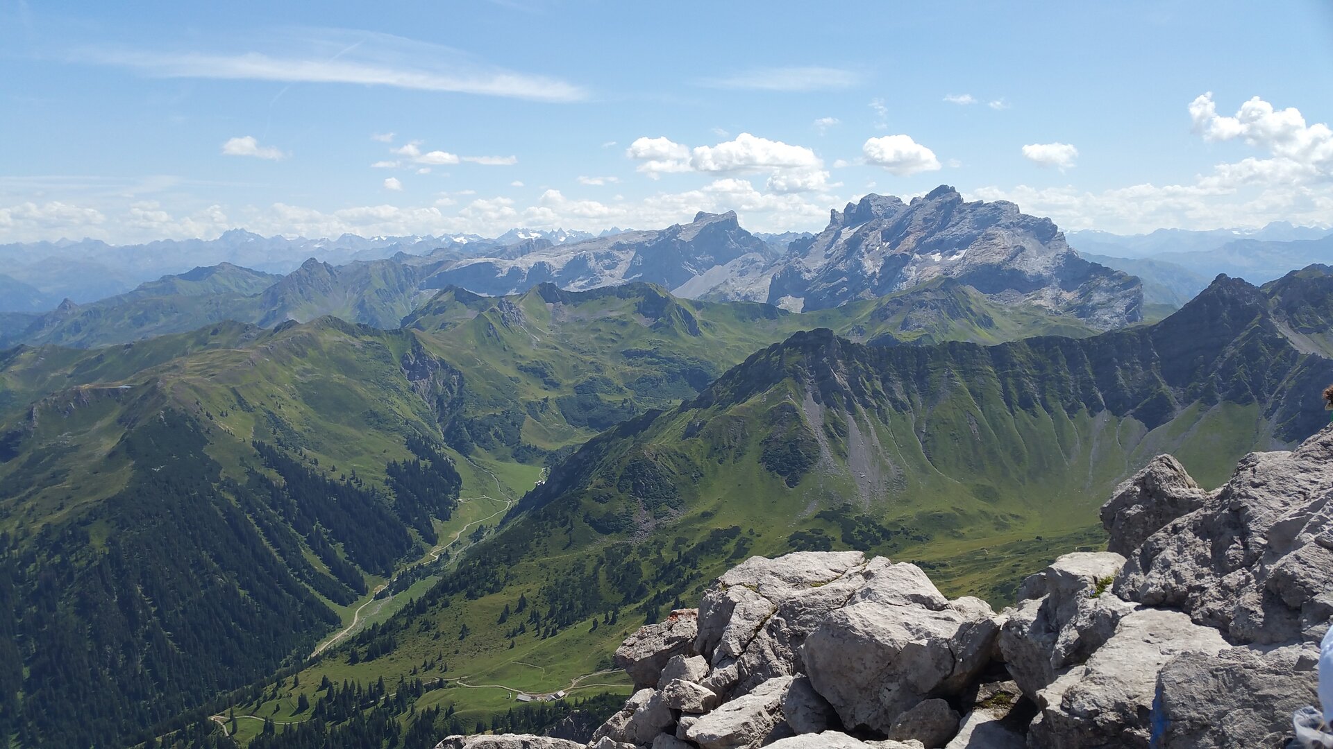
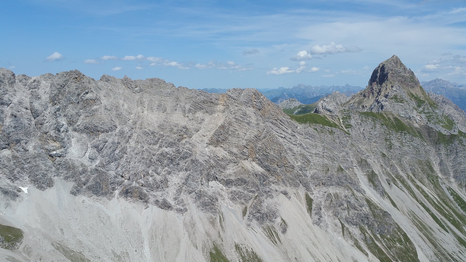
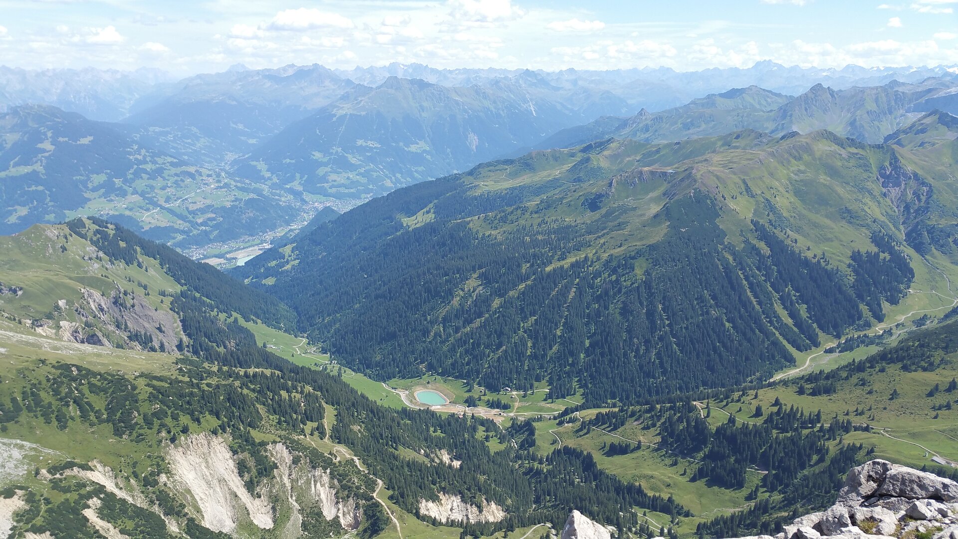
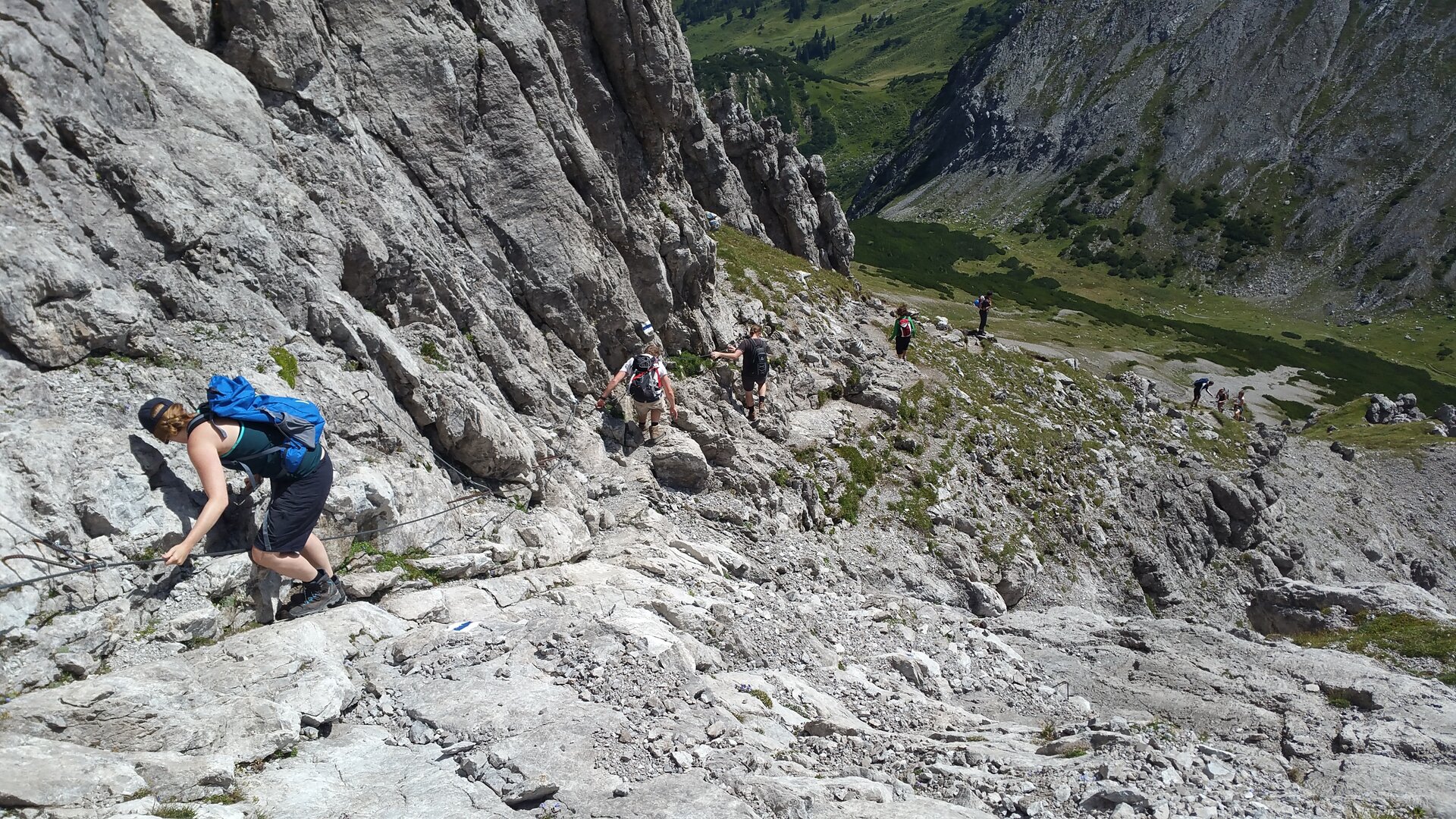
The via ferrata crosses the mighty east face of the Saulakopf, leads boldly directly through the steep wall, and then follows the exposed ridge to the summit. Under the overhanging east face, the key point awaits you with a strenuous steep section (C/D) – exit options are available. Along the ridge, the route scores with a great view of the surrounding Rätikon peaks as well as an adventurous ladder bridge.

Access - Directions - Descent

Access

The quickest approach is from the Douglass Hut, located directly at the Lünerseebahn mountain station. From there, follow the sign for “Saulajoch” over the dam and then descend slightly along the Saulajochsteig trail to the Saulajoch.

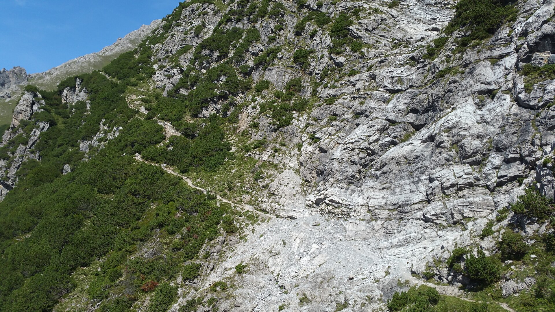
At the Saulajoch, a sign reading “Saulakopf via ferrata to the start: 10 min.” points toward the Heinrich Hueter Hut. Continue along this path until you reach the base of the east face of the Saulakopf. Just before the Heinrich Hueter Hut comes into view, you’ll reach a signposted fork in the trail. There, a path branches off to the left toward the start of the Saulakopf via ferrata. Watch out for falling rocks!

Alternatively, you can choose the approach via the Rellstal. From the Alpengasthof Rellstal, which you can reach by hiking bus from Vandans, the trail leads past the Heinrich Hueter Hut and continues to the base of the east face of the Saulakopf. Here, too, a signposted path branches off to the start of the via ferrata.

Route description

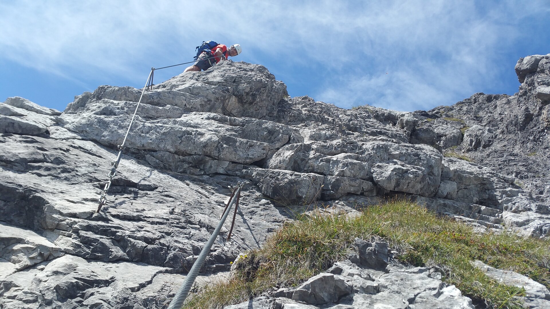
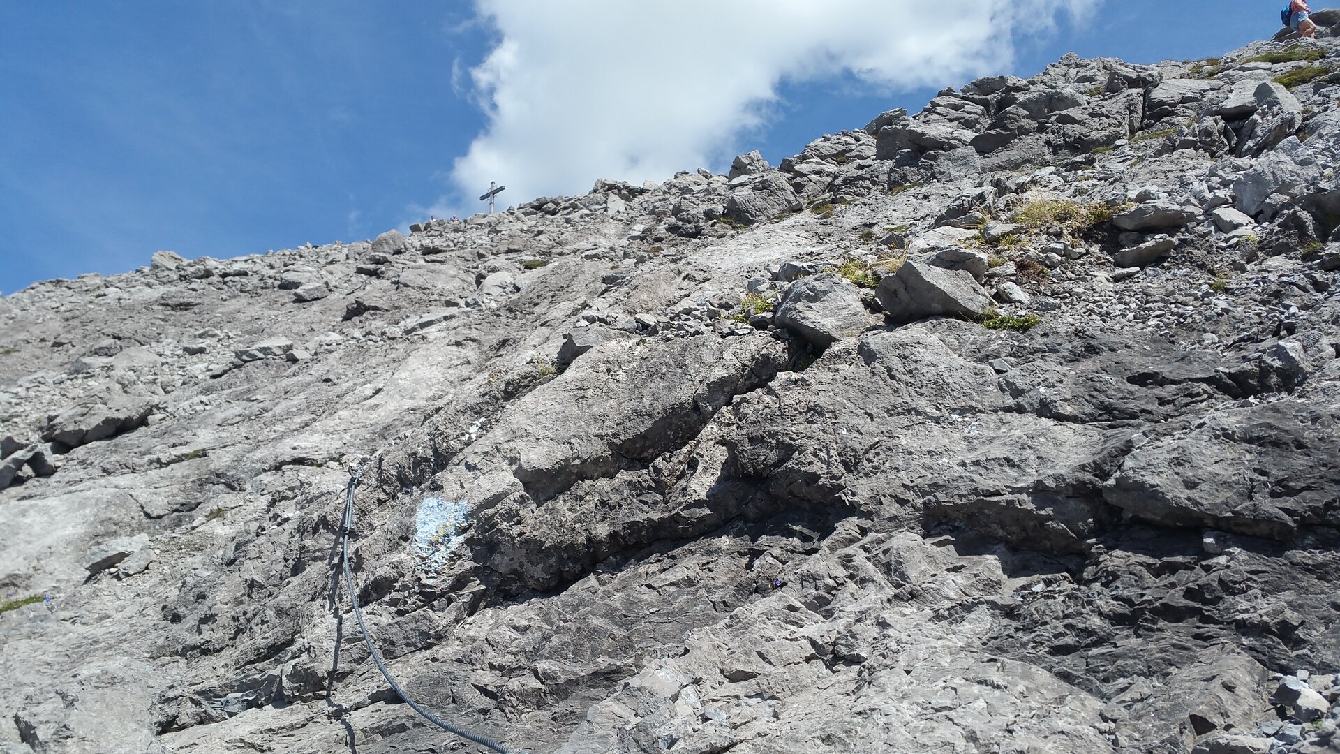
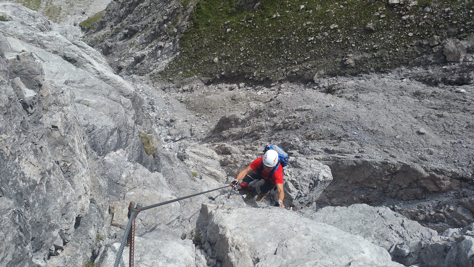
The crux comes shortly after the start: a slightly overhanging, approximately 15-meter-high wall must be climbed. After that, the steel cable continues, often vertically and exposed, toward the summit.

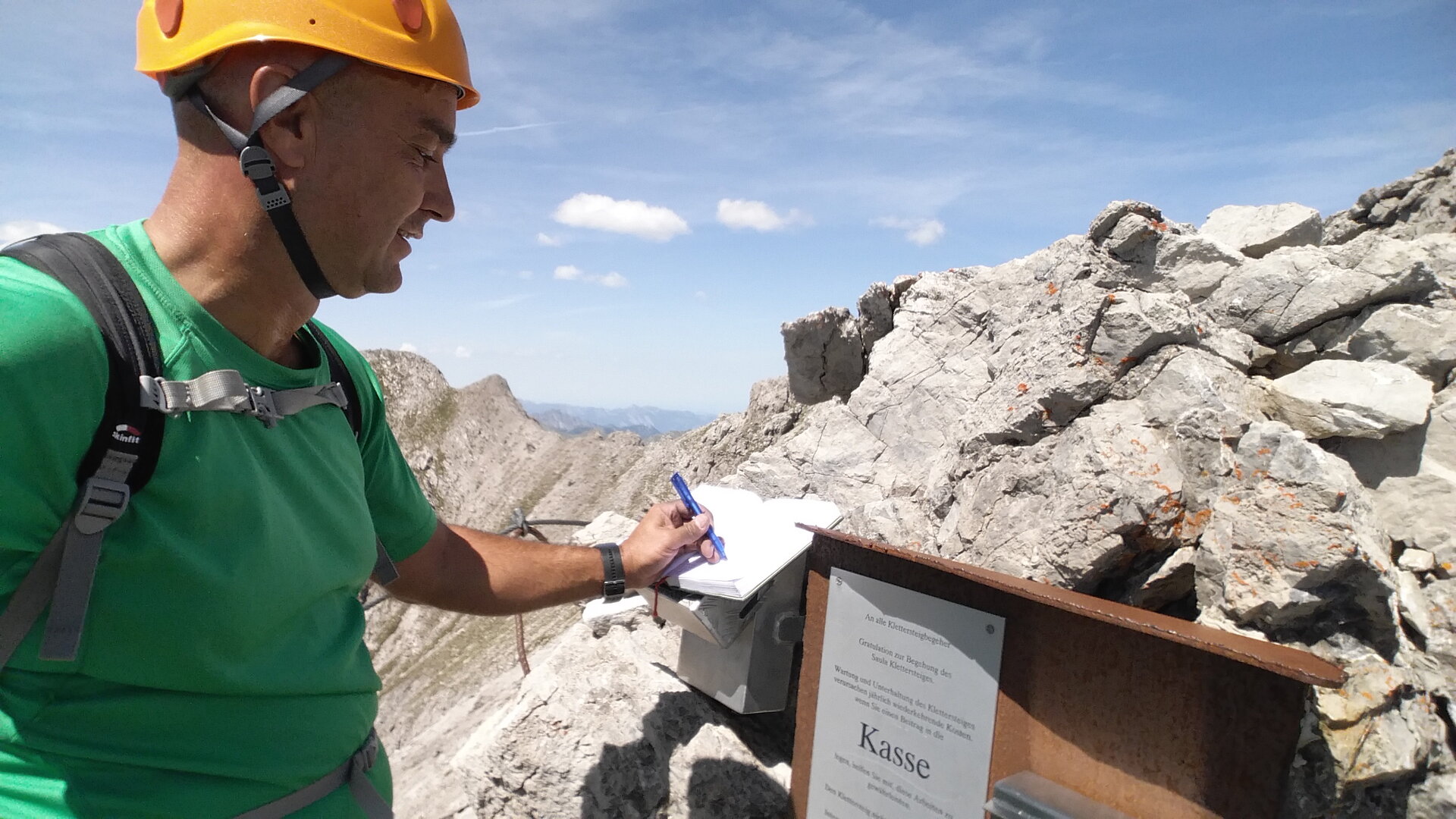
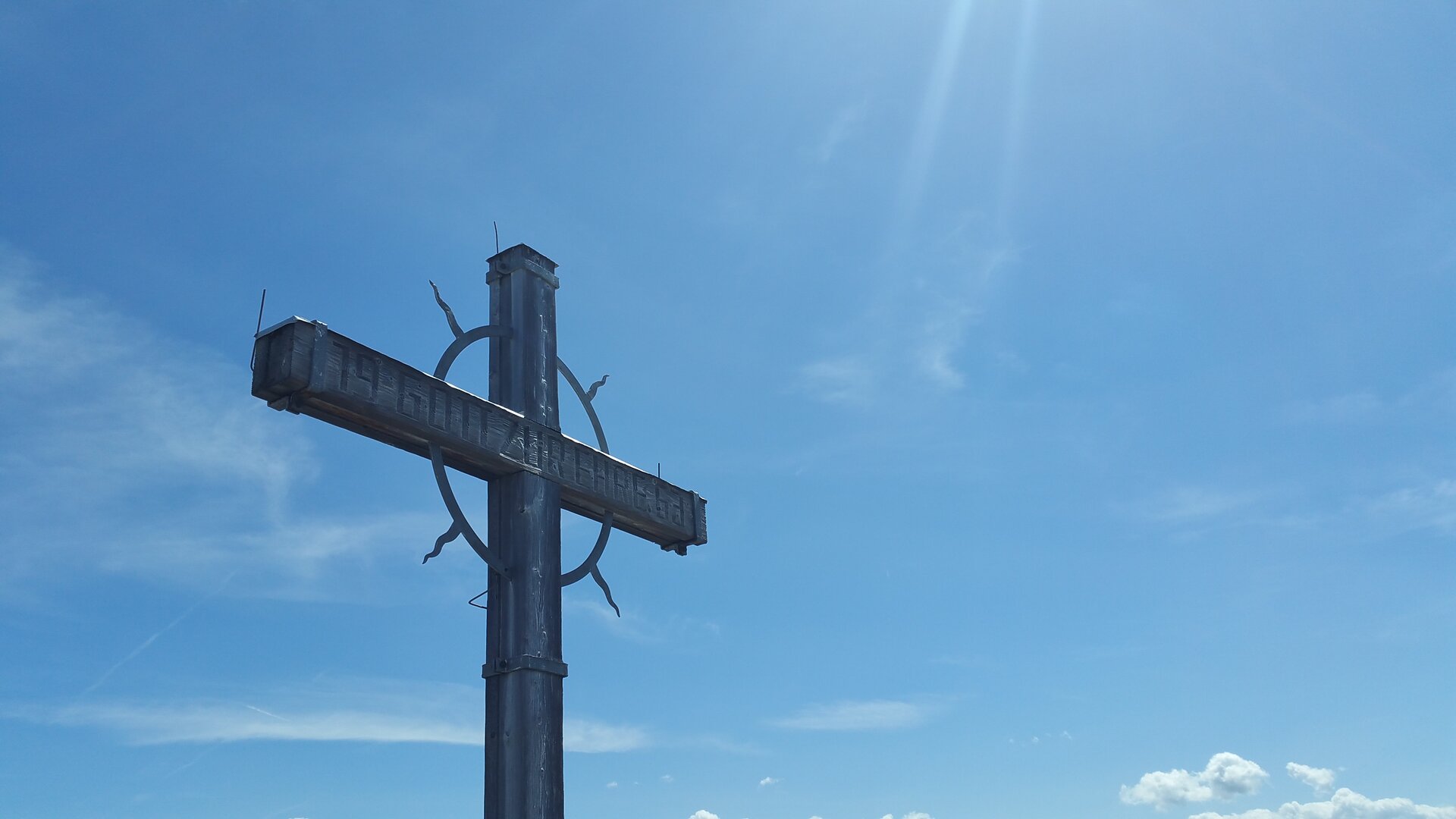
In the upper third, a spectacular rope bridge awaits you, which can also be bypassed. The via ferrata ends at the summit of the Saulakopf at 2,516 meters.

Descent

The descent leads from the summit of the Saulakopf back to the Saulajoch via the exposed, partially secured, and marked trail of the Saulakopf Normal Route. This section is tricky in wet conditions, fresh snow, or icy conditions.

From the Saulajoch, you can either follow the Saulajochsteig back to the Lünerseebahn mountain station or descend via the Heinrich Hueter Hut to the hiking bus stop at the Alpengasthof Rellstal.

Getting to the starting point

We recommend starting at the Douglasshütte, located right next to the Lünerseebahn mountain station.

Getting to the Lünerseebahn by public transportation:
The Montafon regional bus and the Montafonerbahn provide convenient and flexible travel throughout the valley. The train and bus connect the towns regularly, every 30, or 60 minutes depending on the route. You can find your connection here. Bus stop at the start/end of this tour: Brand Lünerseebahn

By car to the Lünerseebahn:
TaketheA14 to the Brandnertal exit and continue on the L82 to Brand, the valley station of the Lünerseebahn. Please note that parking at the valley station is subject to a fee.

Important Information

You climb the via ferrata at your own risk and responsibility. Please check the weather, current conditions, snow conditions, and difficulty level in advance. Realistically assess your experience, sure-footedness, ability to handle heights, and physical fitness.

Complete, standard-compliant via ferrata equipment is absolutely essential. This includes a hip belt, via ferrata set, helmet, and gloves. Equally important is appropriate footwear: sturdy, ankle-high hiking boots with good traction.

Your backpack should also include sufficient food, sun and rain protection, and a first-aid kit.

In the Montafon, you can rent high-quality via ferrata equipment at select sports shops. Please check in advance regarding availability, sizes, and reservation options.

Useful tips

The airy ladder bridge on the ridge can also be bypassed. The descent can often be tricky when wet.

Sicherheitstipps für Wandern in Vorarlberg

EN NOTRUF:

EN 140 - Alpine Notfälle österreichweit 

EN 144 - Alpine Notfälle Vorarlberg 

EN 112 - Euro-Notruf (funktioniert mit jedem Handy/Netz) 

Properties
Route type Mountaineering, Klettersteig, Bergbahnauf-/-abstieg, Round trip
Difficulty Moderate
Start Douglass Chalet at 1,979 m
Finish Douglass Chalet at 1,979 m
Elevation profile
Best months
Jan
Feb
Mar
Apr
May
Jun
Jul
Aug
Sep
Oct
Nov
Dec