Au​-​ and meadow path

Easy
Alpenmosaik - Tal
Einkehrmöglichkeit
Familienfreundlich
Rundtour
Themenweg · Hiking · Alpine mosaic – valley · Alpine mosaic · Refreshment stops · Round trip · Family-friendly · St. Gallenkirch
01:30 h duration
4,74 km Length in km
955 m Highest point
836 m Lowest point
164 m gain Ascent
164 m gain Descent
Stamina
Skill
Difficulty
Adventure
Scenery

Tour description

A scenic village loop through the Ill-Au, past pastures, barns, and farms, that gives you a glimpse into the agricultural character of St. Gallenkirch.

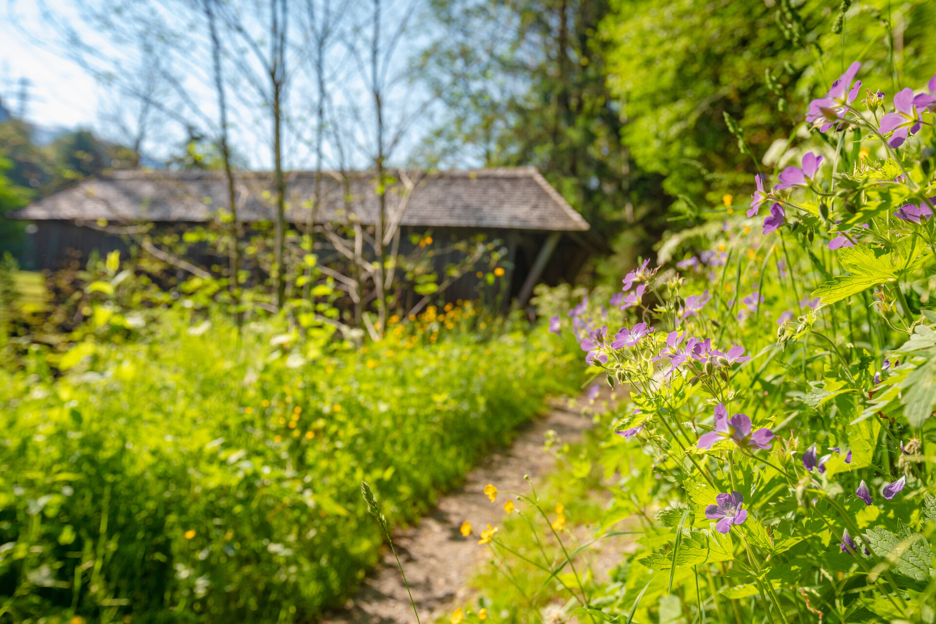
This loop takes you through the diverse cultural landscape around St. Gallenkirch. Amid widely scattered houses and farms, pastures, and gardens, it becomes clear just how strongly agriculture continues to shape the town’s character to this day.

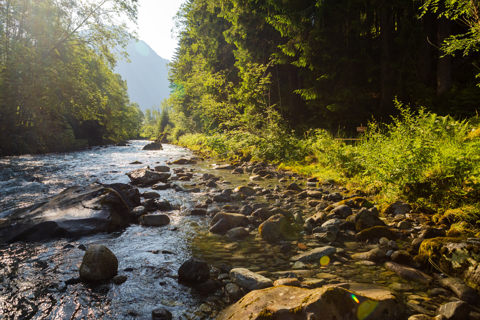
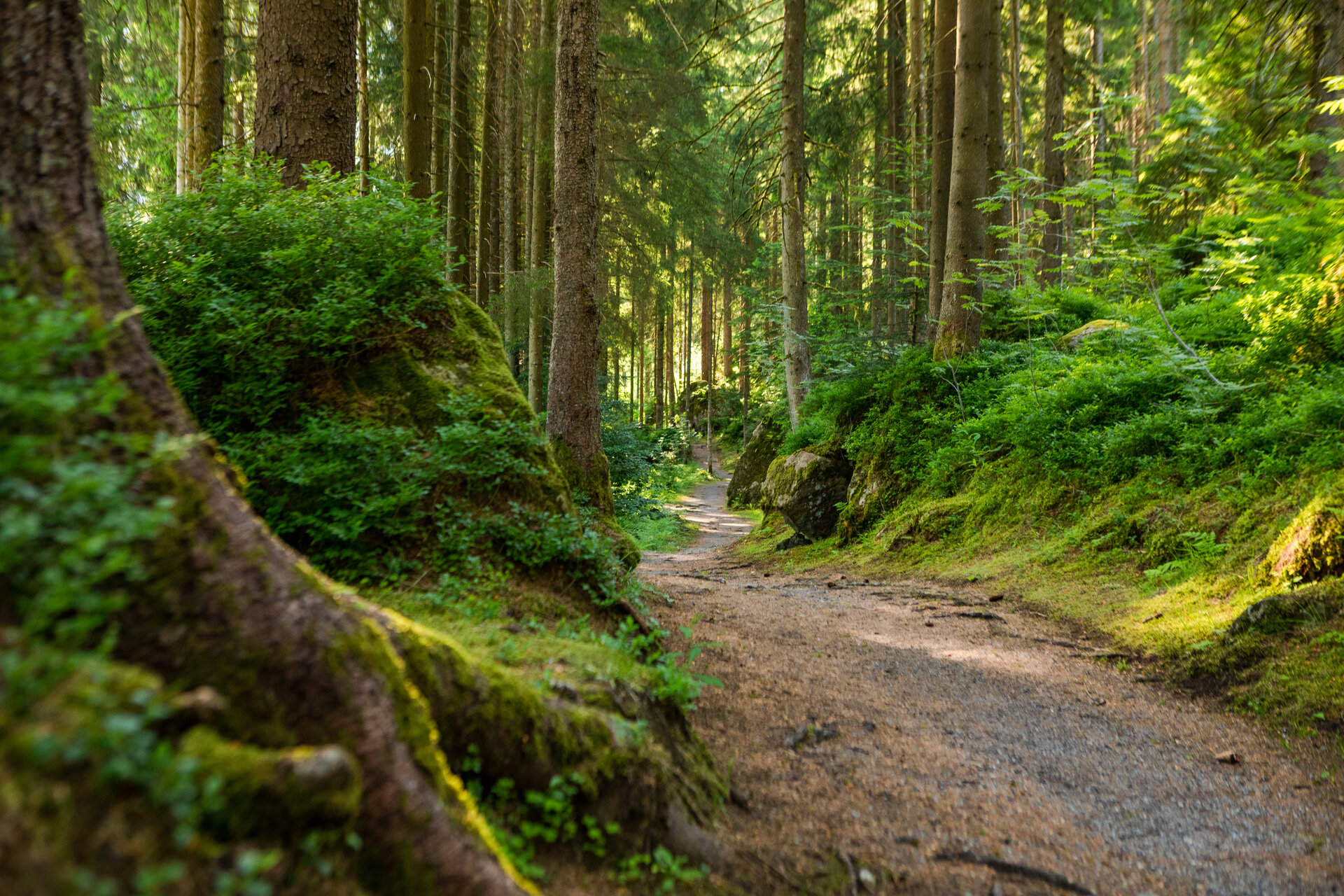
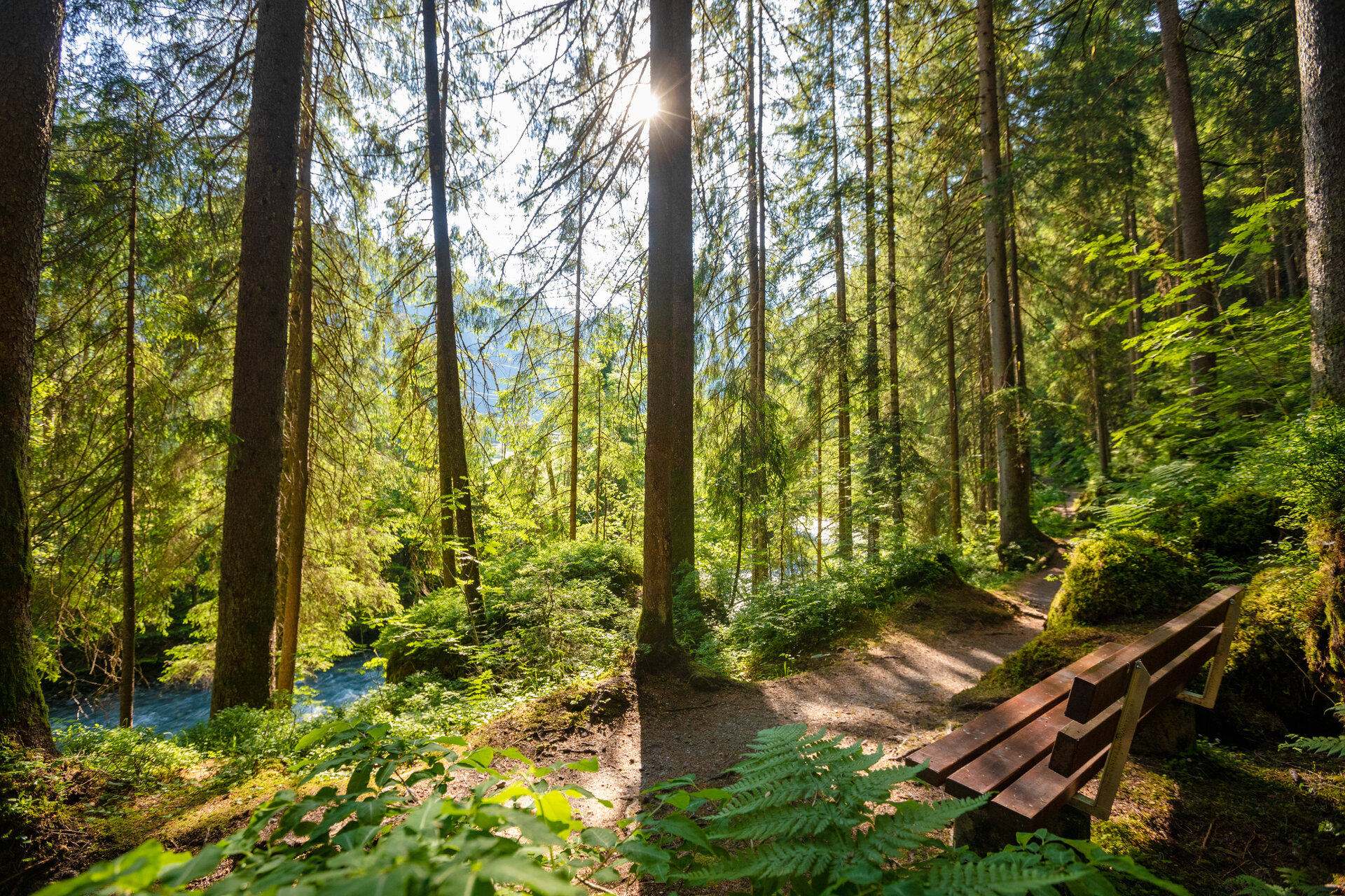
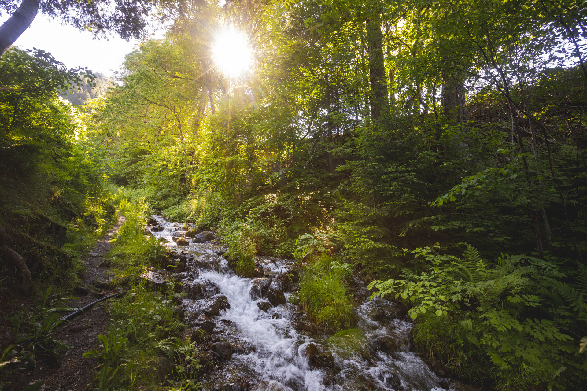
Shady forest trails along the Ill River alternate with open meadow paths and views of St. Gallenkirch. A leisurely walk that’s particularly well-suited as a relaxing way to end the day.

What is the Montafon Alpine Mosaic?

The Montafon Alpine Mosaic showcases the scenic diversity of the Montafon. Four exploration areas—Verwall, Silvretta, Rätikon, and the valley—reveal how geology, nature, and the cultural landscape are interconnected.

Along 34 themed trails, you can discover the unique features of these diverse landscapes. Starting points, themes, and stories along the trails continually offer you new perspectives on the Montafon.

So: Choose an exploration area, lace up your hiking boots, and discover the diversity of the Montafon step by step.

You can find more information about the Montafon Alpine Mosaic HERE.

Starting Point - Directions - End Point

Starting Point
St. Gallenkirch, downtown

Directions
From the town hall in St. Gallenkirch, cross the street and follow the narrow road downhill. Passing the Randweg, continue on to the Ill River. After crossing the wooden bridge, turn left toward the Gäßschärm. An idyllic forest trail then leads you along the Ill toward Gortipohl.

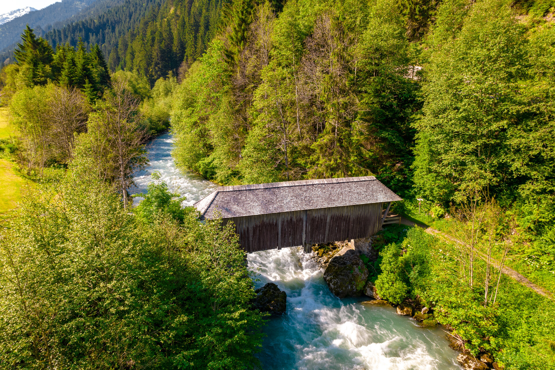
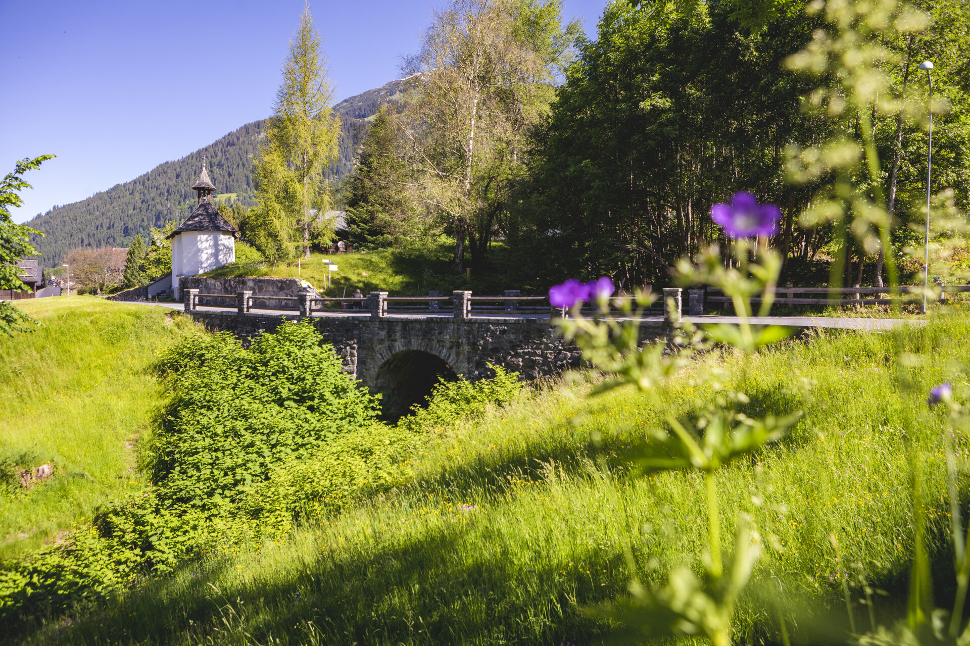
When you reach the Garfrescha Bahn, stay on the right side of the stream and follow the path to a covered wooden bridge. Cross the bridge, head uphill through the Hüttlertobel, and pass the Pest Chapel to reach the next fork in the trail.

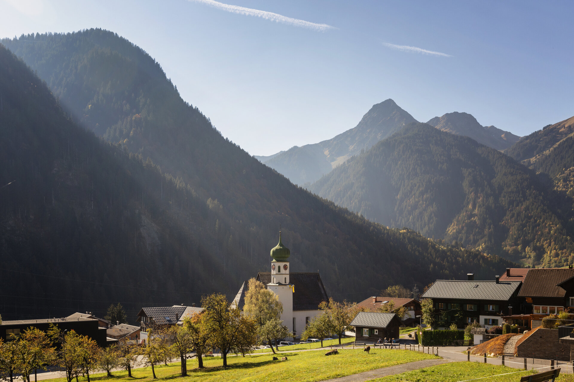
There, turn left to reach the Wiesenweg, which offers a beautiful view of St. Gallenkirch. Follow this path back to the town center.

End Point
St. Gallenkirch, Center

Getting to the starting point

Getting to the Starting Point
The starting point for the tour is the town center of St. Gallenkirch.

By public transportation:
The Montafon regional bus and the Montafonerbahn provide convenient and flexible travel throughout the valley. Trains and buses run regularly between the towns, every half hour or every hour depending on the route. You can find the right connection HERE. Bus stop at the start/end of this tour: St. Gallenkirch Center

By car:
Take the A14 to the Bludenz/Montafon exit, then follow the Montafoner Straße L188 to St. Gallenkirch. Parking in the town center is limited. Additional parking is available at the Valisera Bahn valley station.

Important Information

For the hike, we recommend wearing weather-appropriate clothing and sturdy shoes with good traction. An "Active Hiking Map" can help you find your way.

Tips

The village walk is particularly well-suited as a leisurely evening stroll and offers beautiful views of St. Gallenkirch along the way.

Sicherheitstipps für Wandern in Vorarlberg

EN NOTRUF:

EN 140 - Alpine Notfälle österreichweit 

EN 144 - Alpine Notfälle Vorarlberg 

EN 112 - Euro-Notruf (funktioniert mit jedem Handy/Netz) 

Properties
Route type Themenweg, Hiking, Alpine mosaic – valley, Alpine mosaic, Refreshment stops, Round trip, Family-friendly
Difficulty Easy
Start Ortszentrum St. Gallenkirch
Finish Ortszentrum St. Gallenkirch
Elevation profile
Best months
Jan
Feb
Mar
Apr
May
Jun
Jul
Aug
Sep
Oct
Nov
Dec