Tour description
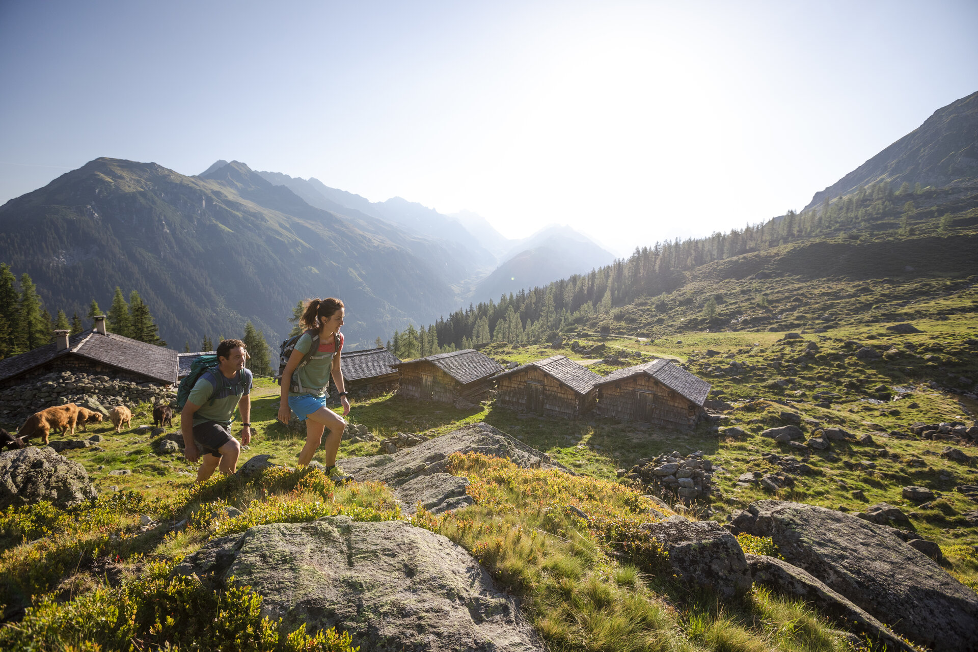
This challenging loop hike to the Upper and Lower Alpguessee lakes takes you deep into the quiet, unspoiled mountain landscape of the Verwall European Nature Reserve. Lakes, marshes, larch forests, peaks offering spectacular views, and—with a little luck—encounters with marmots, chamois, or ibex make this tour a particularly diverse nature experience.
Starting at the upper station of the Grasjoch Bahn, this fairly challenging loop hike takes you into one of the most impressive natural landscapes in the Montafon. The trail circles three mountains and repeatedly offers sweeping views of the virtually untouched landscape of the Verwall European Nature Reserve.
Along the way, you’ll hike to the Upper and Lower Alpguessee lakes as well as the Alpguesalpe. Crystal-clear mountain lakes, small ponds, protected marshlands, sparse larch forests, and sweeping views into various valleys make this hike a diverse and rewarding experience. With a little luck, you might even spot marmots, chamois, or ibex.
The Verwall Natura 2000 site, covering approximately 120 km², is Vorarlberg’s largest protected area. It was designated a European protected area under the Birds Directive and preserves particularly characteristic, rare, and endangered species. Species protected here include the rock ptarmigan, capercaillie, black grouse, hazel grouse, black woodpecker, and three-toed woodpecker. Unique plant species, such as those found in the protected raised bogs, also characterize this sensitive habitat.
Important Notice for Summer 2026
Due to construction work on the new Freda Railway, the Alpgues Circular Trail will be temporarily closed this year. The trail is open on Sundays. During the closure, the Alpgues Trail via Scheimersch to the Alpguesalpe can be used as a round-trip route. The route is marked with the number 2a.
You can find many more highlights of this hike at:
https://naturvielfalt.at/schutzgebiet/verwall/
Note
The Alpguesalpe is not staffed. Refreshments are available only at the Grasjoch Hut.