Tour description
Litzkapelle Schruns - Montjola - Gasthaus Fischerstöbli - Plattaweg - Baroque Church Bartholomäberg - Roferweg - Historical Mine
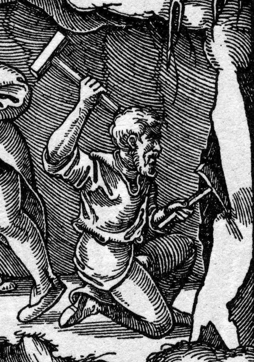
The Bergknappenweg on the Bartholomäberg – in the footsteps of the old miners
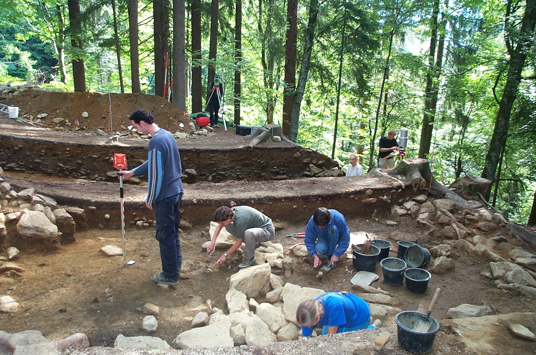
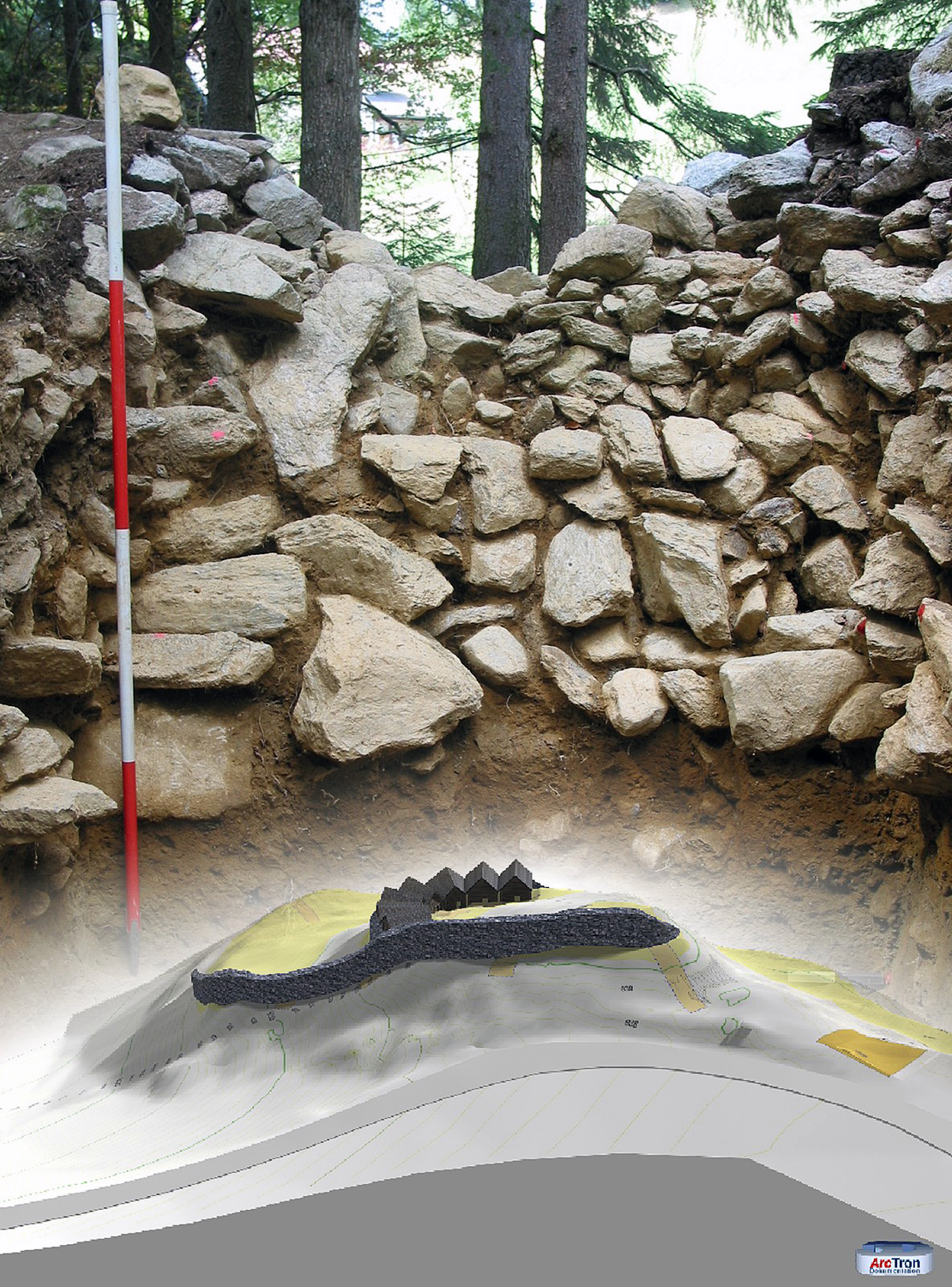
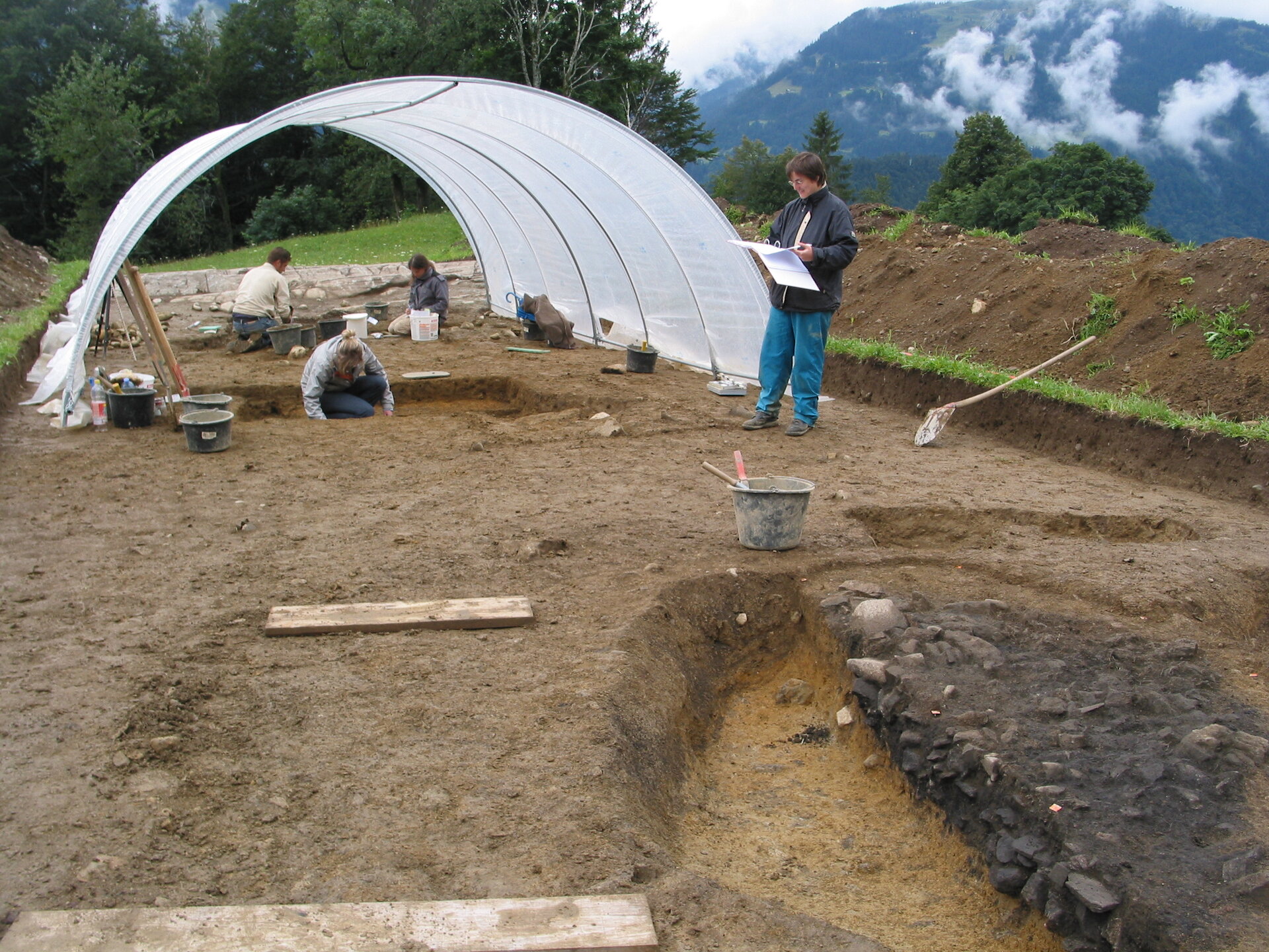
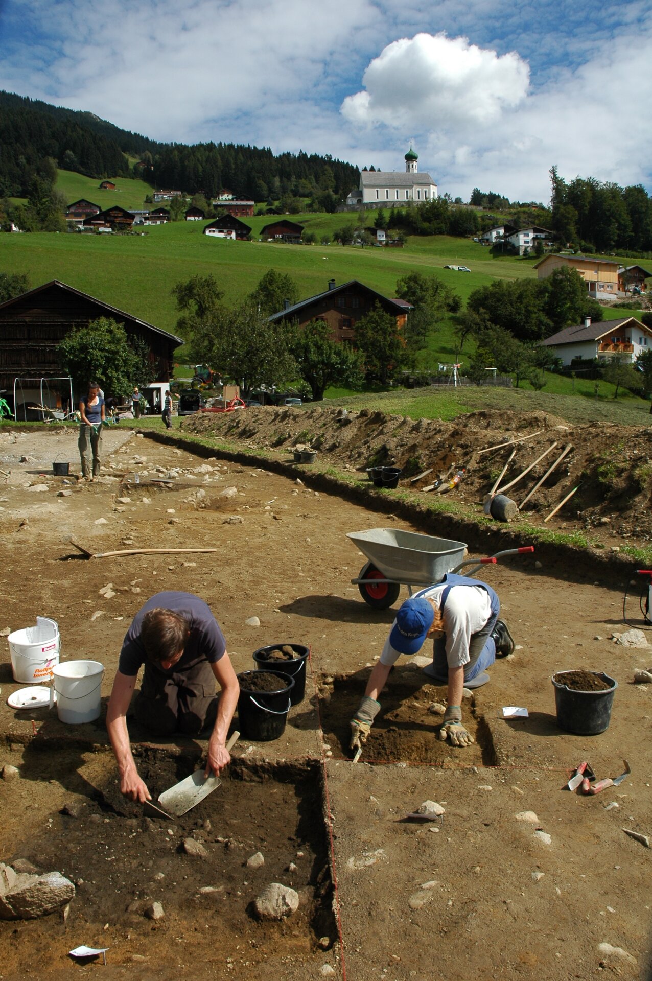
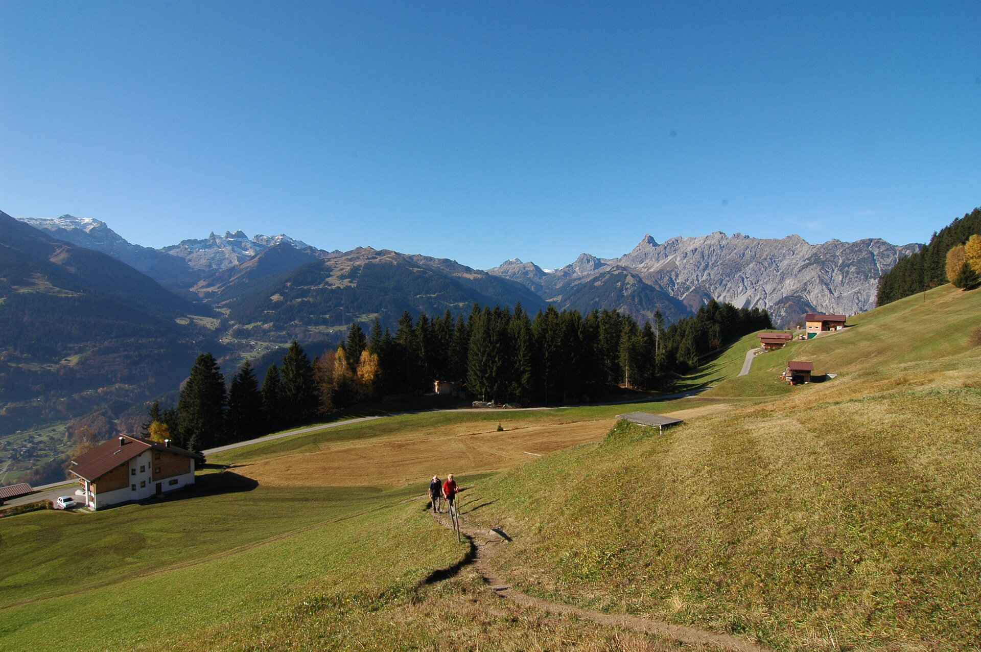
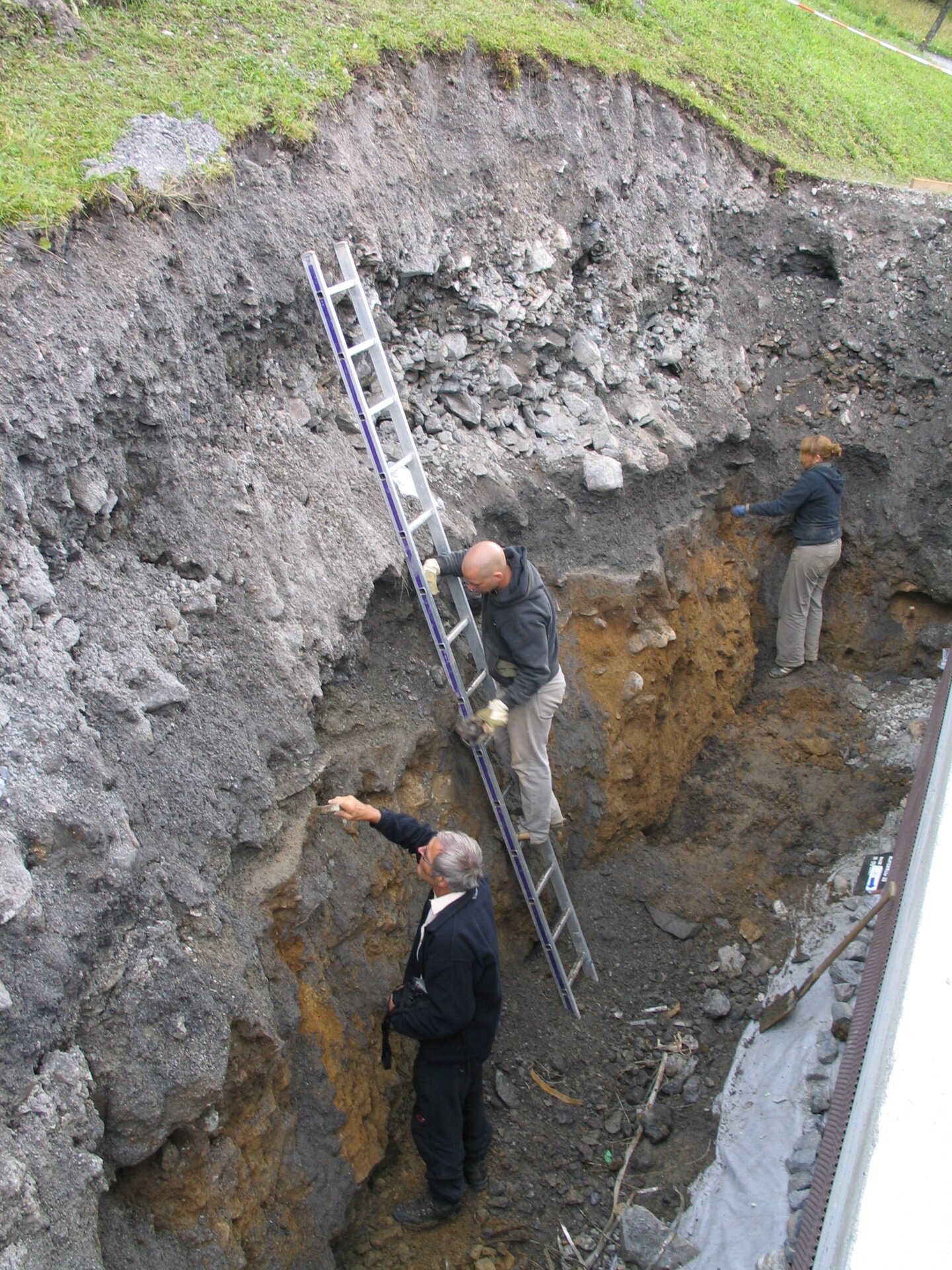
On the Bartholomäberg there is an old path from the valley floor at Schruns up to the mining zone, which is called the “Bergknappenweg” (miners' path) by the locals. It is commonly believed to be an old route used by miners on their way to the mining zone. In fact, historical sources confirm that in the late Middle Ages, miners lived down in the settlement area and ascended daily to the mining zone. Archaeological excavation results support this assumption.
The hiking trail, now called the "Bergknappenweg," thus likely assumes a new significance. It appears to actually be the path used by miners in the Middle Ages, leading from the Litzkapelle about 650 meters uphill to the mining zone of the Knappagruaba.
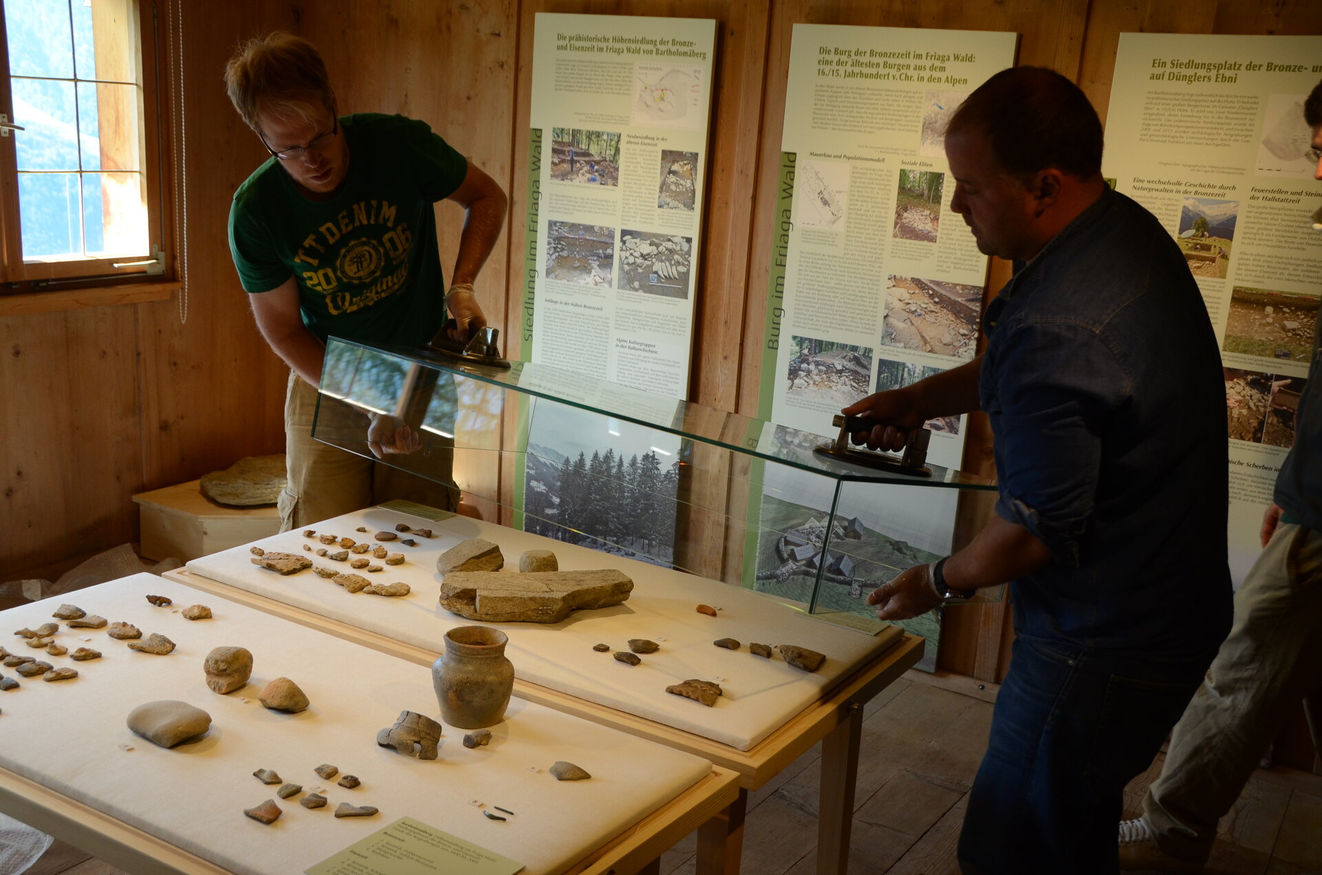
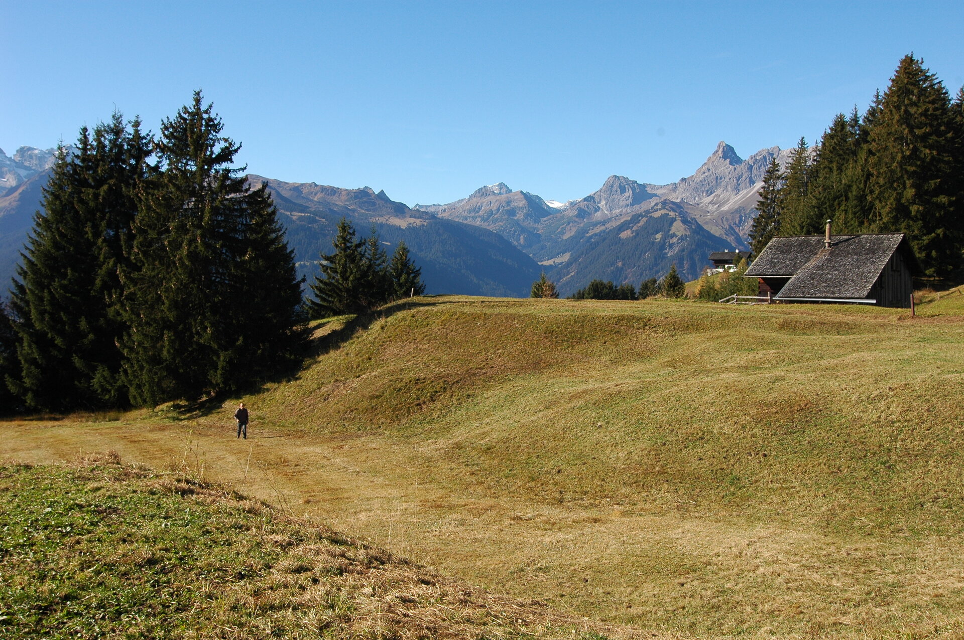
Along the Bergknappenweg, numerous information boards inform hikers about important and interesting stations related to the early settlement history and mining on the Bartholomäberg - from the Litzkapelle through the Bronze Age castle in the Friaga Forest, the high trail in the Allmein above the Fritzensee near the Knappagruaba. At the Frühmesshaus Bartholomäberg museum, impressions and findings can be deepened through the museum presentation and a special exhibition on the settlement and mining history of the Montafon.
Bergknappenweg, the stations:
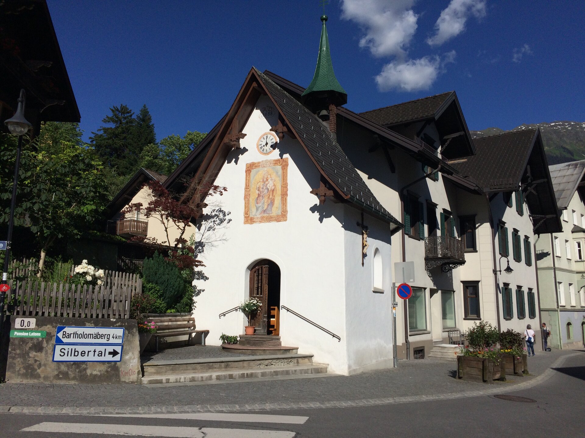
- Litzkapelle in Schruns, pilgrimage chapel built in 1688. Start of the Bergknappenweg.
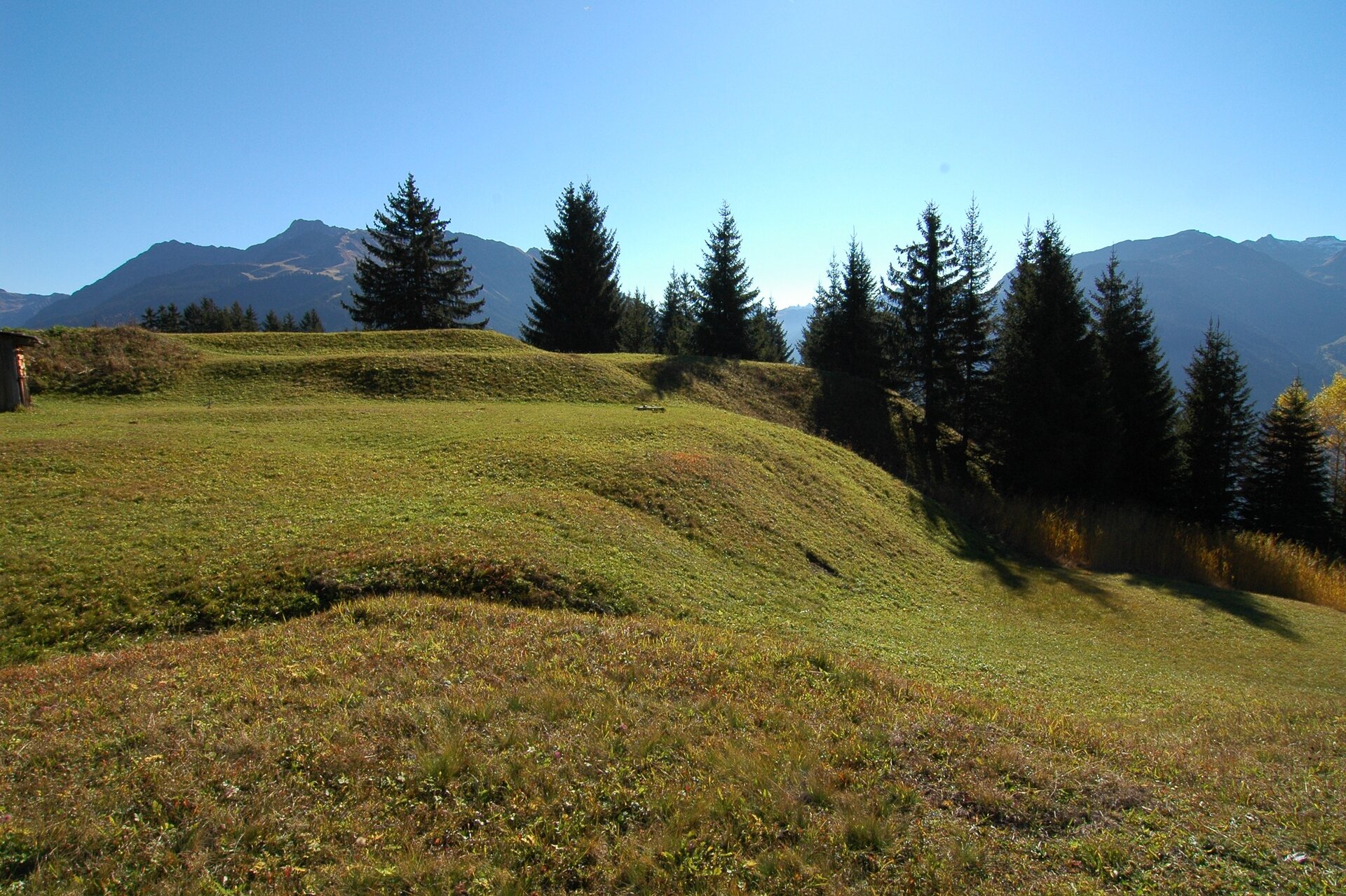
- Friaga Forest, prehistoric high settlement and Bronze Age castle
- Bodaweg, Bronze and Iron Age settlement on the Platta
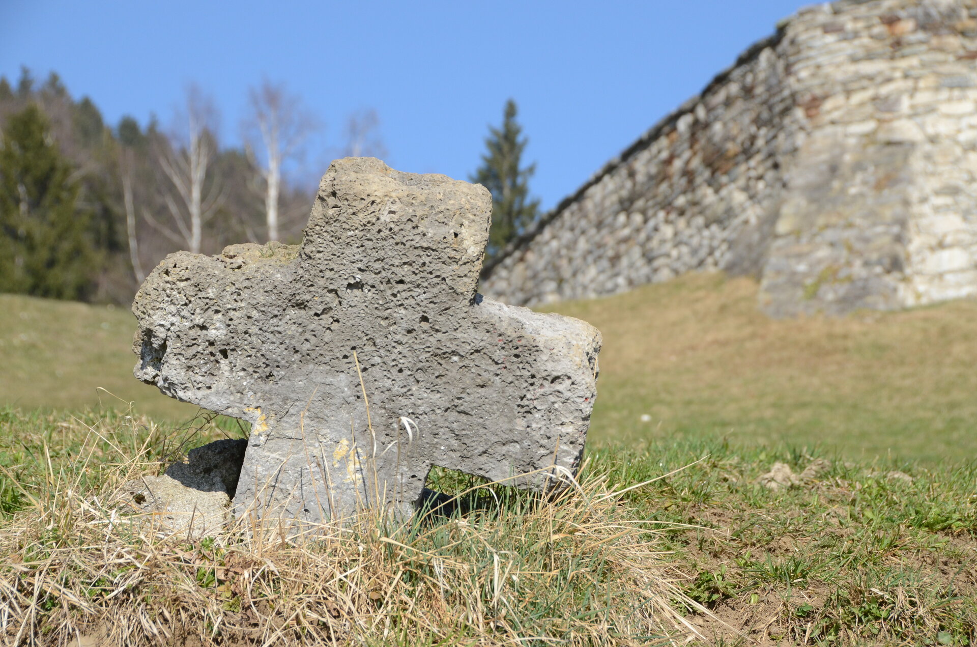
- Stone Cross (atonement cross) below the church in Bartholomäberg
- Bergknappenweg, information board
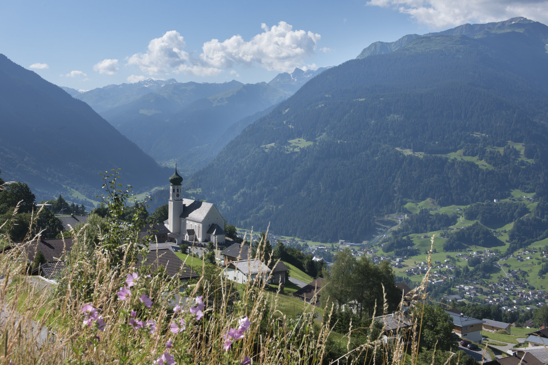
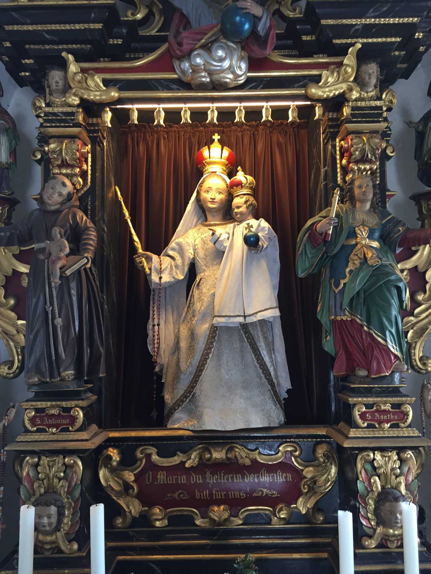
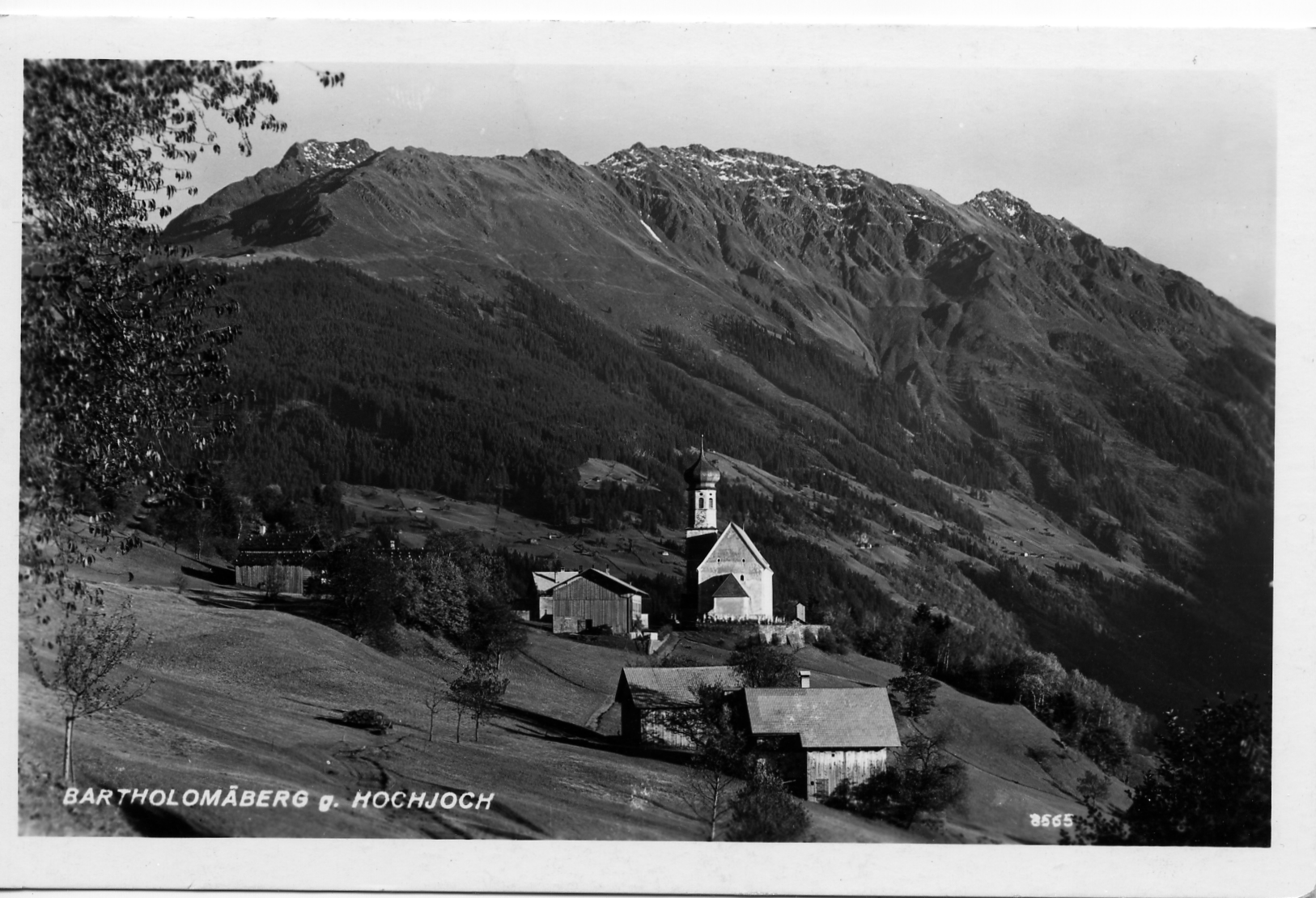
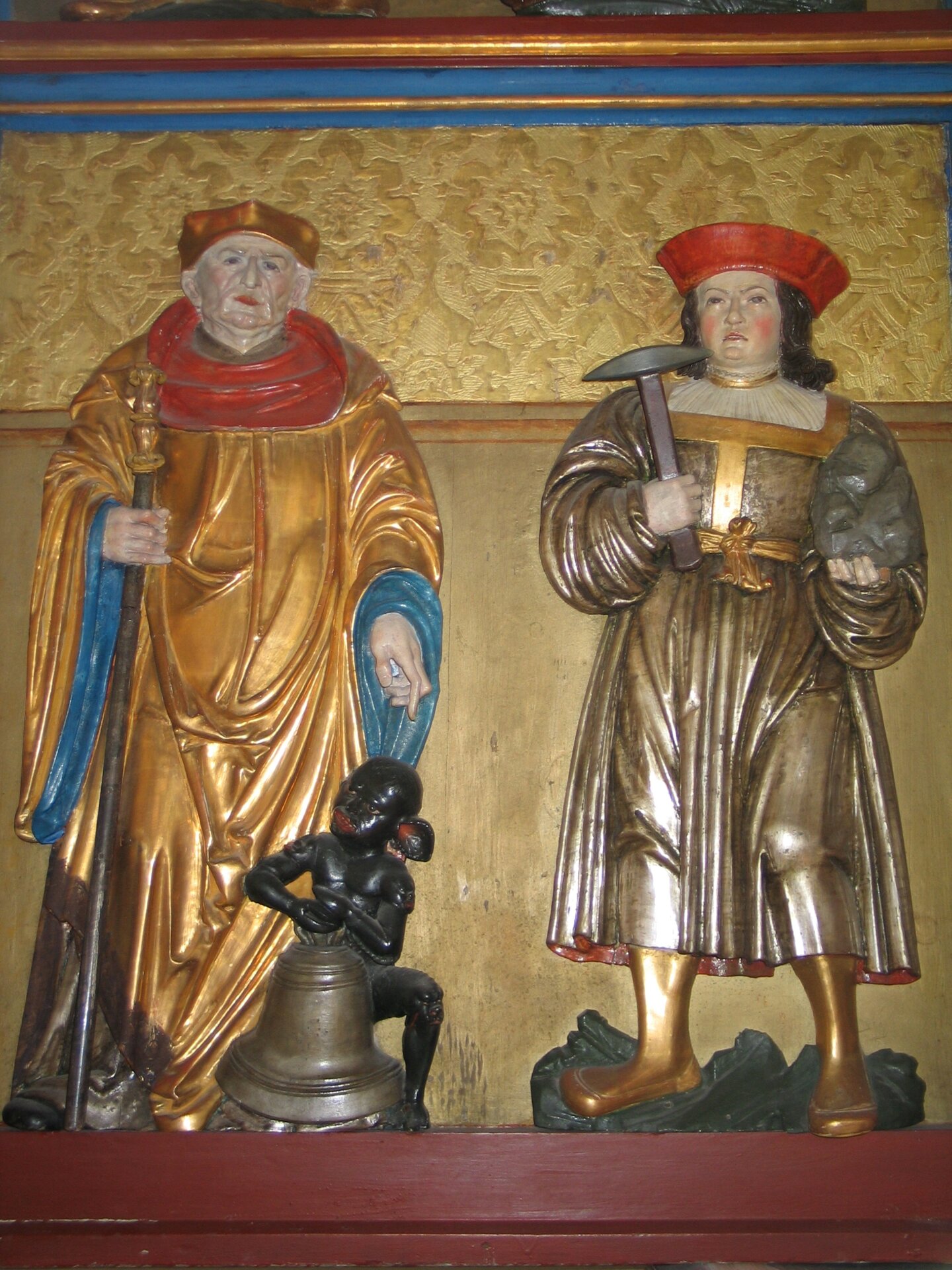
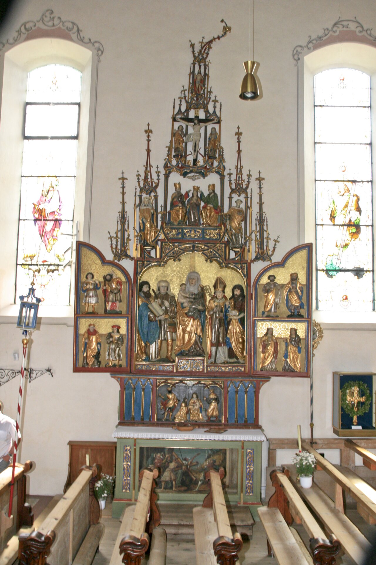
- Baroque Church Bartholomäberg, the oldest church in the Montafon, miners' altar and Romanesque processional cross
- Frühmesshaus Museum Bartholomäberg, early settlement and mining history of the Montafon
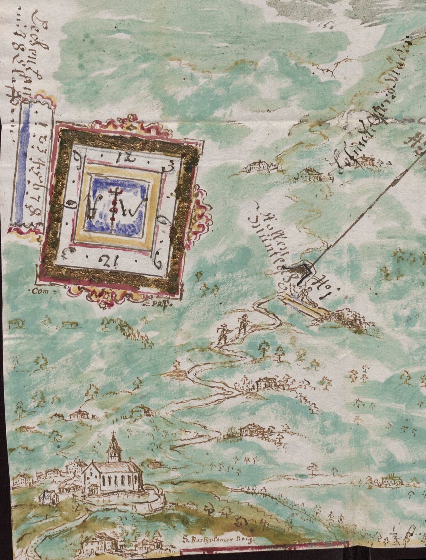
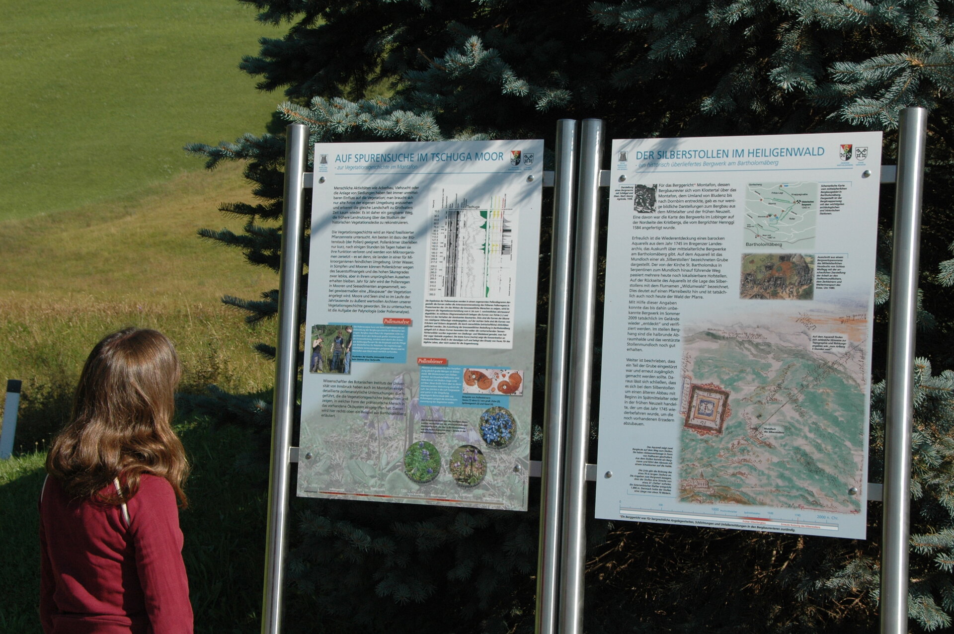
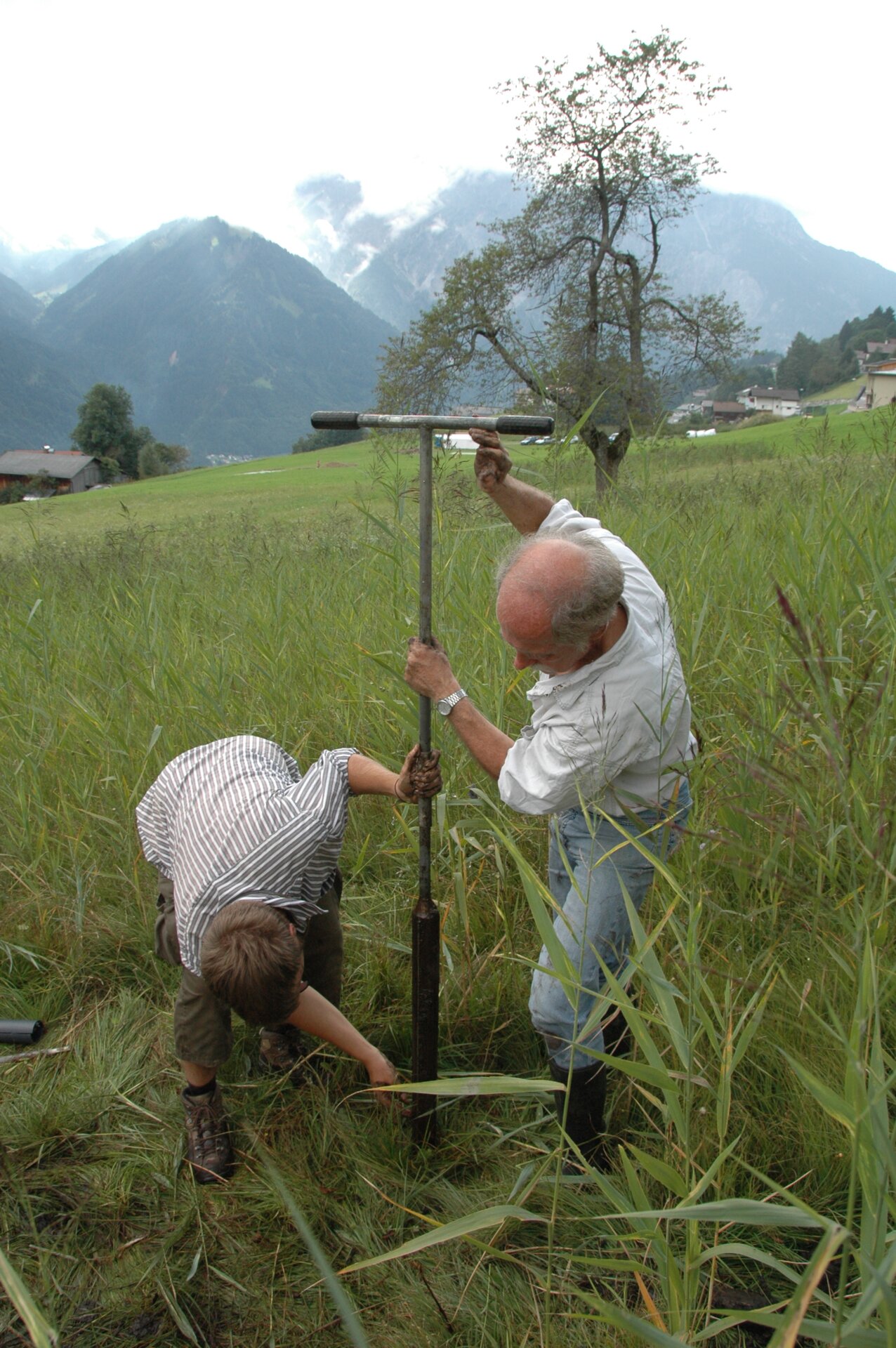
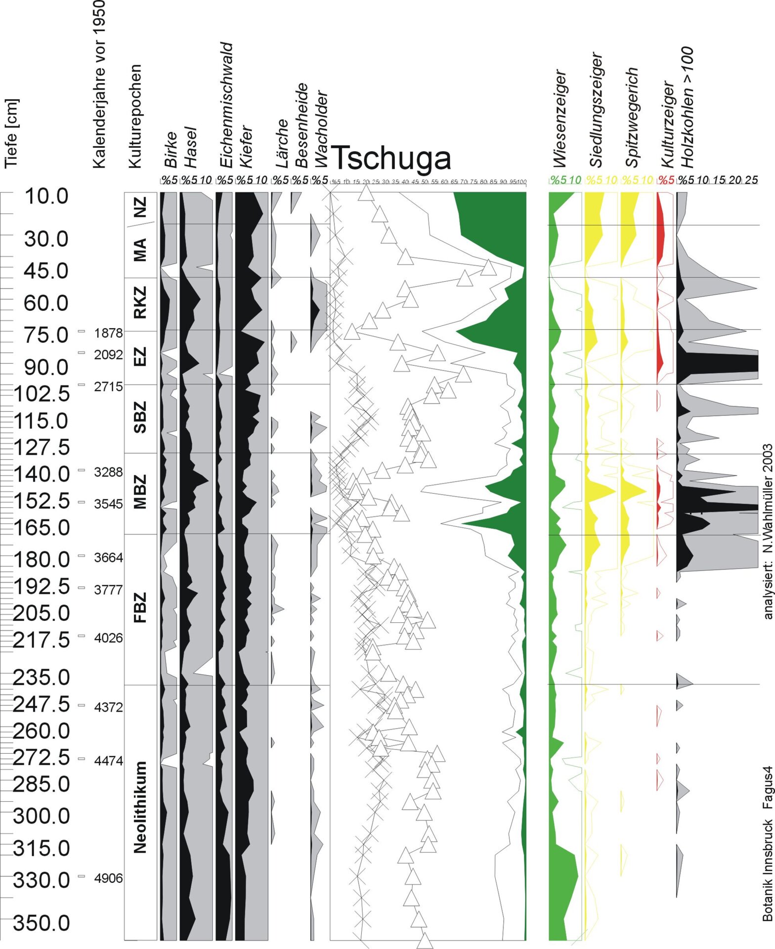
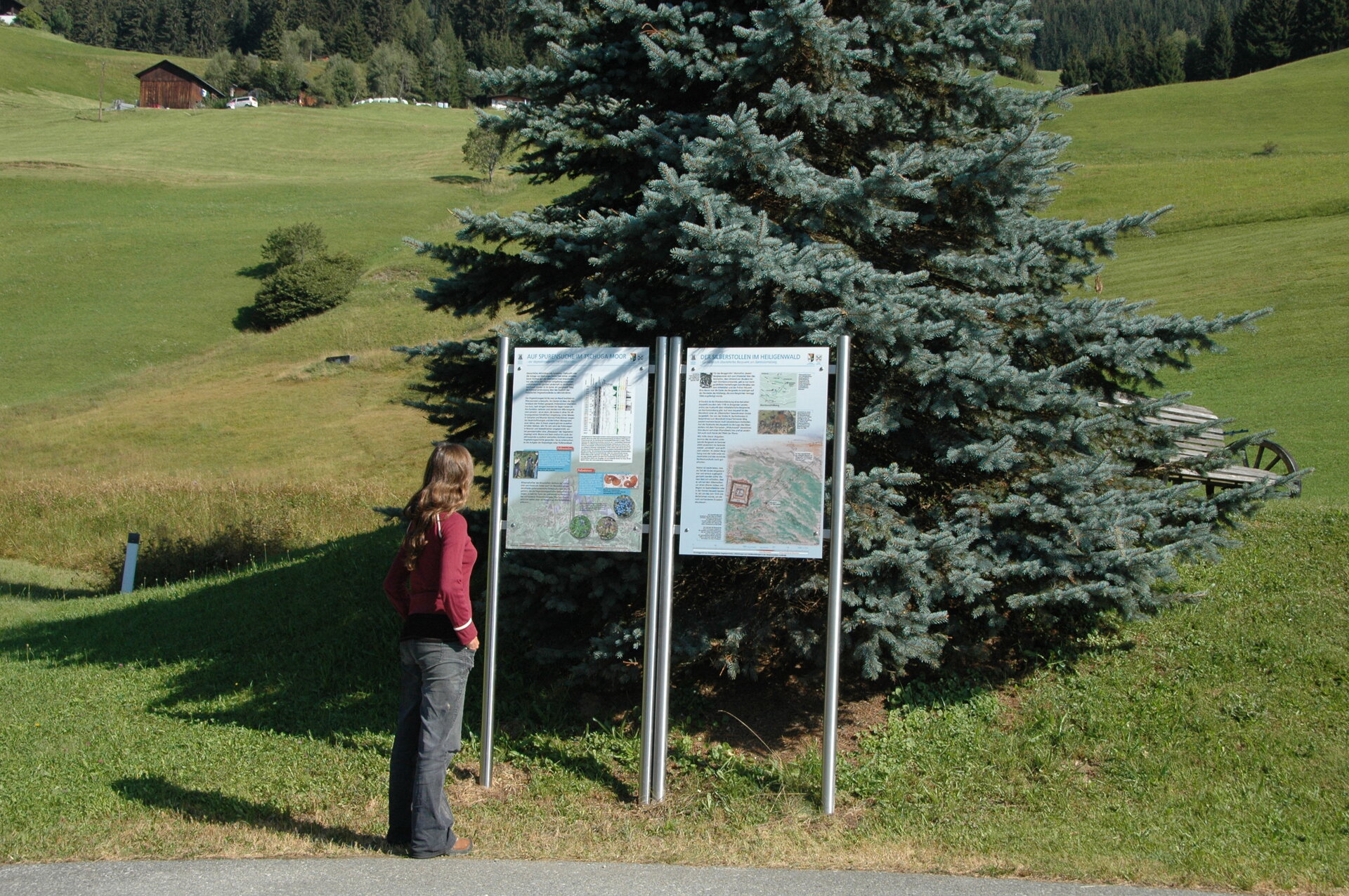
- Tschuga Moor on the Obwaldweg, tracking the Tschuga Moor – on the vegetation history in the Montafon / The silver tunnel in the
Heiligenwald – a historically handed down mine on the Bartholomäberg - Roferweg, late medieval miners' forge
- Roferweg, dump section and late medieval ore processing
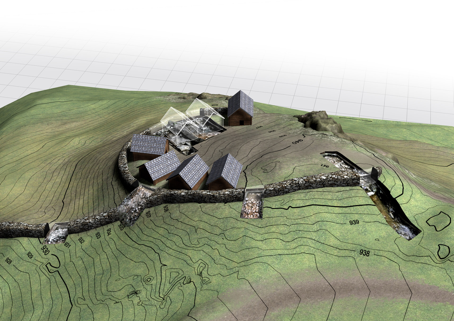
- Medieval mining zone Knappagruaba historical mine, mining on the Bartholomäberg – dumps, adit openings and mine shafts