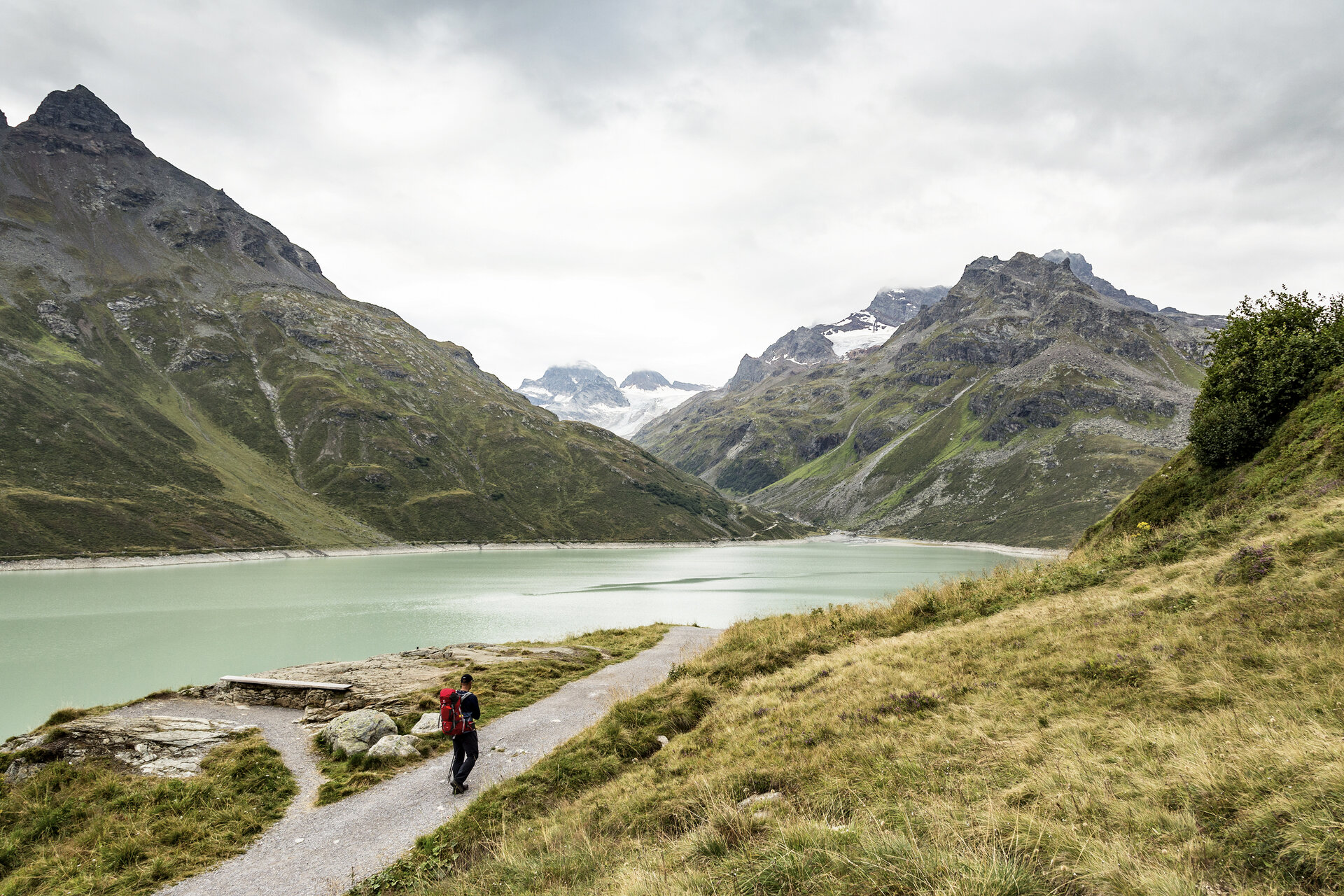
Silvrettasee circular route

Moderate
geschlossen
Alpenmosaik - Silvretta
Einkehrmöglichkeit
Familienfreundlich
Kinderwagentauglich
Rundtour
Themenweg · Alpine mosaic · Refreshment stops · Round trip · Family-friendly · Suitable for prams
02:00 h duration
6,34 km Länge
2088 m Höchster Punkt
2032 m Tiefster Punkt
57 hm Aufstieg
57 hm Abstieg
Kondition
Schwierigkeit
Erlebnis
Landschaft

Tourbeschreibung

The path offers a glacier experience without crampons, as the Piz Buin with its glaciers can be admired from the reservoir. The themed trail reports on old trade routes, mountaineering, and energy economics. From Bielerhöhe, you pass bubbling mountain streams and art installations and enjoy spectacular views from the dam.
Approach

Take the A14 to the Bludenz/Montafon exit and continue on the Montafonerstraße L188 to Partenen. In Partenen, you reach the Silvretta High Alpine Road, which is toll-required.

Public transport

Just leave your car behind

The Montafonerbahn regional buses operate throughout the Montafon. The main lines run every half hour from Schruns station.

Bus stop at the start/finish of the route: Bielerhöhe Silvrettasee / Line 650

Timetable: www.vmobil.at

Arrival by train to Montafon

From Bludenz station, the Montafonerbahn runs hourly (partially half-hourly). There are also direct connections from Lindau (D) and Bregenz.

Timetable: www.oebb.at

Parking

Parking Silvretta-Bielerhöhe

Directions

The circular route starts at the Silvrettasee restaurant (there are plenty of parking spaces nearby). At the beginning, the path leads over the dam of the Silvrettasee. First, you cross the main dam with a crest length of 430 m and a maximum height of 80 meters, then the side dam (140 m long, 31 m high). From here, it goes on a wider gravel path on the right bank upstream. After a few meters, the highest mountain in Vorarlberg - the Piz Buin 3,312 m - is a constant companion. From this side, you can also find the most beautiful photo spots, with the Silvrettasee in the foreground. The path runs directly along the Silvrettasee (1.3 km² surface). On the opposite bank, the mountain called "Hohe Rad" rises. After about 2.3 km, you reach the Klostertaler Bach, a roaring glacier stream. About 600 m later, you cross the Ill. Here, the path forks toward the well-known Wiesbadener Hut. We stay on the riverside path. Now the view changes toward Silvretta-Bielerhöhe. Next to the mountain guesthouse Piz Buin, the Silvretta House, and the Silvrettasee restaurant, the Bielerspitze and the distinctive Vallüla are clearly visible. At the end of the hike, the path leads over the Silvrettasee dam.

Equipment

sturdy footwear

Tips

I recommend walking the path in the indicated direction, as the view of the striking Piz Buin is only given in this direction.

Destination

Silvretta-Bielerhöhe

Starting Point

Silvretta-Bielerhöhe

Sicherheitstipps für Wandern in Vorarlberg

EN NOTRUF:

EN 140 - Alpine Notfälle österreichweit 

EN 144 - Alpine Notfälle Vorarlberg 

EN 112 - Euro-Notruf (funktioniert mit jedem Handy/Netz) 

Eigenschaften
Routentyp Themenweg, Alpine mosaic, Refreshment stops, Round trip, Family-friendly, Suitable for prams
Schwierigkeit Moderate
Höhenprofil
Beste Jahreszeit
Jan
Feb
Mär
Apr
Mai
Jun
Jul
Aug
Sep
Okt
Nov
Dez