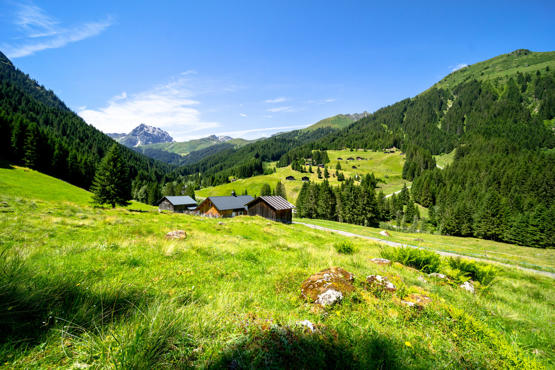
Montafon valley path ​|​ Gargellen to St​.​ Gallenkirch

Moderate
Alpenmosaik - Tal
Hiking · Alpine mosaic – valley
02:20 h duration
11,1 km Länge
1444 m Höchster Punkt
818 m Tiefster Punkt
205 hm Aufstieg
773 hm Abstieg
Kondition
Schwierigkeit
Erlebnis
Landschaft

Tourbeschreibung

The path reflects the cultural landscape that has developed over centuries beneath the stone giants. Here you are right in Gargellen, a side valley of the Montafon, shaped by forestry and agriculture. A hike for sunny days, as the trail leads through the wooded Gargellen valley repeatedly along the Suggadin river, later over wide meadows down to St. Gallenkirch.

Approach

Drive on the A14 to the Bludenz/Montafon exit and then continue on the Montafonerstraße L188 to St. Gallenkirch. There you turn right into the Gargellnerstraße and follow it up to Gargellen.

Public transport

Just leave your car standing

The regional buses of the Montafonerbahn run throughout the Montafon. The main lines run every half hour from Schruns station.

Bus stop at the start of the route: Gargellen Schafbergbahn / Line 670

Bus stop at the end of the route: St. Gallenkirch Zentrum / Line 650

Timetable: www.vmobil.at

Arrival by train to the Montafon

From Bludenz station the Montafonerbahn runs hourly (sometimes every half hour). There are also direct connections from Lindau (D) or Bregenz.

Timetable: www.oebb.at

Parking

Parking lot Bergbahnen Gargellen (paid)

Parking lot St. Gallenkirch Zentrum

Directions

You start in Gargellen and walk downhill along the Suggadin stream.

Valisera Maisäß - cross the L 192 road - continue walking on the left side of the Suggadin - Rüti - cross the Galgenul street, L 192 - St. Gallenkirch

Equipment

Pay attention to sturdy footwear suitable for the conditions.

Tips

Keep your eyes open! You might spot some Montafon rock sheep.

Destination

St. Gallenkirch, center

Starting Point

Gargellen, valley station Schafbergbahn

Sicherheitstipps für Wandern in Vorarlberg

EN NOTRUF:

EN 140 - Alpine Notfälle österreichweit 

EN 144 - Alpine Notfälle Vorarlberg 

EN 112 - Euro-Notruf (funktioniert mit jedem Handy/Netz) 

Eigenschaften
Routentyp Hiking, Alpine mosaic – valley
Schwierigkeit Moderate
Höhenprofil
Beste Jahreszeit
Jan
Feb
Mär
Apr
Mai
Jun
Jul
Aug
Sep
Okt
Nov
Dez