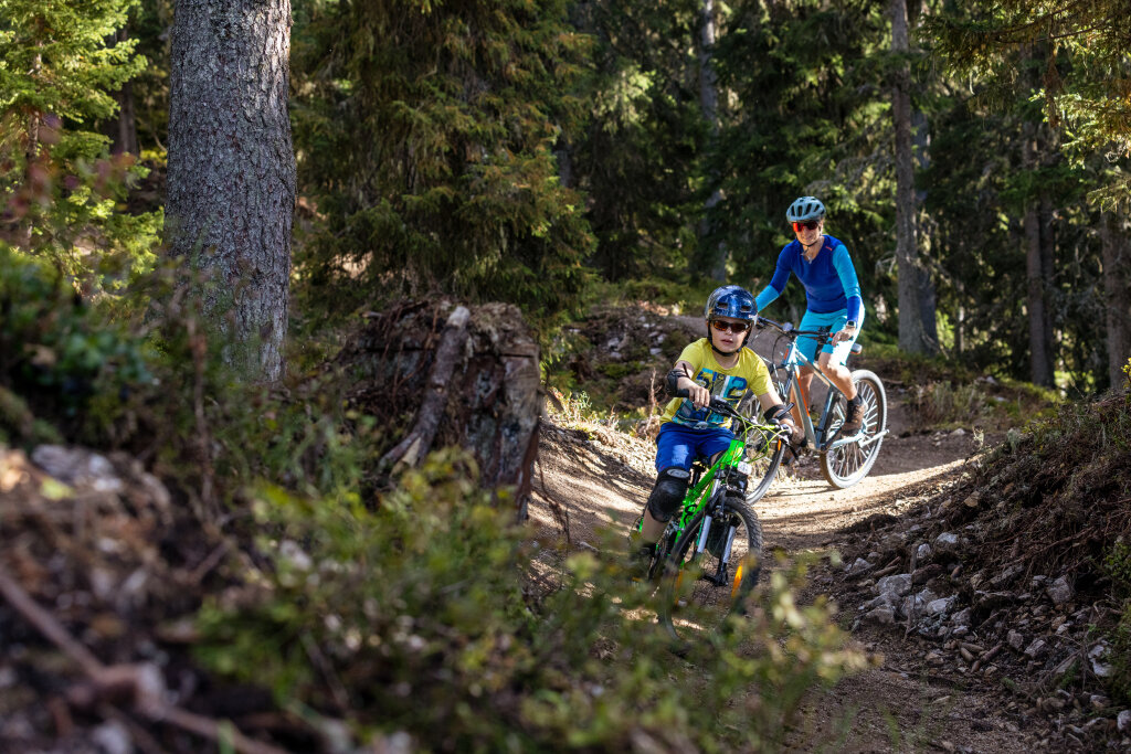
Flowtrails Trailpark Hochjoch ​-​ Trail No​.​ 1 Hubertus Trail

Easy
Einkehrmöglichkeit
Familienfreundlich
(E-)Mountainbiken · Refreshment stops · Family-friendly
00:14 h duration
4,11 km Length in km
1855 m Highest point
1357 m Lowest point
0 m gain Ascent
497 m gain Descent
Stamina
Difficulty
Adventure
Scenery

Tour description

The Hubertus Trail is the easiest of the three flowtrails and has a length of 4,138 meters

Directions

From the Kapellrestaurant, the trails lead through the forest to the Kropfen middle station. The three different lines – over 500 meters of elevation and almost seven kilometers in total, from easy to medium difficulty – guarantee fun for the whole family!

Equipment

Wearing a helmet is mandatory at all times. The use of full-face helmets and additional protective gear such as upper body protectors, knee and elbow pads, as well as gloves, is recommended

Make sure to stay on the marked paths

Tips

You can reach the entrance to the flowtrails with the Hochjoch Bahn, from Schruns.

Choose from different tickets: for a single run, for the whole day, or – if you have a multi-day, season, or annual pass – only the bike transport.

Please note that bike transport is only possible with the Hochjoch Bahn.

Here you can find more details:

https://www.silvretta-montafon.at/de/sommer/sommeraktivitaeten/biken

Destination

Schruns, Hochjoch Bahn valley station

Starting Point

Schruns, Hochjoch Bahn top station

Sicherheitstipps für Mountainbike in Vorarlberg

NOTRUF:

140 Alpine Notfälle österreichweit 

144 Alpine Notfälle Vorarlberg 

112 Euro-Notruf (funktioniert mit jedem Handy/Netz) 

Properties
Route type (E-)Mountainbiken, Refreshment stops, Family-friendly
Difficulty Easy
Elevation profile
Best months
Jan
Feb
Mar
Apr
May
Jun
Jul
Aug
Sep
Oct
Nov
Dec