Hiking trail Gantakopf

Moderate
Einkehrmöglichkeit
Winter hiking · Refreshment stops
01:00 h duration
1,74 km Länge
2010 m Höchster Punkt
1938 m Tiefster Punkt
72 hm Aufstieg
72 hm Abstieg
Kondition
Technik
Schwierigkeit
Erlebnis
Landschaft

Tourbeschreibung

From the Versettla Bahn top station, follow the marked path towards Gantakopf. The return path follows the same route.

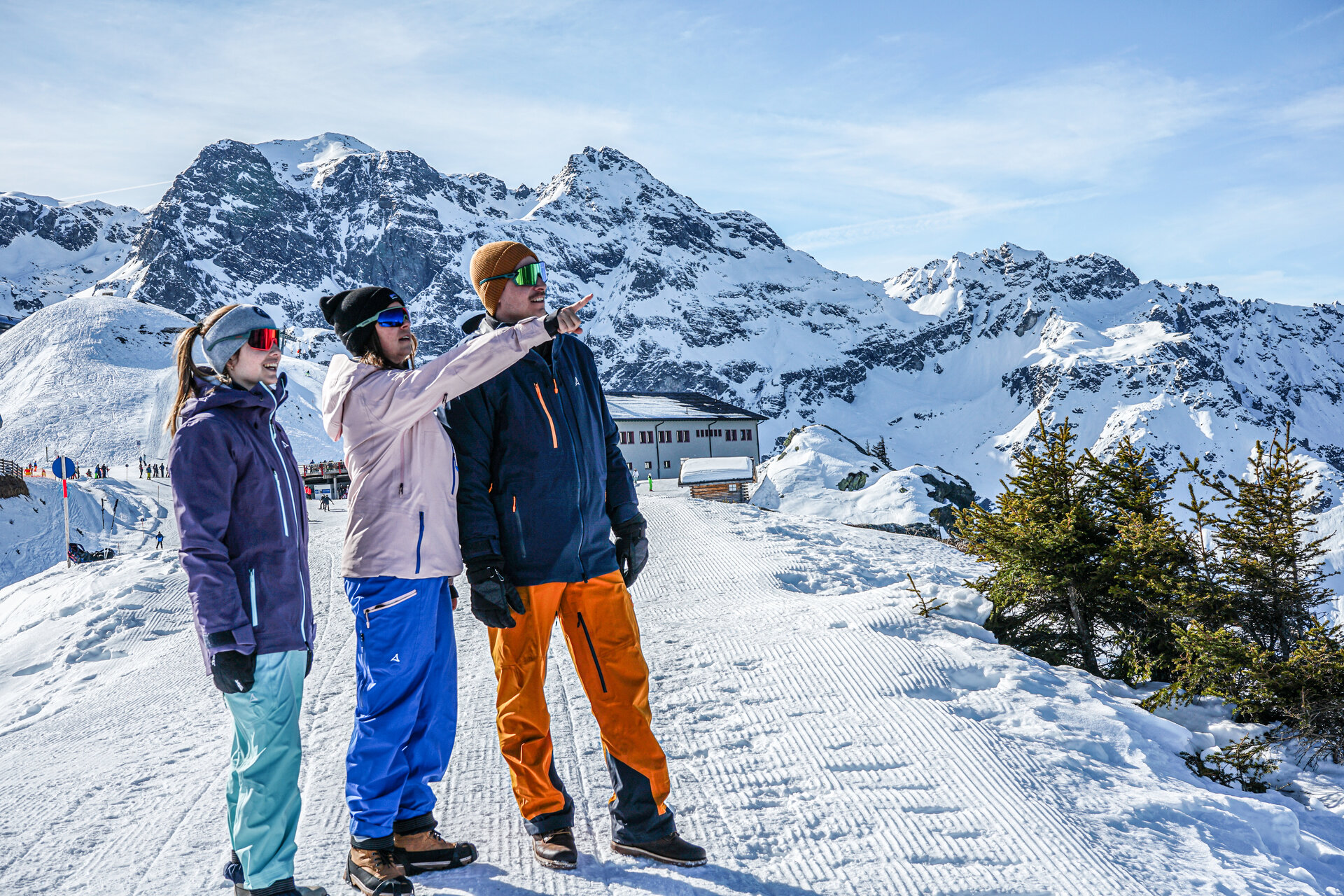
A very beautiful and at the same time enjoyable hike in the Silvretta Montafon ski area.

Approach

Take the A14 to the Bludenz/Montafon exit and continue on the Montafonerstraße L188 to Partenen.

Public transport

Just leave your car standing

The regional buses run throughout Montafon. The main lines run every half hour from Schruns station.

Bus stop at the start/finish of the route: Gaschurn Bergbahnen / line 85

Timetable: www.vmobil.at

Arrival by train to Montafon

From Bludenz station, the Montafonerbahn runs hourly (sometimes every half hour). There are also direct connections from Lindau (D) and Bregenz

Timetable: www.oebb.at

Parking

Versettla Bahn parking lot

Directions

From the top station of the Versettla Bahn, the marked winter hiking trail leads us towards Gantekopf and returns along the same route.

Equipment

We recommend good footwear, hiking poles, and spikes/crampons (available at Intersport)

Please ensure sufficient sun protection. The sun's rays on snow and at high altitudes should not be underestimated.

Tips

This route is marked on the overview map "Aktivkarte Schnee" on the back with the pink number 10. The map is available for free at the Montafon tourist offices.

Literature

This path is marked with the pink number 10 on the Aktivkarte Schnee. You can find this free map in all tourist offices in Montafon.

Destination

Gaschurn, Versettla Bahn top station

Starting Point

Gaschurn, Versettla Bahn top station

Sicherheitstipps für Winterwandern in Vorarlberg

NOTRUF:

140 - Alpine Notfälle österreichweit 

144 - Alpine Notfälle Vorarlberg 

112 - Euro-Notruf (funktioniert mit jedem Handy/Netz) 

Wetterbedingt kann es vorkommen, dass die Wanderwege nicht täglich frisch gespurt werden. Je nach Schnee- und Wetterverhältnissen kann es zu Änderungen kommen.

Eigenschaften
Routentyp Winter hiking, Refreshment stops
Schwierigkeit Moderate
Höhenprofil
Beste Jahreszeit
Jan
Feb
Mär
Apr
Mai
Jun
Jul
Aug
Sep
Okt
Nov
Dez