Tour description
Kirchplatz Schruns - pedestrian zone - Broxweg - Gauenstein Monastery - Landschrofen-Känzili viewpoint - JUFA Montafon - Kaltenbrunnen train station - Ill cycle path - Tschagguns train station - Litz promenade - Kirchplatz Schruns
If Broxweg is closed due to logging work or other reasons, we recommend walking from the Litz chapel along Außerlitzstraße to the Vitalhotel Gauenstein and from there to Gauenstein Monastery.
This cozy round is well suited for a long walk. There are dining options along the route (Schruns town center, JUFA Montafon, and the branch of Schapler bakery as well as Liberty snack bar in Gantschier/Kaltenbrunnen). The walking route is ideal for children. At the Landschrofen-Känzili viewpoint, children can linger, play in the forest, or be creative. The JUFA Montafon (large indoor playground) is only a few meters from the route. And if you no longer want to walk in Gantschier (Kaltenbrunnen), you can take the bus or train back to Schruns.
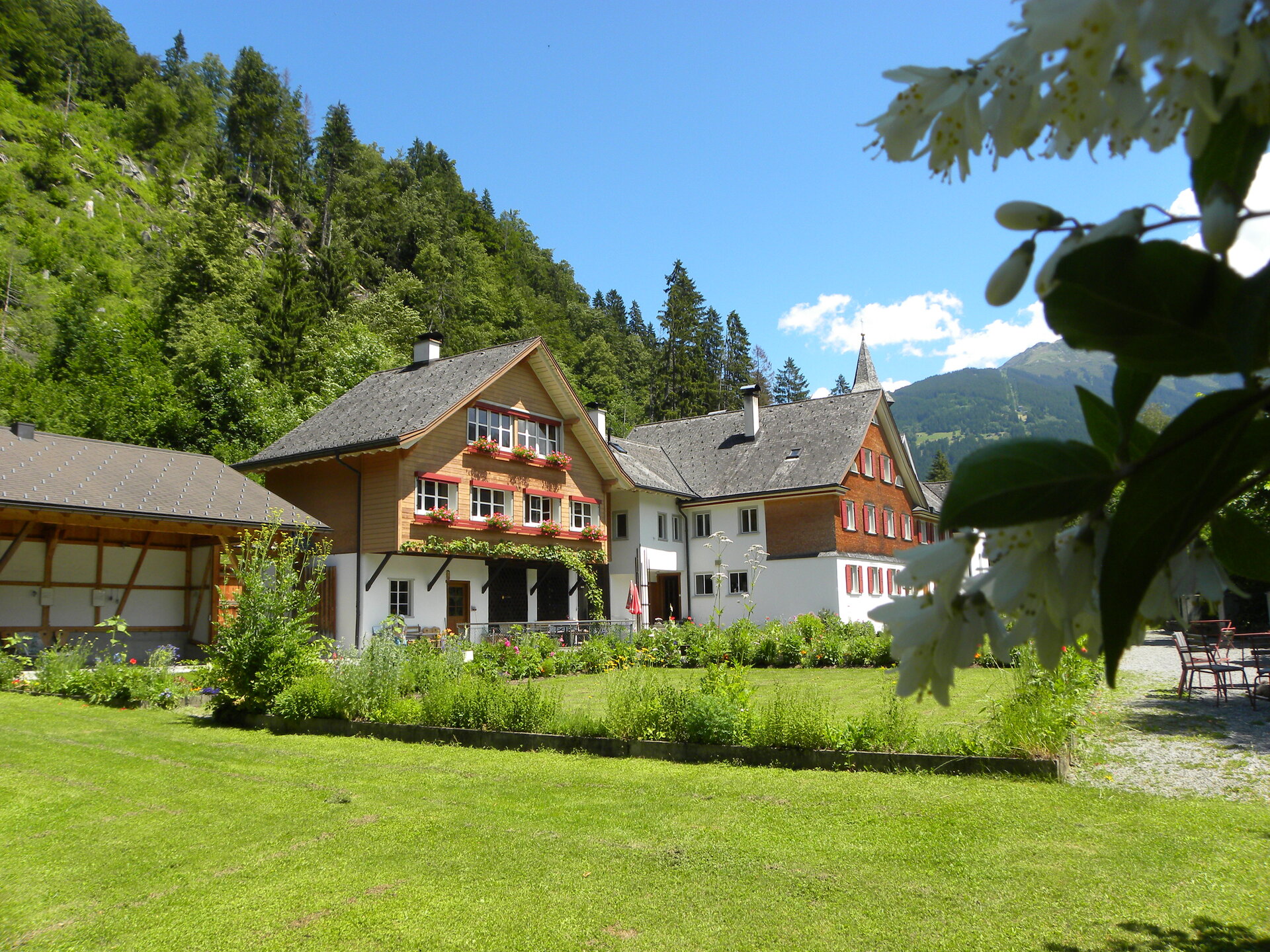
The route offers great views: From Montjola (Broxweg), you can see Schruns-Tschagguns from above and have the Zimba mountain peak in sight. From Gauenstein Monastery, you enjoy a wonderful view of the Montafon landmark, the famous Three Towers in the Rätikon. Depending on visibility and weather, the Three Towers seem within reach (especially in föhn weather).